
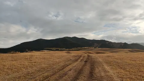
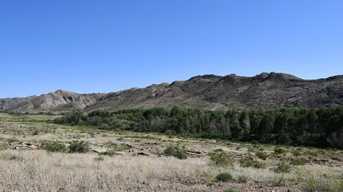
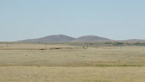


To see the Kazakh steppe, go to Korgalzhyn or Buiratau from Astana, or stop in the high Kegen valley on the road east of Almaty. Korgalzhyn is the most rewarding but needs arranging in advance, while the other two are straightforward. If you want the geography of zones and soils, read about the natural zones of Kazakhstan. This page is about the trip.
Pick by access first
The steppe looks open, yet the legal status of each stretch decides your plan. A reserve needs prior approval, a national park charges entry, and roadside steppe needs nothing at all.
| Place | Base | Steppe type | Access |
|---|---|---|---|
| Korgalzhyn | Astana, about 130 km | steppe and salt lakes | reserve: permit and guide |
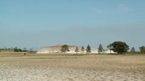
| Naurzum | Kostanay, about 190 km | steppe, sand, pine | reserve: by arrangement |
| Buiratau | Astana, 131 km straight line | dry steppe, hills, birch groves | national park: paid |
| Ereymentau | Astana, 127 km straight line | foothill steppe | Buiratau branch |
| Kegen | Almaty, 191 km straight line | high steppe | from the road |
| Assy Plateau | Almaty, about 75 km | mountain pasture | eco-post, 0.15 MCI on foot |
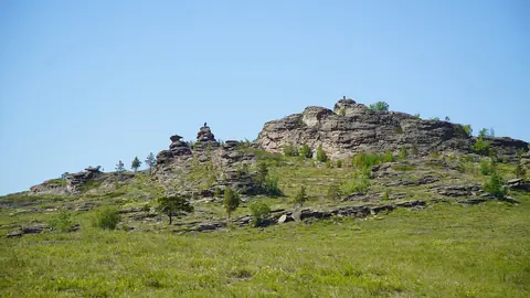
| Ulytau | Zhezkazgan, about 106 km straight line | steppe and granite | check the road |
Fees are set in MCI units, and the fee calculator converts them for the current year. If you do not speak Russian or Kazakh, get a local contact to arrange Korgalzhyn for you.
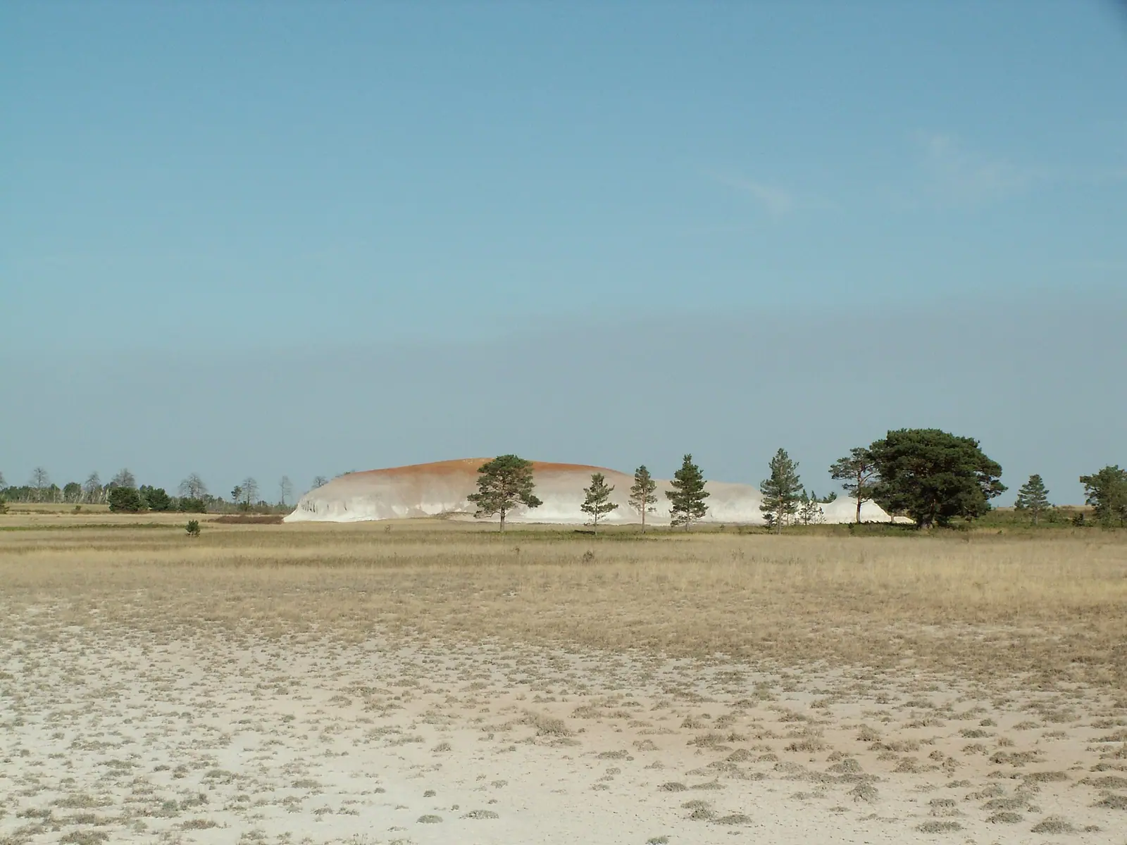
Saryarka: the steppe UNESCO listed
The World Heritage site covers 450,344 ha across Korgalzhyn and Naurzum, including 200,000 ha of Central Asian steppe. UNESCO says it shelters more than half the species of the region’s steppe flora, threatened birds and the saiga.
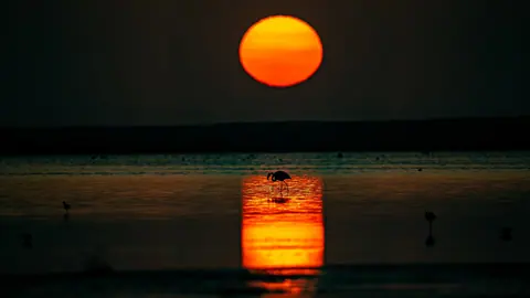
Administration routes at Korgalzhyn run from May to October with an escort, and the big draw is birdlife on the lakes, including the flamingos at Tengiz. Naurzum has six ecological trails, and its lakes fill and shrink in multi-year cycles, so ask the reserve office about the current state.
Easier steppe, no reserve rules
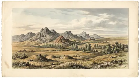
If you are heading to Charyn or Kolsai anyway, the Kegen valley gives you open high steppe at around 2,000 m with no effort. There is nothing specific to see at the village, so treat it as a long stop.
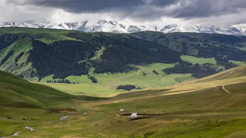
Assy Plateau, 2–2.5 hours each way from Almaty, is greener mountain pasture with herds in summer. The Assy-Turgen observatory stands there at 2,750 m, and the Fesenkov Institute reports no light pollution, which also makes the plateau a place for stargazing and meteor showers. From Astana, Buiratau is the most direct: a park of 88,968 ha created in 2011, in dry steppe and low hills. Skip the Irgiz-Turgai reserve, whose boundary signs read no entry, and the Turgai geoglyphs, which you can really read only from satellite images.
When to go
The steppe has a short green season, so timing matters more than distance. By high summer, the lowland grass burns off and there is no shade.
| Months | What you get | Where |
|---|---|---|
| April–May | flowers, migrating birds | Korgalzhyn from May, Ulytau |
| June–August | green high pasture | Kegen, Assy, Buiratau |
| September | milder heat, birds again | Korgalzhyn, Ulytau |
| November–March | snow, frost, uncertain roads | not recommended |
Bring more water than seems reasonable, a hat and offline maps, because signal disappears quickly out here. For flowers, see wild tulips of Kazakhstan. For animals, read the guides to wildlife and saigas.
- Current procedure and lead time for arranging visits to Korgalzhyn and Naurzum.
- English-speaking guides at either reserve.
- Road conditions on the steppe stretches of Ulytau.