


East Kazakhstan Region is the far eastern corner of the country, where the Kazakh Altai meets the Irtysh basin and the Zaysan desert. This page compares eight places so you can pick one or two: a ski base near Oskemen, taiga around Ridder, Belukha, the Rakhmanov hot springs, Bukhtarma Reservoir, Lake Zaysan, the Kiin-Kerish clay cliffs and the Berel kurgans. Apart from skiing, almost everything here works best from June to August.
Plan from Oskemen, not from Almaty
Every place on this page is measured from Oskemen (Ust-Kamenogorsk), the regional city, and that is where a trip here starts. The Bukhtarma page puts it plainly: a summer lake trip from Oskemen, not a day out from Almaty. Straight-line distances from Oskemen run from 22–40 km for the Altai Alps ski base to about 284 km for Belukha. Road distances are longer, and for most places we could not confirm them.
For a visitor without a car or Russian, this matters. We could not confirm public transport to any of these places. Only the ski base has a stated drive time, about 40 minutes by car. Belukha, Berel, Kiin-Kerish and Zaysan are weekend trips at least, and the Rakhmanov Springs count as a long trip.
Eight places compared
The table shows the trade-off quickly: the closer a place is to Oskemen, the easier it is, and the strongest sights are also the furthest away.
| Place | From Oskemen (straight line) | What it is | Best months | Trip length |
|---|---|---|---|---|
| Altai Alps | 22–40 km | Ski base, night skiing | Dec–Feb | Day |
| Ridder and West Altai Reserve | about 116 km | Fir and cedar taiga, cirque lakes, granite tors | Jun–Aug | Day |
| Bukhtarma Reservoir | about 146 km | Largest reservoir in Kazakhstan | Jun–Aug | Day |
| Lake Zaysan | about 239 km | Vast shallow lake in a high basin | Jun–Aug | Weekend |
| Kiin-Kerish | about 243 km | Red, orange and white clay towers | May, Sep | Weekend |
| Berel Kurgans | about 278 km | Frozen burial mounds | Jun–Aug | Weekend |
| Belukha | about 284 km | Highest peak of the Altai | Jul–Aug | Weekend or longer |
| Rakhmanov Springs | 111 km beyond Katon-Karagay | Radon hot springs by a lake | Jun–Aug | Long |
If you have one free day in Oskemen, the realistic choices are Ridder, Bukhtarma or, in winter, the Altai Alps. Everything else needs at least a weekend.
Mountains and taiga: Ridder, Belukha and the Rakhmanov Springs
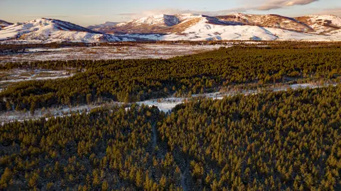
The northeast and the far east of the region are mountain country, and they are colder and wetter than most people expect of Kazakhstan. Ridder is the base for the West Altai Reserve, 86,122 ha of protected taiga, a UNESCO biosphere reserve since 2020, with Lineisky Belok rising to 2,598 m. Its summers are short and wet and its winters long.
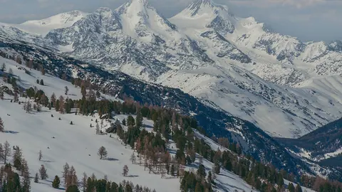
Belukha is the high point of the Altai, a glaciated massif on the border with Russia’s Altai Republic. Its height is given as 4,506 m on a 1948 map and 4,509 m today. It lies in a border zone where a permit is needed, and its season is a short window in midsummer.
The Rakhmanov Springs are thermal radon springs by Rakhmanov Lake in Katon-Karagay National Park, with water at +32 to +42 °C. They lie 111 km beyond Katon-Karagay village, in a border district, and the last 13 km of mountain road reopened after repairs. Their season ratings are “possible” or better in every month.
Water: Bukhtarma and Zaysan are one system
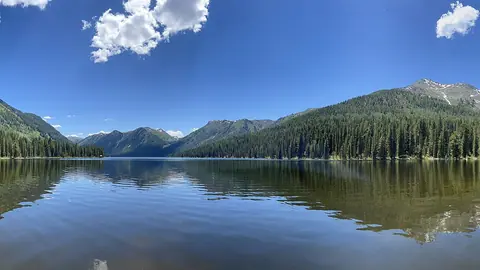
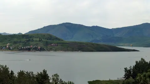
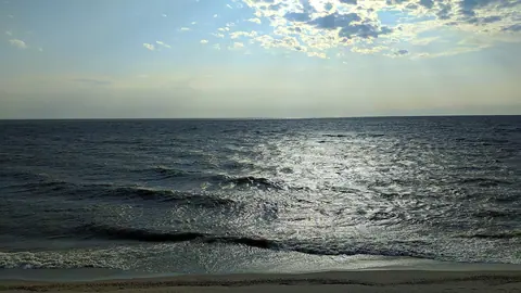
Bukhtarma Reservoir is a dammed stretch of the Irtysh that took in Lake Zaysan, so the two pages describe linked water. Bukhtarma runs about 425 km between the Kalba, Narym and Kurchum ridges. Its area is given as 5,490 km² on one version of its page and up to 5,940 km² on another, so treat the figure as a range. A 1,316 m bridge has crossed it since 2024.
Lake Zaysan lies in a flat basin at about 420 m between the Altai and Tarbagatai ranges. It is about 105 km long, shallow (up to 15 m), fringed with reeds, and may be one of the oldest lakes anywhere, possibly around 70 million years. It is frozen from November to late April, so both waters are summer-only trips.
Desert and the past: Kiin-Kerish and Berel
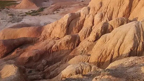
The south of the region is dry, and its two most unusual sights are a clay canyon and a field of ancient graves. Kiin-Kerish, the Burning Cliffs, covers about 300 ha of red, orange, white and bluish clay towers in the Zaysan basin, with deposits 15–30 million years old and known for fossils. It has no water, and after rain the white clay turns the roads into glue.
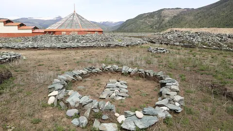
The Berel Kurgans are more than 100 stone mounds on a terrace above the Bukhtarma river at about 1,120 m, 7 km from Berel village. Permafrost preserved wood, felt, leather and horse remains from Pazyryk-era burials for more than two thousand years. The site has been a state museum-reserve since 2008. Treat it as a burial ground: walk around the mounds, not over them.
Month by month: summer for almost everything, winter for skiing
Six of the eight places peak between June and August, so a summer trip lets you combine several. The exceptions are the ski base, which is best in midwinter, and Kiin-Kerish, which is at its best in May and September.
| Period | What works | What does not |
|---|---|---|
| Dec–Feb | Altai Alps skiing, including night skiing | Zaysan frozen; Belukha, Berel, Bukhtarma and Kiin-Kerish off |
| Mar–Apr | Late skiing until mid-April; Rakhmanov Springs possible | Zaysan ice until late April; most places rated off or only possible |
| May | Kiin-Kerish at its best; Zaysan and Berel start to be good | Ridder rated only possible; Belukha off-season |
| Jun–Aug | Ridder, Bukhtarma, Zaysan, Berel, Rakhmanov all at their best; Belukha’s short window in Jul–Aug | Kiin-Kerish has no water and is rated weaker in July |
| Sep | Kiin-Kerish best again; most others still good | Belukha closing; Ridder shoulder season |
| Oct–Nov | Ski season begins in November | Most outdoor places drop to possible or off |
On the Kiin-Kerish page the best months are given as May and September in one version and June and September in another; the monthly ratings favour May and September.
What stands in the way
Three obstacles recur across these pages: border zones, roads and weather. Belukha needs a border-zone permit, and the Rakhmanov Springs are in a border district; we could not confirm how permits are issued or how long they take. Kiin-Kerish roads fail after rain, and the road to Rakhmanov involves a long mountain section.
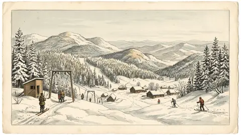
Weather in the Altai is harsher than the steppe image of Kazakhstan suggests. Ridder’s summers are wet, and Zaysan is frozen for about half the year. If you can only come outside summer, the Altai Alps ski base is the one place built for winter, with five lifts between 640 and 1,006 m and a season from November to mid-April.
- Public transport from Oskemen to any of these places
- How to obtain a border-zone permit for Belukha and the Rakhmanov area, and how long it takes
- Road distances and current road condition to Kiin-Kerish, Berel, Zaysan and Rakhmanov Springs
- Visiting hours and entry rules at the Berel museum-reserve
- How to reach Oskemen itself from Almaty or Astana