
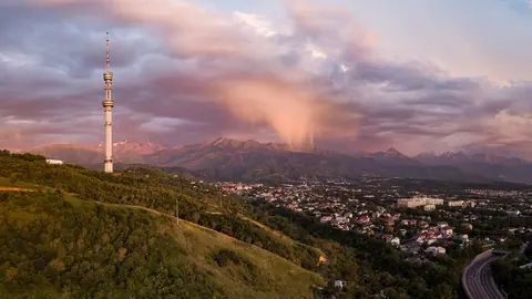
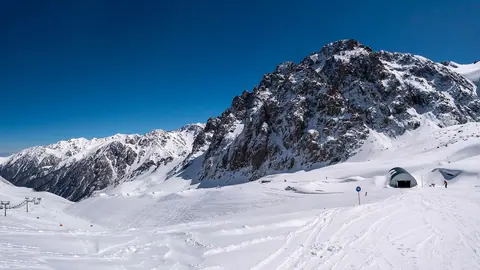
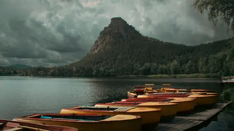
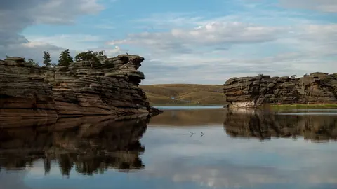
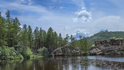
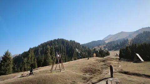
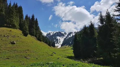
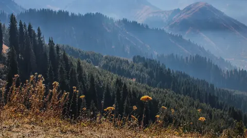
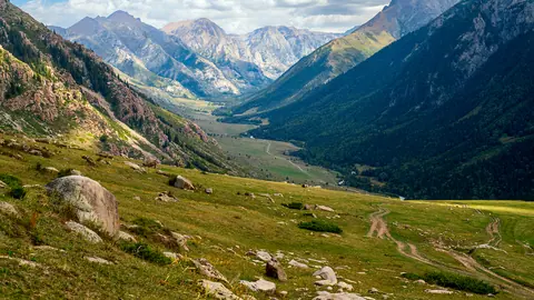
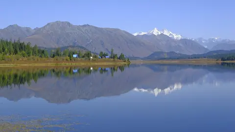
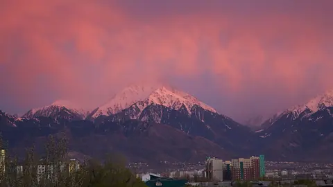
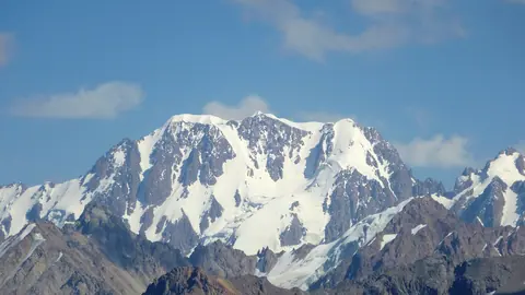
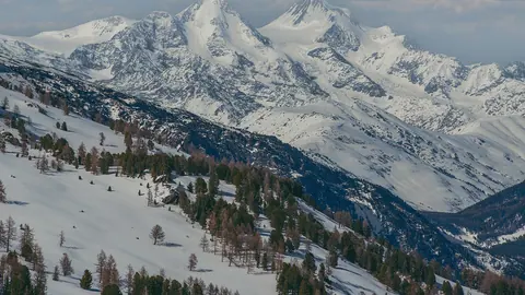
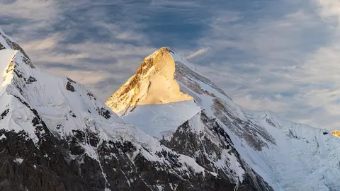


Kazakhstan’s mountains are mostly a border story. On a Kazakhstan mountains map the high ground runs along the south-east and east, and four of the five highest points on the chart below sit on a state frontier. So if you are a foreign visitor, check the paperwork before you pick a summit. Fourteen cards above run from places you can reach in a cable car to climbs for mountaineers only.
The highest mountain in Kazakhstan, with one caveat
The highest peak in Kazakhstan is Khan Tengri: 6,995 m of rock plus an ice cap that takes it to 7,010 m. The 15 m gap is ice and not a measuring dispute, and the mountain counts as a seven-thousander only with the cap. It stands on the tri-border with Kyrgyzstan and China. Among the points on this chart, the highest fully inside the country is Talgar in the Trans-Ili Alatau above Almaty, at 4,973–4,979 m (Trekking Club gives 5,017 m).
Wikipedia, opened 05.11.2026. Where sources give a range, the bar shows the upper figure
Read the chart as a warning about the word “mountain”. The top of the list is more than 12 times the height of the bottom, and a trip to Besshoky has nothing in common with a trip to Talgar.
Kazakhstan mountain ranges at a glance
Only the south-east and east rise above 4,500 m. In the centre and west, nothing on this list reaches 1,500 m.
| Range | Where | High point | What it means for you |
|---|---|---|---|
| Tian Shan at the tri-border | Kazakhstan, Kyrgyzstan, China | Khan Tengri, 7,010 m | mountaineering only |
| Trans-Ili (Ile) Alatau | above Almaty, in Ile-Alatau park | Talgar, 4,973–4,979 m | the most day hikes |
| Kungey Alatau | Kyrgyz border, 275 km long | 4,771 m | our source gives no summit name |
| Dzungarian Alatau | Chinese border, 450 km long | 4,622 m | base at Zhongar-Alatau park |
| Altai | Russian and Chinese borders | Belukha, 4,506–4,509 m | Katon-Karagay, several days |
| Talas Alatau | Western Tian Shan, Turkestan Region | Sayram, 4,220–4,238 m | Sayram-Ugam, about 70 km from Shymkent |
| Ketmen | Kazakhstan and China, 310 km long | Aspan, 3,652 m | Uygur and Raiymbek districts |
| Tarbagatai | Chinese border, about 300 km long | Tastau, 2,992.7 m | national park, start at Urzhar |
| Karatau | Tian Shan spur, Turkestan Region | Bessaz, 2,176 m | reserve, ask about access first |
Names are not settled everywhere. One article calls the 4,622 m summit both Besbakan and Semyonov-Tyan-Shansky Peak, so we simply say “high point, 4,622 m”.
Which mountain fits your fitness
Effort depends on ascent and hours on foot, not on the number on the map. Shymbulak tops out at 3,200 m and is easier than Kok-Zhailau because a gondola does the climbing.
| Level | Who it suits | Where | Effort |
|---|---|---|---|
| 1. Lift | anyone, including children | Kok-Tobe, Shymbulak | about 6 min on the Kok-Tobe cable car, up to 15 min on the gondola |
| 2. Half-day trail | walkers with proper shoes | Kok-Zhailau, Butakovka | about 3 hours up |
| 3. Full day | fit hikers | Furmanov Peak | 14–15 km, about 1,360 m of ascent, 7–8 hours |
| 4. Very long day | summit experience, early start | Big Almaty Peak | 12–15 hours, more than 1.6 km of ascent |
| 5. Expedition | mountaineers | Talgar, Belukha, Khan Tengri | Talgar: about a week, routes from 3A |
Unsure between two levels? Take the lower one: at level 4 there is little margin for a slow descent. For first summits see peaks for hikers, for trails see hiking in Kazakhstan, and for the area around the city see Almaty mountains.
To compare places for your month, use the map with a month filter, climate by month and distances from your city; the packing list covers what to bring. All six are in our planning tools.
The Altai mountains in Kazakhstan
The Kazakh Altai means Katon-Karagay National Park for most visitors: 643,477 ha, about 380 km from Oskemen (Ust-Kamenogorsk). Few people approach Belukha itself, a massif given as 4,506 m on a 1948 map and 4,509 m today. The realistic goals are the valleys, waterfalls and Rakhmanov Springs, where 13 km of repaired mountain road opened in October 2026.
Budget your days around the road: Katon-Karagay village is about five hours from Oskemen.
Low mountains in the steppe and the far west
These ranges stay under 1,500 m. Choose them for scenery, history and distance from where you are, since altitude will not be the draw.
- Burabay: Mount Kokshe, 947 m, about 257 km from Astana.
- Bayanaul: Mount Akbet, 1,022–1,027 m; sources differ.
- Karkaraly: 1,403 m, with a trail to Lake Shaitankol.
- Ulytau: 1,131 m, visited for mausoleums and burial mounds.
- Mugodzhar: 657 m at Big Boktybay, the southern end of the Urals. We have not checked the roads.
- Mangystau: Besshoky, 556 m, plus Bokty mountain in the Kyzylsay park area. Bozzhyra is 4x4 only.
Bokty mountain and Big Boktybay sound alike but lie in different regions, so check which one a route means.
Permits and border zones
Government Decree No. 356 lists the places where foreigners need no border-zone permit: Big Almaty Lake, Ozerny Pass, the Zhongar-Alatau and Charyn parks, Kaindy, the lower and middle Kolsai lakes, and Big Rakhmanov Lake. Khan Tengri and Belukha are not on it, and the Raiymbek and Katon-Karagay districts are named as border districts.
Start with our guide to the border zone permit before you plan anything high. On Belukha’s Russian side, English Wikipedia (citing Lonely Planet) says independent visitors have needed an FSB border pass since 2008; we have not seen the primary document. Talgar stands inside the Almaty Nature Reserve, and its page lists a separate reserve permit.
Hazards we could confirm
What we can confirm is tied to specific places and dates. We found no national overview.
| Place | What the source says | Source |
|---|---|---|
| Kolsai | avalanche-prone slopes after snowfall; above the lower lake in winter only with experience | AIR Press, 18.10.2026 |
| Big Almaty Lake | rockfall, steep gradients, limited visibility | Kursiv, 30.04.2026 |
| Burabay | class 5 fire danger; access to Bolektau restricted from 25 June 2026 | Kazinform, 23.06.2026 |
Registering a route. Emergencies Ministry Order No. 363 of 27 August 2025 sets a list of high-risk sites and three ways to report a route: eQonaq, email to the regional body, or 112. On 30 October 2026 Almaty presented Almaty Hike, a site with an English version where you enter your route, phone number and return time, then mark your return (Informburo, Zakon.kz). Neither the site nor Informburo calls this check-in mandatory, and the order does not name it; our safety page covers what we would do on a listed route.
- Government data on mudflows and ticks: we could not confirm them.
- How to get a border permit for Khan Tengri or Belukha from the Kazakh side, and how long it takes.
- Whether the Burabay restrictions still apply in November 2026.
- The height of Saur and its summit Muz-Tau, and the height of Bokty.
Before going high, read our general page on safety in Kazakhstan. These ranges are the Kazakh part of a larger system: see the Tian Shan in Kazakhstan. If you are still choosing a country, read Kazakhstan or Kyrgyzstan.
Frequently asked questions
What is the tallest mountain in Kazakhstan?
Which mountains can I reach easily from Almaty?
Where is Bokty mountain in Kazakhstan?
Do I need a permit for Khan Tengri or Belukha?
Can I see the mountains without hiking?
Sources
- Almaty Hike: service website, checked 05.11.2026
- Order No. 363 of the Minister for Emergency Situations, 27.08.2025
- Almaty Hike: Zakon.kz, 30.10.2026
- Almaty Hike hike registration: Informburo
- Khan Tengri — Wikipedia
- Khan Tengri — Wikipedia (Russian)
- Talgar Peak — Wikipedia (Russian)
- Trans-Ili Alatau — Wikipedia (Russian)
- Kungey Alatau — Wikipedia (Russian)
- Dzungarian Alatau — Wikipedia
- Dzungarian Alatau — Wikipedia (Russian)
- Belukha Mountain — Wikipedia
- Belukha — Wikipedia (Russian)
- List of mountains in Kazakhstan — Wikipedia
- Ketmen Range — Wikipedia (Russian)
- Tarbagatai Mountains — Wikipedia (Russian)
- Karatau Mountains — Wikipedia
- Karkaraly Mountains — Wikipedia (Russian)
- Ulytau Mountains — Wikipedia (Russian)
- Bayanaul Mountains — Wikipedia (Russian)
- Mugodzhar Hills — Wikipedia (Russian)
- Besshoky — Wikipedia (Russian)
- Government Decree No. 356 — Adilet (Russian)
- Kolsai in winter — AIR Press, 18.10.2026
- Big Almaty Lake closed to private cars and scooters — Kursiv, 30.04.2026
- Access to a Burabay mountain restricted — Kazinform, 23.06.2026