
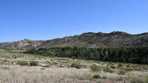


Hiking in Kazakhstan is easiest around Almaty, where trails such as Kok-Zhailau and Furmanov Peak start within reach of city buses and climb into Ile-Alatau National Park. Further trips, to Kaindy Lake, the Assy Plateau, the Altai around Ridder or the granite hills of the steppe, need a car, a weekend or more, and more planning. The main season for walking is June to September.
Hiking in Almaty: the mountains begin at the city edge
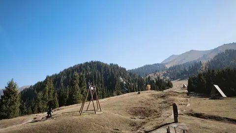
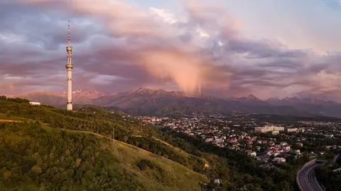
Almaty is the base for most hikers because several trails start at or near bus stops. Kok-Zhailau is the classic weekend walk: about three hours up from the Ak-Bulak bus stop, or a 14 km traverse with 1,020 m of ascent between the Small and Big Almaty gorges. From Medeu, reached by city bus No. 12, one trail climbs to the 3,053 m summit of Furmanov Peak past the Sky Swings, and another crosses a pass to the Butakovka waterfall.
The numbers below matter if you are judging your own fitness. A 1,000 m climb is a full day for most people, and Furmanov adds altitude above 3,000 m on top of that.
| Trail | Start | Distance | Ascent | Time |
|---|---|---|---|---|
| Kok-Zhailau | Ak-Bulak bus stop | 14.26 km traverse | 1,020 m | ~3 h up |
| Furmanov Peak | Medeu | 14–15 km return | ~1,360 m | 7–8 h |
| Butakovka waterfall | Medeu, over a pass | not stated | not stated | 2.5–3 h each way |
| Big Almaty Lake | road end south of the city | 15 km each way | not stated | 4–6 h up |
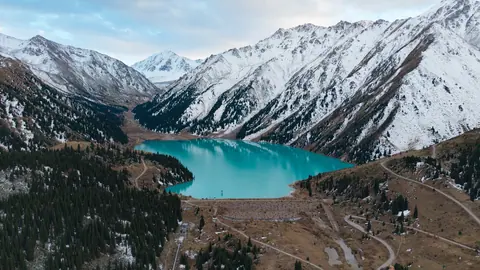
Big Almaty Lake takes a long day: the road has been closed to private cars since 2020 and to motorcycles and electric transport since 30 April 2026, so you walk. Swimming is banned because the lake supplies the city’s drinking water. Ile-Alatau National Park charges a small entry fee set in MCI units, the state’s monthly calculation index.
Easier walks if you want height without a long climb
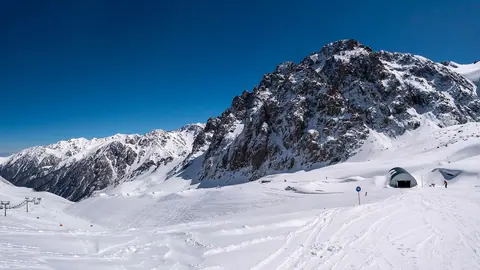
Not every mountain day near Almaty needs a 1,000 m ascent. Shymbulak, above Medeu, runs a 4.5 km gondola that takes up to 15 minutes, and in summer the resort fills with walkers; the resort’s top point is Talgar Pass, 3,200 m. That is high enough to feel the altitude even if your legs are fresh.
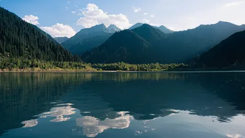
Kok-Tobe, a 1,130 m hill on the city’s edge, is a gentler option reached by buses 95 and 99 or a roughly 6-minute cable car. It works as a first day out before anything serious. Issyk Lake, about 40 km east of Almaty at around 1,714 m, combines a short outing with history: a mudflow on 7 July 1963 burst its natural dam, and the Saka burial mounds of the Golden Man lie just below.
Weekend trips: Kaindy, Assy and the Dzungarian Alatau
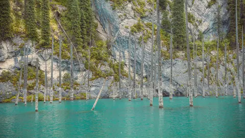
The next tier of hiking in Kazakhstan needs a vehicle and usually an overnight stay. Kaindy Lake, with spruce trunks standing in the water since the 1911 earthquake, is 284 km from Almaty and 5–7 hours each way; the last stretch is a 9.9 km road under repair since October 2025, then a 1.5 km walk to the shore. Summer water is around +6 °C.
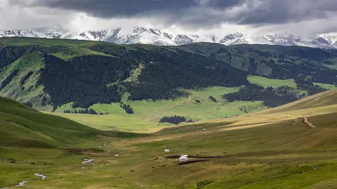
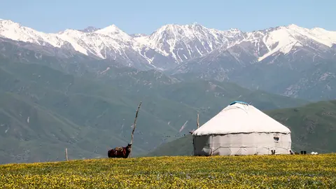
The Assy Plateau is a high summer pasture up to 40 km long, at 2,200–2,750 m, about 75 km from Almaty and 2–2.5 hours each way through the Turgen gorge. The access road calls for an SUV or crossover, and walkers pay a small park fee. Herders still graze sheep and horses here, and an observatory stands on the western edge.
Tekeli, a former mining town at 950–1,600 m in the Dzungarian Alatau foothills, about 235 km from Almaty in a straight line, is the base for gorge walks to Burkhan-Bulak, described as Kazakhstan’s largest waterfall. There are no passenger trains to the town.
Hiking beyond Almaty: the Altai and the steppe ranges
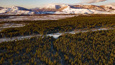
Outside the south-east, the hiking is quieter and the logistics heavier. Around Ridder in East Kazakhstan, about 116 km in a straight line from Oskemen, the West Altai Reserve protects 86,122 ha of fir and cedar taiga, cirque lakes and granite tors, topping out at 2,598 m. Summers there are short and wet, and the reliable window is only June to August.
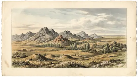
In central and northern Kazakhstan the ranges are low and rocky. The Ereymentau hills, about 127 km in a straight line east of Astana, rise to 901 m and hold more than 400 plant species and a branch of Buiratau National Park. The Ulytau range, 200 km long with Akmeshit peak at 1,131 m, lies about 106 km in a straight line from Zhezkazgan and mixes walking with Jochi Khan’s mausoleum and hundreds of recorded monuments.
| Area | Nearest city | Highest point | Peak months |
|---|---|---|---|
| Ile-Alatau above Almaty | Almaty | 3,053 m (Furmanov) | June–October |
| Kolsai / Kaindy | Almaty, 284 km | not stated | June–September |
| West Altai (Ridder) | Oskemen, 116 km line | 2,598 m | June–August |
| Ereymentau | Astana, 127 km line | 901 m | June, August |
| Ulytau | Zhezkazgan, 106 km line | 1,131 m | May, September |
The table shows a useful split: Ulytau peaks in late spring and early autumn, when the high Almaty trails may still hold snow or are already cooling.
When to go hiking in Kazakhstan, month by month
June to September is the core season almost everywhere, with October still good on the lower Almaty trails. Kok-Zhailau and Butakovka stay at their peak into October, while Big Almaty Lake is rated as a top choice only in July and August.
| Months | What works |
|---|---|
| November–March | Low walks only; Kok-Zhailau is effectively off in March and April |
| April–May | Ulytau at its peak in May; Almaty trails and Ereymentau starting |
| June–August | Everything open: Almaty peaks, Kaindy, Assy, Ridder, Bayanaul |
| September | Ulytau again at its peak; Almaty and Kaindy still good |
| October | Kok-Zhailau, Butakovka, Issyk; most high and northern areas winding down |
If you can only come in shoulder season, plan around Almaty’s lower trails or Ulytau rather than the Altai.
Without a car or Russian: what stands in the way
The Almaty trails are the only ones on this list with bus access we could confirm. Bus No. 12 runs to Medeu for Furmanov Peak and Butakovka, Kok-Zhailau starts from the Ak-Bulak bus stop, and bus 28 goes to the Olen stop for the Alma-Arasan hot springs trail. Note that the Ak-Bulak bus stop is not the Ak-Bulak ski resort, which is about 40 km east of Almaty.
For Kaindy, Assy, Tekeli, Ridder and the steppe ranges, plan on a hired car or driver. We could not confirm bus schedules, trail signage or whether park staff speak English, so download offline maps before you leave the city.
Peaks that are expeditions, not hikes
Two of Kazakhstan’s best-known mountains are not walking destinations. Khan Tengri, about 292 km in a straight line from Almaty on the border with Kyrgyzstan and China, stands at 6,995 m rock and 7,010 m with its ice cap; it is an expedition peak with no trail and a short August to early September season.
Belukha, the highest peak of the Altai at 4,506–4,509 m, sits on the border about 284 km in a straight line from Oskemen. The Russian side has required a permit for independent trips since 2008; we could not confirm the Kazakh side’s rules. Treat both as climbing projects, not additions to a hiking holiday.
Difficulty, fees and park rules to check first
Difficulty depends mostly on ascent, and we found no official grading scale. The figures below come from Tengrinews route cards (2022) and our own pages, so compare them with your own fitness.
| Trail | Ascent | Time | Source’s label |
|---|---|---|---|
| Kok-Zhailau traverse, route 201 | 1,020 m | 3–4 h | Moderate trek |
| Kumbel via Three Brothers, route 202 | 1,987 m | 8–10 h | Hard trek |
| Furmanov Peak | ~1,360 m | 7–8 h | Not graded |
Before you set out, check four things:
- Fees. Under Order No. 232, Ile-Alatau charges a sanitary fee of 0.15 MCI per person per day and 0.2 MCI for overnight camping; the calculator converts this to tenge. Tent rules are on our camping page.
- Route reporting. Big Almaty gorge, Kumbel and Three Brothers are on the Order No. 363 list; Kok-Zhailau is not. See safety.
- Mudflows and weather. In July and August check mudflow warnings, and pack for the weather at your altitude.
- Ticks. From March to June, plan for ticks on spring trails such as Butakovka and Medeu.
- Current park fee amounts for Ile-Alatau and the Assy Plateau, and how they are paid
- Bus timetables to Medeu, the Ak-Bulak stop and the Olen stop
- How to obtain a border-zone permit for Belukha and how long it takes
- Trail signage, mountain huts and drinking water along the Almaty trails
- Current access rules and any booking system for the Big Almaty Lake walk
All the country’s ranges and high points are compared in our overview of Kazakhstan mountains. If you are still choosing a country, read Kazakhstan or Kyrgyzstan.