Map of places to visit in Kazakhstan
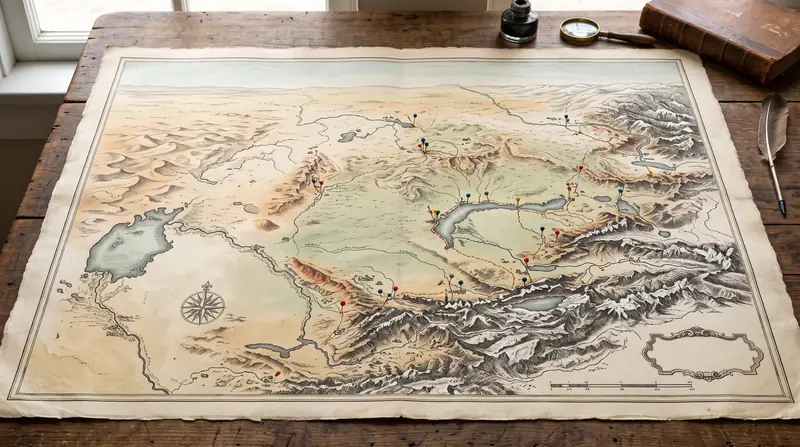
138 of our 148 places plotted on the outline of the country. Filter by month to keep only the places that suit your dates.
Your travel month changes the map most
Set the month filter first. It keeps places rated good or better for that month, and the number swings from 15 to 133 out of 148.
| Month | Rated good or better | Of which “best time” |
|---|---|---|
| January, February | 15 | 8 |
| March | 28 | 2 |
| April | 74 | 28 |
| May | 111 | 68 |
| June | 113 | 55 |
| July | 93 | 52 |
| August | 99 | 63 |
| September | 133 | 80 |
| October | 81 | 29 |
| November | 15 | 2 |
| December | 15 | 4 |
July offers fewer places than May or June. Canyons and deserts drop from 22 places in May to 5 in July, while mountains rise from 32 to 45. If your dates can move, September gives the widest choice. For November to February, start from the winter list. The ratings come from each place’s page and describe how suitable a trip is, not the weather you will get.
How to read markers and cards
Markers crowd together around Almaty, so use the “Show” menu to jump to a region and then zoom. Shape and colour show five groups, chosen by the place’s first type.
| Group | Shape | Places |
|---|---|---|
| History | hexagon | 49 |
| Lakes and water | circle | 36 |
| Mountains and snow | triangle | 32 |
| Canyons and deserts | diamond | 20 |
| Forest, steppe, wildlife | square | 11 |
The type filter checks all of a place’s types, so filtering by Lakes can leave a triangle on the map. A card gives the region, the season strip, the best months and the trip length: 65 places work as a day trip, 50 as a weekend and 33 need three days or more.
Ten places you will not find as markers
These appear in search and in the list, marked “no data”:
- Overview pages with no single location: Nature near Almaty, Snow Leopard in Kazakhstan, The Caspian seal.
- Places whose exact coordinates we could not confirm: Sarytogay ash grove, Aktau Mountains (Altyn-Emel), Okzhetpes & Zhumbaktas Rocks, Korkyt Ata Memorial, Kapal-Arasan, Eshkiolmes Petroglyphs, The Turgai Geoglyphs.
They are also missing from distances and from the trip outline, so look for directions on their own pages.
Use it for an overview, not for getting there
A marker shows the coordinates of the place’s page, not an entrance. Altyn-Emel, Katon-Karagay and Markakol are large territories, and our coordinate sources differ by 30 to 100 km for them.
The outline comes from Natural Earth and is simplified to 352 points, with no roads, villages or terrain. It also does not show where the border zone begins, so never judge from it how close a place is to a frontier. For the trip itself, download an offline map before you leave the city: signal is patchy outside towns. The where to go finder offers other ways to narrow down the list.