Verified: 2026-11
Almaty in winter by numbers in photos
Winter · 3 photos
More photos · 3 photos
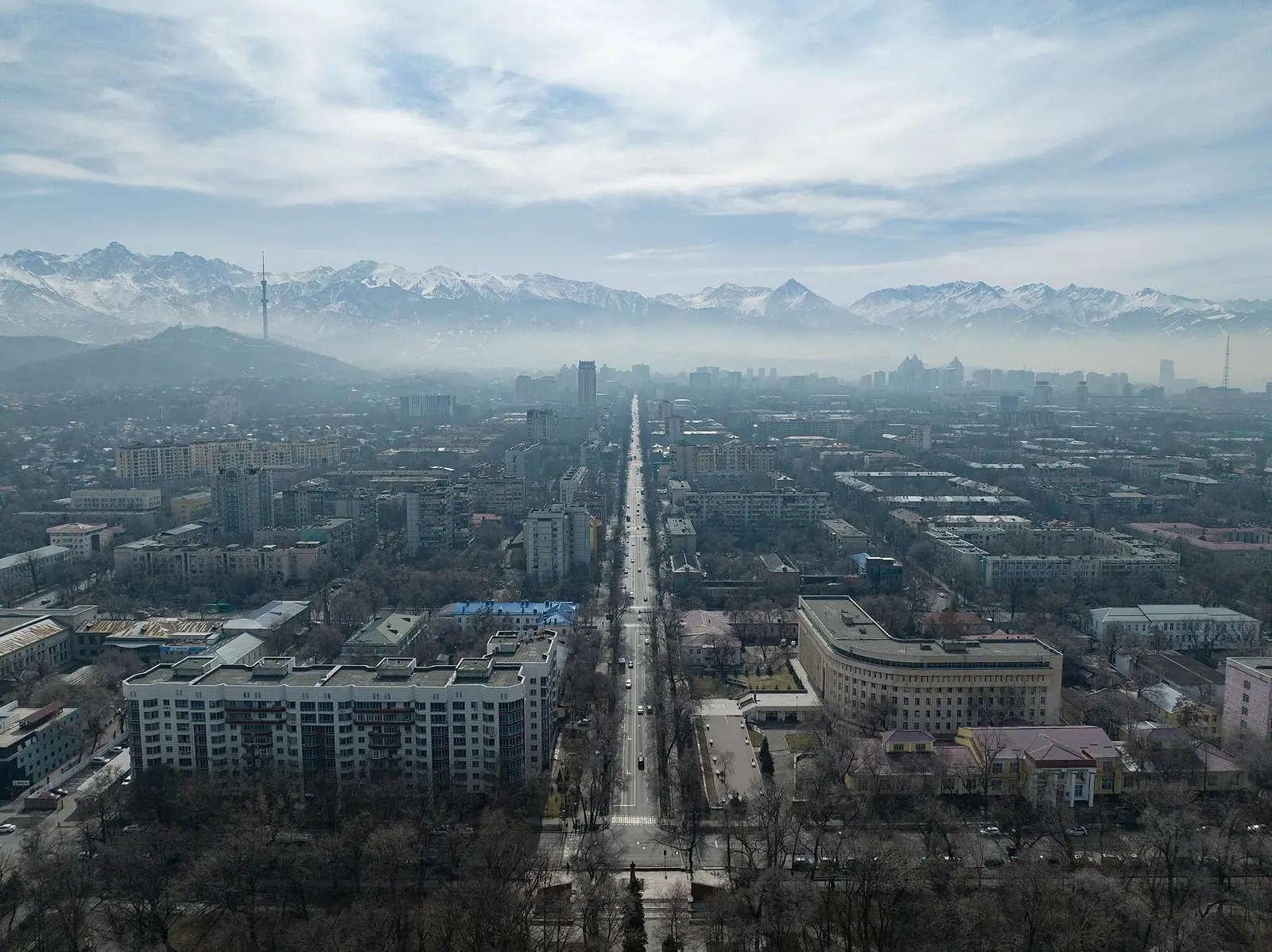
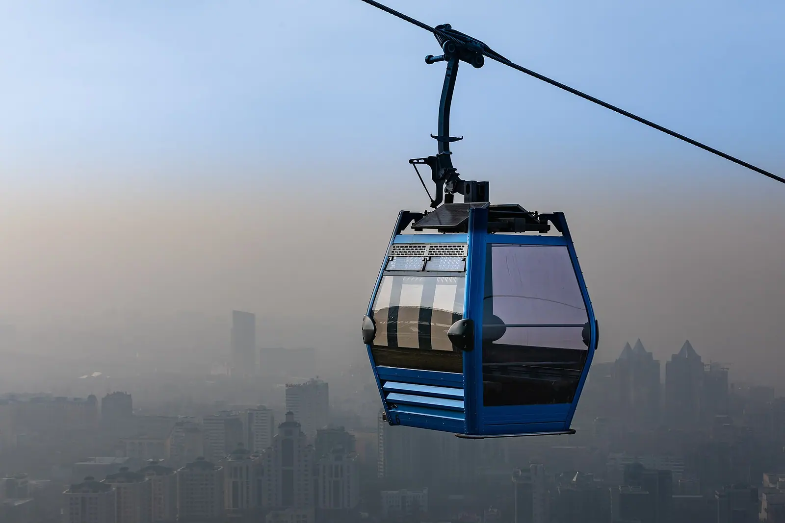
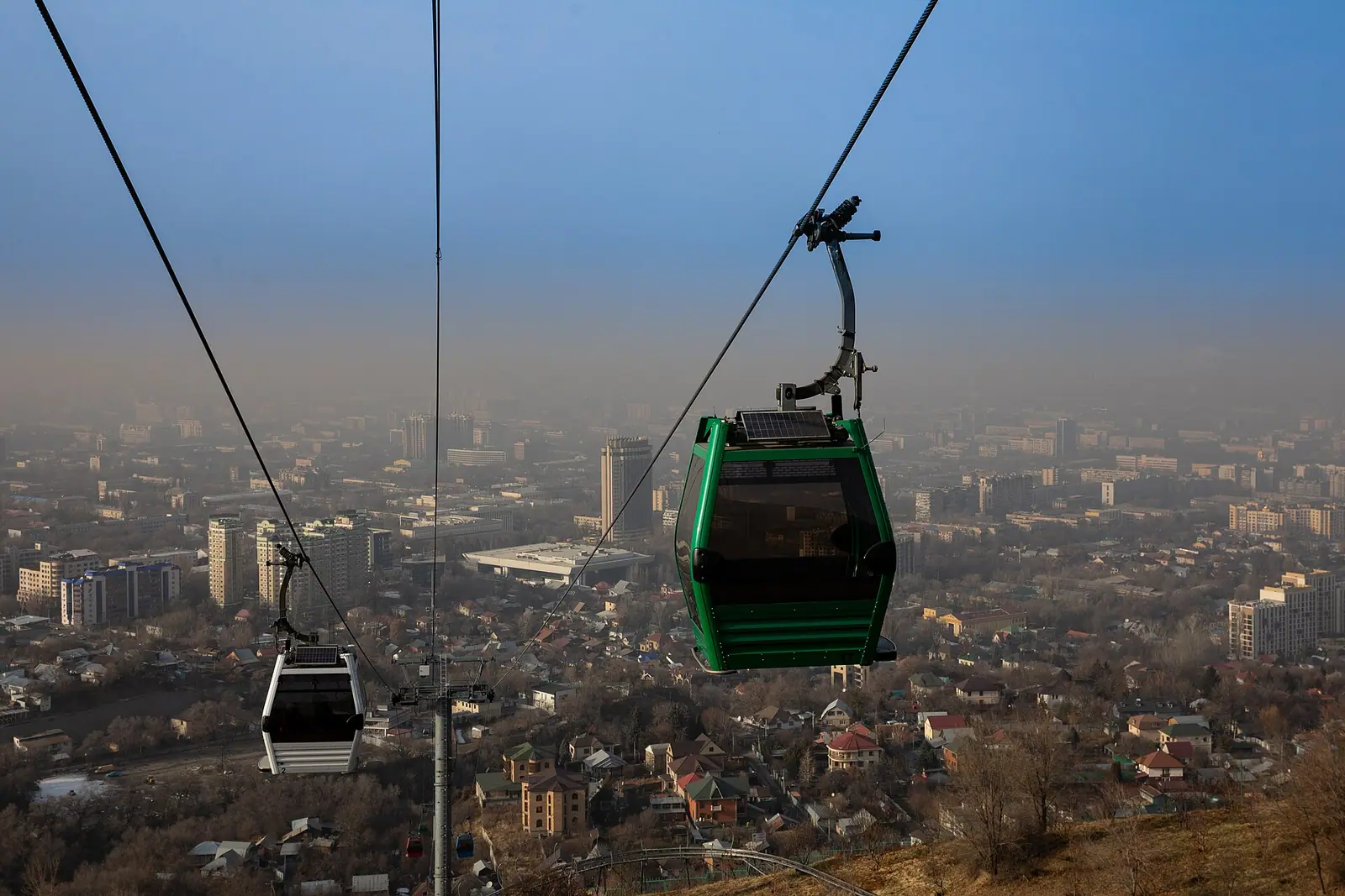
Real photos by travellers (Pexels, Unsplash, Wikimedia Commons); author and licence are given in each caption.
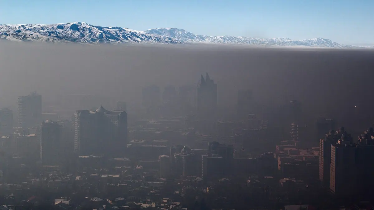
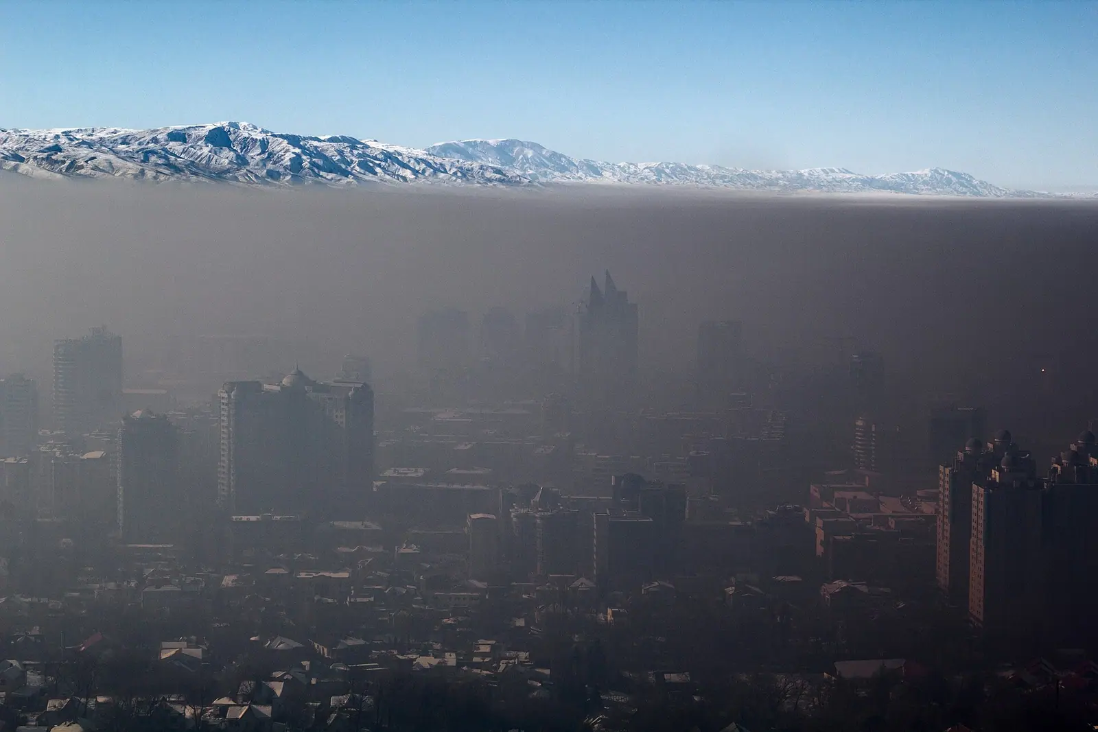
Almaty’s air is dirtiest from November to February. In the CAMS atmospheric model, January PM2.5 averages 38.6 µg/m³ and August 13, a threefold gap. Snow is steadier than people think: about 16 days a winter bring at least 1 cm of new snow, with no clear change over 25 winters. Hard frost is what has changed. Days dropping to −15 °C or lower have halved.
CAMS via Open-Meteo, charyn.kz calculation
How to read it: these are modelled values for the grid cell that covers the city, averaged over three full years. The WHO guideline for the annual mean is 5 µg/m³, so even the cleanest month sits 2.6 times above it. City sensors read higher than the model (details below). For temperatures and rain month by month, see Almaty weather by month. This page covers air, snow and frost only.
Almaty air pollution by month
Winter air is worse than summer air every year, but by how much varies a lot. January was 52.2 µg/m³ in 2023, 25.8 in 2024 and 37.7 in 2025. August stayed between 11.3 and 14.0.
| Month | PM2.5, µg/m³ | Days above 15 | Days above 35 | Mixing layer, m | Days with layer under 300 m | Snowfall days | Days with snow on the ground |
|---|---|---|---|---|---|---|---|
| January | 38.6 | 30.3 | 14.7 | 88 | 74% | 4.4 | 21.6 |
| February | 35.4 | 28.0 | 14.3 | 130 | 67% | 3.9 | 17.4 |
| March | 27.8 | 27.7 | 8.3 | 355 | 31% | 1.7 | 4.7 |
| April | 21.9 | 24.7 | 2.7 | 810 | 2% | 0.3 | 0.3 |
| May | 17.4 | 17.7 | 0.7 | 1060 | 0 | 0 | 0 |
| June | 16.0 | 17.0 | 0.3 | 1340 | 0 | 0 | 0 |
| July | 14.1 | 11.3 | 0 | 1410 | 0 | 0 | 0 |
| August | 13.0 | 8.0 | 0 | 1360 | 0 | 0 | 0 |
| September | 14.6 | 12.7 | 0 | 1068 | 0 | 0 | 0 |
| October | 17.7 | 21.0 | 0 | 670 | 5% | 0.2 | 0.4 |
| November | 23.7 | 27.7 | 0 | 200 | 72% | 1.8 | 5.2 |
| December | 32.1 | 30.3 | 10.3 | 95 | 94% | 3.7 | 18.7 |
PM2.5 and exceedance days come from daily CAMS means, averaged per year over 2023–2025. Mixing layer from ERA5 (Aug 2022 – Oct 2026). Snowfall from ERA5 over 25 winters. Snow on the ground from the Almaty weather station, 2011–2025. The pattern to take away: the months with the dirtiest air are the months when the mixing layer is lowest.
Across a year the model counts about 256 days above the WHO 24-hour guideline of 15 µg/m³, which is 70% of all days. About 51 days go above 35 µg/m³, three-quarters of them between December and February. The worst winter in the series was 2022/23, with a November–March mean of 42.2 µg/m³ and 37 days above 50.
The worst hours: evenings in winter
In winter, evenings are worst: the model gives 44–48 µg/m³ from 6 to 10 pm and about 22 around 5 am. A second, smaller peak comes at 9–10 am.
CAMS via Open-Meteo, Aug 2022 – Oct 2026, charyn.kz calculation
Summer has no such swing: June to August hourly values stay between 13.4 and 18.4 µg/m³. The Almaty Air Initiative sensor network names 7 to 9 pm as the most hazardous time for walks and runs (Informburo, January 2026), which matches the model. If you visit in winter, plan long outdoor walks for the middle of the day and keep evenings indoors.
Why winter: a lid about 100 metres high
The mixing layer is the lowest part of the atmosphere, where emissions spread upwards. Over Almaty its daily maximum has a median of 1,410 m in July and 88 m in January, 16 times lower. In December, 94% of days never see the layer rise above 300 m.
ERA5 via Open-Meteo, Aug 2022 – Oct 2026, charyn.kz calculation
In winter, anything released near the ground spreads through a layer 10 to 15 times thinner than in summer. Within winter the link is weaker, because nearly all days are “low”: PM2.5 differs by about 8 µg/m³ between the days with the lowest and the highest layer. We did not analyse pollution sources.
Sensors, Kazhydromet and the model disagree
The CAMS model reads lower than city sensors, and the gap widens on bad days. For monthly and annual means it gives 60–80% of the Almaty Air Initiative values. On the worst day of 2025 it showed less than a fifth.
| Measure | Almaty Air Initiative sensors | CAMS model | Model as share of sensors |
|---|---|---|---|
| 2024 average | 24.1 | 19.4 | 80% |
| 2025 average | 31.2 | 23.8 | 76% |
| December 2025 | 62.4 | 37.5 | 60% |
| 7 December 2025, worst sensor day of the year | 145 | 26.8 | 18% |
| 6 February 2024, worst sensor day of the year | 114 | 23.9 | 21% |
PM2.5 in µg/m³. Sensor values are from Informburo articles of 18 February 2025 and 29 January 2026; we did not open the fund’s own report. The model works for the seasonal shape and the hours of the day. It does not tell you what a given day will be like.
The official picture is different again. Kazhydromet, the state weather and environment service, reported that Almaty’s air pollution index fell 31% in 2025 to 4, a “low” level, and that annual PM2.5 dropped 35.9% (via Bes.media, 31 March 2026). The Almaty Air Initiative reports roughly 30% growth on 2024 and gaps of up to 27 times between state posts and its own sensors in some cases. CAMS shows a 23% rise. The model agrees with the sensors on direction, but we cannot check which network is more accurate.
Snow in Almaty: about 16 snowfall days a winter
Snow of 1 cm or more falls on about 16 days a winter and lies on the ground for about 68. Winters differ a lot: 8 snowfall days in 2025/26, 33 in 2016/17.
ERA5 (models=era5) via Open-Meteo, charyn.kz calculation
Total snowfall averages 52 cm per winter, from 28 cm in 2021/22 to 97 cm in 2016/17. The median first snowfall of 1 cm or more is on 16 November. January sees the most snowfall days (4.4), then February (3.9) and December (3.7). At the Almaty station, snow cover of at least 1 cm was recorded on 53 to 85 days a winter between 2011/12 and 2024/25, with the deepest snow each winter between 13 and 48 cm.
Has snow declined? Not much. Splitting the series into the first and last 12 winters gives 16.6 and 15.2 snowfall days, 53.9 and 49.2 cm of snow. Against the 8-to-33-day spread between winters, that is small. The station recorded its snowiest season of the period, 85 days of cover, in 2024/25.
One technical warning for anyone reusing this kind of data: the Open-Meteo archive without an explicit model splices ERA5 with ECMWF’s operational IFS model after 2017, and that series shows a sharp, false drop in snow days. Every calculation here uses the consistent ERA5 series.
Cold: fewer hard frosts
Hard frost has weakened more clearly than snow. Days with a minimum of −15 °C or lower averaged 7.7 per winter in the first 12 winters and 3.2 in the last 12. A minimum of −20 °C comes about once a winter on average, and 14 of 25 winters had none.
| Measure | 2001/02–2012/13 | 2014/15–2025/26 | Change |
|---|---|---|---|
| Days with 1 cm+ snowfall | 16.6 | 15.2 | −1.4 |
| Snowfall per winter, cm | 53.9 | 49.2 | −4.7 |
| Days down to −15 °C | 7.7 | 3.2 | −4.5 |
| First snowfall, average date | 22 November | 11 November | 11 days earlier |
ERA5 for the Almaty grid cell. The middle winter, 2013/14, is left out of both halves.
Ordinary frost is still routine: about 114 nights below zero a winter and about 35 days that stay below zero all day. The coldest ERA5 value is −24.3 °C in winter 2017/18; the station recorded −27.8 °C on 28 January 2018, so the model smooths extremes by a few degrees.
What this means for a winter trip
Hard frost is rare in the city, while polluted air lasts all winter. Three practical points follow.
- Month. November and March bring snow to the mountains with noticeably cleaner city air than December–February: modelled PM2.5 of 24–28 against 32–39 µg/m³.
- Time of day. Walk the city between 11 am and 4 pm. Spend the 6–10 pm peak indoors.
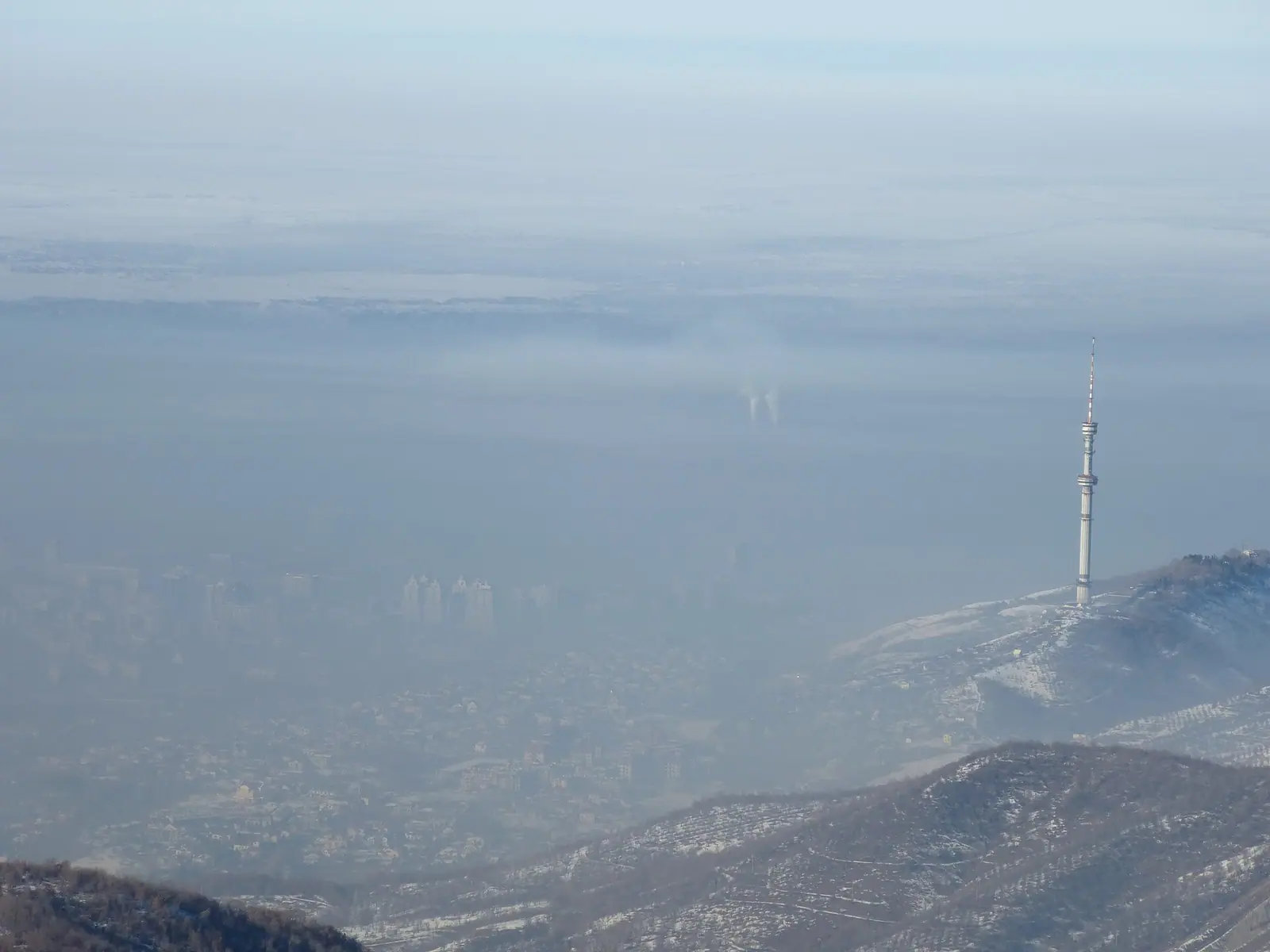
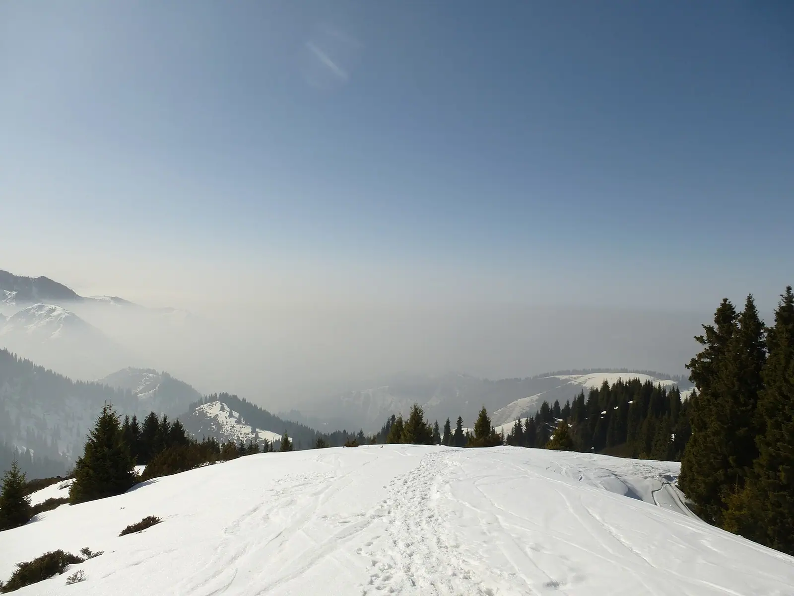
- Altitude. Winter smog sits in a thin layer low in the basin. Days at Shymbulak, the Medeu rink or Kok-Tobe take you out of the lower city, though we found no air measurements at those heights.
What to do in and around the city in winter is in Almaty in winter. How long the ski season lasts is covered in ski season in Kazakhstan. Before going off-piste, read winter in the mountains.
A foreign visitor’s three weeks in the city in winter, published in February 2025. It is a personal travel vlog, not a data source.
How we calculated
Air. Hourly PM2.5, PM10 and NO₂ from the CAMS model through the Open-Meteo Air Quality API, grid cell 43.2°N 76.9°E, 4 August 2022 to 31 October 2026: 37,272 hours, 77 missing. Daily means need at least 20 hours. Monthly means and exceedance days use the three full years 2023–2025. Hours are local time (Kazakhstan moved to UTC+5 on 1 March 2024, which the time-zone database reflects).
Mixing layer. ERA5 boundary_layer_height, hourly, Aug 2022 – Oct 2026; daily maximum, then the monthly median.
Snow and frost. Daily snowfall and minimum temperature from ERA5 with an explicit models=era5, point 43.24°N 76.95°E, 1 July 2001 to 30 June 2026. Winters run July to June, giving 25 winters. Open-Meteo adjusts temperature to an elevation of 873 m; snowfall refers to the 0.25° grid cell, which includes foothills. Snow on the ground comes from daily reports of Almaty station 36870 in NOAA GSOD, counting days with 1 cm or more.
Search interest was measured separately. Ubersuggest on 9 November 2026: almaty snow 590 searches a month worldwide (peak 1,300 in December), kazakhstan in winter 2,400, almaty air pollution 110.
Scripts and raw API responses are kept with the project and the calculation reruns with one command. The full result is in the CSV file.
What we don’t know
How to cite
Link to this page and name the data: “charyn.kz, from CAMS and ERA5 (Open-Meteo) and the Almaty station (NOAA GSOD), November 2026”. Credit sensor figures to the Almaty Air Initiative and the official assessment to Kazhydromet. Label modelled PM2.5 as modelled, not measured. Licence CC BY 4.0.
Frequently asked questions
Does Almaty have an air pollution problem?
What time of day is the air worst in Almaty?
Does it snow in Almaty?
When is the first snow in Almaty?
How cold does Almaty get in winter?
Is the air cleaner in the mountains above Almaty?
Can I download the data?
Sources
- Open-Meteo Air Quality API: CAMS hourly PM2.5, PM10, NO₂, Almaty, Aug 2022 – Oct 2026
- Open-Meteo Historical Weather API: ERA5 (models=era5), Almaty, Jul 2001 – Jun 2026
- NOAA NCEI, Global Summary of the Day: Almaty station 36870, 2001–2025
- WHO global air quality guidelines, 22 September 2021
- IQAir: New WHO air quality guidelines (PM2.5 values of 5 and 15 µg/m³)
- Informburo, 29 Jan 2026: 2025 results from the Almaty Air Initiative network (Russian)
- Informburo, 18 Feb 2025: Almaty PM2.5 in 2024 from Clarity sensors (Russian)
- Bes.media, 31 Mar 2026: Kazhydromet's 2025 assessment and the independent network (Russian)
- Ubersuggest: keyword overview, 9 Nov 2026
Read also
 Direct flights to Kazakhstan: where they come from and how long they take
 Earthquakes in Almaty: 50 years of seismic data around the city
 Hotel occupancy in Kazakhstan by region and resort area, 2025–2026
 How foreign visitors spend money in Kazakhstan: survey data by country
 Kazakhstan vs Uzbekistan vs Kyrgyzstan: a data comparison for travellers
 Mangystau month by month: heat, wind and when people go