Lake Zhasybay: when to go, month by month
- January: off season
- February: off season
- March: off season
- April: possible
- May: good
- June: best time
- July: best time
- August: best time
- September: good
- October: possible
- November: off season
- December: off season
Only June to August bring daytime highs in the mid-20s °C for swimming, May and September suit walks, and winter highs stay below freezing.
Lake Zhasybay: why go
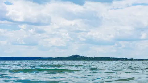
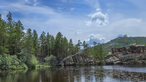
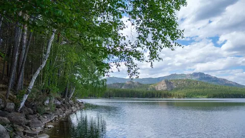
Clear water of Lake Zhasybay
The clearest lake in Bayanaul National Park and its second largest after Sabyndykol, 14.7 m at its deepest, with clarity of 0.5–3 m.
Zhasybay batyr and the old name
Once called Shoyynkol, the cast-iron lake, it was renamed after a warrior who died fighting the Dzungars here in 1752; a pass also bears his name.
A long road into the steppe hills
About 189 km from Pavlodar and 291 km from Astana in a straight line, with no public transport we could confirm. Plan transport in advance.
Zhasybay's short summer
July highs average about 25 °C and lows about 15 °C, but it is also the wettest month, with over 80 mm of precipitation in the computed normals.
Swans and cranes at Zhasybay
Kazakh Wikipedia counts about 50 bird species around the lake, including geese, ducks, cranes and swans, alongside pike, perch and tench in the water.
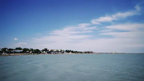
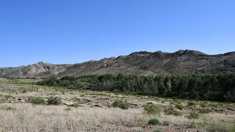
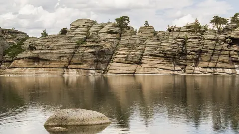
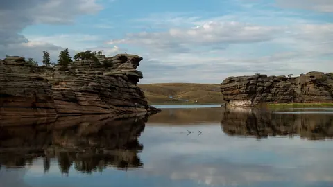
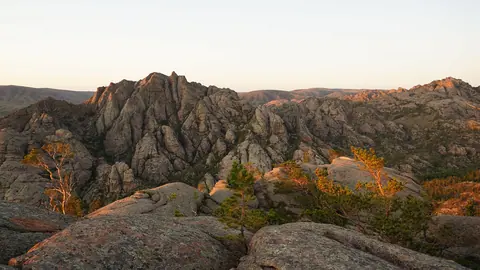
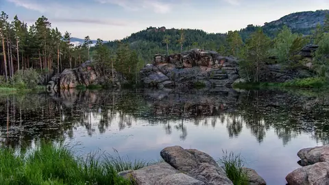
Lake Zhasybay in photos
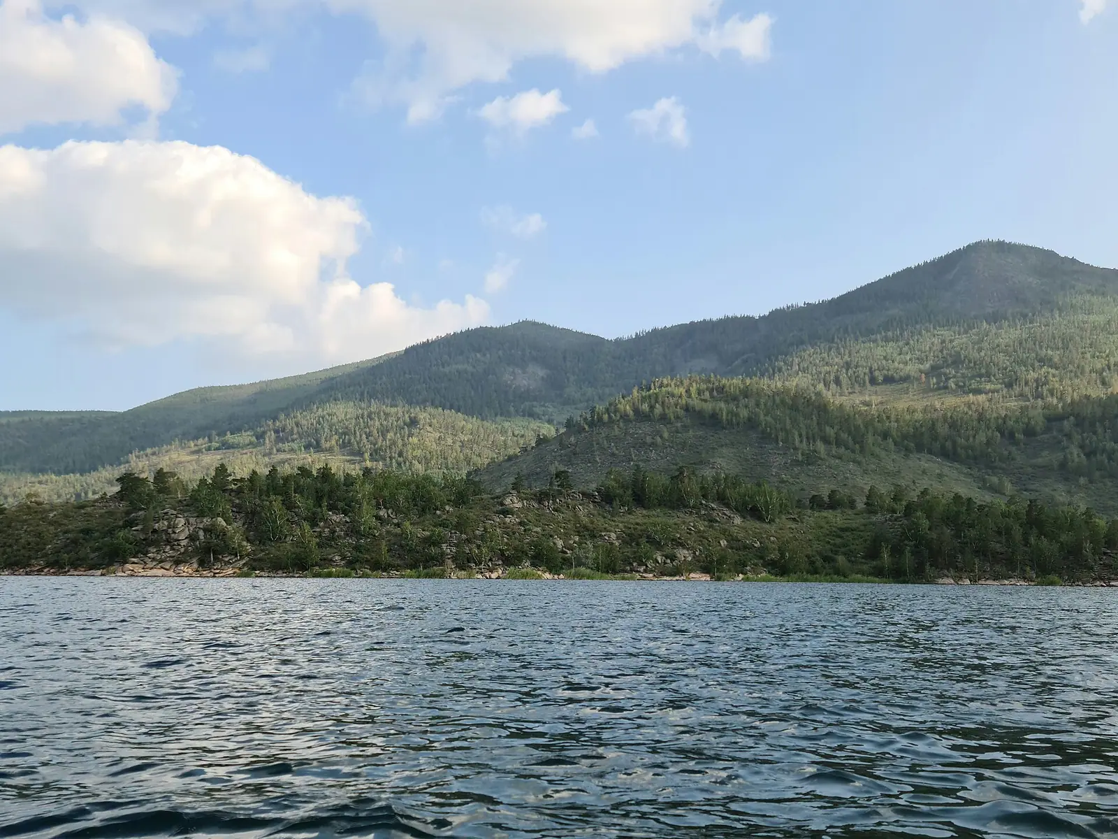
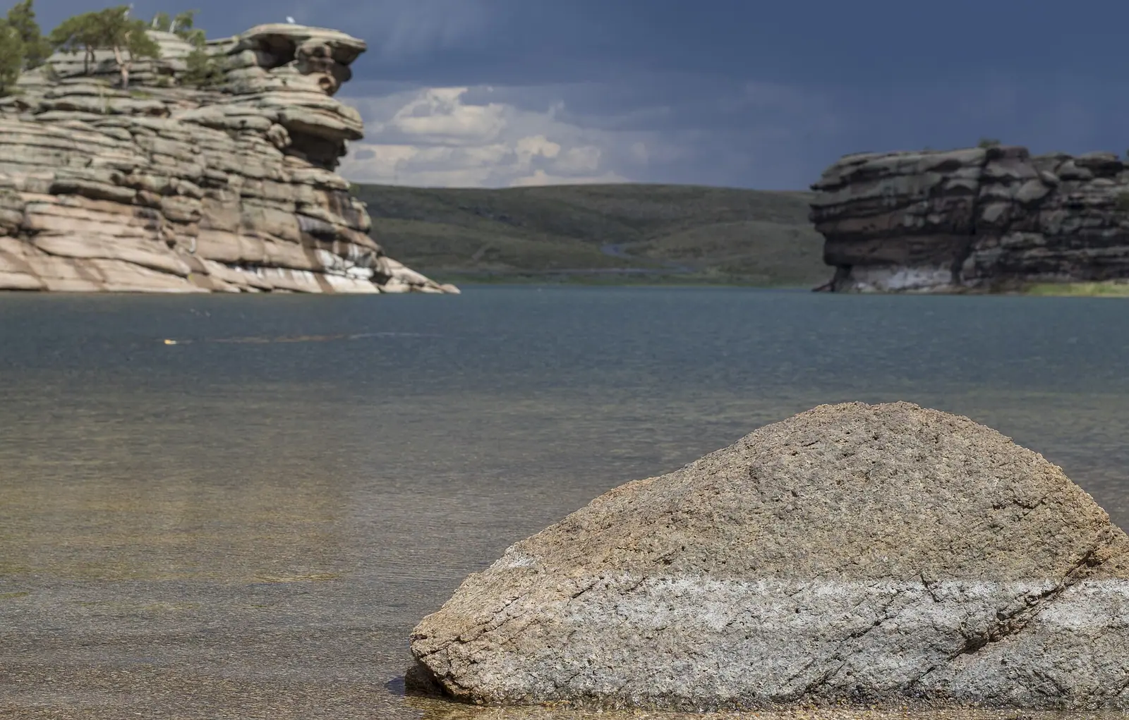
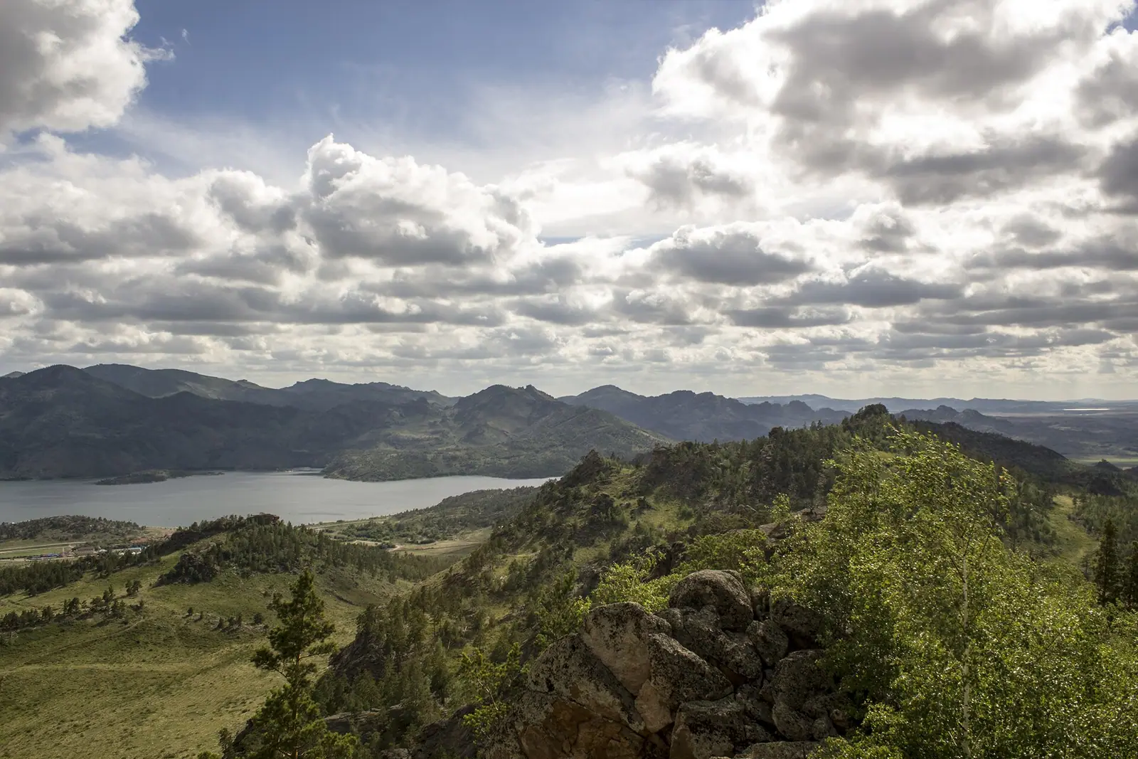
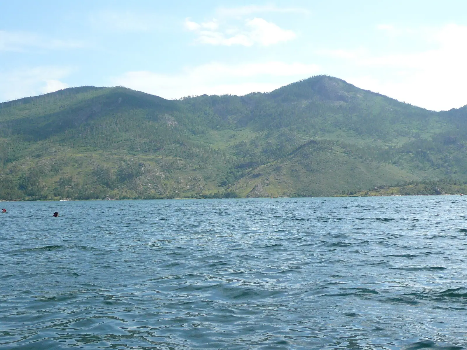
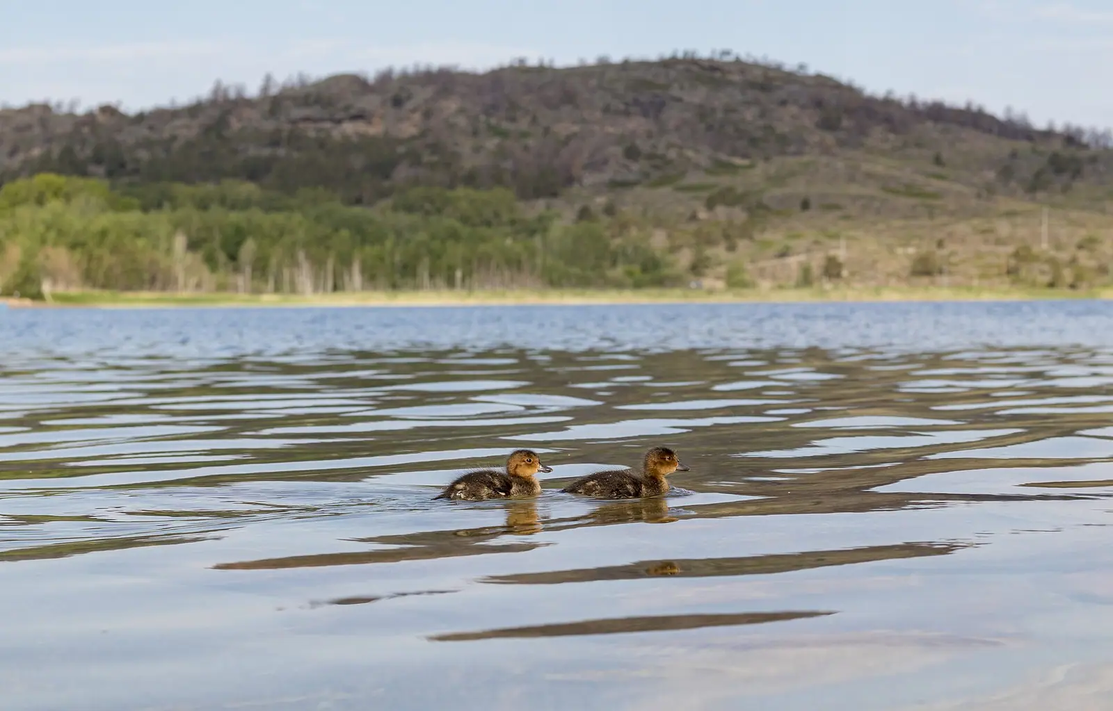
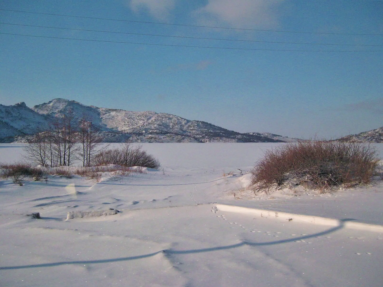
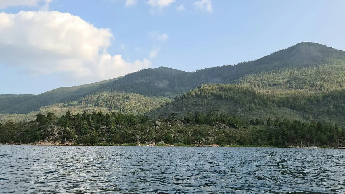
Real photos by travellers (Pexels, Unsplash, Wikimedia Commons); author and licence are given in each caption.
Lake Zhasybay (also spelled Jasybay or Zhasybai) is a freshwater lake in the Bayanaul hills of Pavlodar Region, inside Bayanaul National Park, in north-east Kazakhstan. English Wikipedia describes it as a popular tourist destination for people from central and northern Kazakhstan because of its clear water and beaches. It sits well away from the usual tourist circuit, so it suits travellers who want a lake-and-hills stay in the steppe rather than a quick sightseeing stop.
Where Lake Zhasybay is and what kind of trip it takes
Zhasybay lies in the middle of the Bayanaul range, in Bayanaul District of Pavlodar Region. Russian Wikipedia puts it about 230 km south-west of Pavlodar, the regional capital, between the villages of Toraygyr and Bayanaul. The nearest large cities are all a long way off. Plan an overnight trip at minimum, not a day out.
| From | Straight-line distance |
|---|---|
| Pavlodar | about 189 km |
| Karaganda | about 209 km |
| Astana | about 291 km |
| Semey | about 330 km |
These are straight-line figures; the road distance will be longer, and we could not confirm it. For a visitor without a car and without Russian or Kazakh, the hard part is the last stretch: we could not confirm any bus or shared-taxi service to the lake, so plan on arranging transport before you commit, from Pavlodar, Karaganda or Astana.
The lake in numbers
Zhasybay is small but deep for the steppe, and the sources agree on its size. It is a closed (endorheic) lake of tectonic origin, the clearest in Bayanaul National Park and the second largest there after Sabyndykol.
| Feature | Figure |
|---|---|
| Length | 3.5 km |
| Maximum width | 2.4 km |
| Maximum depth | 14.7 m |
| Area | about 4 km² |
| Water volume | about 25 million m³ |
| Catchment | 31.2 km² |
| Elevation | 397 m |
| Water clarity | 0.5–3 m |
| Peaks above the shores | Akbet 1,022 m (north-east), Ogolek 958 m (south-west) |
One figure disagrees: Russian and English Wikipedia place the lake 6 km from Bayanaul village, while Kazakh Wikipedia gives 15 km. Check this on a map before you book a room in the village and plan to walk. The shores are mostly high and rocky, though the north-western part is flat.
Zhasybay batyr and the lake’s old name
The lake was once called Shoyynkol, Kazakh for “cast-iron lake”, and was renamed after Zhasybay batyr, a warrior who died here in 1752 fighting Dzungar invaders. Russian Wikipedia calls him the nephew of the standard-bearer of Abylai Khan and says he fell on the pass between the lakes. That pass, between Zhasybay and Bayanaul village, also carries his name, and local tradition holds that he was buried there.
The sources differ on detail. English Wikipedia says he was killed on the lake shore, and Kazakh Wikipedia mentions his grave on the shore and describes the basin of Zhasybay, Sabyndykol and Toraygyr as one of the places where Kazakh forces under his command turned back the enemy. If you visit the grave, treat it as a place of remembrance.
When to go: June to August, with summer rain
The lake is a summer place: only June, July and August bring days in the mid-20s °C, and winters are long and hard. The figures below are computed normals from the ERA5 reanalysis for 2011–2020 at a grid point at 395 m, almost the lake’s own elevation, not readings from a weather station.
Day high, °C / Night low, °C · Rain/snow, mm
A computed reanalysis normal for these coordinates, not weather station records.
Monthly figures
| Month | Day high, °C | Night low, °C | Rain/snow, mm |
|---|---|---|---|
| Jan | -10.4 | -18.5 | 6.6 |
| Feb | -8.4 | -17.4 | 12.2 |
| Mar | 0.5 | -8.6 | 22.3 |
| Apr | 14.3 | 1.9 | 25.8 |
| May | 19.7 | 6.3 | 28 |
| Jun | 24.7 | 12.9 | 58.3 |
| Jul | 25.6 | 14.3 | 84.8 |
| Aug | 24.5 | 12.1 | 50.2 |
| Sep | 18.1 | 5.9 | 29.7 |
| Oct | 9.4 | 0.1 | 29.7 |
| Nov | -2.5 | -9.9 | 23.8 |
| Dec | -7.6 | -15.5 | 14.4 |
July averages a high of about 26 °C and a low of about 14 °C, with June and August close behind. May and September are mild by day (about 20 °C and 18 °C) but nights drop to around 6–6 °C, which is fine for walking in the hills and cool for swimming. From November to March daytime highs stay below freezing, and January nights average about −19 °C.
Summer is also the wettest time: July averages over 80 mm of precipitation, the most of any month, so expect some rainy days in peak season. If the grid point sits partly over water, the hottest afternoons on the open shore may run warmer than these numbers.
What you do at Zhasybay
The draw is clear water, beaches and the rocky hills around them; this is a place for swimming, sitting by the lake and walking, not for a list of sights. Kazakh Wikipedia notes holiday homes, a tourist base and children’s camps on the shore, so expect a lived-in resort lake rather than wilderness in July.
Anglers will find pike, perch, roach, crucian carp and tench, according to Russian Wikipedia, and Kazakh Wikipedia counts about 50 bird species, including geese and ducks, and also cranes and swans. Sabyndykol lies south of the range and Toraygyr north of it, so the other park lakes are close. We could not confirm the national park’s rules on fishing or swimming, nor those on entry.
If you are comparing lakes in the north, Zerenda near Kokshetau is another hill-and-pine lake, and Lake Balkhash is a very different, vast steppe lake. Both are hundreds of kilometres away, so they make separate trips, not add-ons.
- Public transport, if any, from Pavlodar, Karaganda or Astana to the lake, and actual road distances
- National park entry rules and fees, plus any permits for fishing
- Current accommodation on the shore and when it operates
- Whether the distance to Bayanaul village is 6 km or 15 km
- Water temperature and any swimming restrictions
Lake Zhasybay: tips before you go
- Check the distance to Bayanaul village on a map: sources give both 6 km and 15 km, which matters if you plan to walk.
- Pack a rain layer for July: it is the warmest month but averages over 80 mm of precipitation, the most of the year.
- In May or September bring warm clothes: days reach 18–19 °C but nights average only about 7–8 °C.
- Arrange transport from Pavlodar, Karaganda or Astana before you set out; we could not confirm any bus to the lake.
More to see nearby