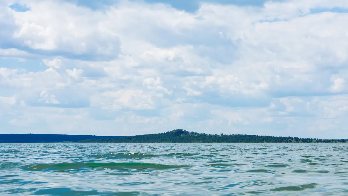
Lake Zerenda, a pine-ringed freshwater lake in northern Kazakhstan: when to go, month by month
- January: possible
- February: possible
- March: off season
- April: possible
- May: good
- June: best time
- July: best time
- August: best time
- September: good
- October: possible
- November: off season
- December: possible
Average highs are above 20 °C only from June to August, and winters average −11 °C by day, so summer is the lake season.
Lake Zerenda, a pine-ringed freshwater lake in northern Kazakhstan: why go
Lake Zerenda's clear fresh water
A shallow lake of roughly 10–12 km² with a flat sandy bottom, pebbles and boulders, and sandy beaches along much of the shore.
Pine forest of the Zerenda hills
Low hills with pine forest rise on the south side, where banks reach about 10 m and crags of 10–30 m appear in places.
Kokshetau as the base for Zerenda
The lake is about 44 km in a straight line from Kokshetau and about 254 km from Astana; transport links need checking locally.
A short summer at Zerenda
Average highs reach 22–23 °C only from June to August, and July brings about 102 mm of rain, the wettest month of the year.
The granite 'giant's beach'
On the north-east shore near the village, flat granite boulders 1–3 m across lie tilted about 20 degrees towards the lake.
Lake Zerenda, a pine-ringed freshwater lake in northern Kazakhstan in photos
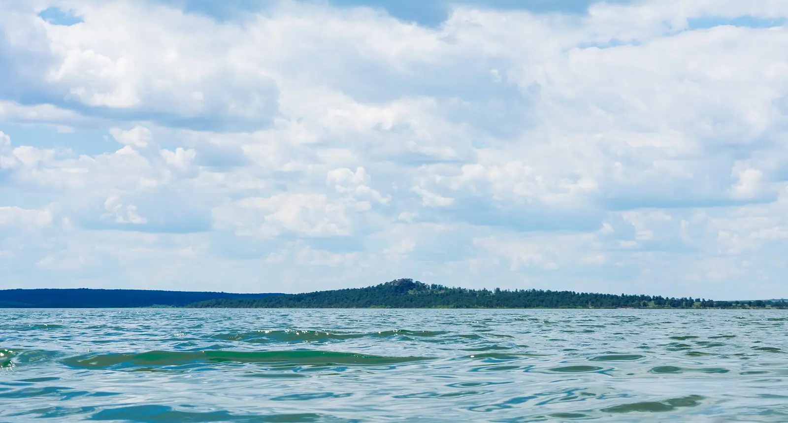
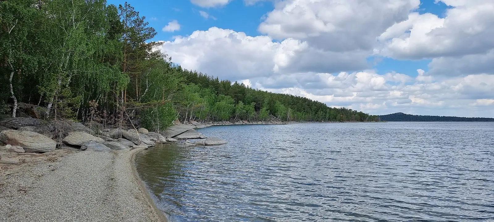
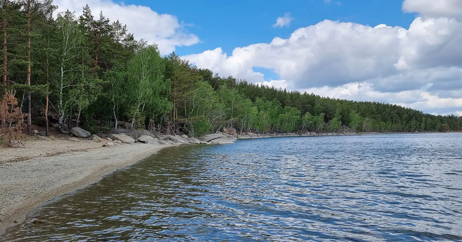
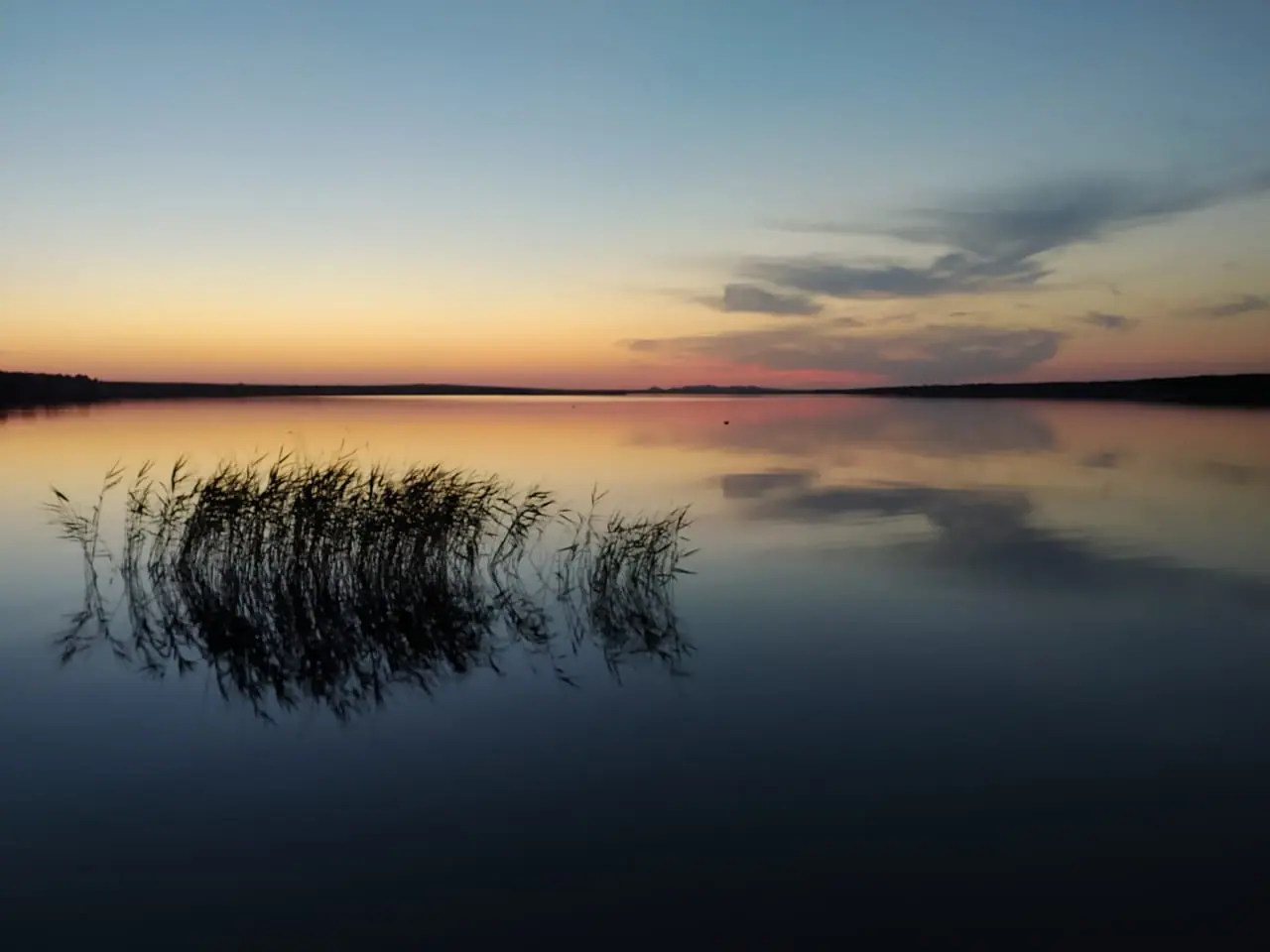
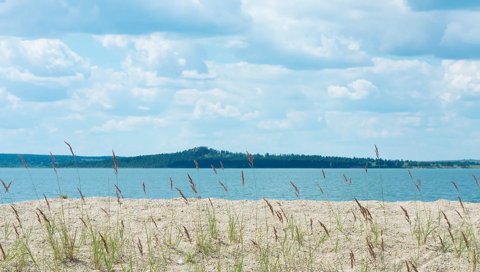
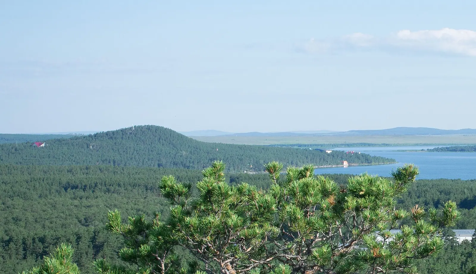
Real photos by travellers (Pexels, Unsplash, Wikimedia Commons); author and licence are given in each caption.
Lake Zerenda (also spelled Zerendi) is a small freshwater lake in Akmola Region of northern Kazakhstan, about 44 km in a straight line from the city of Kokshetau and about 254 km from Astana. It sits in the Kokshetau Hills, inside Kokshetau National Park, with the village of Zerenda on its shore and holiday homes along the south-west bank. It is a summer lake for swimming and forest walks, not a dramatic wilderness trip.
Where Lake Zerenda is and what kind of trip it is
Zerenda is in the north of the country, far from the mountain sights around Almaty. It belongs to the group of Kokshetau lakes and lies in the Ishim basin according to Russian Wikipedia, though Kazakh Wikipedia calls it a closed lake. The lake lies along the north-eastern slopes of the low Zerenda hills, which carry pine forest.
For a foreign visitor this is a domestic-style holiday spot: rest houses and summer camps line the south-western shore, and English Wikipedia simply calls it a tourist attraction. If your trip is built around Almaty, note that sights there such as Medeu or the Singing Dune in Altyn-Emel are roughly 1,200 km away in a straight line. Zerenda makes sense if you are already in Astana or Kokshetau, not as a side trip from the south.
Lake Zerenda in numbers: the sources disagree
The Russian and Kazakh Wikipedia articles give different sizes, so treat the lake as roughly 10–12 km² and 5–6 km long.
| Measure | Russian Wikipedia | Kazakh Wikipedia |
|---|---|---|
| Area | 9.61 km² | 11.9 km² |
| Length | 5.3 km | 6.1 km |
| Greatest width | 3.5 km | 3.8 km |
| Depth | mean 4.2 m, max 6.8 m | 4–4.8 m |
| Elevation | 371 m | not given |
Either way, this is a shallow lake: you will not find deep cold water here. That matters for the summer problems described below. Kazakh Wikipedia adds that a strip of reeds 100–150 m wide grows along the shore while the centre of the lake is open water.
Shores, pine forest and a granite ‘beach’
The lake bottom is flat and sandy, with pebbles and scattered boulders, and sandy beaches run along the shore. The water is fresh and clear; muskrats live in the lake.
The shores differ by side. The west bank is low, about 4 m, while the south and south-west rise to around 10 m, with Kazakh Wikipedia noting crags of 10–30 m in places and gullies cutting the south shore. The southern half of the shore carries pine and birch forest; much of the rest is farmland.
The detail most visitors will not expect is on the north-east shore near the village: granite outcrops made of flat boulders 1–3 m across, pressed against each other and tilted at about 20 degrees towards the water. From a distance they look like a giant’s beach.
When to go to Lake Zerenda
June to August are the only months with average highs above 20 °C, with July the warmest; the window for swimming is short.
Day high, °C / Night low, °C · Rain/snow, mm
A computed reanalysis normal for these coordinates, not weather station records.
Monthly figures
| Month | Day high, °C | Night low, °C | Rain/snow, mm |
|---|---|---|---|
| Jan | -12.1 | -19.6 | 15.2 |
| Feb | -10.2 | -18 | 11 |
| Mar | -2.1 | -10.4 | 22 |
| Apr | 10.5 | 0.4 | 35.6 |
| May | 18.5 | 5.8 | 42.7 |
| Jun | 22.5 | 10.9 | 46.8 |
| Jul | 23.4 | 12.8 | 101.3 |
| Aug | 22.7 | 11.1 | 50.8 |
| Sep | 16.3 | 5.5 | 36 |
| Oct | 7.1 | -1 | 38.1 |
| Nov | -4 | -10 | 21.8 |
| Dec | -9.8 | -16.7 | 19.5 |
These are computed ERA5 reanalysis normals for 2011–2020 at a grid point at 369 m, almost the lake’s own elevation. The grid point lies at the lake’s coordinates, so it may partly reflect the water; daytime heat on land around it is likely to be somewhat stronger. Average highs reach 22–23 °C from June to August, with nights of 11–13 °C. July is by far the wettest month at about 101 mm, roughly double June or August.
Winter is long and hard: average January highs of −12 °C and lows near −20 °C, and from November to March highs stay below freezing.
| Period | What to expect |
|---|---|
| June | Highs about 22 °C, nights about 12 °C, moderate rain |
| July | Warmest, about 23 °C, but the wettest month |
| August | Still about 22 °C, drier than July |
| September | Highs about 15 °C, cool for swimming |
| November–March | Frost all day on average |
If you want warmth with less rain, August looks like the better bet.
A lake that is getting shallower
The lake has become noticeably shallower over the past 50 years, according to a regional working meeting on its conservation held on 6 April 2012. The stated cause was the gradual loss of the springs that feed it, driven by a falling groundwater level.
The same meeting linked the shallowing to silting and overgrowth, to overheating and algal bloom in summer, and to a clear fall in fish numbers. For a visitor this means water quality in late summer can vary; we could not confirm the current state of the lake or any more recent measurements.
Getting to Zerenda
Kokshetau is the nearest of the cities listed here, about 44 km in a straight line; Astana is about 254 km and Petropavl about 216 km, also in a straight line. Road distances will be longer.
We could not confirm any bus or train connection, road condition or travel time to the lake, so plan on arranging transport from Kokshetau and checking it locally. Transport is the part of the trip we could not confirm.
Other lakes around Zerenda
Several other lakes of the Kokshetau Hills lie nearby; the straight-line distances below come from English Wikipedia.
| Lake | Direction | Distance |
|---|---|---|
| Aydabol | south | 15 km |
| Kumdykol | north | 18 km |
| Karaungir | east-south-east | 35 km |
| Imantau | west | 49 km |
If you have your own transport, combining Zerenda with one of these turns a beach stop into a short lake-hopping trip. We could not confirm road links between them.
- Public transport from Kokshetau or Astana to Zerenda, and road travel times
- Entry fees or visitor rules for Kokshetau National Park at the lake
- Current water quality and whether algal bloom still occurs in summer
- Whether holiday homes on the south-west shore take independent foreign guests
- Water temperature in summer, which the climate data does not cover
Lake Zerenda, a pine-ringed freshwater lake in northern Kazakhstan: tips before you go
- July averages about 102 mm of rain, the wettest month; August is drier at similar warmth, so lean towards August.
- Summer nights average 12–14 °C even in July, so bring a warm layer for evenings by the water.
- Shallowing has been linked to summer algal bloom; look at the water before swimming in late summer.
- Base yourself in Kokshetau, about 44 km away in a straight line, and sort out transport there before heading to the lake.
Frequently asked questions
How far is Zerenda from Astana?
How far is Zerenda from Kokshetau?
Can you swim in Lake Zerenda?
Is Lake Zerenda part of a national park?
What does the name Zerenda mean?
Sources
Read also
 Lake Imantau: swimming, the road from Kokshetau and what to check first
 Lake Shchuchye, the deepest of the Kokshetau lakes, and what a trip there involves
 Okzhetpes rock and Zhumbaktas: what we know before you plan a visit
- What to see in Akmola Region: lakes, steppe hills and a Gulag memorial
 Weekend trips from Astana: 5 places in nature
- Where to go from Kokshetau: four lakes nearby, and the capital further out