Ustyurt Plateau: when to go, month by month
- January: off season
- February: off season
- March: possible
- April: best time
- May: good
- June: possible
- July: off season
- August: possible
- September: good
- October: best time
- November: possible
- December: off season
April and October bring mild days around 19–21°C, while July and August average highs near 38°C and winter nights fall below freezing.
Ustyurt Plateau: why go
The western chink of Ustyurt
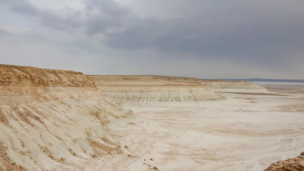
Sheer walls more than 200 m high ring the Kenderlisor depression on three sides, with towers layered in white, blue and red rock.
Ustyurt wildlife on camera
Ustyurt mouflon, jeyran, caracal and manul live here; in September 2021 camera traps recorded wolves, jackals and caracals.
Reaching Ustyurt from Aktau
The reserve office is in Aktau, more than 200 km from the protected land itself, which lies about 284 km from the city in a straight line.
Ustyurt in spring and autumn
April days average about 21°C and October about 19°C, against nearly 38°C in July at the computed low-lying grid point.
Ustyurt below sea level
The Kenderlisor depression drops to −52 m, while the escarpment above it reaches +340 m near the Kugusem well, a span of almost 400 m.
Ustyurt Plateau in photos
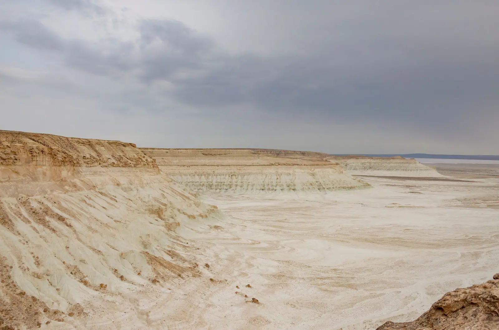
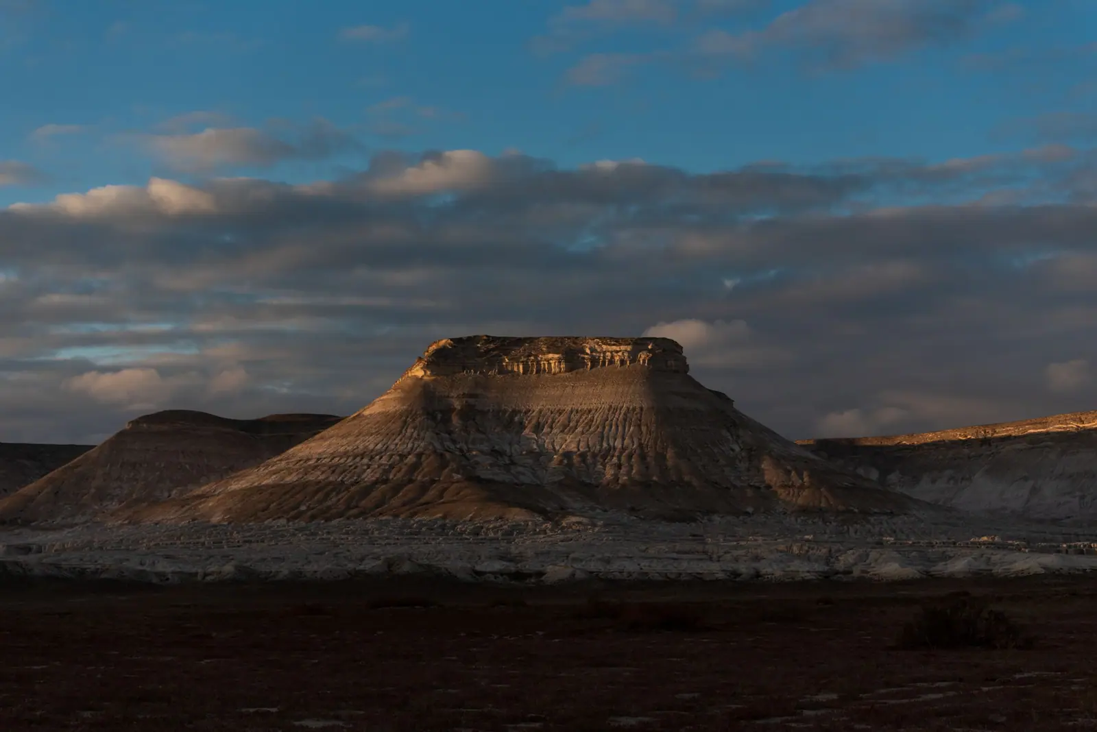
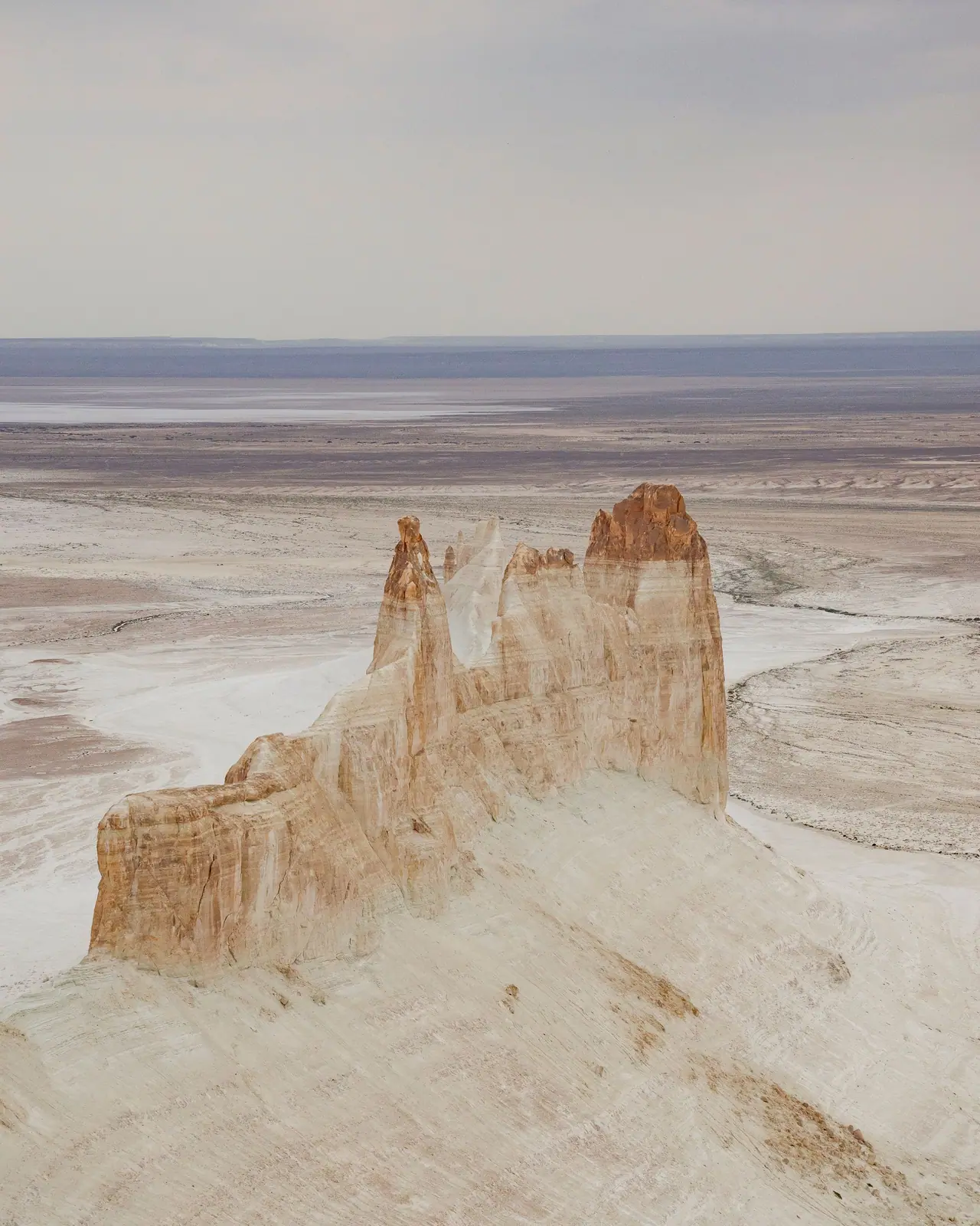
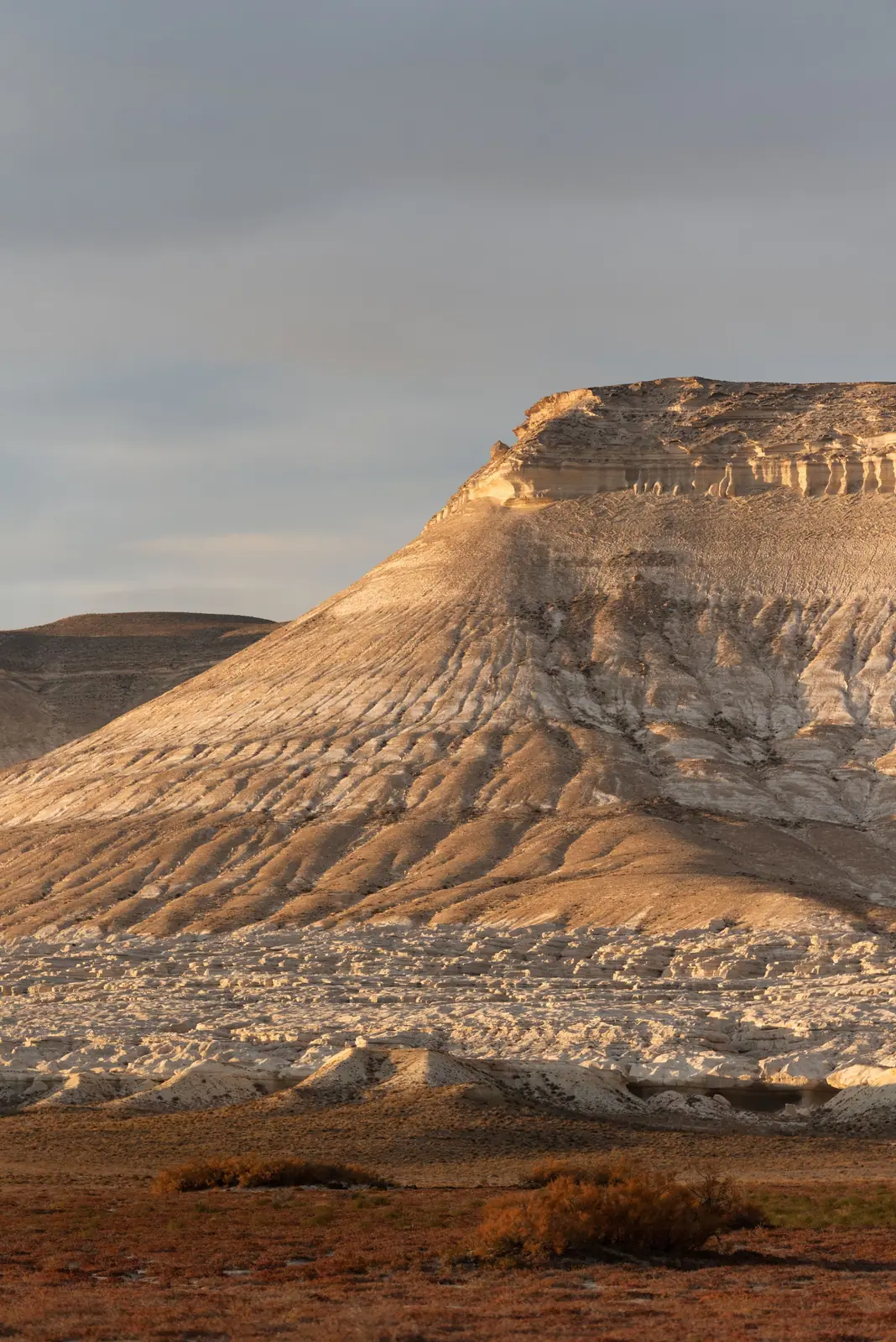
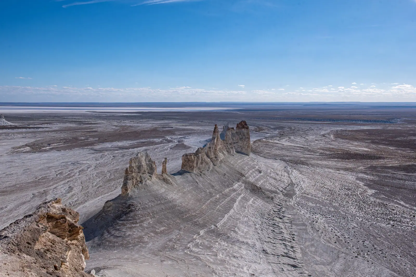
Real photos by travellers (Pexels, Unsplash, Wikimedia Commons); author and licence are given in each caption.
The Ustyurt plateau reaches into Kazakhstan’s Mangystau Region, and its western edge is protected as the Ustyurt Nature Reserve, set up on 12 July 1984. The draw is a desert escarpment with sheer walls over 200 m high, a salt depression below sea level and rare animals such as the Ustyurt mouflon and caracal. It is remote: the reserve lies about 284 km in a straight line from Aktau, the nearest city.
Where the Ustyurt Reserve is and what it protects
The reserve lies in Karakiya District of Mangystau Region, in the south-west corner of Kazakhstan, close to the Uzbek and Turkmen borders. It covers part of the western chink (the escarpment of the Ustyurt plateau), a narrow strip of plateau above it and the broad Kenderlisor depression below. Its stated purpose is to keep the northern desert ecosystems of Ustyurt, with their rare plants and animals, in a natural state.
The Kazakh Wikipedia describes it as the only nature reserve in western Kazakhstan and places it in the highest category of protected areas, split into strictly protected and buffer zones. That matters for planning: a reserve of this class is not an open park, and we could not confirm the rules for visitors.
| Key data | Value |
|---|---|
| Created | 12 July 1984 |
| Area | 223,000–223,342 ha (about 2,230 km²) |
| Region | Karakiya District, Mangystau Region |
| Elevation | mostly 50–300 m |
| Highest point | +340 m, western chink near the Kugusem well |
| Lowest point | −52 m, northern Kenderlisor |
| Administration | Aktau, more than 200 km from the reserve |
| Nearest city | Aktau, about 284 km in a straight line |
The area figures differ slightly between the English and Kazakh Wikipedia, but both put it at roughly 2,230 km². The gap between the office in Aktau and the protected land is the practical headline: contact and paperwork happen in one place, the desert is in another.
The landscape: escarpment walls, a salt pan and stone spheres
The main sight is the chink itself, a line of cliffs that encloses the Kenderlisor depression on three sides. The Kazakh Wikipedia describes knife-cut walls more than 200 m high, flat-topped and conical towers, and castle-like outcrops built from white, blue and red layers. The English Wikipedia mentions pillars in pale pink, blue and white.
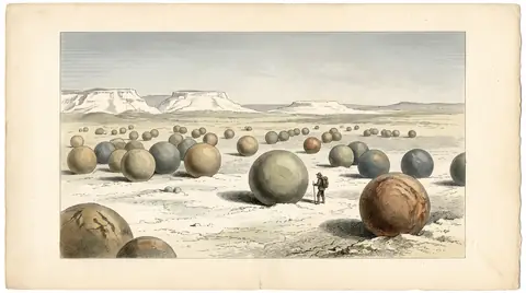
Kenderlisor runs the full length of the reserve from south-west to north-east and sinks to −52 m. Above it the plateau edge rises to +340 m, so the relief within one protected area spans almost 400 m. The Kazakh article also notes rock arches, small caves with double openings and sites scattered with round stones up to about 5 m across.
The ground was once sea floor. Remains of ancient animals (horny armour, bones, teeth) have been found here, along with tools used by early people. For a photographer the combination of colour bands, a flat white-and-grey floor and isolated towers is the reason to come.
History inside the reserve: Shakhr-i-Vazir and Neolithic sites
The reserve contains the ruins of an ancient city, Shakhr-i-Vazir, and dozens of Neolithic sites, according to the English Wikipedia. We could not confirm whether any of them are marked, signposted or open to visitors, so treat them as context rather than a planned stop.
The idea for a reserve on Ustyurt came in the 1960s and 1970s, when development of the western Kazakh deserts began. It was created by a resolution of the Council of Ministers of the Kazakh SSR in 1984.
Wildlife of Ustyurt: rare species and what the counts say
Ustyurt is one of the few places to find the Ustyurt mouflon, a wild sheep, together with the jeyran gazelle. Red-listed mammals named by the Russian Wikipedia include caracal, manul (Pallas’s cat), marbled polecat, sand cat and honey badger. The cheetah died out in Kazakhstan in the 1960s; the same source says the Persian leopard has appeared in its place. The English Wikipedia also lists the saiga antelope. In September 2021 camera traps recorded wolves, jackals, mountain rams and caracals.
Birds are a strong reason to visit: 111 species including migrants, with saker falcon, peregrine, Egyptian vulture, steppe eagle, golden eagle, eagle owl and houbara bustard among the red-listed ones. Flamingos are on the list too.
| Group | Russian Wikipedia | English Wikipedia |
|---|---|---|
| Plant species | about 263 (5 red-listed) | 250 |
| Mammals | 45 | about 44 |
| Birds | 111, incl. migrants | not given |
| Reptiles | 22 | not given |
| Amphibians | 1 (green toad) | not given |
The two sources disagree slightly on plant and mammal counts, but the picture is the same. Large animals in open desert are shy and widely spread, so a short visit gives no guarantee of sightings.
When to go: April and October, not high summer
The comfortable windows are April and late September to October; summer is hot enough to be a safety issue. The figures below are computed normals for 2011–2020 from the ERA5 reanalysis at a grid point lying at −46 m, close to the floor of the depression. The plateau rim stands up to roughly 390 m higher, so conditions on top can differ.
Day high, °C / Night low, °C · Rain/snow, mm
A computed reanalysis normal for these coordinates, not weather station records.
Monthly figures
| Month | Day high, °C | Night low, °C | Rain/snow, mm |
|---|---|---|---|
| Jan | 2.5 | -4.5 | 13.4 |
| Feb | 4.4 | -4.9 | 8.9 |
| Mar | 13.2 | 2 | 23.4 |
| Apr | 21.4 | 9 | 26.7 |
| May | 30.1 | 17.1 | 15 |
| Jun | 35.5 | 22 | 5.4 |
| Jul | 38.1 | 25 | 4.5 |
| Aug | 35.8 | 22.1 | 2.7 |
| Sep | 28.9 | 14.9 | 2.5 |
| Oct | 19.3 | 6.3 | 6.8 |
| Nov | 8.5 | -1 | 14.2 |
| Dec | 3 | -4.3 | 13.7 |
July averages a high of 38.1°C and nights around 25.0°C, with almost no rain; the English Wikipedia records summer peaks above 40°C and winter lows below −41°C. April (about 21°C by day, 9°C at night) and October (about 19°C and 6.3°C) are the mild months. May and September are already warm, near 29–30°C. Winter days stay just above freezing and nights fall to around −4°C.
| Period | Day / night (approx.) | What it means |
|---|---|---|
| Dec–Feb | 3–5°C / −4 to −5°C | Cold, short days, possible but bleak |
| Mar–Apr | 13–21°C / 2–9°C | Wettest stretch, about 25–27 mm a month; good walking |
| May–Jun | 30–35°C / 17–23°C | Heat builds fast |
| Jul–Aug | 35–38°C / 23–26°C | Extreme heat, no shade |
| Sep–Oct | 19–28°C / 8–16°C | Cooling down, with little rain; a good choice |
| Nov | 8°C / below 0°C | Cold nights return |
The desert is very dry all year. Wikipedia gives about 120 mm of annual precipitation; the computed normals add up to around 144 mm.
Getting there: a remote trip built around Aktau
Ustyurt is a serious expedition, not a day trip. Aktau, on the Caspian, is the regional city and home of the reserve administration, yet the protected area is more than 200 km from it by the reserve’s own description and about 284 km in a straight line. Road distances will be longer.
We could not confirm any public transport, road conditions, fuel or water points, mobile coverage or permit procedure. For a visitor without a car or Russian, that leaves the reserve administration in Aktau as the first contact. Plan for desert driving with full self-sufficiency and expect to need local arrangements.
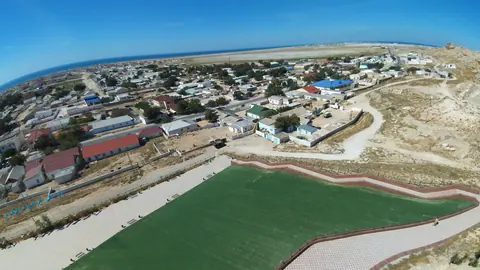
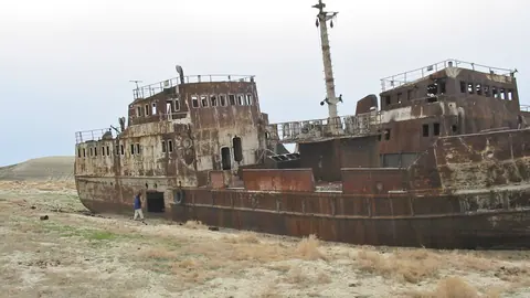
If you are already in Mangystau, the region’s other landscapes sit closer to Aktau. See Bozzhyra and the nature of Mangystau, Sherkala mountain and the Torysh Valley of Balls. Fort-Shevchenko on the coast is covered here.
- Whether visitors need a permit to enter the reserve and how to obtain it
- Road route, road condition and driving time from Aktau
- Any public transport, guides or organised access to the reserve
- Availability of water, fuel and mobile signal inside or near the reserve
- Whether Shakhr-i-Vazir and the Neolithic sites are accessible to visitors
Ustyurt Plateau: tips before you go
- Contact the reserve administration in Aktau first: the land is split into strictly protected and buffer zones.
- Avoid July and August: average highs are near 38°C and Wikipedia records peaks above 40°C in open desert.
- Carry water for the whole trip: rainfall is only about 120–144 mm a year and the reserve is over 200 km from Aktau.
- Pack warm layers even in autumn: October nights average 7.5°C and November nights drop below freezing.
More to see nearby


Frequently asked questions
Where is the Ustyurt plateau?
Is Ustyurt a national park?
Are Sherkala and the Valley of Balls inside the Ustyurt Reserve?
What is the weather like on Ustyurt?
What animals can you see in Ustyurt?
Sources
Read also
 Shakpak-Ata underground mosque: getting there and what to know
-
A Mangystau itinerary for 3 or 5 days, planned out from Aktau
- Trips from Aktau, Kazakhstan: the coast, the desert and the Mangystau hills
- Mangystau region: choosing between chalk cliffs, rock mosques and the Caspian coast
- Where to go on Kazakhstan's Caspian Sea coast, and when
-
Bozzhyra and the wild landscapes of Mangystau