Tuzbair salt flat: when to go, month by month
- January: off season
- February: off season
- March: off season
- April: good
- May: best time
- June: possible
- July: possible
- August: possible
- September: best time
- October: good
- November: off season
- December: off season
For Mangystau, mid-April to late May and late September are advised. The mirror depends on rain.
Tuzbair salt flat: why go
Tuzbair's mirror after rain
After rain the salt flat becomes a mirror lake several kilometres long, reflecting sky and cliffs. You cannot plan it in advance.
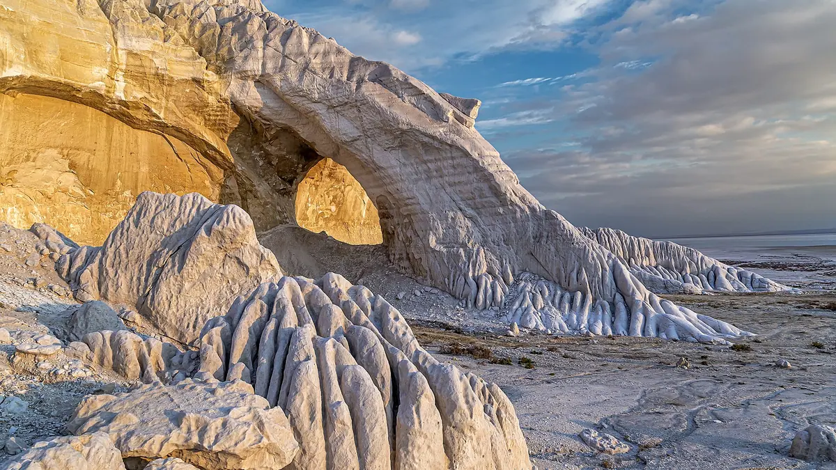
The stone arch
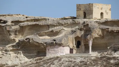
A natural vault left after cliffs collapsed, with oddly shaped rock flows beside it, carved by wind and water.
A viewpoint over the flat
A viewpoint about 8 km from the highway shows all of Tuzbair, so you can skip the salt if your vehicle is not prepared.
The risk of wet salt
Buses and machinery have got stuck after downpours at neighbouring Bozzhyra. Keep to the track and stay off wet salt.
Tuzbair salt flat in photos
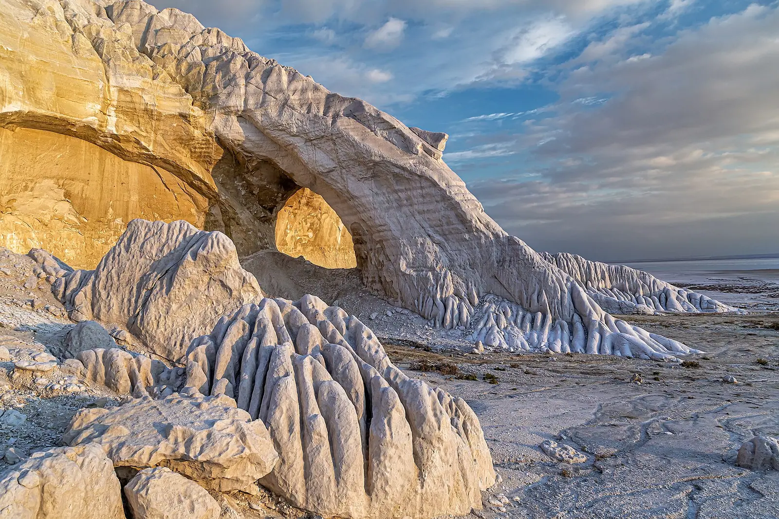
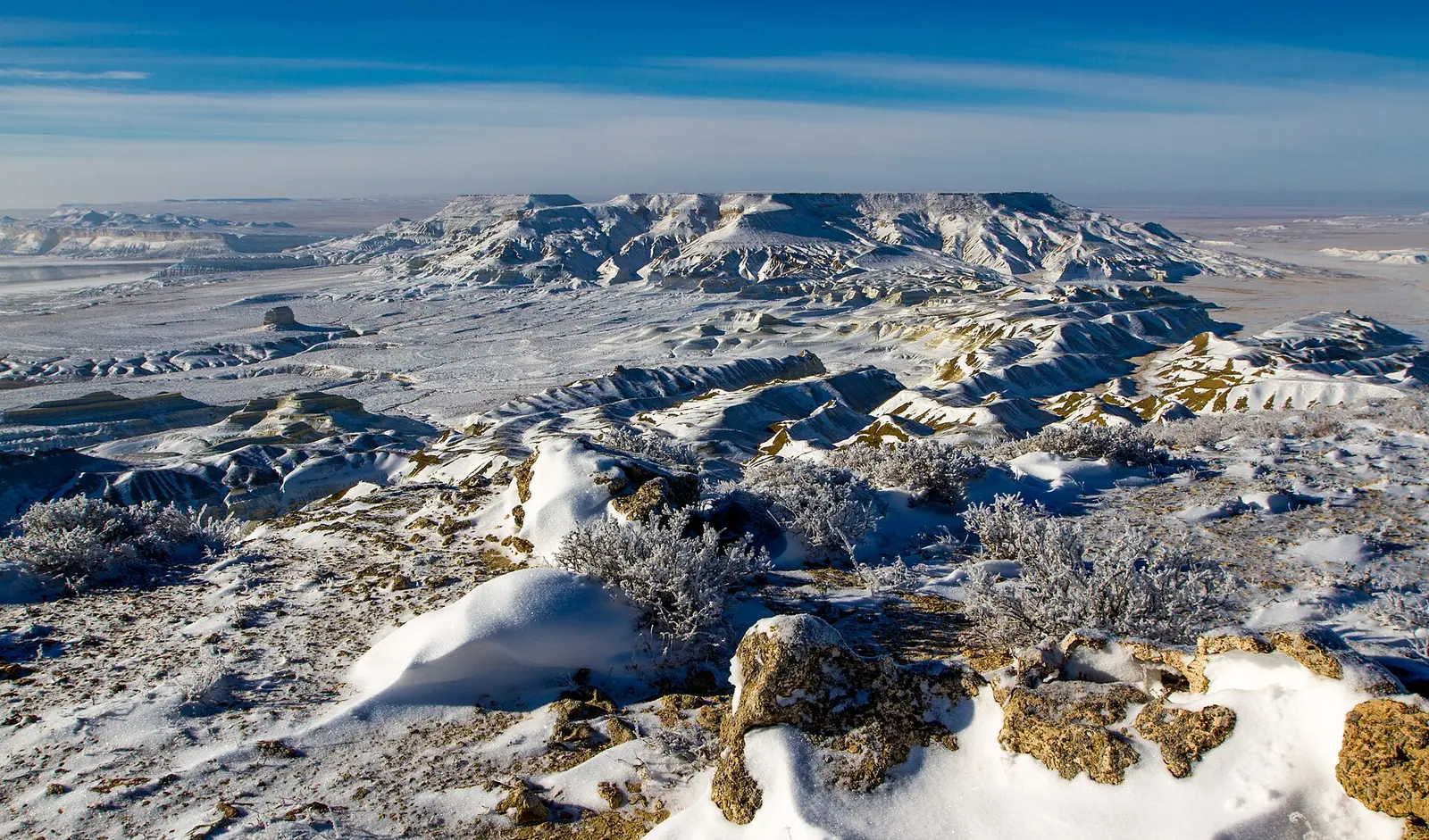
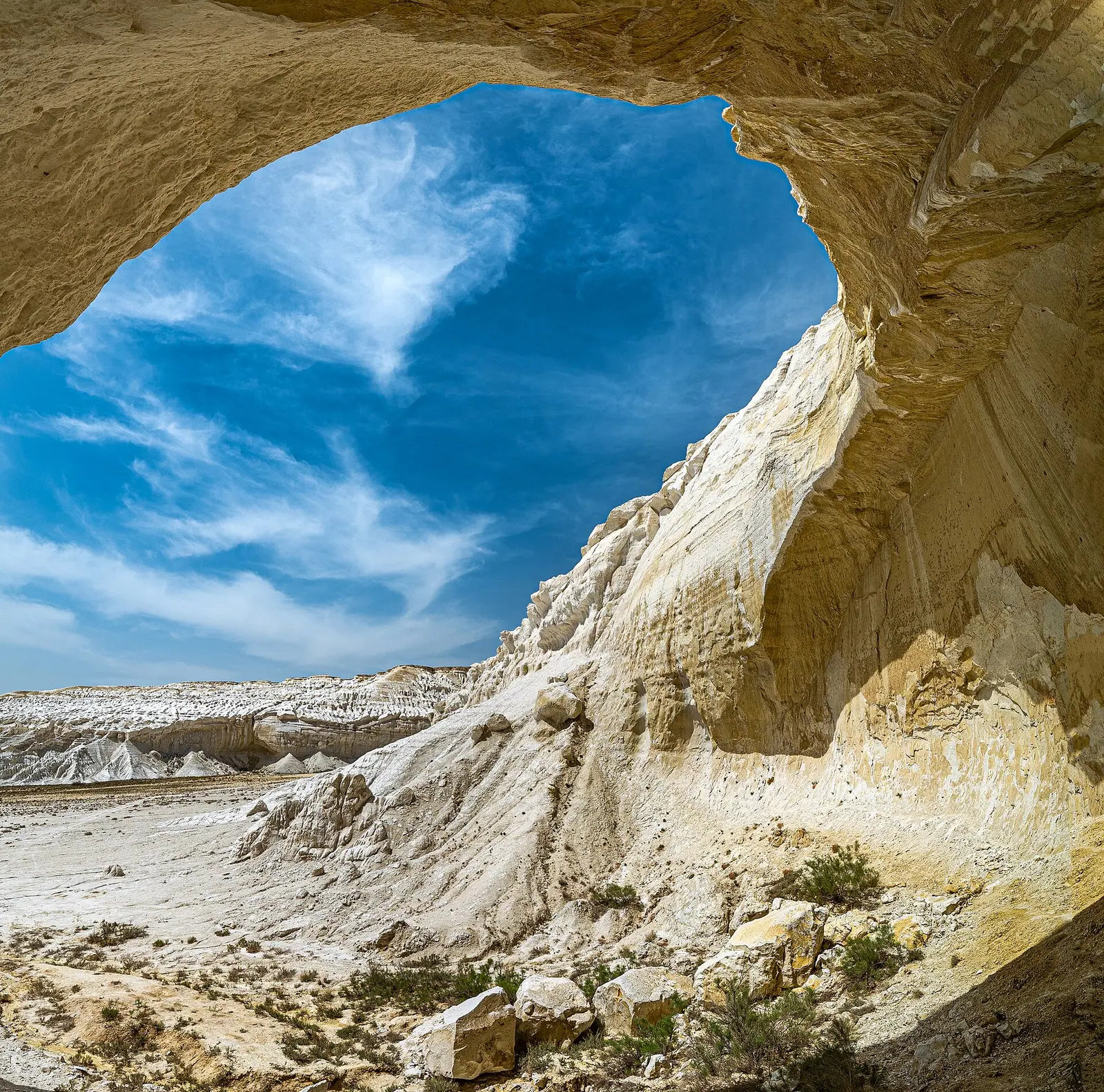
Real photos by travellers (Pexels, Unsplash, Wikimedia Commons); author and licence are given in each caption.
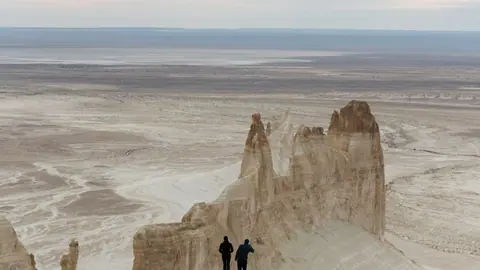
Tuzbair is a salt flat (sor) in Karakiya District, Mangystau: 15 km long, 4 km wide, walled by chalk cliffs up to 60 m (BES.media, 2025). It lies 230 km from Aktau by one count and 250–300 km by another, with the last 40 km on dirt. People come for the white cliffs and a stone arch, and after rain for a mirror of water that reflects both.
Facts for planning
| Fact | Value |
|---|---|
| Size | 15 × 4 km |
| Chalk cliffs | up to 60 m |
| From Aktau | 230 km (BES.media); 250–300 km (ministry) |
| Dirt track off the A-33 | about 40 km |
| Viewpoint | about 8 km from the highway |
Budget fuel for the higher figure, since stations exist only in Aktau, Zhanaozen and Shetpe.
What to see
The arch is a natural vault left by collapsing cliffs, with wind-carved rock flows beside it. A viewpoint takes in the whole basin without going down to the salt, which is enough if your vehicle is not prepared. On clear days mirages appear over the flat.
The mirror has a price
The water photographers want is also the main risk. Kyzylsay park has reported buses and machinery stuck after downpours at neighbouring Bozzhyra. You cannot judge wet salt from the driver’s seat. Stay on the existing track, shoot from the edge, and travel with a second vehicle if you can. If you are not driving yourself, hire a 4x4 with a driver who knows the area.
Getting there
Take the A-33 from Aktau towards central Kazakhstan, then turn south onto about 40 km of dirt. Our sources do not describe the turn-off, so mark it on an offline map. Tuzbair pairs with Mount Bokty and Karagiye; the Mangystau guide has the bigger plan.
Fees since 1 September 2026
| Service | Standard rate | Foreigners |
|---|---|---|
| Tourist trails, per person per day | 0.2 MCI | 0.4 MCI |
| Campsite, per person per day | 0.1 MCI | 0.2 MCI |
| Photography | 4.4 MCI | 8.8 MCI |
| Video | 8.7 MCI | 17.4 MCI |
Lada.kz reports double rates for foreign visitors; the foreign column is our arithmetic. It does not explain how the photo lines apply to a tourist with a phone. Convert with the fee calculator.
When to go
Tengrinews (2021) recommends mid-April to late May and the second half of September. Summer passes +40 °C, with nights 20–30 degrees cooler (Tengri Auto, 2026).
Tuzbair salt flat: tips before you go
- Budget fuel for 300 km each way: stations are only in Aktau, Zhanaozen and Shetpe.
- Foreigners pay double the Kyzylsay park rate.
- Mark the A-33 turn-off on an offline map, as sources do not describe it.
More to see nearby


Frequently asked questions
How far is Tuzbair from Aktau?
When does Tuzbair turn into a mirror?
What does it cost foreigners to visit Tuzbair?
Sources
- Videographer shows the Tuzbair mirror after rain — BES.media, 10 May 2025 (in Russian)
- Top 10 summer destinations in Mangystau — Ministry of Tourism and Sports of Kazakhstan, 21 Jul 2026 (in Russian)
- What visitors will pay at Mangystau sites — Lada.kz, 13 Aug 2026 (in Russian)
- A route through Mangystau — Tengri Auto, 13 Jun 2026 (in Russian)
Read also
-
Karagiye Depression, the deep karst basin near Aktau
 Ustyurt Plateau: visiting the Ustyurt Reserve in western Kazakhstan
 Shakpak-Ata underground mosque: getting there and what to know
-
A Mangystau itinerary for 3 or 5 days, planned out from Aktau
- Trips from Aktau, Kazakhstan: the coast, the desert and the Mangystau hills
- Mangystau region: choosing between chalk cliffs, rock mosques and the Caspian coast