Tuyuksu Glacier: when to go, month by month
- January: off season
- February: off season
- March: off season
- April: off season
- May: possible
- June: good
- July: best time
- August: best time
- September: good
- October: possible
- November: off season
- December: off season
Near the glacier only July and August bring average highs well above freezing, with June and September possible but frosty.
Tuyuksu Glacier: why go
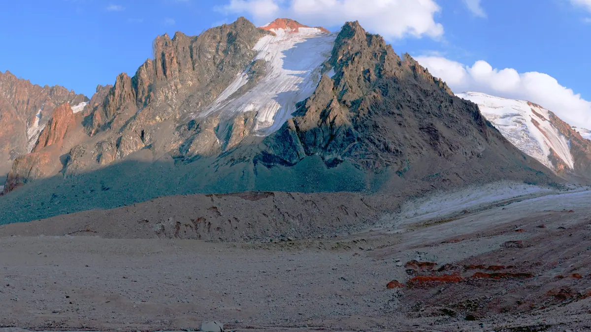
Tuyuksu Glacier cirque
A valley glacier in the centre of a horseshoe-shaped ring of glaciers, with open ice of about 3.1 km² and a tongue only 0.3–0.4 km wide.
A century of measurements
First described in 1902, photographed in 1916, mapped in 1937–1938, with a weather station from 1968 and research huts built in 1971.
The 300 m moraine wall
Side and end moraines join into a rampart about 300 m high that blocks the Malaya Almatinka valley; 1.4 km of the glacier lies beneath it.
Tuyuksu's brief summer
At about 3,660 m, July averages 9.5 °C by day and 2.1 °C at night, and July and August are the warmest months.
Source of the Malaya Almatinka
Meltwater gathers in the Mynzhylky valley and becomes the river that flows down past Medeu into Almaty, about 26 km away in a straight line.
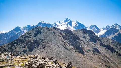
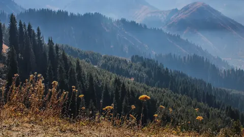
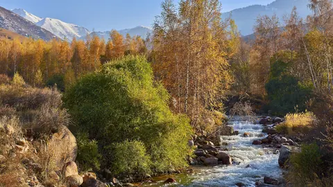
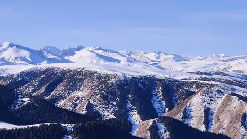
Tuyuksu Glacier in photos
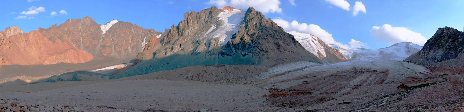
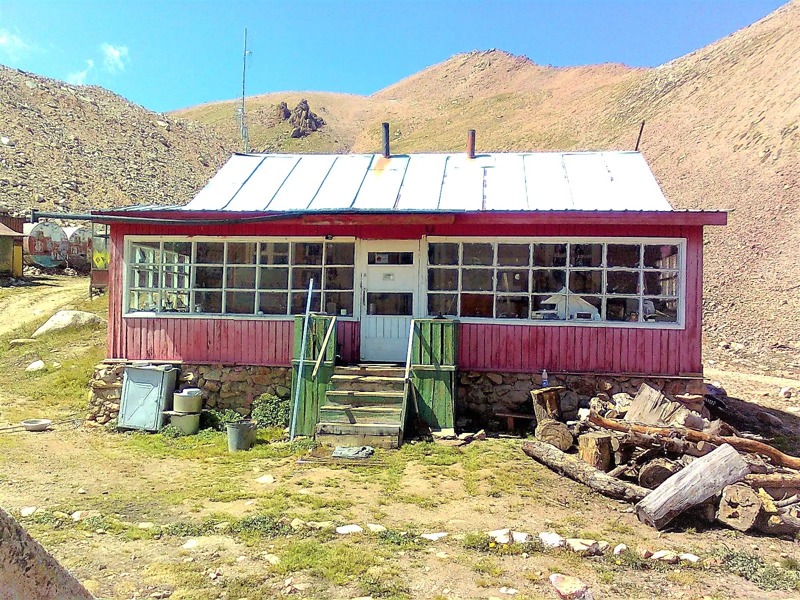
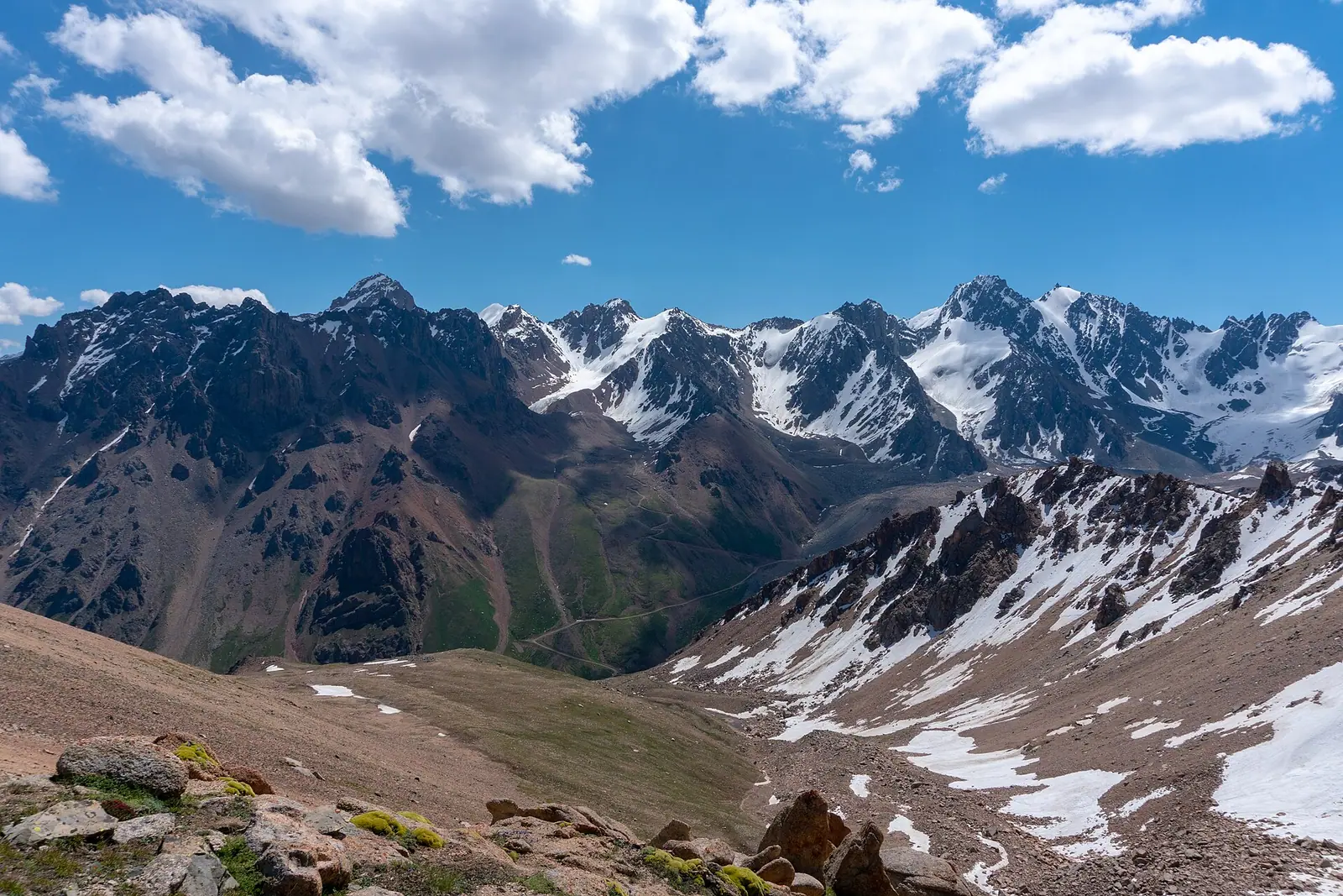
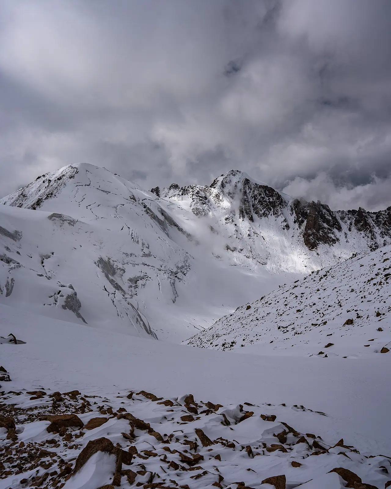
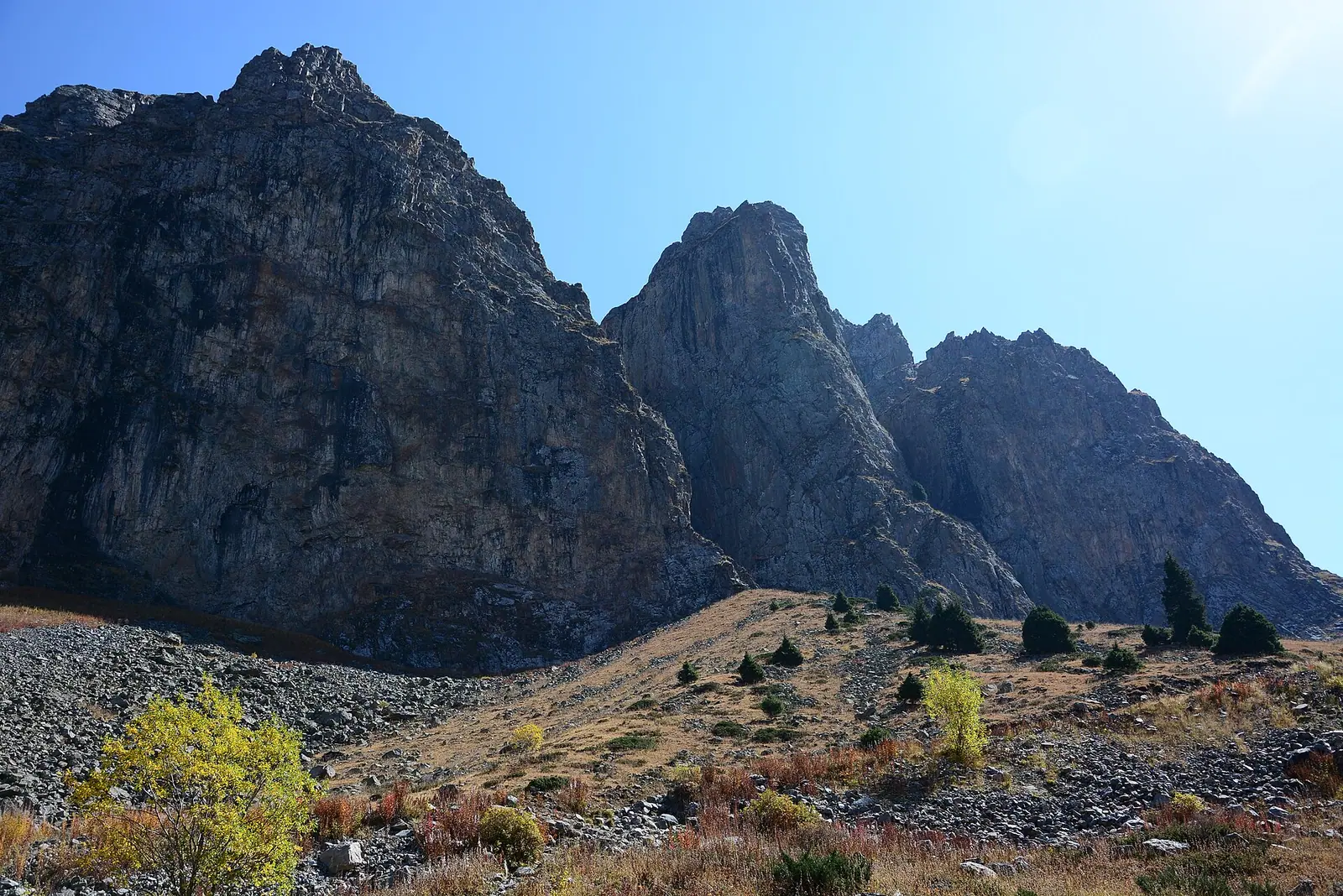
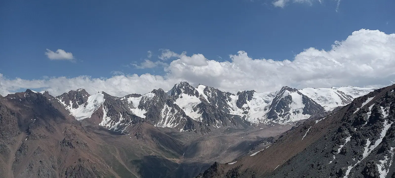
Real photos by travellers (Pexels, Unsplash, Wikimedia Commons); author and licence are given in each caption.
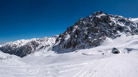
The Tuyuksu Glacier is a valley glacier on the northern slope of the Zailiyskiy (Ile) Alatau, at the head of the Malaya Almatinka River, about 26 km in a straight line south of Almaty. Its open tongue ends at around 3,400 m, so this is a high-mountain destination, not a casual day stop. Glaciologists have measured its retreat for decades, and that record is the main reason the glacier is known.
Where Tuyuksu sits and what kind of trip it is
Tuyuksu lies at the top of the Malaya Almatinka valley, the same valley that runs down past Medeu and Shymbulak towards Almaty. It sits in the centre of a group of glaciers that form a horseshoe-shaped cirque, below the Tuyuksu pass. According to Kazakh Wikipedia, its neighbours include the Molodezhny, Turist and Mayakovsky glaciers.
The name comes from Kazakh Тұйық Су, roughly “water with no outflow”. The same name is used for a pass, a peak and a mountaineering training camp in the Medeu area, so check which Tuyuksu a route description means.
The practical point: the ice begins far above the city at around 3,400 m. Shymbulak is about 9 km away in a straight line and Kok-Zhailau about 7 km, but straight-line distance in these mountains says little about walking time. We could not confirm a trail, transport to the valley head or the rules for entering the area.
The glacier in numbers
Tuyuksu is small by world standards but well measured. The figures below come from Wikipedia and several are decades old, so treat them as a historical baseline rather than today’s size.
| Measure | Figure |
|---|---|
| Length of open part | 3.5 km |
| Width in the cirque | 1.5 km |
| Width of the tongue | 0.3–0.4 km (Kazakh Wikipedia: 0.3–0.5 km) |
| Area of open ice | 3.1 km² |
| Lowest point of open ice | about 3,400 m |
| Average ice thickness | 50 m, maximum 100 m |
| Ice volume | about 150 million m³ (as of 1983) |
| Average snow line, 1973–1983 | 3,040 m |
| Part hidden under moraine | 1.4 km |
The sources do not agree on length. English Wikipedia gives 3.5 km for the open part but also says the glacier once reached 4 km and is now only 2 km. The difference likely depends on what is counted and when, and we could not confirm a current figure.
What matters for a visitor is the moraine. The side and end moraines join into a rampart about 300 m high that blocks the valley, and Wikipedia notes it made the glacier hard to reach.
Why Tuyuksu is shrinking, and what that means on the ground
Tuyuksu is retreating by about 10 m a year on average, by Wikipedia. Since 1958 it has lost about 57 million m³ of ice. Scientists cited there expect it to disappear by 2050, with consequences for fresh water in the region.
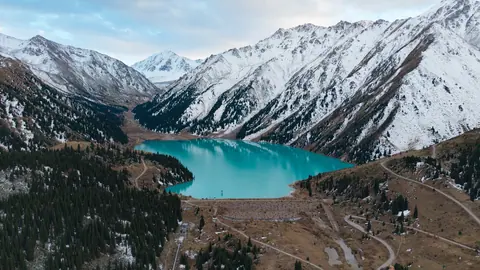
One visible result: in summer a meltwater lake forms between the end moraine and the glacier tongue. Kazakh Wikipedia describes small pools rather than one large lake, so expect the size to vary by year. The meltwater gathers in the Mynzhylky valley below and becomes the source of the Malaya Almatinka.
For a traveller this means old photos and old trip reports can mislead. The tongue you see will sit higher and further back than in older images.
A century of study
S. E. Dmitriev described the glacier first in 1902 and put the snow line at 3,680 m. V. D. Gorodetsky photographed its central part in 1916, when the lower glacier looked like a clean monolith without surface debris. N. N. Palgov worked in the area in 1922–1926, and G. R. Yunusov led two expeditions in 1937–1938 that mapped the glaciers and measured melting and movement.
A seasonal weather station, Tuyuksu-2, started work in 1968. Two wooden huts followed in 1971 for year-round observation. Research almost stopped in the early 1990s for lack of money, then resumed in the 2000s with foreign grants. We could not confirm whether any station or hut is staffed today or open to visitors.
When to go: a short summer window
From May to September average daytime highs near the glacier are above freezing, only just in May, and July and August are the warmest months. The climate figures are computed ERA5 normals for 2011–2020 at a grid point at 3,660 m, not a weather station. That is close to the glacier’s own height, so the numbers are a fair guide to conditions on the ice.
Day high, °C / Night low, °C · Rain/snow, mm
A computed reanalysis normal, not weather station records. Temperature is from ERA5-Land (about 9 km grid); precipitation is from ERA5, a value for a cell about 25 km wide rather than a mountain station, so it may miss extra mountain precipitation.
Monthly figures
| Month | Day high, °C | Night low, °C | Rain/snow, mm |
|---|---|---|---|
| Jan | -12.5 | -16.9 | 31.5 |
| Feb | -10.5 | -15.2 | 43.7 |
| Mar | -5.4 | -10.2 | 66 |
| Apr | -0.3 | -5.7 | 132.1 |
| May | 3.4 | -2.7 | 125 |
| Jun | 7.5 | 0.7 | 141.6 |
| Jul | 11.3 | 4.3 | 151.6 |
| Aug | 10.5 | 3.4 | 146.1 |
| Sep | 6 | -1 | 123.3 |
| Oct | -1.1 | -7.4 | 107.2 |
| Nov | -7.8 | -12.9 | 75.4 |
| Dec | -11 | -15.3 | 41.9 |
Source: Open-Meteo: ERA5-Land (temperature) and ERA5 (precipitation), 2011–2020
July averages a high of 11.3 °C and a low of 4.3 °C, August 10.5 °C and 3.4 °C. June and September stay near or below freezing at night, and from October to April highs are below zero (May averages 3.4 °C). Summer is also the wettest time: July brings about 152 mm and August about 146 mm, so plan for cloud, rain and snow showers even in peak season.
| Period | Typical high / low | What to expect |
|---|---|---|
| July–August | 9–10 °C / 1–2 °C | Warmest weeks, but wettest; meltwater lake forms |
| June, September | 5–6 °C / -1 to -3 °C | Frosty nights, snow likely on approach |
| October–April | below 0 °C by day | Winter mountain conditions |
For most visitors the realistic window is mid-summer, and even then the glacier demands warm layers and a weather margin. For an easier mountain day in the same area, see nature near Almaty.
- Whether a marked trail leads to the glacier and how long it takes from the nearest road
- Public transport or road access to the upper Malaya Almatinka valley
- Whether a protected-area permit or entry fee applies
- Whether the research station or huts are staffed or open to visitors
- Current size of the glacier and of the summer meltwater lake
Tuyuksu Glacier: tips before you go
- Use recent photos only: the glacier retreats about 10 m a year, so older images show the tongue lower than it is now.
- Pack for frost in July and August: average night lows near the ice are only 1–2 °C.
- Expect wet weather in summer: July and August are the wettest months here, with about 124–129 mm each.
- Check which Tuyuksu a description means: the name covers a glacier, a pass, a peak and a mountaineering camp.
More to see nearby