The Turgai Geoglyphs: giant earth figures in the steppe of northern Kazakhstan
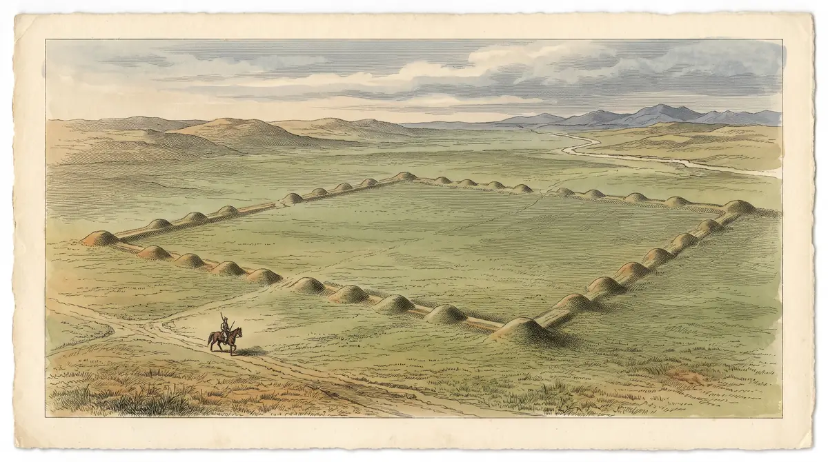
At least 260 squares, rings, crosses and lines built of mounds and ramparts lie across the Turgai Trough. They were confirmed from satellite images in 2007 and are hard to pick out from the ground.
The Turgai Geoglyphs: when to go, month by month
- January: off season
- February: off season
- March: off season
- April: possible
- May: good
- June: good
- July: good
- August: good
- September: good
- October: possible
- November: off season
- December: off season
No climate data could be confirmed, so these ratings reflect only the nature of an open steppe site and favour the warmer months.
The Turgai Geoglyphs: why go
Ushtogay Square
One of the named Turgai figures, a square of earthworks at 50.832933°N 65.326276°E in Amangeldi District, clearly visible on satellite maps.
Turgai Geoglyphs: an open dating question
Estimates run from about 2,800 years ago to around 8000 BCE for one mound. Builders and purpose remain unknown.
The triradial near Urpek
The three-armed Turgai figure lies about 600 to 800 m from the village of Urpek, depending on the source, with seven low mounds beside it.
Season on the Turgai steppe
We could not confirm climate data for the area. Plan for open steppe with no shelter and check conditions locally before setting out.
A forgotten report from 1909
Long before Google Earth, B. A. Skalov described the earthworks to the Orenburg Scholarly Archive Commission in 1909; the report came to light only later.
The Turgai Geoglyphs are a group of at least 260 large earthworks in the Turgai Trough, Kostanay Region, in the north of Kazakhstan. Built from mounds, trenches, ramparts and sometimes lines of stones, they form squares, rings, crosses and lines that only make sense from high above. Before planning a trip, know that they are easy to see on satellite images and close to invisible at ground level.
What the Turgai Geoglyphs are
They are composite figures: many small earthworks arranged together into one large geometric shape. By Wikipedia, the figures range from slightly under 90 m in length to over 400 m in diameter, and most are squares, rectangles or rings. A few break the pattern, such as the three-armed figure known as the Turgai triradial or triquetra.
Some of the larger shapes carry names. The table below lists those given in the sources, with coordinates where they are published.
| Named figure | Shape | Location given |
|---|---|---|
| Ushtogay Square | Square | 50.832933°N 65.326276°E, Amangeldi District |
| Turgai triradial | Three-armed figure, over 90 m | 50.102778°N 65.360833°E, near Urpek |
| Bestamskoe Ring | Ring | coordinates not confirmed |
| Large cross Ashtasti, Ekedyn cross, Koga cross | Crosses | not confirmed |
| Ashutasti ring, Kyzyloba line, Shili square | Ring, line, square | not confirmed |
For a traveller, the coordinates matter more than the names: they let you check the shapes on a satellite map before deciding whether the ground-level view is worth the distance.
Why they are hard to see on the ground
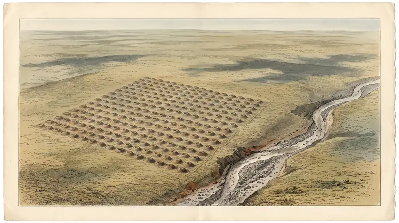
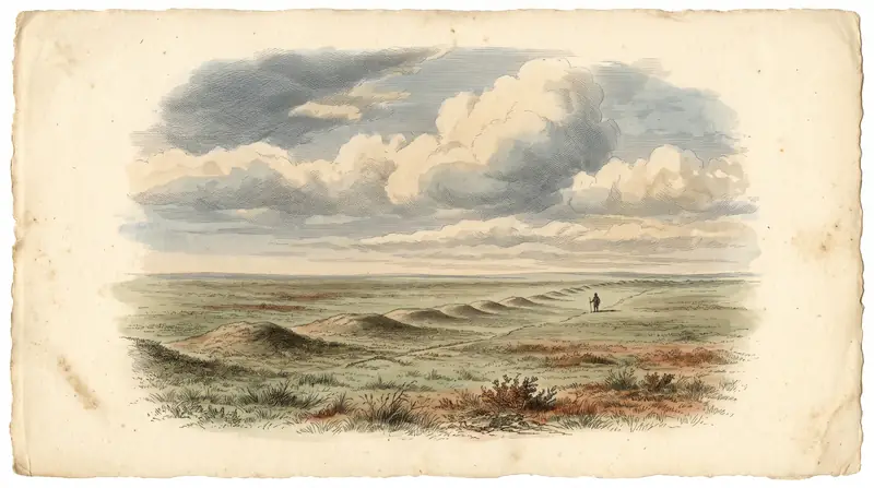
The main practical fact is that the figures were overlooked for a long time because, from the ground, they are almost impossible to tell apart from ordinary bumps in the landscape. On high-resolution satellite images they are identified fairly reliably. The Kazakh-language article adds that the arms of the Turgai triradial are fully visible only from a bird’s-eye height.
Next to the triradial stand seven more low mounds, 15 to 33 m in diameter. Expect low earth humps in open steppe rather than a monument with paths and signs. If you need a dramatic view, the payoff of the trip will be small; if the idea of standing on a figure you have studied from space appeals to you, it can be worth it.
How old they are: the sources disagree
There is no single agreed date, and the sources give very different figures. Read any age you see quoted with care.
| Source | Dating claim |
|---|---|
| Russian Wikipedia | Optical dating shows the geoglyphs were made about 2,800 years ago |
| English Wikipedia | Optically stimulated luminescence dates one of the mounds to around 8000 BCE |
| Kazakh Wikipedia (Turgai triradial) | Roughly the 8th to 2nd millennium BCE |
The English figure refers to one mound, not the whole group, which may be part of the gap. Who built the figures and why is unknown, as the Kazakh source states plainly for the triradial.
How they were found
The figures were discovered in 2007 by Dmitriy Dey, an amateur who was searching Google Earth images of Kazakhstan for pyramids and similar structures. More shapes followed in spring 2007, and between 2008 and 2009 seven similar objects were found, including a square, three cross-like figures, a ring of 25 mounds and two lines of mounds. The scientific community heard about them in 2014.
Russian Wikipedia adds an earlier trace: in 1909 B. A. Skalov reported the earthworks at a meeting of the Orenburg Scholarly Archive Commission, a report that came to light only later.
Where they are and what kind of trip it is
Ushtogay Square and the Turgai triradial, the two figures with published coordinates, both lie in Amangeldi District of Kostanay Region, in the north of the country. The triradial is close to the village of Urpek: about 600 m by Russian Wikipedia, about 800 m by English Wikipedia.
We could not confirm the distance from Almaty, Astana or Kostanay city, nor any road, bus or tour access. This is remote steppe, and access details are not confirmed, so plan transport in advance. The Turgai triradial is listed as an archaeological monument of local significance in Kostanay Region, so treat the mounds as a protected site and do not dig or drive over them.
Local beliefs about the site
Among local people the area, and especially the spots where the geoglyphs lie, is seen as a geopathogenic zone. Opinions differ: some call the figures places of power, others believe they bring misfortune. Visit quietly and respect the views of residents in Urpek and nearby villages.
- Road distance and travel time from Kostanay, Astana or Almaty to Amangeldi District and Urpek
- Whether any public transport or organised visits reach the geoglyphs
- Road and track conditions to the figures, especially outside summer
- Any permit or visiting rules for the listed monument
- Typical weather and temperatures in the Turgai area by month
The Turgai Geoglyphs: tips before you go
- Study the figures on a satellite map first: Ushtogay Square is at 50.8329°N 65.3263°E, the triradial at 50.1028°N 65.3608°E.
- Expect low mounds 15 to 33 m wide, not walls. The full shapes are visible only from high above.
- The Turgai triradial is a listed local monument: do not dig, collect stones or drive across the mounds.
- Urpek is the reference village for the triradial; arrange transport and a local contact in advance, as no access details are confirmed.
Frequently asked questions
How many Turgai Geoglyphs are there?
Can you see the Turgai Geoglyphs from the ground?
Who discovered the Turgai Geoglyphs?
How old are the Turgai Geoglyphs?
Sources
Read also
 Almaty Zoo in Kazakhstan: opening hours and how to visit
 Ayusai Gorge, Almaty: visitor centre and waterfall trail
 Gorelnik Gorge above Medeu: waterfalls, trail and season
 Kamenskoe Plateau above Almaty: observatory and trails
 Pervomaiskie Ponds near Almaty: location, swimming, season
 Saty village: base for the Kolsai and Kaindy lakes