Verified: 2026-10
Tamgaly (Tanbaly) petroglyphs: when to go, month by month
- January: possible
- February: possible
- March: possible
- April: good
- May: good
- June: good
- July: good
- August: good
- September: good
- October: good
- November: possible
- December: possible
Visitors come all year; we found no seasonal advice from the museum-reserve.
Tamgaly (Tanbaly) petroglyphs: why go
Tamgaly's sun-headed deities
About 30 figures with a rayed disc for a head — the sanctuary's signature motif, pecked into the rock in the Bronze Age (archaeology.kz).
The 'pantheon' in group 4
Over 700 carvings at the heart of the sanctuary: seven deities, ten warriors in a ritual dance, a woman giving birth and figures in prayer.
Tamgaly petroglyphs — UNESCO
On the World Heritage List since 2004 as the Petroglyphs of the Archaeological Landscape of Tanbaly, with art from the Bronze Age onwards.
A guided walk through five groups
The tour starts at a Bronze Age burial ground and covers groups 1–5; guides work in Kazakh, Russian and English.
Don't touch the Tamgaly carvings
The images are pecked into the rock surface; damaging protected sites or writing on rocks falls under Article 294 of the Criminal Code.
Tamgaly (Tanbaly) petroglyphs in photos
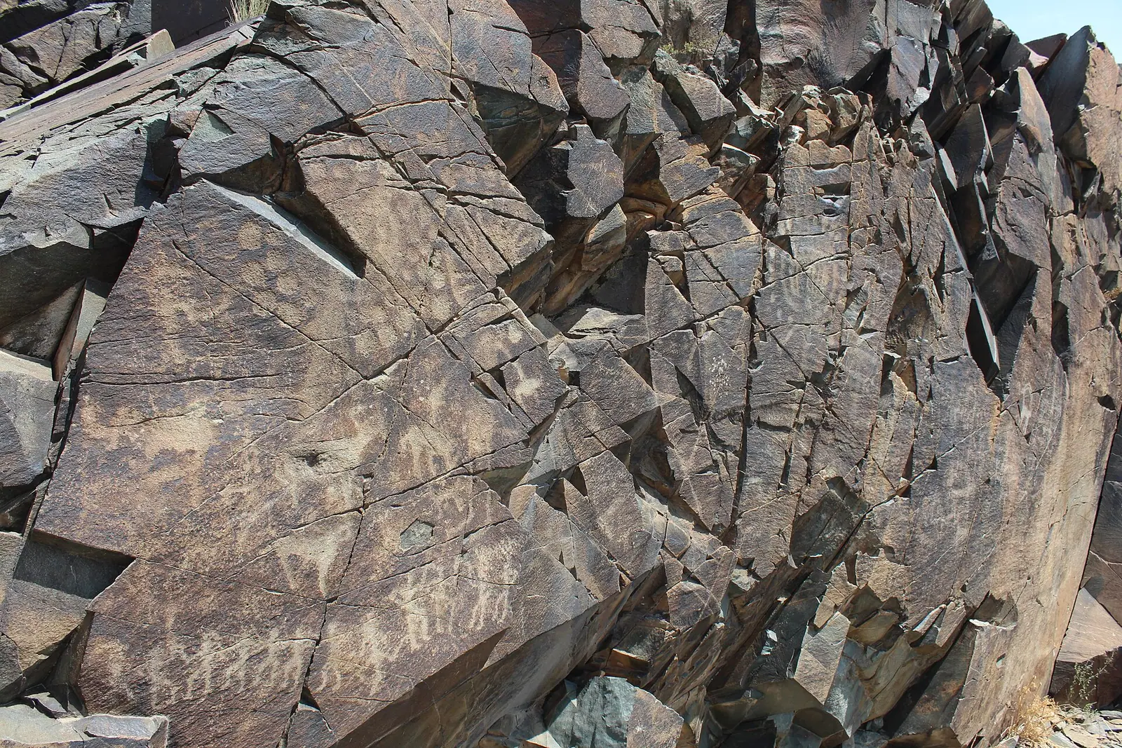
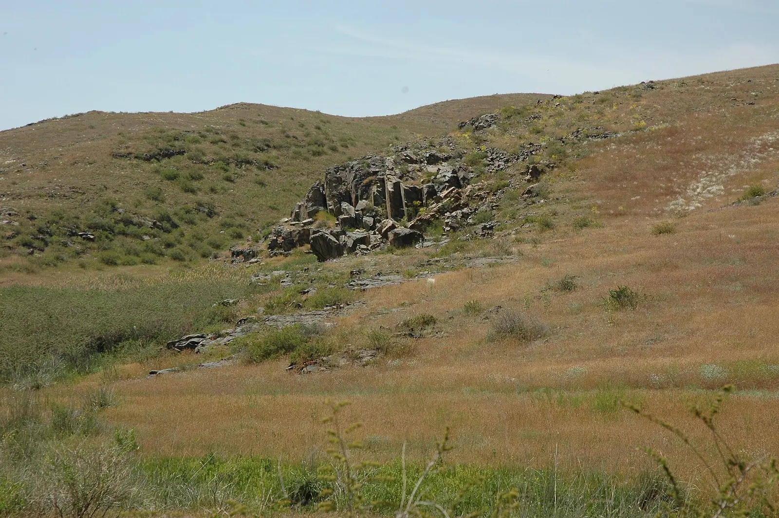
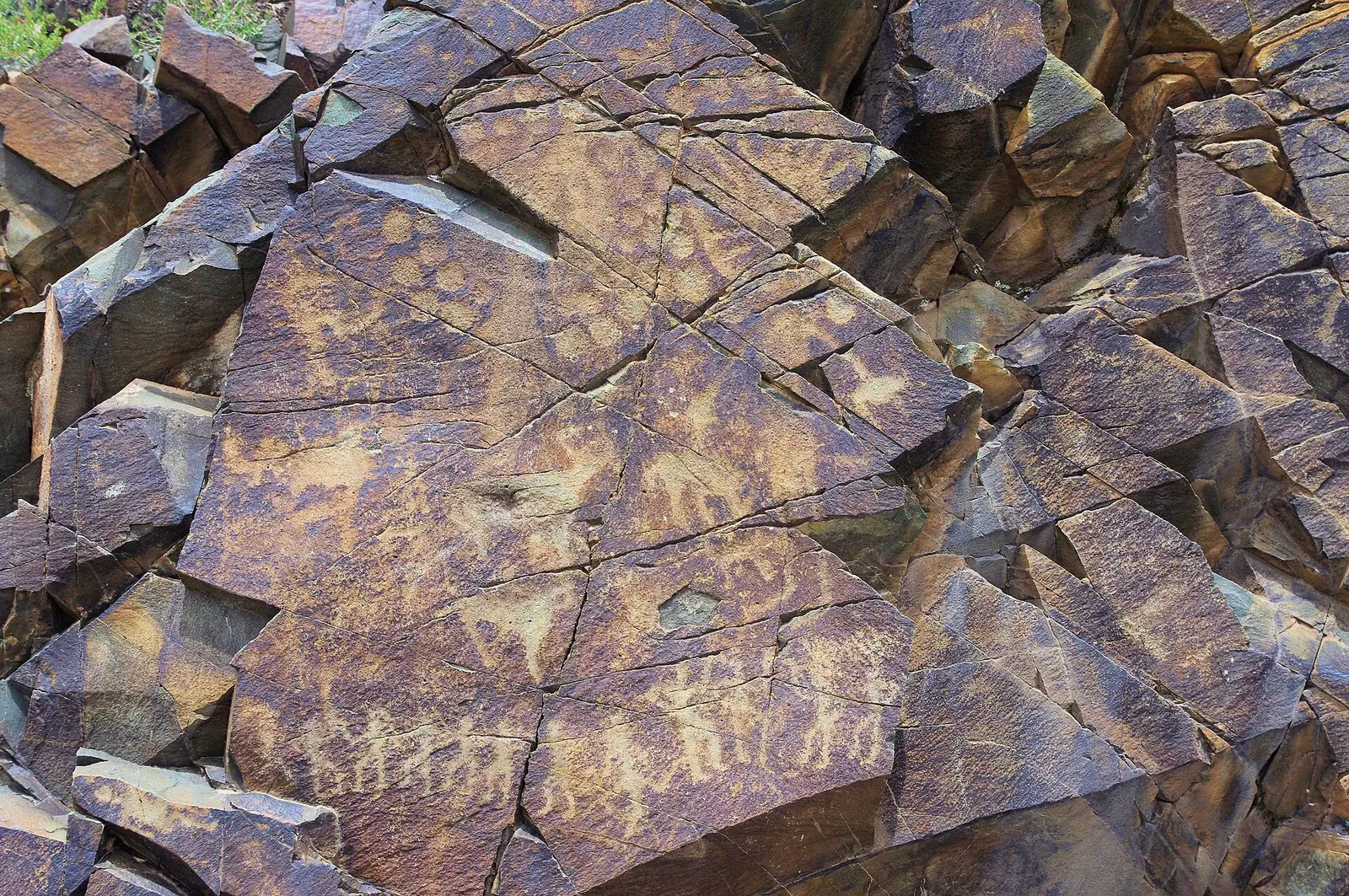
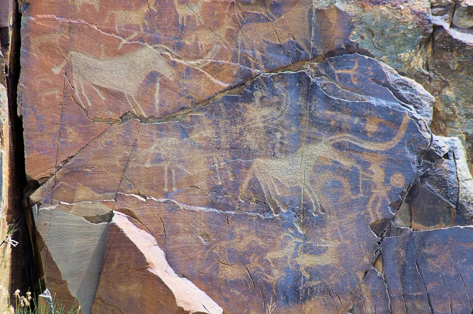
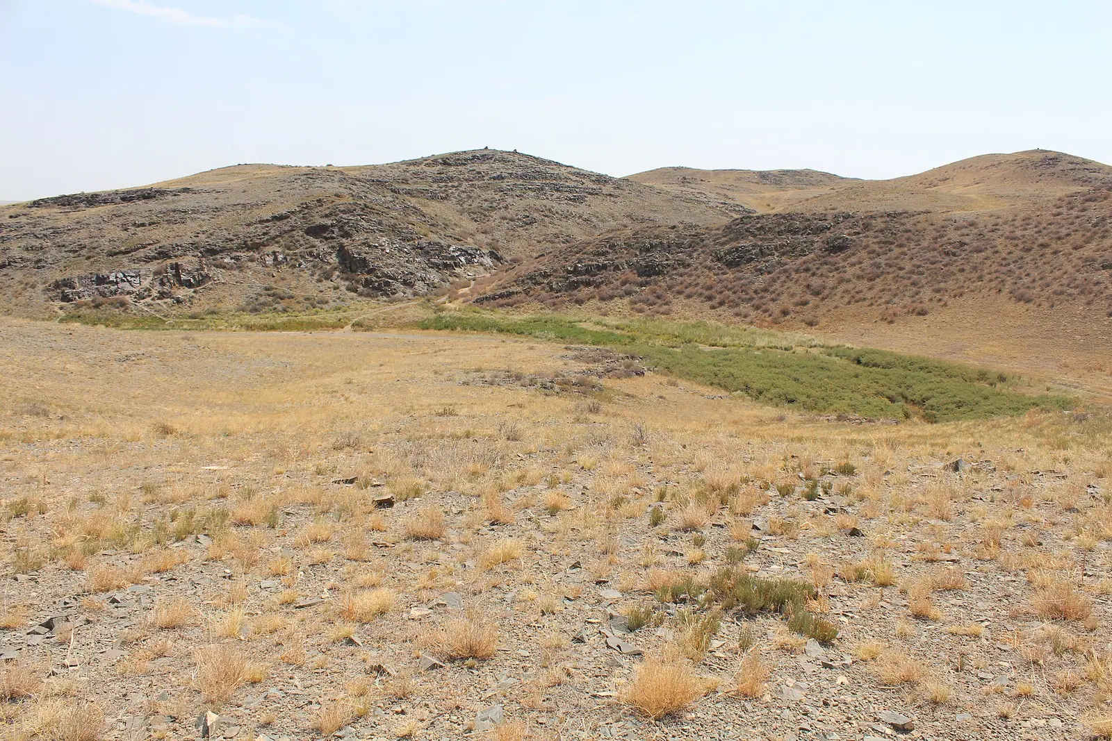
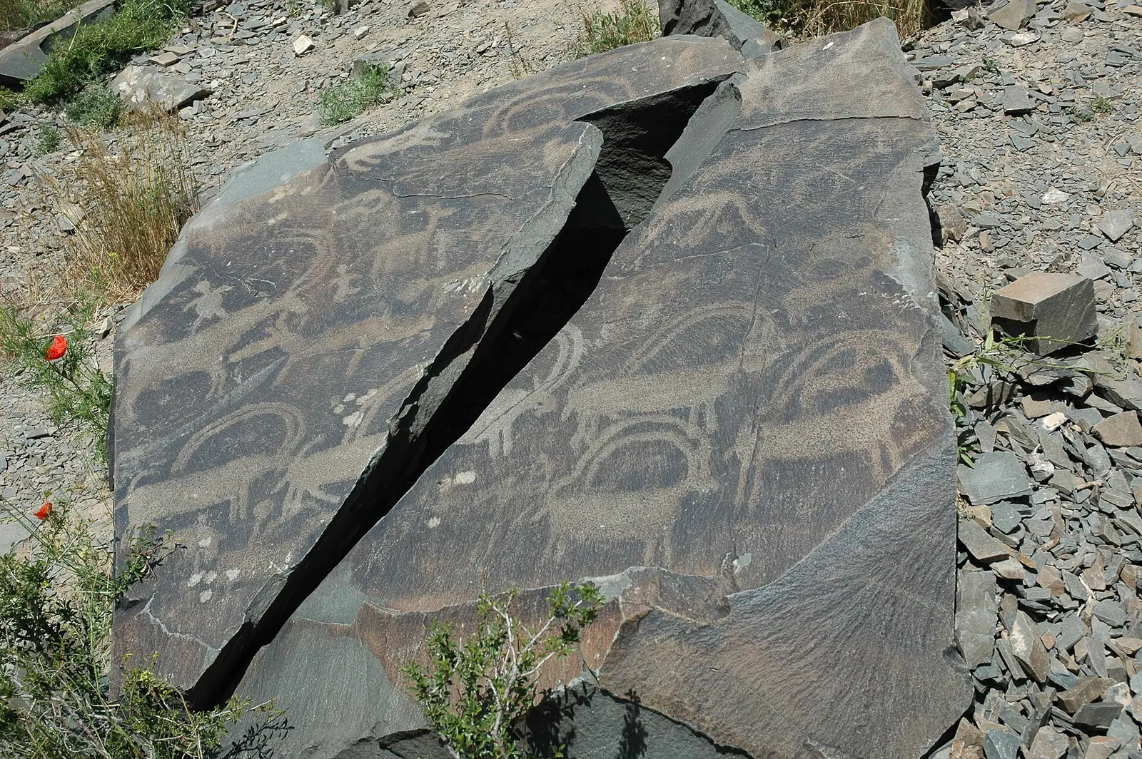
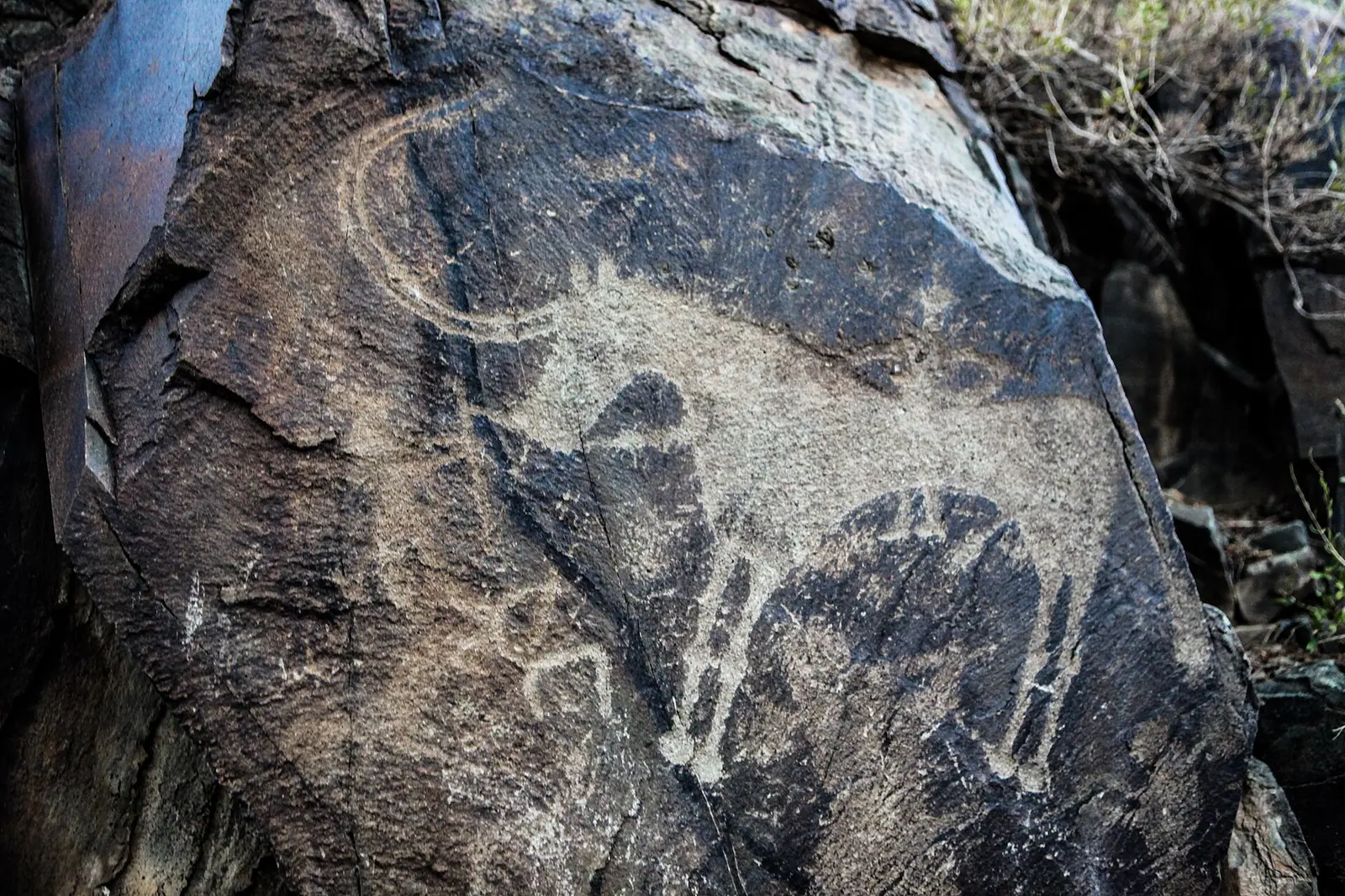
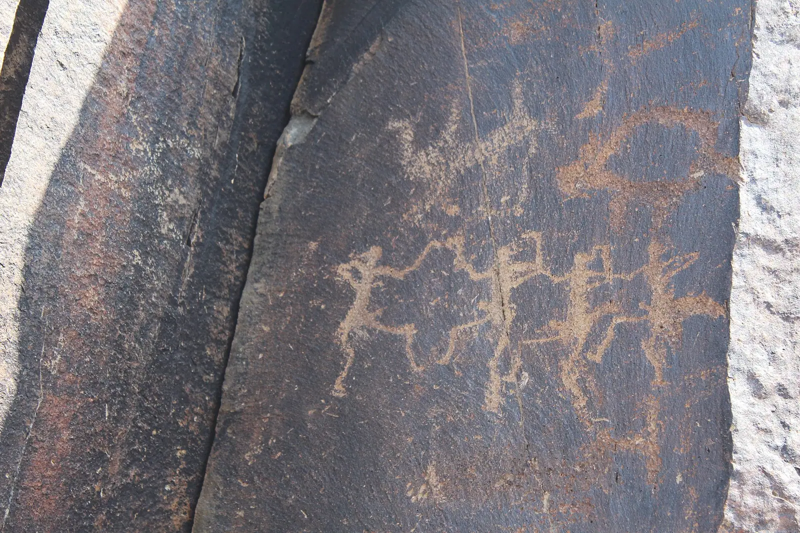
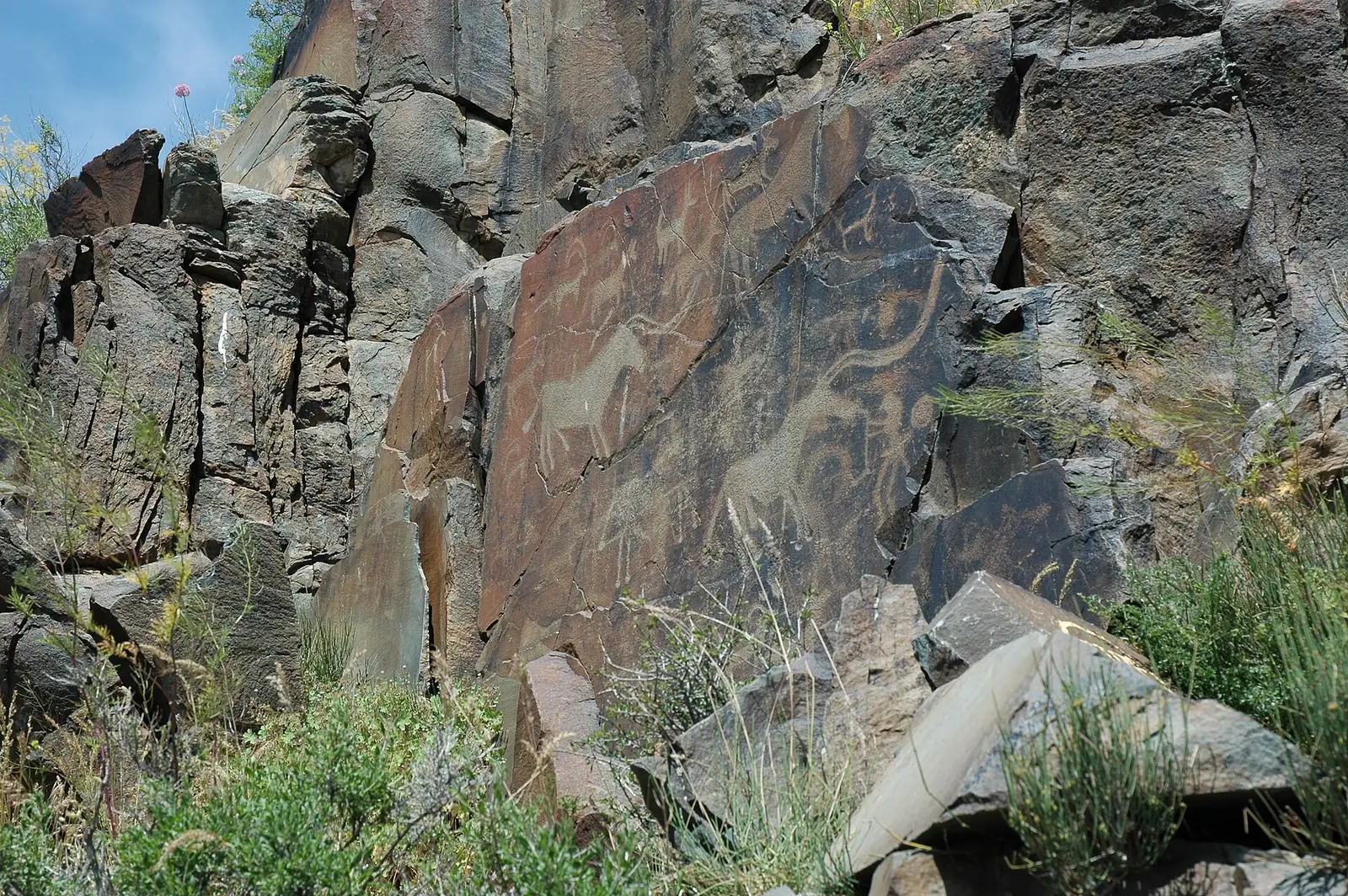
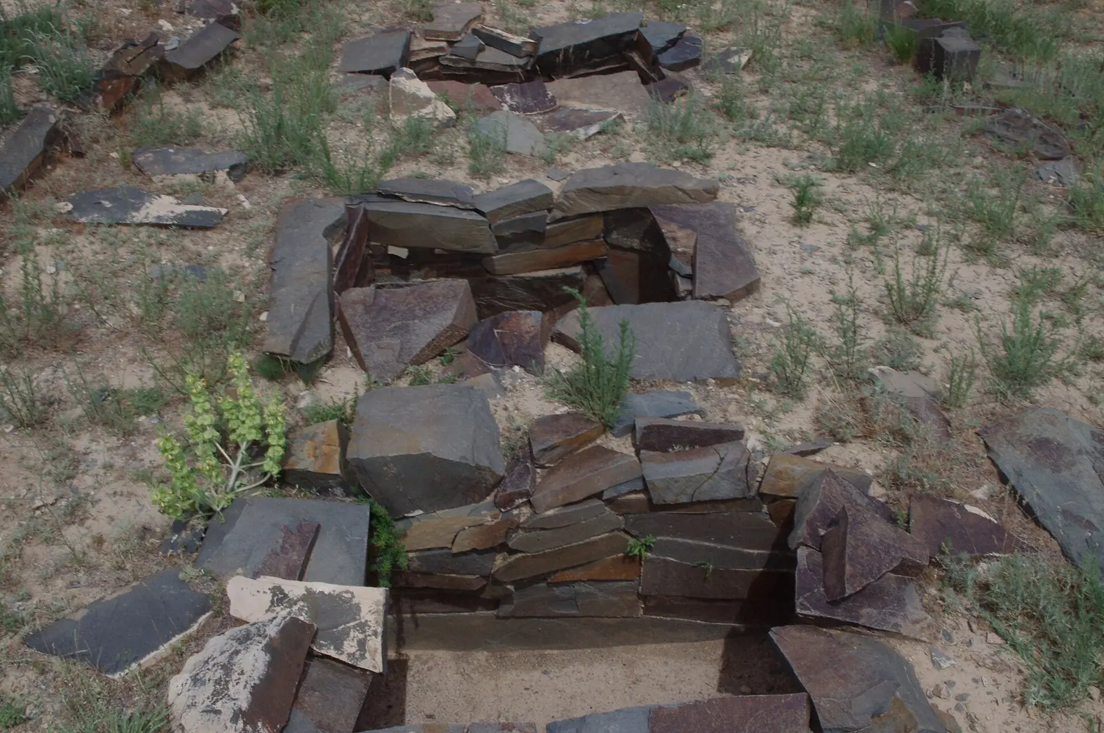
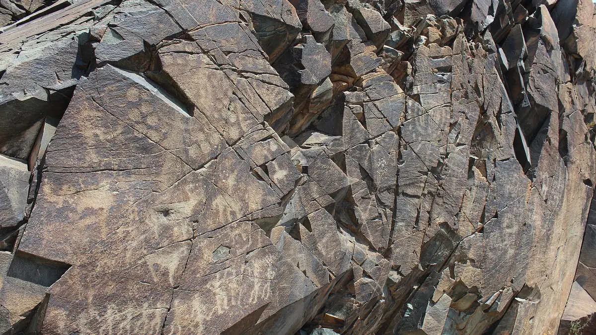
Real photos by travellers (Pexels, Unsplash, Wikimedia Commons); author and licence are given in each caption.
Tamgaly, officially Tanbaly, is a valley in the Chu-Ili mountains (Wikipedia calls them the Anrakai mountains) holding around 5,000 petroglyphs, from the Bronze Age to recent centuries. It lies in Zhambyl District of Almaty Region, near the village of Karabastau, about 170 km northwest of Almaty — a 3–4 hour drive each way. Since 2004 it has been on the UNESCO World Heritage List as the “Petroglyphs of the Archaeological Landscape of Tanbaly”. Tengrinews says visitors come all year, and the carvings make most sense with one of the museum-reserve’s guides.
What Tamgaly is
According to Wikipedia and archaeology.kz, most of the carvings date from the Bronze Age, and the finest from the Middle Bronze Age — the so-called Tamgaly style. Around and on top of them are Saka “animal style” images and later work by Usun, Turkic, Dzungar and Kazakh hands. Archaeology.kz dates the site from 1500 BCE to 1200 CE; Tengrinews (2018) says the earliest images go back to the 14th century BCE. Besides rock art there are burial grounds, altars and ancient quarries.
The sanctuary was found in 1957 by an expedition led by A. G. Maksimova, which was excavating the Karakuduk II cemetery. A. N. Maryashev studied the carvings from the 1970s, and A. E. Rogozhinsky’s team from the 1990s (archaeology.kz).
You will see the name spelled Tamgaly, Tanbaly or Tañbaly. Do not confuse the valley with Tamgaly-Tas, a different complex on the Ili River mentioned on our Altyn-Emel park page.
Key facts
| Item | Value | Source |
|---|---|---|
| Location | Zhambyl District, ~4 km NW of Karabastau | archaeology.kz, tanbaly.kz |
| From Almaty | about 170 km NW; about 180 km by road | Wikipedia, archaeology.kz; Tengrinews 2018 |
| Driving time | 3–4 hours | Tengrinews 2018 |
| Petroglyphs | about 5,000 (archaeology.kz: 5,200) | Wikipedia, Tengrinews, archaeology.kz |
| In the main gorge | about 2,000, in 7 groups | Russian Wikipedia |
| Sun-headed figures | about 30 | archaeology.kz |
| UNESCO | 2004, 28th session, No. 1145, criterion (iii) | Wikipedia, tanbaly.kz |
| Core / buffer zone | 900 ha / 2,900 ha | Wikipedia |
| Museum-reserve area | 3,800 ha | tanbaly.kz |
What is on the rock panels
The stars of Tamgaly are the sun-headed deities — figures with a rayed disc for a head; archaeology.kz counts about 30. Around them are masked figures (possibly shamans), warriors with clubs and spears, couples, women giving birth, crowded hunting and bull-sacrifice scenes, chariots, “divine footprints” and many solar signs. The animals include bulls, horses, deer, camels and boars.
The museum’s standard guided walk covers five groups:
| Group | Carvings | Highlights |
|---|---|---|
| 1 | 111 | Bronze Age sketches and unfinished images, animals 60–70 cm long |
| 2 | 432 | the oldest group and the only one with masked figures |
| 3 | 444 | Bronze Age panels overlaid with Saka and medieval images; easiest to see from the opposite side |
| 4 | over 700 | the heart of the sanctuary: the “pantheon” of seven deities, ten warriors in a ritual dance, a woman giving birth |
| 5 | over 1,000 | striped bulls, a boar, chariots, camel-drawn carts, 11 deities |
The walk starts at a Late Bronze Age burial ground on the plain and then heads to group 2, closest to the entrance. Group 6, with Turkic-period art, lies further away and is not on the standard route. Archaeology.kz also notes Turkic runic, Oirat and two Tibetan inscriptions.
Getting there from Almaty
We found no public transport to the site itself, so you need a car or an organised excursion. Tengrinews (2018) gives the route:
- Leave Almaty towards Otar and drive to the turn-off for Kopa station — the sign is 6 km past Targap.
- From Kopa it is about 40 km on the Kopa–Kanshengel road; the reserve is just beyond Karabastau.
- About 180 km and 3–4 hours each way, so it makes for a long day out.
The author called the stretch after Kopa unsuitable for ordinary cars and recommended a 4x4. That article is eight years old and we found nothing newer on the road, so check with the museum-reserve before you go (contacts on tanbaly.kz).
Tickets and guides
Tickets are sold by the Tanbaly State Historical, Cultural and Natural Museum-Reserve. Its price list distinguishes Kazakh citizens from foreigners and has reduced rates for students and schoolchildren; visitors with Group I or II disabilities and disabled children are admitted at state expense. Guides are paid by the hour, and visits are offered in Kazakh, Russian and English. We do not quote amounts — check the current list on the museum’s site.
Tengrinews suggests hiring a guide at the entrance: they cover the legends as well as the archaeology. A visitor centre with an exhibition hall and accommodation has operated at the site since 2019 (tanbaly.kz).
Rules: look, don’t touch
The images are pecked into the rock surface, and anything visitors do to that surface is permanent. So:
- do not touch the carvings, and do not trace them with chalk or water to make them show up in photos;
- do not climb the decorated rocks or leave the guided path;
- never write or scratch anything on the stones — Tengrinews calls the graffiti at Tamgaly plain vandalism.
This is also the law. The site is state-protected, and Article 294 of the Criminal Code (Vandalism) covers damage to protected objects and writing on rocks, with penalties from fines of 100–2,000 MCI to up to three years in prison (Bes.media, citing the Interior Ministry, May 2026).
When to go
Tengrinews says visitors come all year round. We found no seasonal advice from the museum and no climate data for the site itself, so we will not name an ideal month. The visit is on foot from group to group, so bring water and a hat whatever the season. Tulips grow in the reserve; the museum lists their flowering times on its routes page.
Tamgaly and Kazakhstan’s other UNESCO sites
Tanbaly is one of Kazakhstan’s cultural World Heritage Sites, alongside the Mausoleum of Khoja Ahmed Yasawi, the Silk Roads corridor and the rock mosques of Mangystau. See the full list in UNESCO heritage in Kazakhstan. UNESCO status does not change how you visit: the museum-reserve sets the rules.
Nearby
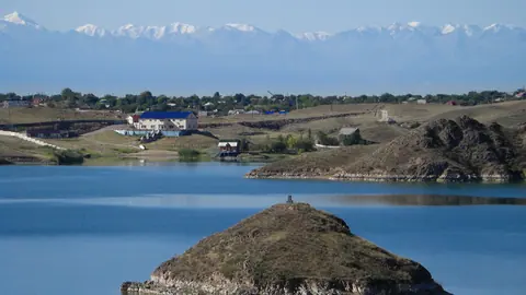
- Kapshagay Reservoir and Konaev — beaches near Almaty.
- Altyn-Emel National Park — with Tamgaly-Tas and the Singing Dune.
- Nature near Almaty: 15 places for a day out.
Tamgaly (Tanbaly) petroglyphs: tips before you go
- The Kopa station turn-off is 6 km past Targap, then about 40 km on the Kanshengel road.
- Check the road beyond Kopa with the museum-reserve: in 2018 a 4x4 was recommended.
- Do not confuse the Tanbaly valley with Tamgaly-Tas, a separate site on the Ili River.
More to see nearby


Frequently asked questions
Where are the Tamgaly petroglyphs?
How do I get to Tamgaly from Almaty?
How many petroglyphs are there at Tamgaly?
What do the Tamgaly petroglyphs show?
How much does it cost to visit Tamgaly?
Can I touch the petroglyphs?
Are Tamgaly and Tamgaly-Tas the same place?
Sources
- Tamgaly — Wikipedia
- Тамгалы — Russian Wikipedia
- Tamgaly, petroglyphs — archaeology.kz
- Tanbaly, an open-air museum — Tengrinews, 31 Dec 2018 (in Russian)
- Tanbaly museum-reserve: about (in Russian)
- Tanbaly museum-reserve: entrance tickets (in Russian)
- Tanbaly museum-reserve: tourist routes (in Russian)
- Interior Ministry warns of liability for damaging monuments and natural sites — Bes.media, 10 May 2026 (in Russian)