Verified: 2026-10
Talgar Peak: when to go, month by month
- January: off season
- February: off season
- March: off season
- April: off season
- May: off season
- June: off season
- July: best time
- August: best time
- September: good
- October: possible
- November: possible
- December: off season
Climbs run from July to mid-September; the reserve's eco-trails are best from August to November. Avalanche risk peaks in March–April.
Talgar Peak: why go
Top of the Trans-Ili Alatau
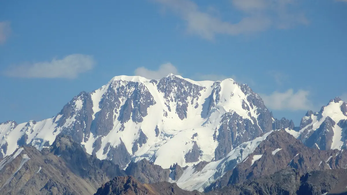
A three-headed massif, 4,973–4,979 m by modern data and 5,017 m on 1952 maps, with a prominence of 2,982 m.
Korzhenevsky Glacier below Talgar
The largest glacier of the Trans-Ili Alatau, 11 km long and 38 km²; the classic 3A route to the main summit follows it.
First ascent of Talgar, 1938
Climbers from Stalinsk — Kutukhtin, Makatrov and Kropotov — reached the main summit; a climbing camp ran in Middle Talgar from 1939 to 1990.
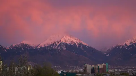
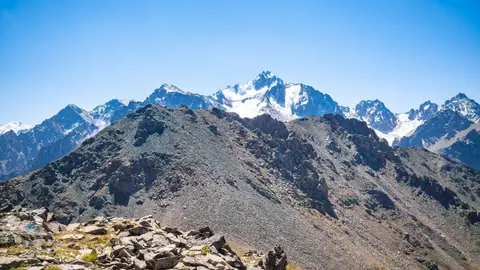
Talgar Peak seen from town
On clear days the summit shows from most of Almaty, from Burundai and the Kuldzha highway; the best view is from Talgar town above the river.
Almaty Reserve eco-trails
Guided one-day trails: Left Talgar 6.5 km, Right Talgar 10.5 km and Esik 9.6 km; the best time is August to November.
Talgar Peak in photos
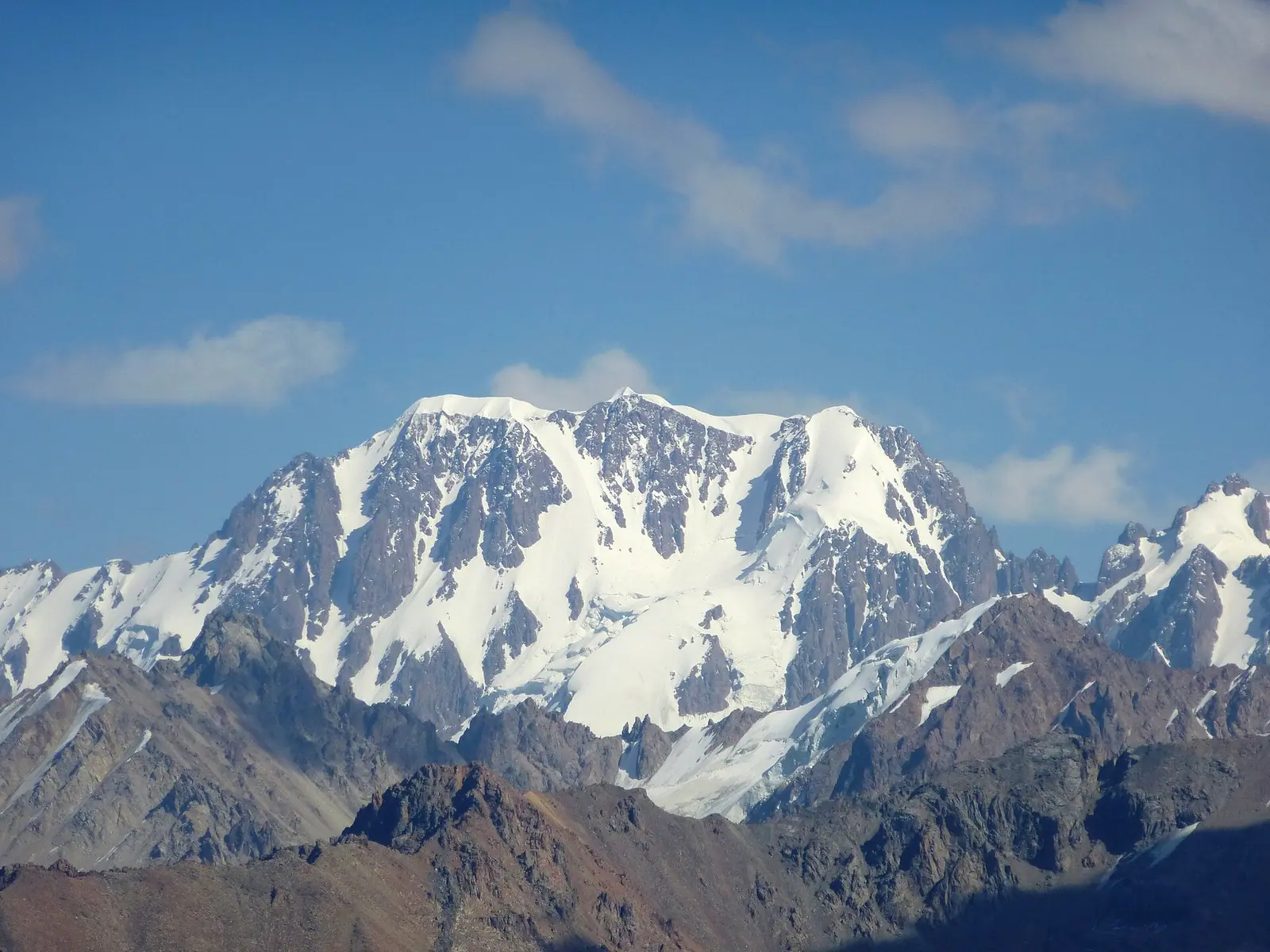
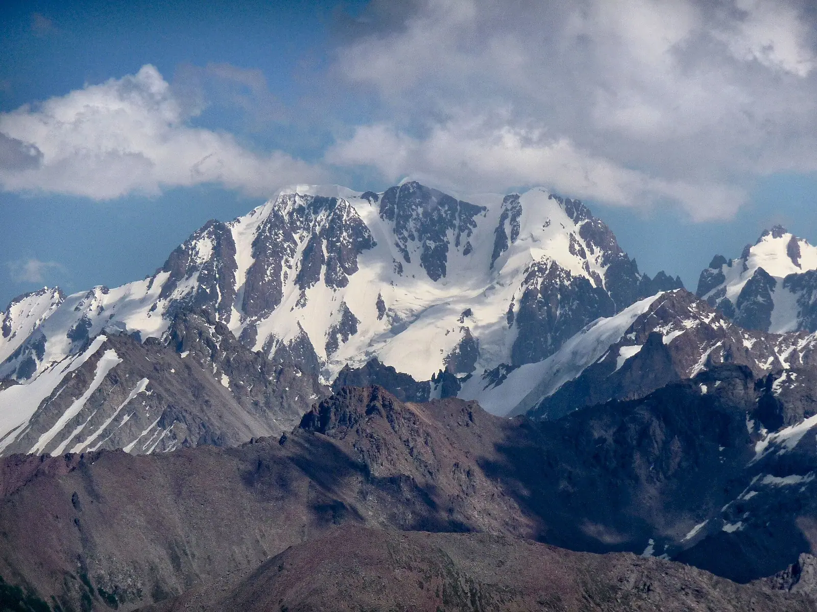
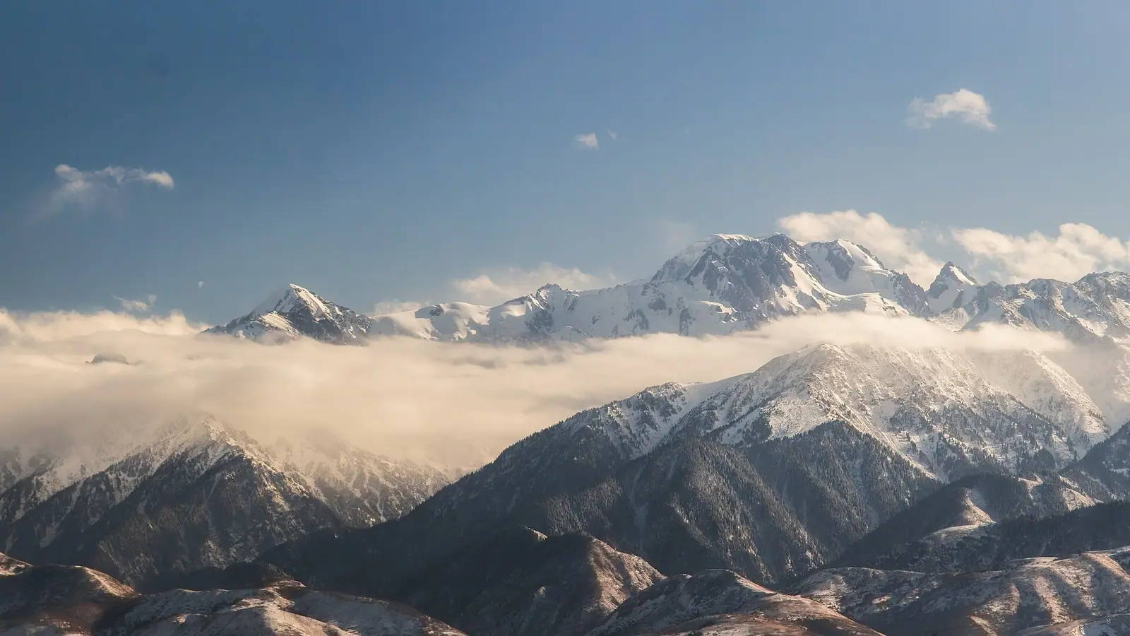
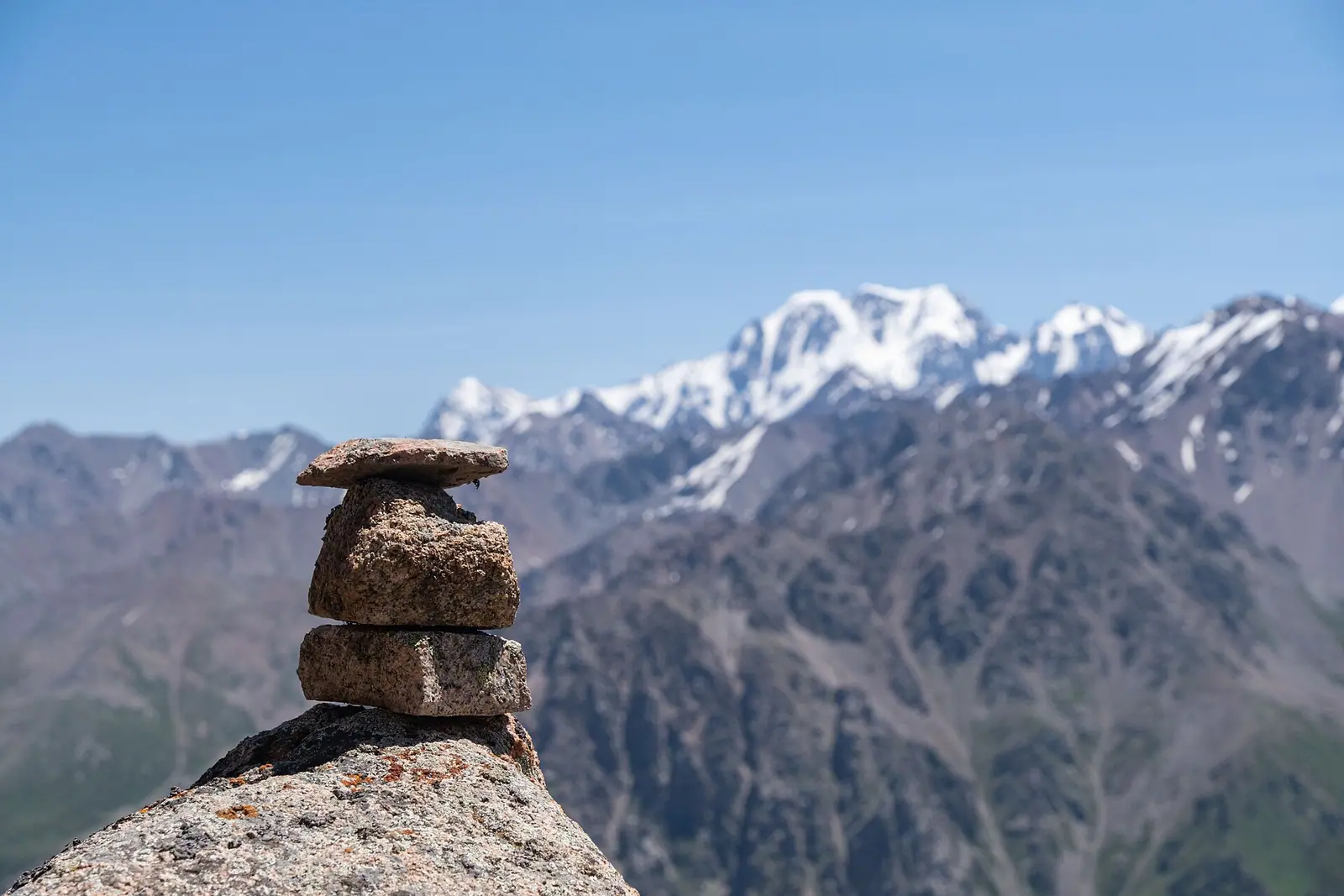
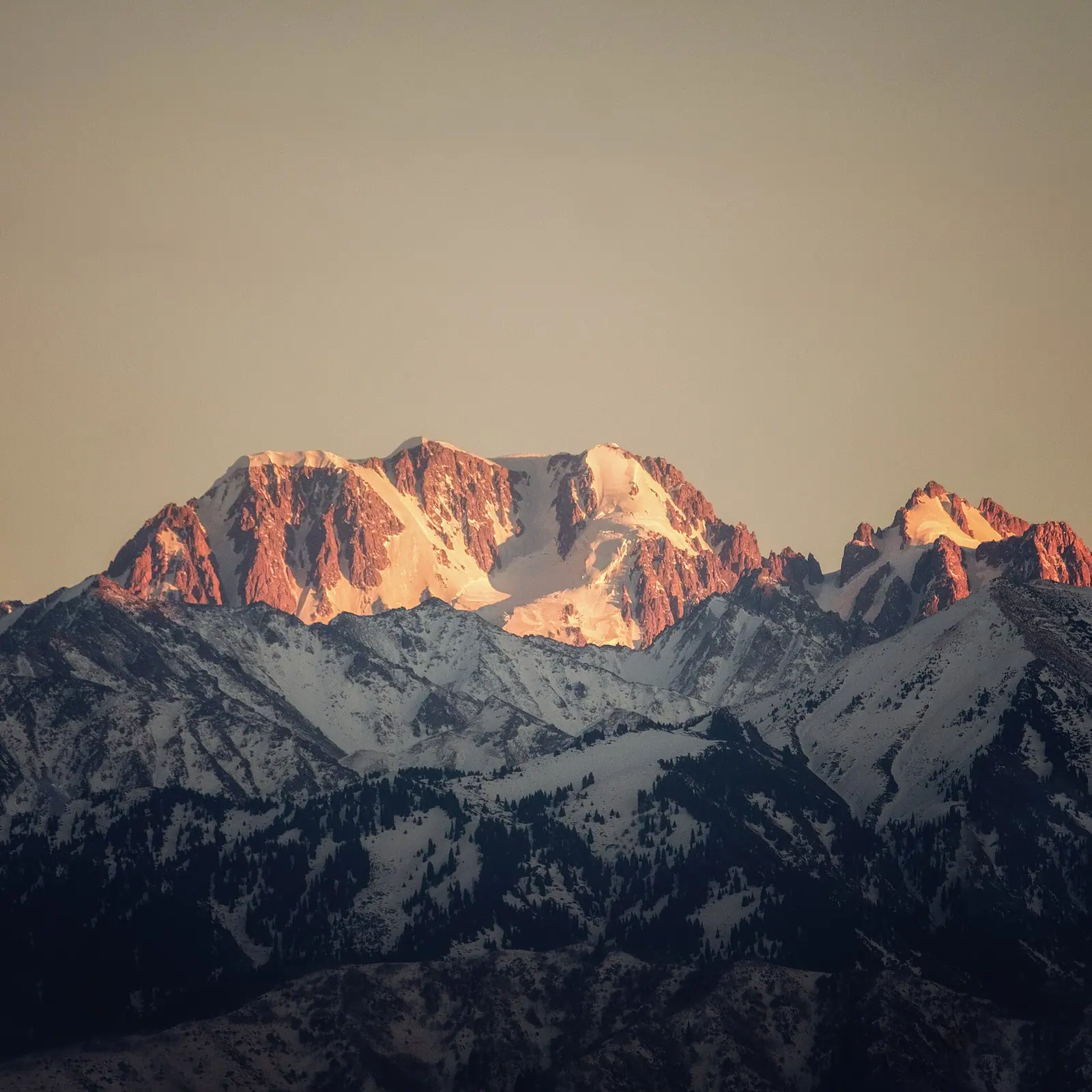
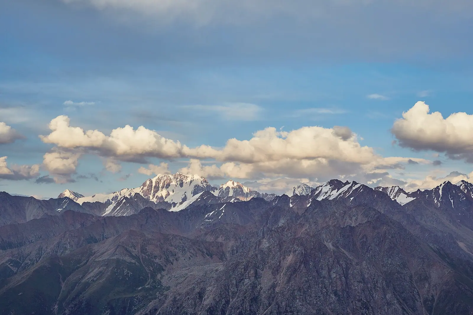
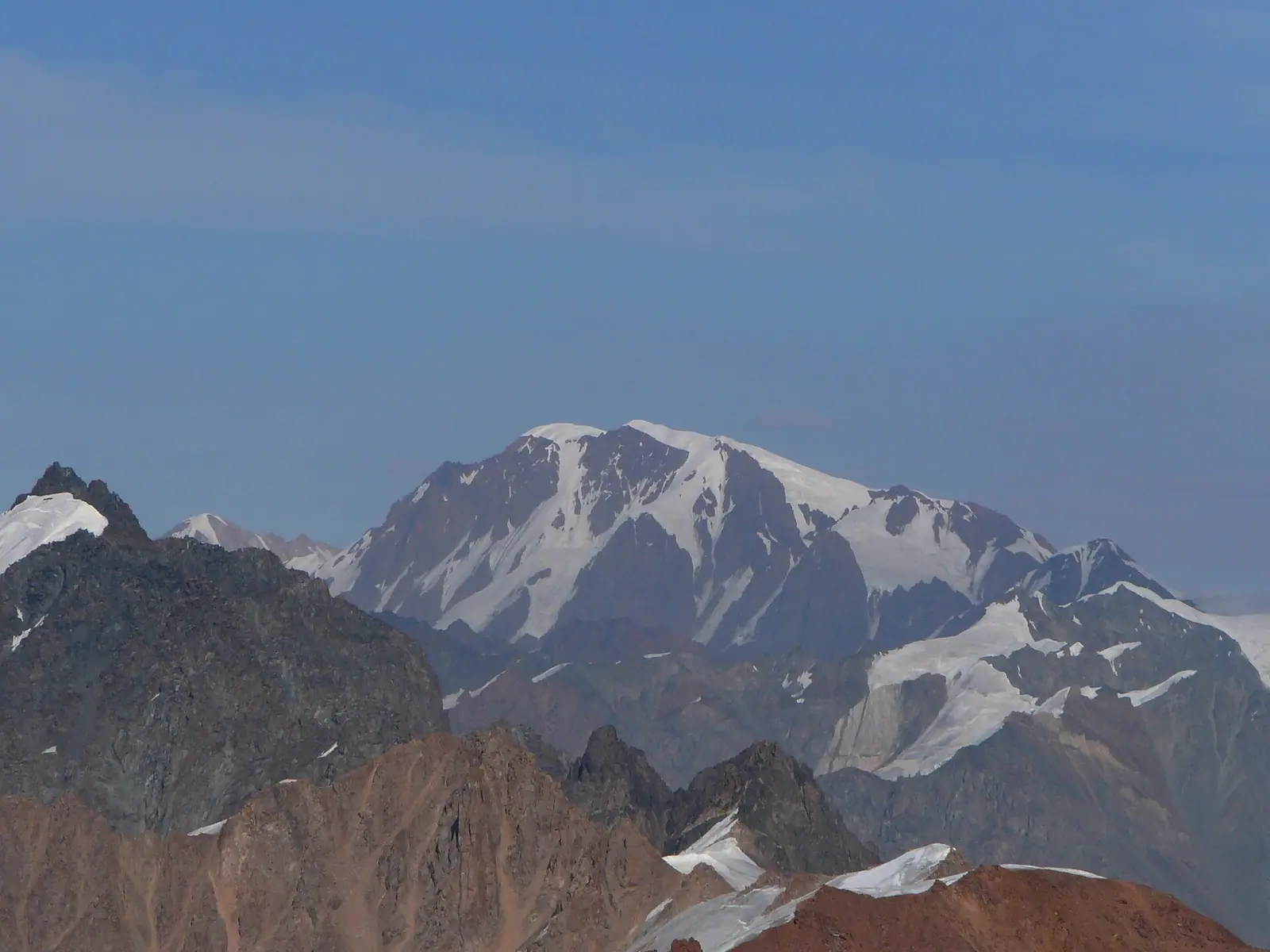
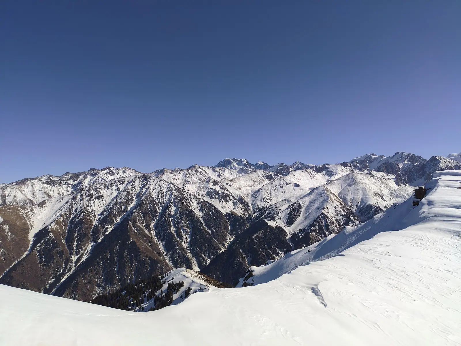
Real photos by travellers (Pexels, Unsplash, Wikimedia Commons); author and licence are given in each caption.
Talgar Peak is the highest point of the Trans-Ili (Zailiysky) Alatau, a three-headed massif of 4,973–4,979 m by modern figures and 5,017 m on old maps. It stands inside the Almaty Nature Reserve, and only mountaineers go to the top: the easiest route is a 3A on snow and ice, an expedition takes about a week, and you need a reserve pass. Everyone else can enjoy it as a view, since in clear weather its white summit is visible from most districts of Almaty.
Two ways to experience Talgar: climb it or look at it
This page covers two different Talgars, so pick yours first. Mountaineers need the sections on technical routes, glaciers and permits. Hikers need the viewpoints and the reserve’s one-day eco-trails.
There is no middle option. You cannot walk to the summit in trainers: as Welcome.kz puts it, there are no easy ways to the top. If you have no glacier experience, plan a guided expedition or settle for the view.
Talgar is a glaciated massif with three summits
Talgar is a massif with three summits on a spur of the Trans-Ili Alatau, the northern range of the Tien Shan, in the Talgar district of Almaty Region (Russian Wikipedia). It is the highest point of the Talgar mountain knot and a major centre of glaciation. The slopes are steep, the western one most of all: rock walls, couloirs and buttresses packed with snow and ice.
| Parameter | Value |
|---|---|
| Height | 4,973–4,979 m (5,017 m on old maps) |
| Prominence | 2,982 m |
| Location | Talgar district, Almaty Region, Almaty Nature Reserve |
| Snow line on the northern slopes | about 3,700–3,900 m |
| Korzhenevsky Glacier (southern slopes) | 11 km, 38 km², the largest in the Trans-Ili Alatau |
| Bogatyr Glacier | 9.1 km, 30.3 km² |
| From Almaty to the town of Talgar | about 34 km along the Talgar highway |
Wikipedia gives two lengths for the Korzhenevsky Glacier: about 12 km in the article on the peak and 11 km in the article on the reserve. Around the main summit stand Kopr (4,631 m), Metallurg (4,600 m), Chekist (4,550 m), Aktau (4,686 m) and Karaulchatau (4,504 m).
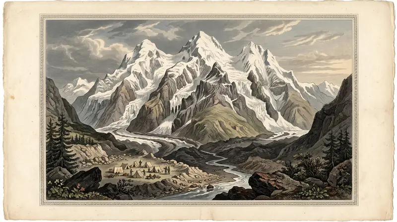
The height is 4,973, 4,979 or 5,017 m depending on the source
There is no single correct figure, which is common for Soviet-era survey heights. In 1952 the “Essays on the Physical Geography of Kazakhstan” gave 5,017 m, while the 1988 “Kazakh SSR. Concise Encyclopedia” gave 4,973 m, a difference of about 40 metres (Informburo).
| Height | Who gives it |
|---|---|
| 5,017 m | “Essays on the Physical Geography of Kazakhstan” (1952), Zakon.kz, Trekking Club, Soviet mountaineering literature |
| 4,979 m | Russian Wikipedia (based on Peakbagger), Tengrinews |
| 4,973 m | “Kazakh SSR. Concise Encyclopedia” (1988), maps, Orexca, the Wikipedia article on the reserve, American Alpine Journal |
Whichever figure you take, Talgar is higher than Mont Blanc, a point made by both Informburo and Orexca.
Climbing history: first ascent in 1938, and a prison camp in 1941
The main summit was first climbed in 1938 by mountaineers from Stalinsk (now Novokuznetsk): L. Kutukhtin, G. Makatrov and I. Kropotov (Informburo spells the first surname Katukhtin). A group went to the massif earlier, in 1935, but sources disagree on what it climbed. Wikipedia says Kh. Rakhimov’s group reached the Kopr shoulder from the north, Zabugorshiki says V. Zimin’s 12-strong party climbed the south-west summit (4,860 m), and Orexca calls Zimin’s 1935 climb the first ascent.
From 1939 the Metallurg mountaineering camp, later renamed Talgar, operated in Middle Talgar, 9 km from the mouth of the gorge. By Wikipedia it closed in 1990; by Zabugorshiki, the old camp was destroyed by a mudflow in 1979. In 1941 molybdenite mining began on the mountain with prisoner labour, and the prison camp was set up on the site of the mountaineering camp.
In 1958 Snesarev’s group climbed the west face to the South summit, one of the hardest routes on the massif. In 2016, according to Zabugorshiki, the west face saw its first ski and snowboard descent.
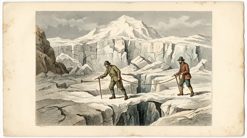
Every route to the summit is a graded mountaineering route
All routes on Talgar involve snow, ice, glacier crevasses, steep slopes and corniced ridges. Without mountaineering experience and equipment, or an experienced guide, this is not a place to go. Trekking Club counts 9 graded routes from 3A to 6A; Wikipedia counts 11 routes by the time the mountaineering camp closed.
The 3A from the Korzhenevsky Glacier is the easiest graded route.
| Route | Grade | Features |
|---|---|---|
| Main summit from the Korzhenevsky Glacier | 3A | snow and ice, slopes average 30°, 35–40° near the top; difficult sections on fixed ropes (Trekking Club; Orexca) |
| South Talgar from Middle Talgar (Baranovsky route) | 4A | slopes of 35–40° |
| From the South Talgar Glacier, descent by the Lavrov route | not stated | “laborious” but technically fairly simple, by the author of a 2025 report (Mountain News) |
| North-west face | 3B–5B | several lines of varying difficulty (Zabugorshiki) |
| West face to the South summit | up to 5B | Snesarev’s 1958 route and later ones |
On the classic route, according to Orexca, base camp goes on the Gorin Glacier, a branch of the Korzhenevsky. From there the way leads north-west up an icy gully about 150 m wide at its narrowest, and roped teams detour around crevasses. From the start of the ridge to the summit it is 3–5 hours and 2–2.5 km. Zabugorshiki puts the high camp at 4,200–4,400 m.
Time estimates vary. The ascent itself takes 3–4 days (Orexca); the whole expedition 5–9 days (Tengrinews), 7 days (Trekking Club) or 6–11 days with reserve days (Zabugorshiki). The 2025 report fits into roughly six days: the walk in to the old mountaineering camp, going up onto the glacier, an acclimatisation outing to the saddle between Talgar and Klyshtau, a summit push starting at 2 a.m., the descent with a night on the moraine, and the walk out to the cars.
Getting to the massif takes days from either side
You can approach Talgar from two main sides, and both are multi-day trips. The walking distances below cover only the approach to the glacier, not the climb.
| Approach | Starting point | On foot | Where it leads |
|---|---|---|---|
| Issyk gorge, Zharsay river, Kokbulak Pass (4,036 m) | Lake Issyk | about 32 km | Korzhenevsky Glacier, main summit |
| Middle Talgar | town of Talgar, then the reserve gate | about 18 km | former Talgar mountaineering camp, South Talgar |
| Shymbulak and the Left Talgar valley | Shymbulak resort | not stated | roundabout option to the massif (Zabugorshiki) |
The Issyk route is longer and crosses a 4,036 m pass before you reach the glacier, but it leads to the classic 3A; the Middle Talgar route is shorter and leads to South Talgar (distances by Trekking Club). The town of Talgar is about 34 km from Almaty along the Talgar highway (Welcome.kz). Lake Issyk lies roughly 40 km east of Almaty; see the Lake Issyk page for getting there.
If you choose the option via Shymbulak, note that in autumn 2026 the road to the resort is closed to cars until 30 November, and the cable cars are down for maintenance until 1 November.
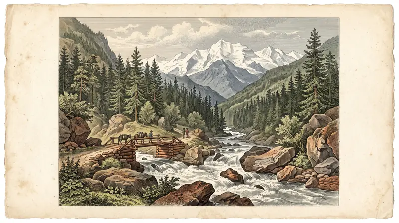
Almaty Nature Reserve: a pass is required
Talgar Peak lies entirely within the Almaty State Nature Reserve, which has stricter rules than a national park. The reserve was founded on 15 May 1931, covers 71,700 ha in the Talgar and Enbekshikazakh districts and protects 160 glaciers with a total area of 233.7 km² (Wikipedia). Operators describe an entry permit as mandatory, and Zabugorshiki warns that getting one can be difficult.
In practice, the author of a report on a summer 2025 climb paid for the stay at the reserve administration, received a receipt and a pass, and advises everyone to do the same (Mountain News). If you approach through Issyk gorge, you also pass through Ile-Alatau National Park: its fee under Order No. 232 is 0.15 MCI (Monthly Calculation Index) per pedestrian, and the fee calculator works out the amount for the current year. General rules are in our guide to permits for protected areas.
Climb from July to mid-September, walk the eco-trails from August
The mountaineering season on Talgar runs from July to the first half of September (Trekking Club). Spring is the dangerous time on the slopes: avalanches are most frequent in March and April (Orexca). In the reserve, excursions are limited in spring and summer because of encephalitis ticks and mudflow risk, and Wikipedia names August to November as the most favourable period for the eco-trails.
| Period | Climbers | Hikers on eco-trails |
|---|---|---|
| March–April | peak avalanche danger | excursions limited (ticks, mudflows) |
| July–first half of September | mountaineering season | July limited; August onwards favourable |
| September–November | outside the climbing season after mid-September | favourable period |
The climate table below is for Almaty at about 850 m. The Talgar glaciers are 3–4 km higher and much colder, so read these figures only as a guide to the seasons, not to summit conditions.
Day high, °C / Night low, °C · Rain/snow, mm
The station is in the city at 847 m; Talgar's summit is at 4,973–4,979 m, 4 km higher. We found no source for an altitude correction: the glaciers are far colder, so use the figures only for the run of the seasons.
Monthly figures
| Month | Day high, °C | Night low, °C | Rain/snow, mm |
|---|---|---|---|
| Jan | 0.5 | -8.1 | 34.7 |
| Feb | 2.7 | -6.2 | 42.6 |
| Mar | 9.9 | -0.2 | 72.4 |
| Apr | 17.8 | 6.8 | 112.4 |
| May | 22.9 | 11.5 | 98.7 |
| Jun | 27.9 | 16.4 | 59 |
| Jul | 30.5 | 18.6 | 42.9 |
| Aug | 29.7 | 17.3 | 33.5 |
| Sep | 24.5 | 12 | 27.8 |
| Oct | 16.9 | 5.3 | 49.8 |
| Nov | 8.1 | -1 | 55.3 |
| Dec | 2 | -6.1 | 44.3 |
Source: Almaty — Wikipedia (Climate data for Almaty, 1991–2020; Pogoda.ru.net, NOAA)
Hikers can see Talgar from Almaty and from the reserve’s trails
You do not have to climb anything to see Talgar. According to Informburo, the summit is clearly visible from most districts of Almaty, though many residents do not realise it. The same author picks out these viewpoints:
- the town of Talgar: one of the most impressive views, with the Talgar river foaming below and the summit rising above the spruce forest;
- Burunday and the Kuldzha highway: the massif stands out above the range;
- the road along the BAK (Big Almaty Canal);
- from far away: from beyond Kapshagay and from the Malaysary and Arkharly ranges.
From the Talgar highway itself, by Informburo, the mountains partly hide one another, so take photos from the spots above instead.
The reserve’s one-day eco-trails come closer to the massif: Left Talgar is 6.5 km, Right Talgar 10.5 km and Esik 9.6 km (Wikipedia). According to Zakon.kz (2018), they are led by a guide, the Right Talgar route has a viewpoint by the dam, and there is a nature museum at the reserve’s headquarters. These are walks, not an approach to the summit.
The main risks on Talgar are objective ones
Talgar is a serious high mountain, and experience does not make its main hazards go away.
- Rockfall. According to Orexca, in sunny weather stones come down the eastern slopes, and at other times down the western ones. In 2025, by the report’s author, a rock “the size of a small Korean car” flew past about 50 m from the tents.
- Crevasses and cornices. In the 19 years between the report author’s visits, large crevasses opened on the South Talgar Glacier. The ridge to the main summit is corniced and was crossed one person at a time.
- Avalanches. The danger peaks in March and April (Orexca).
- Glacial lakes. On 9 July 2024 access to Ile-Alatau park was limited during work to drain a moraine lake in the Left Talgar basin; the measures were meant to protect the residents of Talgar, Kendala and Aktas (Informburo). Check the news for closures before you set out.
Before any trip to the mountains, our checklist what to check before you go will help.
Near Talgar Peak
- Big Almaty Peak: a 3,680 m summit above Big Almaty Lake (BAO) that you can climb without mountaineering gear.
- Lake Issyk: the classic approach to the Korzhenevsky Glacier starts here.
- Shymbulak: the resort where the roundabout option via Left Talgar begins.
- Ile-Alatau National Park: the park that surrounds the reserve.
- Nature near Almaty: 15 day trips.
Talgar Peak: tips before you go
- Only climb with mountaineering experience or an experienced guide: the easiest route is a 3A on snow and ice.
- Arrange your Almaty Reserve pass in advance with its administration and confirm the 2026 procedure directly.
- Check closure news before you set out: in July 2024 the park shut over a glacial lake in the Left Talgar basin.
- To simply see the peak, come to Talgar town on a clear morning: the summit rises above the river and spruce forest.
More to see nearby


Frequently asked questions
How high is Talgar Peak?
How do you get to Talgar Peak?
How many days does it take to climb Talgar?
What grade are the routes on Talgar Peak?
Do you need a permit to climb Talgar?
When is the best time to climb Talgar Peak?
Where can you see Talgar Peak from?
Sources
- Талгар (пик) — Википедия
- Алматинский заповедник — Википедия
- Талгар — самая высокая вершина, видимая из Алматы — Informburo, 17.06.2017
- Экологические тропы Алматинского заповедника — Zakon.kz, 27.01.2018
- Пик Талгар — Orexca
- Горы Алматы. Все, что надо знать покорителю Заилийского Алатау — Tengrinews, 08.11.2023
- Восхождение на Талгар летом 2025 года — Mountain News
- Talgar Peak Climb — Trekking Club
- Talgar Peak Expedition — Zabugorshiki
- Peak Talgar — Welcome.kz, 30.08.2023
- Talgar (4,973m), Northwest Face; South Talgar (4,950m) — American Alpine Journal
- Tourist access to Ile-Alatau park limited — Informburo, 9 July 2024 (in Russian)
- Приказ Министра экологии и природных ресурсов РК от 02.10.2024 № 232
Read also
 Almaty Zoo in Kazakhstan: opening hours and how to visit
 Ayusai Gorge, Almaty: visitor centre and waterfall trail
 Gorelnik Gorge above Medeu: waterfalls, trail and season
 Kamenskoe Plateau above Almaty: observatory and trails
 Pervomaiskie Ponds near Almaty: location, swimming, season
 Saty village: base for the Kolsai and Kaindy lakes