Tekeli: when to go, month by month
- January: possible
- February: possible
- March: possible
- April: possible
- May: good
- June: best time
- July: best time
- August: best time
- September: best time
- October: good
- November: possible
- December: possible
Late summer and early autumn are warm and relatively dry, while spring is the wettest season and winter days stay below freezing.
Tekeli: why go
Burkhan-Bulak above Tekeli
Wikipedia calls it Kazakhstan's largest waterfall. It lies in the upper Kora gorge, and Kazakh Wikipedia gives its height as 90 m.
Tekeli gorge forests and wildlife
Spruce, birch and wild apple grow here. Kazakh Wikipedia lists maral deer, ibex, brown bear, lynx and the Semirechye newt in the gorges.
From Taldykorgan to Tekeli
The town is 40 km from Taldykorgan by Wikipedia. The rail branch has no passenger trains, so plan road transport in advance.
Tekeli's dry late summer
From July to September, days reach 21–27 °C and monthly rain drops to 38–48 mm at the 1030 m grid point, after a wet April and May.
Kunaev Street, 38 km long
Tekeli's Kunaev Street runs for about 38 km and is recognised as the longest street in Kazakhstan, by Wikipedia.
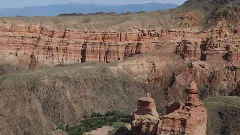
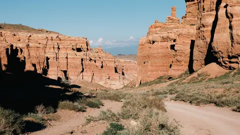
Tekeli in photos
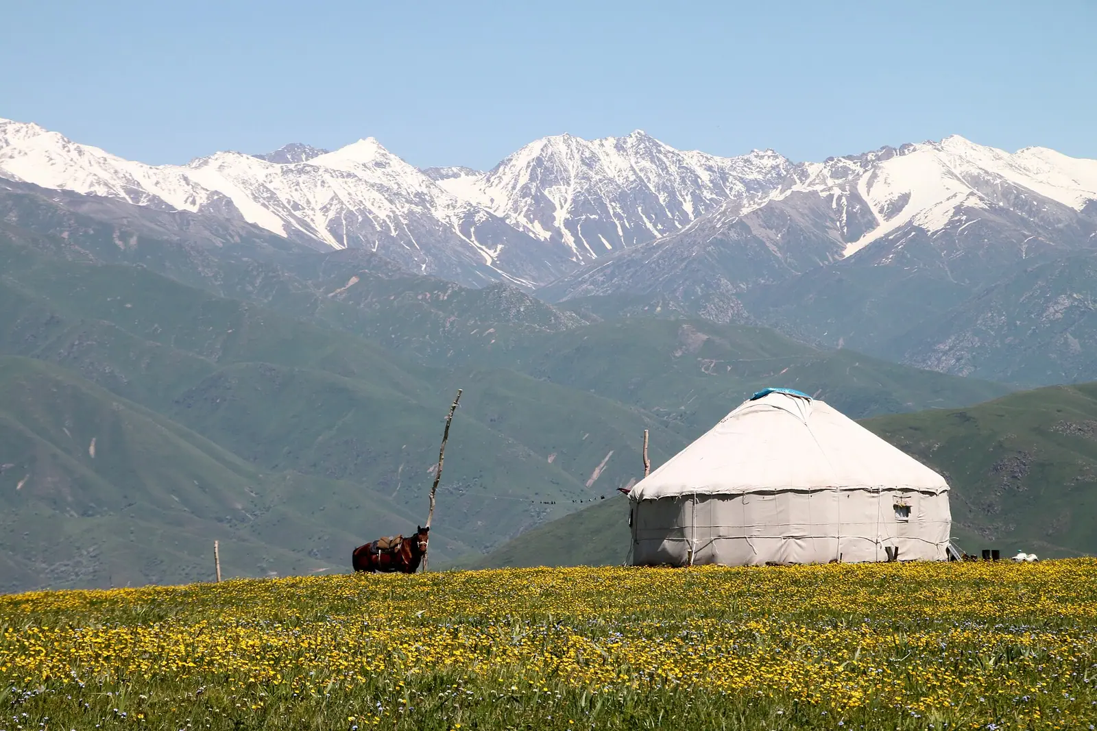
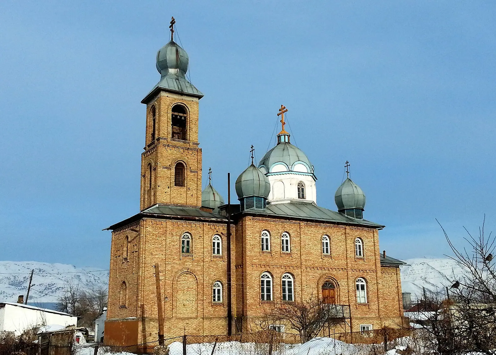
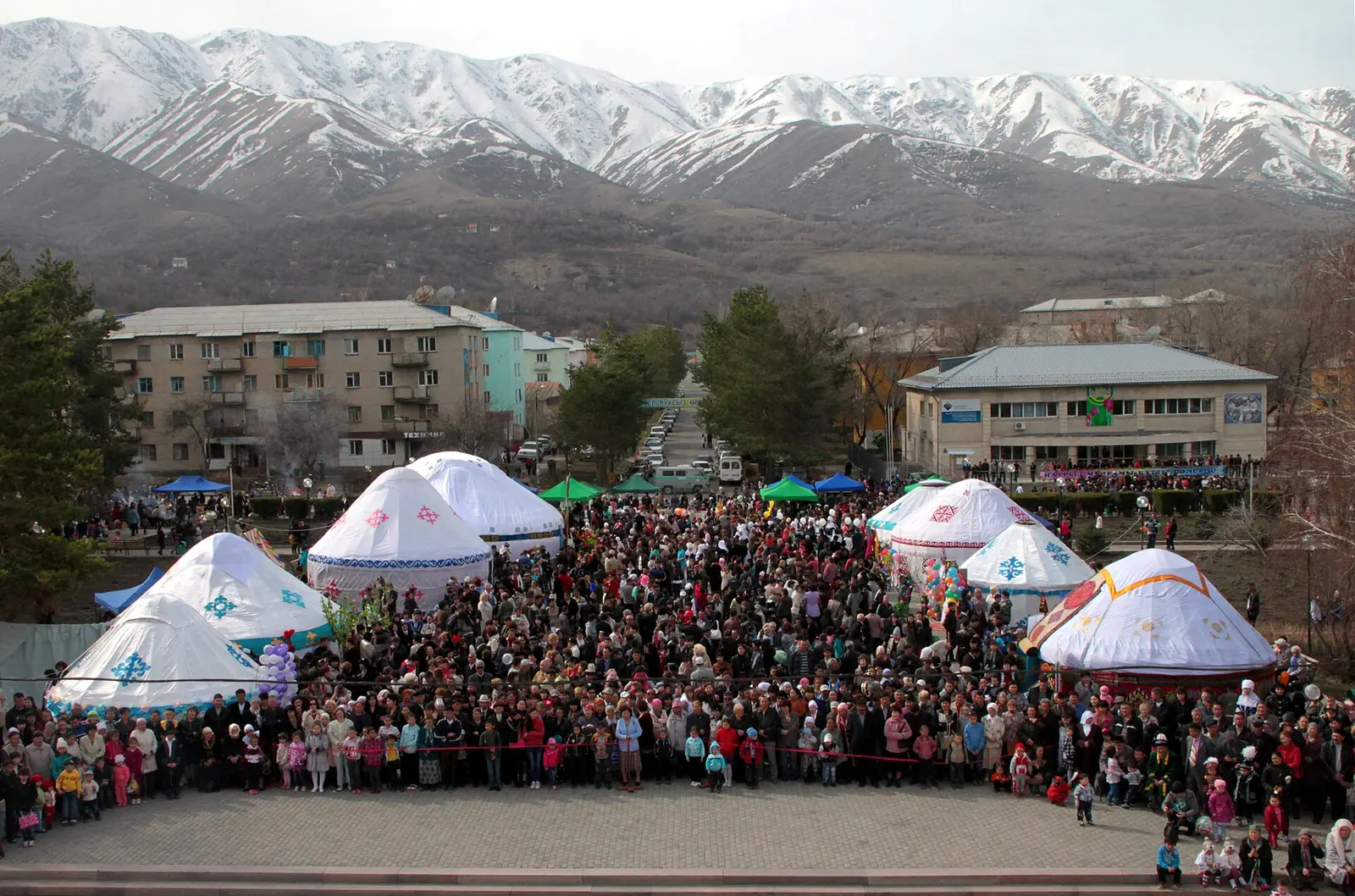
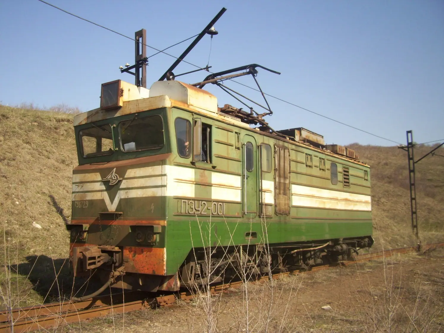
Real photos by travellers (Pexels, Unsplash, Wikimedia Commons); author and licence are given in each caption.
Tekeli is a town in Kazakhstan’s Jetisu Region, about 40 km from the regional capital Taldykorgan and 310 km from Almaty, according to Wikipedia. It sits at 950–1600 m in the foothills of the Dzungarian Alatau, at the confluence of the Kora, Chazhi and Tekelinka rivers. Above the town, the Kora gorge leads to the Burkhan-Bulak waterfall.
Where Tekeli is and what kind of trip it demands
Tekeli lies in the southeast of Kazakhstan, about 235 km in a straight line northeast of Almaty and about 35 km in a straight line from Taldykorgan. Wikipedia gives 310 km from Almaty and 40 km from Taldykorgan, which are likely road figures. From Almaty, this is not a day trip for most people. It makes more sense as a base for a few days in the Jetisu mountains, or as a stop on a longer loop through the region.
The town itself is a working post-industrial place of about 32,000–33,000 people. Wikipedia gives 31,958 and 33,074 for early 2019, depending on the language edition. Do not expect a resort town. The draw is the mountain country behind it: the upper Karatal basin, its tributary gorges and the waterfall.
| Key fact | Figure |
|---|---|
| Region | Jetisu Region |
| Elevation of the town | 950–1600 m |
| Rivers | Kora, Chazhi, Tekelinka, upper Karatal |
| Mountain range | Dzungarian Alatau (foothills) |
| Town status | City since 1952 |
| Population (2019) | 31,958–33,074 (editions differ) |
The elevation range matters for planning. The gorges lie higher than the town, so pack layers even in summer.
Burkhan-Bulak waterfall and the gorges above town
The main natural sight is Burkhan-Bulak, which Wikipedia calls the largest waterfall in Kazakhstan. It lies in the upper Kora river gorge, above Tekeli. The Kazakh-language Wikipedia gives its height as 90 m.
We could not confirm the route to the waterfall, the distance from town, the state of the road or whether a fee or permit applies. Plan this part locally.
The forests here are a mix of spruce, birch, poplar, willow, aspen, pine and wild apple, according to Kazakh Wikipedia. The same source lists wildlife for the gorges near town: the Semirechye newt, maral deer, Siberian ibex, roe deer, brown bear, badger, marmot, fox, wolf, lynx, hare and wild boar. The town’s name refers to teke, the mountain goat, once common in these gorges.
The page name pairs Tekeli with the Koksu gorge. The Koksu deposit was one of the mines worked by the Tekeli combine, and Koksu is the railway junction for the branch line to town. We could not confirm what a visitor will find in the Koksu gorge itself, or how to reach it.
A lead town with a Buddhist stone and a 38 km street
Tekeli grew around ore. Wikipedia says lead, zinc, silver, cadmium and germanium were found here in 1933. A lead-zinc combine opened in 1942 and became one of the largest in the USSR. Wikipedia states that during the Second World War it supplied the lead for every eighth bullet. Post-war housing was built by volunteers from across the Soviet Union and by Japanese prisoners of war.
The ore ran out over the decades. The combine stopped in 1996 and again in 2007. It later restarted with other raw materials, and the first pig iron came out of a new metallurgical plant in 2018. For a visitor, this means Soviet-era streets and an industrial edge rather than a tourist centre.
Several sights in town are worth a short walk:
- Kelinshektas, the Tekeli stela, which Wikipedia calls the oldest Buddhist monument in Kazakhstan. Treat it as a sacred stone.
- Rock paintings near the town, showing hunting scenes attributed to the Usun tribes. We could not confirm their exact location.
- The war memorial stela in the centre, at the confluence of the three rivers.
- Kunaev Street, about 38 km long and recognised as the longest street in Kazakhstan.
In October 2021 the town hosted an apple festival, AlmaFest. We could not confirm whether it is held every year.
The tailings: an environmental issue you should know about
Tekeli has a serious pollution problem, and Wikipedia is direct about it. A disused tailings storage site covers 69 ha near the town and the village of Karatalskoye. In dry, windy weather its dust blows, and it erodes onto the road and into the Karatal river.
A 1992 study found lead and other heavy metals above permitted levels in soils across the town. Russian Wikipedia says no clean-up measures have been taken since. The same source links the dust to health complaints among residents.
For a short visit, the practical points are simple. Avoid windy dusty days near the tailings, and be cautious with fruit and produce grown on local plots. We could not confirm current measurements, so treat the 1992 figures as dated.
Wikipedia also records an earthquake in 2009 of magnitude 6–7, which damaged about 40 buildings without injuring residents.
Weather in Tekeli and when to go
The climate figures below are ERA5 reanalysis normals for 2011–2020. They come from a grid point at 1030 m, not from a weather station.
Day high, °C / Night low, °C · Rain/snow, mm
A computed reanalysis normal for these coordinates, not weather station records.
Monthly figures
| Month | Day high, °C | Night low, °C | Rain/snow, mm |
|---|---|---|---|
| Jan | -3.8 | -12.7 | 37.1 |
| Feb | 0.1 | -9.9 | 32.1 |
| Mar | 7.8 | -2.4 | 45.7 |
| Apr | 15.8 | 3.5 | 81 |
| May | 20 | 7.5 | 90.2 |
| Jun | 23.8 | 12.2 | 71.8 |
| Jul | 26.4 | 14.2 | 47 |
| Aug | 26 | 12.7 | 34.9 |
| Sep | 21.4 | 7.7 | 42.1 |
| Oct | 14.4 | 1.4 | 55.6 |
| Nov | 4.3 | -6.3 | 72.2 |
| Dec | -1.8 | -10.6 | 42.8 |
Summer is warm but not hot. July averages 26.4 °C by day and 14.2 °C at night, and August is similar. Winter is properly cold: January days stay below freezing at −3.8 °C, with nights near −13 °C. The wettest months are April and May, at 88–96 mm each, with a second peak in November. Wikipedia notes that spring is the wettest season, and that Tekeli is wetter and milder than Taldykorgan.
The gorges and the waterfall lie well above the 1030 m grid point, so expect cooler air and more rain there than these numbers show. Kazakh Wikipedia gives annual precipitation as 650–1900 mm, a wide range across elevations. The grid point totals about 700 mm.
| Period | What to expect |
|---|---|
| Dec–Feb | Freezing days, frosty nights; gorges hard going |
| Mar–May | Thaw and the wettest stretch; muddy trails, high rivers |
| Jun–Sep | Warm days, cool nights; drier than spring from July to September |
| Oct–Nov | Cooling fast; November turns wet again |
For walking in the gorges, July to September is the safest choice. June is green but still follows the wet spring.
Getting to Tekeli without a car
We could not confirm any public transport to Tekeli. A railway branch from Koksu station on the Semey–Almaty line ends in the town, but Wikipedia states there is no passenger service. The narrow-gauge electric railway that once ran here was dismantled in the early 2000s.
Taldykorgan, about 35 km in a straight line away, is the obvious gateway. Check locally how to cover the last stretch, and how to go on from Tekeli into the gorges. A visitor without Russian or Kazakh should arrange the gorge part in advance, because no transport to Burkhan-Bulak could be confirmed.
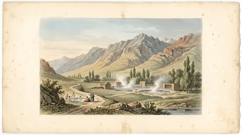
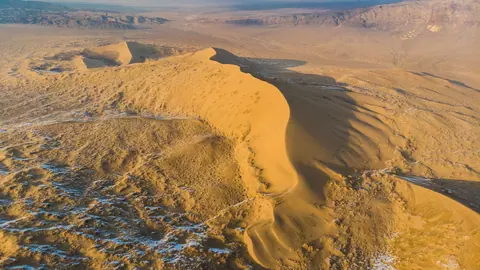
If you are building a Jetisu loop, the radon springs at Zharkent-Arasan are about 101 km in a straight line away. The Singing Dune in Altyn-Emel is about 112 km away. Further south, Kapshagay and Konaev and Charyn Canyon sit on the Almaty side.
- The route, distance, road condition and any fee or permit for reaching Burkhan-Bulak waterfall
- Buses or shared taxis between Taldykorgan or Almaty and Tekeli
- What a visitor can see in the Koksu gorge, and how to reach it
- The exact locations of Kelinshektas and the rock paintings
- Current pollution measurements near the tailings site (the cited study dates from 1992)
Tekeli: tips before you go
- Aim for July to September: rain falls to 38–48 mm a month, against 88–96 mm in April and May.
- Pack a warm layer even in summer: July nights average 14.6 °C at 1030 m, and the gorges lie higher.
- Arrange transport from Taldykorgan before you arrive: the rail branch to Tekeli carries no passengers.
- Avoid windy dusty days near the 69 ha tailings site, which blows heavy-metal dust onto the town.
More to see nearby


Frequently asked questions
What is the weather like in Tekeli?
How far is Tekeli from Almaty and Taldykorgan?
How high is the Burkhan-Bulak waterfall?
Can you reach Tekeli by train?
Is Tekeli polluted?
Sources
Read also
 Almaty Zoo in Kazakhstan: opening hours and how to visit
 Ayusai Gorge, Almaty: visitor centre and waterfall trail
 Gorelnik Gorge above Medeu: waterfalls, trail and season
 Kamenskoe Plateau above Almaty: observatory and trails
 Pervomaiskie Ponds near Almaty: location, swimming, season
 Saty village: base for the Kolsai and Kaindy lakes