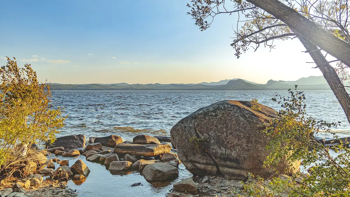
Lake Shchuchye, the deepest of the Kokshetau lakes, and what a trip there involves: when to go, month by month
- January: possible
- February: possible
- March: off season
- April: possible
- May: good
- June: best time
- July: best time
- August: best time
- September: good
- October: possible
- November: off season
- December: possible
Highs reach 22–23 °C only from June to August, while from November to March they stay below freezing.
Lake Shchuchye, the deepest of the Kokshetau lakes, and what a trip there involves: why go
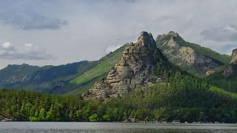
Lake Shchuchye's long forested basin
About 7 km long and 3–3.8 km wide, stretched north-west to south-east between pine-covered hills, with a shoreline of about 22 km.
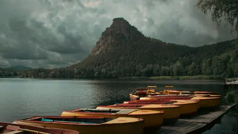
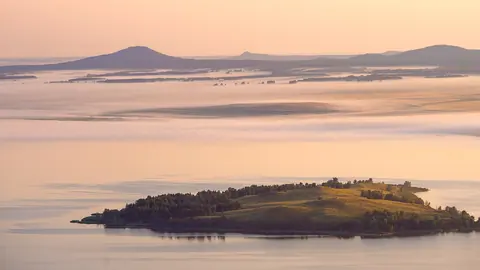
Pine forest and rocky islets
Forest reaches the water along most of the shore. There are three small rocky islets off the south-west and one more in the north-west.
A lake you can walk to from town
Shchuchinsk touches the south-western shore, so the water is reachable without a car once you are there. Kazakh Wikipedia puts the lake 2.5 km north of the town.
Short summer at Shchuchye
July averages highs near 23 °C and nights near 14 °C. It is also the wettest month, with about 96 mm of rain, so pack for showers.
Spring-fed and drinking water
Since about 1920 the lake has had no outflow. Springs and rain feed it, and Shchuchinsk draws its water supply from it.
Lake Shchuchye, the deepest of the Kokshetau lakes, and what a trip there involves in photos
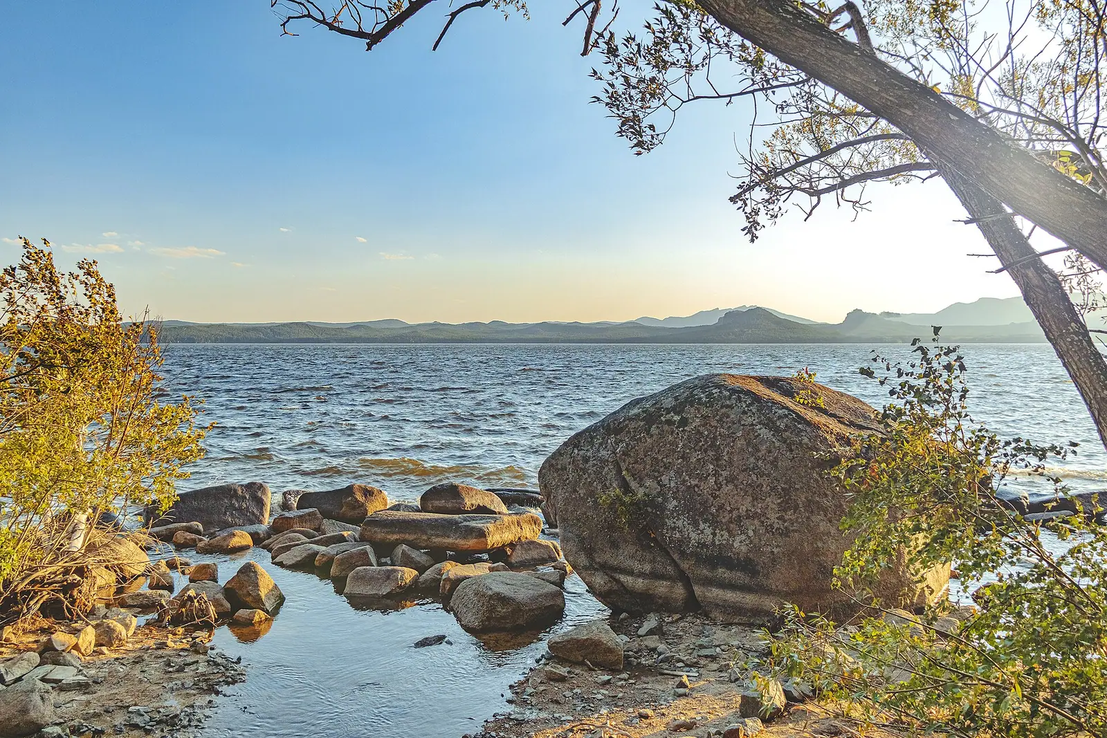
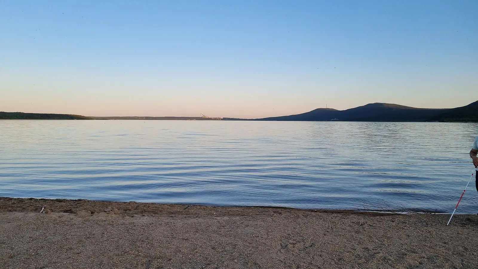
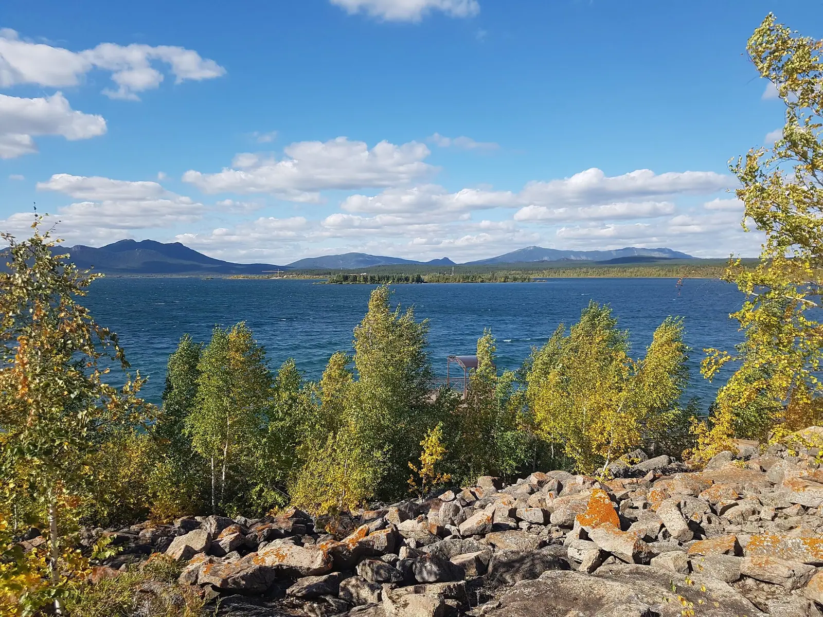
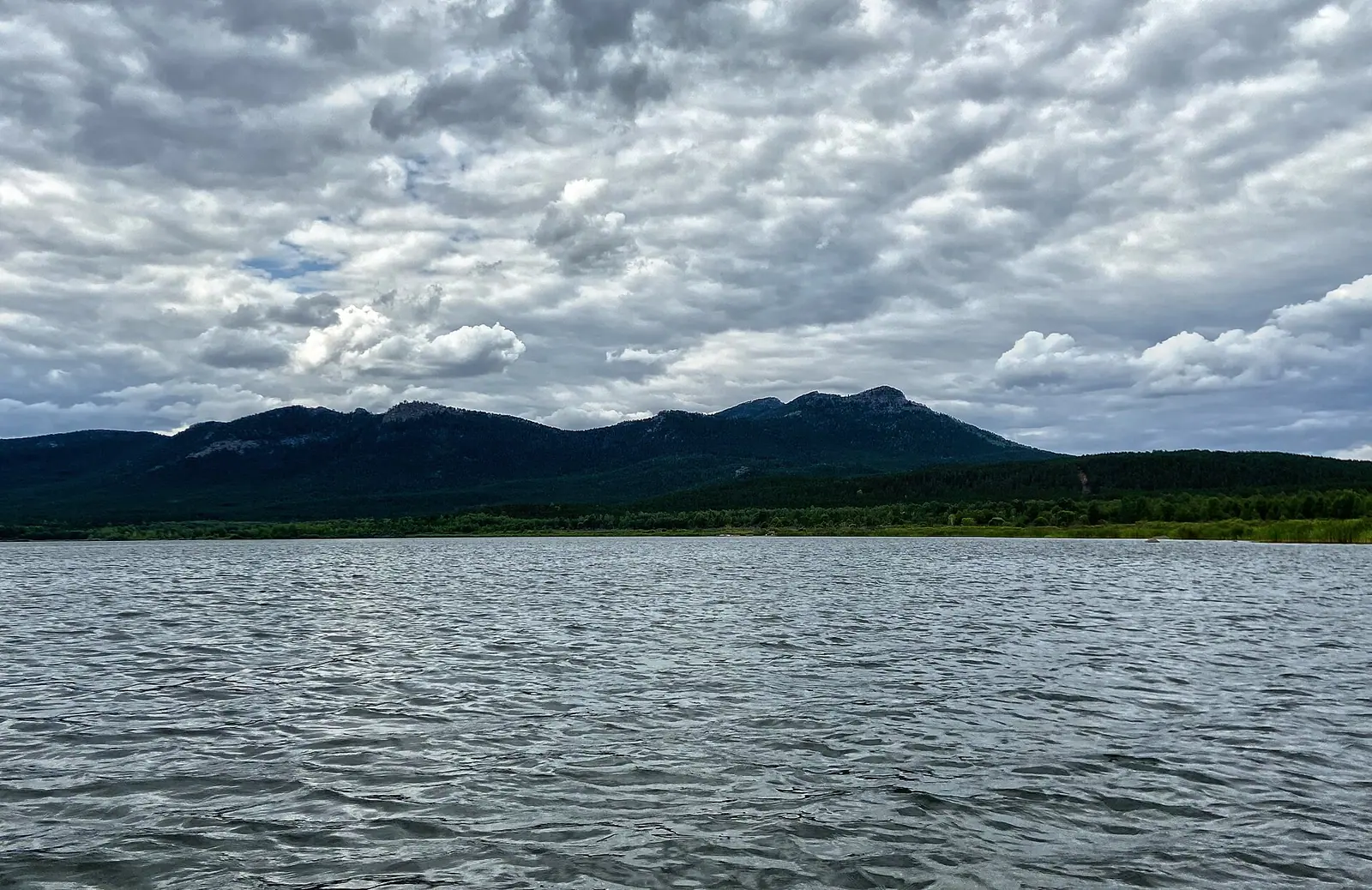
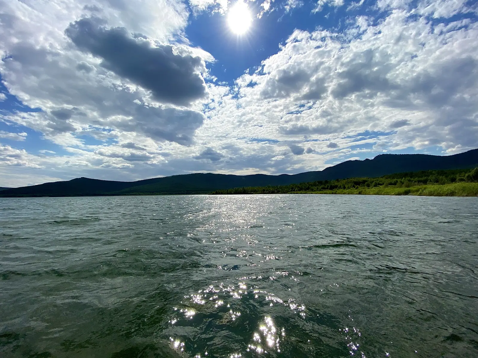
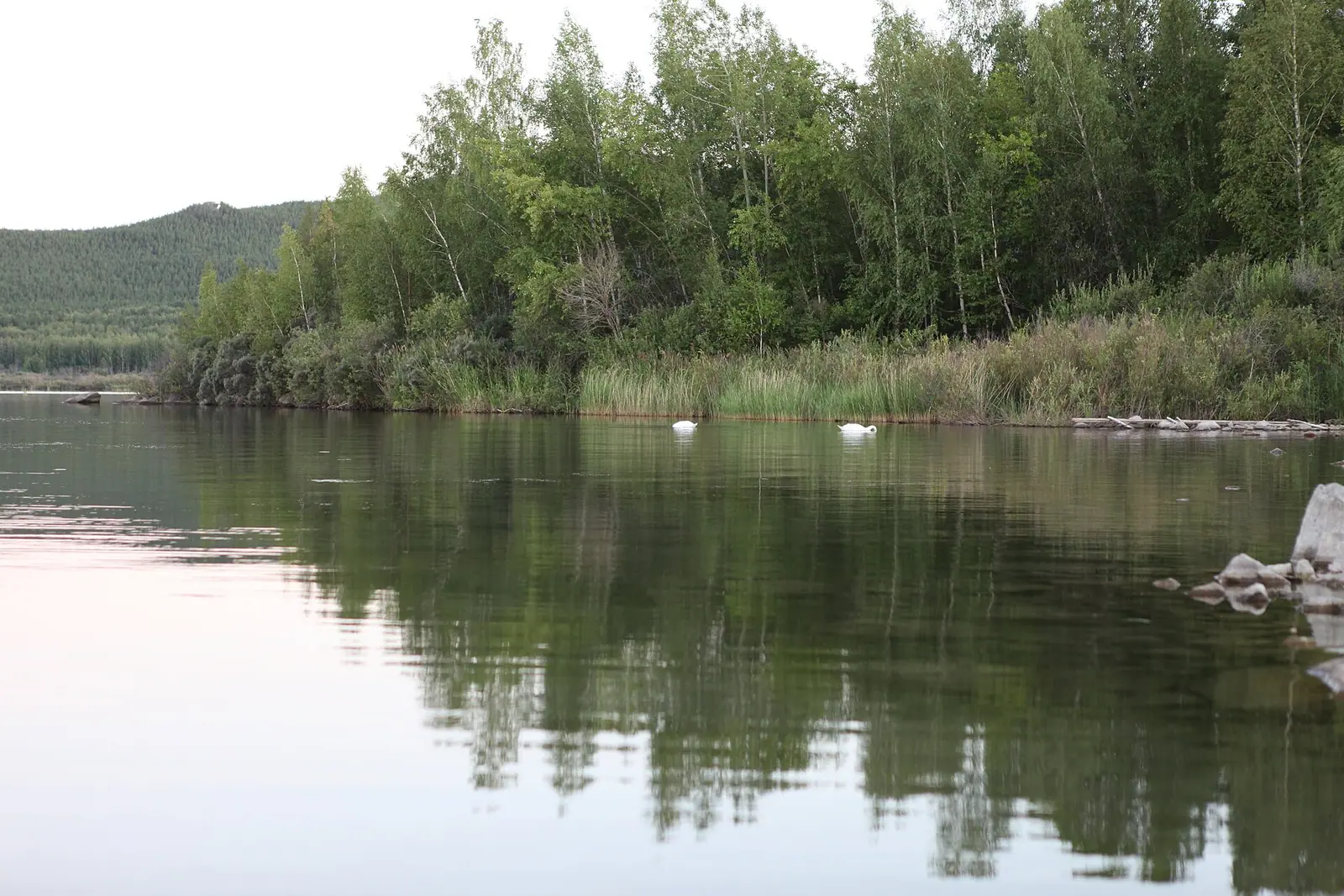
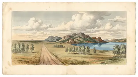
Real photos by travellers (Pexels, Unsplash, Wikimedia Commons); author and licence are given in each caption.
Lake Shchuchye (Kazakh: Shortandy) is a forest lake in Akmola Region of northern Kazakhstan, right on the northern edge of the town of Shchuchinsk and part of Burabay National Park. It is the deepest lake in the Kokshetau group, about 7 km long, and sits roughly 220 km in a straight line north of Astana. It suits a summer trip from the capital combined with nearby Burabay. Plan transport and stays separately before you go.
Where Lake Shchuchye is and what kind of trip it is
The lake lies in Burabay District of Akmola Region, about 220 km in a straight line from Astana and 63 km from Kokshetau. Almaty is at the other end of the country, so this is a trip from the capital or from the north, not from the south. The town of Shchuchinsk touches the south-western shore. Kazakh Wikipedia puts the lake about 2.5 km north of the town.
The resort settlement of Burabay (Borovoye) is close by. Russian Wikipedia gives 12 km, English Wikipedia 15 km to the north-north-east. In practice, Shchuchye and Burabay are one destination, and most travellers will see them together. Shchuchye is the lake you can reach on foot from a town, with forest on almost every side.
The lake in numbers: sources disagree on size and depth
All sources agree that Shchuchye is the deepest lake of the Kokshetau group. They differ on almost every measurement, so treat the figures below as ranges.
| Measure | Russian Wikipedia | Kazakh Wikipedia |
|---|---|---|
| Length | 7.5 km (or 7.1 km) | 7.2 km |
| Width | 3 km (or 3.8 km) | 3.7 km |
| Area | 19.6 km² | 18.6 km² |
| Maximum depth | 40 m (or 31 m) | not given |
| Mean depth | 18.54 m | 14.1 m |
| Elevation | 395.2 m | 397.5 m |
| Shoreline | 22 km | not given |
For a visitor the gaps hardly matter. A 22 km shoreline is too long for a casual stroll. If you want to walk around the lake, plan it as a full day and check first whether a continuous path exists. We could not confirm that one does.
Forest, islets and fish
The lake stretches from north-west to south-east between low hills covered in pine forest. The forest reaches the water along most of the shore. There are three small rocky islets off the south-western shore and one in the north-west. The bottom is mostly mud, with a sandy zone in the south-west. Kazakh Wikipedia describes the eastern shore as gently sloping and sandy.
The name comes from the pike (shchuka in Russian) that were plentiful here. The fish listed in the sources include pike, perch, roach, tench and crucian carp. European cisco and peled were introduced. Crayfish also live in the lake. The lake is fished, but we could not confirm the rules for visitors inside the national park.
Until 1920 the Kylshakty river flowed out of the lake. After the water level dropped, the lake lost its outflow. Today it is fed by rain and many underground springs, and its water is fresh: mineralisation is 300 to 600 mg/l. Shchuchinsk takes its water supply from the lake, so it is worth respecting any shore restrictions you find.
When to go: a short summer and a long frozen winter
June to August is the window for a lake trip. The rest of the year is cold, and from November to March it is deep winter. The figures below are 2011–2020 normals from the ERA5 reanalysis for a grid point at 389 m, close to the lake’s own elevation. They come from a model, not from a weather station.
Day high, °C / Night low, °C · Rain/snow, mm
A computed reanalysis normal for these coordinates, not weather station records.
Monthly figures
| Month | Day high, °C | Night low, °C | Rain/snow, mm |
|---|---|---|---|
| Jan | -12.7 | -19.8 | 11.7 |
| Feb | -10.7 | -17.9 | 10.1 |
| Mar | -2.6 | -10.1 | 18.9 |
| Apr | 10.2 | 0.4 | 34.3 |
| May | 18 | 5.5 | 39.4 |
| Jun | 22.3 | 11.1 | 56 |
| Jul | 23.2 | 13 | 92.7 |
| Aug | 22.4 | 11.2 | 57.4 |
| Sep | 15.9 | 5.6 | 38.3 |
| Oct | 6.8 | -1.1 | 37.5 |
| Nov | -4.1 | -10.1 | 21.4 |
| Dec | -9.9 | -16.6 | 17.3 |
July is the warmest month, with average highs around 23 °C and nights around 13 °C. June and August are only a degree cooler. That is pleasant for walking but mild for swimming. The grid point may fall over the water, so conditions on land may differ from these figures.
July is also the wettest month, at about 93 mm, so expect showers in high summer. May and September have highs of 16–18 °C and nights of 6–6 °C, which suits forest walks more than beach days. From November to March daytime highs stay below freezing, and January averages −13 °C by day and −20 °C at night.
| Period | Daytime high | What to expect |
|---|---|---|
| Jun–Aug | 22–23 °C | Lake season; July has the most rain |
| May, Sep | 15–17 °C | Cool, good for walking; cold nights |
| Apr, Oct | 6–10 °C | Nights around freezing |
| Nov–Mar | −12 to −1 °C | Hard frost; winter-only trip |
Getting there without a car: what we could not confirm
We could not confirm bus or train schedules, journey times or road conditions from Astana or Kokshetau to Shchuchinsk. Check them locally before you go. The useful fact is that the lake borders a town. Once you reach Shchuchinsk, the shore is within walking distance.
If you do not speak Russian or Kazakh, arrange transport and a place to stay in advance. We could not confirm the national park’s entry rules or fees either.
For a second lake region in the same part of the country, Zerenda lies about 73 km in a straight line away near Kokshetau. For a very different kind of lake trip, see Lake Balkhash.
Shchuchinsk: the town named after the lake
In 1850 a Cossack settlement called Shchuchinskaya was founded on the shore and named after the lake. It later became the town of Shchuchinsk. The town and the lake share a name in Russian, and the lake’s old Russian name was Shchuchinskoye. On Kazakh signs and maps, look for Shortandy as well as Shchuchye.
- Bus or train options, schedules and travel time from Astana or Kokshetau to Shchuchinsk
- Burabay National Park entry rules and fees for Lake Shchuchye
- Whether swimming is allowed, and where the public beaches are
- Fishing permit rules for visitors
- Whether a continuous path runs around the 22 km shoreline
Lake Shchuchye, the deepest of the Kokshetau lakes, and what a trip there involves: tips before you go
- Look for both names on maps and signs: Shchuchye in Russian and Shortandy in Kazakh.
- Combine the lake with Burabay, which is 12–15 km away depending on the source, since both lie in the same national park.
- Pack a rain layer for July: it is the wettest month, with about 96 mm of rain on average.
- In May and September nights average 6–7 °C, so bring warm clothes even if the days feel mild.