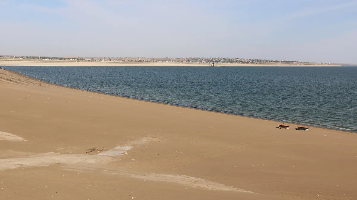
Shardara Reservoir: when to go, month by month
- January: off season
- February: off season
- March: possible
- April: good
- May: best time
- June: good
- July: possible
- August: possible
- September: best time
- October: good
- November: possible
- December: off season
May and September are warm and dry, while July and August average about 35 °C by day and winter is cool and wetter.
Shardara Reservoir: why go
Open water of Shardara Reservoir
A reservoir about 80 km long and up to 25 km wide on the Syr Darya, with a mean depth of only about 6.3 m and a maximum of 25–26 m.
The flood that made Aydarkul
In 1969–1970 about 21 km³ of water was released from Shardara into the Arnasay lowland, creating Aydarkul, a lake in the Arnasay lowland.
A long drive south from Shymkent
Shymkent is about 183 km away in a straight line, and Saryagash about 102 km. We could not confirm any public transport to the reservoir.
Shardara's rainless summer
From June to September, monthly rainfall is under 7 mm, and July highs average about 35 °C.
Water that feeds rice fields
The reservoir irrigates about 394,000 hectares, including about 105,000 hectares of rice, through the Kyzylkum Canal and other channels.
Shardara Reservoir in photos
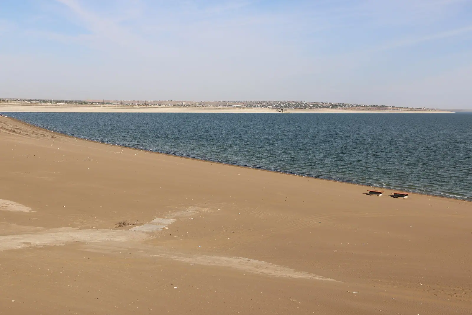
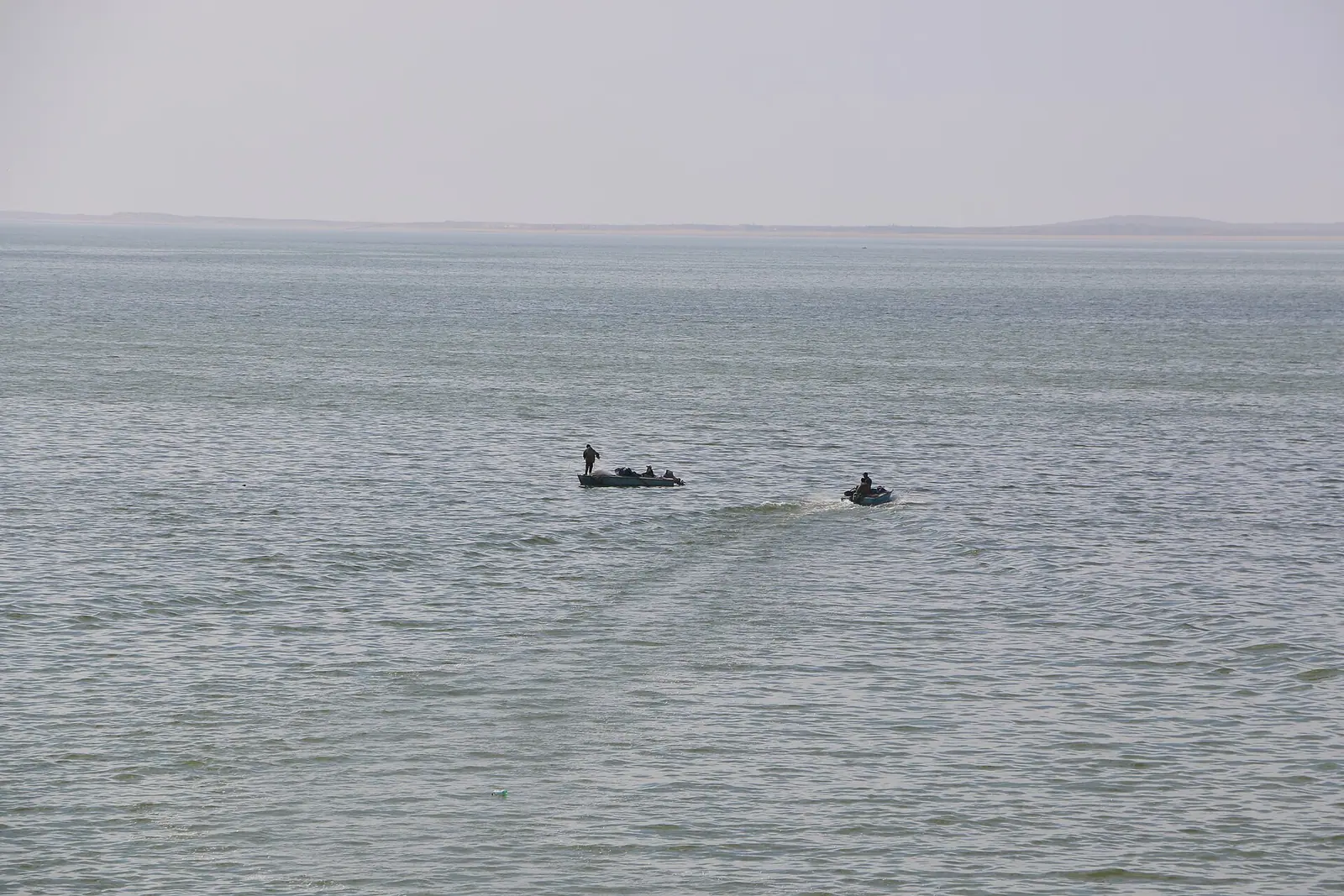
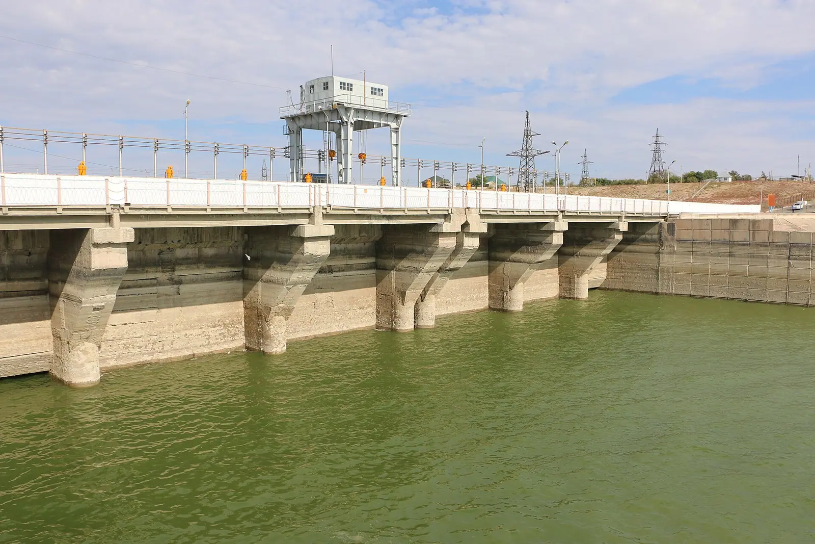
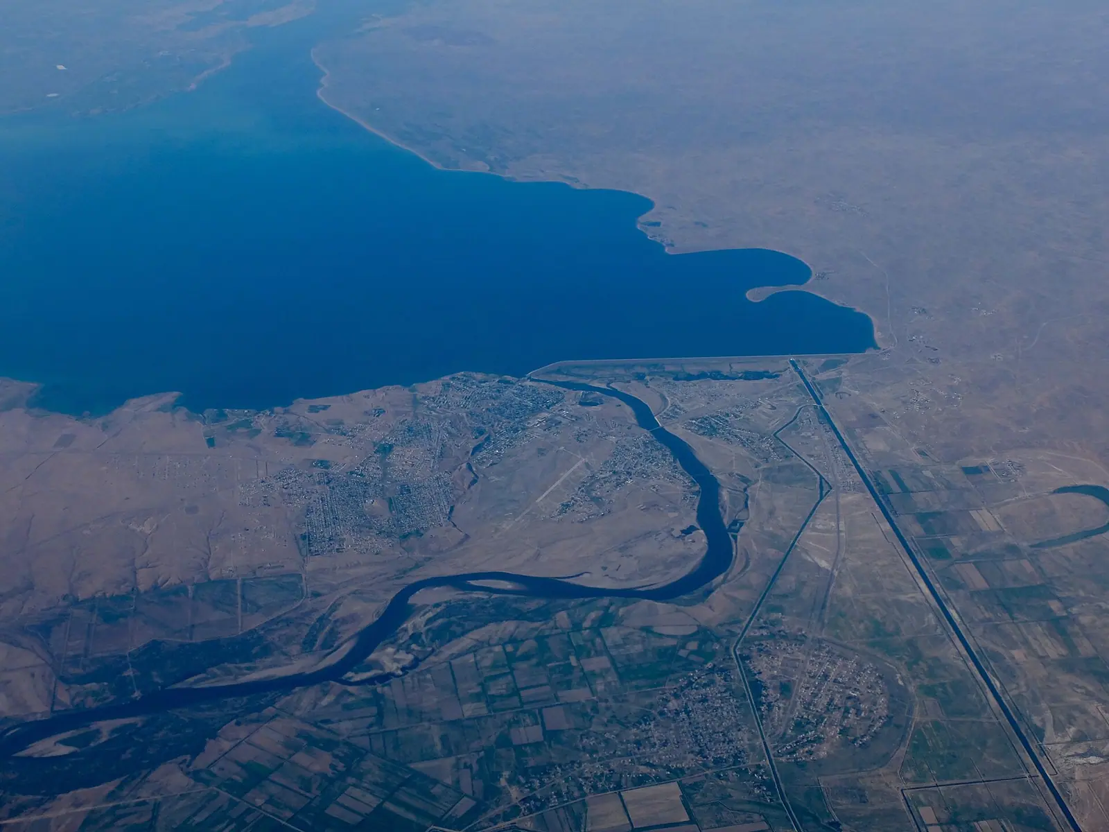
Real photos by travellers (Pexels, Unsplash, Wikimedia Commons); author and licence are given in each caption.
Shardara Reservoir is a large artificial lake on the Syr Darya in Turkestan Region, in the far south of Kazakhstan on the border with Uzbekistan. It was built in 1966 and is the country’s third-largest reservoir by area, about 80 km long. This is a trip for travellers who want open water and desert heat, not a place with confirmed visitor infrastructure.
Where Shardara is and what kind of trip it demands
Shardara sits at the southern tip of Kazakhstan, on the border with Uzbekistan. The nearest large city on our list is Shymkent, about 183 km in a straight line. Turkistan is about 234 km away, and the spa town of Saryagash is about 102 km. These are straight-line figures, and the road distance will be longer.
The reservoir spreads over parts of Shardara, Maktaaral and Saryagash districts. The town of Shardara takes its water from the reservoir, and the dam carries the Shardara hydropower station. We could not confirm any public transport schedule, so plan on a car or a hired driver. Without Russian or Kazakh, arrange the transfer before you leave Shymkent.
The reservoir in numbers, and where the figures disagree
The Russian and Kazakh Wikipedia articles give different sizes, so treat every figure below as approximate. The gap probably reflects different water levels or dates of measurement, but neither source explains it.
| Measure | Russian Wikipedia | Kazakh Wikipedia |
|---|---|---|
| Built / filled | built 1966 | basin filled 1968 |
| Area | 783 km² | 900 km² |
| Length | 80 km | 80–100 km |
| Width | 25 km | 20–25 km |
| Total volume | 5.7 km³ | 5.2 km³ |
| Dam height | not given | 24 m |
| Depth | not given | max 25–26 m, mean 6.3 m |
| Elevation | 252 m | not given |
For a visitor, the key point is that this is a broad, mostly shallow sheet of water with an average depth of about 6 m. The reservoir feeds the Kyzylkum Canal and irrigates about 394,000 hectares, including about 105,000 hectares of rice. In dry years it can be drawn down far below its normal level, and the Russian source says that at about 0.5 km³ only mud remains. The shoreline you see depends on the year.
A reservoir that created a lake downstream
Shardara’s most unusual story happened downstream. During a heavy flood in 1969, the turbines could not pass enough water, so the sluices were opened. From February 1969 to February 1970, about 21 km³ of water, almost 60% of the Syr Darya’s annual flow, went into the Arnasay lowland.
The result was Aydarkul, a lake that kept receiving overflow from Shardara in the years that followed. Between 1993 and 2001 almost 30 km³ more was released, and another 7 km³ in 2002–2003. The source links these larger releases to the Toktogul reservoir upstream switching to power generation, with bigger winter flows. By the 2000s, Aydarkul held about 10.5 times the usable capacity of Shardara itself, making it the second-largest lake in the region after the shrinking Aral Sea.
When to go: very hot, dry summers and mild, damp winters
The months that suit most visitors are May and September. Daytime highs then are in the high 20s °C and there is very little rain.
Day high, °C / Night low, °C · Rain/snow, mm
A computed reanalysis normal for these coordinates, not weather station records.
Monthly figures
| Month | Day high, °C | Night low, °C | Rain/snow, mm |
|---|---|---|---|
| Jan | 5 | -0.3 | 33.2 |
| Feb | 6.2 | -0.3 | 43.5 |
| Mar | 14.3 | 6.7 | 47.2 |
| Apr | 21.9 | 13.4 | 40.1 |
| May | 29.4 | 19.7 | 16.8 |
| Jun | 33.8 | 23.9 | 8.7 |
| Jul | 35.7 | 25.6 | 2 |
| Aug | 33.7 | 23.7 | 2.8 |
| Sep | 27.9 | 18.2 | 1.7 |
| Oct | 19.4 | 11.2 | 17.4 |
| Nov | 9.9 | 3.7 | 30.2 |
| Dec | 5 | -0.1 | 20.9 |
These are computed ERA5 reanalysis normals for 2011–2020 at a grid point at 249 m, close to the reservoir’s own 252 m. The figures are for a grid point and may differ from conditions on the shore. Even so, July averages about 36 °C by day and 26 °C at night, with almost no rain from June to September. Winter is mild for Kazakhstan, with highs around 5 °C and nights just below freezing. The source says the reservoir does not freeze because it lies so far south. March and April are the wettest months, at roughly 40–47 mm each.
| Period | Day / night | What it means |
|---|---|---|
| Dec–Feb | about 5 °C / −1 °C | Cool and wetter |
| Mar–Apr | 14–21 °C / 6–13 °C | Mild but the rainiest stretch |
| May | about 29 °C / 19 °C | Warm and drying out; a good choice |
| Jun–Aug | 33–35 °C / 23–25 °C | Very hot and almost rainless; plan around midday |
| Sep | about 27 °C / 18 °C | Warm and dry; a good choice |
| Oct–Nov | 19–10 °C / 10–3 °C | Cooling quickly, rain returns |
Pairing Shardara with the Syr Darya heritage sites
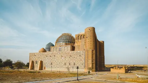
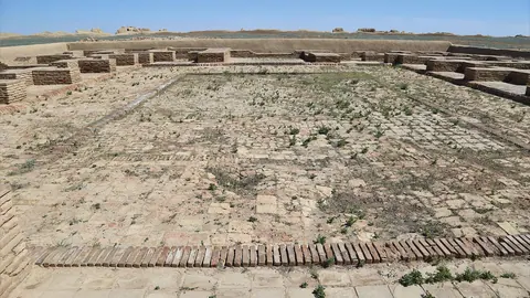
Few people will travel this far for the reservoir alone. It makes more sense as a detour on a route along the Syr Darya. About 185 km in a straight line are the ruins of Otrar and the mausoleum of Arystan Bab. Further on is Turkistan, with the Khoja Ahmed Yasawi mausoleum, about 234 km away, and the ruined city of Sauran.
If you prefer a shorter trip, Saryagash is the closest page-listed place, at about 102 km. Each of these sites needs its own day. A loop that includes Shardara means several days of driving in a region where summer midday heat is a real constraint.
A table by area and volume is on the page about reservoirs in Kazakhstan.
- Whether any part of the shore near the Uzbek border needs a permit or has restricted access
- Road route, road condition and any public transport from Shymkent or Saryagash
- Whether there are developed beaches, and what the water quality is
- Places to stay and eat in or near Shardara town
- This year’s water level and how far the shoreline has retreated
Shardara Reservoir: tips before you go
- Aim for May or September, when highs are near 27–29 °C and it is dry. July averages about 35 °C.
- In summer, carry more water than you think you need: June to September brings almost no rain, and from June to August nights stay above 23 °C.
- Water levels swing a lot in dry years, so ask locally about the shoreline before you count on a swim or a lakeside walk.
- Combine the trip with Otrar and Arystan Bab, about 185 km away in a straight line, rather than making a single-purpose drive.
More to see nearby
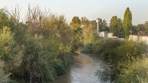
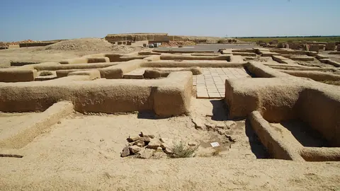
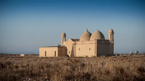


Frequently asked questions
How far is Shardara from Shymkent?
What is the weather like in Shardara?
Does Shardara Reservoir freeze in winter?
Is there a beach at Shardara?
Sources
Read also
 Almaty Zoo in Kazakhstan: opening hours and how to visit
 Ayusai Gorge, Almaty: visitor centre and waterfall trail
 Gorelnik Gorge above Medeu: waterfalls, trail and season
 Kamenskoe Plateau above Almaty: observatory and trails
 Pervomaiskie Ponds near Almaty: location, swimming, season
 Saty village: base for the Kolsai and Kaindy lakes