Lake Shalkar in North Kazakhstan: a brackish lake with a birch-lined shore near Kokshetau
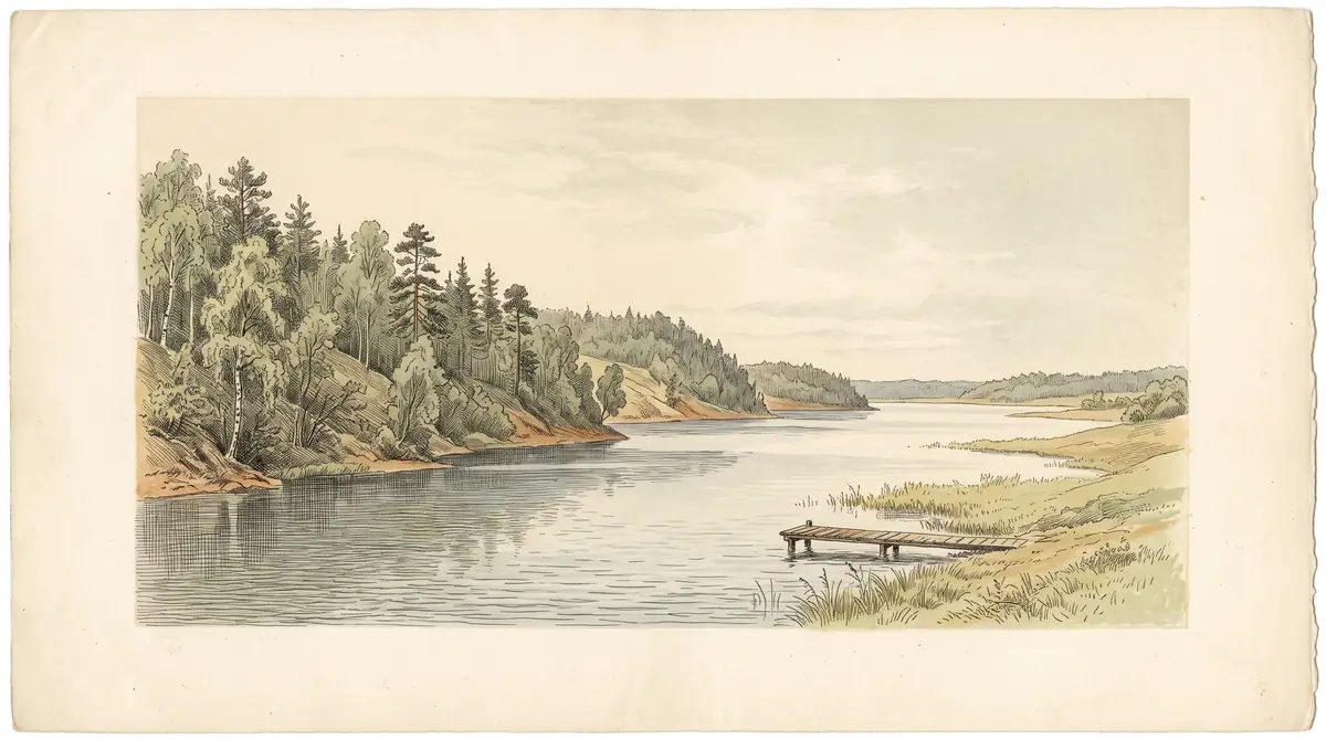
Lake Shalkar is a long, shallow, slightly salty lake in the Kokshetau lake district, with steep wooded banks on the south side and resorts along the shore. It suits a summer stay in the north rather than a quick detour.
Lake Shalkar in North Kazakhstan: when to go, month by month
- January: possible
- February: possible
- March: off season
- April: off season
- May: possible
- June: best time
- July: best time
- August: best time
- September: good
- October: possible
- November: off season
- December: possible
Only June to August bring warm days with highs above 20 °C, while from November to March average daytime temperatures stay below freezing.
Lake Shalkar in North Kazakhstan: why go
The open water of Lake Shalkar
An elongated lake about 15 km long, with a cove at its eastern end whose entrance is only 164 m wide and three islets near the eastern shore.
Shalkar's wooded south shore
Banks up to 8 m high on the southern side, backed by birch and aspen woods with sea buckthorn, while the rest of the shore is open and gently sloping.
A lake district near Kokshetau
About 68 km in a straight line from Kokshetau, with Saumalkol 10 km, Imantau and Ulken Koskol 15 km and Zhamantuz 20 km from the lake.
A short northern summer
July highs average about 23 °C with nights near 14-15 °C, but July is also the wettest month at around 92 mm of precipitation.
Shalkar gets saltier in summer
Mineral content is 3.5-4.0 g/l after the spring flood and climbs to 4.5-5.0 g/l in summer.
Lake Shalkar in North Kazakhstan is a slightly brackish lake in Aiyrtau District, part of the Kokshetau Lakes group and of Kokshetau National Park. It lies about 68 km in a straight line from Kokshetau and about 309 km from Astana. Expect a summer lake stay: a swim, a walk in the birch woods on the south shore, and quiet, with resorts on the shore.
Where Lake Shalkar is and which Shalkar this page covers
This page covers the Shalkar in Aiyrtau District of North Kazakhstan Region, in the far north of the country. Shalkar means “spacious” in Kazakh and the name turns up across the whole country, so check the region before you plan around a map pin or a booking.
The lake sits in the western part of the Kokshetau Lakes. Aiyrtau village lies a little south of its southwestern tip, and Shalkar village lies to the southeast of the eastern end, about 7 km from the shore. Other lakes are close: Saumalkol about 10 km to the northwest, Imantau and Ulken Koskol about 15 km away, Zhamantuz about 20 km to the west.
| From | Straight-line distance |
|---|---|
| Kokshetau | about 68 km |
| Petropavl | about 192 km |
| Astana | about 309 km |
| Kostanay | about 318 km |
These are straight-line figures, so road distances will be longer. Almaty is on the other side of the country.
What the lake is like: shallow, brackish, open on most sides
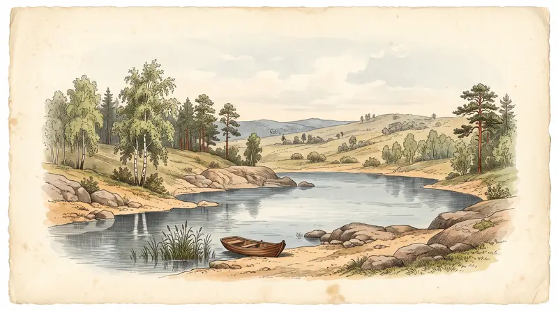
Shalkar is an elongated lake stretching east-northeast to west-southwest, with a cove at the eastern end whose entrance is only 164 m wide. The bottom is flat, sandy and rocky, slightly silty near the shore. Three small islets lie near the eastern shore.
The southern shore is the scenic side: banks up to 8 m high, backed by birch and aspen woods with sea buckthorn among the shrubs. Elsewhere the shoreline is open and gently sloping, with banks of 3-4 m according to Kazakh Wikipedia.
The figures for the lake’s size differ between sources, so treat them as a range.
| Measure | Figure |
|---|---|
| Surface area | 29.6 km² (Russian Wikipedia) or 35.5 km² (Kazakh Wikipedia) |
| Length | 15 km |
| Average depth | 5.34 m |
| Maximum depth | 11 m |
| Water volume | 0.158 km³ or 0.267 km³, depending on the source |
| Elevation | 309.7 m above sea level |
| Salinity | 3.5-4.0 g/l after the spring flood, 4.5-5.0 g/l in summer |
For a swimmer this means water that is noticeably but mildly salty, getting a little saltier as summer goes on. Russian Wikipedia credits the water with a healing effect from its low salt content; we could not confirm any medical basis for that.
Rivers, flooding and a falling water level
The lake swells strongly in spring, when the Koi-Bagir river pours in and floods wide meadows along the northern shore. Sources disagree on the details: English Wikipedia places the Koi-Bagir inflow on the northwestern side and calls the Tyun-Tyugur the lake’s outflow to the south, while Russian Wikipedia calls Shalkar endorheic and says the Tyun-Tyugur flows into the southwestern end.
Kazakh Wikipedia lists five small rivers feeding the lake, plus rain and groundwater, and a yearly level swing of 0.5-0.6 m. It also notes that the level fell gradually between 1930 and 1960. In practice, a late-spring visit may find soggy, flooded meadows on the north side, while the wooded south shore stays high.
Fish and fishing
Only perch is native to the lake; least cisco, peled, carp, Prussian carp and crucian carp were all introduced. The water is also used for livestock and for the needs of Aiyrtau and Shalkar villages, so this is a working lake as well as a holiday one.
Because Shalkar is inside Kokshetau National Park, fishing may be regulated. We could not confirm the current rules, licences or closed seasons.
When to go to Lake Shalkar
June to August is the window for a lake trip, with September as a cooler shoulder month.
Day high, °C / Night low, °C · Rain/snow, mm
A computed reanalysis normal for these coordinates, not weather station records.
Monthly figures
| Month | Day high, °C | Night low, °C | Rain/snow, mm |
|---|---|---|---|
| Jan | -12 | -19.3 | 16.2 |
| Feb | -9.9 | -17.7 | 12.4 |
| Mar | -1.7 | -10 | 24.2 |
| Apr | 10.9 | 0.6 | 34.7 |
| May | 18.7 | 6.1 | 45.1 |
| Jun | 22.7 | 11.2 | 46.3 |
| Jul | 23.7 | 13.2 | 93.5 |
| Aug | 23 | 11.6 | 53.1 |
| Sep | 16.4 | 6 | 37.3 |
| Oct | 7.3 | -0.6 | 40.6 |
| Nov | -3.6 | -9.5 | 23.1 |
| Dec | -9.6 | -16.3 | 20.7 |
These are ERA5 reanalysis normals for 2011-2020 at a grid point at 306 m, close to the lake’s own elevation. July is the warmest month, with average highs around 24 °C and nights around 14-15 °C. June and August are only slightly cooler. The figures are a model grid value, not a station reading at the lake.
July is also the wettest month, with about 94 mm of precipitation, so pack for showers. May brings highs near 19 °C but nights around 6 °C, which is too cold for most swimmers. From November to March daytime averages stay below freezing, down to about -12 °C by day and -17 °C at night in January.
| Period | What to expect |
|---|---|
| April-May | Spring flood, cold nights, flooded meadows on the north shore |
| June-August | Warmest water and air; July is wettest |
| September | Highs around 15 °C |
| October-March | Frost; daytime highs at or below freezing from November |
Getting there and staying
Kokshetau is the natural base, about 68 km away in a straight line. English Wikipedia mentions resorts on the lakeshore, and the villages of Aiyrtau and Shalkar sit near either end of the lake.
We could not confirm any public transport to the lake, road conditions, or how lakeside accommodation is booked. For a traveller without a car or Russian, that makes the trip hard to arrange independently: plan transport from Kokshetau before you arrive. If you are in the area, Zerenda, another lake among pine hills near Kokshetau, about 57 km away in a straight line, can be combined in the same trip.
We cover the lake near Oral on its own page: Lake Chelkar (Shalkar).
- Public transport or road access from Kokshetau to the lakeshore
- Entry rules or fees for Kokshetau National Park
- Which lakeshore resorts or cabins operate and when, and how to book them
- Current fishing regulations and seasons
- Designated swimming areas and water quality checks
Lake Shalkar in North Kazakhstan: tips before you go
- Swim from late June to August: even in May nights average about 7 °C, and from November daytime averages stay below zero.
- Pack a rain layer for July: it is the wettest month, with about 92 mm of precipitation in the 2011-2020 normals.
- For shade and high ground, head for the south shore with its birch and aspen woods; the north shore floods in spring.
- Check fishing rules before casting: the lake lies inside Kokshetau National Park and we could not confirm current regulations.
More to see nearby

Frequently asked questions
Is Lake Shalkar salty?
How deep is Lake Shalkar?
Can you rent a cabin at Lake Shalkar?
Is this the Shalkar lake near Uralsk?
What fish live in Lake Shalkar?
Sources
Read also
 Almaty Zoo in Kazakhstan: opening hours and how to visit
 Ayusai Gorge, Almaty: visitor centre and waterfall trail
 Gorelnik Gorge above Medeu: waterfalls, trail and season
 Kamenskoe Plateau above Almaty: observatory and trails
 Pervomaiskie Ponds near Almaty: location, swimming, season
 Saty village: base for the Kolsai and Kaindy lakes