Semipalatinsk Test Site: when to go, month by month
- January: off season
- February: off season
- March: off season
- April: possible
- May: best time
- June: good
- July: good
- August: good
- September: best time
- October: possible
- November: off season
- December: off season
Open steppe near Semey: about 20 °C by day in May and September, below freezing by day from November to March (ERA5 normals for the Balapan area).
Semipalatinsk Test Site: why go
The Experimental Field
Site of the first test on 29 August 1949 and of above-ground blasts until 1962. Made safe in 2013–2020 under a joint programme with the US.
Degelen
A low mountain massif riddled with tunnels, where the first underground test took place on 11 October 1961. The tunnels were sealed with US help by 2000.
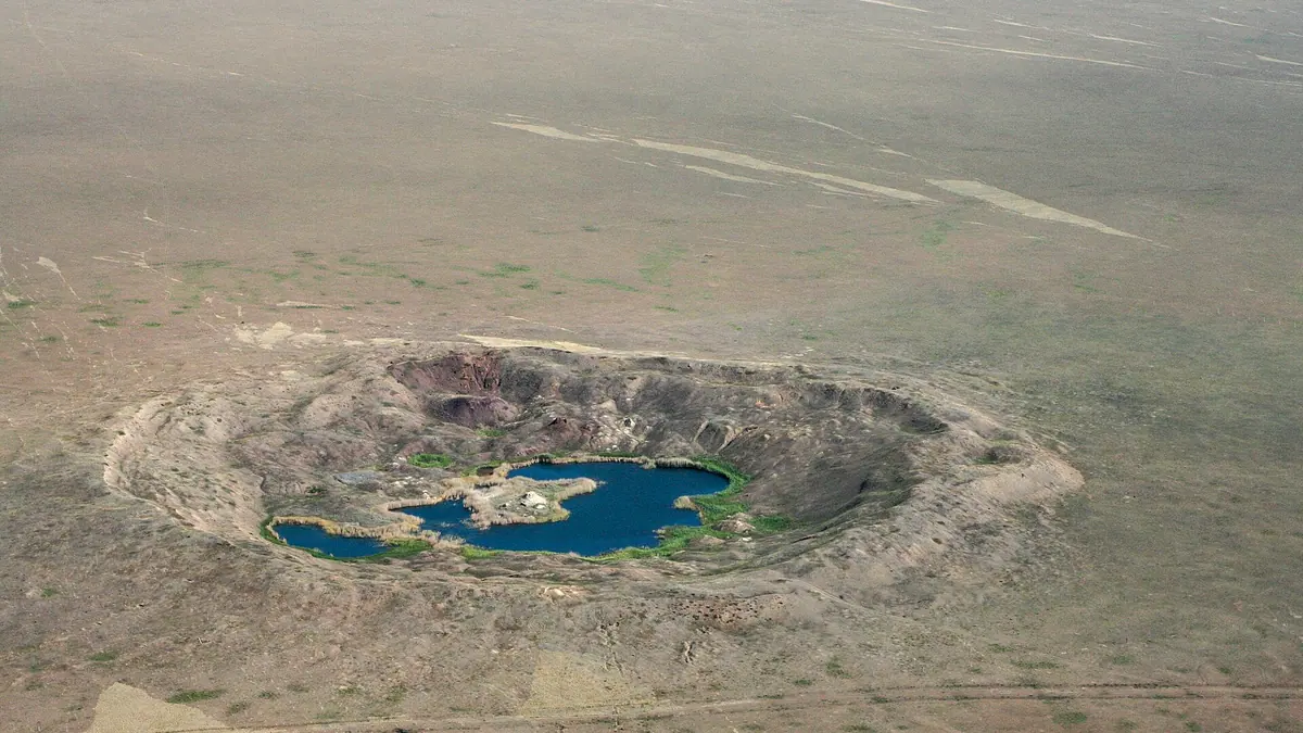
Balapan and the Atomic Lake
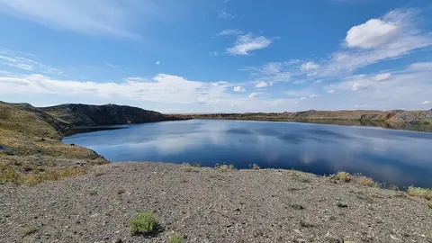
The borehole test area, scene of the last test on 19 October 1989. The flooded Chagan crater here is the Atomic Lake.
Access rules unconfirmed
We found no published visitor rules. Before you go, ask the National Nuclear Center in Kurchatov whether it receives visitors.
Semipalatinsk Test Site in photos
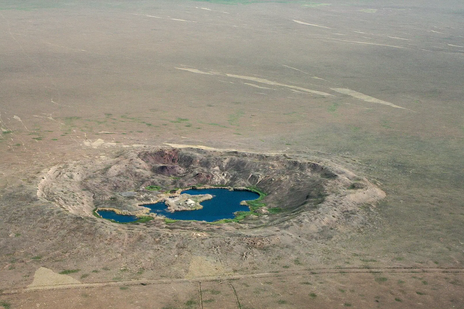
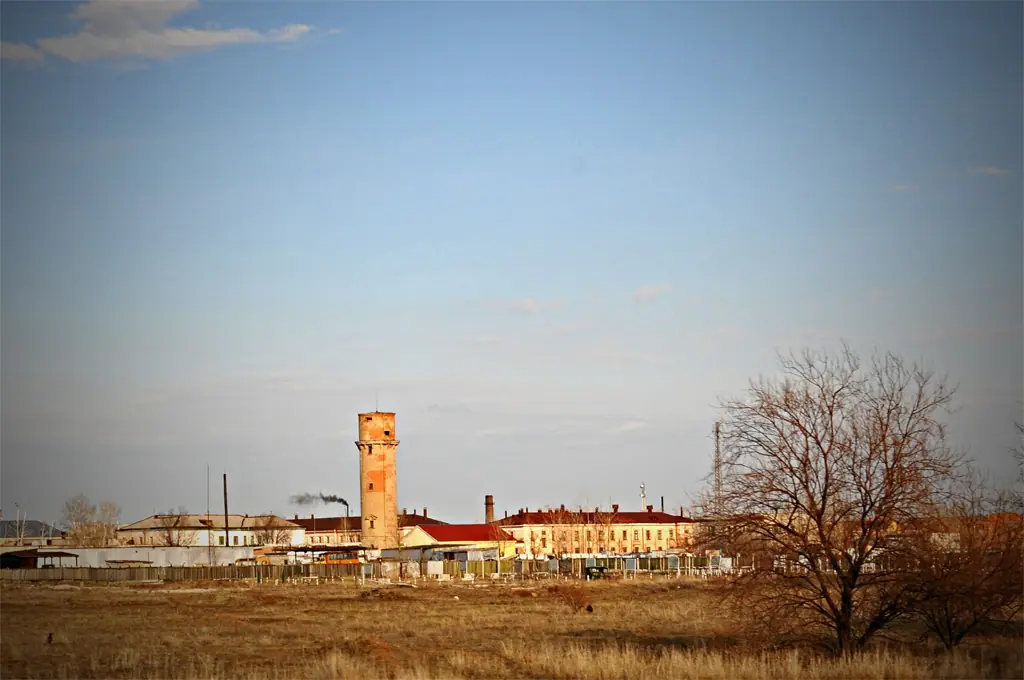
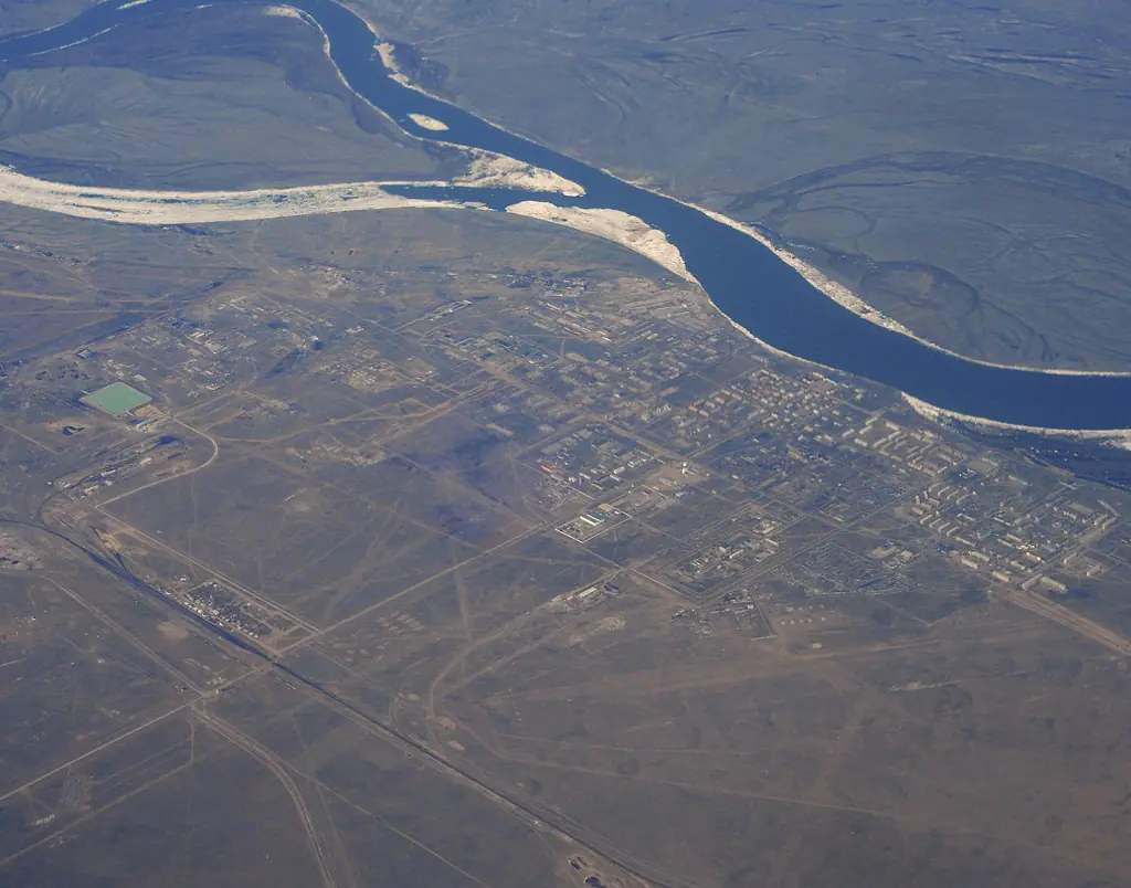
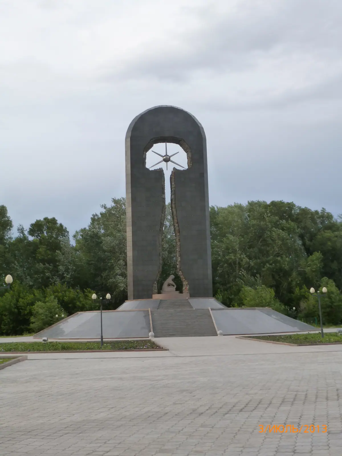
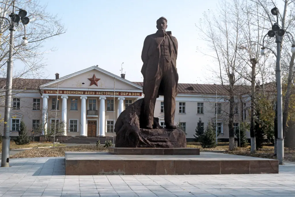
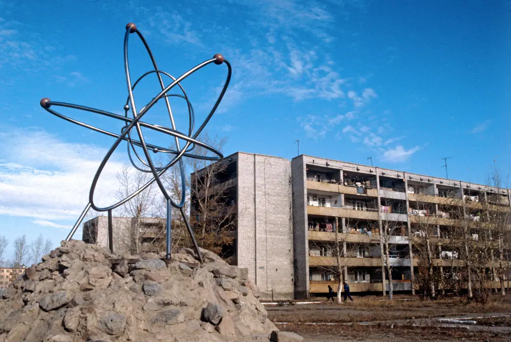
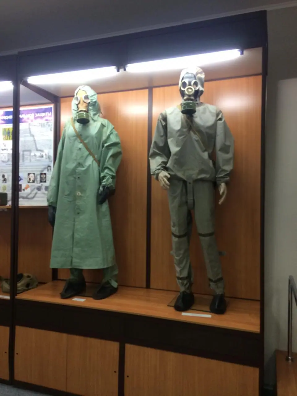
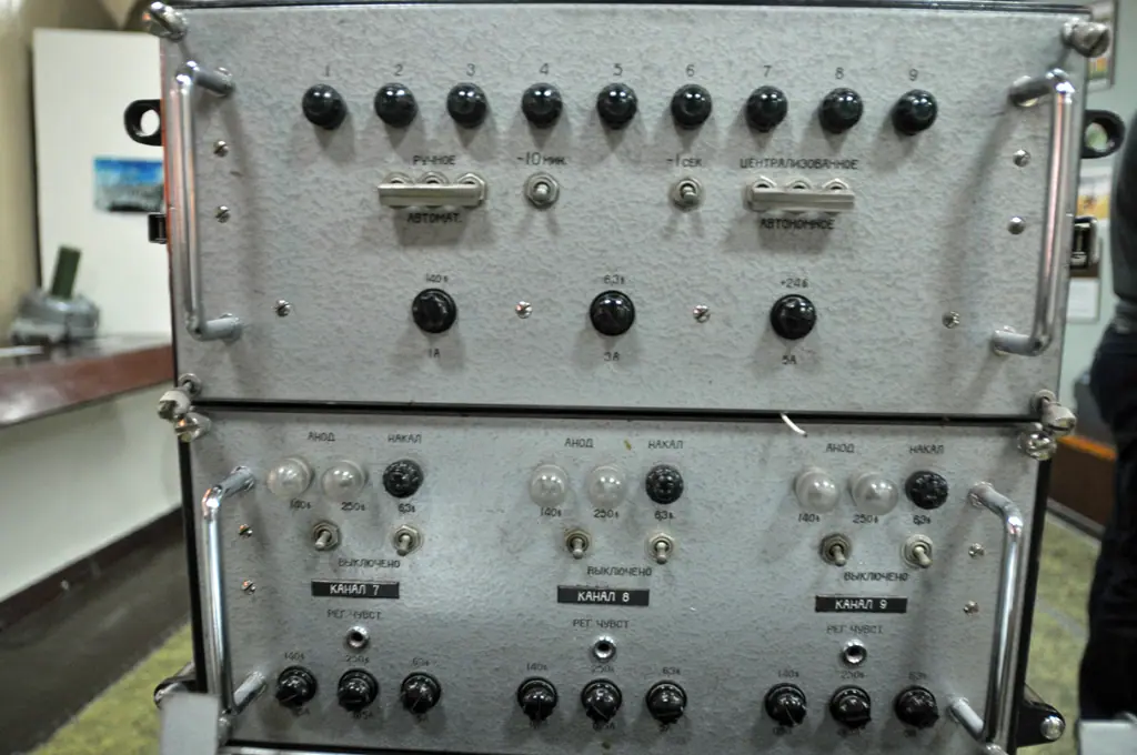
Real photos by travellers (Pexels, Unsplash, Wikimedia Commons); author and licence are given in each caption.
The Semipalatinsk Test Site (also called the Polygon) was the Soviet Union’s main nuclear testing ground, a block of steppe of roughly 18,000–19,000 km² in north-east Kazakhstan. The first test here took place on 29 August 1949 and the last test took place on 19 October 1989. Kazakhstan closed the site on 29 August 1991, a date the UN now marks as the International Day against Nuclear Tests.
If you are thinking of going, the key fact is this: we found no published procedure for tourist visits, so contact the National Nuclear Center in Kurchatov before you plan anything.
Key facts
| Location | North-east Kazakhstan, south-west of the Irtysh; about 800 km north of Almaty (IAEA), about 130 km from Semey (Tengrinews) |
| Area | about 19,000 km² (IAEA) / 18,500 km² (gov.kz) / over 18,300 km² (National Nuclear Center) |
| Tests | 456 (IAEA): 116 above ground, 4 excavation, 336 underground; other counts up to 470 |
| Total yield | 17.4 megatons TNT equivalent (IAEA) |
| First test | 29 August 1949, Experimental Field |
| Last test | 19 October 1989, Balapan |
| Closed | 29 August 1991, by decree of the President of the Kazakh SSR |
| Managed today by | National Nuclear Center of the Republic of Kazakhstan, Kurchatov |
Where it is and its main sites
The site lies south-west of the Irtysh River, which forms its boundary along a short stretch. The nearest base for visitors is Semey, the city that gave the site its name (it was called Semipalatinsk until 2007). Kurchatov, the town built to serve the site, sits on its north-eastern edge.
| Area | What happened there | Tests (IAEA table) |
|---|---|---|
| Experimental Field (Site Sh, “Ground Zero”) | above-ground and atmospheric tests, 1949–1962 | 26 ground-level, 87 atmospheric |
| Degelen (Site G) | underground tests in tunnels cut into a mountain massif | 215 in tunnels, 24 in boreholes |
| Balapan (Site B) | underground tests in boreholes; home of the Atomic Lake | 107 in boreholes, 2 excavation |
| Kurchatov | service town, code-named Semipalatinsk-21 | — |
In the 1990s the IAEA counted 30,000–40,000 people living in villages around the site, among them Akzhar, Dolon, Moldary, Sarzhal and Kainar. The flooded crater of the 1965 Chagan explosion has its own page: Chagan Atomic Lake.
Timeline
| Year | Event |
|---|---|
| 1947 | Town later named Kurchatov founded |
| 1949 | 29 Aug: first test at the site |
| 1961 | 11 Oct: first underground test, Degelen |
| 1962 | Last atmospheric test (24–25 Dec, IAEA); afterwards only underground tests, following the 1963 Partial Test Ban Treaty |
| 1989 | 19 Oct: last test, Balapan |
| 1991 | 29 Aug: closure decree |
| 1992 | 15 May: National Nuclear Center founded |
| 1993–1994 | IAEA missions at Kazakhstan’s request |
| 1996–2000 | Degelen tunnels sealed under a joint programme with the US (another National Nuclear Center page gives 1996–2001) |
| 2009 | UN resolution 64/35 declares 29 August the International Day against Nuclear Tests |
| 2013–2020 | Experimental Field made safe with the US Defense Threat Reduction Agency and Los Alamos |
| 2024 | 1 Jan: law on the Semipalatinsk Nuclear Safety Zone takes effect |
In a 2015 article for the CTBTO, Kazakhstan’s foreign minister described the country as the first in the world to close a nuclear test site on its own territory. In 2008 the CTBTO held its first full-scale on-site inspection exercise here.
Radiation: what the official sources say
The picture is uneven, and the most-cited assessment is now old. The IAEA’s 1998 report found little or no residual radioactivity over most of the site, with heavy contamination at the Experimental Field and around the Atomic Lake at Balapan.
| Scenario | IAEA estimate (1998) |
|---|---|
| Daily visits to the Experimental Field or Lake Balapan | about 10 mSv per year, mostly external exposure |
| Living permanently in those areas | around 100 mSv per year, above intervention level; access should be restricted |
| Outside the test site | no more than 0.1 mSv per year added dose; no intervention justified |
Since then, the National Nuclear Center reports that the Experimental Field was surveyed on foot over more than 20,000 km of gamma traverses in 2013–2020, contaminated soil was removed and reinforced-concrete structures were built over some objects to prevent unauthorised access. From 1 January 2024 the contaminated part is a legal nuclear safety zone: only activities listed in the law (safety, rehabilitation, research and similar) are allowed, everything else is banned, and the boundary is marked with warning signs.
We found no visitor guidance from the National Nuclear Center or the energy ministry. What the official documents imply is simple: keep out of signed zone areas and go to the Experimental Field or the Atomic Lake only with whoever controls access there. This page gives no medical advice; ask a doctor about health questions.
Can you visit?
There is no clear official answer. The 2023 law mentions “visiting rules” as part of the zone’s official passport, but the rules are not in the law and we could not find them published.
| Place | Status | Source |
|---|---|---|
| Kurchatov town | open town; we found no entry restrictions | town passport, gov.kz |
| Museum in Kurchatov | an exhibition exists (2020 photo on Wikimedia Commons); opening hours unconfirmed | no official source |
| Experimental Field | in 2019 journalists were taken by National Nuclear Center staff with radiation monitors and protective clothing | Tengrinews, 3 Sep 2019 |
| Atomic Lake, Balapan | the IAEA recommended restricting access; tourist terms unconfirmed | IAEA 1998 |
| Nuclear safety zone areas | activity outside the permitted list is banned by law | Law No. 16-VIII |
| Stronger than Death memorial, Semey | a memorial to test victims in the city | photos on Commons |
If anyone offers you a trip onto the site, ask in writing who authorises the visit and whether a radiation specialist comes along. Check with the National Nuclear Center (contacts on nnc.kz) whether it is currently receiving visitors and what foreigners need.
Getting there
Semey is the practical base: it has an international airport, and the city has the Abai Museum and the Stronger than Death memorial to test victims. See our Semey city guide and day trips from Semey. We could not confirm a road distance or regular public transport from Semey to Kurchatov on official portals.
If you are starting in Astana, the history hall of the National Museum covers the test site.
- The official procedure for visiting the Experimental Field, the Atomic Lake and other sites, including what foreigners need.
- The name and opening hours of the museum in Kurchatov.
- The number of the 1991 closure decree: its date and title are confirmed, but we did not see the number in an open text.
- The year the Stronger than Death memorial opened.
- How much former test site land has been returned to economic use.
- Road distance and transport between Semey and Kurchatov.
Semipalatinsk Test Site: tips before you go
- Stay out of areas marked with nuclear safety zone signs: since 2024 the law bans any activity there beyond its permitted list.
- Use Semey as your base: it is about 130 km from the test site and has the Stronger than Death memorial.
More to see nearby


Frequently asked questions
Where is the Semipalatinsk Test Site?
Is the Semipalatinsk Test Site still active?
How many nuclear tests were carried out at Semipalatinsk?
Is it safe to visit the Semipalatinsk Test Site?
Can tourists go to the test site?
What is Kurchatov?
Why is 29 August the International Day against Nuclear Tests?
How big was the Semipalatinsk Test Site?
Sources
- IAEA: Radiological Conditions at the Semipalatinsk Test Site, Kazakhstan (STI/PUB/1063), 1998
- IAEA Bulletin 40/4: IAEA missions to the test site, 1998
- National Nuclear Center of Kazakhstan: 30 years since the closure, 25 Aug 2021
- National Nuclear Center: the Experimental Field, 23 May 2022
- National Nuclear Center: Degelen, 7 May 2022
- National Nuclear Center: elimination of test infrastructure
- Law of Kazakhstan No. 16-VIII of 5 July 2023 on the Semipalatinsk Nuclear Safety Zone (Russian)
- United Nations: International Day against Nuclear Tests
- CTBTO Spectrum 24: article by Kazakhstan's foreign minister, 2015
- Kurchatov town passport, gov.kz, 2023 (Russian)
- Tengrinews: the Experimental Field today, 3 Sep 2019 (Russian)
Read also
 Almaty Zoo in Kazakhstan: opening hours and how to visit
 Ayusai Gorge, Almaty: visitor centre and waterfall trail
 Gorelnik Gorge above Medeu: waterfalls, trail and season
 Kamenskoe Plateau above Almaty: observatory and trails
 Pervomaiskie Ponds near Almaty: location, swimming, season
 Saty village: base for the Kolsai and Kaindy lakes