Ridder and the West Altai Reserve: when to go, month by month
- January: possible
- February: possible
- March: possible
- April: off season
- May: possible
- June: best time
- July: best time
- August: best time
- September: good
- October: possible
- November: off season
- December: possible
Only June to August bring daytime highs above 15 °C at reserve height, while winter highs stay far below freezing and April–May bring snowmelt floods.
Ridder and the West Altai Reserve: why go
Granite tors of Lineysky Belok
Weathered granite outcrops on the Kholzun knot, with rock groups known as Stone Fairy Tale and Shaitan Gorodok, on the highest ground of the reserve.
West Altai taiga
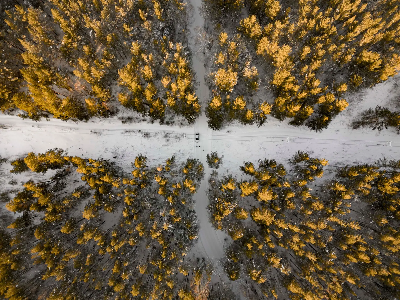
Forest covers 65% of the reserve: fir, Siberian cedar, larch and spruce, home to brown bear, lynx, sable and moose that returned in the 1970s.
Getting to Ridder
Ridder lies about 116 km in a straight line from Oskemen and 734 km from Taldykorgan, so it needs its own East Kazakhstan trip.
A short summer in the Altai
At 1,739 m only June to August see daytime highs above 15 °C, and July is also the wettest month at about 175 mm of precipitation.
Gulbishche bog near Ridder
At the source of the Chernaya Uba, this bog of about 6 km by 2 km is described as the largest in the Western Altai.
Ridder and the West Altai Reserve in photos
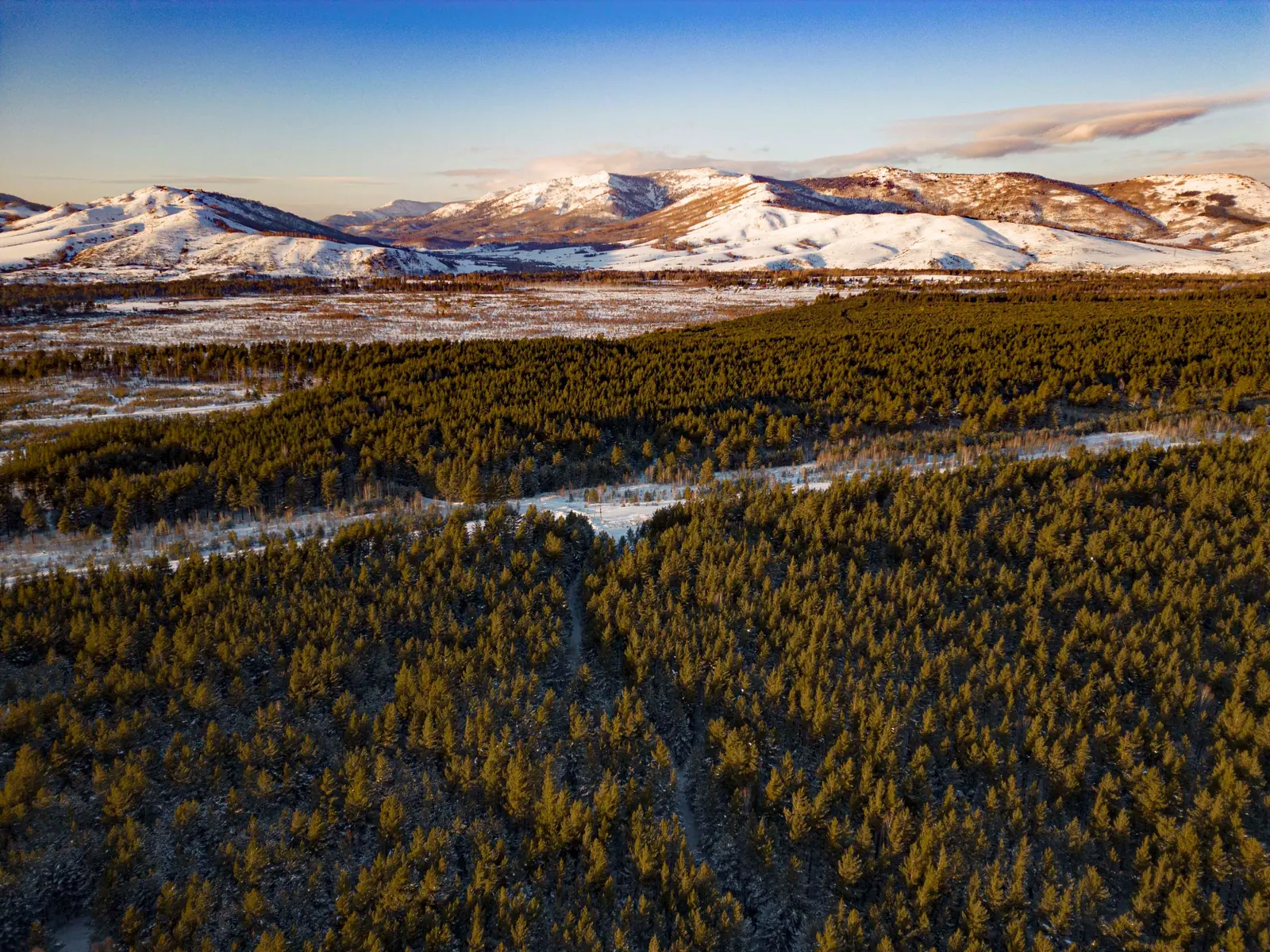
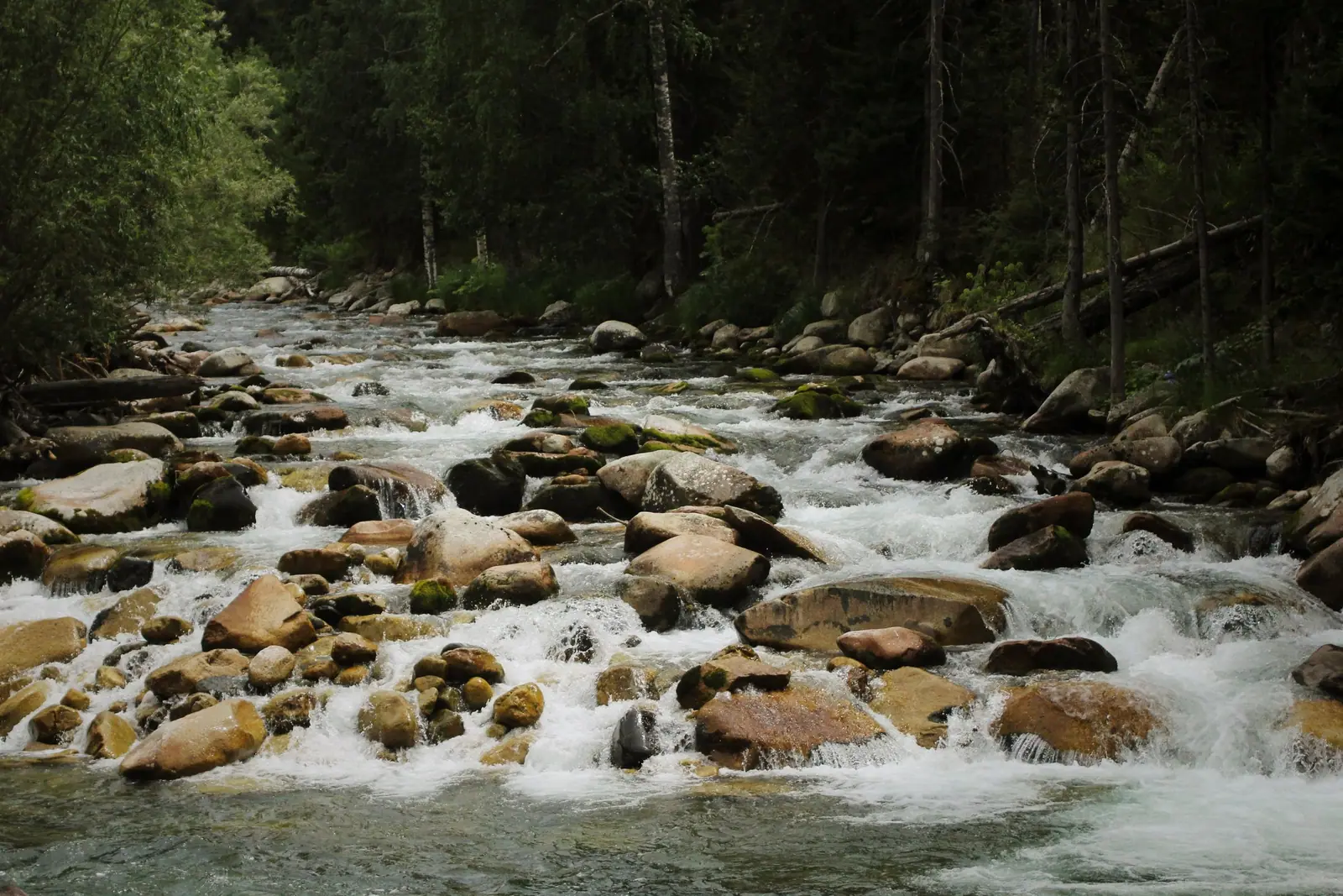
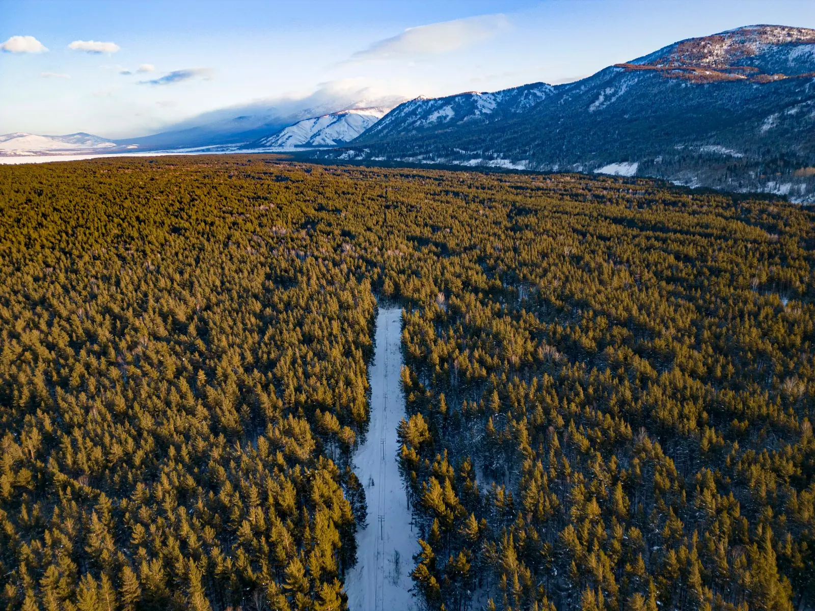
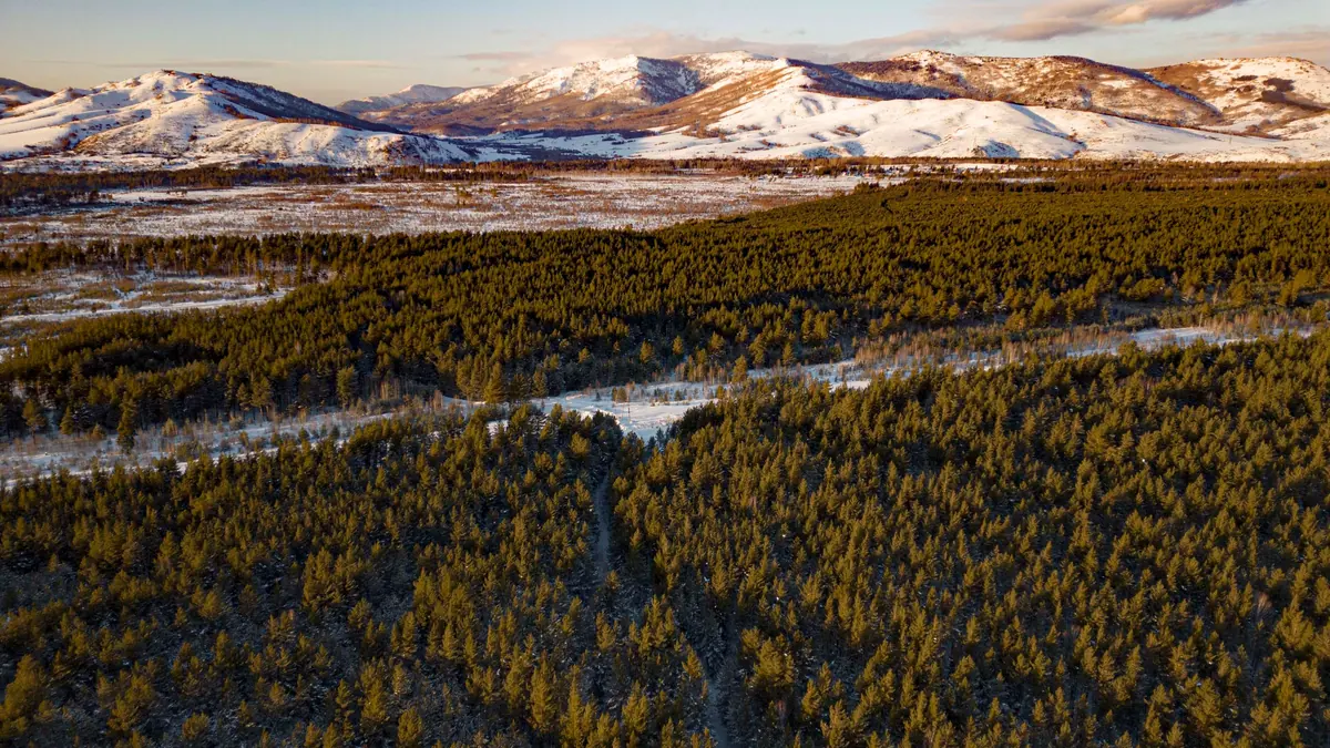
Real photos by travellers (Pexels, Unsplash, Wikimedia Commons); author and licence are given in each caption.
Ridder is a town in East Kazakhstan, about 116 km in a straight line from Oskemen, and the administrative base of the West Altai Reserve, a protected area of 86,122 ha in the Altai mountains. It suits a traveller who wants Siberian-style taiga, alpine lakes and wildlife rather than steppe or desert. It is a long way from the usual Almaty-region route, and access to the reserve itself is something you need to arrange and confirm in advance.
Where Ridder is and what kind of trip it demands
Ridder sits near the northeastern edge of East Kazakhstan region, close to the Altai ranges; the town was formerly called Leninogorsk. In straight-line terms it is about 116 km from Oskemen, 277 km from Semey and 734 km from Taldykorgan, so it belongs to a separate East Kazakhstan trip, not to a few days around Almaty. For comparison, Charyn Canyon lies about 864 km away in a straight line.
The reserve office is in Ridder itself, at 10 Semey Street, according to Kazakh Wikipedia. The protected land lies southeast of the village of Poperechnoye. We could not confirm road distances, bus schedules or whether English is spoken at the reserve office, so a traveller without Russian or a car should plan this leg with extra time.
What the West Altai Reserve protects
The reserve was created on 3 July 1992 to protect the ecosystems of the Altai mountain system, and in 2020 it joined the UNESCO World Network of Biosphere Reserves. Forest covers 65% of its area; the other 35% is non-forest land.
| Key figure | Value |
|---|---|
| Area | 86,122 ha |
| Established | 3 July 1992 |
| UNESCO biosphere network | 2020 |
| Forest share | 65% |
| Vascular plants | 883 species, 27 in Kazakhstan’s Red Book |
| Animal species | 230, including 57 mammals |
| Largest lakes | Kedrovoye and Shcherbakov |
| Largest bog | Gulbishche, about 6 km by 2 km |
For a visitor this means dense conifer forest at lower levels and small glacial cirque lakes near the treeline, where Kedrovoye and Shcherbakov lie on the border of the forest and alpine zones. The Gulbishche bog at the source of the Chernaya (Black) Uba is described as the largest in the Western Altai. Russian Wikipedia places the reserve in Ridder and Altai districts, while Kazakh Wikipedia lists Ridder, Zyryanovsk and Glubokoye districts; the sources do not explain the difference.
Peaks and ridges: the two sources give different heights
The highest ridge in the reserve is the Kholzun, with Lineysky Belok at 2,598 m, according to Russian Wikipedia. Kazakh Wikipedia lists ridge heights that do not match, so treat any single figure with caution.
| Ridge | Russian Wikipedia | Kazakh Wikipedia |
|---|---|---|
| Ivanovsky | 2,200–2,500 m (group figure) | 2,800 m |
| Kholzun | Lineysky Belok 2,598 m | 2,500 m |
| Ubinsky | 2,200–2,500 m (group figure) | 2,067 m |
| Ulbinsky | 2,200–2,500 m (group figure) | 2,000 m |
| Lineysky | part of the highest knot | 1,600 m |
What matters on the ground: these are rounded, forested mountains with erosion-shaped valleys rather than sharp glaciated peaks, and high-mountain vegetation is weakly developed. The standout landforms are the granite tors of Lineysky Belok; Kazakh Wikipedia names rock groups called Stone Fairy Tale and Shaitan Gorodok. Old glacial cirques and troughs shape some areas.
Forest and wildlife: real taiga, with bears
Fir is the most common tree, at 26.7% of the forested land, followed by Siberian cedar (23.1%), larch (15.5%) and spruce (13.9%). This is Altai mountain taiga, in a different part of the country from the Almaty-region lakes.
Common mammals include brown bear, lynx, sable, ermine, squirrel, chipmunk, Altai pika and mountain hare. Moose returned in the 1970s, maral (red deer) arrived in recent decades, and beaver appeared in 2008. Moose, maral and roe deer mostly move to less snowy areas for winter.
Russian Wikipedia counts 162 bird species, 120 of them nesting; Kazakh Wikipedia gives a preliminary figure of over 100. Red Book species nesting here include black stork, golden eagle, peregrine falcon, common crane and eagle owl. In the rivers, the taimen is listed in Kazakhstan’s Red Book. Bear country means food storage and noise on trails matter; we could not confirm the reserve’s own safety rules.
When to go: a short, cool and wet summer
July and August are the realistic window for hiking, with June and September as cooler shoulders. The figures below are ERA5 reanalysis normals for 2011–2020 at a grid point at 1,739 m, not a weather station.
Day high, °C / Night low, °C · Rain/snow, mm
A computed reanalysis normal, not weather station records. Temperature is from ERA5-Land (about 9 km grid); precipitation is from ERA5, a value for a cell about 25 km wide rather than a mountain station, so it may miss extra mountain precipitation.
Monthly figures
| Month | Day high, °C | Night low, °C | Rain/snow, mm |
|---|---|---|---|
| Jan | -16.1 | -23.5 | 57.5 |
| Feb | -11.7 | -21.6 | 48.7 |
| Mar | -3.7 | -14.4 | 72 |
| Apr | 3.6 | -6.1 | 90.1 |
| May | 7.4 | -3.3 | 115.2 |
| Jun | 15.1 | 3.5 | 135.1 |
| Jul | 16.5 | 5.9 | 197.5 |
| Aug | 15.5 | 4.5 | 132.9 |
| Sep | 9.1 | -1.4 | 100.4 |
| Oct | -0.3 | -8.9 | 164.3 |
| Nov | -10.3 | -17.1 | 127.4 |
| Dec | -14.9 | -21.3 | 89.6 |
Source: Open-Meteo: ERA5-Land (temperature) and ERA5 (precipitation), 2011–2020
At that height daytime highs climb above 15 °C only from June to August, peaking around 16.5 °C in July, and nights stay in single digits. From November to March daytime highs sit well below freezing, around -16 °C in January with nights near -24 °C. This is a wet place: roughly 1,235 mm a year, with July the wettest month at about 198 mm and October close behind at about 164 mm. Ridges above 2,500 m will be colder than these figures. We could not confirm the elevation of Ridder town itself, so conditions there may differ.
Rivers rise with snowmelt in April and May, when the Uba floods; low water runs from November to March. Expect rain gear to be necessary even in high summer.
What stands between you and the reserve
The main obstacle is information, not distance. A state nature reserve in Kazakhstan is a strictly protected category, and we could not confirm whether independent visitors are allowed in, which trails are open, or whether a permit or guide is required. The reserve office in Ridder is the place to ask before committing.
Ridder is also listed as a ski area, but we could not confirm any details of slopes, lifts or seasons. If you are combining the trip with other East Kazakhstan sights, the Rakhmanov Springs lie about 194 km in a straight line, and Lake Zaysan about 263 km.
- Whether independent visitors may enter the West Altai Reserve, and any permit, fee or guide requirement
- Bus or rail connections and road distance between Oskemen and Ridder
- Ski slopes, lifts and season dates around Ridder
- Which trails to Kedrovoye and Shcherbakov lakes or Lineysky Belok are open to visitors
- The elevation of Ridder town and how its weather compares with the reserve uplands
Ridder and the West Altai Reserve: tips before you go
- Contact the reserve office in Ridder, 10 Semey Street, before going: we could not confirm entry or permit rules.
- Pack full rain gear even in July: it is the wettest month at about 175 mm at the 1,739 m grid point.
- Avoid April and May for river walks: snowmelt floods the Uba in those months.
- Plan for bears: brown bear is listed as a common species in the reserve, so store food carefully.
More to see nearby


Frequently asked questions
What is the weather like in Ridder?
Are there buses to Ridder?
What animals live in the West Altai Reserve?
When does the Uba river flood?
Is the West Altai Reserve a UNESCO site?
Sources
Read also
 Almaty Zoo in Kazakhstan: opening hours and how to visit
 Ayusai Gorge, Almaty: visitor centre and waterfall trail
 Gorelnik Gorge above Medeu: waterfalls, trail and season
 Kamenskoe Plateau above Almaty: observatory and trails
 Pervomaiskie Ponds near Almaty: location, swimming, season
 Saty village: base for the Kolsai and Kaindy lakes