Verified: 2026-10
Rakhmanov Springs: when to go, month by month
- January: possible
- February: possible
- March: possible
- April: possible
- May: good
- June: best time
- July: best time
- August: best time
- September: good
- October: possible
- November: possible
- December: possible
July–August is best for hiking; October to April is for the well prepared, and the new road has no winter track record yet.
Rakhmanov Springs: why go
Rakhmanov's radon hot springs
Thermal springs containing radon, calcium, magnesium and iron; Sxodim puts the water temperature at +32 to +42 °C.
Rakhmanov Lake and Arasan falls
The springs feed a lake ringed by spruce and pine; the Arasan River flows out of it to form the Batyr's Moustache waterfall.
Towards Belukha from the springs
The Altai Trails route to the foot of Belukha (4,506 m) starts here and runs via the Sarsembay valley — an 8–10 day expedition.
A new road to Rakhmanov Springs
The last 13 km of mountain track was widened from 4 to 8 m and rebuilt; The Astana Times says it reopened on 4 October 2026.
Rakhmanov and the wounded maral
Legend says Rakhmanov found the springs in the 18th century after watching a wounded maral deer heal itself in the warm water.
Rakhmanov Springs in photos
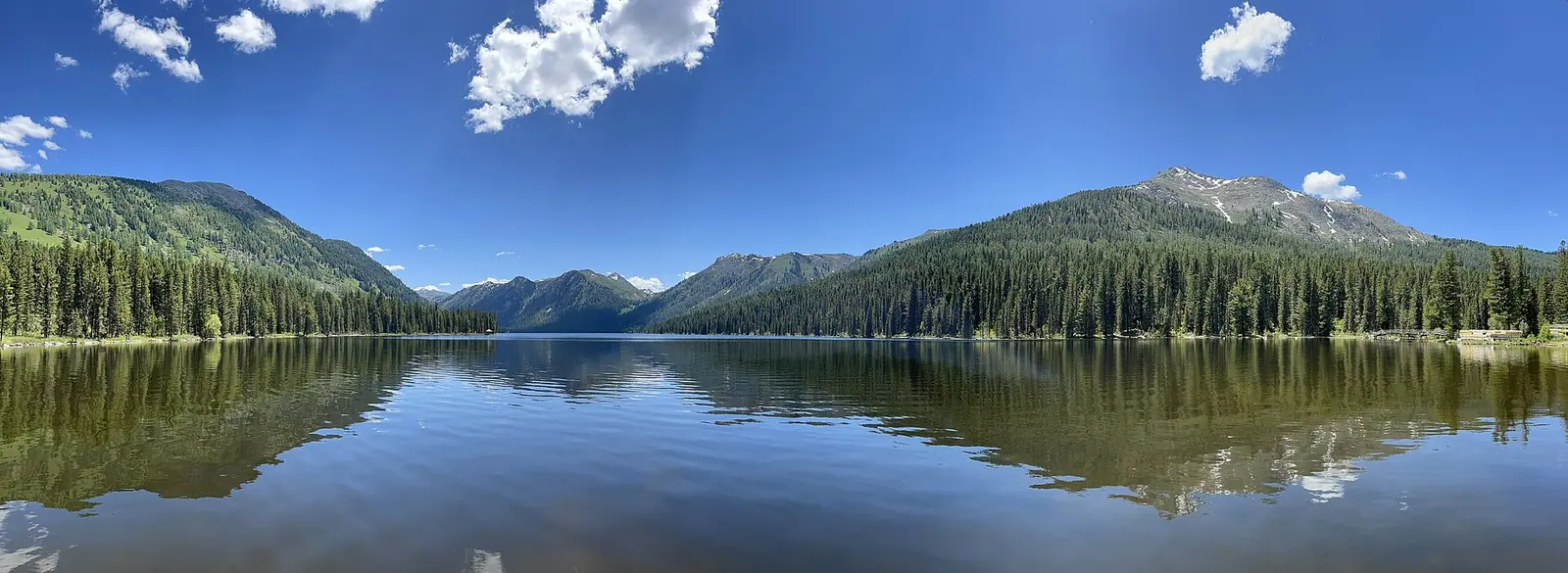
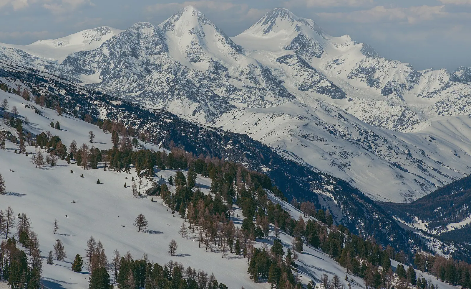
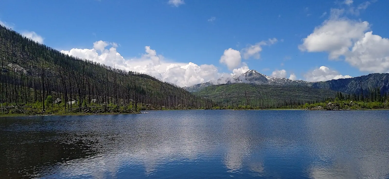
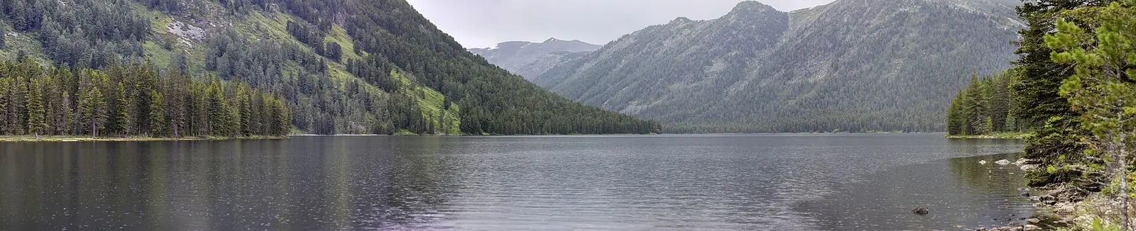
Real photos by travellers (Pexels, Unsplash, Wikimedia Commons); author and licence are given in each caption.
Rakhmanov Springs (Rakhmanovskie Klyuchi) are thermal radon springs high in the southern Altai, next to Rakhmanov Lake, inside Katon-Karagay National Park in East Kazakhstan. Sxodim puts the water at +32 to +42 °C. The springs are 111 km beyond Katon-Karagay village, which is itself about 380 km from Oskemen. For years the last 13 km was a rough mountain track; according to The Astana Times, the rebuilt section opened on 4 October 2026. The old sanatorium is closed, though, and the whole district borders Russia and China, so sort out your documents before you set off.
What the springs are
Legend has it that a local peasant (some versions say a hunter) named Rakhmanov found the springs in the 18th century, after watching a wounded maral deer heal itself in the warm water (NewTimes.kz, Sxodim). The groundwater is thermal and contains radon, plus calcium, magnesium and iron (NewTimes.kz).
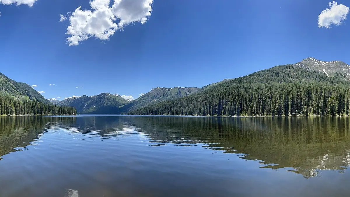
The springs feed Rakhmanov Lake, ringed by mountains covered in spruce and Siberian pine. The Arasan River flows out of the lake and forms the Arasan waterfall, also known as “the Batyr’s Moustache”.
Sxodim mentions a mosque nearby at 1,760 m, described as the highest in the country, and notes that the borders of four countries — Kazakhstan, Russia, China and Mongolia — meet in this part of the Altai.
Quick facts
| Item | Value | Source |
|---|---|---|
| Water temperature | +32 to +42 °C | Sxodim 2023 |
| Composition | radon, calcium, magnesium, iron | NewTimes.kz 2024 |
| Altitude | 1,760 m at the nearby mosque | Sxodim 2023 |
| From Katon-Karagay village | 111 km | Sxodim 2023 |
| Oskemen to Katon-Karagay | about 380 km | Aviasales 2026 |
| Final mountain section | 13 km; reopened 4 Oct 2026 | Zakon.kz, Tengrinews, The Astana Times |
| Belukha | 4,506 m | NewTimes.kz, The Astana Times |
We could not confirm the exact altitude of the springs themselves or a measured radon level from the sources we opened.
Getting there
The route from Oskemen runs through Altai town, Ulken Naryn and Katon-Karagay village, then along the Bukhtarma River past the villages of Shyngystai, Uryl and Berel (Aviasales, 2026). We found no public transport to the springs.
The last stretch has always been the problem. In 2023 Sxodim described the main road as smooth but the final 11 km as steep and bumpy. Tengrinews (June 2026) wrote that the final 13 km had never been paved: a narrow, steep dirt road where visitors had to pay extra to get up it. In 2025 it was widened from 4 to 8 m and pipes were laid; in 2026 crews regraded it and laid a crushed-stone base, and the roads agency promised to open it by year’s end.
The Astana Times reported on 18 October 2026 that the work was finished and the road opened on 4 October. The stretch used to take up to 2.5–3 hours and now has pull-offs with mountain views. The article does not say whether it is asphalt; the regional governor had promised an asphalt surface in November 2025 (Zakon.kz). Aviasales’ summer guide still recommended a sturdy, high-clearance car. On a first visit, check conditions locally.
The sanatorium today
The Rakhmanov Springs sanatorium belonged to a car-assembly company from Oskemen; after a criminal case against its owners, the state seized the property (Tengrinews). In November 2025 the governor said an inventory had found 92 structures, paperwork for land and buildings was under way, and a private investor would then be chosen (Zakon.kz).
As of June 2026, Tengrinews reported that the resort had been closed for several years: the cottages are shut, there is nowhere to stay, and visitors can only walk around. The grounds are guarded. Sxodim mentioned guesthouses by the lake in 2023; we have not checked whether they still operate. Plan to sleep in the villages along the way.
Belukha nearby
Belukha (Muztau), at 4,506 m, is the highest point of Katon-Karagay park and of the whole Altai (NewTimes.kz). Tengrinews describes the springs as lying at its foot, but “nearby” is relative here. According to The Astana Times, reaching the base of Belukha overland is an 8–10 day expedition, partly on horseback, with helicopter flights as a weather-dependent alternative. The Altai Trails route, launched in September 2026, starts near Rakhmanov Springs and runs through the Sarsembay valley to the foot of Muztau.
Border zone: do you need a permit?
Katon-Karagay District borders Russia and China. Here is what the primary sources say:
- State Border Law, Article 40: citizens of Kazakhstan and foreigners enter the border zone with an identity document.
- Article 24: the border strip — a narrow band right along the frontier — requires permission and a special pass from the KNB Border Service.
- Resolution No. 356 lists places in Katon-Karagay District where the Interior Ministry pass requirement for foreigners is lifted, including Bolshoe Rakhmanovskoe Lake (9 km from the Chinese border, 20 km from the Russian one) and Arasan waterfall (22 km). The springs themselves are not listed separately.
More on zone versus strip in our border zone guide.
Fees and season
The springs are inside Katon-Karagay National Park, so the park’s fee under Order No. 232 applies; the MCI rates are on the park page and the fee calculator converts them to tenge.
Aviasales (2026) describes the region’s seasons: May–June for flowering meadows and full waterfalls, July–August as the prime time for long hikes, September for autumn colour and cold nights, October–April for well-prepared travellers only. There is no track record yet for the rebuilt road in winter — it only opened in October 2026.
Nearby
- Katon-Karagay National Park — Kokkol waterfall, Yazevoe and Maralye lakes.
- Markakol Reserve — also in the East Kazakhstan border area.
- Kazakhstan’s largest protected areas.
- Before you go.
Rakhmanov Springs: tips before you go
- The sanatorium is closed with nowhere to stay — plan to sleep in the villages on the way.
- Carry your passport or ID: entry to the border zone is by identity document.
- Routes towards Belukha may enter the border strip — check with the KNB Border Service.
More to see nearby


Frequently asked questions
Where are Rakhmanov Springs?
How do I get to Rakhmanov Springs?
How hot is the water?
Is the Rakhmanov Springs sanatorium open?
Do I need a border permit for Rakhmanov Springs?
Can you see Belukha from Rakhmanov Springs?
Sources
- Belukha, waterfalls and Rakhmanov Springs: a journey to Katon-Karagay — NewTimes.kz, 29 Feb 2024 (in Russian)
- Rakhmanov Springs — Sxodim, 26 Sep 2023 (in Russian)
- When will Rakhmanov Springs reopen — Zakon.kz, 20 Nov 2025 (in Russian)
- East Kazakhstan wants to revive a famous mountain resort — Tengrinews, 13 Jun 2026 (in Russian)
- New Road Opens Gateway to East Kazakhstan's Altai Wonders — The Astana Times, 18 Oct 2026
- Katon-Karagay on your own — Aviasales Demalys, 22 Jul 2026 (in Russian)
- Government Resolution No. 356 of 16 Apr 2014 — border territories with regime exceptions (in Russian)
- Law No. 70-V of 16 Jan 2013 On the State Border of the Republic of Kazakhstan (in Russian)