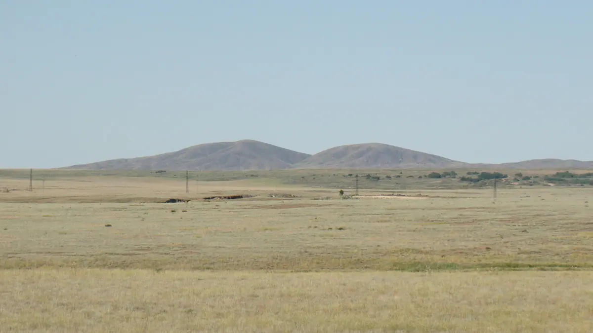
The Mugodzhar Mountains, the low southern tail of the Urals in Aktobe Region: when to go, month by month
- January: off season
- February: off season
- March: off season
- April: possible
- May: best time
- June: good
- July: possible
- August: possible
- September: best time
- October: possible
- November: off season
- December: off season
May and September combine mild days and cool nights, while July–August are hot and dry and November–March are cold, with highs near or below 0 °C.
The Mugodzhar Mountains, the low southern tail of the Urals in Aktobe Region: why go
Mount Ulken Baktybay
The highest point of the Mugodzhar at 657 m, rising only a few hundred metres above a plain where the average height of the range is about 300 m.
Mugodzhar watershed
The hills split water between the Caspian and Aral basins: the Emba and Or flow west, while Irgiz tributaries drain east into a closed basin.
A long drive from Aktobe
The range lies about 207 km in a straight line from Aktobe. We could not confirm buses or road conditions, so plan on a private vehicle and a local driver.
Spring and autumn in the Mugodzhar
ERA5 normals give May highs near 23 °C and September near 20 °C, against July highs close to 30 °C and January nights around −15 °C.
Trees in steppe valleys and ravines
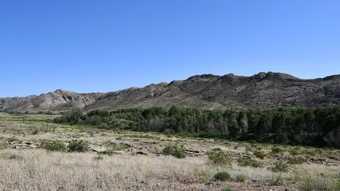
In a landscape of feather grass and wormwood, river valleys hold poplar, birch, oak and willow, and ravines shelter aspen and bird cherry.
The Mugodzhar Mountains, the low southern tail of the Urals in Aktobe Region in photos
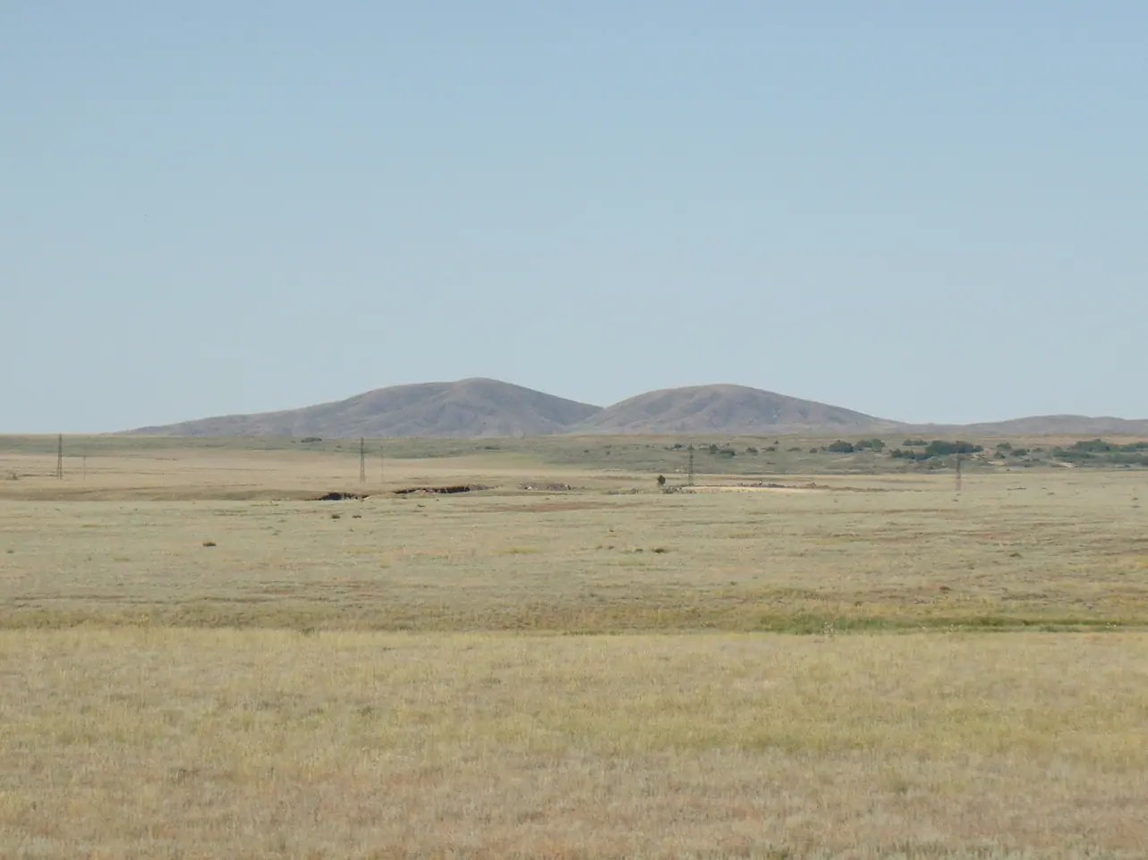
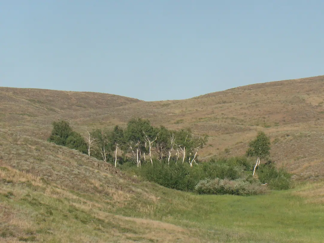
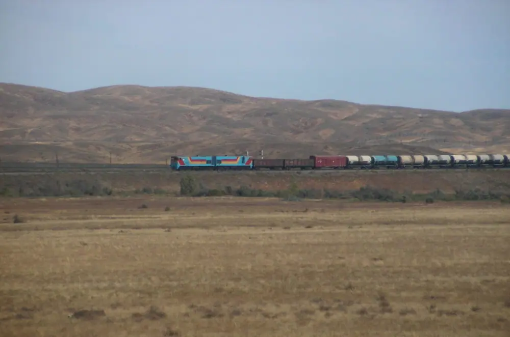
Real photos by travellers (Pexels, Unsplash, Wikimedia Commons); author and licence are given in each caption.
The Mugodzhar Mountains (Mugalzhar in Kazakh) are the southern continuation of the Ural Mountains, running north to south through Aktobe Region in northwestern Kazakhstan. They are low: a band of ridges, crests and small hills about 200 km long, with the highest point, Mount Ulken Baktybay, at 657 m. Expect a steppe landscape with rocky outcrops rather than an alpine range, and a trip that needs your own planning from Aktobe.
Where the Mugodzhar Mountains are on the map
The range sits in Aktobe Region, in the far northwest of Kazakhstan, far from Almaty and Astana. The hills lie about 207 km in a straight line from the city of Aktobe, the closest of the large cities we measured; Atyrau is about 523 km in a straight line and Oral about 588 km.
Geologically this is where the Urals fade out. In the north the Mugodzhar begin as a narrow ridge near the Or River, then split into two almost parallel ridges separated by the gently rolling Alabass Basin, up to 20 km wide. To the north the hills connect with the Guberlin Mountains; at the southern end a spur of low hills, the Shoshkakol Buirat, reaches 408 m. South of about 48° N, by Kazakh Wikipedia, the terrain no longer rises above 250 m.
Key figures, and where the sources disagree
Most numbers agree across sources, but the size of the range does not. The Russian and English Wikipedia articles give a length of about 200 km and a width up to 30 km; the Kazakh article gives 400 km by about 200 km, and we could not establish why they differ.
| Feature | Figure |
|---|---|
| Length | about 200 km (Russian, English Wikipedia); 400 km (Kazakh Wikipedia) |
| Width | up to 30 km; about 200 km by Kazakh Wikipedia |
| Highest point | Mount Ulken Baktybay (Boktybay), 657 m |
| Average height | about 300 m |
| Southern spur | Shoshkakol Buirat, 408 m |
| Basin between ridges | Alabass Basin, 15–20 km wide |
| Annual precipitation | 200–250 mm |
For a traveller the takeaway is simple: these are hills a few hundred metres above the surrounding plain. Any walking here is about distance, wind and heat, not altitude.
Two ridges, old rock and steppe rivers
The two ridges look different. The western, or Main Mugodzhar, ridge is higher and more cut up, especially in the south, with flattened crests and rocky remnants standing above them. The eastern, or Zhanganin, ridge is a chain of smooth hills dissected by tributaries of the Irgiz River.
The rocks are old: quartzites, crystalline schists, gneisses, granites, sandstones and conglomerates, dated in the Kazakh article to the Precambrian and Palaeozoic. The hills hold deposits of copper, lead, zinc, nickel and rare metals, and some of them are mined, so parts of the area may have active mines.
The Mugodzhar form the divide between the Caspian and Aral Sea basins. The Emba and Or rise on the western slope, the right-bank tributaries of the Irgiz on the eastern side, and many streams dry up seasonally. Plant cover shifts from stony feather-grass steppe in the north to wormwood semi-desert in the south, with occasional birch, aspen, willow and bird cherry in ravines, and poplar, birch, oak and willow along rivers. The land is used as spring and summer pasture.
When to go to the Mugodzhar
May and September are the most comfortable months; midsummer is hot and winter is harsh. The figures below are computed normals from the ERA5 reanalysis for 2011–2020 at a grid point at 448 m, not readings from a weather station. That elevation is close to the hills themselves, so the numbers are a fair guide.
Day high, °C / Night low, °C · Rain/snow, mm
A computed reanalysis normal for these coordinates, not weather station records.
Monthly figures
| Month | Day high, °C | Night low, °C | Rain/snow, mm |
|---|---|---|---|
| Jan | -9.6 | -15.7 | 18.9 |
| Feb | -8.6 | -15.6 | 18.1 |
| Mar | 1 | -7.5 | 31.5 |
| Apr | 13.8 | 2.8 | 23.8 |
| May | 22.6 | 10 | 27.9 |
| Jun | 27.5 | 14.9 | 11.4 |
| Jul | 29.8 | 17.4 | 18.2 |
| Aug | 28.2 | 15.8 | 13 |
| Sep | 20.4 | 8.9 | 13.5 |
| Oct | 11 | 0.9 | 20.6 |
| Nov | -0.3 | -7.2 | 22.4 |
| Dec | -7.2 | -13.4 | 33.7 |
In May daytime highs average about 23 °C and nights about 10 °C; September is similar at about 20 °C by day and 9 °C at night. July is the hottest month, with average highs near 30 °C and little shade in open steppe. From December to February highs stay below freezing, with November near 0 °C and March about 1 °C, and January nights average about −16 °C; snow cover is thin, per Wikipedia, which means wind on bare ground. The climate is dry all year, with about 11–18 mm a month from June to August. Wikipedia also notes a local wind named after the range, the Mugalzhar wind.
| Period | What to expect |
|---|---|
| Apr | Highs about 14 °C, nights near freezing |
| May | Warm days, green steppe, mild nights |
| Jun–Aug | Highs 28–30 °C, dry, exposed |
| Sep | Back to comfortable, about 20 °C by day |
| Oct | Highs about 11 °C, nights near 2 °C |
| Nov–Mar | Highs near or below 0 °C, frosty nights, thin snow, wind |
Getting there: what you need to plan yourself
We could not confirm any public transport to the hills, any marked trails, visitor centre or protected-area status. In practice that points to a trip by private vehicle from Aktobe, about 207 km away in a straight line; road distance will be longer, and we could not confirm road conditions.
For a visitor without Russian or Kazakh and without a car, this is a demanding destination: you will need a local driver or contact who knows the tracks. Wikipedia mentions the Mugalzhar monuments in the upper Emba valley, but we could not confirm what they are, where exactly they stand or whether they are accessible.
Is the trip worth it
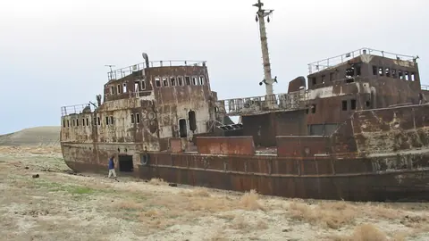
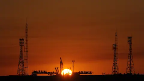
It is worth it if you want to stand on the last ridges of the Urals and see where water splits between the Caspian and the Aral basins. It is not worth a special trip if you expect dramatic peaks or canyons. The nearest pages on this site are far: the Aral Sea is about 434 km in a straight line and Baikonur about 466 km, so the Mugodzhar fit best into a long overland route across western Kazakhstan rather than a side trip. For granite hills in open steppe with more history attached, compare Ulytau in central Kazakhstan.
- Whether any public transport or organised access reaches the hills from Aktobe
- Road and track conditions into the ridges
- Whether any part of the range is protected or requires permits
- What the Mugalzhar monuments in the upper Emba valley are and whether they can be visited
- Which areas are closed because of active mining
The Mugodzhar Mountains, the low southern tail of the Urals in Aktobe Region: tips before you go
- Aim for May or September: ERA5 highs of about 20–23 °C, versus near 30 °C in July with little shade in open steppe.
- Carry ample water in summer: June to August bring only 13–18 mm of rain a month and many streams dry up.
- Pack windproof layers even in spring: April and October nights average about 2 °C, and the range has its own local wind.
- Arrange a driver in Aktobe before you go: we could not confirm any public transport or marked trails into the hills.
More to see nearby


Frequently asked questions
What is the highest point of the Mugodzhar Mountains?
Are the Mugodzhar part of the Ural Mountains?
Which rivers start in the Mugodzhar?
How cold are the Mugodzhar in winter?
Sources
Read also
 Almaty Zoo in Kazakhstan: opening hours and how to visit
 Ayusai Gorge, Almaty: visitor centre and waterfall trail
 Gorelnik Gorge above Medeu: waterfalls, trail and season
 Kamenskoe Plateau above Almaty: observatory and trails
 Pervomaiskie Ponds near Almaty: location, swimming, season
 Saty village: base for the Kolsai and Kaindy lakes