Moiynkum Desert: what to know before going to Kazakhstan's southern sands
A 500 km belt of vegetated sand ridges between the Chu River and the Karatau range, about 117 km in a straight line from Taraz. It has wildlife, desert lakes and a hard climate, but few confirmed travel details.
Moiynkum Desert: when to go, month by month
- January: possible
- February: possible
- March: possible
- April: best time
- May: best time
- June: possible
- July: possible
- August: possible
- September: best time
- October: good
- November: possible
- December: possible
Spring and September have mild days and cool nights, summer highs pass 32 °C with almost no rain, and winter nights fall well below freezing.
Moiynkum Desert: why go
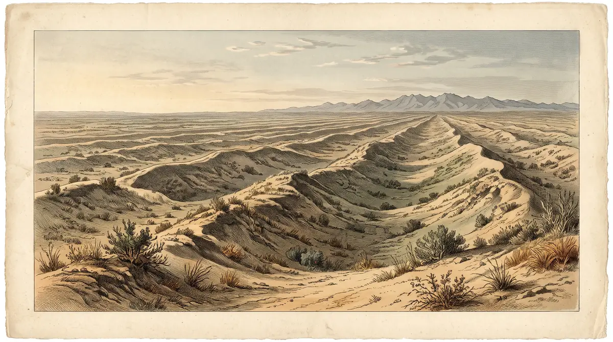
Moiynkum's central sand ridges
In the centre of the desert the sand rises into long ridges 50–70 m high, mostly held in place by saxaul, milkvetch and other shrubs.
Andasay reserve wildlife
The Andasay State Nature Reserve, set up in 1966, covers about 1,000,000 ha; saiga, goitered gazelle, roe deer and wolves are recorded in the desert.
Getting to Moiynkum from Taraz
Taraz is the nearest city, about 117 km in a straight line. Almaty is about 410 km away, so the desert suits a southern Kazakhstan route better.
Spring and September in Moiynkum
April–May and September bring average highs of about 20–27 °C. From June to August highs pass 32 °C and monthly rain drops below 14 mm.
Fresh water under Moiynkum's sand
Drilling found a large artesian basin 400–500 m below the dunes, and groundwater surfaces as small lakes in hollows between the ridges.
The Moiynkum Desert is a sand desert in southern Kazakhstan, spread across the Zhambyl and Turkistan regions, about 117 km in a straight line from Taraz and about 410 km from Almaty. It is a working landscape of winter pastures, a large nature reserve and uranium mines, not a packaged attraction. Go for empty sand ridges and steppe wildlife in spring or early autumn, and plan the logistics yourself.
Where the Moiynkum Desert is and how big it is
Moiynkum lies between the Chu River valley to the north and east and the Karatau and Kyrgyz Ala-Too ranges to the south. It runs about 500 km from south-east to north-west and covers 37,500 km², by Russian and Kazakh Wikipedia. Of the cities we list, Taraz is the closest; Shymkent is about 253 km and Turkistan about 299 km away, all straight-line distances.
| Key data | Figure |
|---|---|
| Length, SE to NW | about 500 km |
| Area | 37,500 km² |
| Elevation | 300 m in the north to 700 m in the south-east |
| Central sand ridges | 50–70 m high |
| Northern strip along the Chu | 15–30 km wide, ridged and hummocky |
| Annual precipitation | 150–330 mm |
For a traveller this means distance, not terrain, is the first obstacle. Almaty is a long way off, so Moiynkum fits better into a southern itinerary built around Taraz, Shymkent or Turkistan.
What the landscape looks like: vegetated ridges, not bare dunes
Most of Moiynkum is overgrown or half-overgrown sand, deeply cut into ridges, rather than shifting bare barkhans. Saxaul and milkvetch grow on the slopes; zhuzgun (calligonum), mugwort and sedge fill the hollows. The east breaks into separate ridges 10–25 m high and 1–2 km long, while the centre rises into ridges of 50–70 m.
Water sits close to the surface in the hollows between ridges and often comes out as small lakes. Hydrogeologists confirmed fresh water here in 1975, and drilling found a large artesian basin 400–500 m below the dunes. Named lakes include Kokuydynkol and Zhalanash near the Chu, the Akzhar lake group in the south, and the salt lake Akzhaykyn in the Ashchykol Depression at the western end, which the Chu reaches only in wet years.
Wildlife and the Andasay reserve
Moiynkum is home to saiga, goitered gazelle, roe deer, wild boar, wolves, foxes, hares, ground squirrels, jerboas and pheasants, according to Wikipedia. The Andasay State Nature Reserve, established in 1966, is a protected area of about 1,000,000 hectares, according to English Wikipedia. There is also the Umbet state hunting area.
We could not confirm whether visitors may enter Andasay, where its boundaries run or whether a permit is needed. Check this before planning any wildlife trip into the reserve.
A desert people live and work in
Today the desert is used mainly as winter pasture for livestock, with better-watered spots cut for hay. In the 1930s–1950s many residents were exiles who worked on collective farms and on rice fields laid out by Koreans deported from the Far East.
The desert also holds uranium deposits. English Wikipedia lists the South Inkai mine, the Inkai project and the Tortkuduk and Moiynkum mines. Expect industrial sites and their access roads in parts of the desert, and do not assume you can drive into them.
When to go to Moiynkum
Late April, May and September are the comfortable windows; midsummer is hot and winter is cold with freezing nights. The figures below are computed 2011–2020 normals from the ERA5 reanalysis for a grid point at 421 m, not a weather station, so treat them as a guide. The south-east of the desert rises to 700 m and will be somewhat cooler.
Day high, °C / Night low, °C · Rain/snow, mm
A computed reanalysis normal for these coordinates, not weather station records.
Monthly figures
| Month | Day high, °C | Night low, °C | Rain/snow, mm |
|---|---|---|---|
| Jan | 0.5 | -8.1 | 27.1 |
| Feb | 1.8 | -7.8 | 23.2 |
| Mar | 12.5 | 0.7 | 31.4 |
| Apr | 20.9 | 8.7 | 33.2 |
| May | 27.6 | 13.8 | 21.5 |
| Jun | 32.9 | 19.4 | 11.4 |
| Jul | 35 | 21.2 | 6 |
| Aug | 32.9 | 18.9 | 4.4 |
| Sep | 26.5 | 12.2 | 3.9 |
| Oct | 17.8 | 5 | 25.4 |
| Nov | 6.3 | -3.4 | 33.2 |
| Dec | 1.3 | -6.9 | 23.6 |
In July average highs reach about 35.0 °C and nights stay near 21 °C, with almost no rain from June to September. Sources disagree on extremes: English Wikipedia gives around 50 °C in July and −40 °C in January, Kazakh Wikipedia gives lows of −40 to −44 °C. Winter highs hover near 1 °C, snow is thin (10–15 cm at most) and November and March are the wettest months.
| Period | What to expect | Verdict |
|---|---|---|
| Dec–Feb | Highs about 0–2 °C, nights near −8 °C | Not sensible |
| Mar | Highs about 12 °C, frost-free nights begin | Possible |
| Apr–May | Highs 20–27 °C, nights 8–14 °C | Best |
| Jun–Aug | Highs 32–35 °C, hardly any rain | Heat risk |
| Sep | Highs about 26 °C, dry | Best |
| Oct–Nov | Cooling fast, rain returns | Possible |
If you can only come in summer, plan to be among the ridges early in the morning and carry far more water than you think you need: there is almost no rain and the heat builds through the day.
What makes a trip hard without a car
We could not confirm any public transport into the desert, any marked trails or any visitor facilities. The desert is huge, roads are not described in any source we hold, and the main land uses are pasture, a reserve and mining. A visitor without a car should treat Moiynkum as a trip that needs transport arranged in advance, most practically from Taraz.
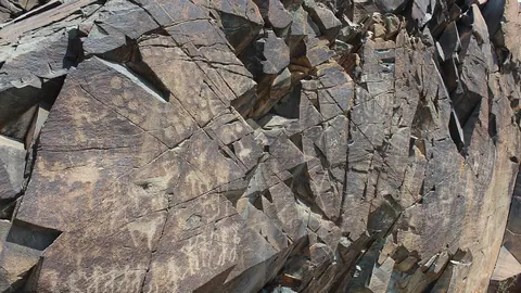
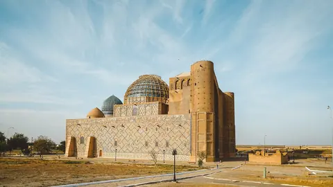
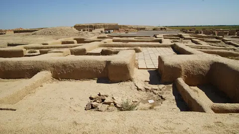
If you are touring the south, other southern sites include Turkistan and the ancient city of Otrar. For petroglyphs, see Tamgaly.
- Road condition and drivable tracks into the desert
- Whether visitors may enter the Andasay State Nature Reserve and whether a permit is needed
- Any public transport from Taraz or Shymkent to the desert edge
- Access restrictions around the uranium mining areas
- Availability of fuel, water and mobile signal inside the desert
Moiynkum Desert: tips before you go
- Aim for late April, May or September: average highs are about 20–27 °C, against roughly 34.5 °C in July.
- In July and August rain is under 5 mm a month and highs pass 32 °C, so carry several litres of water per person per day.
- Arrange transport from Taraz, the nearest city at about 117 km straight line; we could not confirm any public transport into the desert.
- Check whether the Andasay reserve and mining areas such as Inkai or Tortkuduk allow visitors before driving towards them.
More to see nearby


Frequently asked questions
Where is the Moiynkum Desert on the map?
What is the weather like in Moiynkum?
Are there real sand dunes in Moiynkum?
What animals live in the Moiynkum Desert?
Are there lakes in the desert?
Sources
Read also
 Almaty Zoo in Kazakhstan: opening hours and how to visit
 Ayusai Gorge, Almaty: visitor centre and waterfall trail
 Gorelnik Gorge above Medeu: waterfalls, trail and season
 Kamenskoe Plateau above Almaty: observatory and trails
 Pervomaiskie Ponds near Almaty: location, swimming, season
 Saty village: base for the Kolsai and Kaindy lakes