Mashat Canyon: a river gorge in the hills east of Shymkent
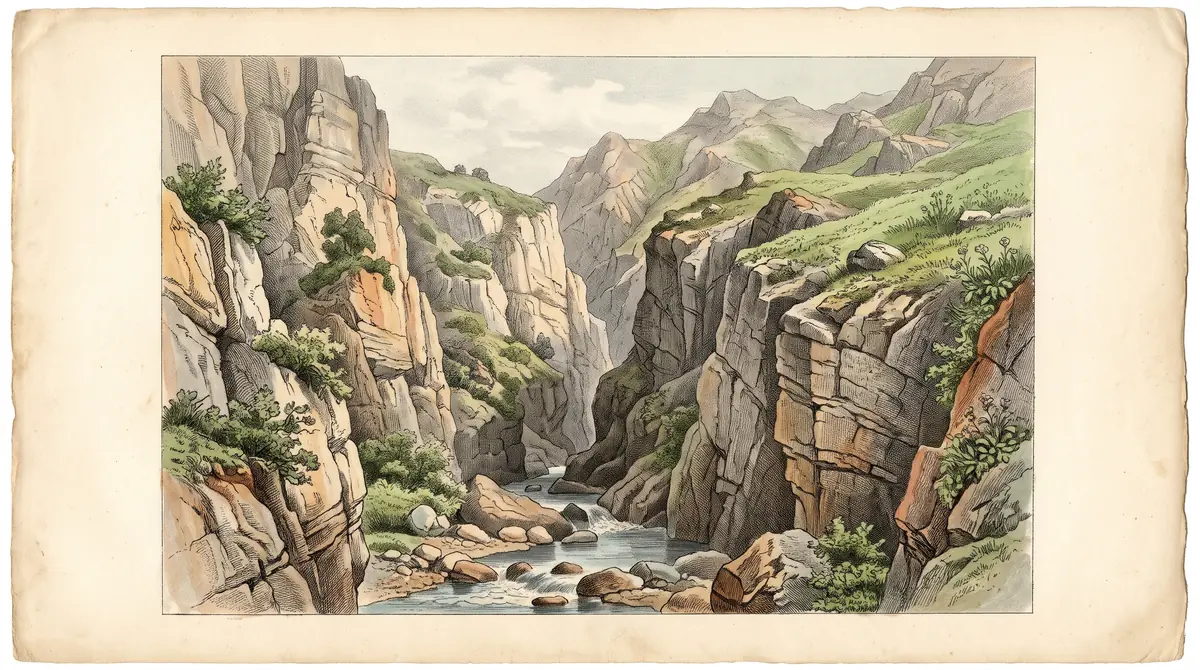
Mashat Canyon is the gorge of the Mashat river in the Mashat-Daubaba mountains of southern Kazakhstan, inside a branch of the Sayram-Ugam National Park. It lies about 63 km in a straight line from Shymkent, and little is published about it.
Mashat Canyon: when to go, month by month
- January: off season
- February: off season
- March: possible
- April: possible
- May: best time
- June: best time
- July: good
- August: good
- September: best time
- October: good
- November: possible
- December: off season
June and September are mild and drier, March and April are the wettest months, and winter lows average around -8 °C.
Mashat Canyon: why go
The Mashat Canyon gorge
The Mashat river cuts its canyon through the Mashat-Daubaba mountains, close to the western end of the Talas Alatau range of the Western Tian Shan.
A branch of Sayram-Ugam park
The canyon lies in the Tulkibas branch of the Sayram-Ugam National Park, formed in 2006 from three forest and wildlife protection agencies.
A drive east from Shymkent
About 63 km in a straight line from Shymkent. The Taraz – Shymkent section of the Western Europe – Western China road through the district is tolled.
Mashat's dry late summer
July to September bring only 12–17 mm of rain a month by ERA5 normals, against about 115 mm in each of March and April.
Mashat near Central Asia's first reserve
The same district holds Aksu-Zhabagly, founded in 1926, the first state nature reserve in Kazakhstan and Central Asia, with a 30 km canyon.
Mashat Canyon in photos
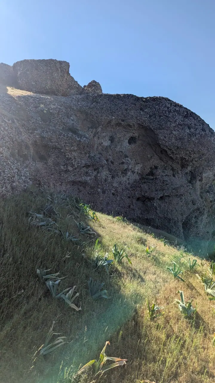
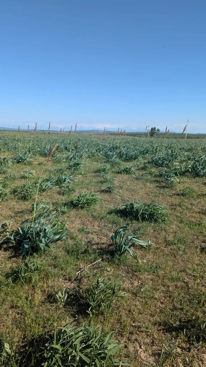
Real photos by travellers (Pexels, Unsplash, Wikimedia Commons); author and licence are given in each caption.
Mashat Canyon is a river gorge in Tulkibas District of Turkistan Region, in the far south of Kazakhstan, about 63 km in a straight line from Shymkent. It sits in the Mashat-Daubaba mountains, within the Tulkibas branch of the Sayram-Ugam National Park. Treat it as a half-day or day outing from Shymkent rather than a destination of its own: the published record is thin, so plan with local information.
Where Mashat Canyon is and what you will find
The canyon belongs to the Mashat river, which rises in the high mountains and has a mixed water supply, according to Wikipedia. It lies in the Mashat-Daubaba mountains, in the south-east of Turkistan Region, close to the western end of the Talas Alatau range of the Western Tian Shan.
For scale on a map of Kazakhstan: Shymkent is about 63 km away in a straight line, Taraz about 97 km, the city of Turkistan about 194 km. Almaty is roughly 550 km away in a straight line, so this is not a side trip from Almaty; it belongs to a southern itinerary built around Shymkent.
| Key point | What we know |
|---|---|
| Type | River canyon of the Mashat |
| Mountains | Mashat-Daubaba |
| Protected area | Tulkibas branch, Sayram-Ugam National Park |
| Branch area | 26,971 ha of the park’s 149,037.1 ha |
| Park created | 26 January 2006 |
| District | Tulkibas, Turkistan Region |
| Shymkent | about 63 km in a straight line |
The table shows what you can count on, and also what is missing. We could not confirm the canyon’s length, depth, trail layout or any viewpoint, so do not expect a signposted circuit until a local source tells you there is one.
It is inside a national park, and the rules are unconfirmed
Mashat Canyon is protected land: the Sayram-Ugam National Park was formed in 2006 by merging the Ugam, Tole Bi and Tulkibas forest and wildlife protection agencies, and the Tulkibas branch includes the canyon. We could not confirm whether entry fees or access restrictions apply here.
The practical cost of getting this wrong is a wasted drive. Before you set off, ask in Shymkent whether a visit needs a park ticket or permit, and whether any part of the gorge is closed.
Getting there takes a car or a driver
No public transport to the canyon is described anywhere we could check, so assume you need a car or a hired driver from Shymkent. The district is crossed by the Western Europe – Western China road corridor, and its Taraz – Shymkent section is a toll road. A railway also runs through the district, with a station at Tulkibas.
That is all we could confirm. Road distance, driving time, the condition of the last stretch to the canyon and whether a standard car copes are all open questions. If you do not speak Russian or Kazakh, arrange the trip through your accommodation in Shymkent and agree the route in writing.
The Russian-language searches for Mashat often mention a camp and a recreation zone. We could not confirm what operates there, in which season, or whether foreigners can stay.
When to go: late spring, early summer and September
June and September are the most comfortable months, with a dry July and August close behind. The climate figures below are computed normals from the ERA5 reanalysis for 2011–2020 at a grid point at 1,036 m, not readings from a weather station in the canyon.
Day high, °C / Night low, °C · Rain/snow, mm
A computed reanalysis normal for these coordinates, not weather station records.
Monthly figures
| Month | Day high, °C | Night low, °C | Rain/snow, mm |
|---|---|---|---|
| Jan | 1 | -6.5 | 88.7 |
| Feb | 2.9 | -5.2 | 88 |
| Mar | 9.9 | 0.8 | 105.2 |
| Apr | 16.3 | 5.9 | 106.3 |
| May | 22.1 | 10.5 | 73.1 |
| Jun | 26.3 | 14.1 | 37.2 |
| Jul | 29.3 | 16.5 | 13 |
| Aug | 28.1 | 15.3 | 13.6 |
| Sep | 23.3 | 10.2 | 17.6 |
| Oct | 15.8 | 4 | 54.6 |
| Nov | 7.1 | -2.2 | 93.7 |
| Dec | 1.5 | -6.5 | 90.7 |
The pattern is clear. Winter is cold, with average lows around -5 °C from December to February and daytime highs of only 1–2 °C. The wettest months are March and April, at about 105–106 mm each, so spring is the wettest season. From July to September rainfall drops to 13–18 mm a month, and July highs average about 29 °C.
| Season | What to expect |
|---|---|
| Dec–Feb | Highs 1–2 °C, lows near -8 °C, wet |
| Mar–Apr | Wettest months, highs 9–15 °C |
| May–Jun | Highs 21–25 °C, rain easing |
| Jul–Aug | Driest and warmest, highs 28–29 °C |
| Sep–Oct | Highs 23 °C falling to 15 °C, dry start |
| Nov | Highs near 7 °C, wet again |
For a walk along the river, the shoulder months win: May, June and September avoid both the spring rains and the hottest weeks.
Combining Mashat with the rest of the south
The same district holds the Aksu-Zhabagly Nature Reserve, founded in 1926 and the first state nature reserve in Kazakhstan and Central Asia. Its Aksu Canyon runs about 30 km and is 300–500 m deep, with a viewing platform opened in 2026 for the reserve’s centenary. We could not confirm the road distance between the two canyons, but both are in Tulkibas District, so they can share a regional trip.
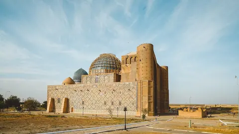
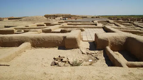
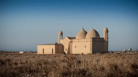
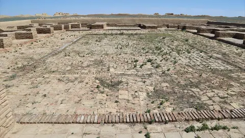
Further west, Shymkent is the base for Turkestan and its mausoleum, the ruins of Otrar and the spa town of Saryagash.
- Road distance, driving time and condition of the final road to the canyon
- Whether the national park charges entry or requires a permit
- Length, depth and walking routes of the canyon
- Which camps or recreation zones operate at Mashat and in which months
- Any public transport from Shymkent
Mashat Canyon: tips before you go
- Avoid March and April if you want firm ground: they are the wettest months, at about 114–117 mm of rain each by ERA5 normals.
- Budget for a toll if you drive the Taraz – Shymkent section of the Western Europe – Western China road.
- Ask in Shymkent whether the Sayram-Ugam National Park charges entry or needs a permit for the Mashat branch.
- In July and August highs average near 29 °C with almost no rain, so carry water and start early for any walk.
More to see nearby


Frequently asked questions
How far is Mashat from Shymkent?
What is the weather in Mashat like?
Is there a camp or recreation zone at Mashat?
Which park is Mashat Canyon in?
Sources
Read also
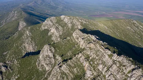 Kazygurt Mountain, the limestone ridge south of Shymkent tied to Noah's Ark
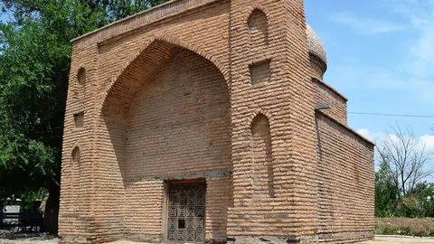 Sairam: the ancient Silk Road town of Isfijab on the edge of Shymkent
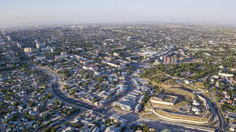 Things to do in Shymkent and how to use it as a base in southern Kazakhstan
- Where to go from Shymkent: shrines, Silk Road ruins, canyons and spas
-
A South Kazakhstan itinerary from Shymkent to Turkistan and Otrar, day by day
- What to see in Turkistan, Kazakhstan: shrines, ruined cities and spas of the Turkistan Region