Lake Zhasylkol, an earthquake-dammed lake in the Dzungarian Alatau: when to go, month by month
- January: off season
- February: off season
- March: off season
- April: off season
- May: possible
- June: good
- July: best time
- August: best time
- September: best time
- October: possible
- November: off season
- December: off season
July to September bring the mildest weather at about 1,650 m, while November to March stay near or below freezing and spring is the wettest period.
Lake Zhasylkol, an earthquake-dammed lake in the Dzungarian Alatau: why go
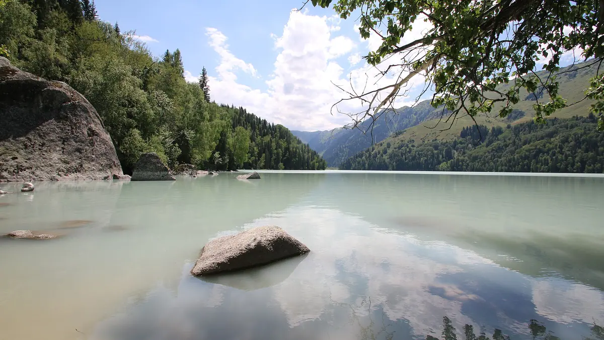
Lake Zhasylkol's emerald water
About 2.07 km long and 751 m wide, the lake turns bright green during glacier melt, turquoise at noon and ultramarine under a blue sky.
A lake made by an earthquake
Several millennia ago a rockfall from the right slope dammed the valley, creating a lake now estimated at 30 to 50 m deep.
The forest trail to Zhasylkol
A path of about 10 km follows the Agynykatty valley through fir, spruce and aspen; the Zhalanash ranger cordon lies more than 13 km beyond.
Zhasylkol in summer and autumn
July highs average about 20 °C at 1,655 m. In autumn glacier melt stops and the silty summer water clears to transparent blue.
Wild apples of the Dzungarian Alatau
The range keeps 49% of Kazakhstan's wild apple trees by Wikipedia, including the Sievers apple, ancestor of most domestic apples.
Lake Zhasylkol, an earthquake-dammed lake in the Dzungarian Alatau in photos
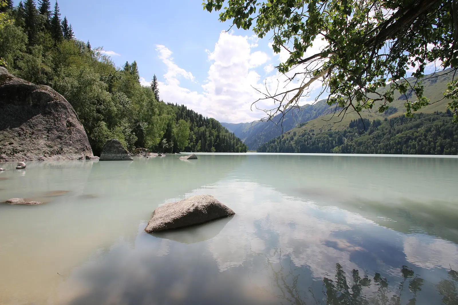
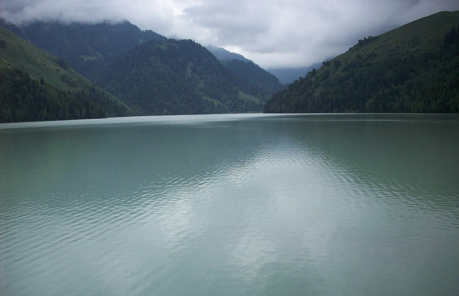
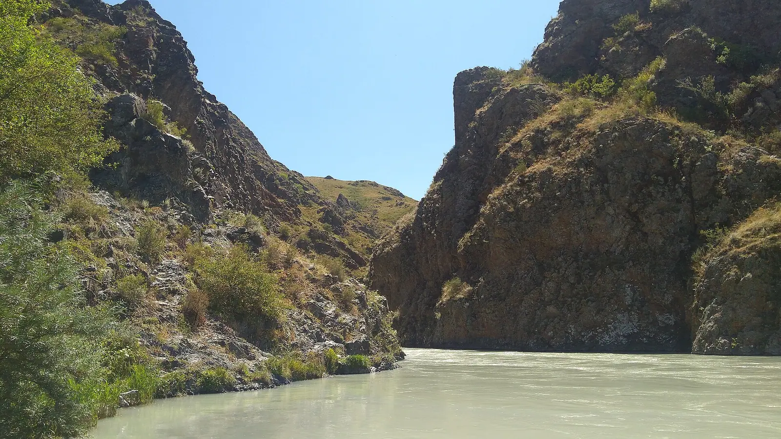
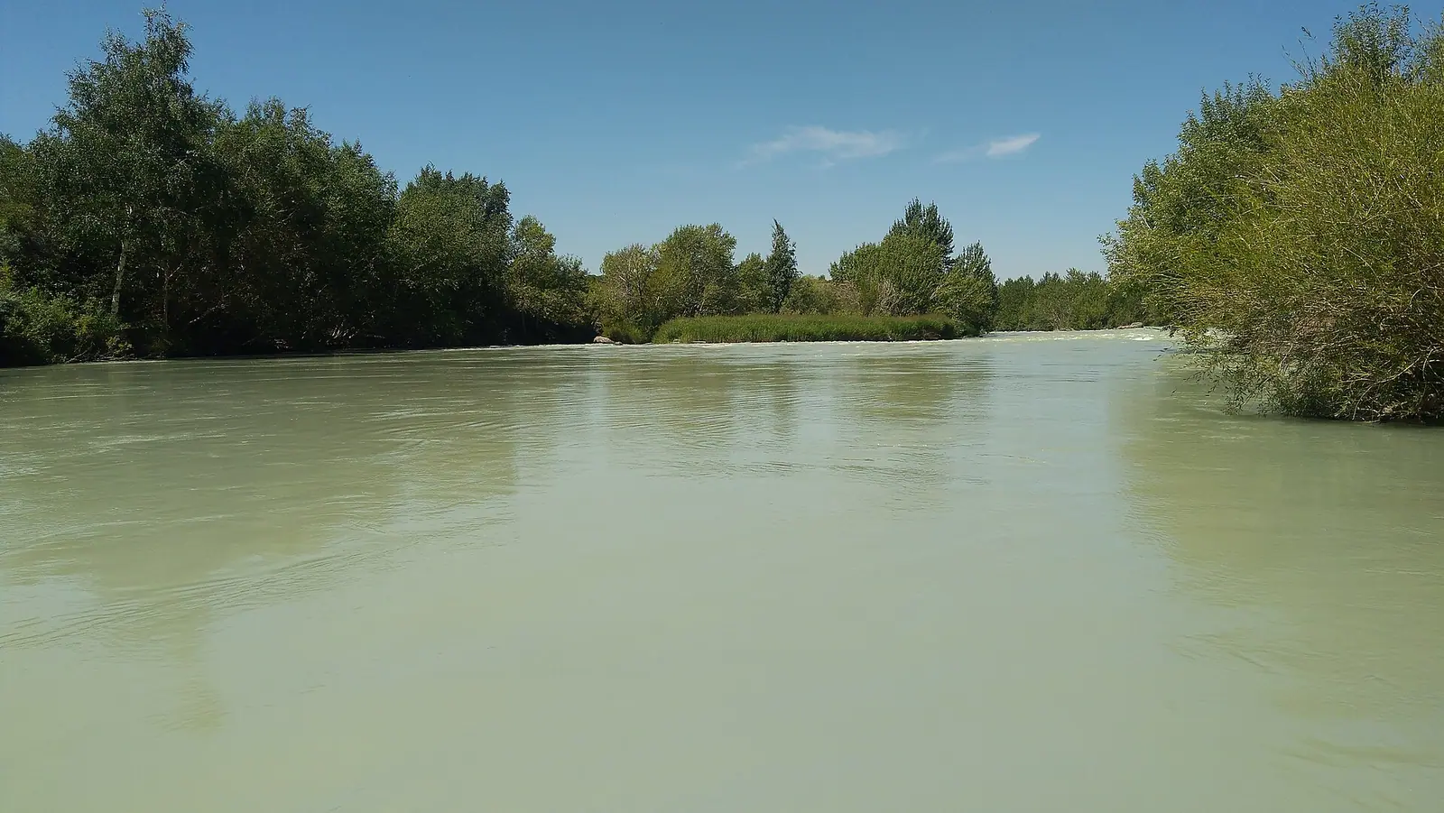
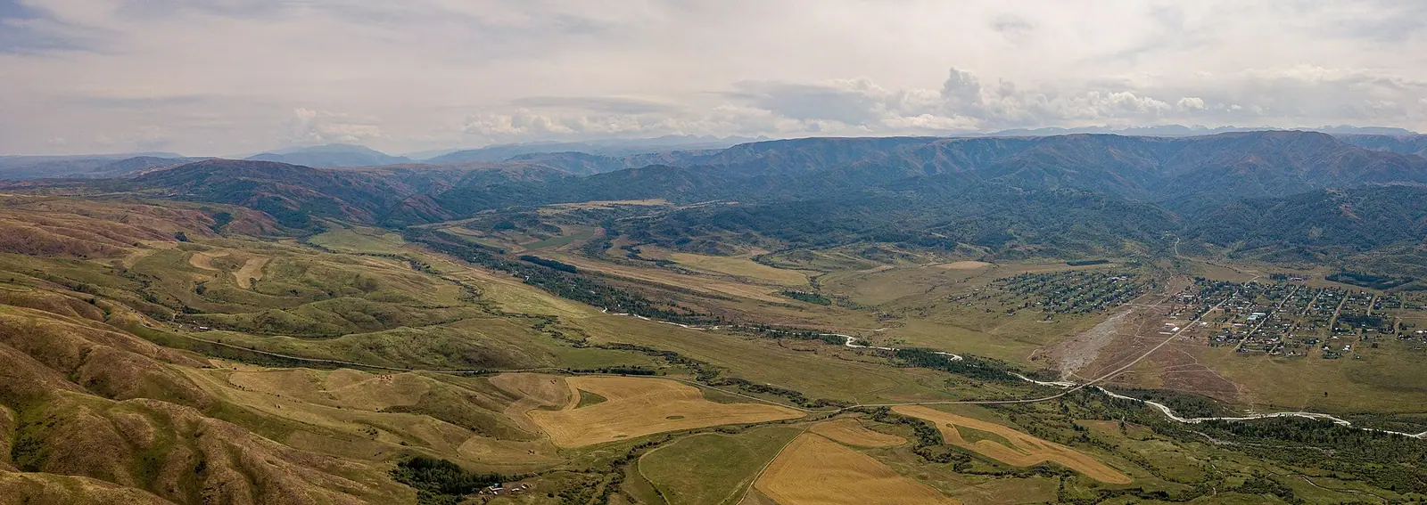
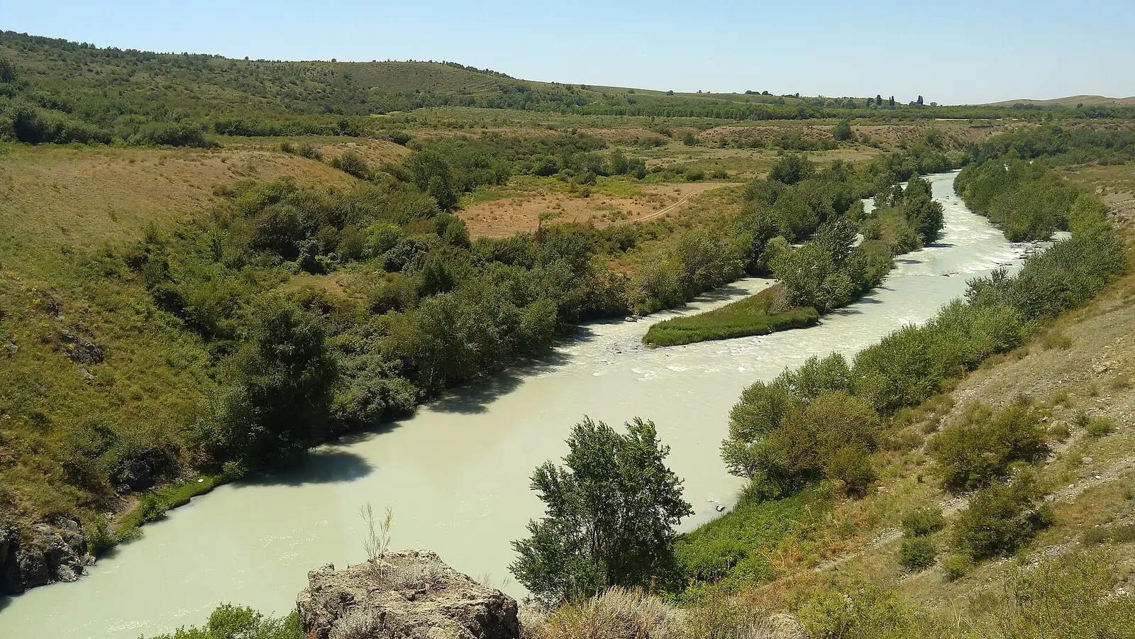
Real photos by travellers (Pexels, Unsplash, Wikimedia Commons); author and licence are given in each caption.
Lake Zhasylkol is a mountain lake in the Dzungarian (Zhetysu) Alatau in Jetisu Region, in Kazakhstan’s far east, about 378 km in a straight line from Almaty. It formed when an earthquake brought down a rockfall that dammed a river valley, and English Wikipedia describes a path of about 10 km from an apiary along the Agynykatty valley to the lake. This is a remote, self-organised mountain trip, not a day out from the city.
Where Lake Zhasylkol is and what kind of trip it demands
The lake sits on the northern slope of the Dzungarian Alatau, inside Zhongar-Alatau National Park, south-west of the village of Lepsinsk (Lepsy). The nearest regional city with a straight-line figure is Taldykorgan, about 177 km away; Almaty is about 378 km and Oskemen about 530 km, all in a straight line, so road distances will be longer.
Sources do not agree on how far the lake is from the village: Russian Wikipedia gives 15 km south-west of Lepsy, English Wikipedia 23 km south-west of Lepsinsk, and Kazakh Wikipedia about 33 km east of the village of Ekiasha. The last stretch is on foot. English Wikipedia describes a path of about 10 km along the Agynykatty valley from an apiary to the lake, and more than 13 km from the lake on to the Zhalanash ranger cordon.
For a visitor without a car or Russian, this is the hard part. We could not confirm any public transport to Lepsinsk, where the trail starts exactly, or what rules apply in a park so close to the state border. Until the 1980s almost nobody came here, because the border with China runs nearby.
A lake held back by a rockfall
Zhasylkol is a dammed lake: an earthquake several millennia ago sent a stone blockage down from the right slope and closed the river channel. Russian Wikipedia names the dammed river as the Agynykatty; English Wikipedia names the Kikozen, described as one of the sources of the Agynykatty. The lake lies in the Agynykatty valley either way.
The figures below come from English Wikipedia except where noted. The depth is only an estimate, so treat it as a range rather than a measurement.
| Feature | Figure |
|---|---|
| Altitude | 1,630 m (Russian and Kazakh Wikipedia) or 1,640 m (English Wikipedia) |
| Length, north to south | 2.07 km |
| Greatest width | 751 m, in the northern part |
| Depth | presumably 30–50 m |
| Surface area | about 0.91 km² |
| Summer water temperature | not above 10 °C |
| Protected status | part of Zhongar-Alatau National Park |
Water that stays at or below 10 °C even in summer means a swim is a brief cold plunge at most. The lake is small enough to walk along, but we could not confirm whether a shore path runs its full length.
Why the colour changes through the year
The name means green, and locals call it the emerald lake, but its colour depends on the season, the hour and the sky. The streams that feed it start at glaciers, so in spring and summer the water carries meltwater silt and turns muddy, described as the colour of coffee with milk. Once the cold returns and glacier melt stops, the water clears to a transparent blue.
During the day the shade shifts again: turquoise at noon, ultramarine under a blue sky, leaden in cloudy weather. When the glaciers are melting, the lake looks bright green, especially from above. If you want clear blue water, the sources point to autumn; if you want the green, look for a vantage point above the shore.
When to go: June to September
English Wikipedia gives May to October as the travel season, and the climate figures support the core of that window. The numbers below are computed normals for 2011–2020 from the ERA5 reanalysis at a grid point at 1,655 m, not a weather station; that is close to the lake’s own altitude.
Day high, °C / Night low, °C · Rain/snow, mm
A computed reanalysis normal, not weather station records. Temperature is from ERA5-Land (about 9 km grid); precipitation is from ERA5, a value for a cell about 25 km wide rather than a mountain station, so it may miss extra mountain precipitation.
Monthly figures
| Month | Day high, °C | Night low, °C | Rain/snow, mm |
|---|---|---|---|
| Jan | -6.9 | -16.2 | 25.2 |
| Feb | -3.5 | -13.9 | 25.6 |
| Mar | 2.7 | -8 | 46.9 |
| Apr | 8.8 | -2 | 84.6 |
| May | 13.9 | 2.1 | 81.2 |
| Jun | 17.9 | 7.3 | 73.9 |
| Jul | 20.2 | 9.7 | 65.7 |
| Aug | 19.4 | 8.6 | 62 |
| Sep | 14.8 | 3.6 | 53.9 |
| Oct | 7.6 | -4.5 | 59.7 |
| Nov | -0.9 | -11.9 | 59 |
| Dec | -5.7 | -14.6 | 32.9 |
Source: Open-Meteo: ERA5-Land (temperature) and ERA5 (precipitation), 2011–2020
July and August are the warmest months, with average highs around 20 °C and nights around 9–10 °C, so warm layers are needed even in summer. April and May are the wettest, with about 85 mm of precipitation each, which makes a forest trail muddy. September is cooler, with highs near 15 °C and nights around 4 °C, and it falls when glacier melt slows and the water starts to clear. From November to March average highs stay below or near freezing.
| Period | What to expect |
|---|---|
| April–May | Wettest months; nights near or below freezing in April; water turning silty |
| June–August | Mildest weather; glacier melt, so water often milky or green |
| September | Cool nights; melt easing, water beginning to clear |
| October | Highs near 8 °C, frosty nights; clearer water, shorter days |
| November–March | Average highs below or near freezing; a winter hike is a serious undertaking |
Forest, marals and wild apples on the way
Dense forest begins at about 1,200 m, with fir, spruce, aspen, birch and poplar, and deciduous groves grow on the lake shore. The area around Zhasylkol holds a large population of maral, the Central Asian red deer, mentioned by all three Wikipedia versions.
The Dzungarian Alatau also keeps a large share of Kazakhstan’s wild apple trees, 49% according to English Wikipedia, including the Sievers apple, regarded as the ancestor of most domestic apples. English Wikipedia also notes the quiet of the place, with little noise beyond natural sounds.
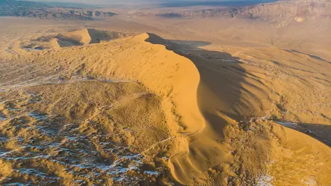
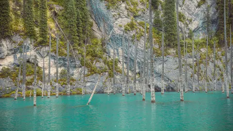
If you are planning a wider loop through the region, the hot springs at Zharkent-Arasan are the nearest other page on this site, about 132 km in a straight line. The Singing Dune in Altyn-Emel is about 232 km away in a straight line, and Kaindy Lake is another page on this site, about 315 km away in a straight line.
- Whether any public transport runs to Lepsinsk, and the road condition from Taldykorgan.
- Exactly where the trail to the lake starts and whether it is marked.
- Whether Zhongar-Alatau National Park charges entry or requires registration.
- Whether a border-zone permit is needed, given how close the area is to the Chinese border.
- Where to stay overnight near the trailhead or the lake.
Lake Zhasylkol, an earthquake-dammed lake in the Dzungarian Alatau: tips before you go
- Pack warm layers even in July: average night lows at the lake's altitude are around 10 °C, and about 4 °C by September.
- Avoid April and May if you dislike mud: they are the wettest months, with about 90 mm of precipitation each.
- For clear blue water aim for early autumn, when glacier melt slows; summer water is often silty and milky.
- The water stays at or below 10 °C in summer, so plan any swim as a short cold plunge with dry clothes ready.
More to see nearby


Frequently asked questions
How was Lake Zhasylkol formed?
How deep is Lake Zhasylkol?
Can you swim in Lake Zhasylkol?
Why is the water not always green?
How far is Lake Zhasylkol from Almaty?
Sources
Read also
 Almaty Zoo in Kazakhstan: opening hours and how to visit
 Ayusai Gorge, Almaty: visitor centre and waterfall trail
 Gorelnik Gorge above Medeu: waterfalls, trail and season
 Kamenskoe Plateau above Almaty: observatory and trails
 Pervomaiskie Ponds near Almaty: location, swimming, season
 Saty village: base for the Kolsai and Kaindy lakes