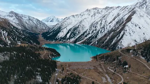
Lake Balkhash in Kazakhstan: when to go, month by month
- January: off season
- February: off season
- March: off season
- April: possible
- May: possible
- June: best time
- July: best time
- August: best time
- September: good
- October: possible
- November: off season
- December: off season
The lake is frozen from November to early April, and only June to August combine warm air with water near 28 °C.
Lake Balkhash in Kazakhstan: why go
Lake Balkhash's two-coloured water
West of the Uzynaral strait the water is yellow-grey and cloudy; east of it, it turns bluish to emerald-blue, with visibility around 5.5 m.
A lake that shrinks and recovers
After the Kapshagay dam on the Ili in 1970 the level fell 2.2 m by 1987, then recovered to 342.5 m by January 2005 after a wet late 1990s.
Balkhash city on the northern shore
The largest lakeside town, Balkhash, sits on the north shore, and part of the Bishkek-Karaganda motorway runs along the lake's western shore.
Summer water at Lake Balkhash
Surface water warms from 0 °C in December to about 28 °C in July, while the lake freezes each year between November and early April.
Big waves on a shallow lake
The average depth is only 5.8 m, yet steady winds of 4.5-4.8 m/s can raise waves of 2-3.5 m on Lake Balkhash.
Lake Balkhash in Kazakhstan in photos
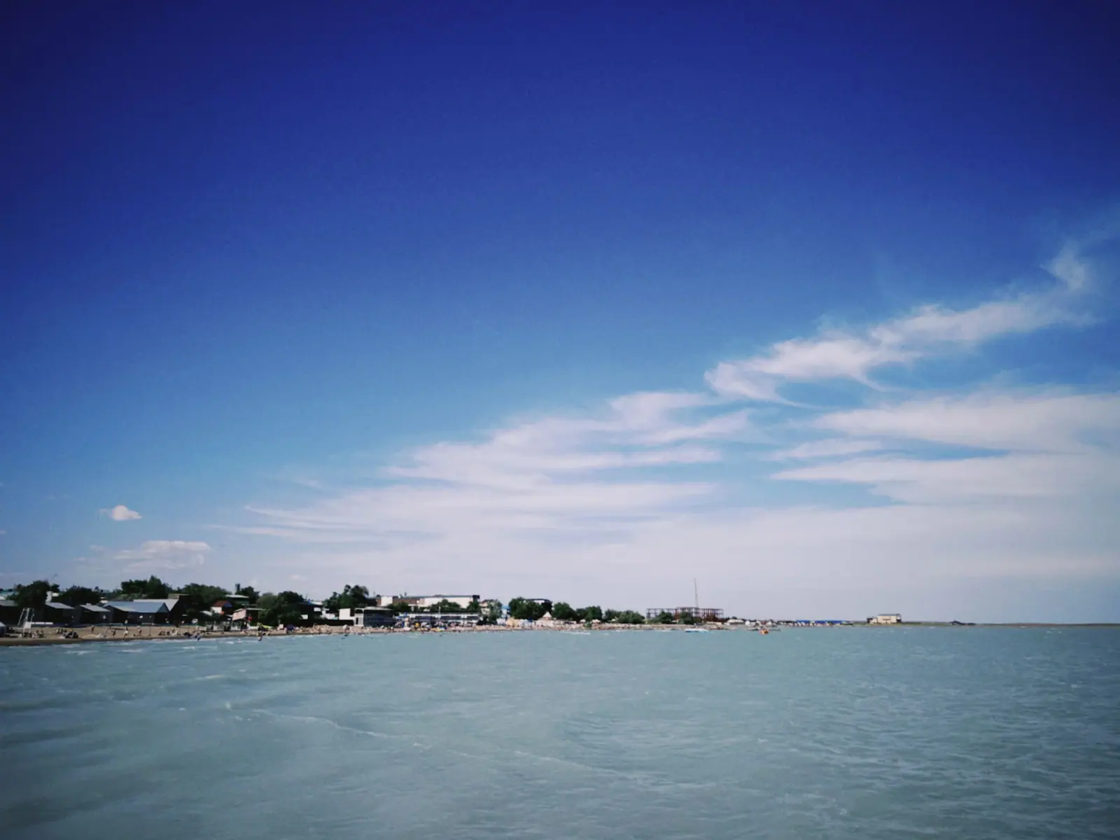
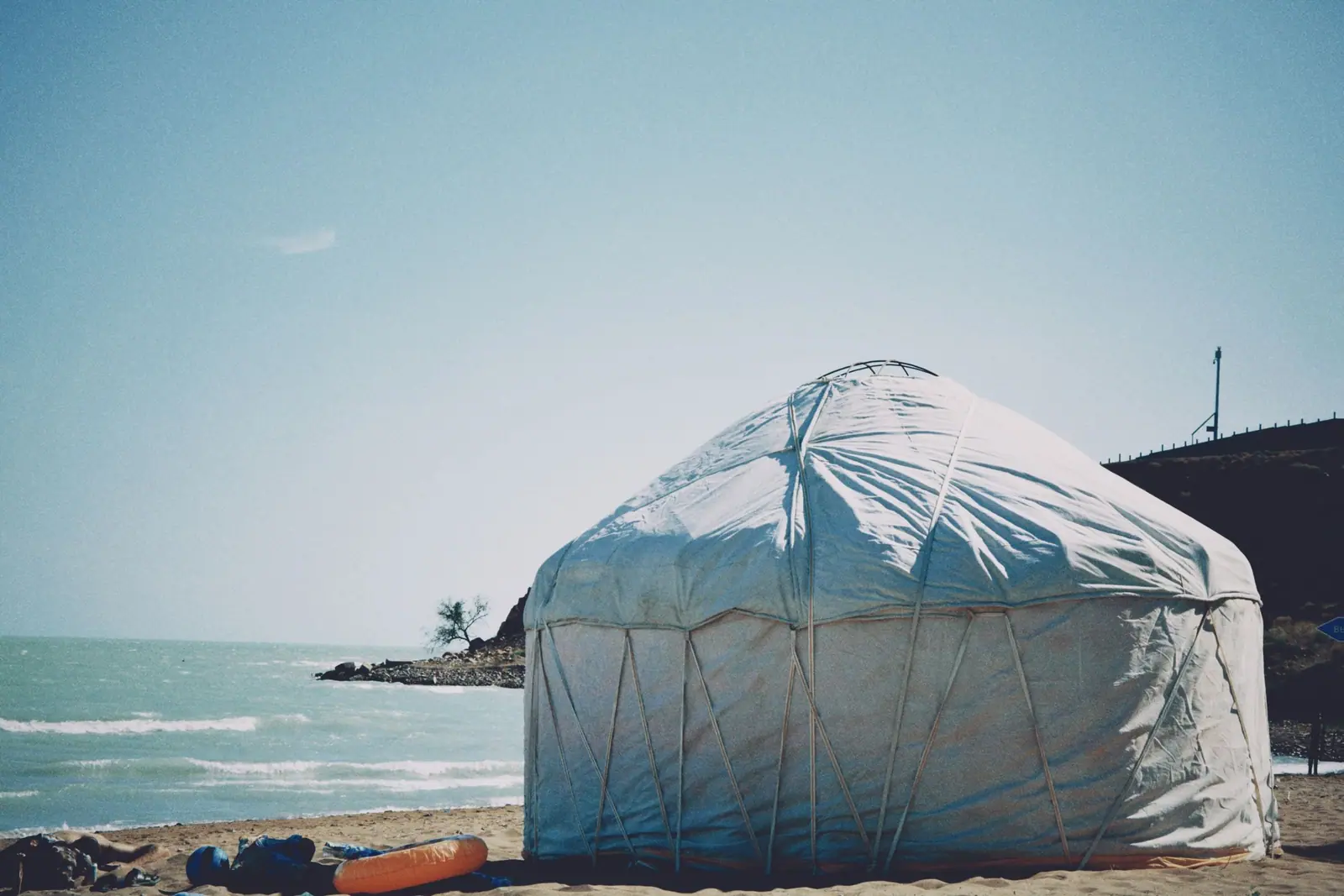
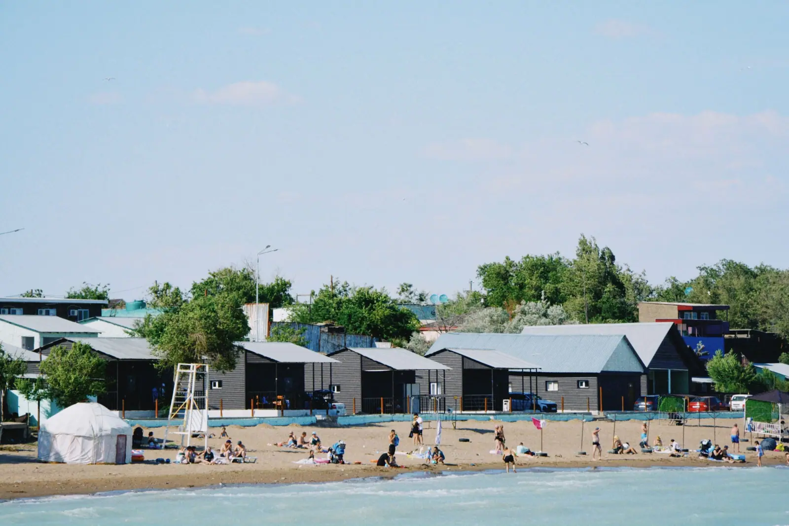
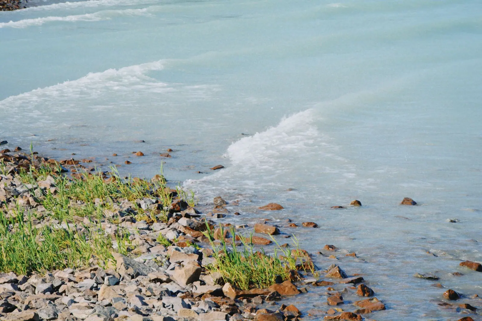
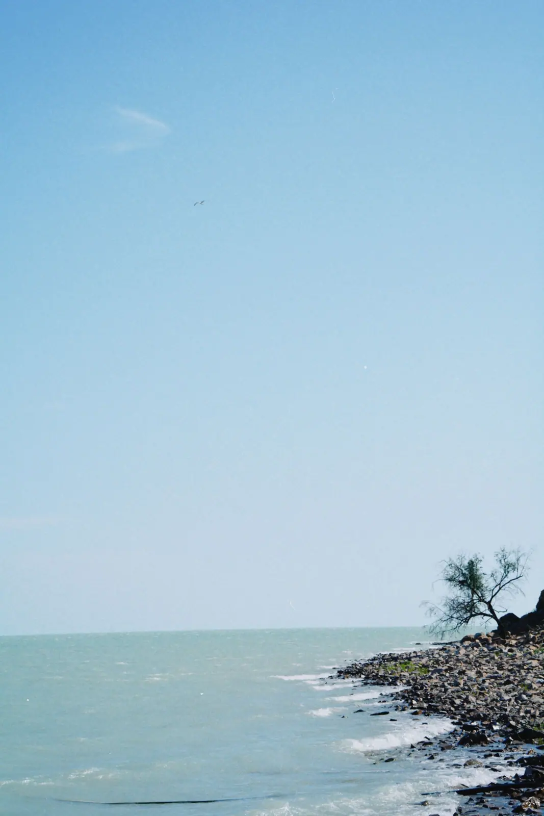
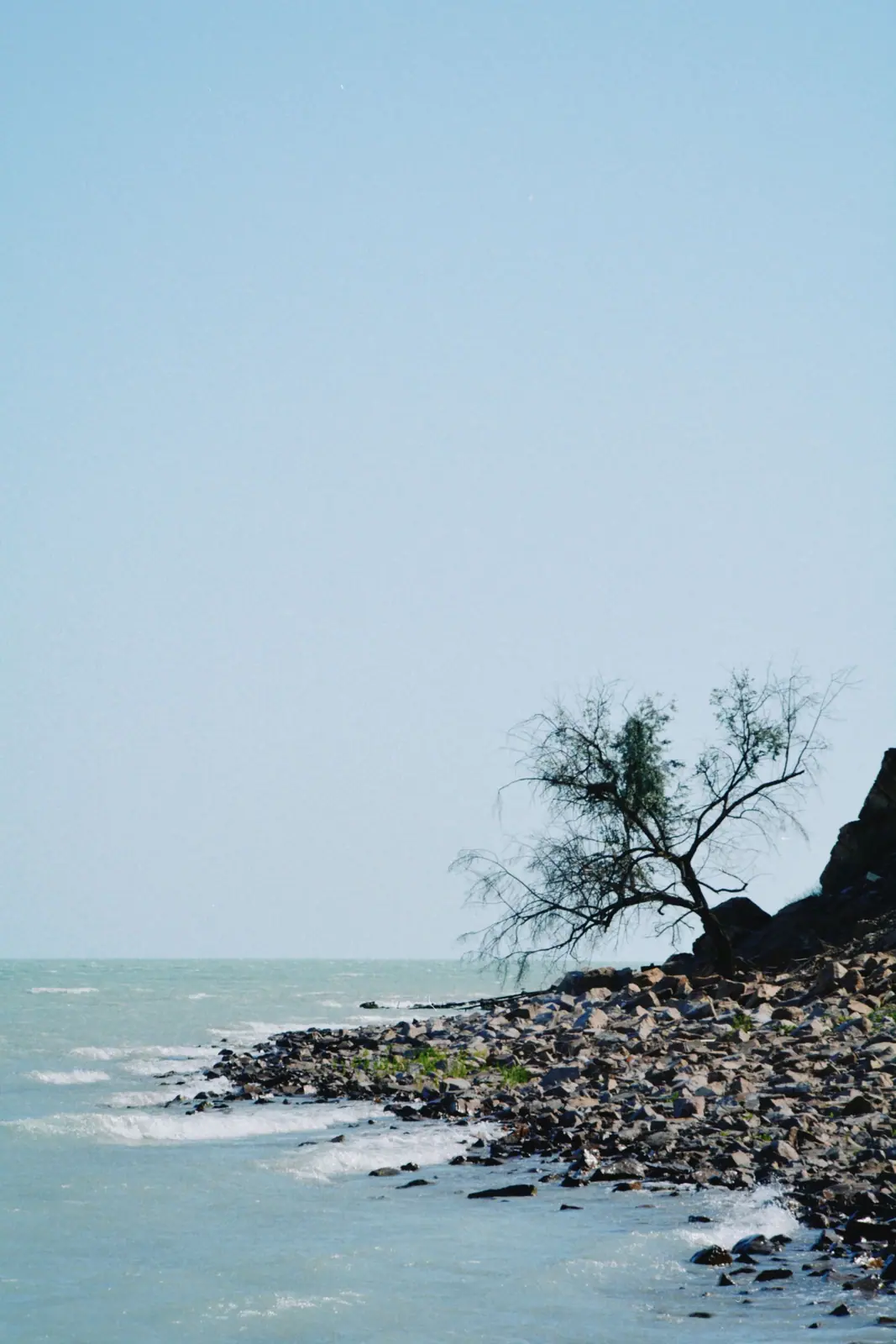
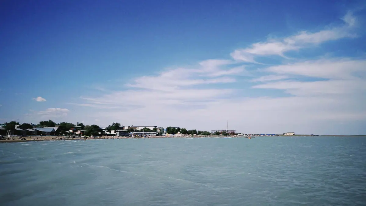
Real photos by travellers (Pexels, Unsplash, Wikimedia Commons); author and licence are given in each caption.
Lake Balkhash is a closed-basin lake in south-eastern Kazakhstan, about 600 km long and roughly 16,400 km² in area (figure for 2000), the largest lake lying wholly inside the country. Its western half is nearly fresh and its eastern half is saline, and the two look different. The lake sits about 400 km in a straight line north of Almaty, so it is a full trip of its own rather than a side visit.
Where is Lake Balkhash located
Lake Balkhash lies in the Balkhash-Alakol Basin in south-eastern Kazakhstan and touches four regions: Almaty, Zhambyl, Karaganda and Zhetysu. To the north rise the low hills of the Kazakh Uplands, to the west lies the Betpak-Dala desert, and to the south are the Chu-Ili mountains and the Taukum and Saryesik-Atyrau sands.
It is an endorheic lake: rivers flow in, none flow out. The Ili, which rises in the Tian Shan in China’s Xinjiang, supplies 73-80% of the inflow. The Karatal, Aksu and Lepsy feed the eastern part.
| Key figure | Value |
|---|---|
| Length | about 600 km |
| Width | 9-19 km in the east, up to 74 km in the west |
| Surface area | about 16,400 km² (2000) |
| Surface elevation | about 340 m above sea level |
| Average depth | 5.8 m |
| Maximum depth | 26 m (English Wikipedia) or 27 m (Russian Wikipedia) |
| Volume | about 112 km³ |
| Islands | 43, total 66 km² |
| World ranking | 14th or 15th largest lake, depending on the source |
The table shows a lake that is enormous in area but very shallow. That matters on the water: shallow lakes warm quickly in summer and react sharply to wind.
A map of Lake Balkhash: two lakes joined by one strait
On a map of Lake Balkhash, the Saryesik peninsula near the middle splits it into two halves that behave like separate lakes. They connect only through the Uzynaral strait, about 3.5 km wide and about 6 m deep.
| Western half | Eastern half | |
|---|---|---|
| Share of surface | 58% | 42% |
| Share of volume | 46% | 54% |
| Water | nearly fresh, about 0.74 g/L dissolved solids | saline, 3.5-6 g/L |
| Visibility | about 1 m, cloudy | about 5.5 m |
| Colour | yellow-grey | bluish to emerald-blue |
| Main inflow | Ili | Karatal, Aksu, Lepsy, groundwater |
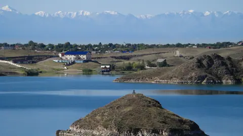
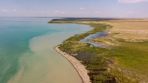
The shores differ too. The western and northern shores are high and rocky, 20-30 m, made of granite, porphyry, tuff, schist and limestone. The southern shore near the Ili delta is low and sandy, 1-2 m high, often flooded and dotted with pools. If you want a rocky lakeside view, look north and west; the south is wetland and reed country.
Why is Lake Balkhash so blue
Only the eastern half is the blue lake seen in photographs. There the water carries less silt in suspension, visibility reaches about 5.5 m, and the colour ranges from bluish to emerald-blue.
The western half, fed directly by the Ili, is cloudy, with visibility of about 1 m and a yellow-grey tint. Its water is used for drinking and industry. A traveller who arrives on the western shore expecting turquoise water will be disappointed, so check which half a given shore point belongs to before committing to the drive.
Balkhash city and the practical side of a visit
The largest town on the lake is Balkhash, on the northern shore, with 66,724 inhabitants in 2010 by Wikipedia. It is an industrial town with a large mining and metallurgy plant; copper was found in the area in 1928-1930. Part of the motorway between Bishkek and Karaganda runs along the western shore.
In straight lines, the centre of the lake is about 320 km from Taldykorgan, 343 km from Konaev, 386 km from Karaganda and 400 km from Almaty. Road distances will be longer. We could not confirm bus or train schedules, journey times, or where along the shore there are organised places to stay or swim. For a traveller with no car and no Russian, this is the main obstacle: plan the transport before anything else.
The Ili, the lake’s main feeder, is dammed at Kapshagay, where the Kapshagay Reservoir formed.
When to go to Lake Balkhash
June to August is the warmest window: the air is warm and the water is at its warmest. The figures below are computed ERA5 normals for 1991-2020 at a grid point at about 341 m, essentially at lake level. The grid point sits on or beside the water, so summer days on land around the lake are likely to be hotter than shown.
Day high, °C / Night low, °C · Rain/snow, mm
A computed reanalysis normal for these coordinates, not weather station records.
Monthly figures
| Month | Day high, °C | Night low, °C | Rain/snow, mm |
|---|---|---|---|
| Jan | -8.4 | -13.7 | 11 |
| Feb | -6.4 | -12.7 | 9.7 |
| Mar | 2.8 | -4.3 | 16.1 |
| Apr | 12.7 | 4.8 | 7.8 |
| May | 22 | 13.3 | 15.5 |
| Jun | 27.7 | 19.6 | 14.4 |
| Jul | 29.4 | 21.1 | 9 |
| Aug | 27.5 | 19.2 | 7.5 |
| Sep | 20.6 | 13 | 3.3 |
| Oct | 11.2 | 5.3 | 13.4 |
| Nov | 1.1 | -3.7 | 15.6 |
| Dec | -5.5 | -10.8 | 15 |
July averages a high of about 29.4 °C and a low near 21.1 °C; June and August are close behind. May and September are milder, with highs around 19-20 °C. Winter is hard: January averages about -8.4 °C by day and -13.7 °C at night, and the lake freezes every year from November to early April, with the eastern part thawing 10-15 days later. The whole year brings only about 130-140 mm of precipitation, and August and September are the driest months.
Surface water warms from 0 °C in December to about 28 °C in July, which makes midsummer the warmest time for the water. Wind is the other factor: average speeds of 4.5-4.8 m/s can raise waves of 2-3.5 m.
A lake that rises and falls: water level, fishing and birds
Balkhash changes size over time, and the recent changes are tied to water taken from its rivers. The Kapshagay hydroelectric dam on the Ili was built in 1970; between 1970 and 1987 the level fell by 2.2 m and the volume by 30 km³. The level reached 340.65 m in 1987, then recovered to 342.5 m by January 2005 after exceptional rain in the late 1990s. In 1910 the lake was estimated at 23,464 km², and in 1946 at 15,730 km².
The lake hosted about 20 fish species, six of them native, including Balkhash perch and two marinkas. Commercial fishing focused on carp, perch, asp and bream, and fishing remains part of the local economy. Biodiversity has declined since 1970 as water quality worsened. We could not confirm current fishing rules or whether permits are needed.
About 120 bird species are recorded, including cormorants, marbled teal, golden eagle and great egret; endangered ones include great white and Dalmatian pelicans, Eurasian spoonbill and white-tailed eagle. The reed beds of the Ili delta were their main refuge, but the delta shrank from 3,046 to 1,876 km² after 1970. For a side-by-side view of the three big waters, see Alakol, Balkhash or Kapshagay.
- Bus, train or flight options and journey times to Balkhash city and other shore points
- Where along the shore there are organised beaches or places to stay
- Current fishing rules, seasons and whether a permit is needed
- Road conditions to the eastern, clearer half of the lake
- Current water level, since the latest figure we could confirm is from 2005
Trains from Almaty and Karaganda are listed in trains to the lakes, and closed seasons in fishing in Kazakhstan.
Lake Balkhash in Kazakhstan: tips before you go
- Check which half you are heading to: the clear blue water is in the east, the western shore is cloudy and nearly fresh.
- Aim for July: highs near 28 °C and under 15 mm of rain at the lake; land shores are likely hotter, so carry shade and water.
- Watch the wind: waves of 2-3.5 m are recorded, so avoid small boats or swimming far out on a blowy day.
- Budget for distance: about 400 km in a straight line from Almaty and 386 km from Karaganda; road routes are longer.