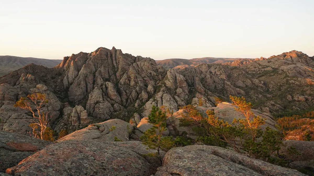
Kyzylarai Mountains: when to go, month by month
- January: off season
- February: off season
- March: off season
- April: possible
- May: good
- June: best time
- July: best time
- August: best time
- September: good
- October: possible
- November: off season
- December: off season
June to August are the only months with mild days and nights above 10 °C, while November to March stay below freezing by day.
Kyzylarai Mountains: why go
Mt Aksoran, top of Kyzylarai
At 1,565 m Aksoran is the highest point of the Kazakh Uplands and of Central Kazakhstan, rising from red granite of ancient volcanic origin.
Begazy burial grounds
Bronze Age tombs that named the Begazy-Dandybai culture; archaeologist Alkey Margulan studied them and bronze arrowheads were found in the necropolis.
A long road into the steppe
Kyzylarai lies about 232 km in a straight line from Karaganda and 420 km from Astana, with the village of Shabanbay Bi as the base at its foot.
Kyzylarai's short summer
July highs average about 24 °C with nights near 13 °C at 1,062 m; from November to March daytime highs stay below freezing.
Pine forest in the steppe
Kazakh Wikipedia notes Kyzylarai is the southernmost low range on Kazakhstan's plains where pine grows, with birch and aspen in its valleys.
Kyzylarai Mountains in photos
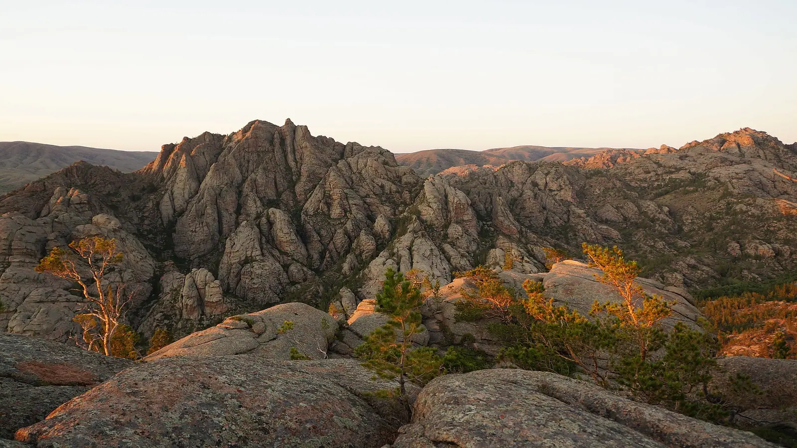
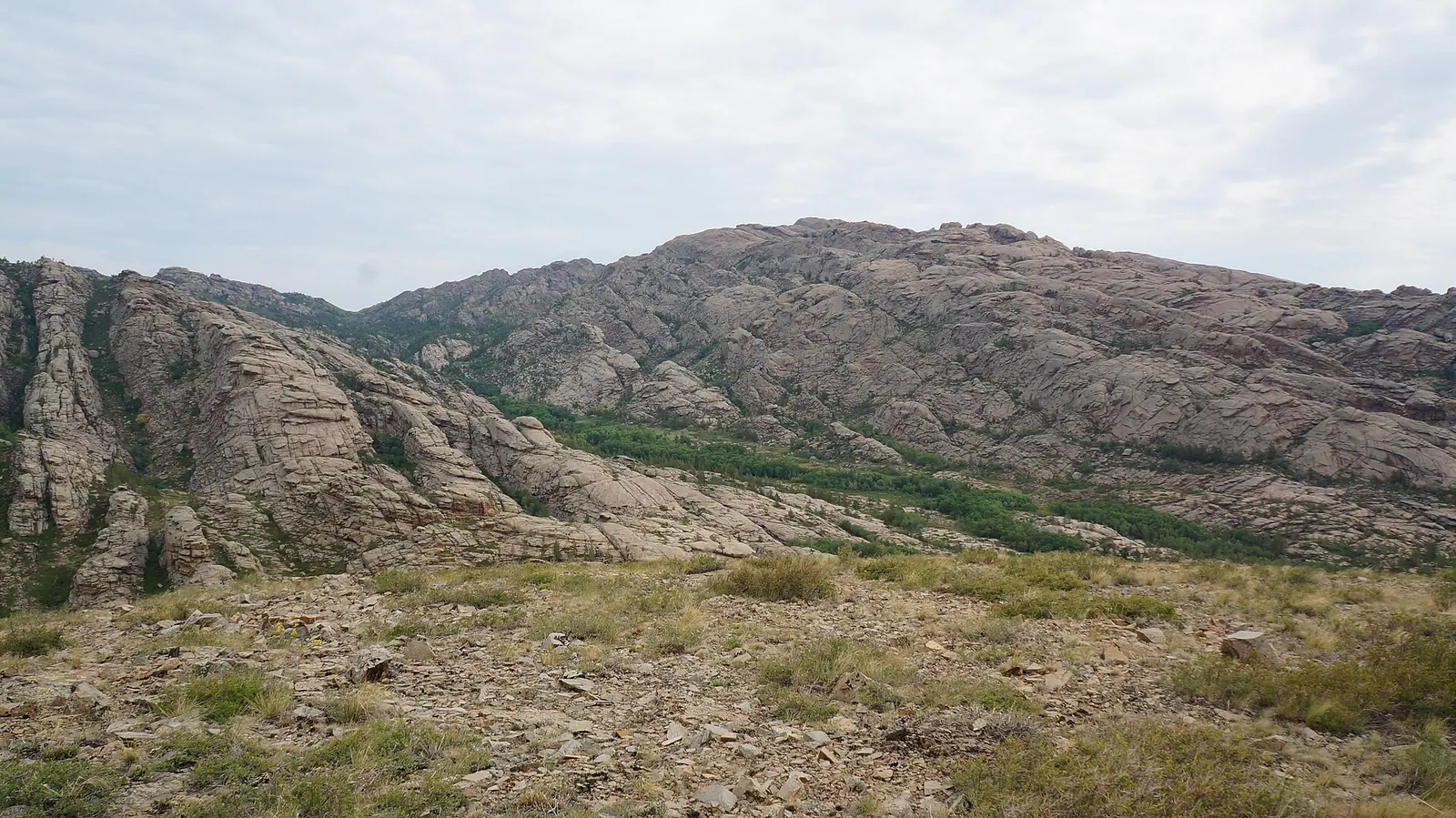
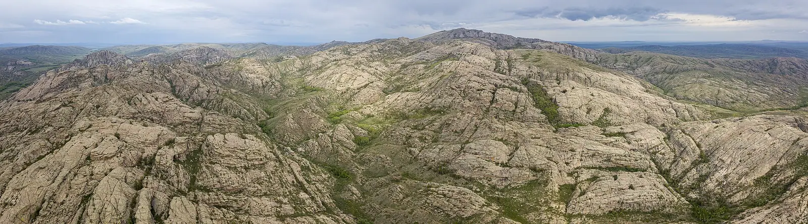
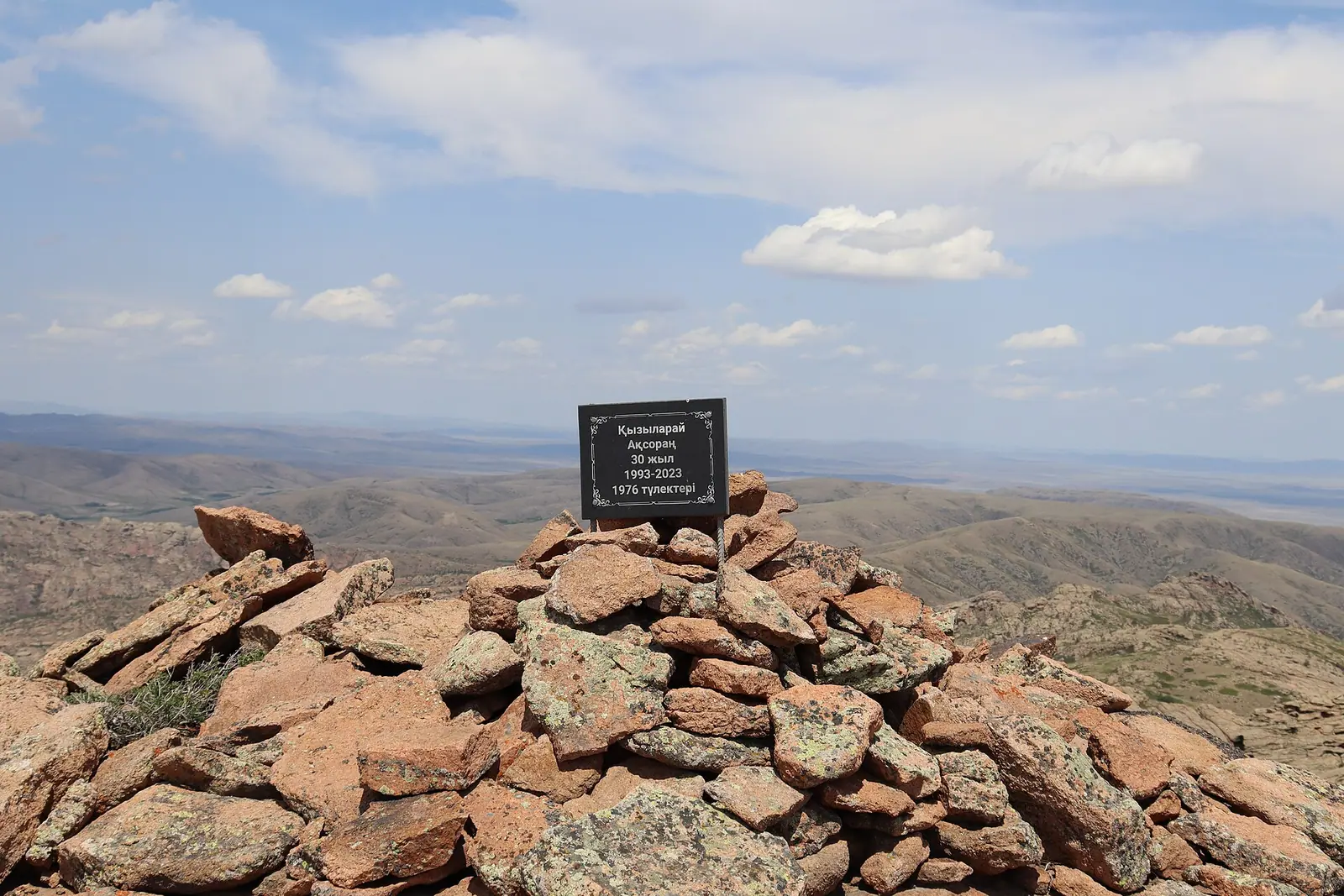
Real photos by travellers (Pexels, Unsplash, Wikimedia Commons); author and licence are given in each caption.
The Kyzylarai Mountains are a granite massif in Aktogay District of Karaganda Region, in the dry heart of Kazakhstan between the Karkaraly Range and Lake Balkhash. Their summit, Mt Aksoran at 1,565 m, is the highest point of the Kazakh Uplands and of Central Kazakhstan. Come for pine forest in the steppe, argali sheep and the Bronze Age tombs of Begazy, but expect a long overland trip with little public information on access.
Where Kyzylarai is and what kind of trip it demands
Kyzylarai sits far from both of Kazakhstan’s main cities: about 232 km in a straight line from Karaganda and about 420 km from Astana. Almaty is further still; Kok-Tobe above the city is about 590 km in a straight line. Road distances will be longer, and we could not confirm road conditions or any bus route.
Wikipedia names the village of Shabanbay Bi at the foot of the mountains, described as popular with ecotourism visitors. Local residents there organise walks to archaeological sites and introduce guests to Kazakh culture. For a traveller without a car or Russian, that village contact is the realistic way in, but we could not confirm how to arrange it in advance.
| Fact | Figure |
|---|---|
| Location | Aktogay District, Karaganda Region |
| Highest point | Mt Aksoran, 1,565 m |
| Size | 70 km wide, 56 km long (Russian Wikipedia); 70 km long, up to 50 km wide (Kazakh Wikipedia) |
| Main ridge | about 25 km long |
| Western end | Shokpartas 980 m; Aktogay peak on Karazhumak 1,031 m |
| Base village | Shabanbay Bi |
The size figures disagree between language editions, so treat the massif as roughly 50–70 km across. What matters for planning: this is a multi-day trip from Karaganda, not a day out.
Aksoran and the red granite: what the mountains look like
The draw is a block of red, layered rock standing above flat steppe, high enough to carry pine forest. The name joins the Kazakh word for red with arai, a Mongolian word for peak, so Kyzylarai reads as “red peak, high place”.
The rocks are remnants of ancient volcanoes; Russian Wikipedia says that, unlike Bektau-Ata, Kyzylarai had an active volcano. The massif is built of granite, porphyry, quartzite, sandstone and shale, with Permian granites according to the Kazakh edition. Several rivers of the Balkhash basin begin here, including tributaries of the Tokyrau and Karshygaly.
Because it is the top of the region, Russian sources call the massif the “Steppe Slide”. We could not confirm a marked trail to the Aksoran summit or how long the ascent takes.
Begazy and the Bronze Age heritage
Kyzylarai is as much an archaeological landscape as a mountain one. Wikipedia lists monumental Bronze Age tombs and rock drawings, stone statues from the Turkic period, and mausoleums from the Kazakh–Dzungar wars.
The best known site is the Begazy burial ground, which gave its name to the Begazy-Dandybai culture of the Bronze Age. Archaeologist Alkey Margulan identified traces of this culture here, and bronze arrowheads were found in the Begazy necropolis. Finds are displayed at the regional archaeological and ethnographic museum in Aktogay village; we could not confirm its opening hours.
If ancient sites are your reason to travel in Kazakhstan, Kyzylarai pairs thematically with the rock carvings at Tamgaly, though that site lies about 516 km away in a straight line. Treat burial grounds and mausoleums as places of respect: do not climb on stones or remove anything.
Argali, pines and birch: life in the massif
The animal most associated with Kyzylarai is the argali, the world’s largest mountain sheep, which English Wikipedia says can be seen in the area. Russian Wikipedia goes further and calls the massif the only large argali habitat in Kazakhstan; we could not confirm that claim elsewhere.
Russian Wikipedia also lists deer, saiga, wild boar, wolf, fox, goitered gazelle, corsac fox, badger and marmot, plus black grouse, partridge and hawks. Sightings are not guaranteed and we found no information on where or when to look.
The slopes carry pine forest, with birch, aspen and willow in the valleys, and wild rose, hawthorn, raspberry and currant around them. The Kazakh edition notes that Kyzylarai is the southernmost low mountain range on the plains of Kazakhstan where pine grows, and that its little-disturbed nature could support a future reserve. We could not confirm any current protected status or entry rules.
When to go: a short summer window
The comfortable season is June to August, with May and September as cooler shoulders. Winters are long and severe.
Day high, °C / Night low, °C · Rain/snow, mm
A computed reanalysis normal for these coordinates, not weather station records.
Monthly figures
| Month | Day high, °C | Night low, °C | Rain/snow, mm |
|---|---|---|---|
| Jan | -12.2 | -19.9 | 12.6 |
| Feb | -10.1 | -18.6 | 15 |
| Mar | -2.3 | -10.6 | 21.4 |
| Apr | 11.1 | -0.7 | 23.8 |
| May | 16.6 | 3.8 | 24.9 |
| Jun | 21.7 | 10 | 48.4 |
| Jul | 23 | 11.6 | 46.6 |
| Aug | 22 | 9.6 | 25.8 |
| Sep | 15.8 | 3.5 | 17.3 |
| Oct | 7.2 | -2.8 | 29.5 |
| Nov | -3.6 | -11.9 | 27.4 |
| Dec | -9.6 | -17.2 | 24.8 |
These figures are ERA5 reanalysis normals for 2011–2020 at a grid point at 1,062 m, not a weather station. Aksoran (1,565 m) is higher than the 1,062 m grid point, so expect the summit to be colder than the table shows.
In July average daytime highs reach about 23 °C with nights near 12 °C, pleasant for walking. June and July are also the wettest months, at about 48 mm each, so pack for showers. May and September give daytime highs of 16–17 °C but nights near 5 °C. From November to March daytime highs stay below zero; January runs from about −12 °C by day to −18 °C at night, and Russian Wikipedia gives a minimum of −40 °C and a summer maximum of +35 °C.
| Period | What to expect |
|---|---|
| Nov–Mar | Highs below freezing, deep cold; not a sensible trip |
| Apr, Oct | Highs 7–11 °C, nights around or below zero |
| May, Sep | Mild days, cold nights; good for walking with warm layers |
| Jun–Aug | Warmest, highs 22–24 °C, the most rain falls as summer showers |
Lake Balkhash lies about 217 km away in a straight line.
- Road distance and road condition to Shabanbay Bi and into the massif
- Any public transport or bus link from Karaganda, Balkhash or Aktogay
- How to contact local hosts in Shabanbay Bi who organise walks
- Whether a marked trail leads to the Aksoran summit, and any protected-area or permit rules
- Opening hours of the museum in Aktogay village
Kyzylarai Mountains: tips before you go
- Aim for June to August: July nights at 1,062 m average about 13 °C, while May and September nights drop to around 5 °C.
- Pack a rain layer for June and July, the wettest months at about 45 mm each in the climate normals.
- Expect the Aksoran summit, higher than the 1,062 m climate grid point, to be colder than valley figures suggest.
- Visit the archaeological museum in Aktogay village to see Begazy finds before or after the mountains, and check its hours locally.
More to see nearby

Frequently asked questions
What does Kyzylarai mean?
How high is Mt Aksoran?
Can you see argali at Kyzylarai?
How far is Kyzylarai from Karaganda and Astana?
Where can I see finds from Begazy?
Sources
Read also
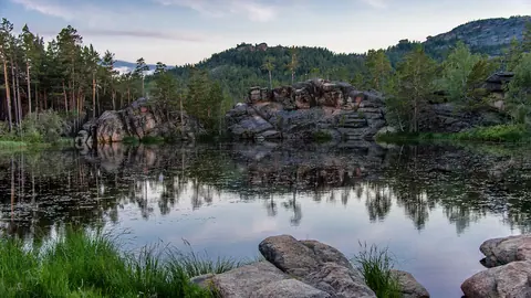 Lake Shaitankol: a small granite-ringed lake near Karkaraly
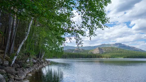 Burabay or Bayanaul: which to choose for a northern summer
- Trips from Karaganda, Kazakhstan: Gulag memorials, granite hills and steppe lakes
- What to see around Karaganda, Kazakhstan: Gulag memory, granite hills and steppe lakes
- Trips from Pavlodar: where to go and how far each place is
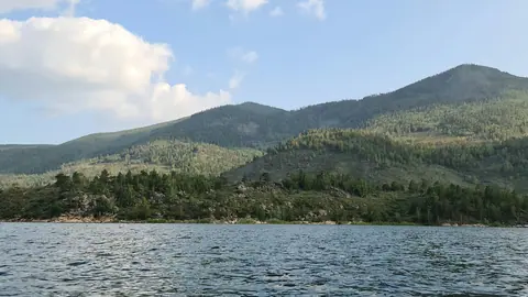 Lake Zhasybay: a clear lake inside the Bayanaul hills of north-east Kazakhstan