Kostobe, Kazakhstan: when to go, month by month
- January: off season
- February: off season
- March: possible
- April: best time
- May: best time
- June: possible
- July: possible
- August: possible
- September: best time
- October: best time
- November: possible
- December: off season
April, May, September and October are comfortable; July reaches 34 °C by day with almost no shade.
Kostobe, Kazakhstan: why go
Kostobe and the city of Jamukat
Narshakhi says people of Bukhara fled a harsh ruler and built a city near Taraz. Scholars link Jamukat with Kostobe after a long debate about its site.
The finds are in Taraz
Carved terracotta panels of the 9th–10th century with a grapevine design are in the regional museum in Taraz. Go there first and the mounds make more sense.
Citadel and fire temple
The citadel rises 12–15 m, and 200 m north of the main city lies the dome-shaped mound of a fire temple, 80 m wide and 15 m high.
Which Kostobe you need
Southern and Northern Kostobe lie in Otyrar District, Turkistan Region. The World Heritage component is the one near Sarykemer in Jambyl Region.
Kostobe, Kazakhstan in photos
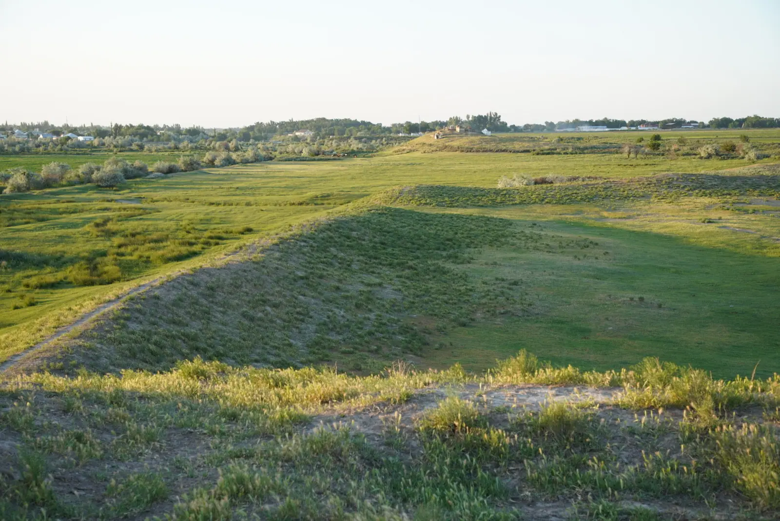
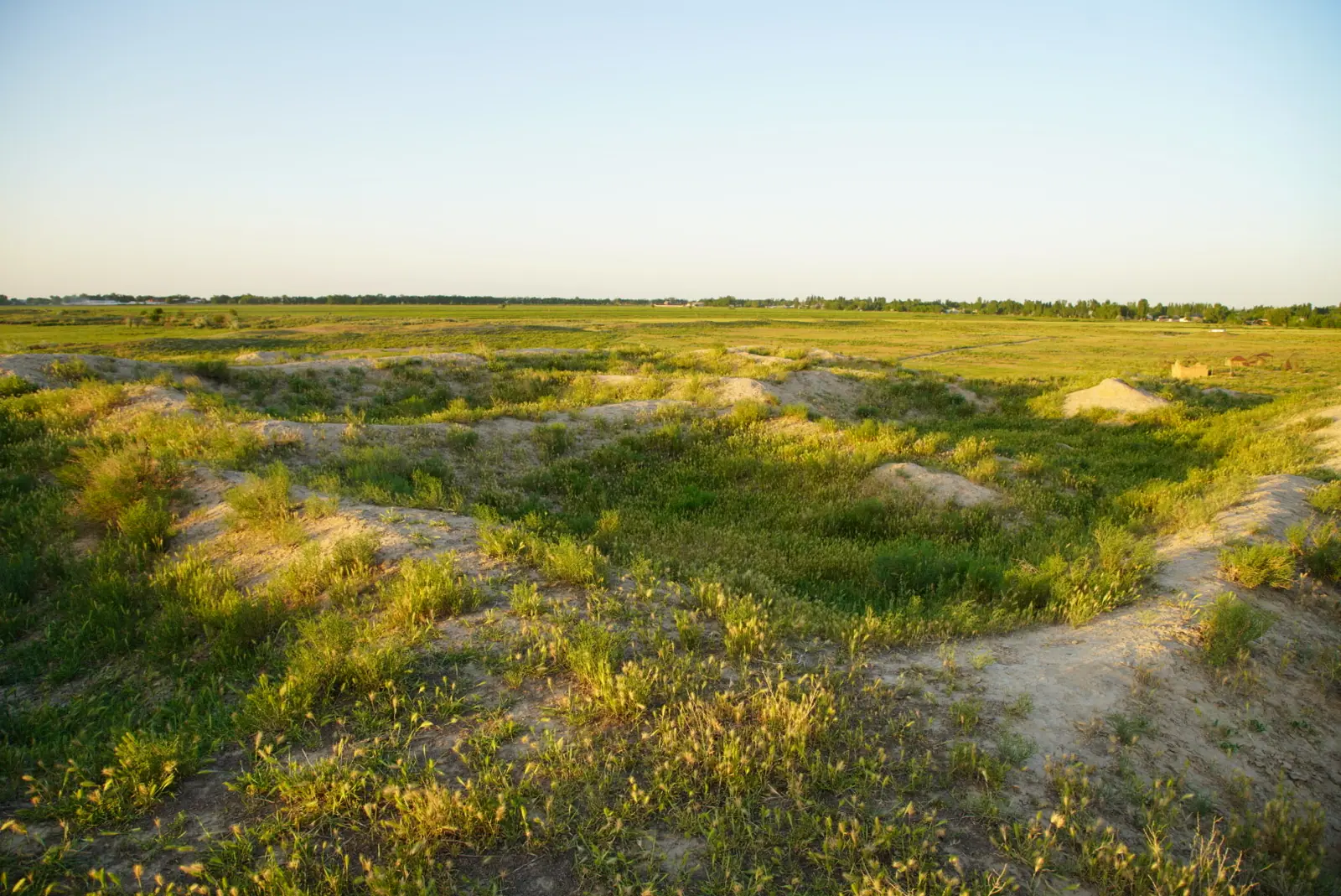
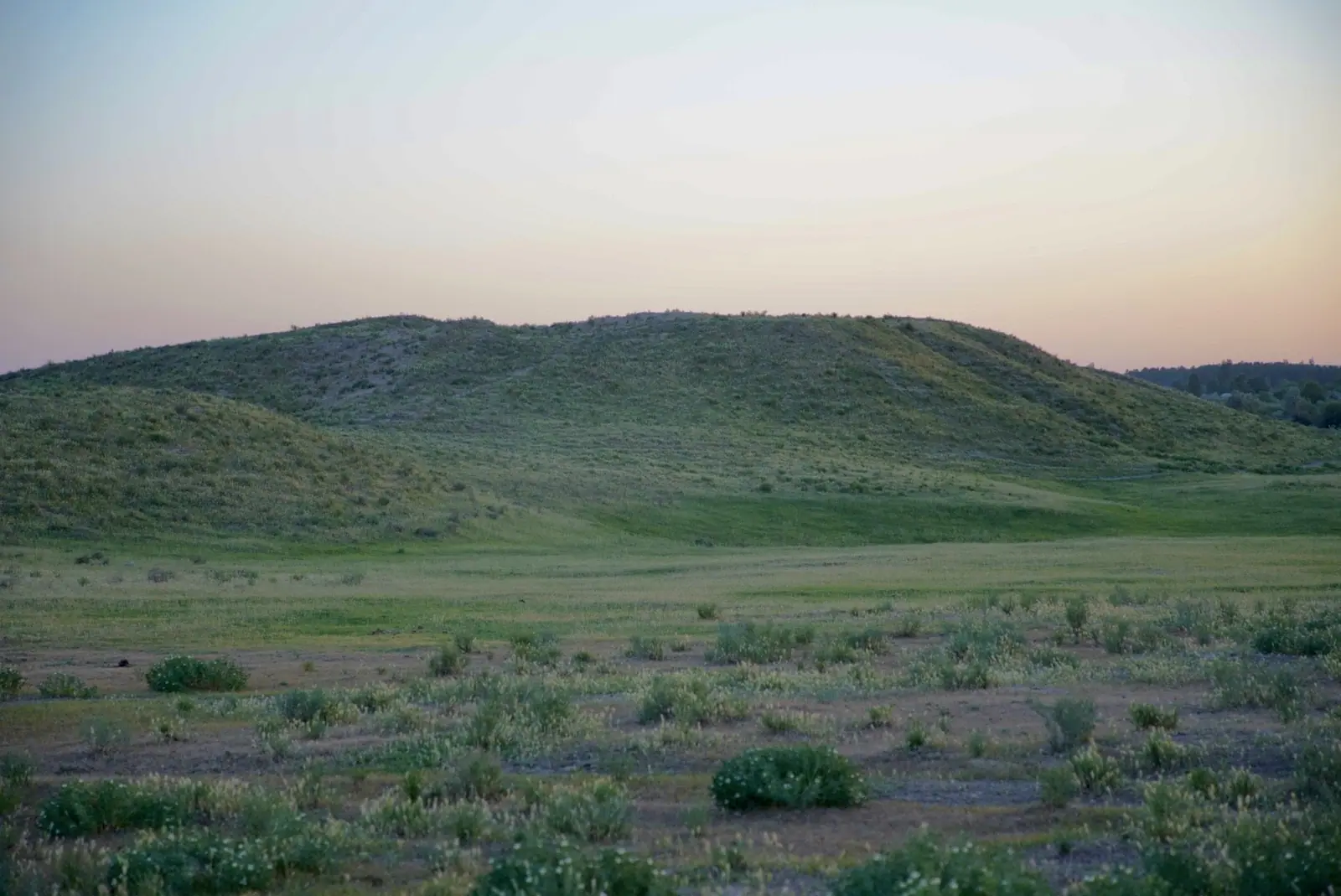
Real photos by travellers (Pexels, Unsplash, Wikimedia Commons); author and licence are given in each caption.
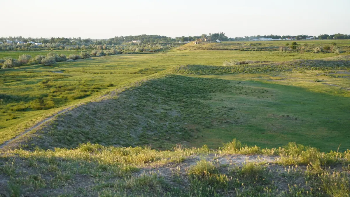
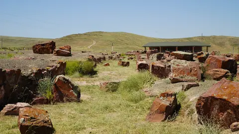
Kostobe is the site of a medieval city on the right bank of the Talas river, near Sarykemer village, about 15 km from Taraz. Researchers identify it with Jamukat, founded in the 6th century by migrants from Bukhara. It is listed under the Silk Roads World Heritage site, but what remains are earth ramparts and mounds, so read up before you go.
A city built by runaways from Bukhara
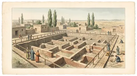
The historian Narshakhi says nobles and merchants left Bukhara to escape a harsh ruler and built a town near Taraz, named after their leader Hamuk. In the 10th century the Arab geographer al-Muqaddasi described a large walled city with a cathedral mosque and markets in its suburb. Scholars debated the location for decades, and the identification with Kostobe came from later fieldwork, including Karl Baipakov’s excavations of 1985–1987.
What you can actually see
Excavated buildings are heavily eroded, and the citadel was used as a cemetery from the 13th century.
| Feature | Size | On the ground |
|---|---|---|
| Main city with double walls | 420×450 m | A square of ramparts you can walk around |
| Surviving walls | 3–3.5 m | Slumped earth banks, not brickwork |
| Citadel | Top 30×40 m, 12–15 m high | The most visible point and your viewpoint |
| “Fire temple” 200 m to the north | 80 m wide, 15 m high | A dome-shaped mound |
Two burial grounds lie by the outer rampart, where excavators found brick funerary structures called naus. Be respectful around the burial areas. We could not confirm signs, a caretaker or a fee.
See the finds first
The most striking material is in town. According to Kazinform, the regional history museum in Taraz holds carved terracotta panels from the 9th–10th century, including a rare grapevine design. Excavations also produced a silver cross, a figure of the Buddha and bronze rings, a reminder of how many faiths passed along this road. Visit the museum first and the mounds will make far more sense.
Getting there and pairing it
No bus route turned up in our search, so hire a car in Taraz and use the map point 42.9891, 71.5214. Check that you are heading for Jambyl Region: other sites named Kostobe sit about 250 km away in Otyrar District.
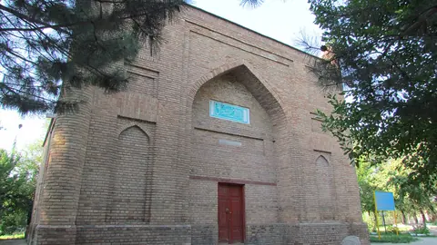
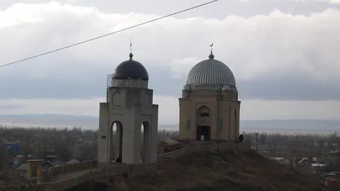
Combine it with Akyrtas, about 23 km away in a straight line, and with Ancient Taraz or the Karakhan mausoleum. Our UNESCO access research explains how little is published about visiting these sites.
When to go
April, May, September and October are the comfortable months. These are computed normals for the site at 555 m.
Day high, °C / Night low, °C · Rain/snow, mm
A computed reanalysis normal for these coordinates, not weather station records.
Monthly figures
| Month | Day high, °C | Night low, °C | Rain/snow, mm |
|---|---|---|---|
| Jan | 2.7 | -5.9 | 36 |
| Feb | 4 | -5.6 | 36.2 |
| Mar | 12.7 | 1.8 | 58 |
| Apr | 19.7 | 7.8 | 63.2 |
| May | 26.3 | 12.6 | 36.5 |
| Jun | 31.6 | 17.3 | 21.5 |
| Jul | 34.2 | 19.5 | 6 |
| Aug | 32.4 | 17.6 | 8.3 |
| Sep | 26.4 | 11.8 | 7.4 |
| Oct | 18 | 5.2 | 34.5 |
| Nov | 7.6 | -2.5 | 46.1 |
| Dec | 3.1 | -5.7 | 31.6 |
July days average 34 °C and the ramparts offer almost no shade. April is the wettest month, at 63.2 mm. September, at 26 °C and 7 mm, is the driest of the comfortable months.
- Access road from Sarykemer and any transport from Taraz
- Fee, caretaker, fencing and signs on site
- Rules for visitors, including the cemetery on the citadel
- Museum hours and whether the finds are on display at any given time
Kostobe, Kazakhstan: tips before you go
- See the Taraz museum first, then the site: on the ground you find ramparts, not brickwork.
- The citadel served as a cemetery from the 13th century, so behave with respect.
- No transport or signs confirmed: use the point 42.9891, 71.5214 and take a car.
More to see nearby


Frequently asked questions
Is Kostobe worth visiting?
Are there other places called Kostobe?
How do I get to Kostobe from Taraz?
Sources
Read also
 Almaty Zoo in Kazakhstan: opening hours and how to visit
 Ayusai Gorge, Almaty: visitor centre and waterfall trail
 Gorelnik Gorge above Medeu: waterfalls, trail and season
 Kamenskoe Plateau above Almaty: observatory and trails
 Pervomaiskie Ponds near Almaty: location, swimming, season
 Saty village: base for the Kolsai and Kaindy lakes