Verified: 2026-11
Kokkol waterfall in the Kazakh Altai: when to go, month by month
- January: off season
- February: off season
- March: off season
- April: off season
- May: off season
- June: possible
- July: best time
- August: best time
- September: possible
- October: off season
- November: off season
- December: off season
Sources do not name months for the trek. Plan for the warm part of the short mountain summer.
Kokkol waterfall in the Kazakh Altai: why go
East Kazakhstan's largest falls
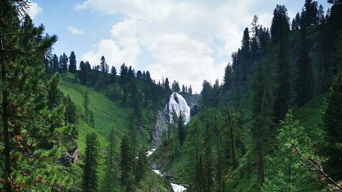
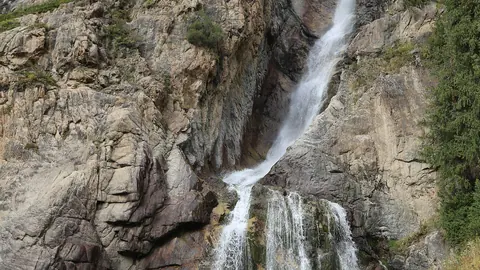
The Bolshaya Kokkol drops 60–80 m at a slope of 60–70°, about 10 m wide. A rock rib splits the flow in two.
Spruce and cedar forest
Spruce and cedar surround the falls, and below them the bed is choked with boulders and small cascades of 1–2 m.
No road
From Lake Yazevoe it takes about two days on foot with tents or 6–10 hours on horseback. Children under five should not go.
Close to the border
Decree 356 names the falls, 5 km from the border, among exceptions for foreigners. Confirm the rules before you start.
Kokkol waterfall in the Kazakh Altai in photos
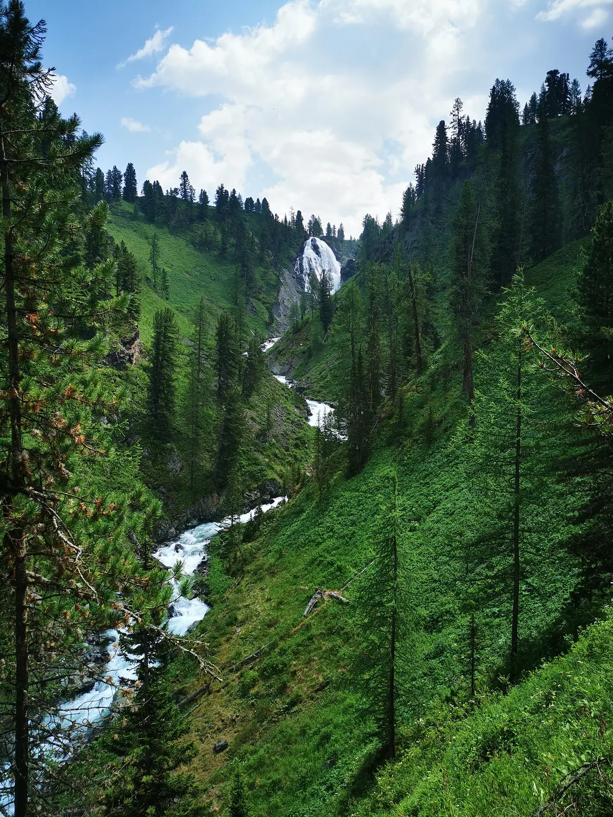
Real photos by travellers (Pexels, Unsplash, Wikimedia Commons); author and licence are given in each caption.
Kokkol is the largest waterfall in East Kazakhstan: the Bolshaya Kokkol River drops 60–80 m shortly before joining the Belaya Berel, in Katon-Karagay National Park. It lies 23 km northeast of Rakhmanov Springs village. No road passes it, so this is a real taiga trip: about two days on foot or 6–10 hours on horseback from Lake Yazevoe. Do not attempt it alone.
At a glance
| Fact | Value |
|---|---|
| Height | 60–80 m (Wikipedia); 60 m (Aviasales) |
| Width | about 10 m |
| Slope | 60–70° |
| From Lake Yazevoe on foot | about two days |
| On horseback | 6–10 hours |
Walkers should allow at least four days for the return trip, excluding the drive to the lake. Riders can do it in two in good weather. Allow extra time for the drive in, since the road beyond Rakhmanov Springs is rough and buses do not run.
What you will see
A narrow rock rib splits the flow into a broader right fall and a thinner left one, with small cascades of 1–2 m among boulders below and spruce and cedar forest all around. Belukha lies about 15 km to the northwest.
Getting there
- Reach Lake Yazevoe by 4x4.
- Arrange a guide or horses ahead. Aviasales recommends going with a local guide or a group; ask your driver or host to help arrange it.
- Carry a tent, warm sleeping bag, all food, an offline map and a satellite communicator.
Tell someone your route: see the safety page. The area is near the border, so read the border zone page, and see the Katon-Karagay guide for the park. Rakhmanov Springs makes a good place to recover.
Kokkol waterfall in the Kazakh Altai: tips before you go
- Go with a local guide or group: the taiga is remote.
- On foot, allow at least four days, not counting the drive to the lake.
- Report your route before setting out and carry a communicator.
More to see nearby
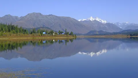
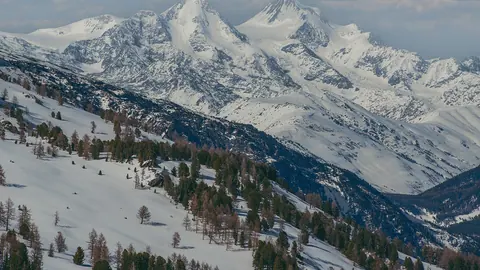


Frequently asked questions
How do I get to Kokkol waterfall?
Do foreigners need a permit for Kokkol waterfall?
Is Kokkol suitable for children?
Sources
Read also
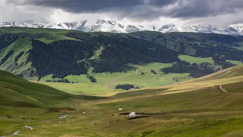 Assy Plateau: summer pastures above Turgen and the Assy-Turgen Observatory
- Turgen waterfall, Burkhan-Bulak and Butakovka: choosing a waterfall in Kazakhstan
- Waterfalls near Almaty: how to choose between Turgen and Butakovka
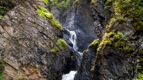 Turgen gorge waterfalls
 Burkhan-Bulak Waterfall, the tallest waterfall in Kazakhstan
 Butakovka waterfall and gorge