Kokaral Dam (Kok-Aral dike): how it saved the North Aral Sea and how to get there
The Kokaral dam, a 13 km earth dike finished in 2005, stopped the Syr Darya's water draining south and brought the North Aral Sea back to life. It lies about 196 km by road from Aralsk, and the last stretch is a rough gravel track.
- Getting there
- Aralsk: ~196 km, ~3 h
- When
- May, Sepbest timeNow: possible
- Size
- 13,034 m long
- Water
- Water up 12 m since 2003
- History
- Completed in 2005
- Note
- Gravel track past Karateren
Kokaral Dam (Kok-Aral dike): when to go, month by month
November · now- January: off season
- February: off season
- March: possible
- April: good
- May: best time
- June: possible
- July: possible
- August: possible
- September: best time
- October: good
- November: possible
- December: off season
May and September bring 25–27 °C days; summer reaches 34 °C with no shade on the road, and winter is freezing with short days.
Kokaral Dam (Kok-Aral dike): why go
The North Aral came back
Since 2005 the level has risen 12 m, salinity fell from 23 to 17 g/L and fish returned.
The third attempt
A 1992 sand dike washed out in 1993 and a 1997 one fell to a storm in 1999. The current dam was finished in August 2005.
A 600 m³/s spillway
Nine gates release surplus water into the South Aral so it does not overtop the crest. There is no ship lock or fish pass.
Target: 44 metres
Phase 2 for 2026–2029 would rebuild the dam to hold the North Aral at 44 m with 34 billion m³ of water (Water Ministry).
The Kokaral dam (also spelled Kok-Aral, or the Dike Kokaral) is the reason Kazakhstan still has a living part of the Aral Sea. Built across the old Berg Strait and finished in August 2005, it holds the Syr Darya’s water in the North Aral Sea instead of letting it spill south into the desert. If you are in Aralsk, it is a long but doable day trip.
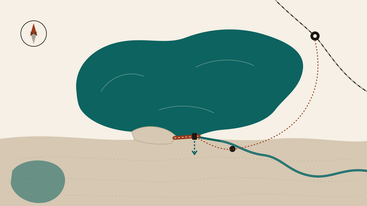
Kokaral dam facts at a glance
| Length | 13,034 m (World Bank: 13 km) |
| Height | 6 m, crest at 45.5 m above sea level |
| Width | up to 100–150 m |
| Spillway | 9 gates, 600 m³/s |
| Ship lock / fish pass | none |
| Completed | August 2005 |
| Cost | $85.79 M total, $64.5 M World Bank (IBRD) loan |
Figures from Russian Wikipedia and the World Bank project page. The spillway lets surplus water pass into the South Aral so it does not overtop and wash away the dike.
Why a dam on a dying sea
By the late 1980s the Aral Sea had split into a northern and a southern basin joined by the narrow Berg Strait. Water from the Syr Darya entered the north and drained through the strait into the larger, shrinking south. A barrier across the strait would keep that water in the north. The name comes from Kokaral, a former island that became dry land between the two basins.
Kazakhstan tried twice with sand. A dike built in 1992 was washed out by rising water in spring 1993. A second, finished in 1997 and faced with concrete slabs in 1998, was destroyed by a storm in 1999. In 2001 the government asked the World Bank for a loan for a proper structure, and the current dam was completed in 2005 under the Syr Darya Control and Northern Aral Sea project, Phase 1 (SYNAS-1).
What changed after 2005
- Water level: up 12 m on the 2003 low. A 2010 World Bank status report says the North Aral rose from a low of 38 m to its design level of 42 m, held for four years running by April 2009.
- Area and shore: the same report gives 2,400 km² of water in 2001 and 3,300 km² in 2009; by August 2010 the shore was 35 km from Aralsk harbour, against 75 km in 2001.
- Salinity: down from 23 to 17 g/L (Russian Wikipedia).
- Fish: more fish and more species returned to the North Aral.
- Volume: the Water Ministry reports growth from 18.9 billion m³ at the end of 2022 to 23 billion m³ at the end of 2025, helped by coordinated releases from Syr Darya reservoirs.
- The shore: before the dam, the sea was about 100 km from Aralsk. English Wikipedia now puts it at about 12 km; Russian Wikipedia says 25 km.
The cost was paid by the south. With the Syr Darya inflow cut off, the South Aral dried faster and split into eastern and western parts. For the full story of the sea, see our Aral Sea page.
What you actually see at the dam
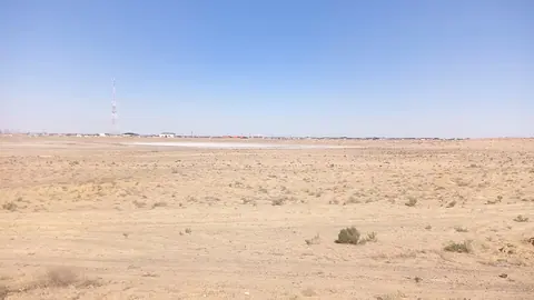
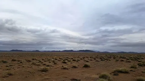
Don’t expect a visitor centre. The dam is a long, low earth bank, and the reason to come is the view on either side: open water of the North Aral Sea to the north and the dry former seabed of the South Aral, the Aralkum desert, to the south. The nine-gate spillway is the one piece of engineering that stands out; when it is open, surplus water runs south onto the old seabed. We could not find when, or how often, the gates are opened. If you only want to see stranded ships, Aralsk and its old harbour are enough; the dam is for travellers who want to understand how the North Aral was saved.
Phase 2: raising the North Aral to 44 m
On 13 March 2026 Kazakhstan’s Ministry of Water Resources and Irrigation announced that a second phase had been designed with the World Bank. It would rebuild the Kokaral dam to lift the North Aral to 44 m (Baltic datum), expand its surface to 3,913 km² and hold 34 billion m³ of water, over 2026–2029. Earlier plans were bolder: Russian Wikipedia, with data current to 2011, describes raising the dike by 6–8 m, growing the North Aral from 27 to 59 km³ and cutting salinity to 2.5–3 g/L. The figures were calculated at different times and may not be directly comparable. More than 160 irrigation upgrade projects in Turkistan and Kyzylorda regions are meant to free extra water for the sea. As of November 2026 we could not confirm that construction on the dam itself has started.
Getting to the Kokaral dam
Base yourself in Aralsk, which has trains on the Orenburg–Tashkent line. From there:
- Aralsk to Karateren village: the main stretch of the drive.
- Karateren to the dam: about 30 km on a gravel track, single-lane in places. Cyclists writing for Overland Europe called it much harder than expected.
- Total: about 196 km and roughly 3 hours each way, according to Welcome.kz. Add time to drive along the dam itself.
Take water and food; there is little shade or supply on the way. May and September are the kindest months, with daytime highs around 25–27 °C at the Aralsk weather station instead of 34 °C in July. A day trip by 4x4 with a local driver from Aralsk is the usual approach. Expect to pay in tenge; we have no verified price to quote.
Combine it with
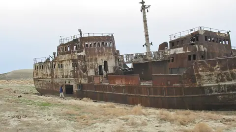
- Aralsk: the fishermen’s museum and ships on the old seabed.
- Barsakelmes: a nature reserve on a former Aral island.
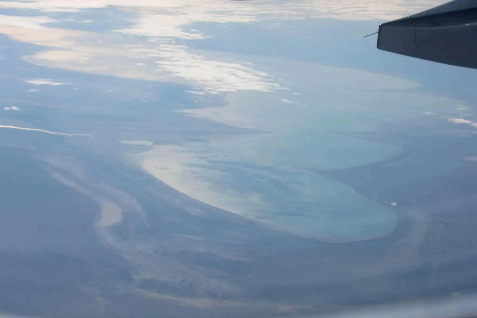
- Aral Sea before and after: satellite views of the change.
Kokaral Dam (Kok-Aral dike): tips before you go
- Leave Aralsk early: about 3 hours each way, the last 30 km on gravel.
- Use a high-clearance vehicle and carry water: there are few shops and no shade on the way.
- The dam is a working structure: ask locally about photography and walking the crest.
More to see nearby


Frequently asked questions
What is the Kokaral dam?
Did the Kokaral dam work?
Where is the Kokaral dam and how do I get there?
Is the Kokaral dam being raised?
Can tourists walk on the Kokaral dam?
Sources
- Dike Kokaral — Wikipedia
- Kokaral dam — Wikipedia (Russian)
- Syr Darya Control and Northern Aral Sea Phase I (P046045) — World Bank
- Implementation Status Report, SYNAS-1, 19.11.2010 — World Bank
- Kokaral dam reconstruction: second phase designed — Ministry of Water Resources, gov.kz, 13.03.2026
- Kokaral Dam — Welcome.kz, 12.06.2024
- Breaking the Cycle: bringing water back to Aralsk — Overland Europe
Read also
-
The Aral Sea in Kazakhstan: where it lies, what is left and how to reach it
-
Aralsk (Aral), Kazakhstan: the former port, ship graveyard and how to get there
- Astana Grand Mosque: visiting the largest mosque in Central Asia
- Baikonur launch: how tourists watch a rocket lift off
 Chundzha weather by month and hot spring season
- Komsomol Peak (Nursultan Peak), Almaty: height, routes, history