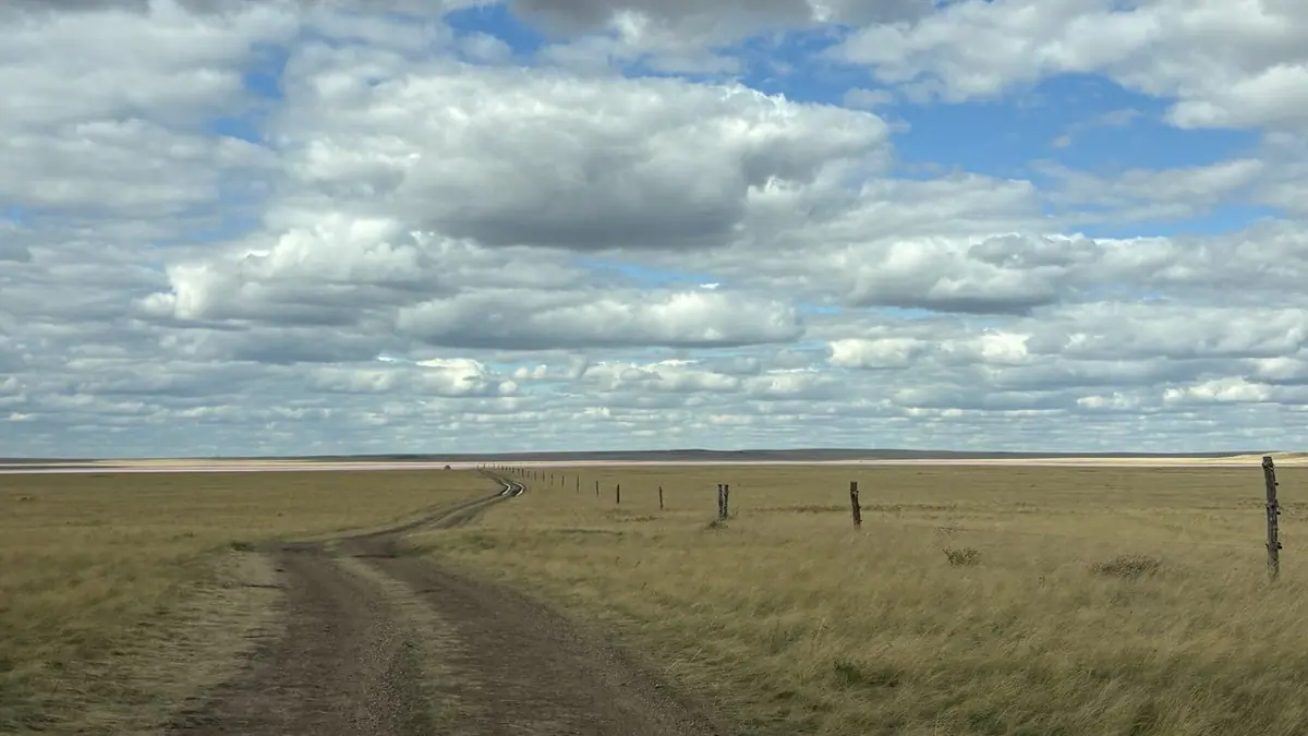
Kobeituz Pink Lake: when to go, month by month
- January: off season
- February: off season
- March: off season
- April: off season
- May: possible
- June: best time
- July: good
- August: best time
- September: possible
- October: off season
- November: off season
- December: off season
The lake is frozen from November to April, and only June to August combine warm weather with the best chance of pink water.
Kobeituz Pink Lake: why go
Kobeituz pink water
In some warm summers the alga Dunaliella salina tints this 6.9 km² salt lake pink; Russian Wikipedia says it happens once every few years.
Salt at 334 g/l
Kobeituz has no outflow and is fed by precipitation and groundwater; its salinity is 334 g/l, dense enough to float in.
A steppe drive from Astana
The lake lies about 158 km in a straight line from Astana, roughly 25 km north-east of Yereymentau, east of the salt lake Teniz.
A short summer window
Ice covers the lake from November to April; June to August bring average highs of 24–26 °C, but July is the wettest month with about 86 mm.
A lake you cannot swim in
Kobeituz is only about 20 cm deep at its deepest, so despite the floating salt water you can only wade, knee-deep at most.
Kobeituz Pink Lake in photos
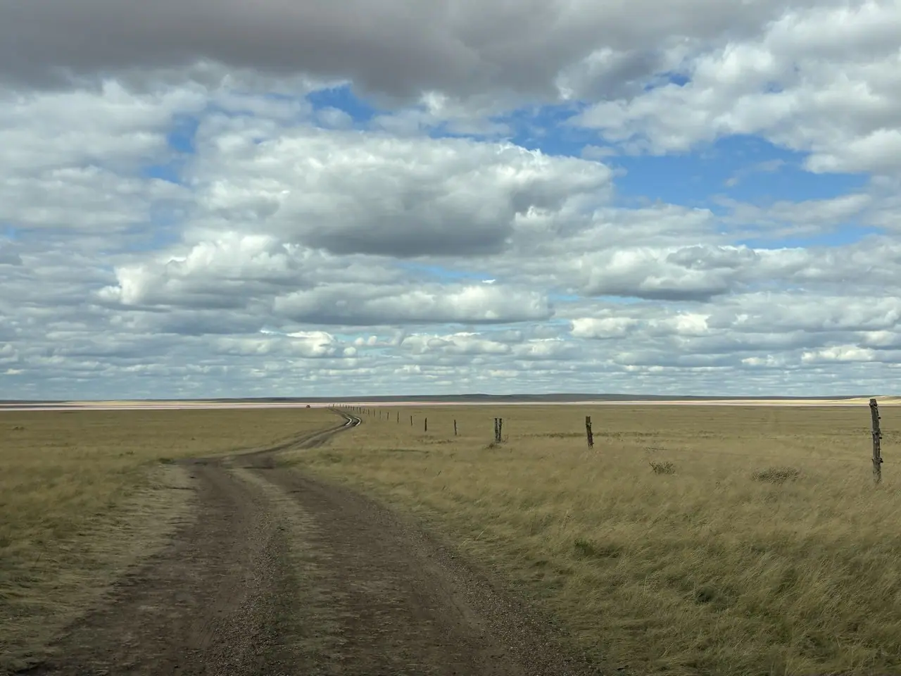
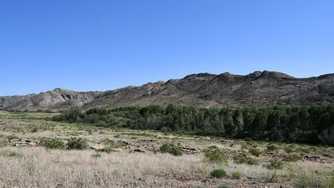
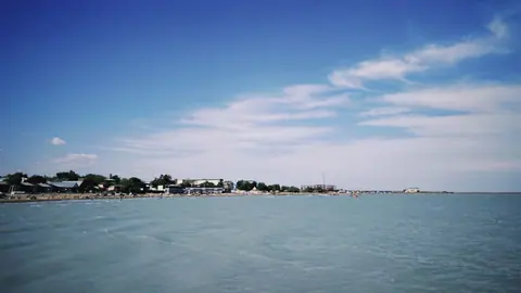
Real photos by travellers (Pexels, Unsplash, Wikimedia Commons); author and licence are given in each caption.
Kobeituz Pink Lake is a salt lake in Yereymentau District of Akmola Region, north-east of the town of Yereymentau and about 158 km in a straight line from Astana. In some years, in the warm months, its water takes on a pink tint from the alga Dunaliella salina. It is shallow, intensely salty and has no visitor facilities, so plan it as a self-sufficient summer day trip.
Where Kobeituz is and what kind of trip it demands
Kobeituz sits in open steppe in northern-central Kazakhstan, roughly 25 km north-east of Yereymentau according to Kazakh Wikipedia. It lies about 3.5 km east of the eastern shore of the salt lake Teniz, in the Olenti river basin. In straight lines it is about 158 km from Astana, 218 km from Karaganda and 242 km from Pavlodar.
That makes Astana the practical base for a foreign visitor. There is no town on the shore and, according to English Wikipedia, no infrastructure or visitor facilities. Without a car and some Russian or Kazakh, the trip is hard to arrange: we could not confirm any public transport to the lake itself.
Why the water turns pink, and why you may find it is not
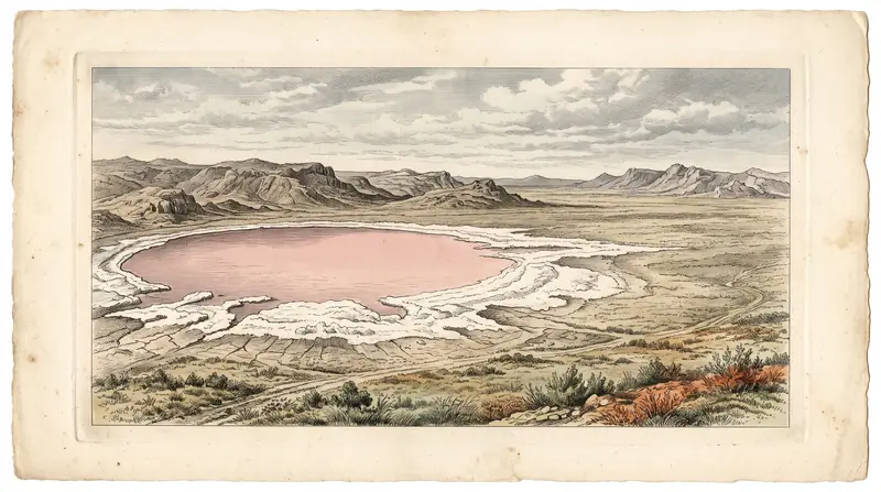
The pink colour comes from Dunaliella salina, an alga that in very salty water produces reddish carotenoids. English Wikipedia links the colour to the warm months, when salinity peaks. Russian Wikipedia is more cautious: it says the lake turns pink only once every few years.
The practical point is simple. A summer visit raises your chances but does not guarantee pink water, and a long drive can end at a lake that is not pink. English Wikipedia adds the common advice that the colour is brightest in sunny weather, presented as something people say rather than a measured fact.
The name is Kazakh: kobei means “multiply” and tuz means “salt”.
Kobeituz in figures
The lake is small and round. The figures below come from Russian and Kazakh Wikipedia, except the depth, which comes from English Wikipedia.
| Parameter | Value |
|---|---|
| Elevation | 253 m above sea level |
| Length × width | 3.5 × 3.1 km |
| Area | 6.9 km² |
| Shoreline | 11 km |
| Maximum depth | about 20 cm |
| Salinity | 334 g/l |
| Ice cover | November to April |
| Water supply | precipitation and groundwater, no outflow |
Kazakh Wikipedia notes that the shoreline is irregular and changes shape in many years, so the outline on your map may not match what you find.
When to go: June to August, with July the wettest month
The lake is frozen from November to April, so the realistic window is late spring to early autumn, and the colour is tied to the warm months. The climate figures below are computed ERA5 reanalysis normals for 2011–2020 at a grid point at 253 m, the same height as the lake, not readings from a weather station.
Day high, °C / Night low, °C · Rain/snow, mm
A computed reanalysis normal for these coordinates, not weather station records.
Monthly figures
| Month | Day high, °C | Night low, °C | Rain/snow, mm |
|---|---|---|---|
| Jan | -11.2 | -18.8 | 6.7 |
| Feb | -9.1 | -17.4 | 11.6 |
| Mar | -0.4 | -8.9 | 18.6 |
| Apr | 13.9 | 2.2 | 23.2 |
| May | 20.1 | 6.8 | 28.7 |
| Jun | 25.1 | 13.1 | 51 |
| Jul | 25.9 | 14.7 | 80.2 |
| Aug | 25 | 12.7 | 40.5 |
| Sep | 18.2 | 6.6 | 26.6 |
| Oct | 9.2 | 0.4 | 29.9 |
| Nov | -2.6 | -9.2 | 22.2 |
| Dec | -8.2 | -15.2 | 14.6 |
June, July and August are the only months with average highs around 24–26 °C, and nights stay above 13 °C. July is also the wettest month at about 80 mm, so a cloudy spell can cost you both the sun and the colour. May and September are mild by day (about 20 °C and 18 °C) but nights fall to 7–7 °C. From October to March average highs are near or below freezing, with January lows around −19 °C.
| Period | What to expect |
|---|---|
| November–April | Lake under ice, no pink water |
| May | Ice gone, cool nights, highs about 20 °C |
| June–August | Warmest and saltiest, best chance of pink |
| September | Cooler, highs about 18 °C |
| October | Highs under 9 °C, close to freezing |
What you can do at the lake, and what not to expect
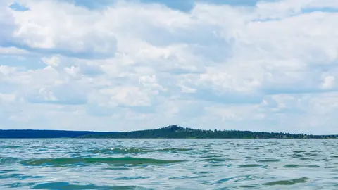
Mostly you look and take photographs. The salt is concentrated enough to keep a body afloat, but with a maximum depth of about 20 cm you can only wade, roughly knee-deep at most, so swimming is not realistic.
There are no facilities, so bring everything you need for the day. Russian Wikipedia says the lake is under heavy pressure from the number of visitors, and Kazakh Wikipedia notes that livestock are watered here and the shore is used as hayfield. Leave nothing behind and keep vehicles off the soft shore. Note that the claim of no infrastructure may be dated.
Combining Kobeituz with other lakes
Kobeituz is a single-sight trip; nothing else covered on this site is close. The nearest is Zerenda, a lake among pine hills near Kokshetau, about 329 km away in a straight line, so treat it as a separate trip from Astana. If salt and steppe lakes interest you, Lake Balkhash is a much larger lake further south, about 586 km away in a straight line.
- Road distance, route and road condition from Astana or Yereymentau to the lake shore
- Whether any bus, train or shared transport reaches the lake or nearby Korzhynkol station
- Whether the lake is actually pink in the current year
- Whether any entry rules, fees or new facilities exist now, as the no-infrastructure note may be dated
Kobeituz Pink Lake: tips before you go
- Go in June–August: the lake is iced over from November to April and the pink tint is linked to the warm, saltiest months.
- Aim for a sunny day; English Wikipedia relays advice that the colour is brightest then. July is the wettest month, about 86 mm.
- There are no facilities at the lake, so carry all water, food and sun protection; summer highs average 24–26 °C on open steppe.
- Expect wading, not swimming: maximum depth is about 20 cm. Bring footwear you can get salty, and fresh water to rinse off the brine.
More to see nearby


Frequently asked questions
Is Kobeituz pink all year?
Can you swim in the pink lake?
How far is the pink lake from Astana?
What makes the water pink?
Are there toilets, cafés or accommodation at Kobeituz?
Sources
Read also
 Almaty Zoo in Kazakhstan: opening hours and how to visit
 Ayusai Gorge, Almaty: visitor centre and waterfall trail
 Gorelnik Gorge above Medeu: waterfalls, trail and season
 Kamenskoe Plateau above Almaty: observatory and trails
 Pervomaiskie Ponds near Almaty: location, swimming, season
 Saty village: base for the Kolsai and Kaindy lakes