Khan Tengri mountain: when to go, month by month
- January: off season
- February: off season
- March: off season
- April: off season
- May: off season
- June: possible
- July: best time
- August: best time
- September: good
- October: off season
- November: off season
- December: off season
Recorded ascents cluster in August and early September, and the high latitude gives a short, harsh season; we have no climate data to refine these months.
Khan Tengri mountain: why go
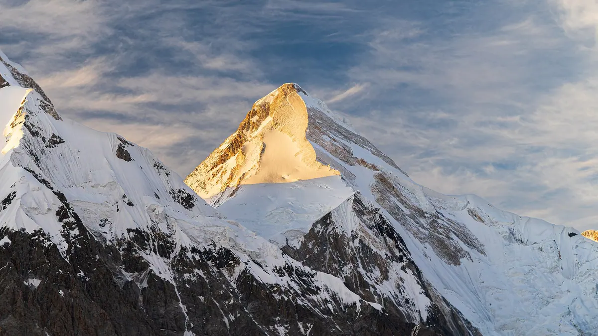
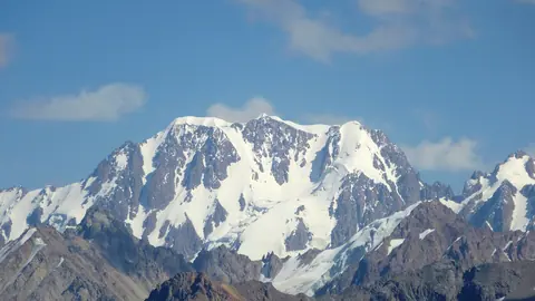
The Khan Tengri marble pyramid
A steep, symmetrical pyramid of marble under snow and ice, 6,995 m of rock and 7,010 m with its cap, on the Kazakhstan–Kyrgyzstan–China tripoint.
A peak mistaken for the highest
Khan Tengri was thought to top the Tian Shan until Jengish Chokusu, almost 430 m higher and 16 km south, was surveyed in 1943.
Glacier base camps on Inylchek
Climbers start from camps on the North Inylchek glacier (Kazakh side) or the South Inylchek (Kyrgyz side), with base camp at around 4,000 m.
Most northerly 7,000 m peak
High latitude means a shorter climbing season and harsher weather; the first winter ascent was made by a Kazakhstan team on 7 February 1992.
Khan Tengri sunset glow
At sunset the marble turns red, which gave the peak its local names Kantau and Kan-Too, translated as "blood mountain".
Khan Tengri mountain in photos
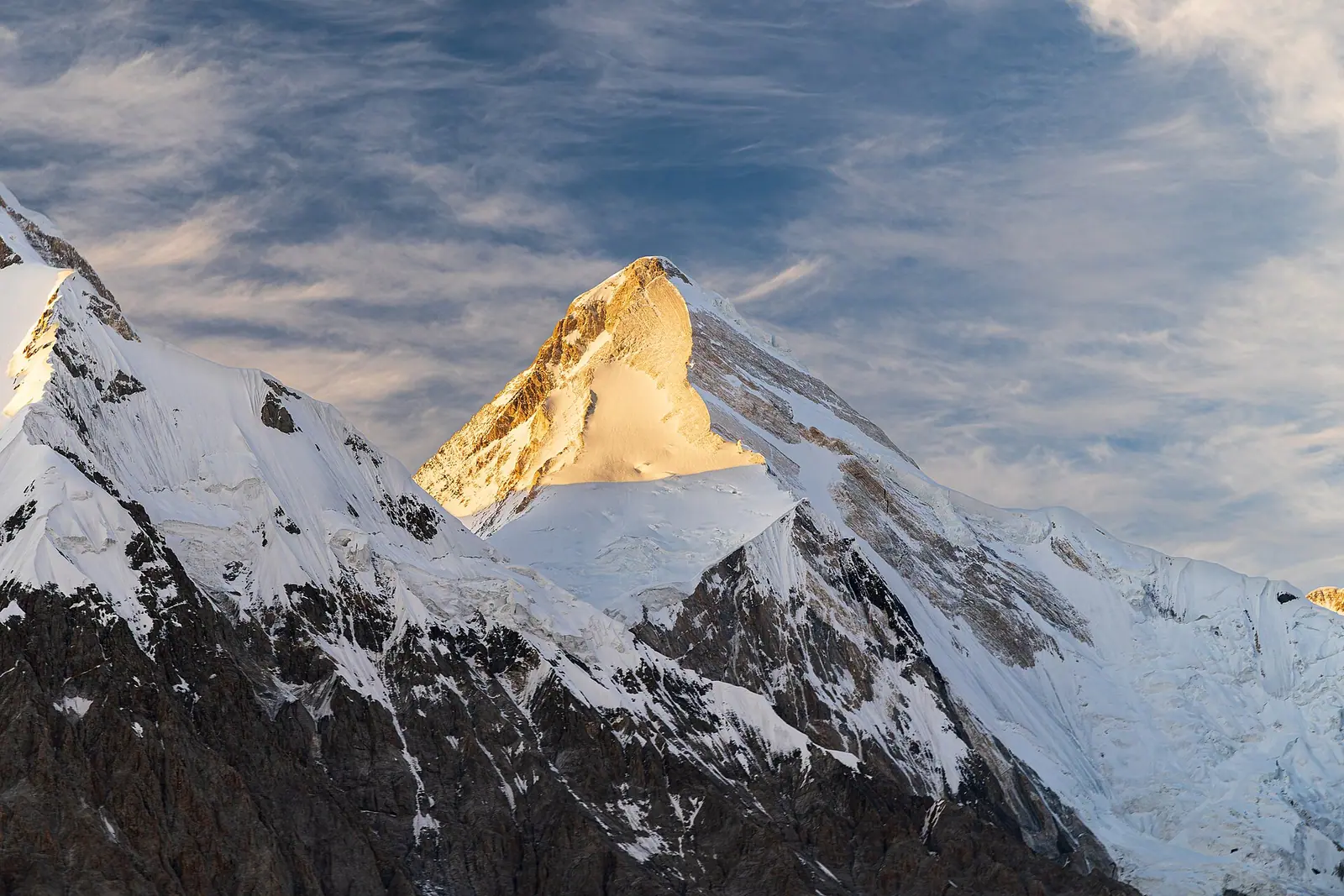
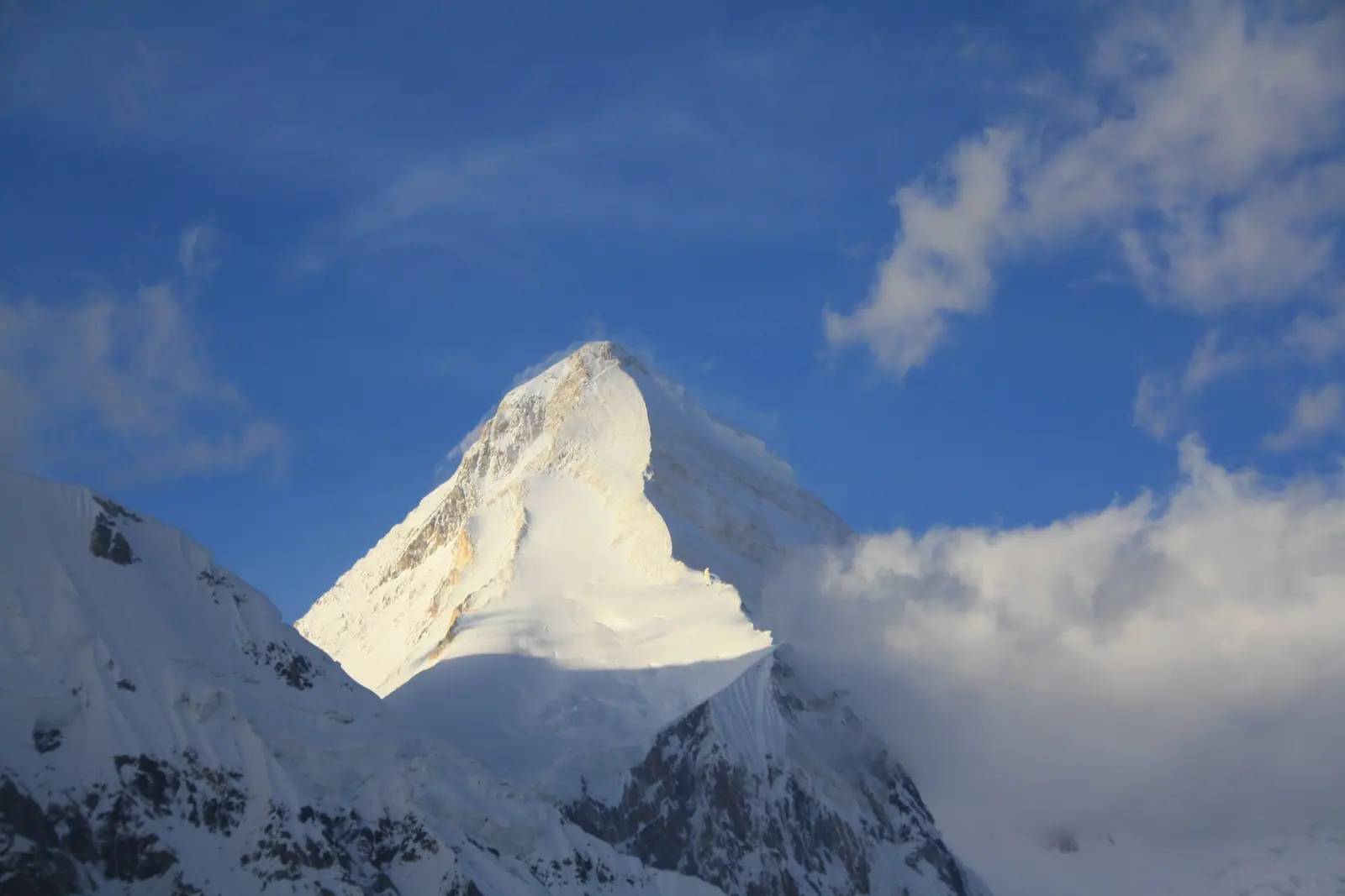
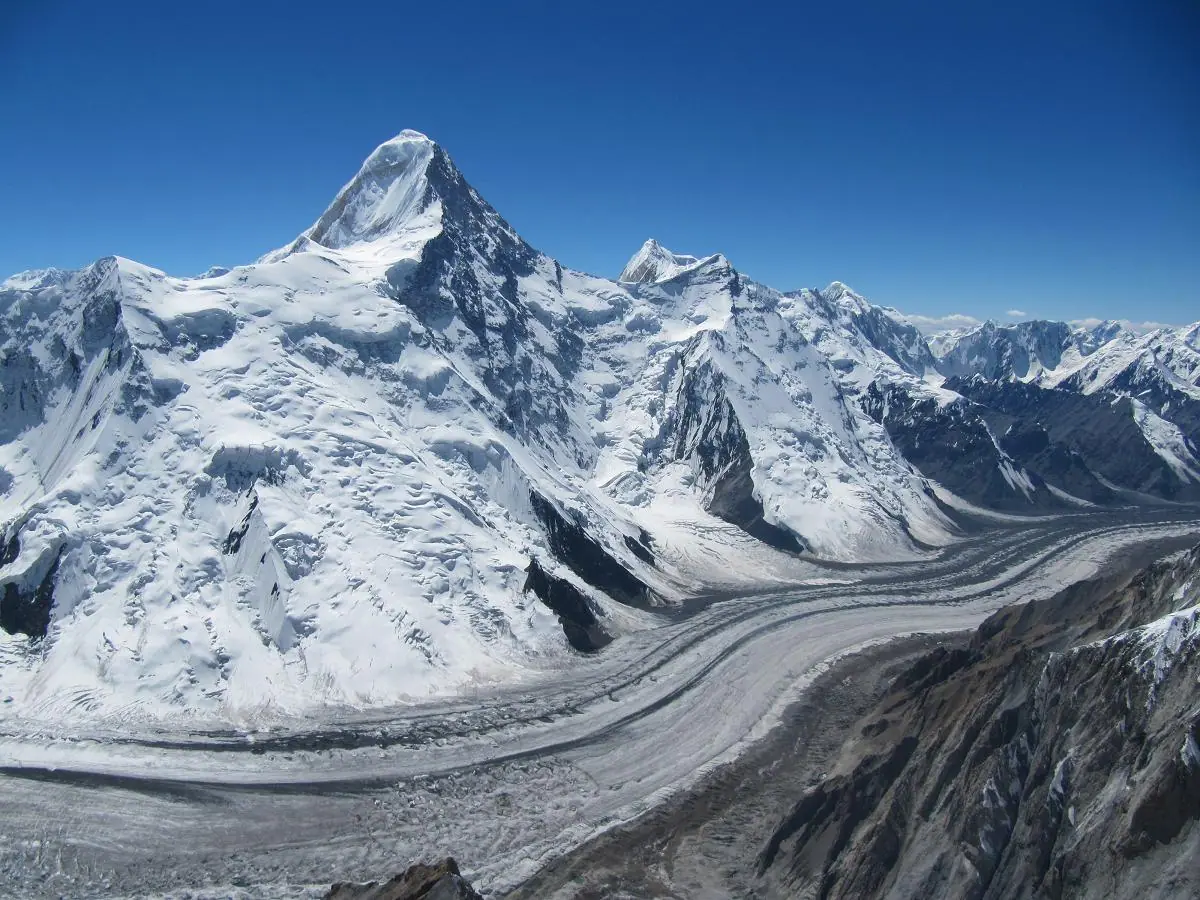
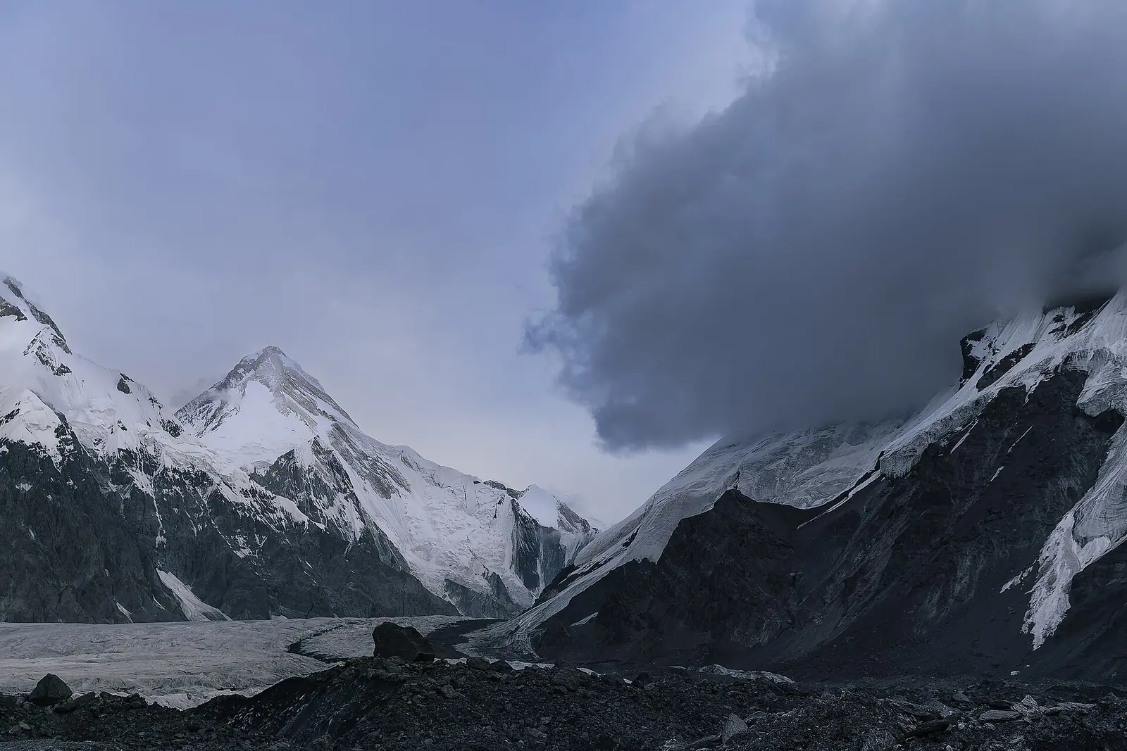
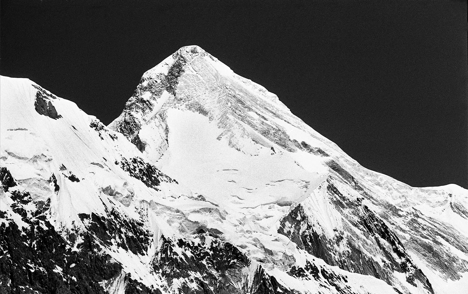
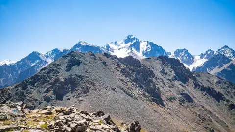
Real photos by travellers (Pexels, Unsplash, Wikimedia Commons); author and licence are given in each caption.
Khan Tengri is a 6,995 m marble pyramid in the Tian Shan, 7,010 m with its ice cap, standing on the tripoint of Kazakhstan, Kyrgyzstan and China, about 292 km in a straight line east of Almaty. It is the highest point in Kazakhstan and the world’s most northerly 7,000-metre peak. For most travellers it is a mountain to climb on an organised expedition or to admire from afar, not a place you simply visit.
Where Khan Tengri is and what kind of trip it is
Khan Tengri sits in the far south-east of Kazakhstan, on the Tengri Tag ridge east of Lake Issyk-Kul in Kyrgyzstan. On the Kazakh side it belongs to the Raiymbek district of Almaty Region, by the Kazakh Wikipedia. Almaty is about 292 km away in a straight line; the road distance is longer and we could not confirm a road route to the foot of the mountain.
The Tengri Tag ridge forms the border between Kazakhstan and Kyrgyzstan. The North Inylchek glacier runs along the Kazakh side and the South Inylchek glacier along the Kyrgyz side, and international alpine camps are set up on both glaciers each season. That is the practical picture: you reach Khan Tengri through a glacier base camp, as part of an expedition, with high-altitude experience.
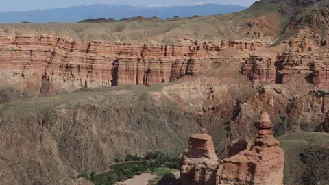
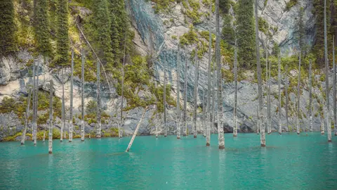
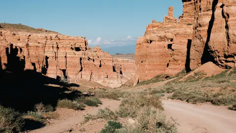
For a traveller with no car, no Russian and no mountaineering background, the realistic options are elsewhere in the region. The Charyn Canyon and Kaindy Lake are about 156–164 km in a straight line from the peak and are not mountaineering objectives. You can see the peak itself without climbing: in clear weather its pyramid stands on the southern horizon above Tuzkol Lake, about 89 km away in a straight line.
Khan Tengri height: 6,995 m or 7,010 m
Both figures are correct and refer to different things. The rock summit is 6,995 m; the glacial ice cap on top raises it to 7,010 m. Mountaineers, including under the Snow Leopard award criteria, count it as a 7,000-metre peak.
| Peak | Height | Note |
|---|---|---|
| Jengish Chokusu (Victory Peak, Pobeda) | 7,439 m | Highest in the Tian Shan, 16 km south |
| Khan Tengri | 6,995 m / 7,010 m | Highest in Kazakhstan, second in the Tian Shan |
| Shater | 6,700 m | Two-headed peak at the main range junction |
| Chapaev Peak | 6,371 m | Neighbour in the Tengri Tag |
| Gorky Peak | 6,050 m | Also in the Tengri Tag |
The table explains a long confusion. Khan Tengri is almost 430 m lower than Jengish Chokusu, yet it was believed to be the highest peak of the range until Jengish Chokusu was surveyed in 1943. Its steep, clean shape and its visibility from the plains made it look the bigger mountain. Early measurements also varied: Gottfried Merzbacher put it at 7,200 m in 1902.
Khan Tengri in Kazakhstan or Kyrgyzstan: both, and China too
The summit is on the China–Kyrgyzstan–Kazakhstan tripoint, so all three answers are correct. In Kyrgyzstan it ranks third, after Jengish Chokusu (7,439 m) and Avicenna Peak (7,134 m). In Kazakhstan it is the highest point.
Which side you approach from matters more than the label. The first ascent in 1931 came from the south, via the South Inylchek glacier on the Kyrgyz side, and the first ascent from the north, via the North Inylchek on the Kazakh side, followed in 1964. The choice of side decides your base camp, your logistics and which country’s paperwork you deal with. Reaching the Kyrgyz side from Almaty means crossing the border; see Almaty to Issyk-Kul by road, via Korday or via Kegen and Karkara.
Khan Tengri climb: routes, difficulty and the north route
Khan Tengri is a high-altitude expedition peak, and its latitude makes it harder than its height suggests. Peaks this far north have a shorter climbing season and generally more severe weather, according to Wikipedia.
The number of routes differs by source: the Russian Wikipedia counts at least 25 routes from north and south, while the Kazakh Wikipedia says more than ten. The most popular is the Pogrebetsky route from the south, which follows the line of the 1931 first ascent: up the South Inylchek glacier towards Chapaev Peak, onto the west shoulder and then up the south-west slope.
| Approach | Glacier | Side | First ascent |
|---|---|---|---|
| South (Pogrebetsky route) | South Inylchek | Kyrgyzstan | 1931, Pogrebetsky, Tyurin, Sauberer |
| North | North Inylchek | Kazakhstan | 1964, team led by K. Kuzmin |
| South, marble rib | South Inylchek | Kyrgyzstan | 1964, team led by B. Romanov |
Seen from the north, the peak, its 5,900 m west saddle and neighbouring Chapaev Peak (6,371 m) resemble Everest, the South Col and Lhotse, but about 2 km lower, which lets climbers rehearse the classic Himalayan route. Denis Urubko, the first in the CIS to climb all 14 eight-thousanders, treated Khan Tengri as his training seven-thousander and climbed it around ten times.
Khan Tengri base camp
Base camps stand on the glaciers: on the North Inylchek for the Kazakh side and on the South Inylchek for the Kyrgyz side. The Russian Wikipedia gives the base camp altitude as about 4,000 m in describing Urubko’s speed record. The Kazakh Wikipedia says the international Khan Tengri alpine camp receives up to 2,000 climbers and mountain tourists in a season.
We could not confirm how trekkers who do not plan to climb reach these camps today, what a base camp trek involves, or what it costs. In 1964 the northern expedition had its loads dropped by helicopter, but that is history, not a current schedule. Ask any expedition organiser directly about access, permits for the border zone and medical support before committing.
Khan Tengri death rate and the real risks
We could not find a death rate for Khan Tengri, and a percentage would be invented. What the record shows is that the risks are serious. In 2004 more than a dozen mountaineers were killed in a large avalanche on the Pogrebetsky route, the most popular line on the mountain. In August 1992 the Austrian expedition leader Toni Dürnberger died while descending after a summit.
Avalanches also shaped the 1964 northern ascent: the first group turned back 200 m below the top because fresh snow made the summit ridge too dangerous, and the second group passed only after avalanches had cleared it. Weather is the other constant; even an experienced climber with 33 ascents wrote of nearly dying from cold wind on the summit in August 2015.
Records that show what the mountain asks
The climbing record gives a sense of scale. Urubko ran from base camp at 4,000 m to the 7,010 m summit in 7 hours 40 minutes in 2000, beating Alex Lowe’s 10 hours 8 minutes from August 1993. Anatoli Boukreev made the first solo speed ascent in 1990. A Kazakhstan team made the first winter ascent on 7 February 1992.
Gleb Sokolov of Novosibirsk holds the record for the number of ascents, 34 by 2016. The youngest climber, the Pole Adam Bielecki, summited at 17 in 2000 in alpine style. These are elite numbers; ordinary expeditions take many days and acclimatisation.
Khan Tengri sunset and the name
The mountain is a massive marble pyramid, and at sunset the marble glows red. That is the source of its local Kazakh and Kyrgyz names Kantau and Kan-Too, translated as “blood mountain”. Khan Tengri itself means roughly “Lord of the Sky” and refers to Tengri, the supreme sky deity of the old Turkic and Mongol belief. For people who hold that tradition the summit is the deity’s dwelling.
Boukreev called Khan Tengri perhaps the most beautiful peak in the world for its geometric ridges and symmetry. If you want high peaks closer to the city, Talgar Peak is the highest point of the Ile-Alatau above Almaty, and the list of nature near Almaty covers day trips.
- Exact dates when the glacier base camps open and close each season
- Border-zone permit rules for the Kazakh and Kyrgyz approaches
- How climbers and trekkers reach the base camps today and the travel time from Almaty
- Whether a non-climbing base camp trek is offered and what it requires
- Current conditions and weather on the summit routes
Khan Tengri mountain: tips before you go
- Choose your side first: the north approach is via the North Inylchek glacier in Kazakhstan, the south via the South Inylchek in Kyrgyzstan.
- The popular Pogrebetsky route saw an avalanche in 2004 that killed more than a dozen climbers; ask organisers how they manage avalanche risk.
- Plan acclimatisation: base camp is around 4,000 m and the summit 7,010 m, a gain of about 3,000 m on the mountain itself.
- Without climbing experience, visit Charyn or Kaindy instead; both are about 156–164 km in a straight line from the peak and are not mountaineering objectives.
More to see nearby


Frequently asked questions
How tall is Khan Tengri?
Where is Khan Tengri?
Is Khan Tengri the highest mountain in Kazakhstan?
Who made the first Khan Tengri summit?
Can you see Khan Tengri from the plains?
Sources
Read also
 Almaty Zoo in Kazakhstan: opening hours and how to visit
 Ayusai Gorge, Almaty: visitor centre and waterfall trail
 Gorelnik Gorge above Medeu: waterfalls, trail and season
 Kamenskoe Plateau above Almaty: observatory and trails
 Pervomaiskie Ponds near Almaty: location, swimming, season
 Saty village: base for the Kolsai and Kaindy lakes