Kegen and the Kokpek Pass: when to go, month by month
- January: possible
- February: possible
- March: possible
- April: possible
- May: good
- June: best time
- July: best time
- August: best time
- September: good
- October: possible
- November: possible
- December: possible
Based on the Dfb climate class and an elevation of about 2,000 m rather than measured normals, summer is the most reliable time and winter driving carries unconfirmed road risks.
Kegen and the Kokpek Pass: why go
The Kegen valley steppe
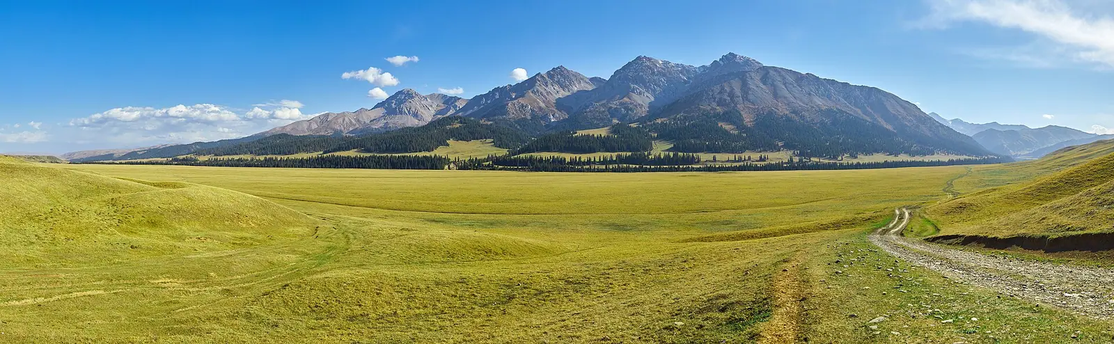
A wide plain at about 2,000 m on the left bank of the Kegen River, grown with feather grass and fescue on red-brown and black soils.
Kegen, founded in 1841 as Beket
Later the base of the Kumtekey collective farm and, from 1963 to 1997, the central estate of the Kyzyltu sheep-breeding state farm.
A crossroads on the way east
The Almaty–Narynkol and Almaty–Karakol roads both pass through Kegen, making it a natural stop on drives towards Kyrgyzstan and the Tian Shan.
Summer suits Kegen best
A Dfb climate at around 2,000 m means warm summers and cold winters, so June to August is the safest window for driving and open views.
A museum in a 1930s residence
The local history museum opened in 1987 in the house where district secretary Oraz Zhandosov lived in 1933–34; it was renamed in 2011.
Kegen and the Kokpek Pass in photos
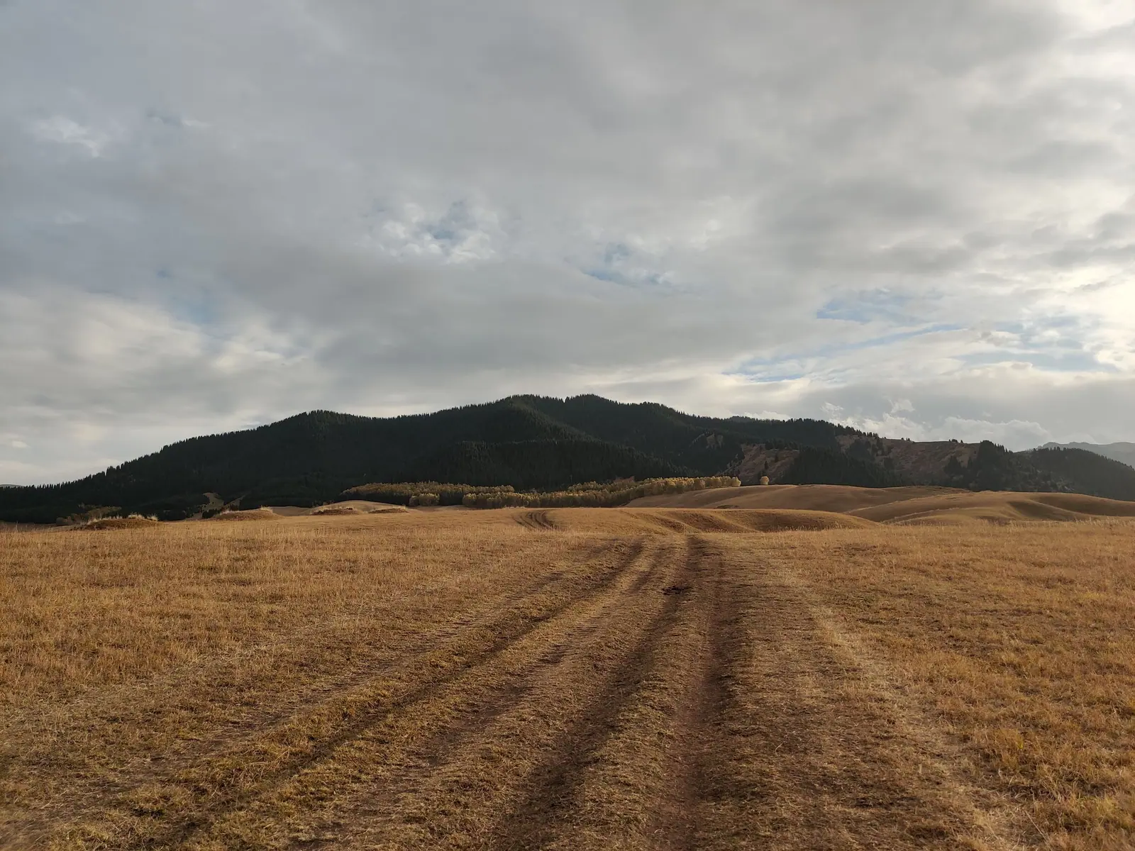
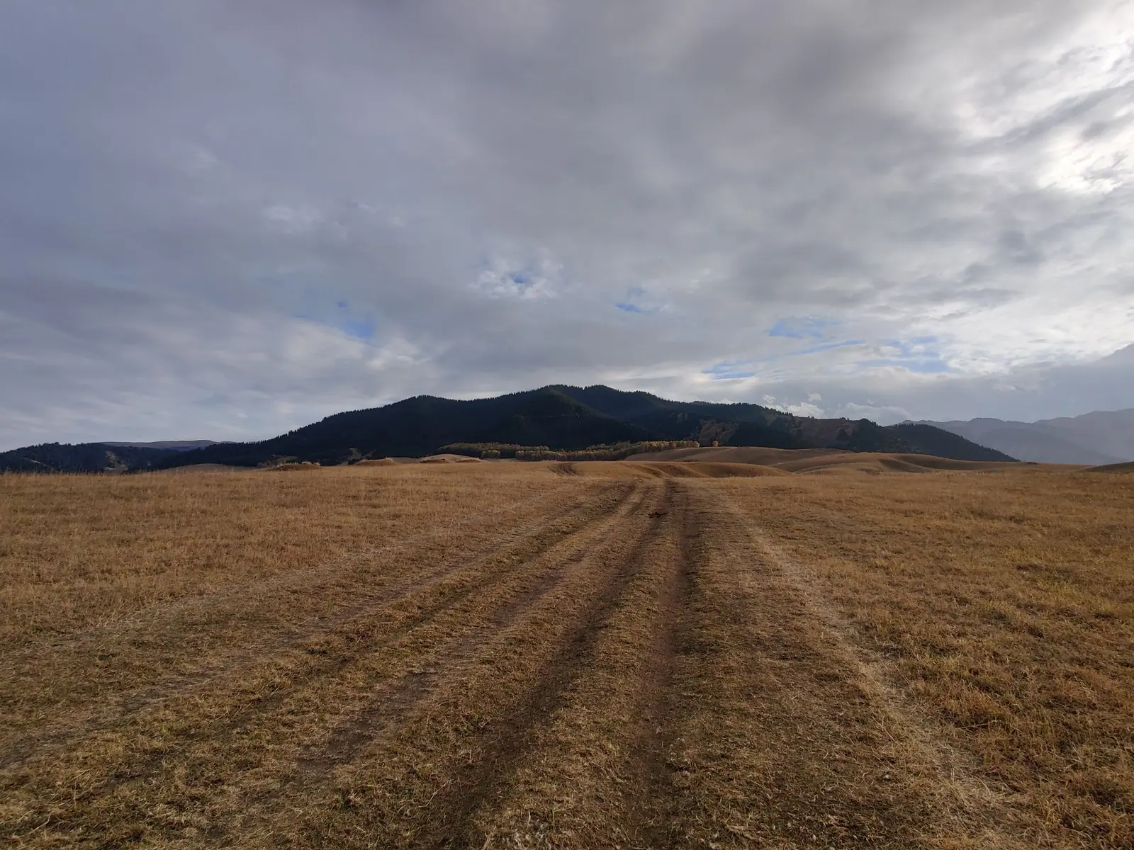
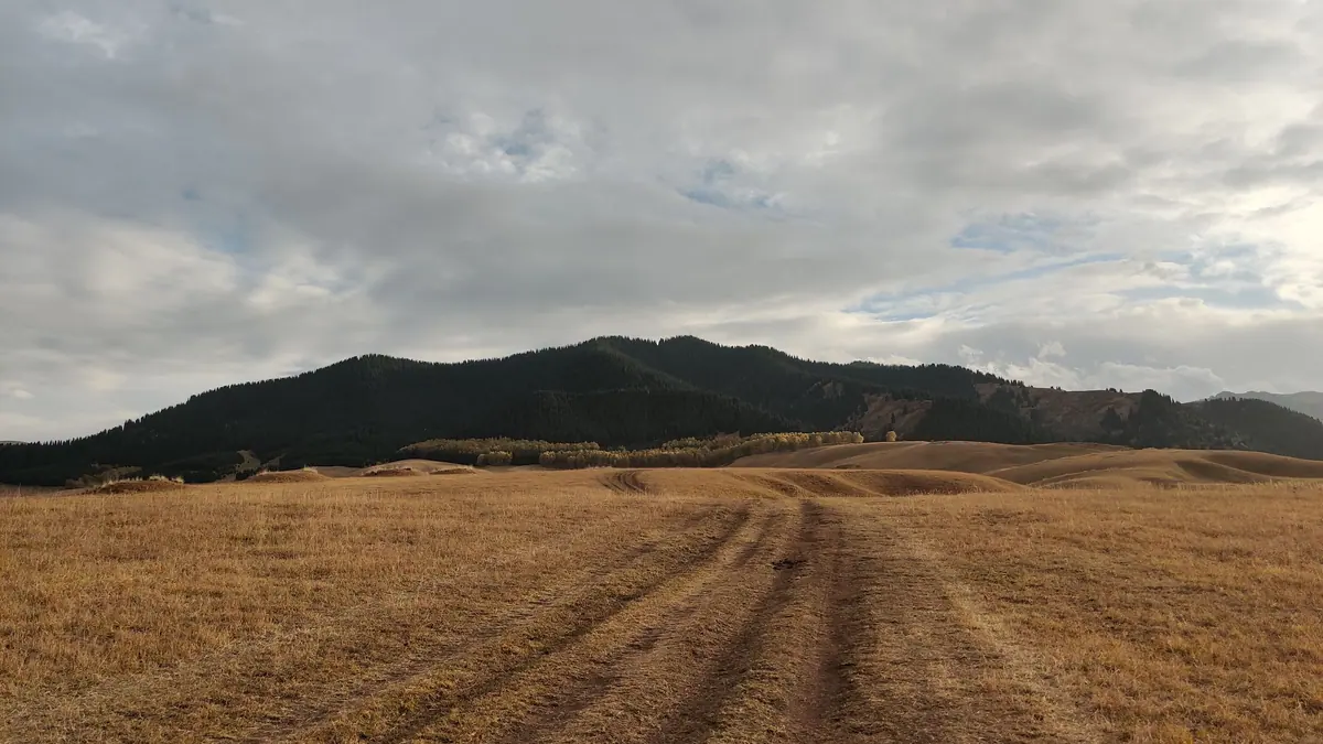
Real photos by travellers (Pexels, Unsplash, Wikimedia Commons); author and licence are given in each caption.
Kegen is a village and district centre in the Kegen valley, about 191 km in a straight line east of Almaty and roughly 2,000 m above sea level. It lies on the Almaty–Kegen–Narynkol road, so most foreign visitors meet it as a stop on a longer drive into the eastern Tian Shan. The Kokpek Pass is often paired with it on route plans, but we could not confirm the pass’s height or exact position.
Kegen is a transit village in the high steppe, not a sight in itself
Kegen is a working rural centre, not a resort or a protected area. Its value for a traveller is position: it sits on the roads from Almaty to Narynkol and from Almaty to Karakol in Kyrgyzstan, at the edge of mountain country.
Plan it as part of a multi-day loop by car. If you have no car and no Russian, this is a hard place to reach independently, because we could not confirm any bus or shared-taxi service.
Kegen at a glance
The table gathers what can be stated with confidence. Figures that disagree between Russian- and Kazakh-language Wikipedia are shown as a range.
| Item | Detail |
|---|---|
| Type | Village (selo), district centre |
| Elevation | About 2,000 m |
| Straight line to Almaty | About 191 km |
| Distance to regional capital Konaev | 276–281 km (Kazakh and Russian Wikipedia differ; neither says whether this is by road) |
| Setting | Left bank of the Kegen River, grass steppe |
| Founded | 1841, under the name Beket |
| Population | 9,049 (2009 census); 5,917 (start of 2019) |
| Climate class | Dfb, warm-summer humid continental |
The population figures fall sharply between 2009 and 2019, and Russian Wikipedia also gives a rounded 8,500. Treat any single number as approximate.
Getting to Kegen from Almaty means a long drive
Kegen is about 191 km from Almaty in a straight line; the road distance is longer, and we could not confirm it or the driving time. Two roads cross the village: Almaty–Narynkol and Almaty–Karakol, the latter continuing into Kyrgyzstan.
We could not confirm the road surface, winter closures, fuel stops or whether the border crossing towards Karakol is open to foreign travellers. Check all of this shortly before you go, especially outside summer. The Kegen–Karkara crossing and the 388 km route from Almaty to Karakol on OSM routing are covered in Almaty to Issyk-Kul. For a sense of how this area fits into day trips, see nature near Almaty.
The valley is open grass steppe at mountain height
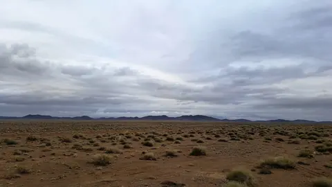
The landscape around Kegen is steppe on red-brown and black soils, covered in feather grass, fescue and other grasses, according to Kazakh Wikipedia. That is the draw: a wide, high plain rather than gorges or forest.
The village’s Soviet-era history fits this land. During collectivisation it hosted the Kumtekey collective farm, and from 1963 to 1997 it was the central estate of the Kyzyltu sheep-breeding state farm.
When to go: summer, with cold nights likely
We do not have measured climate normals for Kegen, so this advice rests on two facts: the Dfb climate class and an elevation of about 2,000 m. Dfb means warm summers and cold winters with no dry season.
June to August is the safest window for driving and for open steppe views. At this height, expect cool evenings even in summer and real cold from late autumn to early spring. If you plan a winter crossing, the unconfirmed road conditions are the main risk, not the scenery.
Kegen village: a district museum and local history
The village has a local history museum, opened in 1987 in the building where Oraz Zhandosov, secretary of the Kegen district, lived in 1933–34. It was renamed the Raiymbek District Museum of History and Local Lore in 2011. We could not confirm its opening hours or whether labels are available in English.
Kegen also has a district hospital, a shopping centre, a house of culture and libraries, useful to know on a remote route. Its administrative status has changed several times: Russian Wikipedia says it has been the centre of Kegen District since 2018, while Kazakh Wikipedia says it was the centre of Raiymbek District from 1997 to 2022.
What to pair with Kegen
Kegen makes sense as a link between better-known places. The distances below are straight lines; roads are longer.
| Place | Straight line from Kegen |
|---|---|
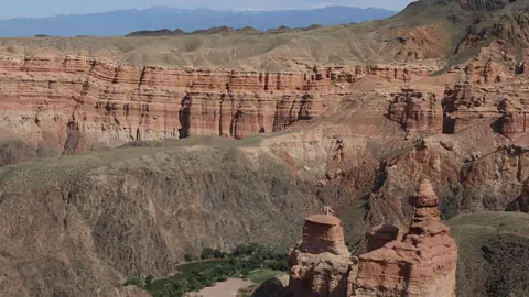
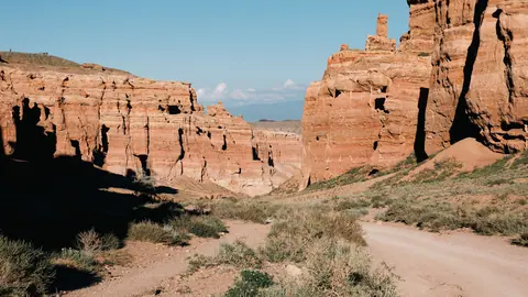
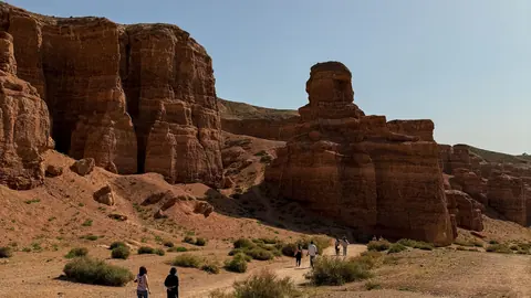
| Charyn Canyon | About 41 km |
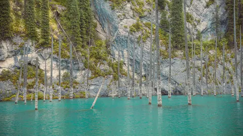
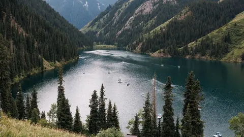
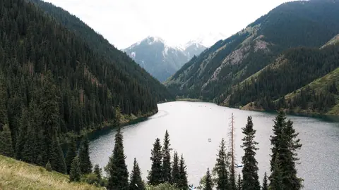
| Kaindy Lake | About 62 km |
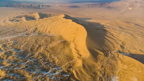
| Singing Dune, Altyn-Emel | About 108 km |
| Khan Tengri | About 119 km |
| Issyk Lake | About 144 km |
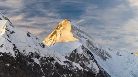
Charyn and Kaindy are the nearest of the places listed here. Khan Tengri is a high-mountain expedition target, not a side trip. You can still see it: about 70 km east of Kegen on the Narynkol road, the salt lake Tuzkol has Khan Tengri on its southern horizon on a clear day. Closer villages include Tumenbay (2 km), Temirlik (12 km), Karkara (14 km) and Tuyuk (17 km), by Russian Wikipedia.
What we could not confirm about the Kokpek Pass
We could not confirm the height of the Kokpek Pass, which road it lies on, or how far it is from Kegen. We also have no information on viewpoints, stopping places or seasonal closures there.
If the pass is the reason for your trip, verify these points locally before setting out, and do not rely on a single map.
- Height, exact location and road access of the Kokpek Pass
- Road distance, driving time and winter conditions between Almaty and Kegen
- Any bus or shared-taxi service to Kegen
- Opening hours and languages at the Kegen district museum
- Whether the road crossing towards Karakol, Kyrgyzstan, is open to foreign travellers
Kegen and the Kokpek Pass: tips before you go
- Combine Kegen with Charyn Canyon, about 41 km in a straight line, rather than making a separate trip.
- Kegen has a district hospital and shops, a useful fallback on an otherwise remote route at 2,000 m.
- Pack warm layers even in summer: at about 2,000 m in a Dfb climate, evenings are cooler than in Almaty.
- Before heading on towards Karakol, confirm the border crossing is open to your nationality.
More to see nearby