Kazygurt Mountain, the limestone ridge south of Shymkent tied to Noah's Ark: when to go, month by month
- January: off season
- February: off season
- March: possible
- April: good
- May: best time
- June: good
- July: possible
- August: possible
- September: best time
- October: good
- November: possible
- December: off season
May and September have mild highs and moderate rain at 1160 m, while spring is wet, midsummer hot and dry, and winter nights fall below −8 °C.
Kazygurt Mountain, the limestone ridge south of Shymkent tied to Noah's Ark: why go
Kazygurt's Noah's Ark monument
A concrete ark 150 m long, 25 m wide and 15 m high stands at 910 m, marking the legend that the ark landed on Kazygurt.
Akbura shrine and the stone cross
A 1991 mausoleum honours a Sufi saint of Yasawi's time; elsewhere a 32 m stone cross lies in a double stone circle.
A day trip south of Shymkent
The ridge is about 34 km in a straight line from Shymkent. We could not confirm buses, so plan on arranging a driver.
Spring green, summer heat
At 1160 m, April brings about 148 mm of rain, while July highs reach about 29 °C with only 11 mm. September is dry and milder.
Kazygurt was once a seabed
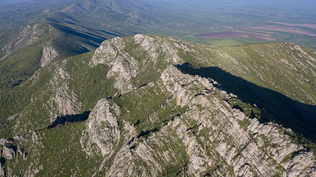
The ridge is limestone from an ancient sea floor, with karst, many springs and the possibility of caves, on a climate belt border.
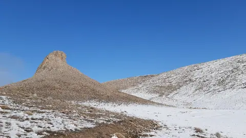
Kazygurt Mountain, the limestone ridge south of Shymkent tied to Noah's Ark in photos
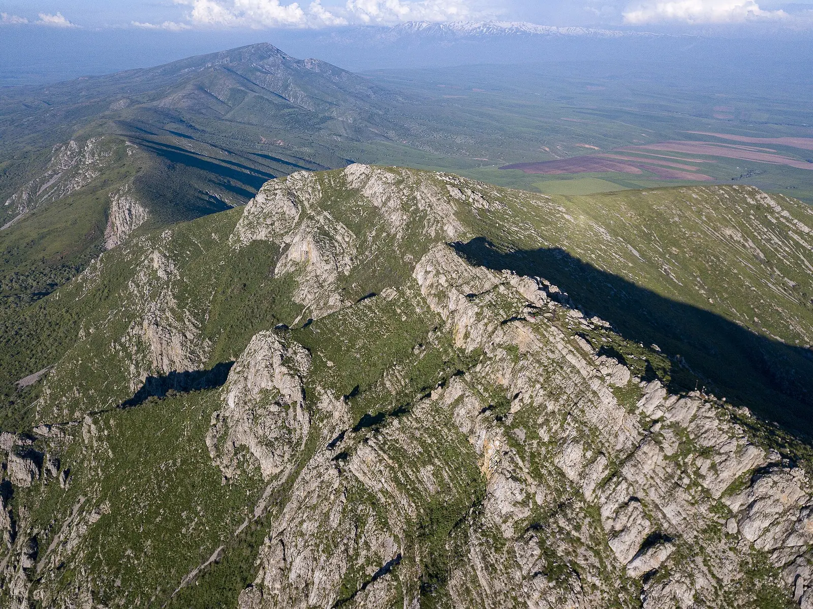
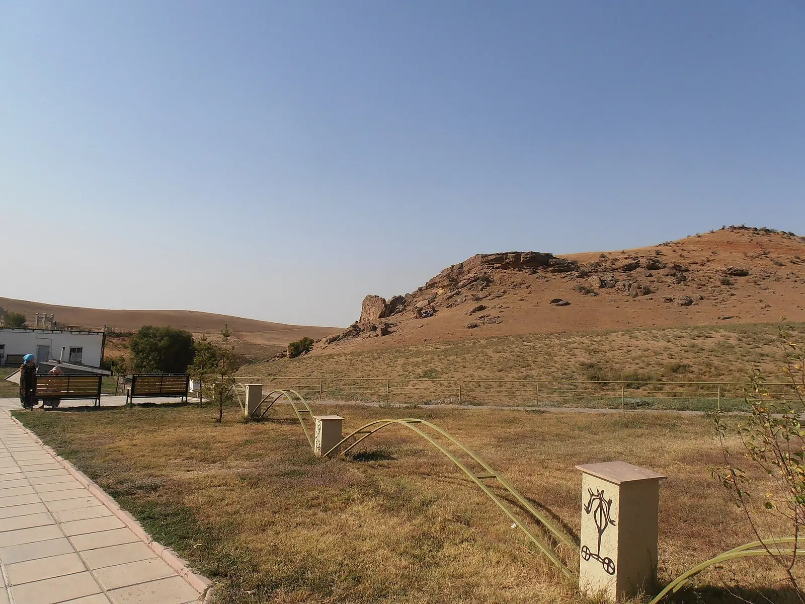
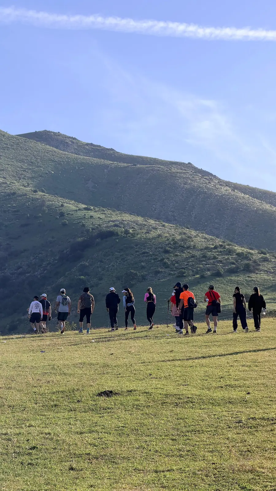
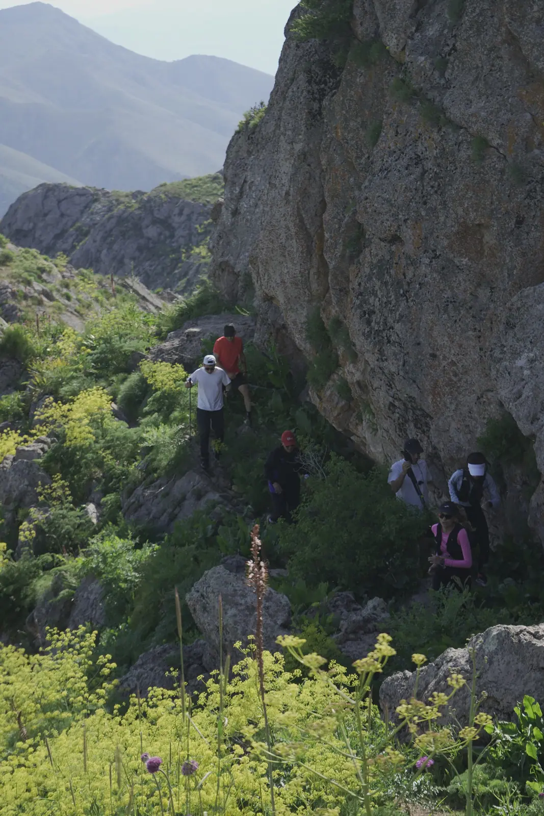
Real photos by travellers (Pexels, Unsplash, Wikimedia Commons); author and licence are given in each caption.
Kazygurt Mountain is a limestone ridge in southern Kazakhstan, about 34 km in a straight line from Shymkent, with its highest point at 1768 m. It is known less for climbing than for legend: local tradition holds that Noah’s Ark landed here, and the ridge carries a Muslim pilgrimage site, a large stone cross and a concrete ark monument. It suits a day out from Shymkent in spring or early autumn.
Where Kazygurt is and what kind of trip it is
Kazygurt sits in Turkistan Region, in the far south of Kazakhstan, south of Shymkent, with its western end, Bakanaly, well to the west of the Shymkent–Tashkent road. It belongs to the south-western spur of the Talas Alatau, the western end of the Tien Shan. From Almaty it is a long way: the nearest pages on this site in the Almaty area are over 600 km away in a straight line, so treat Kazygurt as part of a southern itinerary built around Shymkent and Turkistan, about 181 km away in a straight line.
The ridge is low and long rather than dramatic. The highest ground is at the eastern end, and the ridge falls westward to around 800 m, ending at Bakanaly. Between the two main summits lies a wide saddle that once carried a caravan road.
We could not confirm public transport to the mountain, the condition of access roads or any marked trail to the summit. A traveller without a car and without Russian or Kazakh should plan on arranging a driver in Shymkent and checking access in advance.
Key figures, and where the two Wikipedias disagree
The Russian and Kazakh Wikipedia articles give different figures for the ridge. The Kazakh article also gives a separate figure for the central raised part.
| Figure | Russian Wikipedia | Kazakh Wikipedia |
|---|---|---|
| Highest point | 1768 m | 1768 m, eastern part |
| Length | about 20 km, east to west | 55 km north-east to south-west; central part 22 km |
| Width | not given | up to 10 km |
| Distance from Shymkent | 40 km | about 35 km south |
| Western end, Bakanaly | 879 m | 875 m |
The computed straight-line distance from Shymkent is about 34 km; road distance will be longer. For planning, the summit height is the only figure both sources agree on exactly.
Limestone, springs and a border between climate belts
Kazygurt is made of limestone, the floor of an ancient sea, and its folds date to the Palaeozoic. Karst processes are active, which means many springs and the possibility of caves.
The ridge lies on the border between temperate and subtropical belts, and the plant cover changes with height. Up to 700–800 m there is ephemeral and wormwood semi-desert. Above that, to 1200–1400 m, come subtropical steppes of tall grasses on dark grey soils, with patches of broadleaf fruit forest. The Kazakh article adds juniper, hawthorn and apple trees in the gorges and valleys.
The sacred and legendary sites on the ridge
Kazygurt is a place of pilgrimage, and visitors should treat it as such. The sites below are the ones described in the Russian Wikipedia article; we could not confirm their exact locations, access paths or visiting rules.
| Site | What it is | Detail |
|---|---|---|
| Akbura (White Camel) | Muslim holy place at the southern foot of the main summit | Mausoleum built in 1991; visited mainly by women hoping to have children |
| Stone cross | Cross laid from stones inside a double stone circle | 32 m long, 4 m wide; believed to have been used for Zoroastrian rites |
| Noah’s Ark monument | Concrete ark at 910 m | 150 m long, 25 m wide, 15 m high |
Akbura is named after a Sufi saint who lived in the time of Khoja Ahmed Yasawi, whose mausoleum stands in Turkistan. According to the legend, he owned a white camel and, when he prayed, put not only himself but the camel into a trance.
The ark legend has several layers. One version says the ark moored at Kazygurt two thousand years ago and the area became known as Keme-Kalgan, the place of the ark; the mountain was then the highest on earth and stayed above the flood. Supporters point to the curved hollow near the summit. The Kazakh article records an older Turkic version in which a figure called Zhylagan-ata takes Noah’s place, later merged with the Islamic story of the prophet Nuh.
When to go to Kazygurt
May and September are the most comfortable months; July and August are hot and dry, and winter brings frost. The figures below are ERA5 reanalysis normals for 2011–2020 at a grid point at 1160 m, not a weather station.
Day high, °C / Night low, °C · Rain/snow, mm
A computed reanalysis normal for these coordinates, not weather station records.
Monthly figures
| Month | Day high, °C | Night low, °C | Rain/snow, mm |
|---|---|---|---|
| Jan | 1.3 | -6.1 | 95.1 |
| Feb | 3 | -5.2 | 97.8 |
| Mar | 10.2 | 0.9 | 135.6 |
| Apr | 16.5 | 6.2 | 161.9 |
| May | 21.8 | 10.8 | 99.4 |
| Jun | 25.8 | 14 | 49.1 |
| Jul | 28.8 | 16.3 | 12.9 |
| Aug | 27.9 | 15.5 | 11.6 |
| Sep | 23.4 | 10.8 | 17.8 |
| Oct | 16 | 4.6 | 58.6 |
| Nov | 7.5 | -1.9 | 96.1 |
| Dec | 1.9 | -6 | 95.7 |
At 1160 m, July averages highs of about 29 °C and almost no rain (around 13 mm). The ark monument at 910 m is lower and will be warmer; the summit at 1768 m is about 600 m higher than the grid point and will be noticeably cooler and windier. Spring is the wet season: March to April bring 120–150 mm a month, so paths on limestone and clay can be muddy. From December to February highs hover near 1–2 °C and nights fall to around −8 °C. September combines dry weather with highs near 23 °C, which makes it a good month for walking.
Combining Kazygurt with the rest of the south
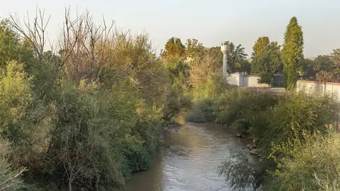
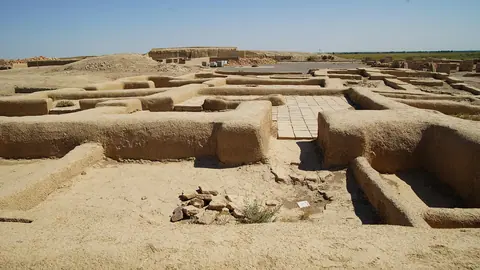
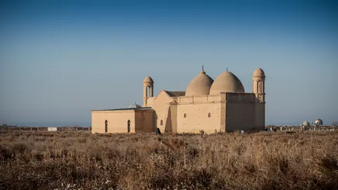
Kazygurt fits easily into a few days based in Shymkent. The spa town of Saryagash is about 76 km away in a straight line. The ruined city of Otrar and the Arystan Bab mausoleum lie about 143–146 km away in a straight line. Pairing Kazygurt’s legend with the Yasawi sites gives context to the Akbura story, since its saint is linked to Yasawi’s era.
- Public transport or a reliable route by road from Shymkent to the ark monument and Akbura
- Whether there is a marked trail to the 1768 m summit and its condition
- Visiting rules and dress expectations at the Akbura mausoleum
- Exact location and access to the stone cross
- Facilities such as water, food or toilets at the sites
Kazygurt Mountain, the limestone ridge south of Shymkent tied to Noah's Ark: tips before you go
- Aim for May or September: highs at 1160 m are about 21–23 °C, against nearly 30 °C in July.
- Carry water in July and August: monthly rain at 1160 m drops to about 11 mm and highs approach 29 °C.
- Expect mud in March and April, the wettest months at 120–150 mm, on limestone and clay paths.
- Akbura is a pilgrimage shrine visited mainly by women seeking children; behave and dress with respect.
More to see nearby
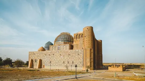
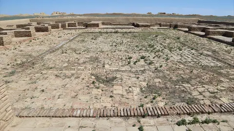


Frequently asked questions
How far is Kazygurt from Shymkent?
How high is Kazygurt Mountain?
What is Kazygurt Keme?
What is the weather like at Kazygurt?
Is Kazygurt a religious site?
Sources
Read also
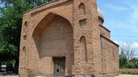 Sairam: the ancient Silk Road town of Isfijab on the edge of Shymkent
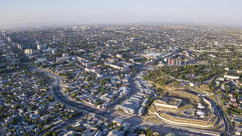 Things to do in Shymkent and how to use it as a base in southern Kazakhstan
- Where to go from Shymkent: shrines, Silk Road ruins, canyons and spas
-
A South Kazakhstan itinerary from Shymkent to Turkistan and Otrar, day by day
- What to see in Turkistan, Kazakhstan: shrines, ruined cities and spas of the Turkistan Region
 Karatau Reserve: a young mountain sanctuary in southern Kazakhstan