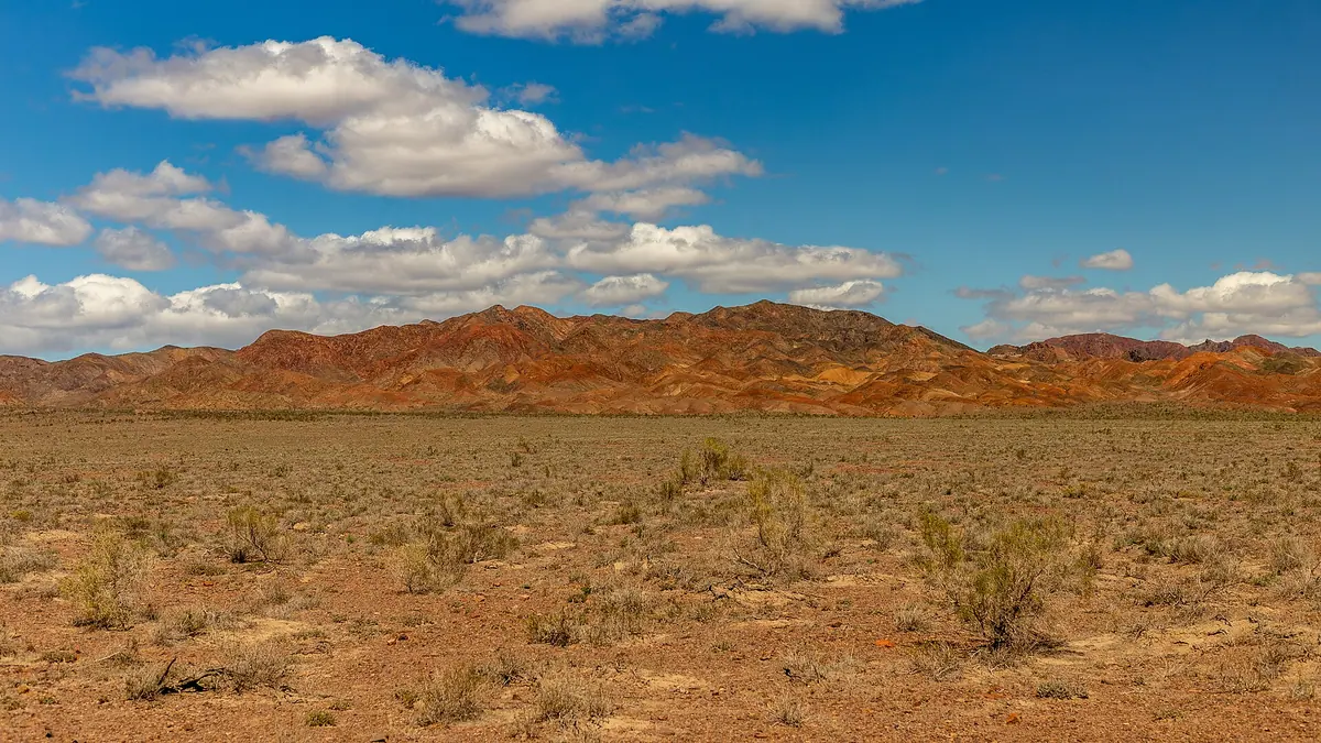
The Katutau mountains: when to go, month by month
- January: off season
- February: off season
- March: possible
- April: good
- May: best time
- June: good
- July: good
- August: good
- September: best time
- October: good
- November: possible
- December: off season
April to October is the recommended period; May, June and September are mildest, while midwinter days stay below freezing.
The Katutau mountains: why go
Katutau lava domes
Large lava domes are the most common landform, with ash and lava layers interleaved and reaching up to 100 m in thickness.
Permian volcanoes of Katutau
Two palaeovolcanoes, in the east and west of the range, built Katutau from rhyolite, andesite, dacite and basalt during the Permian period.
Part of an Altyn-Emel trip
Katutau is about 111 km in a straight line from Taldykorgan and 59 km from the Singing Dune, so it fits a wider tour of the park.
May and September at Katutau
At about 1600 m, May and September days reach around 19°C with nights of 7-8°C, milder than July, when lower ground gets hotter.
Ocean floor in the Tiger Mountains
The fragile clays of the Tiger Mountains preserve sediment from the bed of the ancient Tethys ocean and crumble from any physical impact.
The Katutau mountains in photos
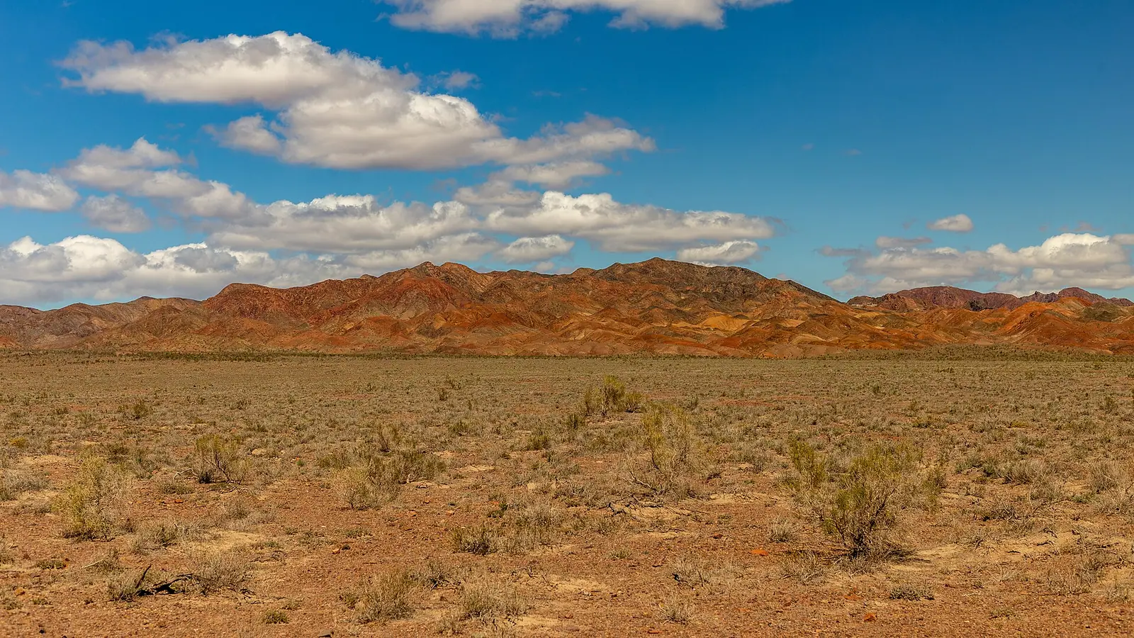
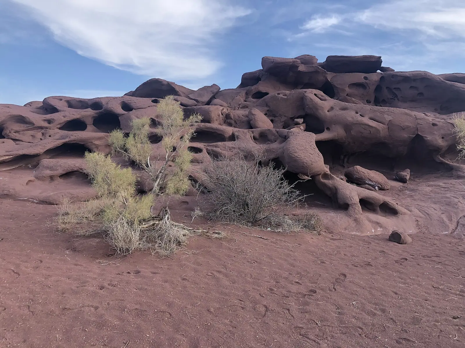
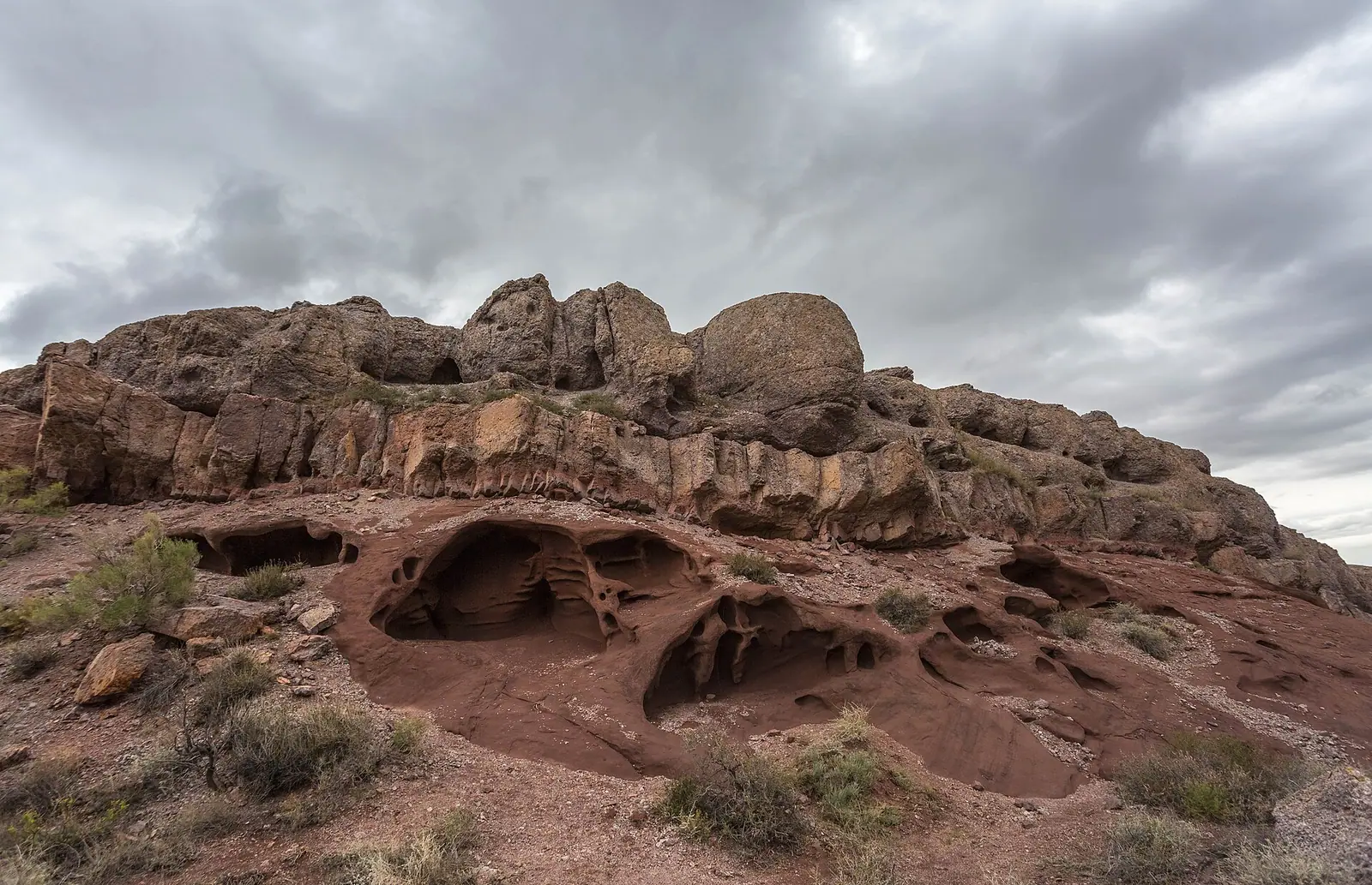
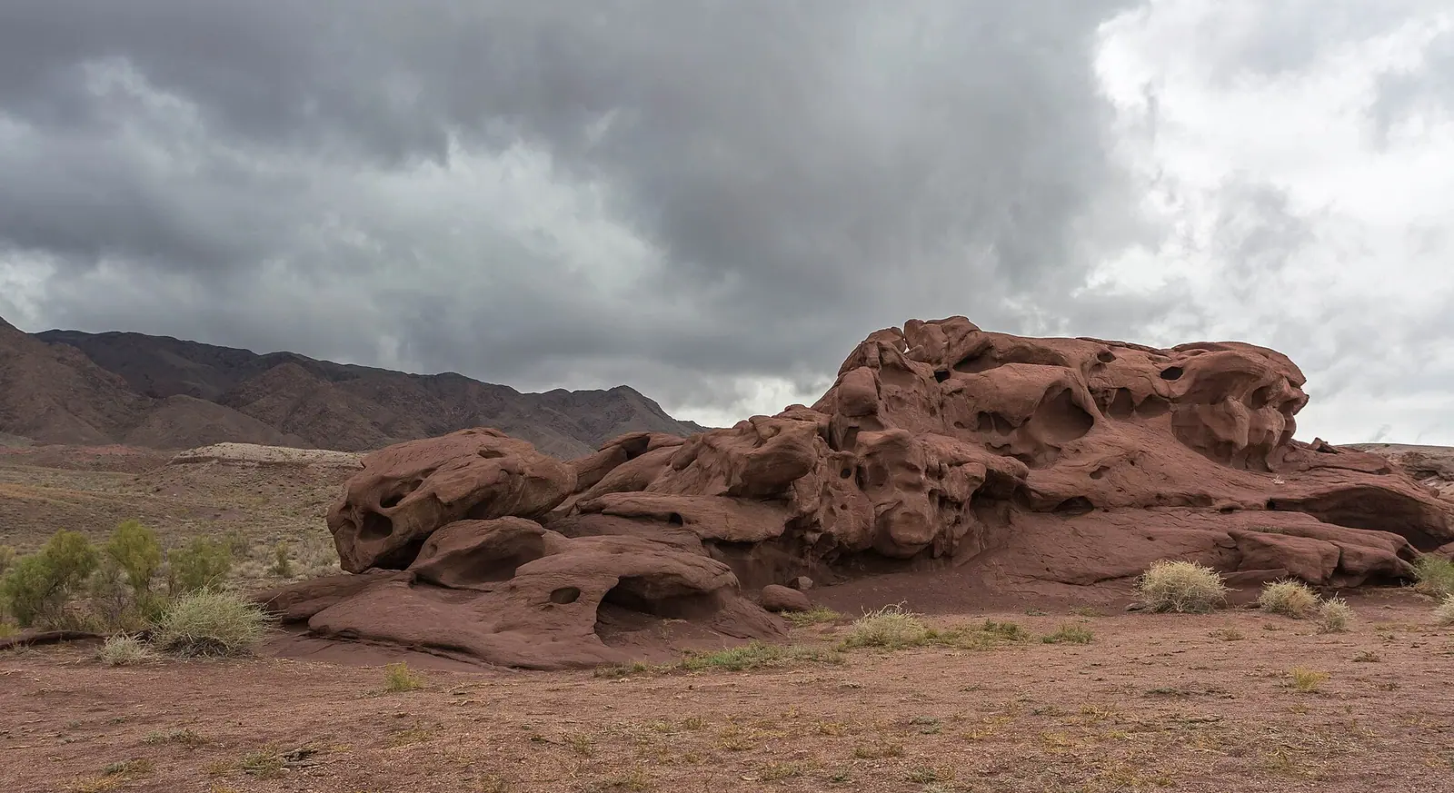
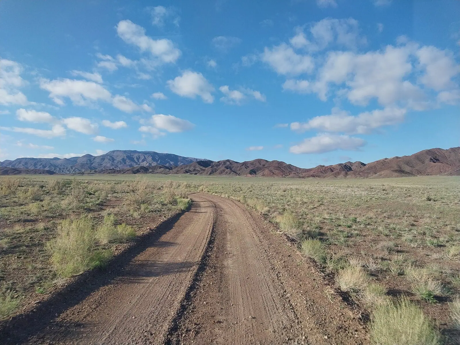
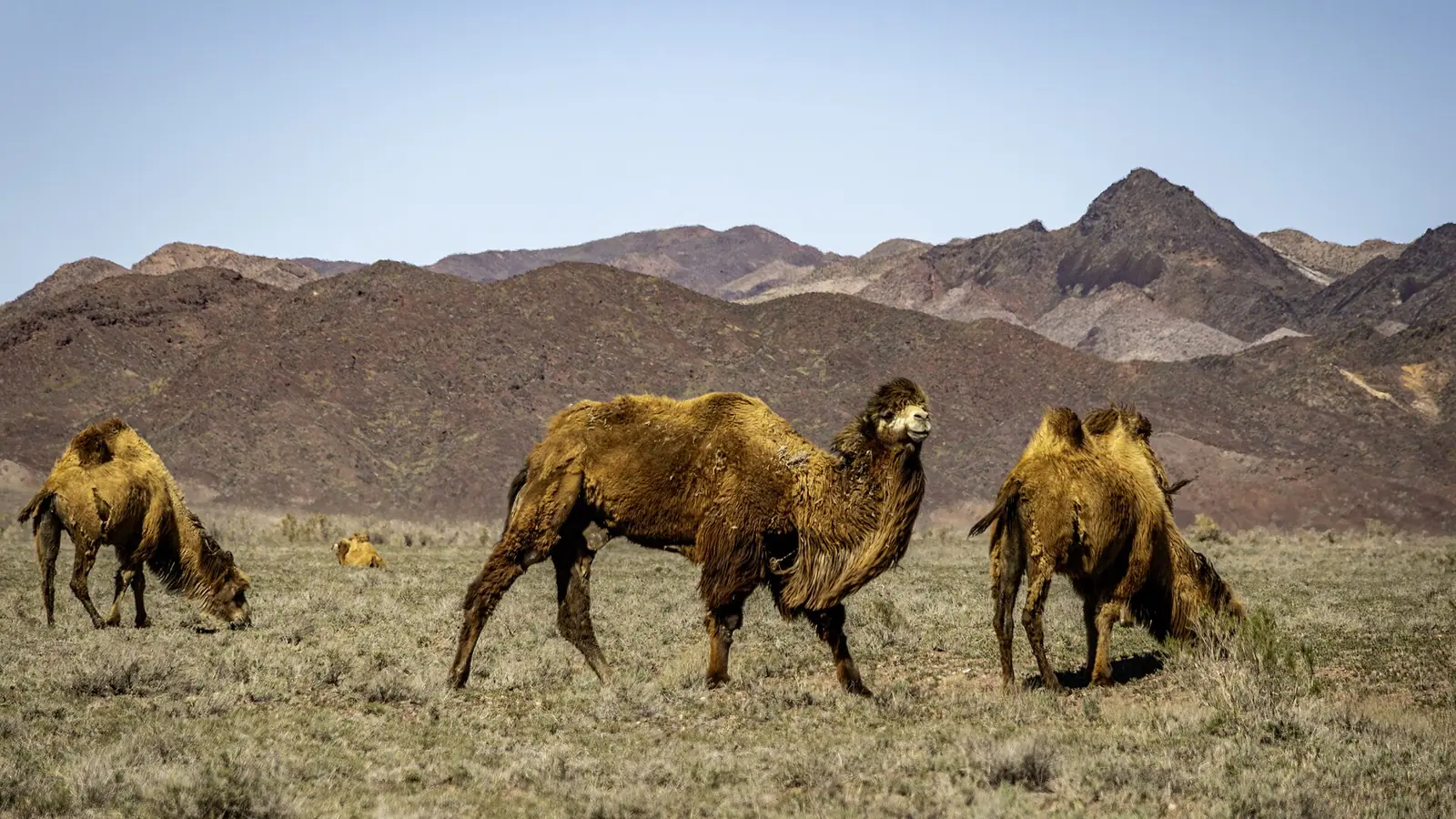
Real photos by travellers (Pexels, Unsplash, Wikimedia Commons); author and licence are given in each caption.
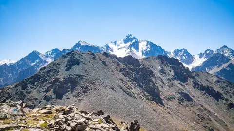
The Katutau mountains are a low volcanic ridge in the eastern part of Altyn-Emel National Park in south-east Kazakhstan, about 210 km in a straight line north-east of Almaty. The name translates as “harsh mountains”, and the appeal is geology: Permian lava flows, ash beds and, in the south-eastern foothills, fragile coloured clays called the Tiger Mountains. Treat it as part of an Altyn-Emel trip rather than a stand-alone destination.
Where Katutau is and what kind of trip it takes
Katutau lies in the Ili river valley inside Altyn-Emel, a national park in the Zhetysu region. Russian-language Wikipedia places it in Kerbulak district of Almaty region, while the Kazakh article puts it in Kerbulak and Panfilov districts of Zhetysu region.
The nearest city is Taldykorgan, about 111 km in a straight line. Konaev is about 171 km and Almaty about 210 km away, again as straight lines; road distances will be longer. We could not confirm any public transport to the range, so a visitor without a car should plan around how they reach Altyn-Emel itself.
The Singing Dune, another Altyn-Emel sight, is about 59 km in a straight line from Katutau, which is why most people would combine the two.
Key facts, and where the sources disagree
The sources agree on the basics but not on height or rock type. Use the range rather than a single figure.
| Item | What the sources say |
|---|---|
| Highest point | 1720 m (Russian and English Wikipedia); 1630 m (Kazakh Wikipedia) |
| Size | About 45 km long, south-west to north-east, 10-20 km wide (Kazakh Wikipedia) |
| Origin | Volcanic: two palaeovolcanoes, in the east and west of the range |
| Main rocks | Permian lavas, tuffs, rhyolites, andesites, dacites, basalts; Kazakh Wikipedia instead lists sandstone, conglomerate, marl and limestone |
| Protection | Natural monument within Altyn-Emel National Park |
| Suggested visit period | April-October (English Wikipedia) |
For a traveller the difference between 1630 m and 1720 m changes little. The geology dispute matters more if you come for the volcanic story: the lava and ash layers are described in two of three sources.
Volcanoes, lava domes and an ancient seabed
Katutau was built by eruptions in the Permian period. English Wikipedia describes large lava domes as the most common landform, with ash-and-bomb flows and lava sheets interleaved in layers up to 100 m thick. In places the volcanic rock is cut by Permian and Triassic intrusions of granite, diorite and gabbro.
Russian Wikipedia adds that remains of mud volcanoes have been found in the surrounding area. The Kazakh article notes many springs in the uplifted middle part of the ridge, and wormwood, chiy grass and shrubs growing on the intermountain plain.
The Tiger Mountains in the south-eastern foothills
The Tiger Mountains are a separate set of highlands at the south-eastern edge of Katutau, named for the colour of the clays they are made of. According to English Wikipedia they have been rising for the last two million years and preserve sedimentary rock from the floor of the ancient Tethys ocean.
The rock is very fragile and crumbles from any physical impact. Wind and water have carved it into odd figures, so climbing on the formations damages them; keep to existing tracks and look rather than touch.
When to go to the Katutau mountains
April to October is the recommended window, and the climate figures support it.
Day high, °C / Night low, °C · Rain/snow, mm
A computed reanalysis normal, not weather station records. Temperature is from ERA5-Land (about 9 km grid); precipitation is from ERA5, a value for a cell about 25 km wide rather than a mountain station, so it may miss extra mountain precipitation.
Monthly figures
| Month | Day high, °C | Night low, °C | Rain/snow, mm |
|---|---|---|---|
| Jan | -3.8 | -12.2 | 8.2 |
| Feb | -2 | -10.9 | 8.4 |
| Mar | 6.7 | -3.8 | 12.5 |
| Apr | 14.2 | 2.6 | 28.5 |
| May | 19.1 | 7 | 31.8 |
| Jun | 22.8 | 11.4 | 42.7 |
| Jul | 25.8 | 14 | 24.8 |
| Aug | 24.4 | 12.8 | 20.3 |
| Sep | 19 | 7.6 | 13.5 |
| Oct | 10.6 | 0.5 | 15.2 |
| Nov | 1.8 | -6.1 | 23.1 |
| Dec | -2.3 | -10.1 | 10.6 |
Source: Open-Meteo: ERA5-Land (temperature) and ERA5 (precipitation), 2011–2020
These are ERA5 reanalysis normals for 2011-2020 at a grid point at 1604 m, close to the top of the range, not a weather station. Much of the area you would drive through sits lower, so expect warmer days there than the table shows, especially in July and August.
| Period | What to expect at about 1600 m |
|---|---|
| April | Days around 14°C, nights near 3°C; cold mornings |
| May-June | Days 19-23°C; June is the wettest month at about 43 mm |
| July-August | Days 24-26°C, nights 13-14°C; hotter on lower ground |
| September | Days around 19°C, nights near 8°C, drier |
| October | Days around 10°C, nights near freezing |
| November-March | Days at or below freezing in midwinter, January lows near -12°C |
May and September give the mildest balance of warmth and dryness. English Wikipedia notes the landscape can be viewed at any time of day, including at night, and mentions the site’s silence as one of its qualities.
What stands in the way
The practical barrier is access, and we could not confirm the details. Katutau is inside a national park, so expect park rules to apply, but we have no confirmed information on entry permits, fees, road surface or whether a ranger or guide is required.
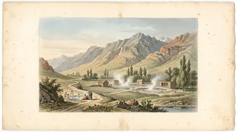
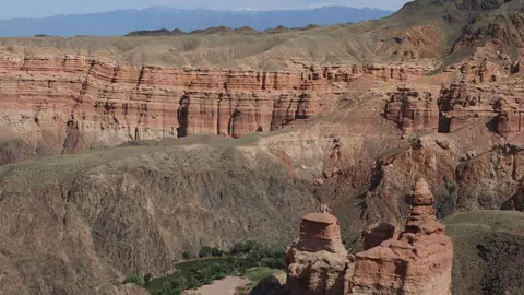
If you are building a wider route through the south-east, Charyn Canyon is about 90 km in a straight line and the hot springs at Zharkent-Arasan about 53 km. For shorter options from the city, see nature near Almaty.
- Entry permit and fee rules for the Katutau area of Altyn-Emel National Park
- Road condition and whether a 4x4 is needed to reach the range and the Tiger Mountains
- Whether a ranger or guide must accompany visitors
- Any public transport to the park for travellers without a car
- Where the nearest fuel, water and overnight options are
The Katutau mountains: tips before you go
- Aim for May or September: around 19°C by day at 1600 m, while July reaches about 26°C and lower ground is hotter.
- Do not climb on the Tiger Mountains clays: sources describe the rock as crumbling from any physical impact.
- Pair Katutau with the Singing Dune, about 59 km away in a straight line, as both lie in Altyn-Emel National Park.
- Pack warm layers in April and October: nights at about 1600 m drop to around 1-3°C.
More to see nearby


Frequently asked questions
How high are the Katutau mountains?
What does Katutau mean?
Are the Katutau mountains volcanic?
How far are the Katutau mountains from Almaty?
What are the Tiger Mountains?
Sources
Read also
 Besshatyr kurgans: a Saka royal necropolis on the Ili River
- Choosing a desert in Kazakhstan: dunes, chalk cliffs and a vanished sea
 Tamgaly Tas petroglyphs: a Buddhist open-air temple on the Ili River
 The Ili River: what a rafting trip to Lake Balkhash involves
 Altyn-Emel
-
The Singing Dune in Altyn-Emel