Verified: 2026-11
Kaskelen Gorge near Almaty: when to go, month by month
- January: off season
- February: off season
- March: off season
- April: possible
- May: good
- June: good
- July: best time
- August: best time
- September: best time
- October: good
- November: off season
- December: off season
Guides give July and August as the main season, with high water in spring and snow up high in winter.
Kaskelen Gorge near Almaty: why go
The Uy-Tas boulder
A glacial erratic of solid grey granite, 5 m high, 6 m wide and over 500 tons, sitting alone on the slope.
From the river to meadows
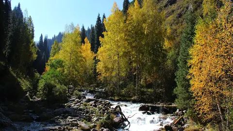
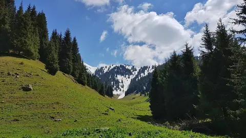
Wild apple, apricot and birch lower down, then spruce and meadows up high. The trail follows the river with a gradual climb.
Family-friendly to Uy-Tas
The return walk is 8–10 km with little gain, and guides say it suits children over 6–8. There are no markers higher up.
Thin sourcing
We found no park page on this gorge. Figures come from guides and Wikipedia, so treat them as approximate.
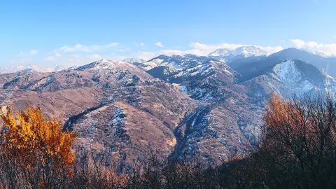
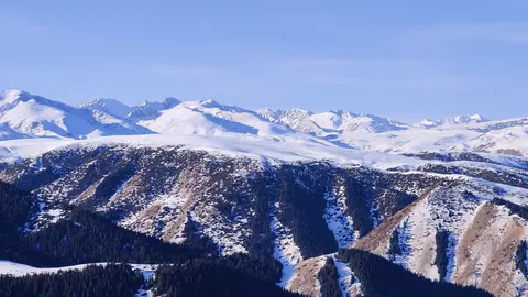
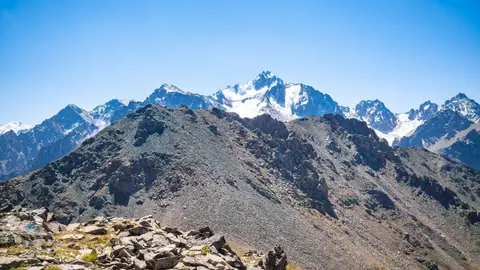
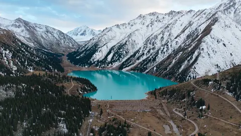
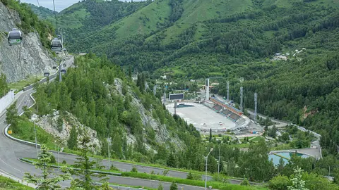
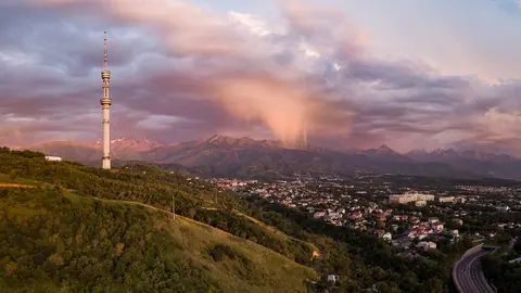
Kaskelen Gorge near Almaty in photos
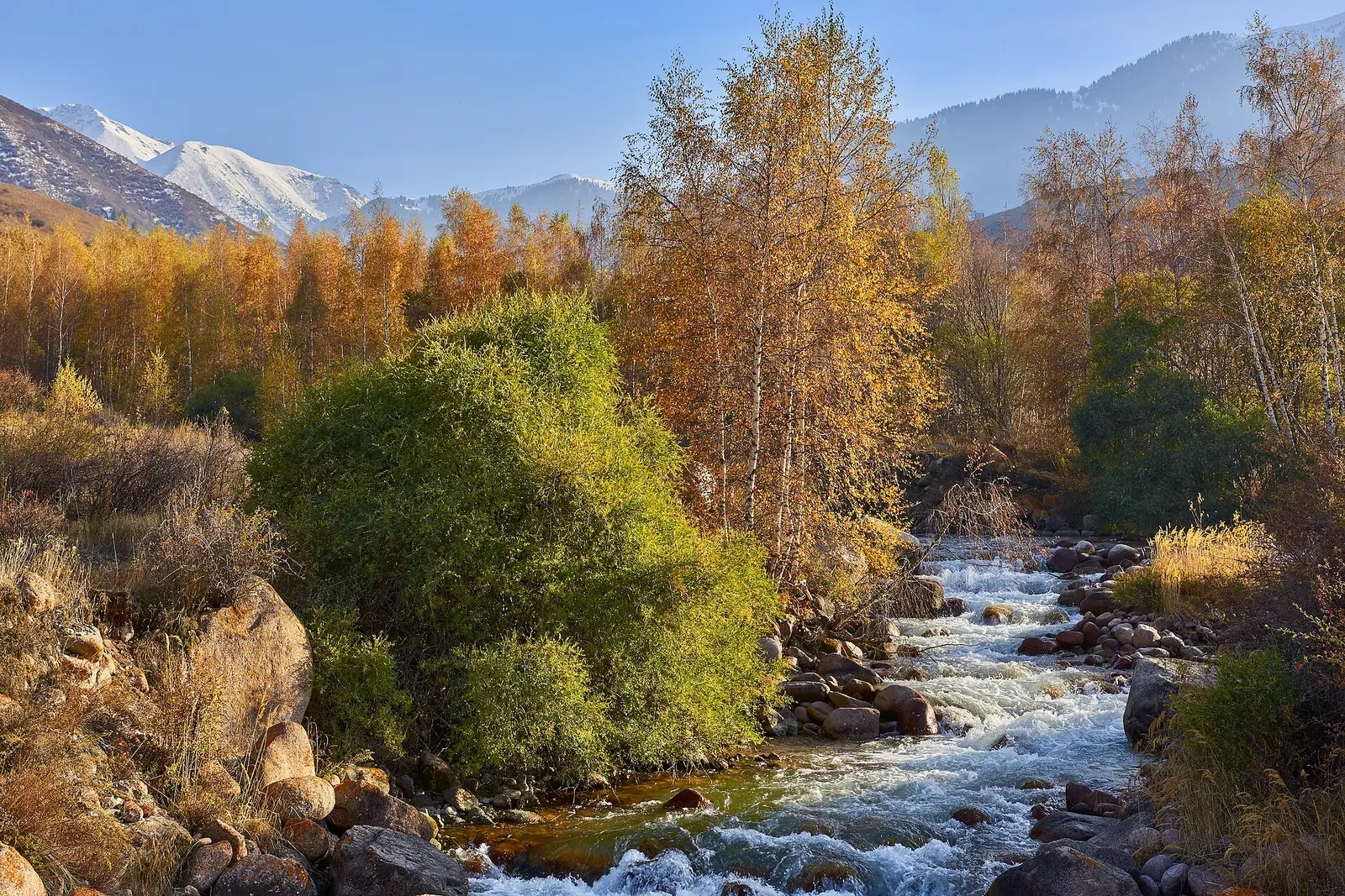
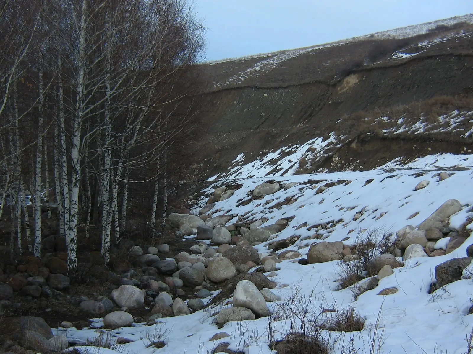
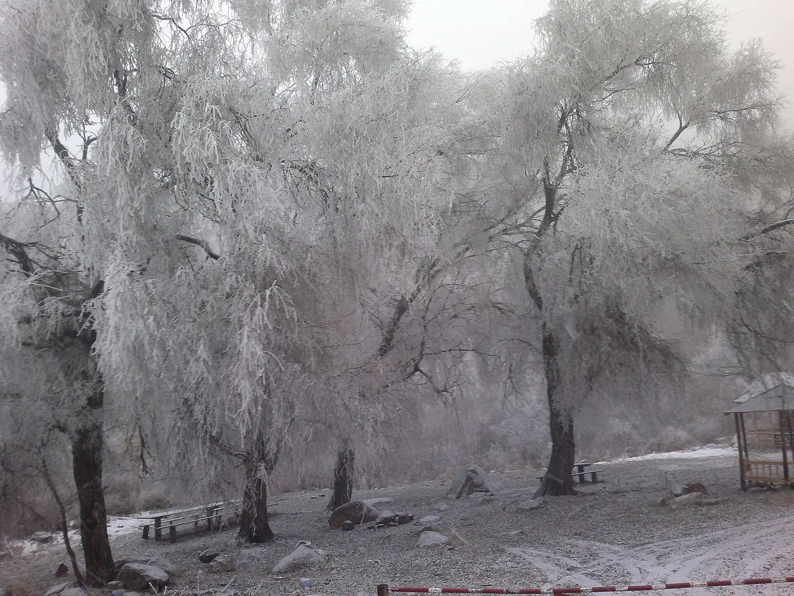
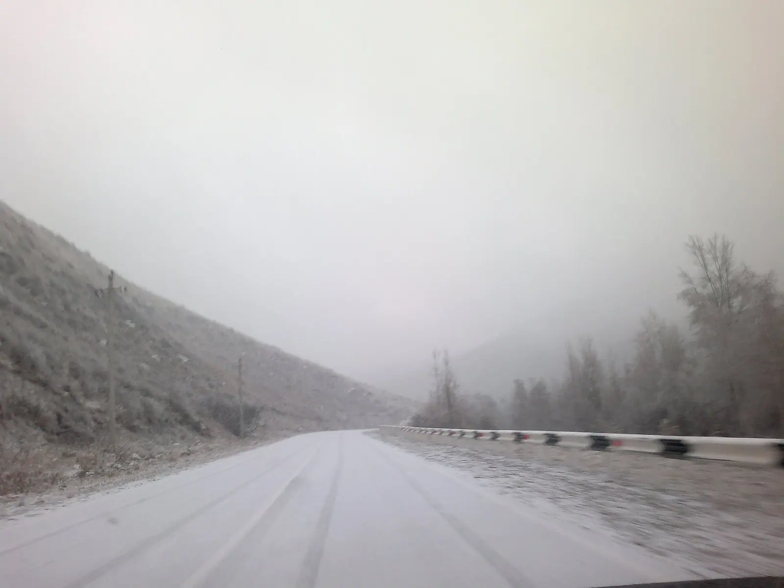
Real photos by travellers (Pexels, Unsplash, Wikimedia Commons); author and licence are given in each caption.
Kaskelen Gorge is the valley of the Kaskelen River at the western end of the Ile-Alatau range, a protected natural monument inside Ile-Alatau National Park. It offers what Almaty’s busier gorges cannot: empty trails and the huge Uy-Tas boulder. In return you get a rough access road, no signs up high and little phone signal, according to guides.
Is this hike for you?
Choose it if you have a car or driver and want a quiet day in the mountains, with no scrambling or exposed sections reported. Skip it if you have no transport, or if you want big alpine views: guides themselves say the scenery is less dramatic than higher valleys. City-bus alternatives are in nature near Almaty.
The route, stage by stage
Timings are guides’ figures for a group, on a trail that follows the river with a gradual climb.
| Stage | Surroundings | Time | Marker |
|---|---|---|---|
| Lower gorge | wild apple, apricot, birch, river | 1.5–2 h | from the eco-post |
| Uy-Tas | lone boulder on the slope | 30 min stop | 8–10 km return from start |
| Upper gorge | spruce, then meadows | 1.5–2 h | turn back at 2,200–2,260 m |
| Descent | same trail | 2–2.5 h | 500–700 m total gain |
Families can stop at Uy-Tas and turn around. Above it there are no trail markers, so download a track first. Serious routes begin higher up: guides describe a two-day trek to the Cossack Lakes at 3,300 m (day one: 14 km and 1,800 m of ascent), and climbers report a 12 km approach to a rock wall below Peak 3620, the last part with no path.
Why Uy-Tas matters
Uy-Tas is the reason to pick this gorge over its neighbours. At 5 m high and over 500 tons of crack-free granite, it sits alone where a glacier left it. Guides call it the largest erratic in the Tien Shan, but we found no scientific source for that claim.
Getting there
Sources disagree on distance, so navigate to the gorge by map. Head west on the Upper Kaskelen road through the town of Kaskelen, then turn south towards the mountains after the river bridge. The road is paved for about half the gorge, then dirt, and a sedan may struggle after rain. You pass an eco-post at the park boundary. Order No. 232 sets 0.15 MCI per person per day for sanitation, 0.2 MCI for a tent pitch and 0.1 MCI for parking. Our fee calculator converts that to tenge, and the Ile-Alatau page has the park’s general rules.
Which month?
We found no official season, so this is what guides report.
| Period | Conditions |
|---|---|
| May–June | meadows in bloom, river high, crossings harder |
| July–August | main season, most reliable weather |
| September–October | autumn colour lower down, cooler |
| November–April | snow up high, short walks only lower down |
Next door to the east, Aksay Gorge has a forest trail to a small monastery.
Kaskelen Gorge near Almaty: tips before you go
- Use a high-clearance car, as the road is dirt past halfway.
- Download a track first, as there are no markers or much signal above Uy-Tas.
- In May and June the river runs high and crossings are harder.
More to see nearby