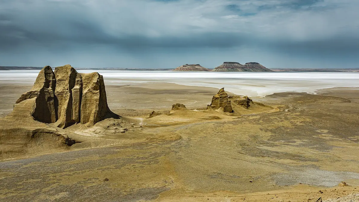
Karynzharyk Sands: when to go, month by month
- January: possible
- February: possible
- March: good
- April: best time
- May: good
- June: possible
- July: off season
- August: possible
- September: good
- October: best time
- November: possible
- December: possible
Summer highs of 35–38°C in a basin below sea level rule out June to August, winter is cold, and April and October are the mildest months.
Karynzharyk Sands: why go
Karynzharyk's low sand hills
Sand hills of 5–15 m formed from weathered bedrock, spread along a depression 130–160 km long and 24–40 km wide.
Salt flats below sea level
The Kendirli salt flat on the eastern side lies 52 m below sea level, with salt lakes and bare clay pans scattered across the basin.
A long way from Aktau
About 275 km in a straight line from Aktau, with no road, fuel or facilities we could confirm. Plan it as a self-supported desert trip.
Karynzharyk in spring and autumn
April highs average about 21°C and October about 19°C. July averages 38°C with nights near 26°C, too hot for a remote basin.
White saxaul on the western rise
The raised west, up to 200 m, carries white saxaul, boyalych and wormwood, while the flat east grows mostly wormwood and saltwort.
Karynzharyk Sands in photos
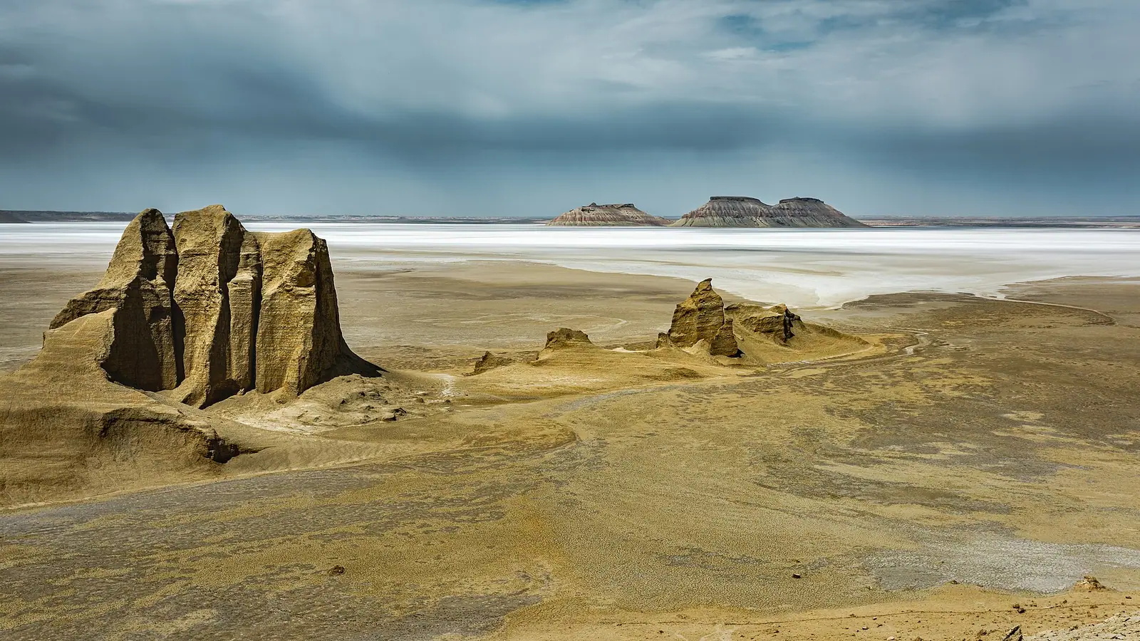
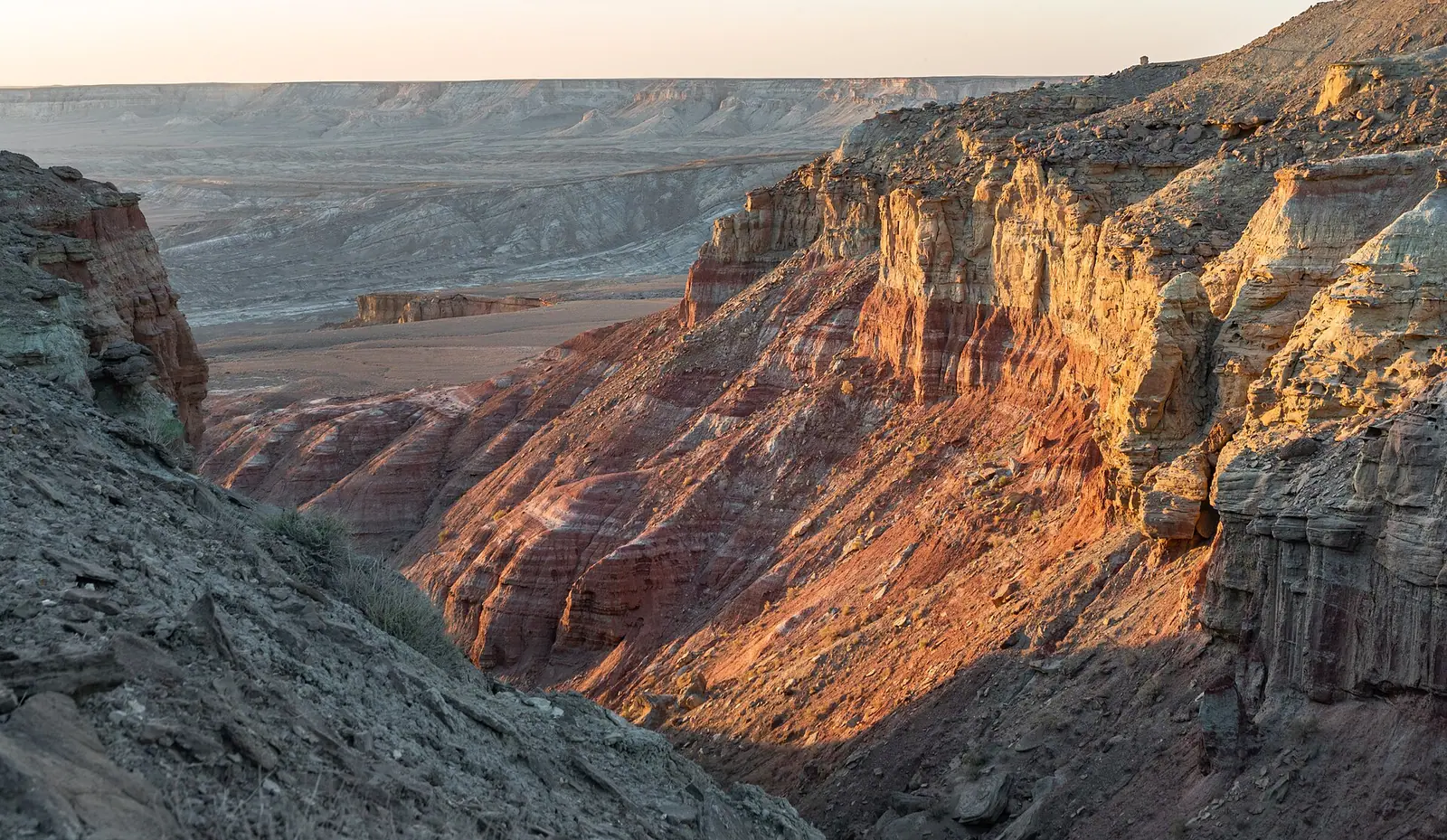
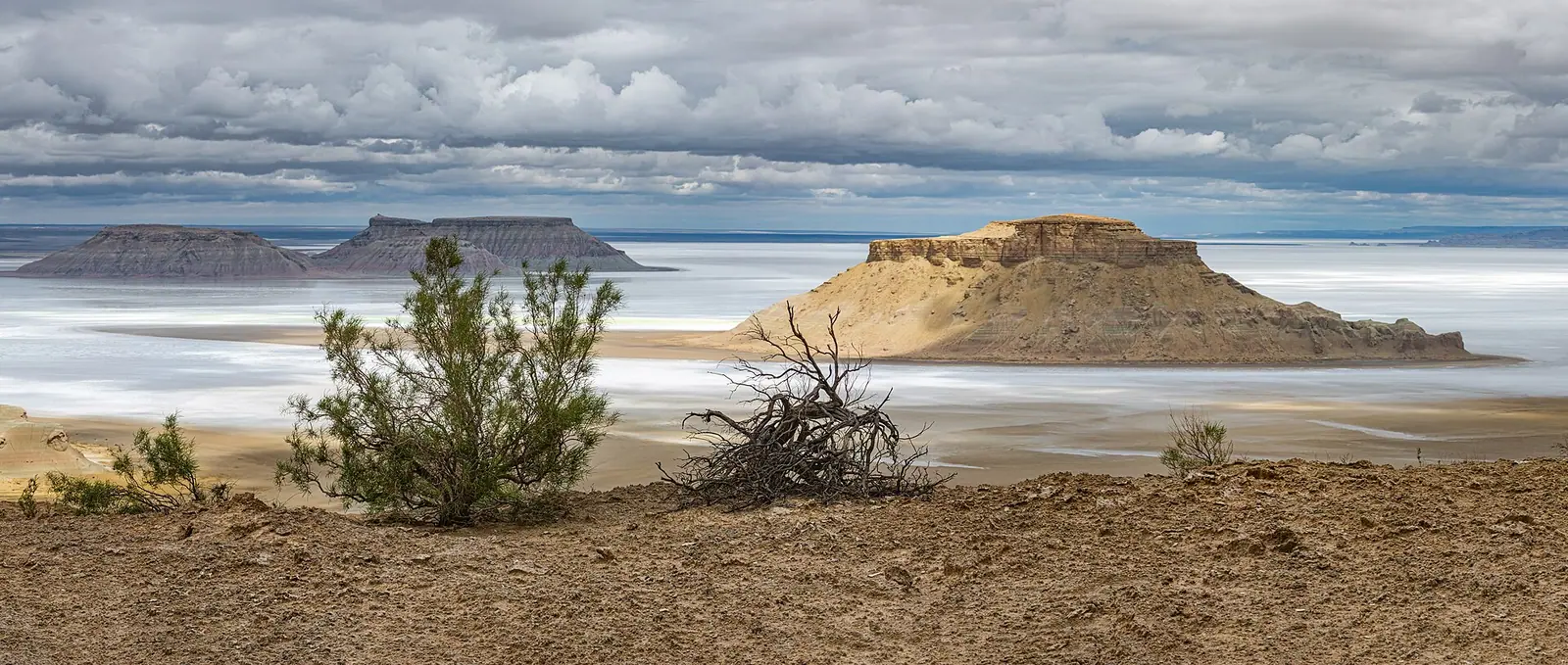
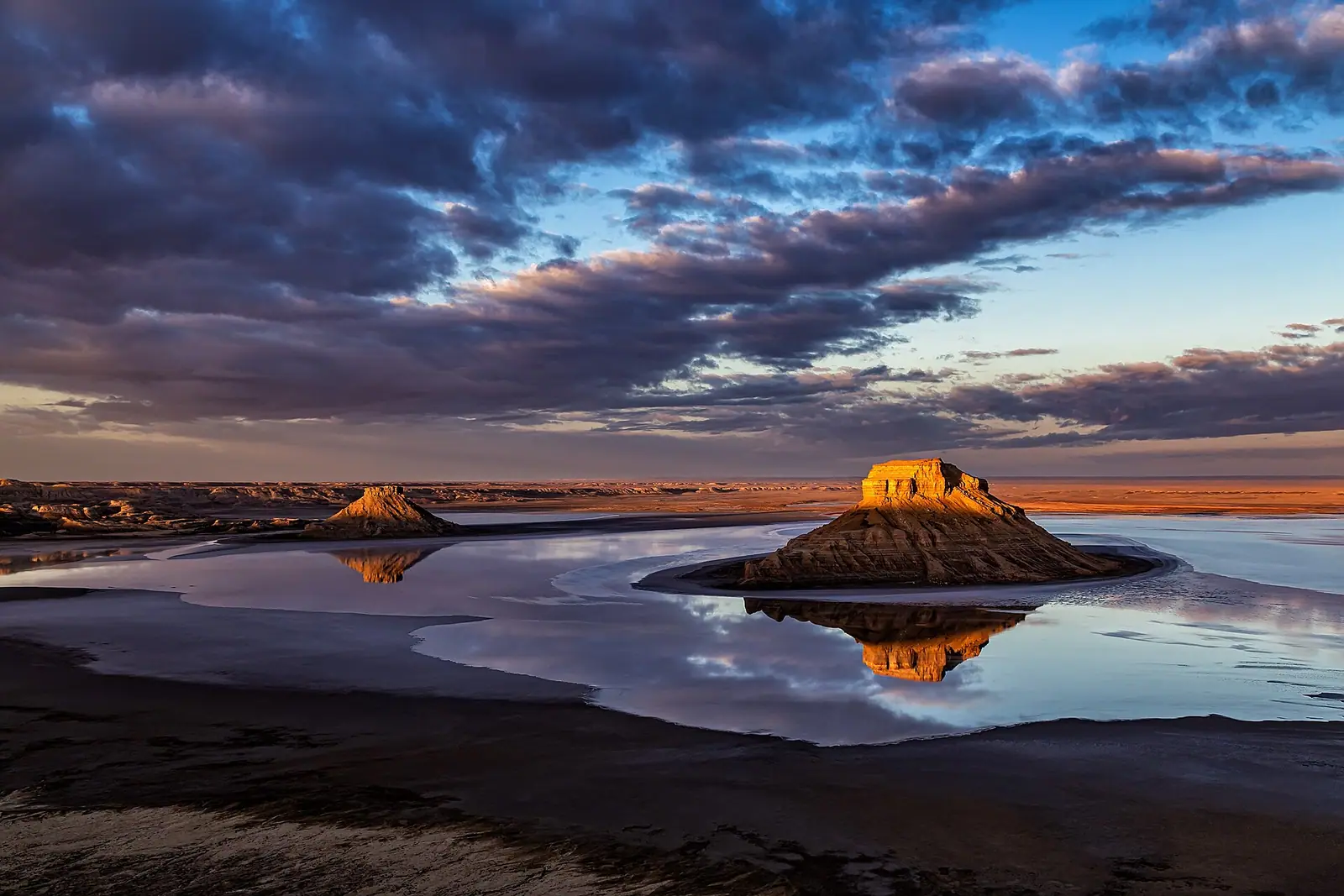
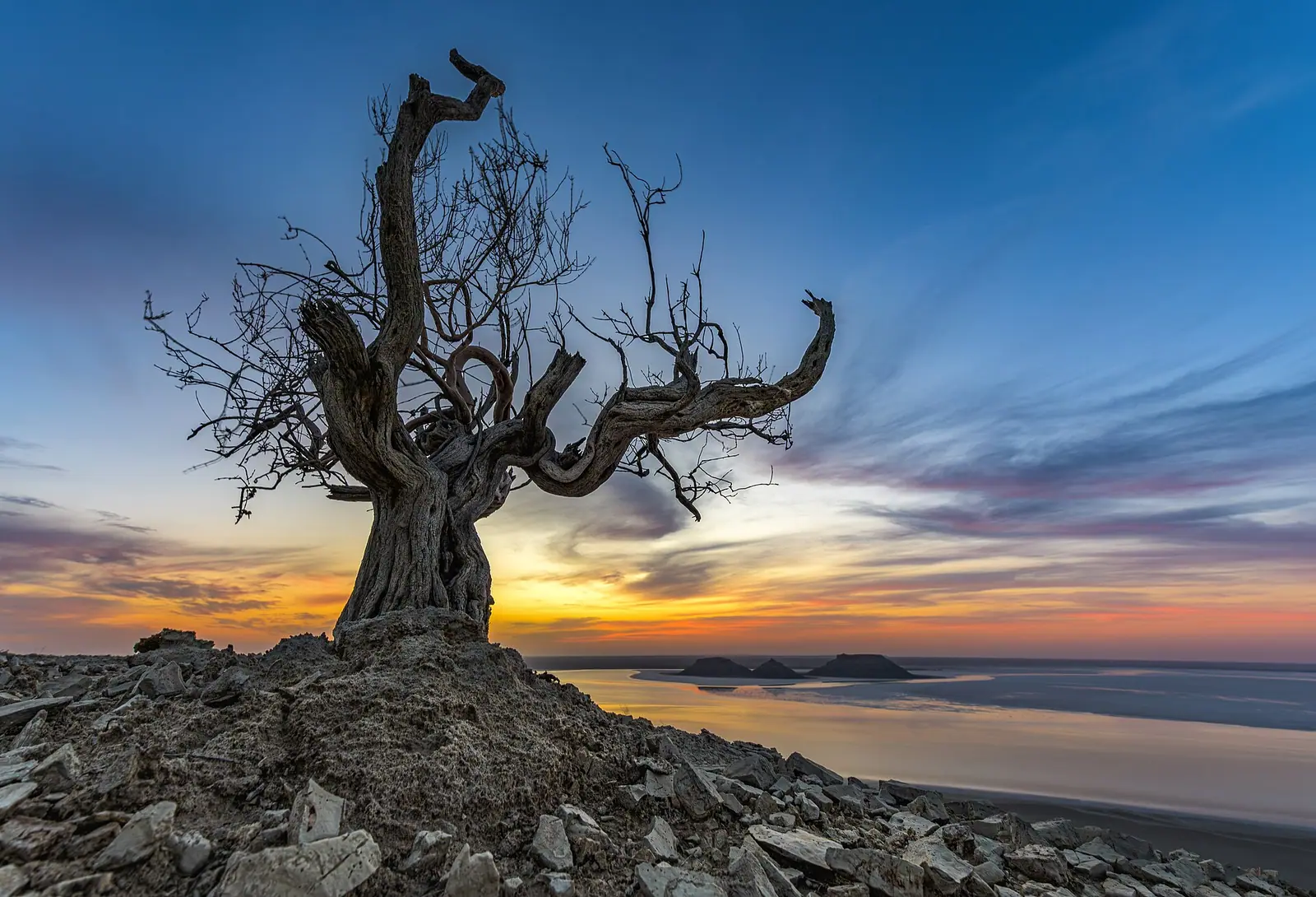
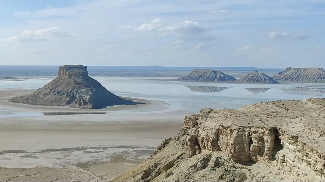
Real photos by travellers (Pexels, Unsplash, Wikimedia Commons); author and licence are given in each caption.
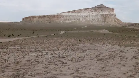
The Karynzharyk Sands are a desert depression in Kazakhstan’s far west, lying between the Mangyshlak peninsula and the Ustyurt plateau in the Karakiya district of Mangystau region. Expect low sand hills, salt lakes and salt flats over roughly 2,000 km², not towering dunes. It sits about 275 km in a straight line from Aktau, the regional city on the Caspian, and suits travellers already planning a self-sufficient Mangystau desert trip.
What Karynzharyk actually is: low sands, salt and pasture
Karynzharyk is a depression, not a dune sea. By Wikipedia, its sand hills formed from the breakdown of the underlying bedrock and reach 5–15 m in height. In places the ground has turned into salt lakes, salt flats and bare clay pans, and the whole area is used as grazing land for livestock.
The landscape changes from west to east. The western side is raised, up to 200 m where it meets the Mangystau plateau, and carries shrubs such as white saxaul, boyalych and wormwood. The east is a flat alluvial plain of sandy loam with wormwood and saltwort. To the north the hollow gives way to the Karabaur upland.
If you come for tall, photogenic dunes, this is the wrong place. If you want an empty desert basin and the contrast of salt crust against sand, it fits.
Karynzharyk in figures
The Russian and Kazakh Wikipedia articles agree on most numbers and differ slightly on rainfall. The table gives the scale you are dealing with: a strip well over 100 km long, which you cannot cover in a casual afternoon.
| Feature | Figure |
|---|---|
| Location | Between Mangyshlak peninsula and Ustyurt, Karakiya district, Mangystau region |
| Length (north to south-west) | 130–160 km |
| Width | 24–40 km |
| Area | about 2,000 km² |
| Height of sand hills | 5–15 m |
| Western edge | up to 200 m (Mangystau plateau) |
| Lowest ground (Kendirli sor) | 52 m below sea level |
| Annual precipitation | 120–155 mm (Russian Wikipedia), 120–150 mm (Kazakh Wikipedia) |
| Groundwater | mineralised, at 3–7 m depth |
| Land use | livestock pasture |
Below sea level: the Kendirli salt flat
The eastern edge of Karynzharyk drops beneath sea level. The Kazakh Wikipedia article places the Kendirli sor (salt flat) and the Karynzharyk hollow along the east, at 52 m below sea level. The climate grid point used on this page sits at -68 m, which suggests low ground there too.
For a visitor this matters in two ways. Summer is very hot, as the figures below show. And a sor is a salt crust over wet ground: the groundwater here sits only 3–7 m down and is mineralised, so it is not drinking water.
When to go: April and October are the comfortable windows
The figures below are computed normals from the ERA5 reanalysis for 2011–2020 at a grid point 68 m below sea level, not readings from a weather station.
Day high, °C / Night low, °C · Rain/snow, mm
A computed reanalysis normal for these coordinates, not weather station records.
Monthly figures
| Month | Day high, °C | Night low, °C | Rain/snow, mm |
|---|---|---|---|
| Jan | 2.9 | -4.1 | 14 |
| Feb | 4.8 | -4.4 | 9 |
| Mar | 13.6 | 2.4 | 24.6 |
| Apr | 21.6 | 9.3 | 27.7 |
| May | 30.3 | 17.4 | 16.2 |
| Jun | 35.8 | 22.4 | 3.9 |
| Jul | 38.4 | 25.5 | 3.5 |
| Aug | 36.1 | 22.5 | 1.8 |
| Sep | 29.2 | 15.3 | 2.5 |
| Oct | 19.6 | 6.7 | 7 |
| Nov | 8.9 | -0.7 | 14.4 |
| Dec | 3.4 | -3.8 | 13 |
Summer is the problem. Average daily highs are 35.5°C in June and August and 38°C in July, with nights that stay around 23–26°C, so there is little relief after dark. Wikipedia gives a July mean of 27°C (a daily mean, not a daily high), so it is not directly comparable with the reanalysis highs; plan for the hotter figures.
Winter is cold but not extreme for Kazakhstan: January highs average 3.6°C with lows near -4°C. April (highs around 22°C) and October (around 20°C) are the most pleasant months, with May and September usable if you start early and stop in the heat of the day. It hardly ever rains in summer: June to September each get under 5 mm.
| Period | Typical day / night | What it means for you |
|---|---|---|
| Dec–Feb | 4–5°C / -4°C | Cold, short days, little reason to go |
| Mar | 14°C / 2°C | Possible, chilly nights |
| Apr | 21°C / 9°C | Comfortable for walking |
| May | 30°C / 18°C | Warm, start at dawn |
| Jun–Aug | 35–38°C / 23–26°C | Dangerous heat in a remote basin |
| Sep | 28.5°C / 16°C | Warm, workable |
| Oct | 19°C / 8°C | Comfortable |
| Nov | 9°C / 0°C | Cool, near freezing at night |
Getting there: what we could not confirm
Karynzharyk lies about 275 km in a straight line from Aktau, the regional city, and about 504 km from Atyrau. Road distance will be longer. We could not confirm any road, track, public transport, fuel stop, water source or visitor facility in or near the depression.
In practice that means this is a trip for travellers with their own off-road vehicle, a driver who knows the area and full supplies. Without a car and without Russian or Kazakh, there is no information here that would let you reach it independently. Ask locally in Aktau before committing.
Combining Karynzharyk with the rest of Mangystau
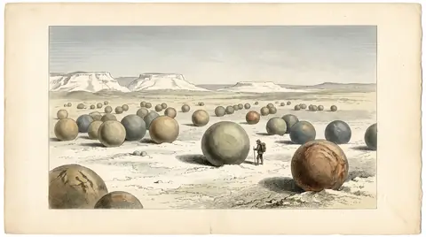
Other Mangystau sights lie a long way from Karynzharyk. The Bozzhyra and Mangystau nature guide area lies about 222 km in a straight line away, Sherkala mountain about 245 km, and the Torysh valley of stone balls about 280 km.
These distances are long enough that Karynzharyk is a separate expedition, not a detour. Decide first whether low sand hills and salt flats are what you want from the region.
- Whether any road or track reaches Karynzharyk, and its condition
- Fuel, water and mobile coverage along the way
- Whether any permit or local permission is needed to enter the area
- Whether drivers or guides in Aktau run trips to the depression
Karynzharyk Sands: tips before you go
- Avoid June to August: average highs of 35.5–38°C and warm nights near 23–26°C leave little chance to cool down.
- Carry all drinking water: the groundwater lies 3–7 m down and is mineralised.
- Keep off wet salt flats; a sor is a salt crust over damp ground, and the eastern basin is full of them.
- Treat this as a separate expedition: Sherkala and Torysh are each roughly 245–280 km away in a straight line.
More to see nearby


Frequently asked questions
Where are the Karynzharyk Sands?
Are there big dunes at Karynzharyk?
Is Karynzharyk below sea level?
How hot does Karynzharyk get in summer?
Sources
Read also
 Almaty Zoo in Kazakhstan: opening hours and how to visit
 Ayusai Gorge, Almaty: visitor centre and waterfall trail
 Gorelnik Gorge above Medeu: waterfalls, trail and season
 Kamenskoe Plateau above Almaty: observatory and trails
 Pervomaiskie Ponds near Almaty: location, swimming, season
 Saty village: base for the Kolsai and Kaindy lakes