Karatau Reserve: when to go, month by month
- January: off season
- February: off season
- March: possible
- April: good
- May: best time
- June: good
- July: possible
- August: possible
- September: best time
- October: good
- November: possible
- December: off season
May and September bring mild 20 °C days and little rain, summer is hot and dry, and winter is below freezing with snow.
Karatau Reserve: why go
Karatau's endemic flora
An estimated 600–700 plant species grow in the reserve, with 62 or 76 endemics depending on the source, including Greig's tulip and Karatau wormwood.
Argali on the Karatau ridge
The reserve was created in 2004 chiefly to protect the Karatau argali, one of three Red Book mammals here with the crested porcupine and stone marten.
Via Turkistan and Kentau
Turkistan has the railway station; a highway leads to Kentau, the reserve headquarters, and the nearest boundary lies 17 km beyond that town.
Dry Karatau summers
At the 1,162 m grid point July reaches about 28 °C with 8 mm of rain, and September is driest at about 6 mm, with mild 20 °C days.
Berikkara poplar
A rare relict poplar grows only in the Berikkara section of the reserve and is listed in the IUCN Red List, according to Kazakh Wikipedia.
Karatau Reserve in photos
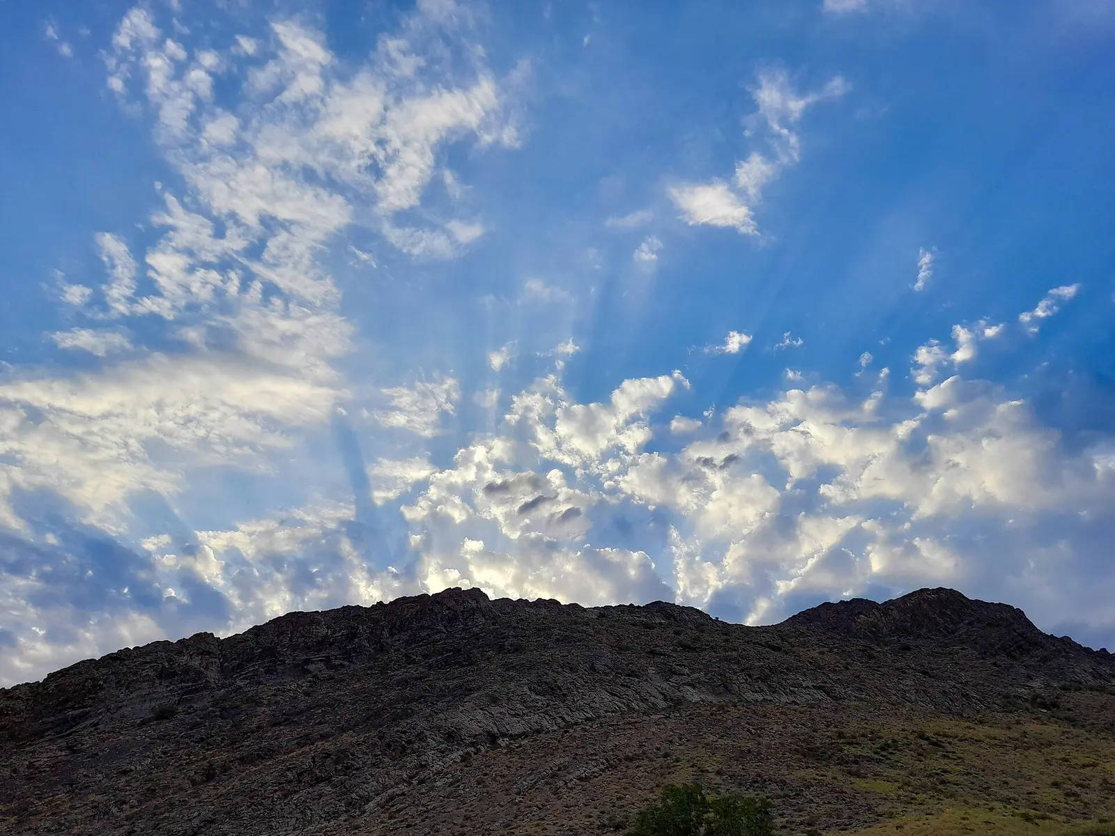
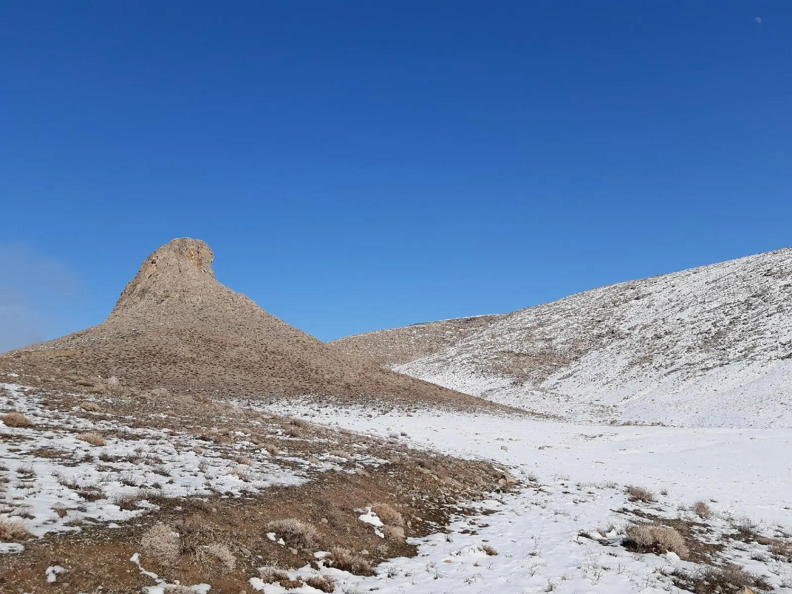
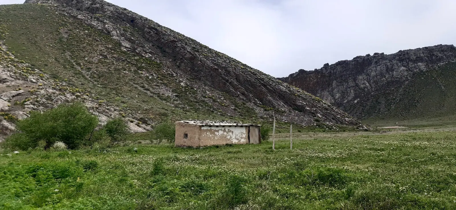
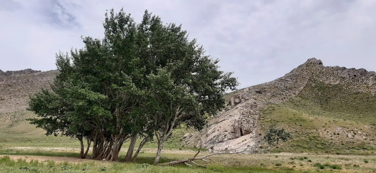
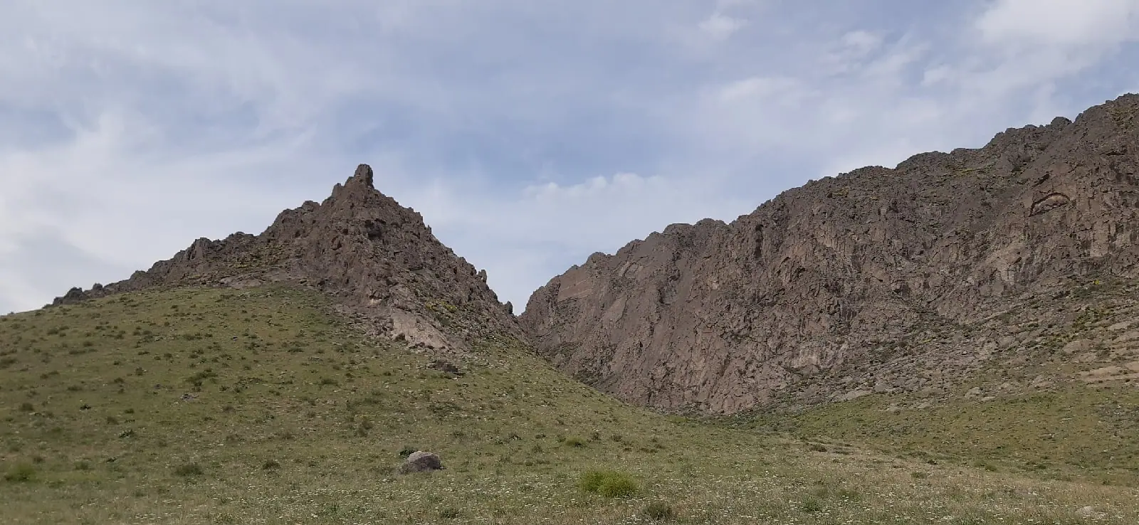
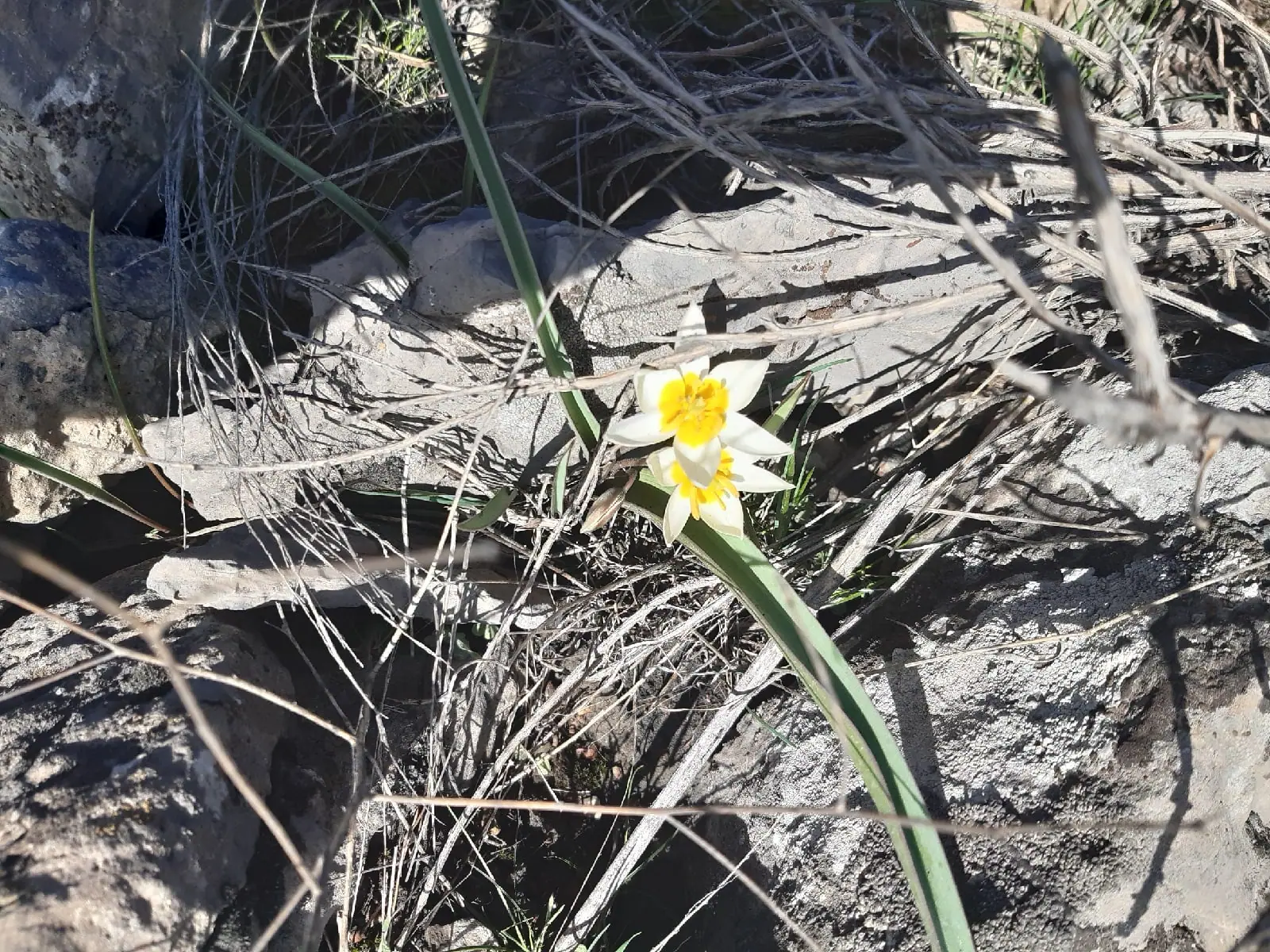
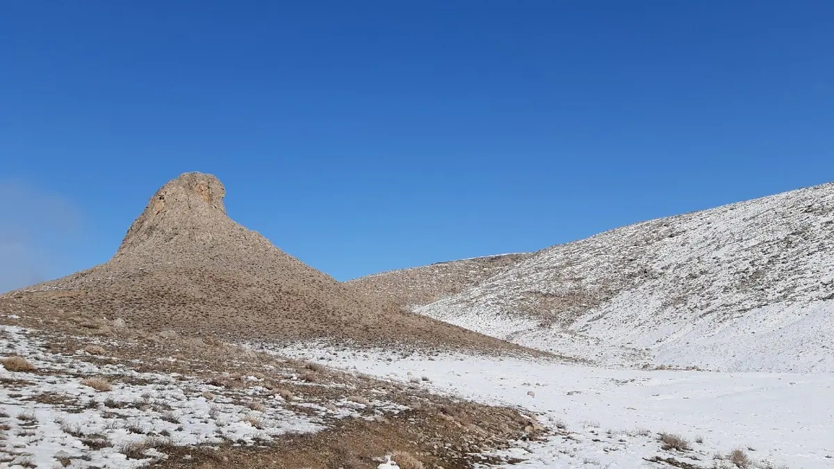
Real photos by travellers (Pexels, Unsplash, Wikimedia Commons); author and licence are given in each caption.
Karatau Reserve is a protected area in the central part of the Karatau ridge in Turkistan Region, in the far south of Kazakhstan. It was created in 2004 to study and protect the Karatau argali and the ridge’s flora and fauna. It is managed from the town of Kentau, about 40 km from Turkistan, and suits travellers with a strong interest in plants or birds rather than casual sightseers.
Where Karatau Reserve is and what it protects
The reserve sits in the middle of the Karatau ridge, a north-western spur of the Tian Shan, bordered by the Moiynkum, Kyzylkum and Betpak-Dala deserts. Its headquarters are in Kentau, and the nearest edge of the reserve lies 17 km from there. Turkistan, with its railway station, is about 61 km away in a straight line; Shymkent is about 168 km and Taraz about 232 km, also in a straight line.
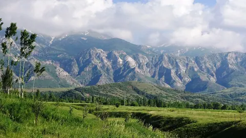
The ridge is lopsided: the south-western slope is broad and fairly gentle, while the north-eastern and northern slopes are steep. Rivers such as the Bayaldyr, Biresik, Khantagi and Taldybulak cut deep valleys, but none reaches the Syr Darya; they lose their flow at the foot of the slopes.
| Key data | Figure |
|---|---|
| Founded | 1 March 2004 (government decree No. 249) |
| Area | 34,300 ha |
| Buffer zone | 17,490 ha |
| Length north–south | 28.3 km |
| Width east–west | 23.6 km |
| Highest point | Mynzhilki, upper Bessaz, 2,176 m |
| Headquarters | Kentau |
The numbers describe a compact reserve: under 30 km across, so the landscape is a set of valleys and slopes rather than a vast wilderness. Russian Wikipedia calls it the youngest reserve in Kazakhstan.
The name Karatau also belongs to a town, which is what many weather searches refer to. This page covers only the reserve on the central ridge managed from Kentau.
Why botanists care: endemic plants
The main draw of Karatau is its plants. The whole Syr Darya Karatau ridge holds more than 1,600 species of vascular plants and, according to Russian Wikipedia, ranks first in Kazakhstan for endemic species. Within the reserve itself an estimated 600–700 species grow.
The sources disagree on how many of those are endemic:
| Source | Endemic species |
|---|---|
| Russian Wikipedia | 76 (65 recorded in the last decade) |
| English and Kazakh Wikipedia | 62 |
Russian Wikipedia adds that many endemics were not found again at the sites where researchers first collected them. The Kazakh article lists Karatau wormwood as dominant on the slopes and names endemics including Greig’s tulip. It also mentions the Berikkara poplar, a rare relict endemic growing only in the Berikkara section and listed in the IUCN Red List. Riverside thickets hold Turkestan hawthorn, mulberry, Sievers apple and Semenov maple.
Wildlife: argali, porcupines and raptors
The reserve was created mainly for the Karatau argali, one of three mammals here in Kazakhstan’s Red Book, alongside the Indian crested porcupine and the stone (beech) marten. Over the last century the Tian Shan brown bear and the snow leopard were wiped out on the ridge, and wild boar, roe deer, argali and tolai hare became extremely rare.
Birders have more to work with. The reserve records 118 bird species, 12 of them in Kazakhstan’s 1996 Red Book:
- white stork and black stork
- short-toed eagle, booted eagle, steppe eagle, golden eagle
- bearded vulture and Egyptian vulture
- saker falcon, demoiselle crane, houbara bustard, eagle owl
More than 152 insect species are known, including two endemic to Karatau and Central Asia. Rare does not mean easy to see, and we could not confirm any trails or viewing points.
History in the rocks
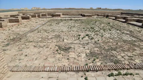
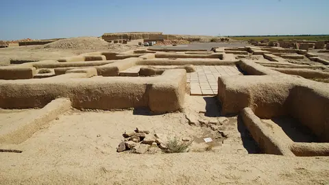
The Kazakh article notes that the area was settled early: Stone, Bronze and Iron Age sites, including rock carvings and camps, survive here. It also names natural rock formations, such as Tuyetas and Khantagy, as well as Kempirtas. The limestone dates partly to the Devonian, with abundant Carboniferous sedimentary rock.
An ethnography museum with models of the ridge’s mammals was set up on reserve territory. We could not confirm its location, opening hours or whether it is open to walk-in visitors. If history is your main interest, the medieval sites around Turkistan and Sauran, as well as Otrar, are easier to plan.
When to go to Karatau
Late spring and early autumn look most comfortable in the computed climate data: May and September have mild days, and September is the driest month.
Day high, °C / Night low, °C · Rain/snow, mm
A computed reanalysis normal for these coordinates, not weather station records.
Monthly figures
| Month | Day high, °C | Night low, °C | Rain/snow, mm |
|---|---|---|---|
| Jan | -4.1 | -10 | 34.5 |
| Feb | -2.9 | -9.7 | 32.7 |
| Mar | 6 | -2.6 | 51.9 |
| Apr | 14.2 | 4.2 | 53.4 |
| May | 21.1 | 9.4 | 41.3 |
| Jun | 26.1 | 14 | 25 |
| Jul | 28.5 | 15.8 | 8.4 |
| Aug | 26.7 | 14.1 | 11.5 |
| Sep | 20.6 | 8.2 | 6.1 |
| Oct | 12.4 | 1.6 | 25.1 |
| Nov | 2.4 | -5.9 | 45 |
| Dec | -3.2 | -9.8 | 47.9 |
These are computed ERA5 normals for 2011–2020 at a grid point at 1,162 m, not readings from a weather station. The ridge rises to 2,176 m, so the upper slopes will be cooler and wetter than shown; the Kazakh article puts annual precipitation at about 400 mm, up to 500–700 mm high up.
| Period | Days / nights (grid point) | Rain | What it means |
|---|---|---|---|
| Dec–Feb | about -3 to -2 °C / -9 °C | 47–61 mm a month | Snow cover of 20–30 cm per Kazakh Wikipedia; not a trip season |
| Mar–Apr | 6–14 °C / -3 to 4 °C | about 58 mm a month | Wettest stretch outside winter; cold nights |
| May | 20 °C / 10 °C | 43 mm | Comfortable, greener slopes |
| Jun–Aug | 25–28 °C / 15–17 °C | 8–25 mm | Dry and hot; foothills below the grid point likely hotter |
| Sep | 20 °C / 10 °C | 6 mm | Driest month, mild |
| Oct–Nov | 12 °C falling to 3 °C | 33–56 mm | Turning wet and cold |
July and August are dry, with only 8–9 mm of rain a month, so carry enough water for any walk in the low hills.
Getting there and what stands in the way
The practical route runs through Turkistan: it has a railway station, and a highway links it to Kentau, where the reserve headquarters are. From Kentau the reserve boundary is 17 km away. That is as far as the facts go.
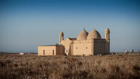
We could not confirm whether independent visitors may enter. Treat this as a trip that needs arranging with the reserve administration in Kentau in advance. Pair it with the mausoleums of Turkistan and Arystan Bab so the journey south is worthwhile even if reserve access falls through.
- Whether independent visitors may enter the reserve, and whether a permit or fee is required
- Transport from Kentau to the reserve boundary without a private car
- Location and opening hours of the ethnography museum
- Marked trails, guides or viewing points for argali and birds
- Road conditions inside the reserve
Karatau Reserve: tips before you go
- Contact the reserve administration in Kentau before travelling: we could not confirm entry or permit rules.
- Plan around Turkistan, the nearest railway station, about 61 km in a straight line from the reserve.
- Aim for May or September: days near 20 °C at 1,162 m and little rain, unlike wet, cold November to March.
- In July and August rain falls to 8–9 mm a month and highs near 28 °C, so carry ample water on any walk.
More to see nearby


Frequently asked questions
How far is Karatau Reserve from Turkistan?
How high are the Karatau mountains in the reserve?
What animals live in Karatau Reserve?
What is the weather like in the Karatau mountains?
Sources
Read also
 Sayram-Ugam
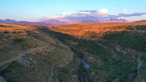 Aksu-Zhabagly
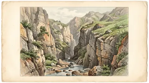 Mashat Canyon: a river gorge in the hills east of Shymkent
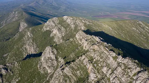 Kazygurt Mountain, the limestone ridge south of Shymkent tied to Noah's Ark
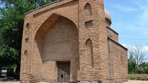 Sairam: the ancient Silk Road town of Isfijab on the edge of Shymkent
 Things to do in Shymkent and how to use it as a base in southern Kazakhstan