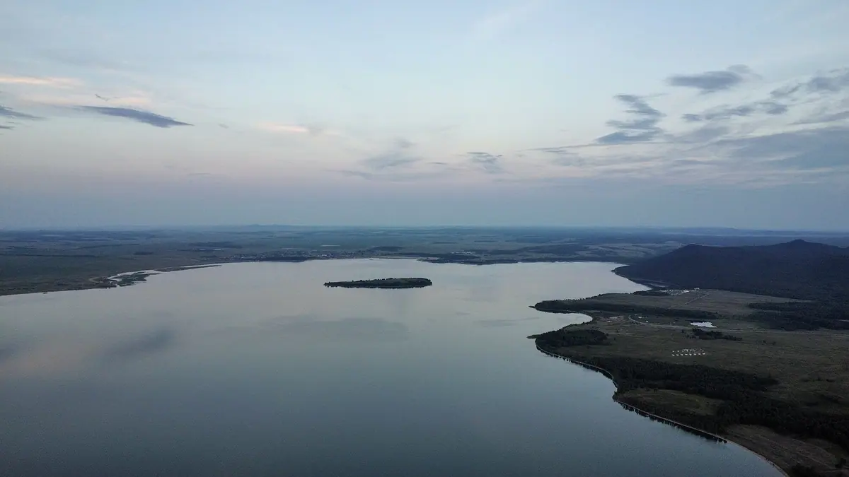
Lake Imantau: when to go, month by month
- January: off season
- February: off season
- March: off season
- April: off season
- May: possible
- June: good
- July: best time
- August: best time
- September: good
- October: possible
- November: off season
- December: off season
From June to September the water reaches 20–25 °C.
Lake Imantau: why go
Imantau's fresh water
Mineralisation is 0.78–0.84 g/l and depth passes 10 m. From June to September the water warms to 20–25 °C.
Imantau mountain at the water
The southwest shore is high and steep, with the mountain right against the lake: wide views, though awkward for getting into the water.
Tasaral, or Snake Island
A rocky island of about 16 ha, reached only by boat. It is on the official list of sites with a heightened risk to life.
Tents and cabins at Imantau
Campers favour the villages of Imantau and Arykbalyk. Recreation areas offer cabins and yurts, but check that they are open first.
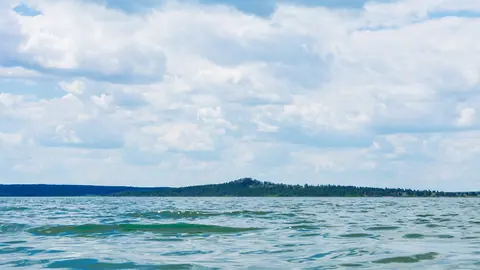
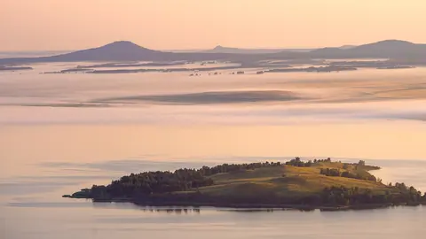
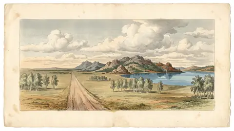
Lake Imantau in photos
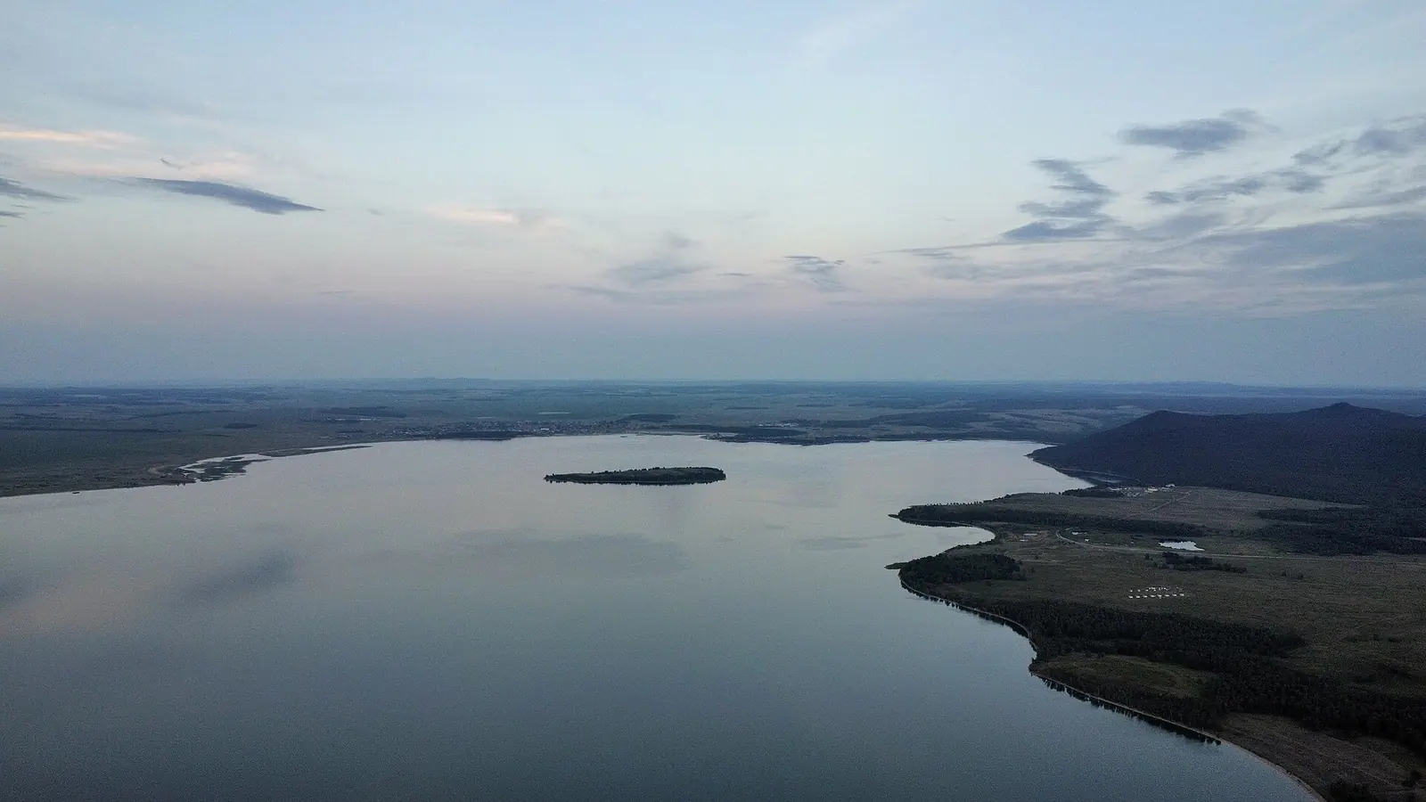
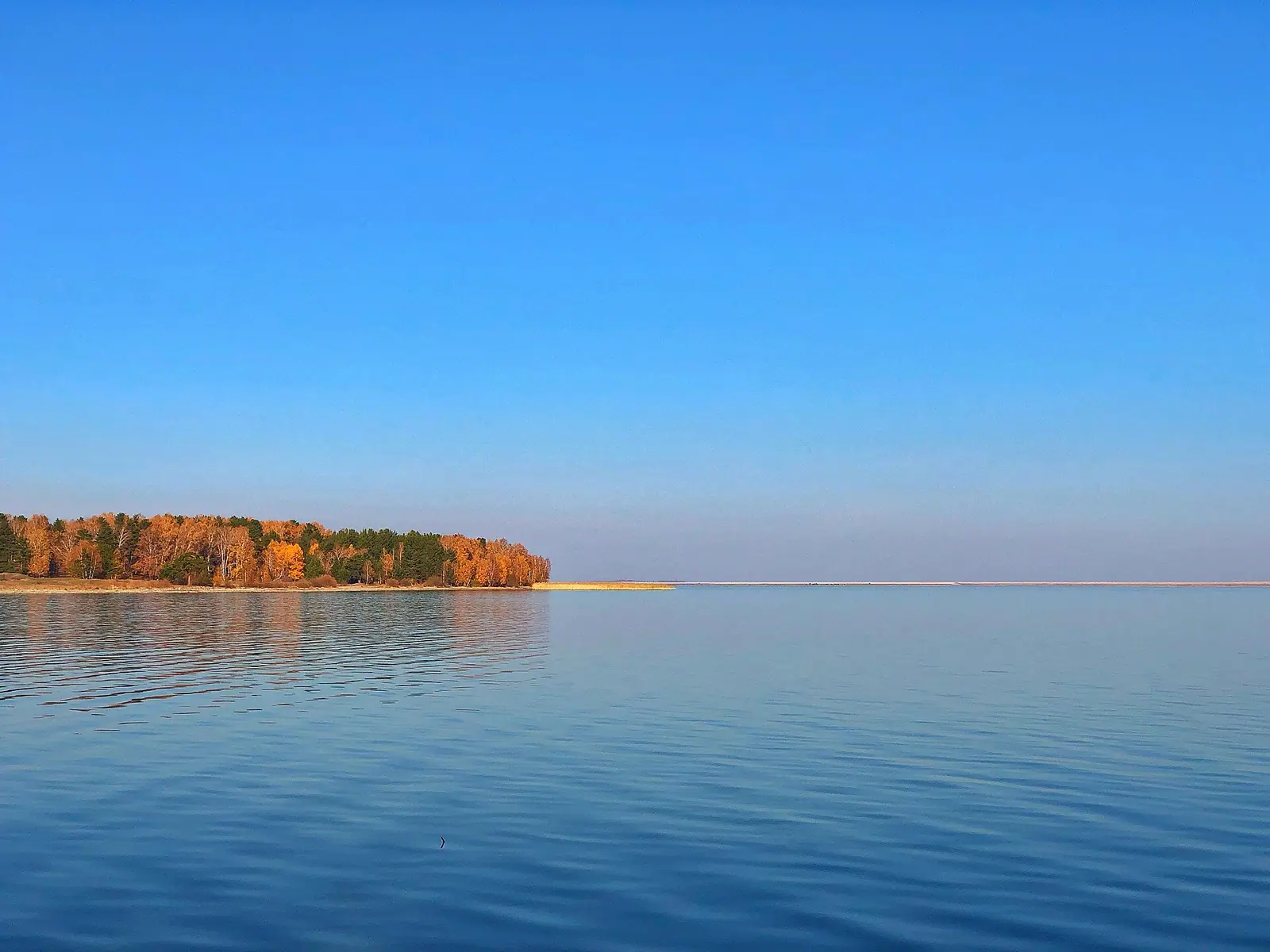
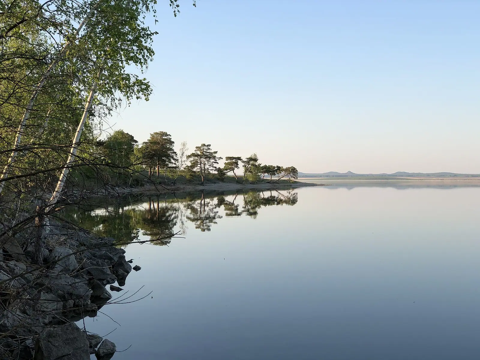
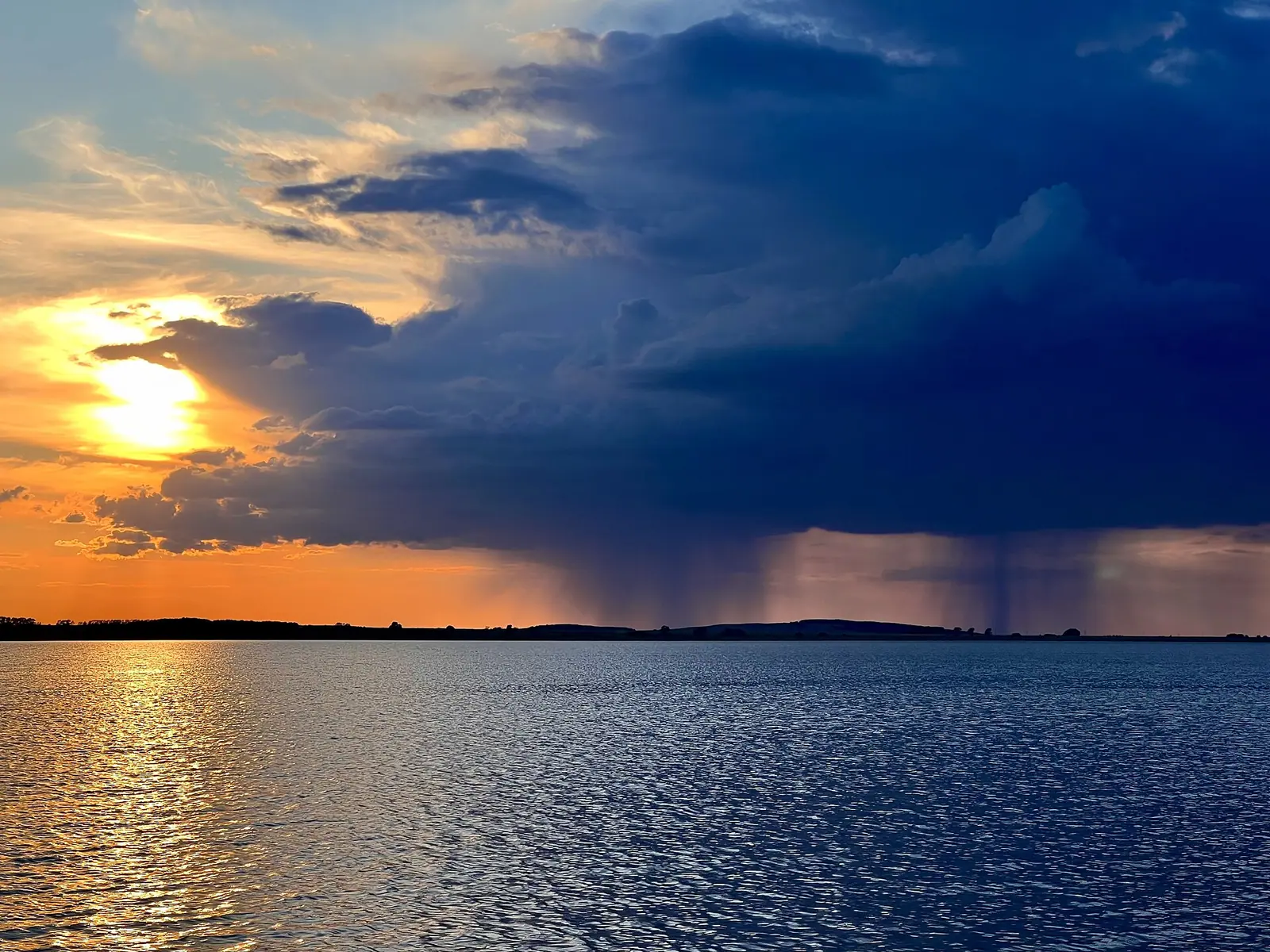
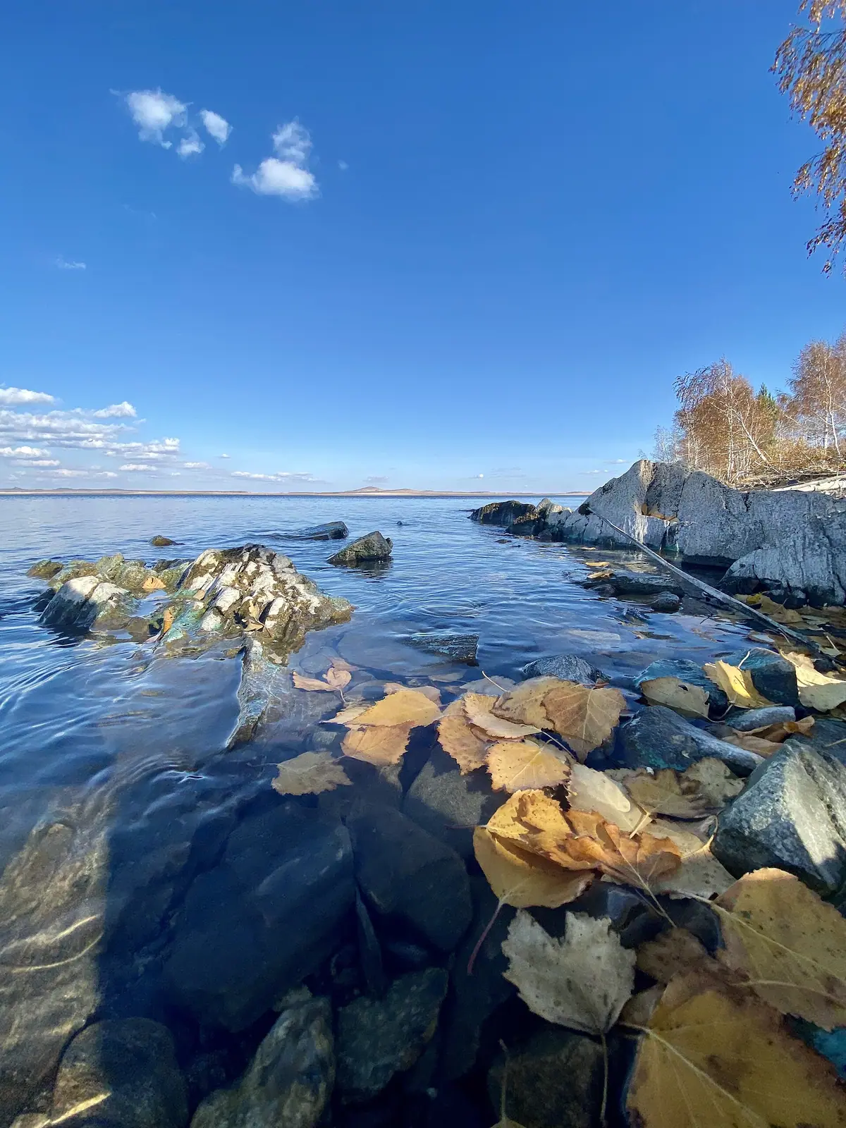
Real photos by travellers (Pexels, Unsplash, Wikimedia Commons); author and licence are given in each caption.
Lake Imantau is a freshwater lake in Aiyrtau District, North Kazakhstan Region, 13.1 km long and just over 10 m deep at its deepest. It is a summer trip: the water reaches 20–25 °C from June to September (Tengrinews, 2020). Kokshetau is about 90 minutes away by car, and the tarmac stops at Imantau village, so plan food and fuel around that.
The numbers that decide your trip
| Fact | Value |
|---|---|
| Length and width | 13.1 km by 4.8 km |
| Mean and maximum depth | 5.7 m, over 10 m |
| Water | fresh, 0.78–0.84 g/l |
| Summer water temperature | 20–25 °C |
| Island | about 16 ha |
| Kokshetau by car | about 1.5 hours |
We could not find a reliable figure for the lake’s surface area.
Pick your shore before you drive
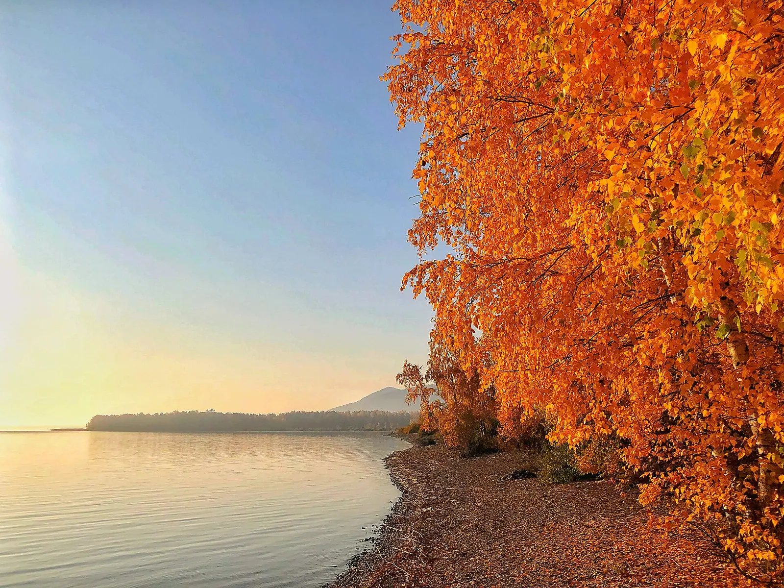
The southwest shore is high and steep, with Imantau mountain right against the water: good views, awkward swimming. The south shore is described as sandy, and Imantau village sits in the southeast at the end of the tarmac. Reeds and bulrushes line parts of the rest, so check satellite maps for a clean way into the water.
People camp in the forest, most often near the villages of Imantau and Arykbalyk. Lakeside recreation areas with cabins, yurts and boat hire were running in 2020; we could not confirm which operate now or what they charge. July is the crunch: searches for Imantau peak at 16.8 times their low point, as our summer demand study shows.
Snake Island needs a boat and a warning
The rocky island in the south of the lake is Tasaral (“stone island”), also called Snake Island for its snakes and Cossack Island after settlers of the 19th century. Tengrinews puts it about 4 km from the shore.
Snake Island is named on the official list of sites with a heightened risk to life (order V2500036696). Tengrinews calls the weather here changeable, so tell someone your plan: the safety page explains how notification works.
Getting there from Kokshetau
- Fuel up in Kokshetau or Zerenda.
- Save offline maps, because coverage near Imantau is patchy.
- Drive to Imantau village; beyond it there is no tarmac.
Lake Zerenda is on the way, and Lake Shalkar is about 15 km to the northeast. For the wider area, see Kokshetau National Park.
Lake Imantau: tips before you go
- Fuel up in Kokshetau or Zerenda and save offline maps: coverage near the lake is patchy.
- The tarmac ends at Imantau village.
- Tell the civil protection service your plan before taking a boat to the island.
More to see nearby


Frequently asked questions
How do I get to Lake Imantau without a car?
Is Lake Imantau good for swimming?
Can I visit the island on Lake Imantau?
Is Imantau the same as Lake Shalkar?
Sources
Read also
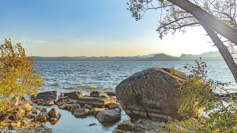 Lake Shchuchye, the deepest of the Kokshetau lakes, and what a trip there involves
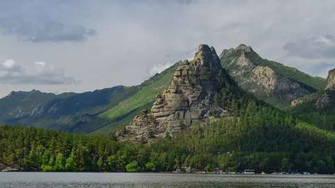 Okzhetpes rock and Zhumbaktas: what we know before you plan a visit
- What to see in Akmola Region: lakes, steppe hills and a Gulag memorial
 Weekend trips from Astana: 5 places in nature
- Where to go from Kokshetau: four lakes nearby, and the capital further out
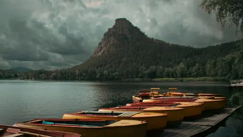 Burabay