The Ili River: when to go, month by month
- January: off season
- February: off season
- March: off season
- April: possible
- May: best time
- June: good
- July: good
- August: good
- September: best time
- October: possible
- November: off season
- December: off season
The river is ice-bound from late November to early April; June and September combine open water with warm but not extreme days.
The Ili River: why go
Rafting the Ili to Lake Balkhash
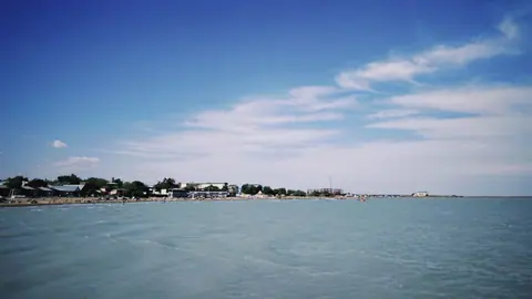
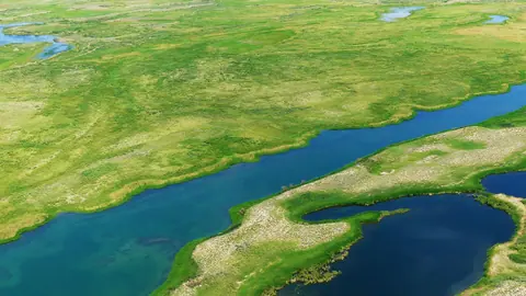
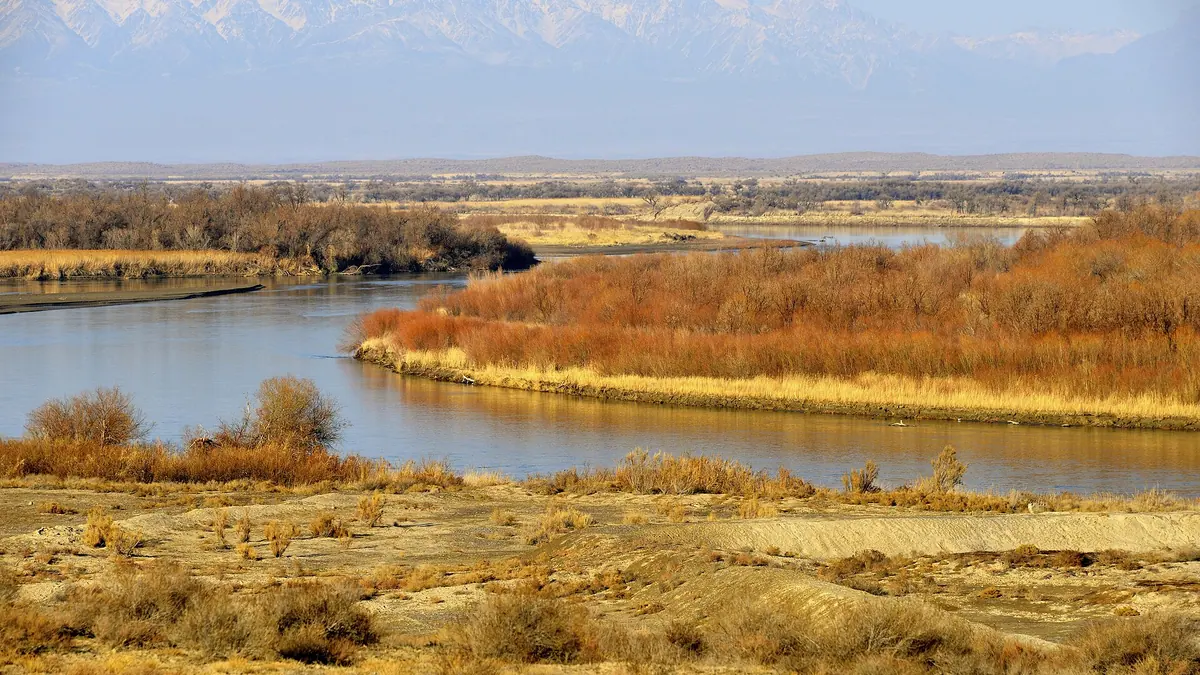
Raft trips down the braided lower Ili to Balkhash are the river's main draw. The river splits into reed-lined channels with small islands.
The Ili delta wetlands
A Ramsar site of 9,766 km² with 427 plant and 345 animal species, including Dalmatian pelicans and white-headed ducks. Caspian tigers lived here until 1948.
One bridge from Konaev to Balkhash
Between Konaev and the lake only one road bridge crosses the Ili, about 40 km northwest of Bakanas. Plan your put-in and pick-up with that in mind.
Hot, dry Ili summers
July averages 30.5 °C by day and only 6 mm of rain. September is cooler at about 22 °C and still very dry, which makes it a calmer month on the water.
An 11th-century river name
Mahmud al-Kashgari described the Ili in his Turkic dictionary of 1072–74. He wrote that Turkic lands regarded it as their Amu Darya.
The Ili River in photos
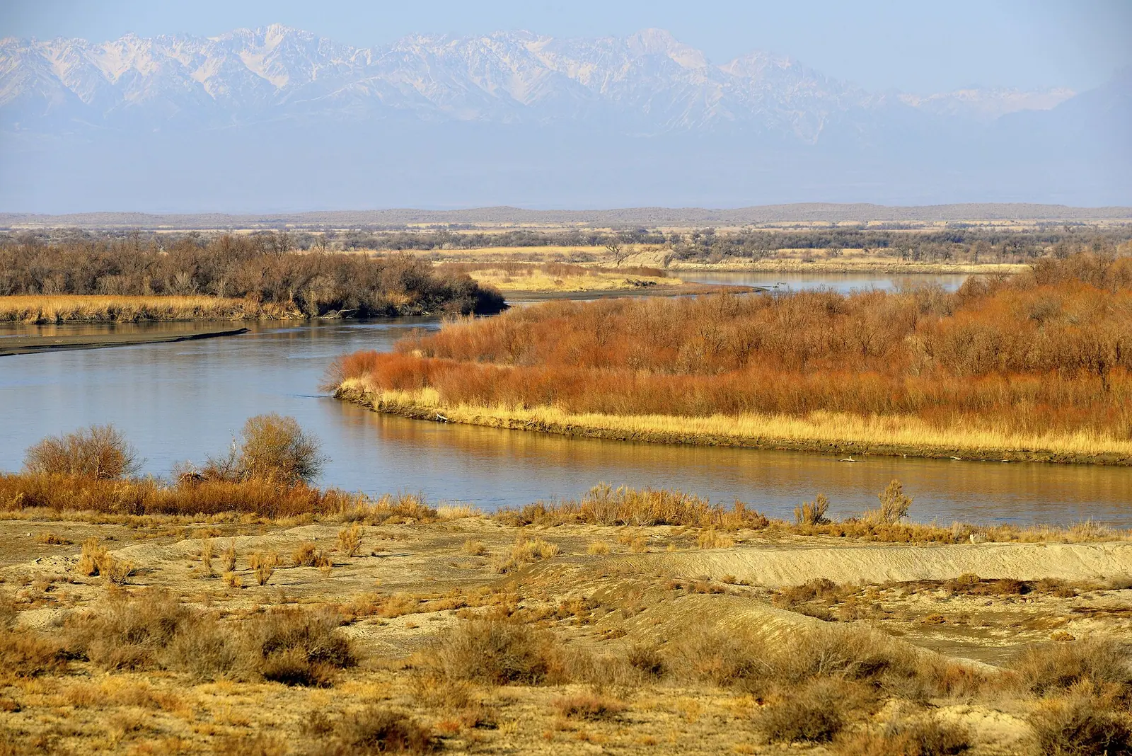
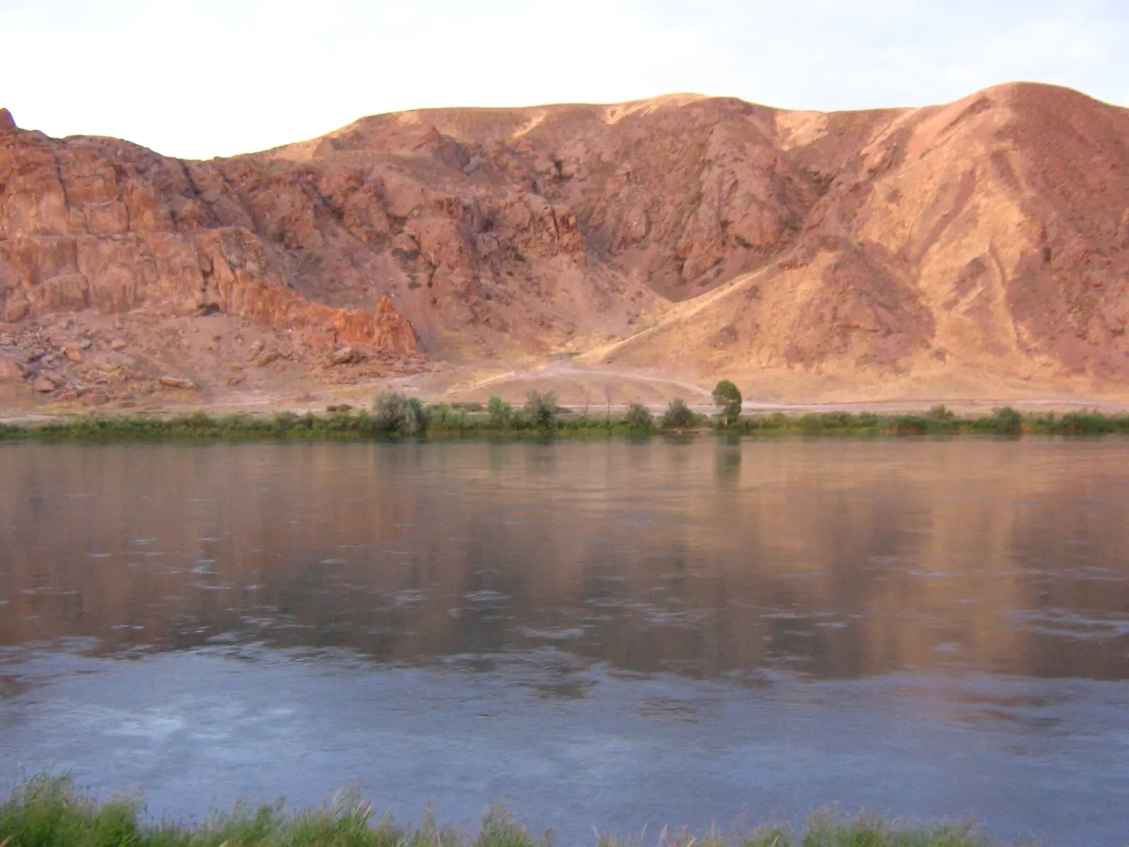
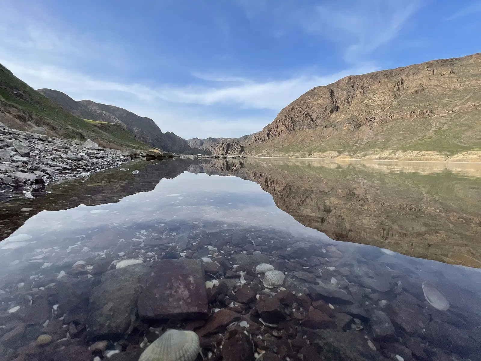
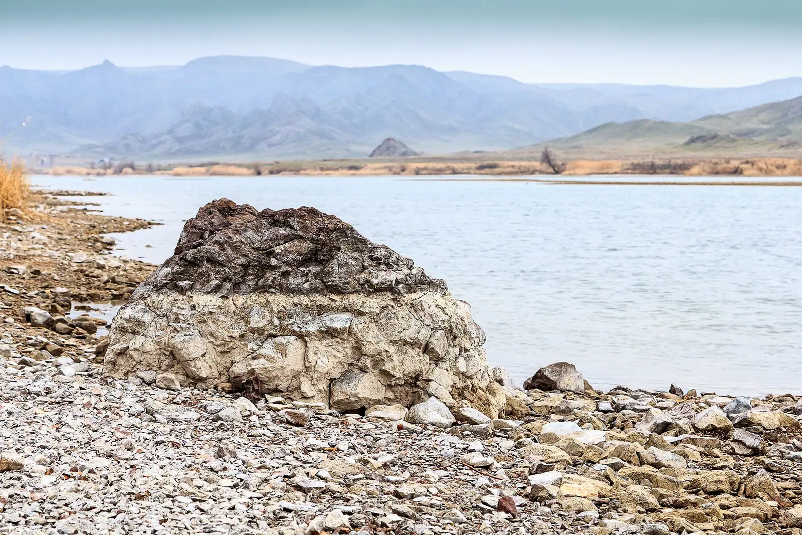
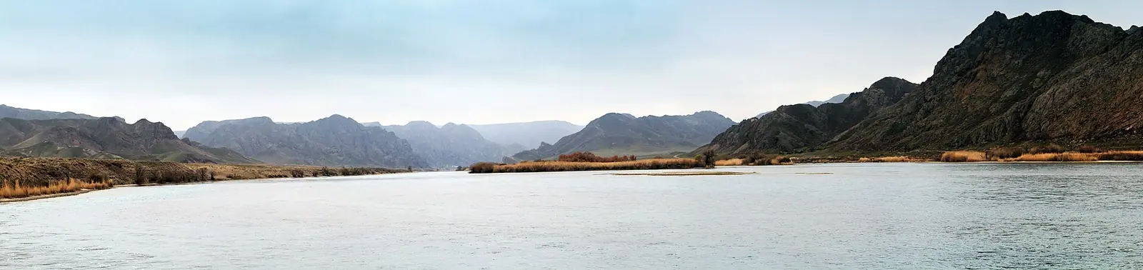
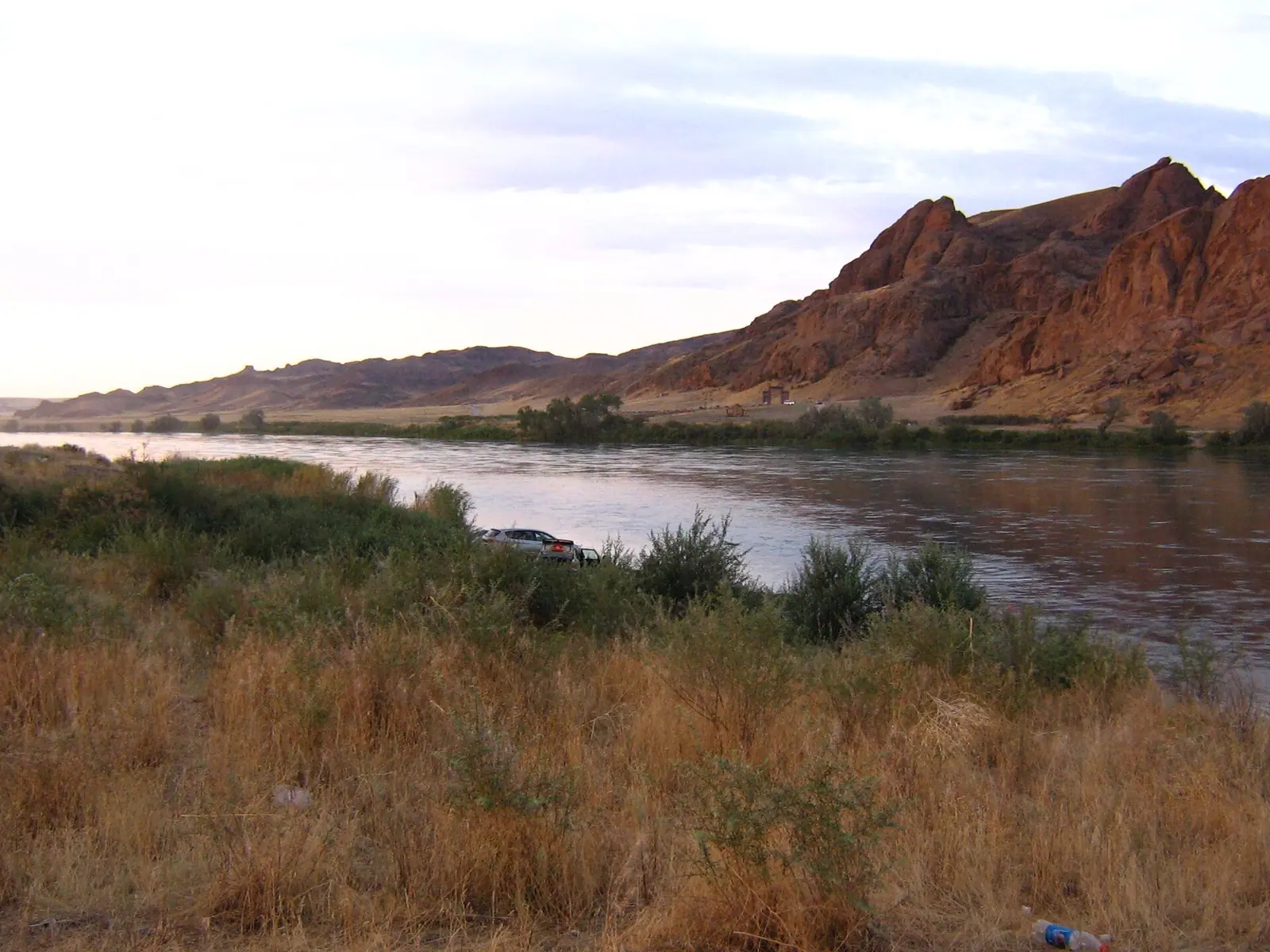
Real photos by travellers (Pexels, Unsplash, Wikimedia Commons); author and licence are given in each caption.
The Ili River is the main river of southeastern Kazakhstan. It rises in the Tian Shan in China, crosses Almaty Region and ends in a large wetland delta on Lake Balkhash. It is known among adventure travellers for raft trips down to the lake. The river is long, remote in its lower reaches and frozen for about four months a year.
Where the Ili flows and what kind of trip it is
The Ili is a long lowland river north of Almaty. It is not a half-day outing. It is 1,439 km long including its source river, the Tekes, and 815 km of that lies in Kazakhstan. The river starts in China where the Tekes and Künes meet, at 794 m above sea level. It enters Kazakhstan, is dammed at Kapchagay and then wanders across desert plain to Lake Balkhash, ending at 341 m.
The point this page describes lies in the lower reaches, about 324 km in a straight line from Almaty and about 289 km from Konaev. Below Konaev the country opens out between the Saryesik-Atyrau and Taukum deserts. By Wikipedia, only one road bridge crosses the river between Konaev and Lake Balkhash, about 40 km northwest of the village of Bakanas. A river trip here means long distances between crossings and settlements.
| Key figure | Value |
|---|---|
| Total length | 1,439 km (with the Tekes) |
| Length in Kazakhstan | 815 km |
| Basin area | 140,000 km² |
| Mean flow at the border (Kayergan) | 395 m³/s |
| Mean flow at the mouth | 329 m³/s |
| Source elevation | 794 m |
| Mouth elevation | 341 m |
| Ice cover | late November to early April |
The flow figures show the river carries less water at its mouth than in its middle reaches. The sources describe a plains river with many channels, but give no rafting grade.
Rafting the Ili: what we could and could not confirm
The Ili has a reputation for raft trips down to Lake Balkhash. By Wikipedia, the river was a busy route out of western China as late as the early 20th century. Today it is popular with adventure travellers, especially for raft trips to Balkhash. The Kazakh Wikipedia also mentions regular boat traffic within Kazakhstan as far as Bakanas. We could not confirm whether this service still runs.
We could not confirm put-in points, trip lengths, outfitter options, transfers or any permit rules. The lower Ili is remote, and getting to and from the water needs planning. The river channel splits into many branches with small islands covered in reeds and shrubs. The Kazakh source calls it an unpredictable river that keeps shifting its bed.
Places along the Ili worth knowing about
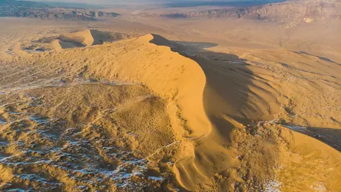
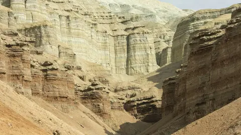
The river links several well-known places in the region, most of them upstream of the lower reaches. The Charyn River, famous for its canyon, joins the Ili from the south. On the Ili bank near that confluence stands the Singing Dune. Altyn-Emel National Park lies on the right bank above the reservoir, where kulan and Przewalski’s horses are bred.
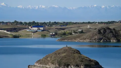
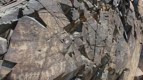
The Kapchagay dam was built in 1965–1970. It created a reservoir 110 km long, up to 22 km wide and 45 m deep. Locals call it a sea, and it is a summer escape for people from Almaty; see Kapshagay reservoir and Konaev. About 20 km downstream of the dam lies Tamgaly-Tas, a protected site with rock carvings. Its name means stones with signs, and it is known among rock climbers.
Where the Ili ends: the delta and Lake Balkhash
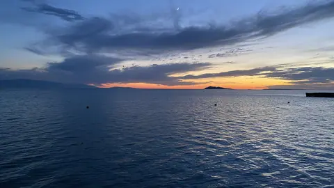
The Ili flows into the western part of Lake Balkhash. It forms a large delta with permanent branches named Zhideli, Topar, Kugaly and Naryn, plus many small lakes. The Zhideli carries about 80% of the flow. The river supplies 73–80% of all water entering Balkhash and makes the lake’s western part much less salty.
Sources give quite different figures for the delta’s size, so treat any single number with care.
| Delta measure | Figure | Source |
|---|---|---|
| Delta area | about 8,000 km² | English Wikipedia |
| Delta area | 9,000 km², 130 km long, up to 100 km wide | Kazakh Wikipedia |
| Present-day delta area | 415,000 ha (4,150 km²), as of 2017 | Russian Wikipedia |
| Ramsar wetland site | 9,766 km² | English Wikipedia |
The sources do not explain the gap. The Russian article calls it an unstable system whose channels keep changing. The Ramsar area lists 427 plant species and 345 animal species, including the Dalmatian pelican, white-headed duck and goitered gazelle. The Caspian tiger lived in the delta until 1948. Tiger reintroduction has been proposed, and wild boar still live there.
When to go on the Ili
The river is frozen from late November to early April, so open water runs roughly from April to November. June and September look the most comfortable by temperature. The river freezes at the end of November and the ice breaks up in early April. Water levels peak in July and August.
Day high, °C / Night low, °C · Rain/snow, mm
A computed reanalysis normal for these coordinates, not weather station records.
Monthly figures
| Month | Day high, °C | Night low, °C | Rain/snow, mm |
|---|---|---|---|
| Jan | -5.3 | -11.9 | 12.7 |
| Feb | -3.1 | -10 | 9.6 |
| Mar | 6.4 | -2.1 | 18.4 |
| Apr | 16.3 | 7.4 | 15.2 |
| May | 24.2 | 14.6 | 17.2 |
| Jun | 29.4 | 20.3 | 13.8 |
| Jul | 30.9 | 22.2 | 7 |
| Aug | 28.9 | 19.9 | 3.9 |
| Sep | 22.5 | 13.4 | 3.1 |
| Oct | 13.6 | 5.7 | 17.1 |
| Nov | 3.2 | -3.2 | 17.6 |
| Dec | -3.1 | -9.3 | 14.1 |
These are ERA5 reanalysis normals for 2011–2020 at a grid point at 341 m, the level of the river mouth, not a weather station. July averages 30.9 °C by day and 22.2 °C at night. June and August are only slightly cooler. With almost no shade on a desert river, midsummer days are hard work. July, August and September are very dry, with 3–6 mm of rain a month. Winter is harsh: January averages −5.3 °C by day and −11.9 °C at night.
| Period | Conditions | What it means for a trip |
|---|---|---|
| Dec–Mar | river frozen, days below or near 0 °C | no rafting |
| April | ice just gone, days about 15 °C, nights about 7 °C | cold water, cold nights |
| May–June | days 24–29 °C | good conditions, longest days |
| July–August | days 28–31 °C, highest water, very dry | hot, strong sun |
| September | days about 22 °C, very dry | comfortable, settled weather |
| October–November | days 13 °C, then about 3 °C | getting cold, then freeze-up |
If the grid point sits close to Lake Balkhash, the water may soften the figures.
Fishing and wildlife on the Ili
The Ili is known for its fish, above all the wels catfish, an introduced species. By English Wikipedia, the largest recorded specimen was 2.73 m long and weighed 130 kg. The Kazakh article cites much larger figures of 5 m and 300 kg. We could not confirm those, so treat them as anglers’ lore.
Other fish include carp, asp, pike-perch, Balkhash perch, snakehead and grass carp. Crayfish also live in the river. On the banks, sources list pheasant, jungle cat, muskrat and hares, plus birds such as the black kite, steppe eagle, hoopoe and European roller. We could not confirm the fishing licence rules for the river or the delta.
For how the Ili compares with other rivers, see rivers of Kazakhstan.
- Put-in and take-out points, typical trip lengths and who runs raft trips on the lower Ili
- Whether permits are needed for the delta’s protected areas or for fishing
- Road condition and any public transport to Bakanas and the lower river
- Whether regular boat traffic to Bakanas still operates
The Ili River: tips before you go
- Plan for open water from April to October only: the Ili freezes at the end of November and thaws in early April.
- Bring sun protection and enough water in July and August: days average 28–31 °C and there is almost no rain or shade.
- Below Konaev there is only one road bridge, near Bakanas, so fix transfers before you set off on the water.
- Channels shift and split into many reedy branches, so go with someone who knows the current state of the lower river.
More to see nearby