Verified: 2026-10
Furmanov Peak: when to go, month by month
- January: possible
- February: possible
- March: possible
- April: possible
- May: good
- June: best time
- July: best time
- August: best time
- September: best time
- October: good
- November: possible
- December: possible
The comfortable season is May to October; in winter the steep final section calls for experience and gear.
Furmanov Peak: why go
The Furmanov Peak summit
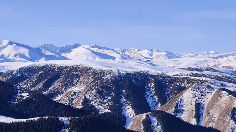
From 3,053 m you see Talgar Peak, the Left Talgar valley, Mount Kumbel and Almaty; the last 2 km is a steep, rocky slope.
The Sky Swings above Kimasar
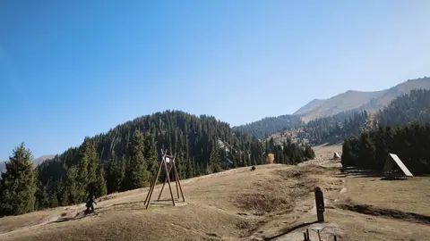
Swings on the ridge at about 2,500–2,600 m are the trail's key landmark: after them the steep climb to the summit begins.
Through spruce and Enthusiasts' Meadow
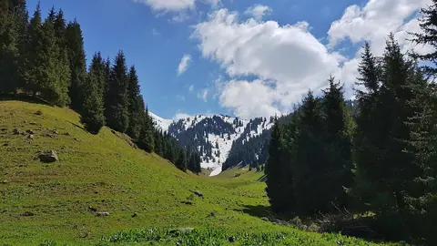
From Medeu a good path climbs to the ridge, then runs through spruce forest and across the Enthusiasts' Meadow to the north slope.
Furmanov Peak without a car
The trail starts at Medeu, served by bus 12: a 14–15 km day hike with no climbing gear needed, 7–8 hours.
On to Panorama Peak
Fit hikers carry on along the ridge to Panorama Peak (3,260 m): about 17 km and 1,570 m of ascent, 8–10 hours.
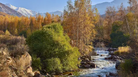
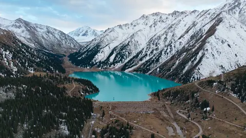
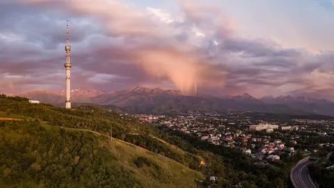
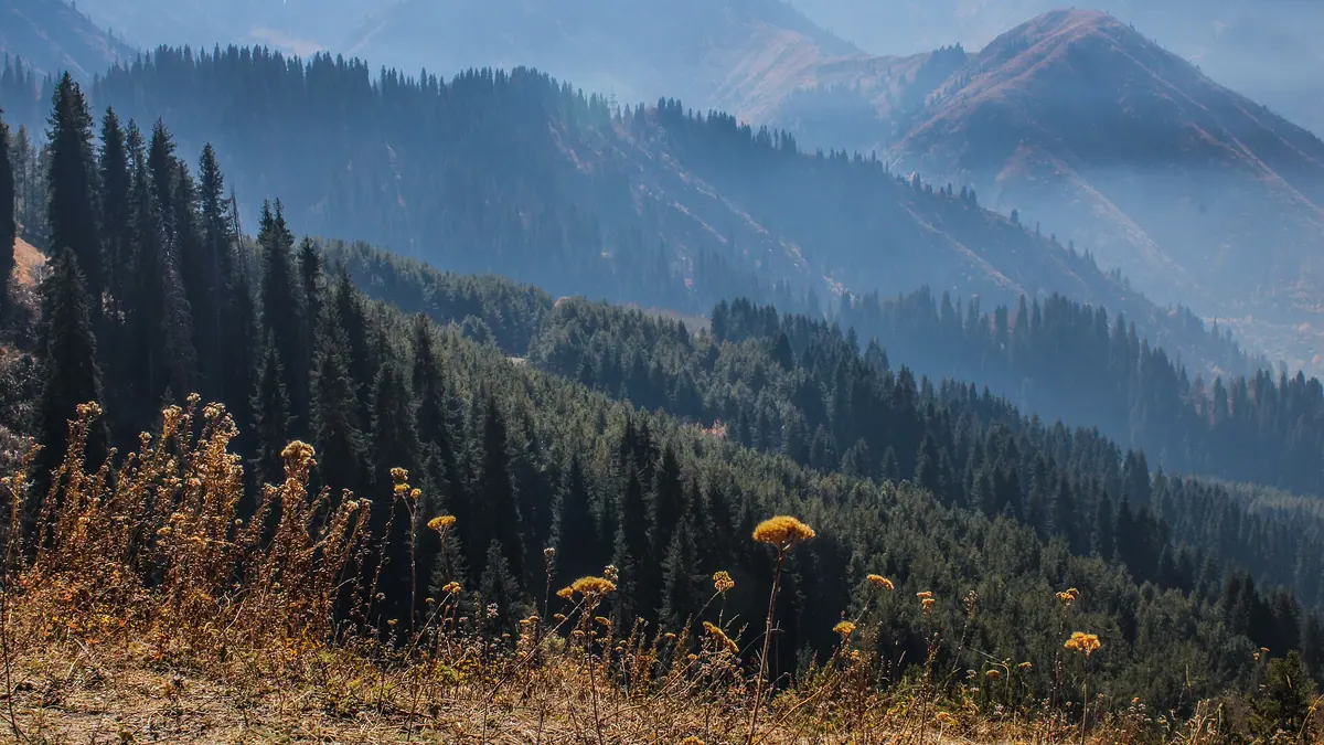
Furmanov Peak in photos
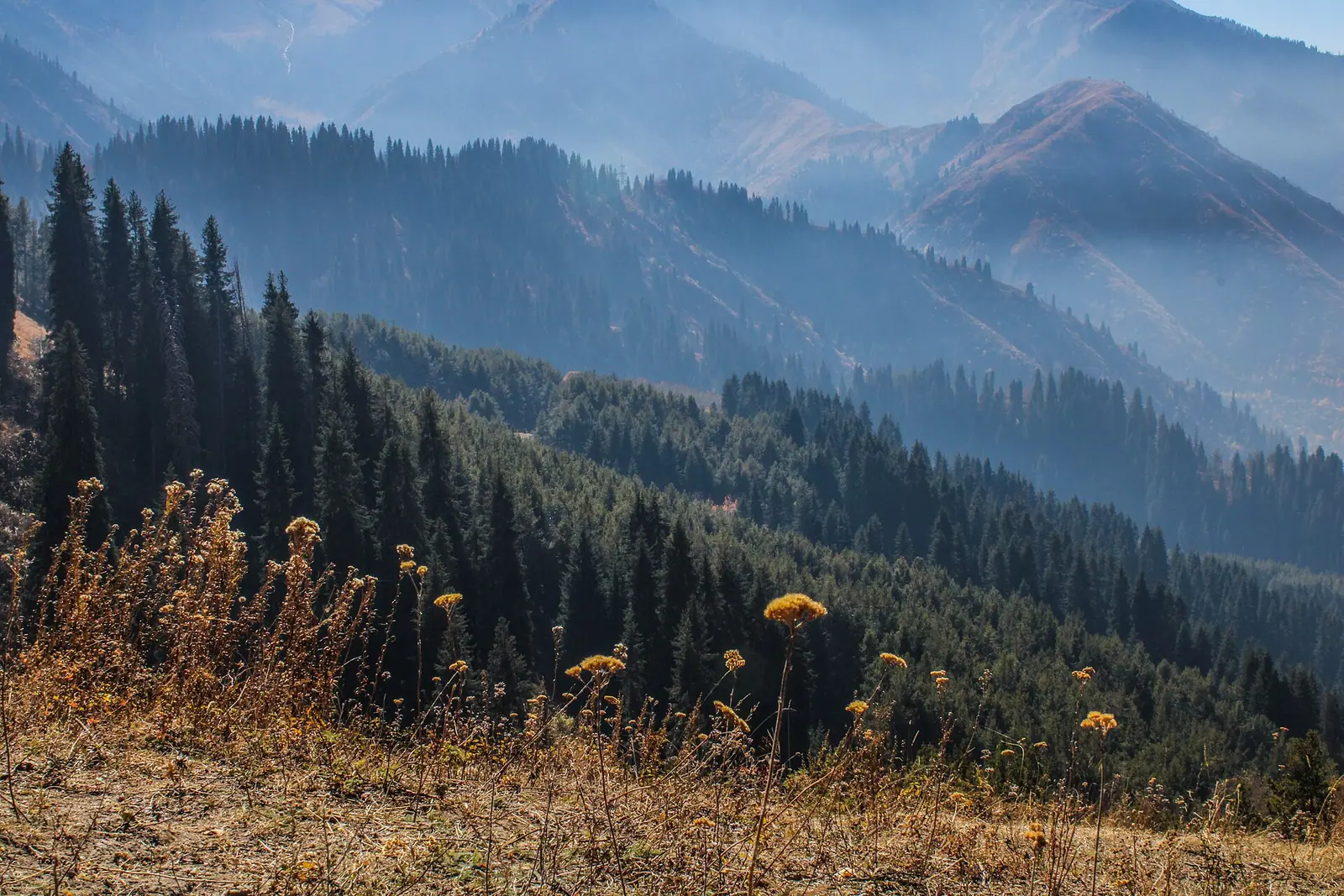
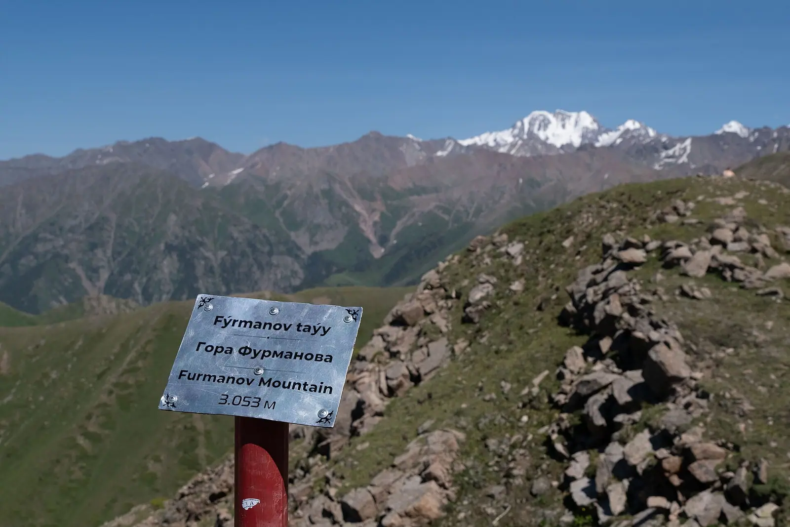
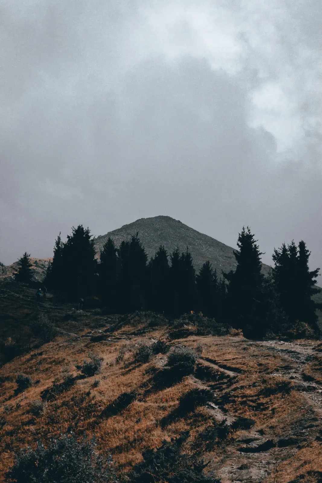
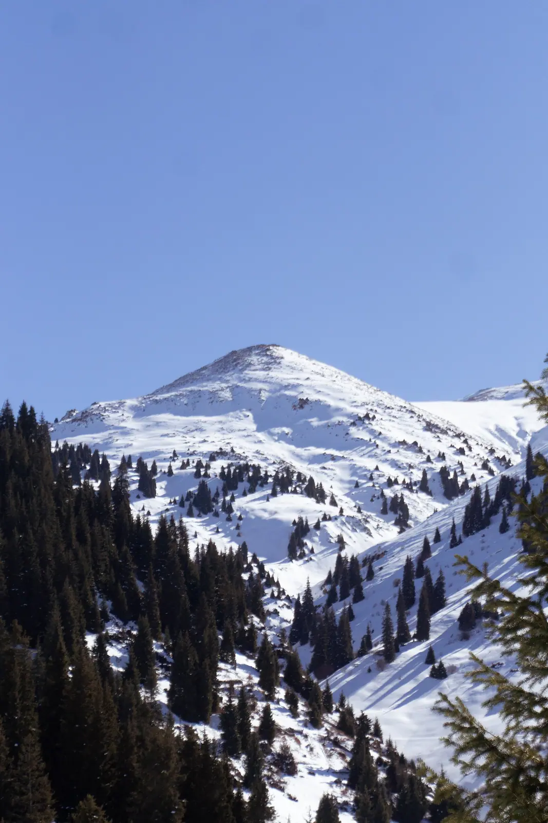
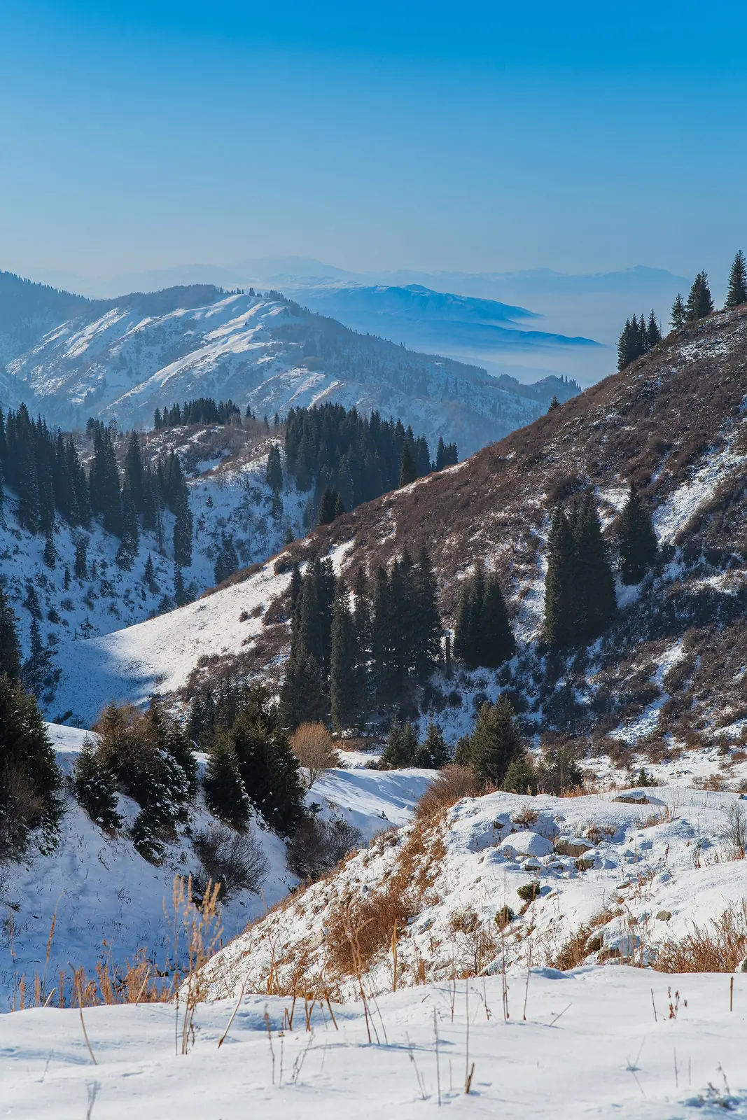
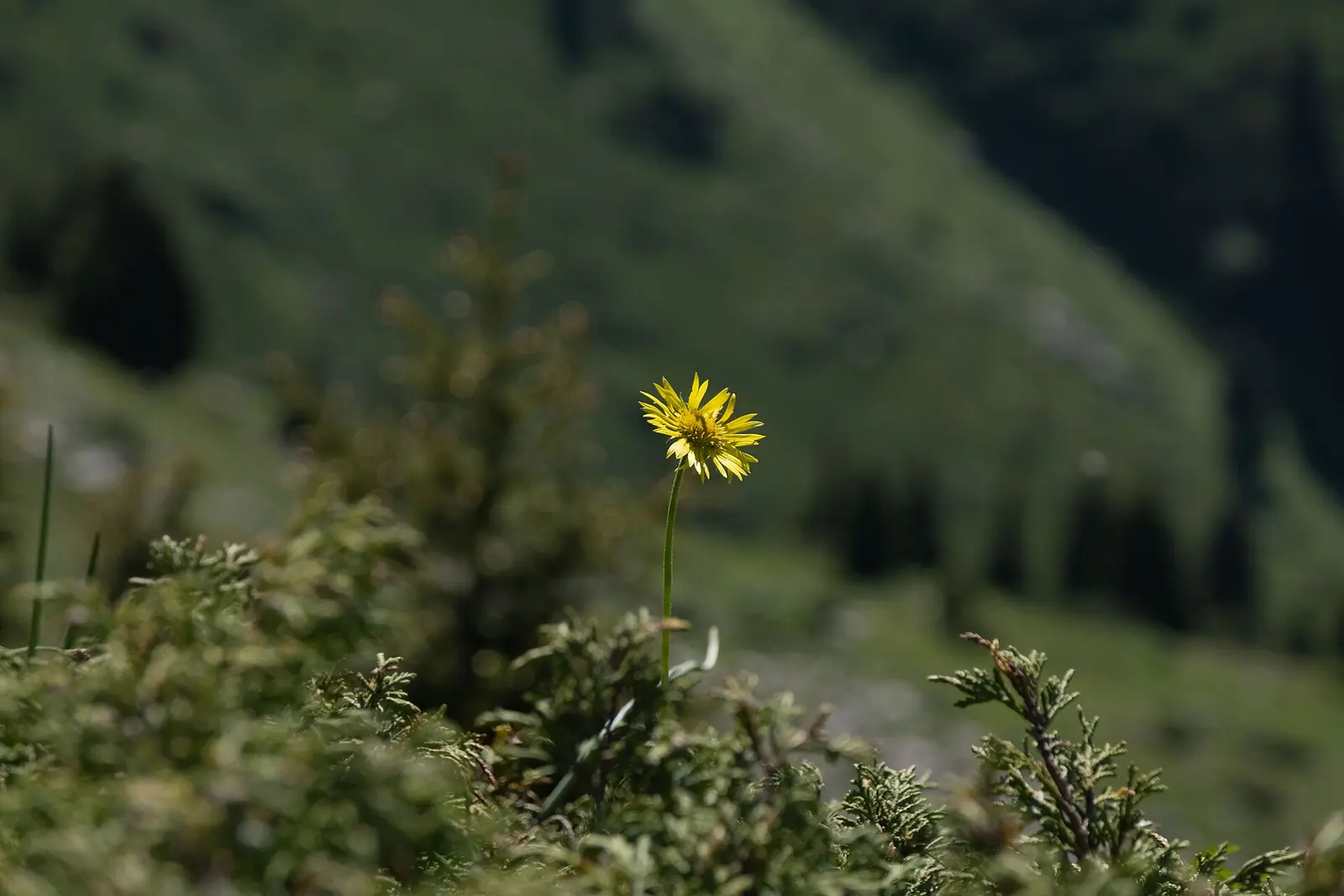
Real photos by travellers (Pexels, Unsplash, Wikimedia Commons); author and licence are given in each caption.
Furmanov Peak is a 3,053 m summit above the Kimasar valley in Ile-Alatau National Park, and one of the most popular day hikes from Almaty. The trail starts at Medeu, which city bus 12 serves. It climbs a spruce-covered ridge to the Sky Swings and ends with a steep, rocky push to the top. Plan on 14–15 km there and back, about 1,360 m of ascent and 7–8 hours: no climbing gear is needed, but fitness is. The valley’s other trails are covered on our Kimasar Gorge page.
Furmanov Peak in numbers: height, distance and time
The summit stands at 3,053 m by Sxodim and 24.kz, while the Adrenalinic Silence guide gives 3,055 m. Distances and ascent also vary slightly between sources. Some measure from the Medeu bus stop and others from the end of the asphalt.
| Parameter | Value |
|---|---|
| Summit altitude | 3,053 m (3,055 m by Adrenalinic Silence) |
| Start | Medeu, about 1,670–1,690 m |
| There and back | about 14 km (Zabugorshiki) or 15 km (Adrenalinic Silence) |
| Ascent | about 1,360 m |
| Walking time | 7–8 hours with stops |
| Sky Swings | about 2,500–2,600 m |
| Location | Kimasar valley, Ile-Alatau National Park |
For planning, this is a full day with well over a kilometre of climbing. Sxodim also says the peak lies “16 km from the Medeu sports complex”. It does not say whether that is one way or the round trip, so the figure is left out of the table.
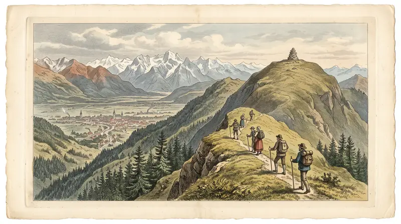
Getting from Almaty to the trailhead at Medeu
The route starts at the Medeu sports complex, which city bus 12 serves. Sxodim gives these directions:
- From Medeu, walk a short way down the road.
- On the right, look for a trail turn with a barrier and go past it.
- Follow the asphalt to its end, where the dirt trail begins.
Further on is the Kimasar checkpoint. It is also the way into the Butakovka gorge, to the small Kimasar waterfall and to the neighbouring summits Panorama, Chimbulak and Bushata (Tengrinews, 2023).
If you plan to drive, check the entry rules first. In September 2026 the Almaty city council approved restrictions on petrol and diesel cars in the Medeu park (Bes.media); details are on the Medeu page. Do not squeeze your car in beside the barrier if others are already parked there. In 2020 a Toyota left by a concrete block blocked an ambulance that was taking an injured hiker from the peak (Tengrinews).
The trail section by section: forest, Sky Swings, rocky summit
The trail follows the ridge that separates the Kimasar valley from the next gorge. According to Adrenalinic Silence, a good path first leads up to the ridge. It then runs through spruce and across the Enthusiasts’ Meadow to the north slope of the summit. Sxodim describes the same line: a dirt track following signs to a view over the gorge, a left turn, then a climb along the ridge. The Sky Swings are the sure landmark, and the steep climb begins after them.
| Section | Length | Ascent / altitude | Time | Difficulty |
|---|---|---|---|---|
| Medeu — end of asphalt — Kimasar checkpoint | no data | from 1,690 m | — | easy |
| Ridge trail, spruce forest, Enthusiasts’ Meadow — Sky Swings | — | about 810 m, up to 2,500–2,600 m | a little over 2 hours | moderate |
| Sky Swings — summit | about 2 km | about 550 m, to 3,053 m | — | steep rocky slope, hands needed in places |
| Descent to Medeu | — | — | about 3 hours | moderate, loose stones |
The section figures come from Zabugorshiki and Sxodim; the total is the same 7–8 hours. After the Sky Swings the steep, rocky climb begins.
From the summit, says Adrenalinic Silence, you can see Talgar Peak, the Left Talgar valley, Mount Kumbel and the city. Fit hikers can carry on along the ridge to Panorama Peak (3,260 m). Zabugorshiki puts that loop at about 17 km with about 1,570 m of ascent, taking 8–10 hours.
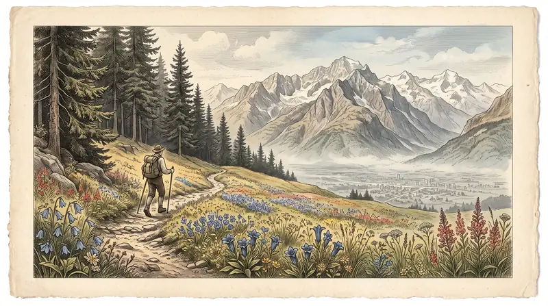
When to climb: May to October, with sudden snow possible even in summer
The comfortable season for walkers is May to October, which is the season Adrenalinic Silence gives for Almaty’s mountain routes. Sxodim (2024) writes that people climb the peak at almost any time of year.
Even summer has risks. Zabugorshiki warns of sudden snowfalls on the ridge. In winter the steep final section calls for experience and gear suited to the conditions.
Day high, °C / Night low, °C · Rain/snow, mm
The station is in the city at 847 m; the summit is at 3,053 m, almost 2.2 km higher. We found no month-by-month altitude correction; on the nearby Mynzhylky plateau (about 3,000 m) the mean annual temperature is −2.7 °C (English Wikipedia).
Monthly figures
| Month | Day high, °C | Night low, °C | Rain/snow, mm |
|---|---|---|---|
| Jan | 0.5 | -8.1 | 34.7 |
| Feb | 2.7 | -6.2 | 42.6 |
| Mar | 9.9 | -0.2 | 72.4 |
| Apr | 17.8 | 6.8 | 112.4 |
| May | 22.9 | 11.5 | 98.7 |
| Jun | 27.9 | 16.4 | 59 |
| Jul | 30.5 | 18.6 | 42.9 |
| Aug | 29.7 | 17.3 | 33.5 |
| Sep | 24.5 | 12 | 27.8 |
| Oct | 16.9 | 5.3 | 49.8 |
| Nov | 8.1 | -1 | 55.3 |
| Dec | 2 | -6.1 | 44.3 |
Source: Almaty — Wikipedia (Climate data for Almaty, 1991–2020; Pogoda.ru.net, NOAA)
The climate chart uses Almaty’s city weather station at 847 m. The summit is almost 2,200 m higher and much colder, so treat the chart as the weather at the bottom, not at the top. For comparison, English Wikipedia gives the nearby Mynzhylky plateau (about 3,000 m) a mean annual temperature of −2.7 °C, with snow cover on 237 days a year on average.
Ile-Alatau National Park fee at the Kimasar checkpoint
The trail runs through Ile-Alatau National Park. Since 27 January 2023 a fee has been charged at the Kimasar checkpoint (Tengrinews). It has two parts:
- a payment for using the protected area;
- a charge for cleaning and upkeep.
Pensioners and veterans go free. Medeu itself belongs to a different park, the regional Medeu park, where national park rates do not apply.
The current Ile-Alatau rate is set by Annex 11 to Order No. 232 of 2 October 2024. It is 0.15 MCI per walker and 0.3 MCI per car. The MCI is a reference unit that changes each year, and our fee calculator converts it into tenge for the current year.
Is Furmanov Peak safe? Rescues and precautions
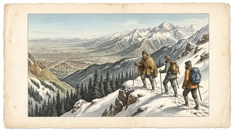
By Almaty standards, Furmanov Peak is an easy summit for a mountain over 3,000 m, but it is not a stroll. Sxodim (2024) says the path is well marked and no gear is needed, but the final climb is steep.
- Don’t go alone. This is Sxodim’s advice. If you do go alone, tell someone your route and when you expect to be back.
- Download the track for offline use. According to Zabugorshiki, mobile reception on the ridge is poor.
- Watch for altitude symptoms. If you get a headache, nausea or shortness of breath, turn back down (Sxodim). Before a first 3,000-metre peak, Zabugorshiki suggests doing an easier hike before a first 3,000-metre peak, for example Kok-Zhailau.
- Children. In September 2020 a nine-year-old boy fell on the peak. Rescuers covered part of the way on foot along a narrow, difficult path, and the whole operation took almost five hours (Tengrinews). Zabugorshiki recommends the route for children from about 10.
- Tents and overnight stays. In July 2026, rescuers from the Barys service found two missing hikers in a tent at the foot of the peak and walked them down the Kimasar gorge (24.kz).
- Trekking poles help on the steep descent over loose stones. Carry your own water and food.
In an emergency, call 112.
What else is near Furmanov Peak
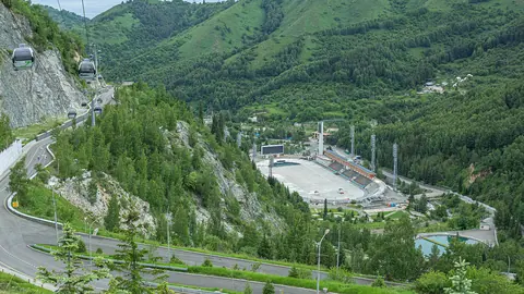
- Medeu — the trailhead, the dam and the skating rink.
- Butakovka waterfall — the next gorge, reached via the Kimasar checkpoint or over the pass from Medeu.
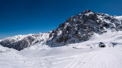
- Shymbulak — the ski resort higher up the Small Almaty valley.
- Kok-Zhailau — a plateau for an easier hike.
- Ile-Alatau National Park — rules and eco-posts.
- Nature near Almaty: 15 day trips.
Furmanov Peak: tips before you go
- Don't go alone, and download the track offline: mobile reception on the ridge is poor.
- Turn back down if you get a headache, nausea or shortness of breath.
- Don't park right by the barrier — cars there have already blocked an ambulance.
- Trekking poles help on the steep descent; carry your own water and food.
More to see nearby


Frequently asked questions
How high is Furmanov Peak?
How do I get to Furmanov Peak?
How long does it take to climb Furmanov Peak?
Where are the Sky Swings on the way to Furmanov Peak?
Is there a fee to climb Furmanov Peak?
Can you climb Furmanov Peak in winter?
Is the Furmanov Peak trail dangerous?
Sources
- Пик Фурманова — Sxodim
- Покоряя вершины: 7 доступных горных пиков Алматы — Sxodim, 27.09.2024
- Доступ к знаменитым качелям в горах Алматы сделали платным — Tengrinews, 07.02.2023
- В горах Алматы нашли пропавших туристов — 24.kz, 02.07.2026
- 9-летний мальчик сорвался с пика Фурманова в Алматы — Tengrinews, 20.09.2020
- 10 hiking trails of Almaty mountains — Adrenalinic Silence, 17.04.2017
- Furmanov Peak & Panorama — Zabugorshiki
- Order of the Minister of Ecology and Natural Resources No. 232 of 02.10.2024
- В Алматы изменят правила въезда на Медеу и Шымбулак — Bes.media, 18.09.2026
- Mynjylky mountain plateau — Wikipedia
- Climate data for Almaty (1991–2020) — Wikipedia