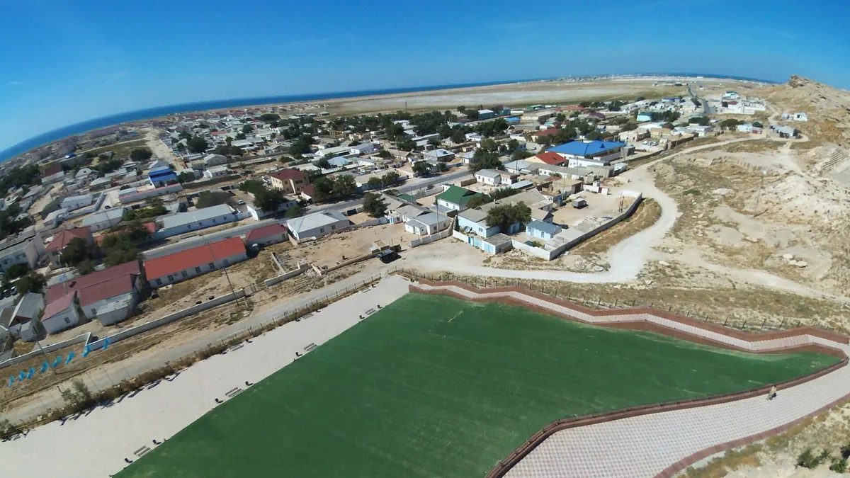
Fort Shevchenko, the old Caspian fort town on the Mangystau coast: when to go, month by month
- January: possible
- February: possible
- March: possible
- April: good
- May: best time
- June: best time
- July: good
- August: good
- September: best time
- October: good
- November: possible
- December: possible
May and September bring highs of about 21–23°C, while July and August near 30°C and winters hover around freezing.
Fort Shevchenko, the old Caspian fort town on the Mangystau coast: why go
Fort Shevchenko's Shevchenko museum
The memorial museum to the Ukrainian poet opened in 1932; he served in the fort in exile from 1850 to 1857, and the town has carried his name since 1939.
Fortress remains on Korgantas hill
Ruins of the 1846 Novo-Petrovsk fort sit on Korgantas hill at the edge of town; archives describe four bastions and two half-bastions around the outer rampart.
The road from Aktau
The town is about 121 km in a straight line from Aktau, given as 130 km northwest by Kazakh Wikipedia. Transport options need arranging in Aktau.
Mild shoulder seasons on the Caspian
May and September average highs of about 21°C and 23°C, while July nights stay near 24°C. Rainfall stays under about 27 mm in every month.
An Armenian chapel by the Caspian
Russian Wikipedia describes the Armenian chapel built in Fort Shevchenko as the only one in Kazakhstan, alongside an 1891 temple at the foot of Korgantas.
Fort Shevchenko, the old Caspian fort town on the Mangystau coast in photos
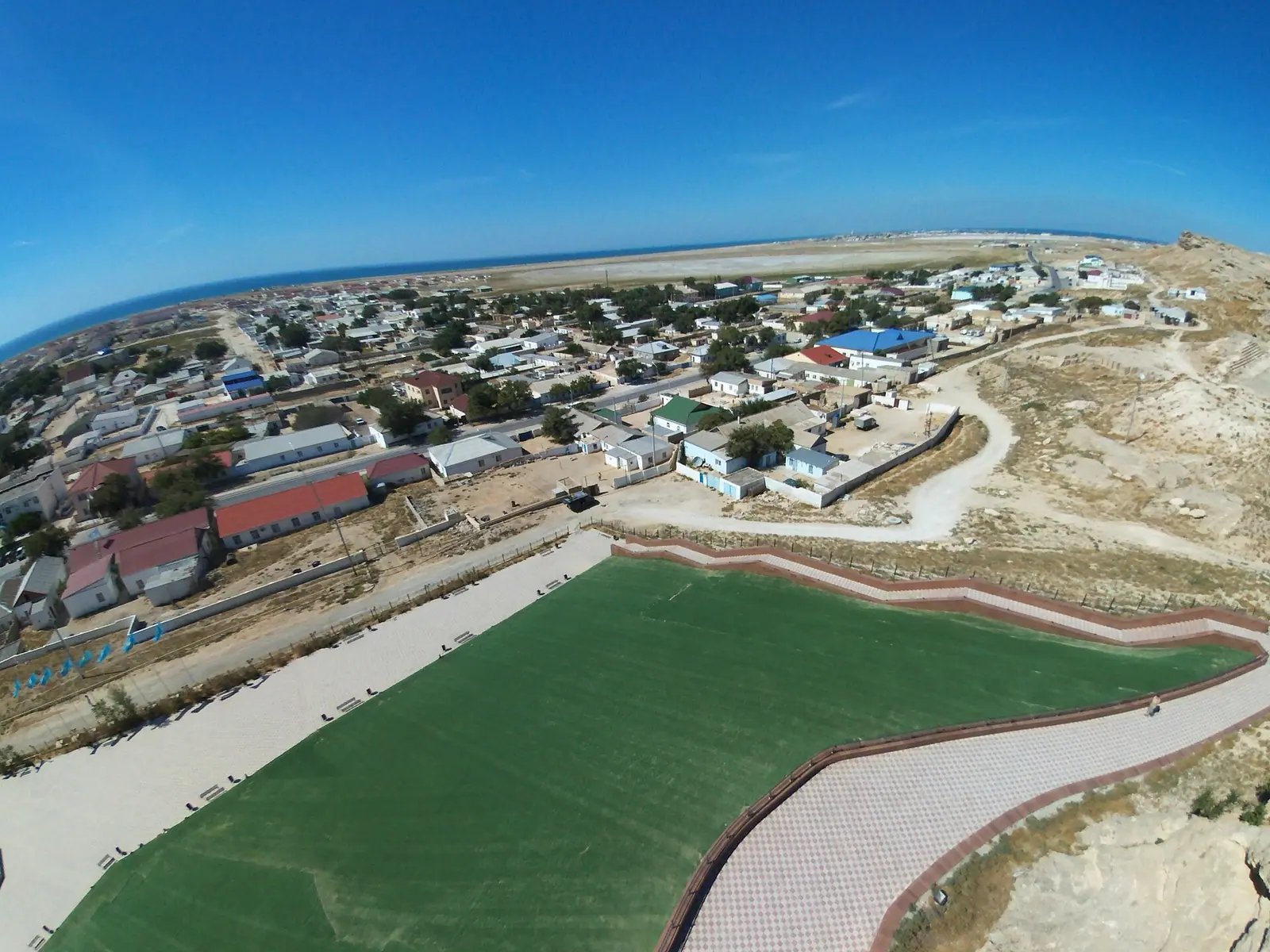
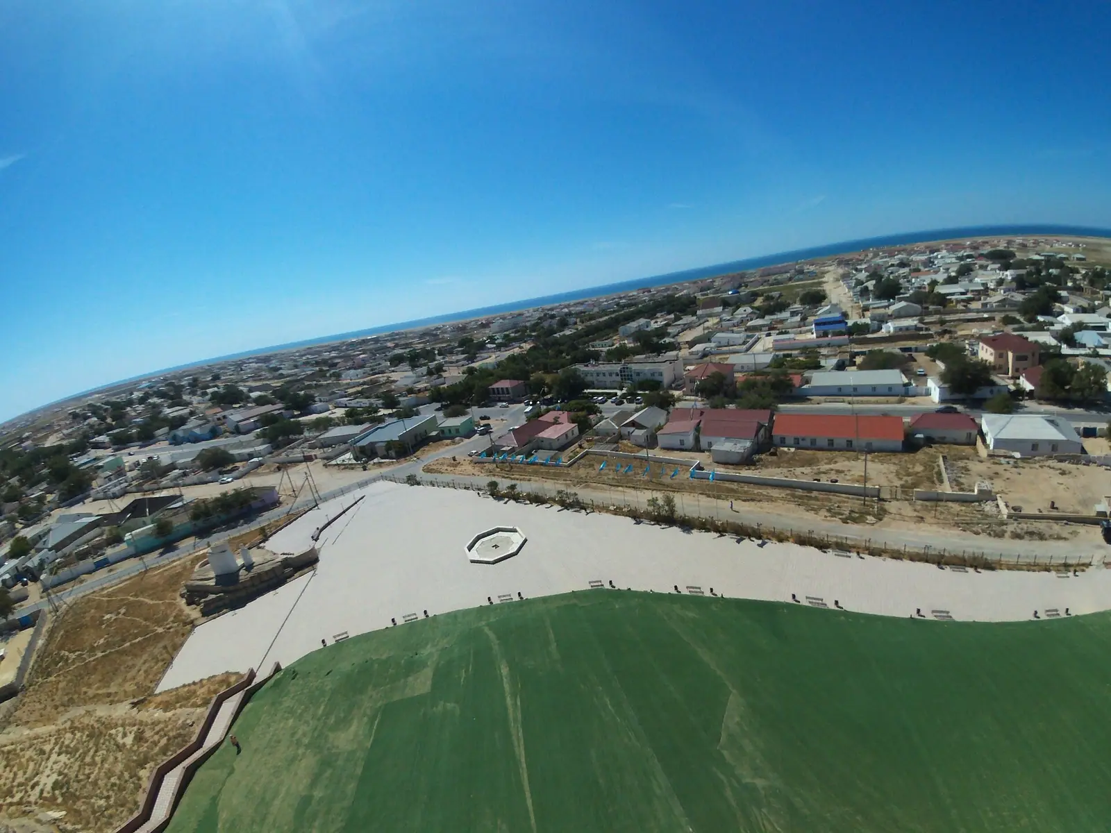
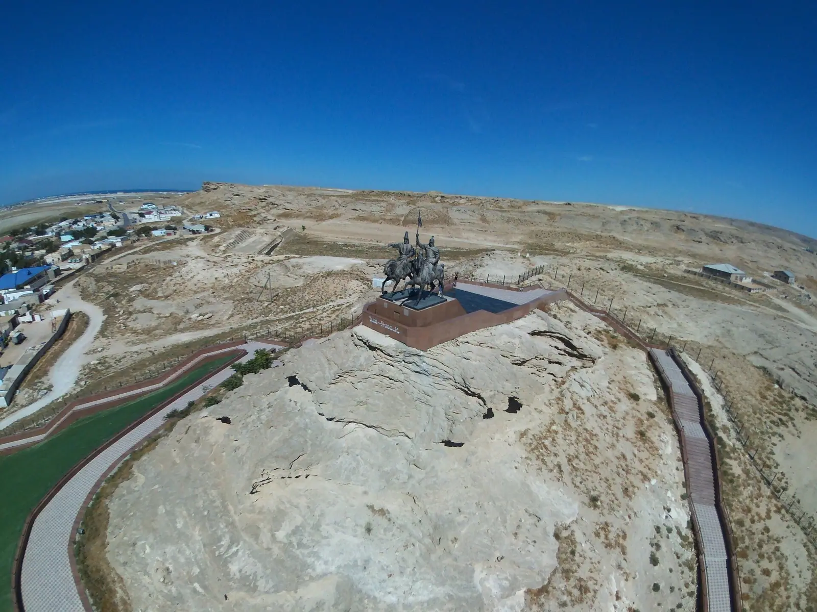
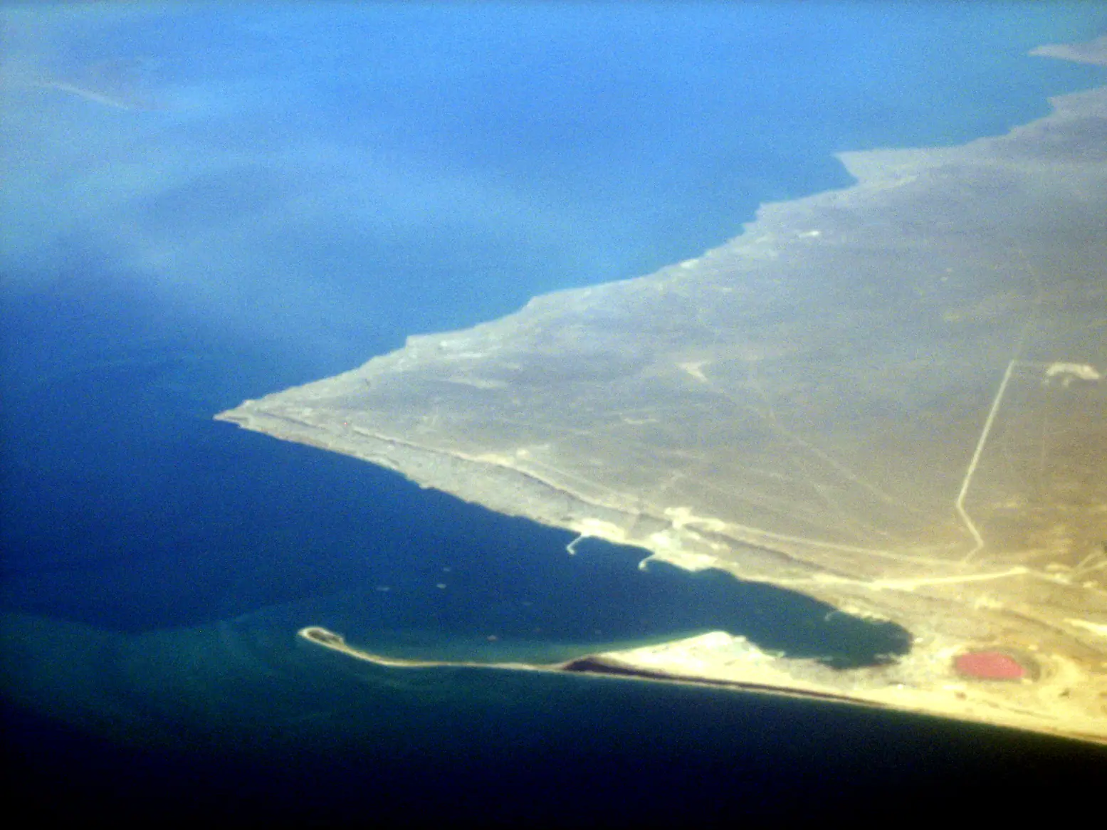
Real photos by travellers (Pexels, Unsplash, Wikimedia Commons); author and licence are given in each caption.
Fort Shevchenko is a small town on the eastern Caspian shore in Kazakhstan’s Mangystau Region, about 121 km in a straight line from Aktau. It is a history stop rather than a nature trip: fort remains, a memorial museum to the poet Taras Shevchenko, old lighthouses and burial grounds nearby. Most visitors would treat it as a day out from Aktau or a stop on a wider Mangystau route.
Where Fort Shevchenko is and what kind of trip it is
The town sits on the Tupkaragan (Tyub-Karagan) peninsula on the Mangyshlak coast, in the far west of Kazakhstan, on the opposite side of the country from Almaty. It is the administrative centre of Tupkaragan District, and the port of Bautino lies close by. Wikipedia describes it as a military-base town used by the Kazakhstan Navy, with fishing and stone extraction as local industries.
It is small. Russian Wikipedia gives 6,376 residents at the start of 2019; English Wikipedia gives 5,559 as a 2016 estimate. Expect a quiet district town, not a resort.
| Key fact | Detail |
|---|---|
| Region | Mangystau, Tupkaragan District |
| Setting | Eastern Caspian shore, Tupkaragan peninsula |
| Distance to Aktau | about 121 km in a straight line; Kazakh Wikipedia gives 130 km northwest |
| Population | 6,376 (early 2019) or 5,559 (2016 estimate) |
| Named after | Taras Shevchenko, exiled here 1850–1857 |
The practical upshot: plan it from Aktau, the regional centre, and budget a full day if you want the museum, the fort remains and any of the sites outside town.
A fort with five names: the town’s history in brief
The site was settled long before the Russian fort. Russian Wikipedia records a small Oghuz settlement here from the 8th century, and the earlier town of Ketik-kala was a port on a Caspian branch of the Silk Road. Kazakh Wikipedia adds that excavations show Ketik-kala traded with economic centres of Europe and Central Asia in the 10th–15th centuries.
The Russian period starts with the fortress of St Peter, founded during Alexander Bekovich-Cherkassky’s Khiva expedition. Russian Wikipedia dates this to 1717, the Kazakh article to 1716, so treat the year as one or the other. The town you see today traces to 1846.
| Year | Name or event |
|---|---|
| 1834 | Novo-Alexandrovsk fortification built on Kaidak bay |
| 1846 | Fort moved to the peninsula and renamed Novo-Petrovskoye |
| 1850–1857 | Taras Shevchenko in exile here |
| 1857 | Renamed Fort-Alexandrovsky after Alexander II |
| 1882–1920 | Centre of the Mangyshlak uyezd (county) |
| May 1919 | Naval battle off the coast; English Wikipedia dates a British flotilla attack on the port to 21 May |
| 1924 | Renamed Fort-Uritsky |
| 1939 | Renamed Fort-Shevchenko |
Russian Wikipedia calls the 1919 battle the largest on the Caspian during the Russian Civil War. For a reader, the many renamings matter: old maps and books may use any of these names.
What to see in Fort Shevchenko
The core of a visit is the Shevchenko Memorial Museum, opened in 1932, plus the local history and ethnographic museums. Kazakh Wikipedia counts three museums in town. The remains of the fortress survive on Korgantas hill at the edge of town, along with a monument to Shevchenko and a mass grave of Civil War dead.
| Sight | Date or detail |
|---|---|
| Novo-Petrovsk fortress remains | 1846, on Korgantas hill |
| Shevchenko Memorial Museum | opened 1932 |
| Lower and Upper Tupkaragan lighthouses | 1851 and 1862 |
| People’s House | 1880–1882 |
| Temple at the foot of Korgantas | 1891 |
| Armenian chapel | described as the only one in Kazakhstan |
| Architectural complex | 16th–20th centuries, 2 km from town |
| Beisenbai necropolis | 17th–19th centuries, 31 km from town |
The town also has late 19th and early 20th-century civic buildings. Further out, Russian Wikipedia lists the Shakhbagata Palaeolithic sites, with stone tools of Acheulean type; we could not confirm whether there is anything for a casual visitor to see there. Beisenbai is a burial ground, so visit quietly.
When to go: weather on the Caspian shore
Late spring and early autumn are the comfortable windows. The figures below are computed ERA5 reanalysis normals for 1991–2020 at a grid point at 17 m, not a weather station.
Day high, °C / Night low, °C · Rain/snow, mm
A computed reanalysis normal for these coordinates, not weather station records.
Monthly figures
| Month | Day high, °C | Night low, °C | Rain/snow, mm |
|---|---|---|---|
| Jan | 1.9 | -2.2 | 18.8 |
| Feb | 2.5 | -2.2 | 11 |
| Mar | 7.9 | 2.9 | 22.8 |
| Apr | 14.5 | 9.2 | 23.4 |
| May | 22.8 | 17 | 18.1 |
| Jun | 28.3 | 22 | 11.5 |
| Jul | 30.7 | 24.4 | 10.3 |
| Aug | 29.5 | 23.2 | 10.7 |
| Sep | 23.6 | 17.4 | 11.4 |
| Oct | 16.1 | 10.4 | 13.4 |
| Nov | 8.1 | 3.4 | 16.5 |
| Dec | 3.4 | -0.5 | 20.7 |
May averages highs near 21°C and September near 24°C, both easy for walking between sights. July and August reach 30–31°C by day and stay around 23–24°C at night. These are grid-point values, so conditions in town may differ. Winters are raw rather than severe: January highs around 2–3°C and lows just below freezing. It is dry all year, with no month above about 27 mm of precipitation, so rain rarely decides a trip; heat and cold do.
Getting there from Aktau, and the gaps
Aktau is the base. Kazakh Wikipedia says the town is linked to the regional centre and district villages by road and places it 130 km northwest of Aktau; the straight-line distance is about 121 km. Local airports once served Fort Shevchenko and Bautino, but Russian Wikipedia speaks of them in the past tense.
We could not confirm a bus schedule, shared-taxi options or current road conditions. For a traveller without a car or Russian, that means arranging transport in Aktau before setting out and checking how you will return the same day. The navy presence may also affect access to parts of the coast; we could not confirm any rules.
Pairing it with the rest of Mangystau
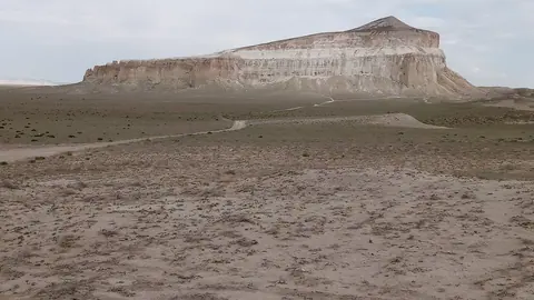
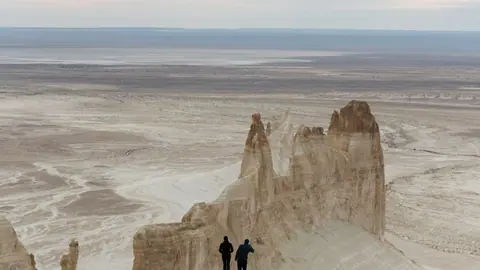
Fort Shevchenko is history; the region’s draw is its desert landforms, and the two combine well over several days from Aktau. The Torysh valley of stone balls is about 104 km away in a straight line, Sherkala mountain about 141 km, and the canyons of Bozzhyra and Mangystau about 156 km. They are 104–156 km away in a straight line, so check road distances before planning.
About 35 km away, according to welcome.kz, is Tamshaly, a canyon with a dripping grotto and a freshwater pool.
- Bus or shared-taxi service between Aktau and Fort Shevchenko, and its schedule
- Opening hours and entry rules of the Shevchenko Memorial Museum and the other two museums
- Current road conditions to the town and to Beisenbai necropolis
- Whether any parts of the coast are restricted because of the navy base
- Whether the Armenian chapel and the lighthouses are open to visitors
Fort Shevchenko, the old Caspian fort town on the Mangystau coast: tips before you go
- Old maps may say Novo-Petrovskoye, Fort-Alexandrovsky or Fort-Uritsky: all are this town at different dates.
- Beisenbai necropolis is 31 km from town, so plan transport for it separately rather than on foot.
- July highs are near 30°C at the grid point, so carry water on longer trips.
- Base yourself in Aktau: it is the regional centre, about 121 km in a straight line.
More to see nearby



Frequently asked questions
How far is Fort Shevchenko from Aktau?
Why is Fort Shevchenko named after Taras Shevchenko?
What is the weather like in Fort Shevchenko?
Is Fort Shevchenko on the sea?
Sources
Read also
 Almaty Zoo in Kazakhstan: opening hours and how to visit
 Ayusai Gorge, Almaty: visitor centre and waterfall trail
 Gorelnik Gorge above Medeu: waterfalls, trail and season
 Kamenskoe Plateau above Almaty: observatory and trails
 Pervomaiskie Ponds near Almaty: location, swimming, season
 Saty village: base for the Kolsai and Kaindy lakes