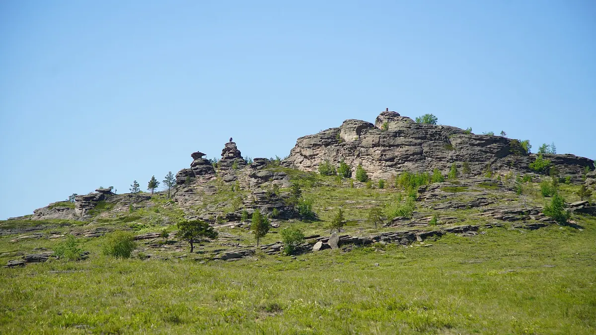
Buiratau National Park: when to go, month by month
- January: off season
- February: off season
- March: off season
- April: possible
- May: good
- June: best time
- July: good
- August: best time
- September: good
- October: possible
- November: off season
- December: off season
Tours run in summer and June to August are the only months with mild days and nights well above freezing.
Buiratau National Park: why go
Buiratau's argali herd
About 200 Yereymentau argali, a wild sheep population cut off from other herds, live in the park's hills and are its best-known animal.
Relict alder and birch woods
Black alder woods and birch groves grow here at the southern edge of their range, and fresh groundwater lies only 1 to 17 m below the surface.
Getting to Buiratau
The park lies east of Astana, between 60 km (by Wikipedia) and about 131 km in a straight line, with its office in Molodezhny village.
A short summer season
June to August bring highs near 21 °C and nights of 10 to 12 °C, while January nights average about −20 °C at the reanalysis grid point.
Salt lakes under a metre deep
Closed basins across Buiratau hold very shallow salt lakes, less than 1 m deep; Bozaigyr and Azhybai are the largest.
Buiratau National Park in photos
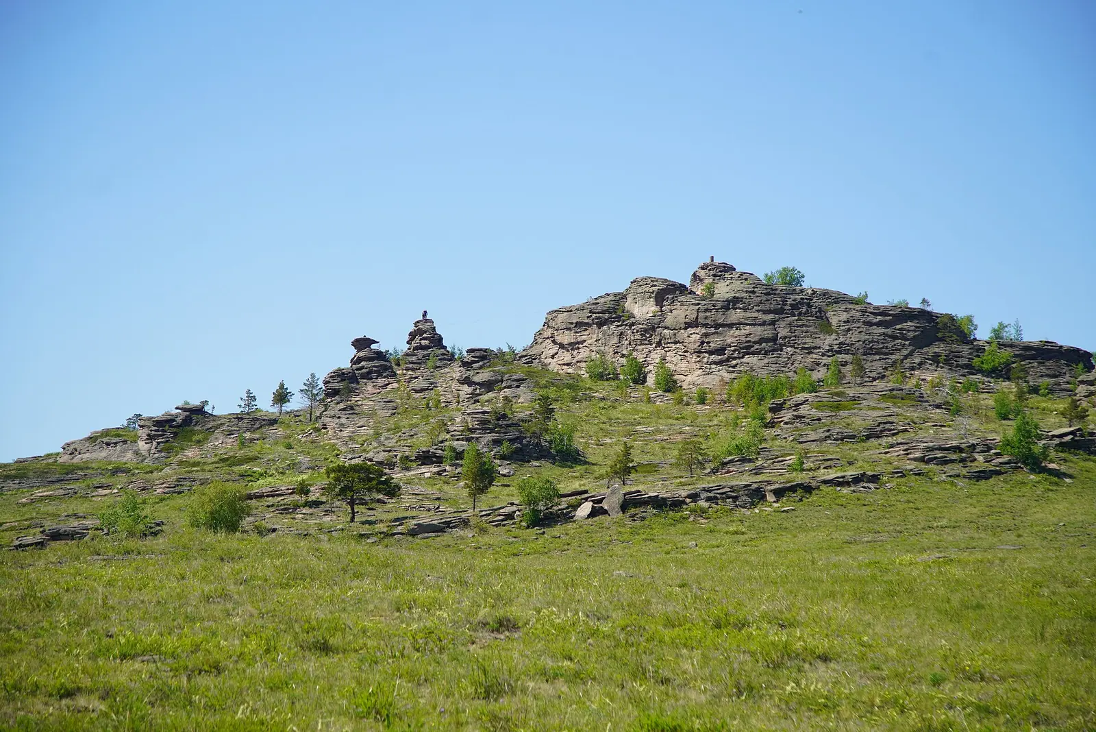
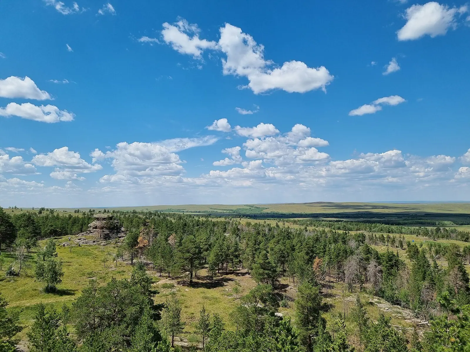
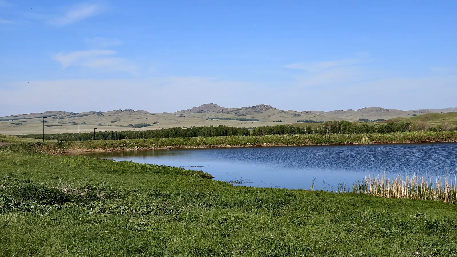
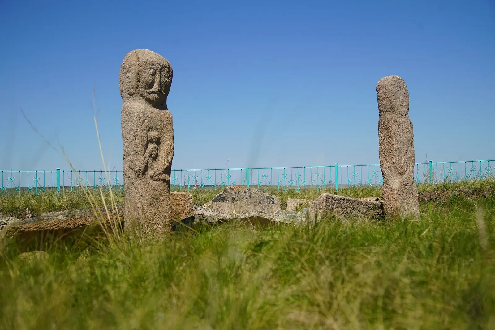
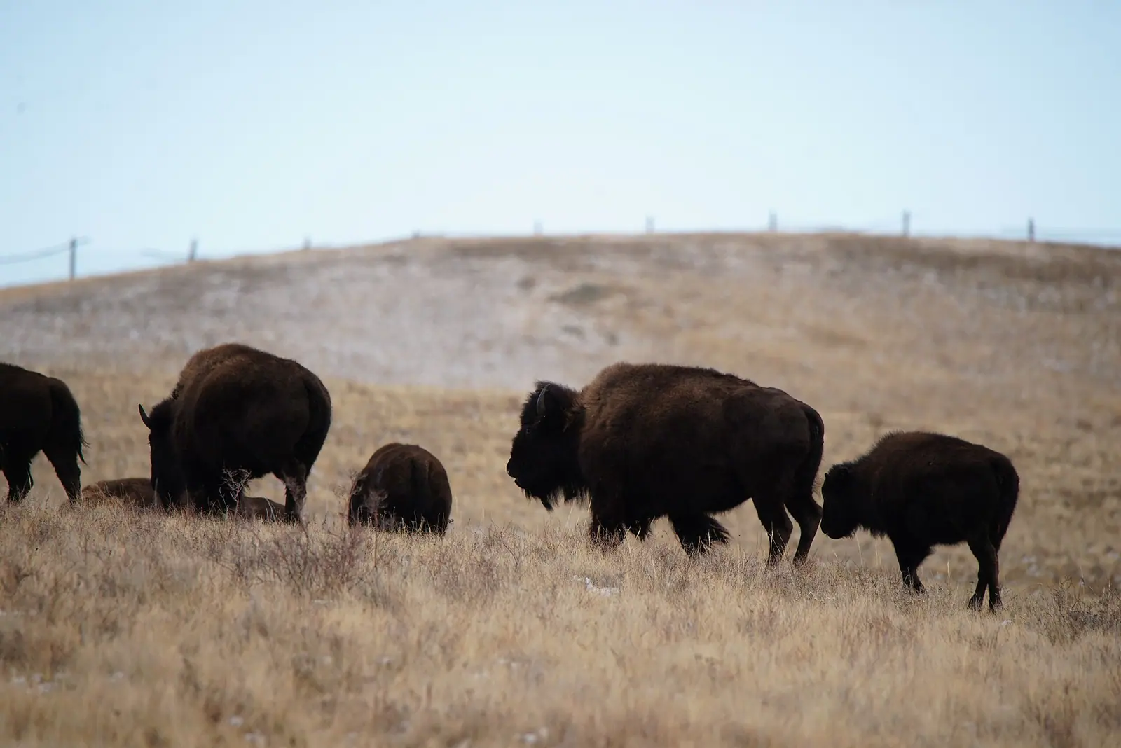
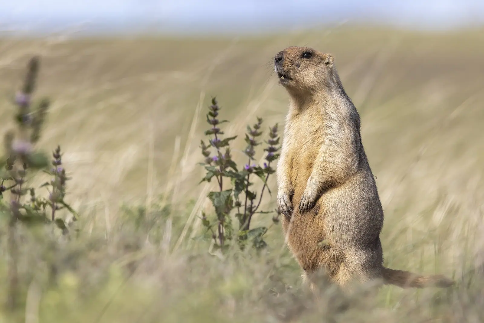
Real photos by travellers (Pexels, Unsplash, Wikimedia Commons); author and licence are given in each caption.
Buiratau National Park is a protected area of dry steppe, low ridges and patches of relict forest in the Yereymentau Mountains, east of Kazakhstan’s capital, Astana. It was created on 11 March 2011 and is known for an isolated herd of about 200 argali wild sheep and 227 recorded bird species. Expect open country rather than dramatic peaks, and a trip that works best in summer.
Where Buiratau is and how far it is from Astana
Buiratau lies in the Kazakh Uplands of central Kazakhstan. It straddles two regions: the northern part, about 60,800 ha, is in Yereymentau District of Akmola Region, and the southern part, 28,154 ha, is in Karaganda Region. Sources disagree on the Karaganda district: Russian Wikipedia gives Osakarovka, English Wikipedia gives Sarybel. The total area, by Kazakh Wikipedia, is 88,968 ha.
English Wikipedia places the park about 60 km east of Astana. The park’s reference point used here is about 131 km from Astana in a straight line and about 171 km from Karaganda. The two Astana figures differ and the sources do not explain why, so treat both figures as rough and check the road distance to the entrance you plan to use.
The park office is in the village of Molodezhny in Karaganda Region. We could not confirm any public transport to the park or between its sections, so plan on a car with a driver unless you find a scheduled service locally.
What the landscape looks like
This is a transition zone: dry steppe in the north and more forest in the hills to the south. The relief is low ridges and hills with plains between them, not alpine mountains. Alder and birch grow along the streams, and the park protects relict black alder woods and birch groves at the southern edge of their range.
Many closed basins hold very shallow salt lakes, less than 1 m deep. The largest lakes are Bozaigyr and Azhybai. Fresh groundwater lies 1 to 17 m below the surface.
| Key fact | Figure |
|---|---|
| Created | 11 March 2011 |
| Total area | 88,968 ha |
| Akmola Region part | about 60,800 ha |
| Karaganda Region part | 28,154 ha |
| Vascular plants | over 450 species |
| Mammals | 45 species |
| Birds | 227 species |
| Argali | about 200 animals |
Wildlife: argali, maral and steppe birds
The headline animal is the Yereymentau argali, a wild sheep population separated from other herds and numbering about 200. A maral (red deer) population of about 100 is being established in the park through acclimatisation work.
Birdlife is the deeper interest. Of 227 recorded species, 117 nest here by Russian Wikipedia, or 127 by Kazakh Wikipedia. Thirteen nesting species are on Kazakhstan’s Red List, including the Eurasian spoonbill, whooper swan, white-headed duck, velvet scoter, steppe eagle, crane, great bustard, little bustard, hazel grouse and an owl. The habitats range across steppe, scrub, forest, meadow and wetland, so a single route can turn up quite different species.
Among the plants are alder, ferns, spring adonis, Gesner’s tulip and more than 30 other rare or range-restricted species. Feather grass and Siberian pea-tree shrubs are common across the open ground.
When to go: short summer, long hard winter
Summer is the realistic season, and it is also when the park runs its tours.
Day high, °C / Night low, °C · Rain/snow, mm
A computed reanalysis normal for these coordinates, not weather station records.
Monthly figures
| Month | Day high, °C | Night low, °C | Rain/snow, mm |
|---|---|---|---|
| Jan | -14.1 | -21.7 | 8.1 |
| Feb | -12.3 | -20.6 | 12.2 |
| Mar | -4.2 | -12.3 | 22.7 |
| Apr | 9.7 | -1.6 | 30.6 |
| May | 16.1 | 3.1 | 34.2 |
| Jun | 20.8 | 9.2 | 67.2 |
| Jul | 21.7 | 10.6 | 86.2 |
| Aug | 20.9 | 8.8 | 39.4 |
| Sep | 14.4 | 2.7 | 32.5 |
| Oct | 5.4 | -3.5 | 36.2 |
| Nov | -6.4 | -13.1 | 27 |
| Dec | -11.5 | -18.5 | 18.7 |
These are ERA5 reanalysis normals for 2011–2020 at a grid point at 885 m, not station readings. June to August bring daytime highs of about 21 °C and nights around 10–12 °C: mild, never hot. May and September are cooler, with highs of 14–16 °C and nights near 4 °C, so pack warm layers. From November to March daytime highs stay below freezing, and January nights average about -22 °C.
July is the wettest month in this data, with about 86 mm. The yearly total in the reanalysis is about 420 mm, while English Wikipedia gives 280 mm for the park, so the area may be drier than the grid suggests.
| Period | What to expect |
|---|---|
| November–March | Highs below 0 °C, nights to −20 °C; not a sensible visit |
| April, October | Near-freezing nights, cold winds likely; marginal |
| May, September | Cool days, cold nights; possible for birding and plants |
| June–August | Mildest weather, tours offered; the main season |
Visiting: routes, fees and what is hard without a car
The park has four tourist routes, and individual and group tours are offered in summer. A small admission fee is charged at the entrance. We could not confirm the current amount, opening hours, which routes are open, or whether a guide is required.
For a traveller without a car or Russian, the main obstacle is access: we found no bus information, and the park lies east of Astana. Arrange transport in advance and confirm the meeting point. If you want another lake-and-hills trip in the north, Zerenda near Kokshetau is the nearest other place covered on this site by straight-line distance. Ulytau is a much longer trip into the steppe for granite hills and history.
Where to go for open grassland, and where you need approval first, is covered in the Kazakh steppe.
- Current admission fee and park opening hours
- Whether any public transport reaches the park or Molodezhny village
- Which of the four tourist routes are open and whether a guide is required
- Road distance and road condition from Astana to the nearest entrance
- How tours are booked and in which languages they are offered
Buiratau National Park: tips before you go
- Visit June to August: tours run in summer and highs reach only about 21 °C.
- Pack a warm layer even in summer: nights average 10 to 12 °C in June to August and near 4 °C in May and September.
- Plan rain gear for July, the wettest month at about 89 mm in the reanalysis data.
- Bring binoculars: 227 bird species are recorded, including great bustard, steppe eagle and whooper swan.
More to see nearby


Frequently asked questions
How far is Buiratau from Astana?
Is there an entrance fee at Buiratau National Park?
What animals can you see in Buiratau?
When is Buiratau open for tours?
Sources
Read also
 Almaty Zoo in Kazakhstan: opening hours and how to visit
 Ayusai Gorge, Almaty: visitor centre and waterfall trail
 Gorelnik Gorge above Medeu: waterfalls, trail and season
 Kamenskoe Plateau above Almaty: observatory and trails
 Pervomaiskie Ponds near Almaty: location, swimming, season
 Saty village: base for the Kolsai and Kaindy lakes