Mount Bokty in Mangystau: when to go, month by month
- January: off season
- February: off season
- March: off season
- April: good
- May: best time
- June: possible
- July: possible
- August: possible
- September: best time
- October: good
- November: off season
- December: off season
For Mangystau, mid-April to late May and late September are advised: summer passes +40 °C.
Mount Bokty in Mangystau: why go
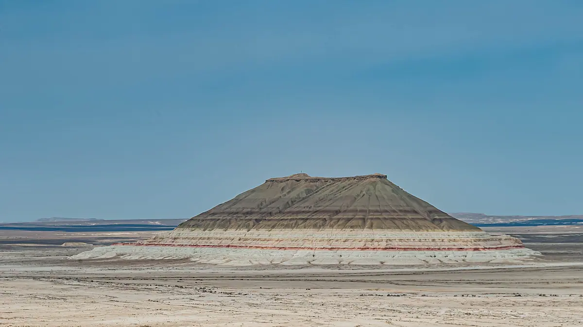
The Bokty cone
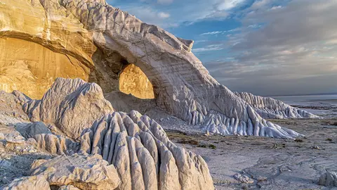
Its regular shape stands out on the grey clay plain: from afar it looks like a yurt or a pyramid, the tourism ministry says.
Layers at sunrise and sunset
White, yellow, reddish and brown bands read best at sunrise and sunset, according to kazakhstan.travel.
Kyzylkup next door
The coloured Kyzylkup tract lies about 7 km north of Bokty, so the two often go together on one trip.
Kyzylsay park fees
Since 1 September 2026 trails cost 0.2 MCI a day and camping 0.1 MCI. Foreign visitors pay double.
Mount Bokty in Mangystau in photos
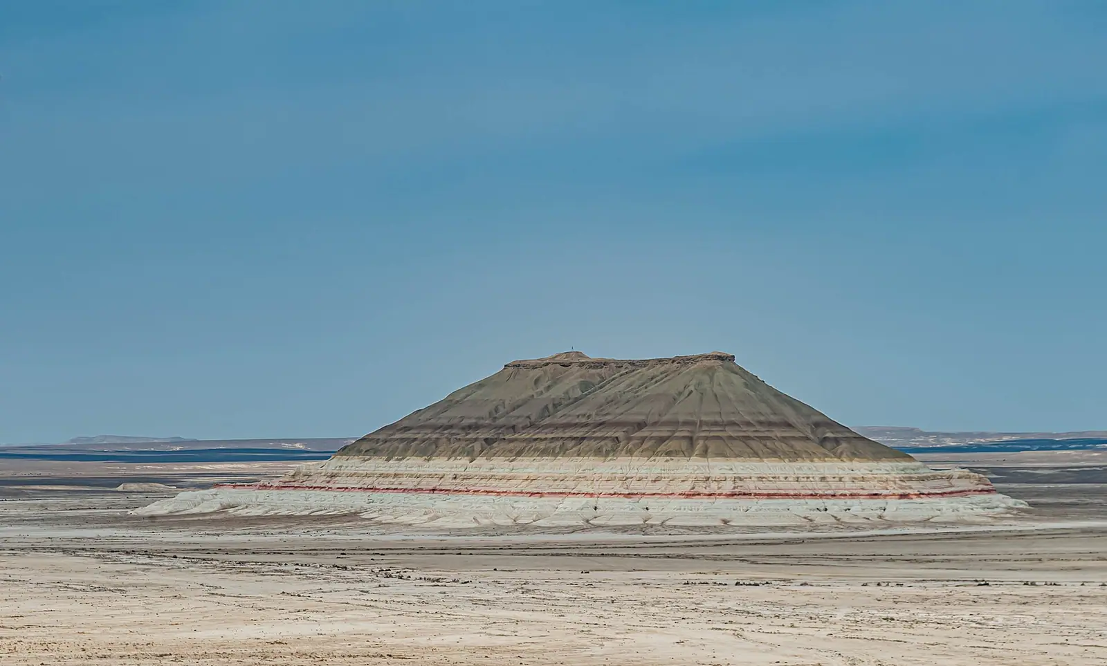
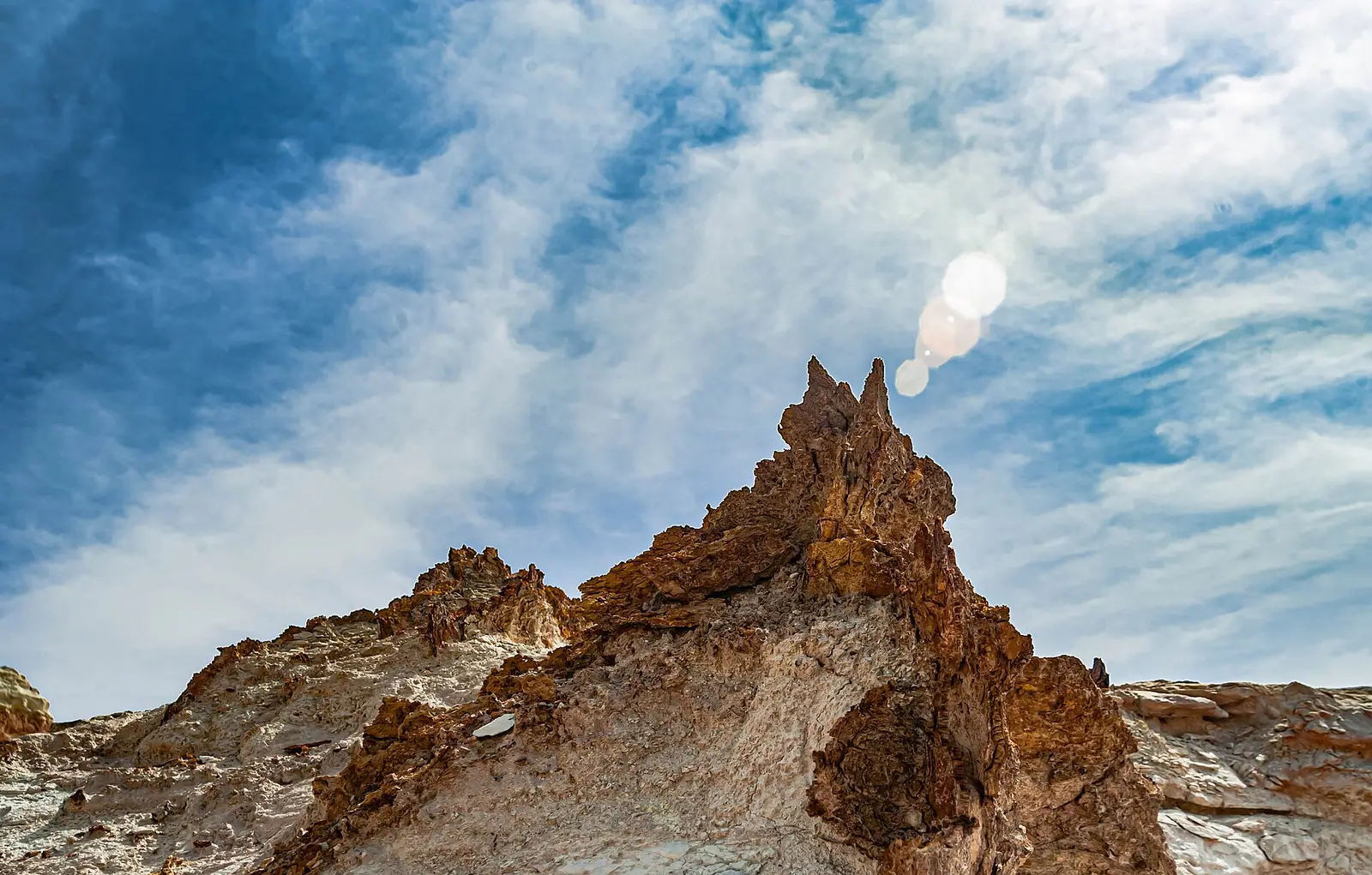
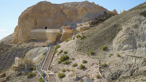
Real photos by travellers (Pexels, Unsplash, Wikimedia Commons); author and licence are given in each caption.
Mount Bokty is a chalk cone 165 m high in Karakiya District, Mangystau, about 34 km from Senek village and 280–300 km from Aktau. “Bokty” means “pie” in Kazakh, for the white, yellow, reddish and brown bands on its slopes. It is a long day or an overnight from Aktau, and Kyzylsay park fees have applied since September 2026.
Quick facts
| Fact | Value | Source |
|---|---|---|
| Height | 165 m | Orexca |
| From Aktau | 280–300 km | Tourism ministry, 2026 |
| From Senek | about 34 km | kazakhstan.travel |
| Coordinates | 43.42249, 53.79967 | kazakhstan.travel |
What you will see
From afar the regular cone looks like a yurt or a pyramid, the ministry says. It stands on a grey clay plain, so the coloured layers read clearly, above all at sunrise and sunset. So camp nearby and shoot at first light if you can. The coloured slopes of Kyzylkup lie about 7 km to the north.
Getting there
We found no turn-by-turn route, only reference points: Senek and the road from Zhanaozen towards Beket-Ata.
- Fill up in Zhanaozen.
- Load the coordinates into an offline map, as the steppe has no signal.
- Use a prepared 4x4 with spares. Tengri Auto reckons only about 35% of regional routes are paved.
- If you do not drive, hire a car with a driver in Aktau.
It pairs with Beket-Ata and the Tuzbair salt flat. The Mangystau guide has the full itinerary.
Fees since 1 September 2026
| Service | Standard rate |
|---|---|
| Tourist trails, per person per day | 0.2 MCI |
| Campsite, per person per day | 0.1 MCI |
| Photography | 4.4 MCI |
| Video | 8.7 MCI |
Foreigners pay double. Convert with the fee calculator.
Orexca advises trekking shoes on the loose ground, plus sunglasses, a hat and water. Summer passes +40 °C, so aim for mid-April to late May or late September (Tengrinews, 2021).
Mount Bokty in Mangystau: tips before you go
- Fill up in Zhanaozen and load the coordinates into an offline map.
- Wear trekking shoes: Orexca says the ground is loose.
- Find out where to pay before leaving, as the report does not say.
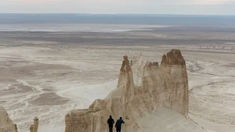
More to see nearby


Frequently asked questions
How far is Mount Bokty from Aktau?
Does Mount Bokty charge an entrance fee?
When should I photograph Bokty?
Sources
Read also
 Almaty Zoo in Kazakhstan: opening hours and how to visit
 Ayusai Gorge, Almaty: visitor centre and waterfall trail
 Gorelnik Gorge above Medeu: waterfalls, trail and season
 Kamenskoe Plateau above Almaty: observatory and trails
 Pervomaiskie Ponds near Almaty: location, swimming, season
 Saty village: base for the Kolsai and Kaindy lakes