Verified: 2026-10
The Black Canyon on the Charyn River (Aktogay): when to go, month by month
- January: possible
- February: possible
- March: possible
- April: best time
- May: best time
- June: best time
- July: good
- August: best time
- September: best time
- October: best time
- November: possible
- December: possible
April to June and August to October are the recommended months for the Aktogay canyon; it looks best in daylight.
The Black Canyon on the Charyn River (Aktogay): why go
The Black Canyon from above
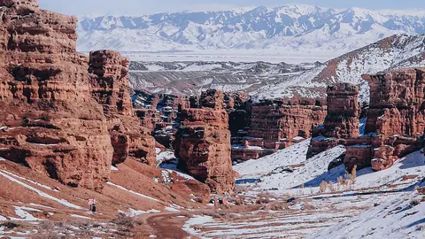
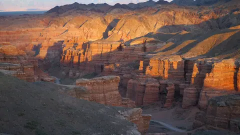
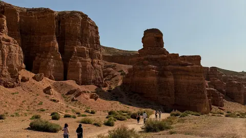
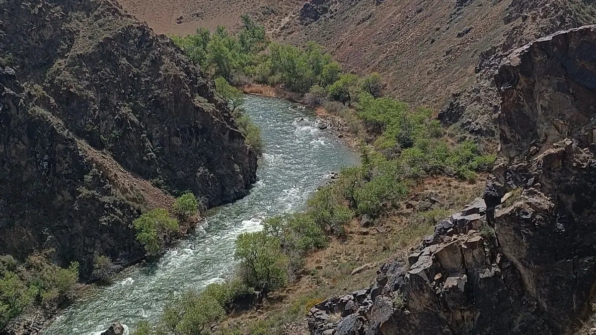
A narrow, deep cleft in the steppe: the river far below, multicoloured rock and, as one traveller describes it, snowy peaks on the horizon.
Aktogay, the Charyn's 'white stream'
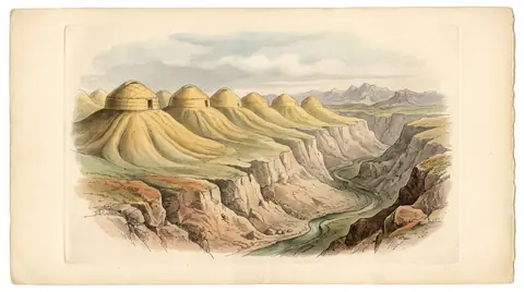
Semyonov-Tyan-Shansky recorded this name for the Charyn's foaming cascades, where the whole river turns into spray and silvery foam.
The Black Canyon on the Kolsai road
The viewpoint sits right by the road to Saty and the Kolsai Lakes: the car park is an easy turn-off, and no 4x4 is needed to reach it.
The Black Canyon rim is fenced
By 2025 the viewing area had been ringed with a high fence: people no longer pose on the very edge as they once did — and shouldn't.
The Black Canyon on the Charyn River (Aktogay) in photos
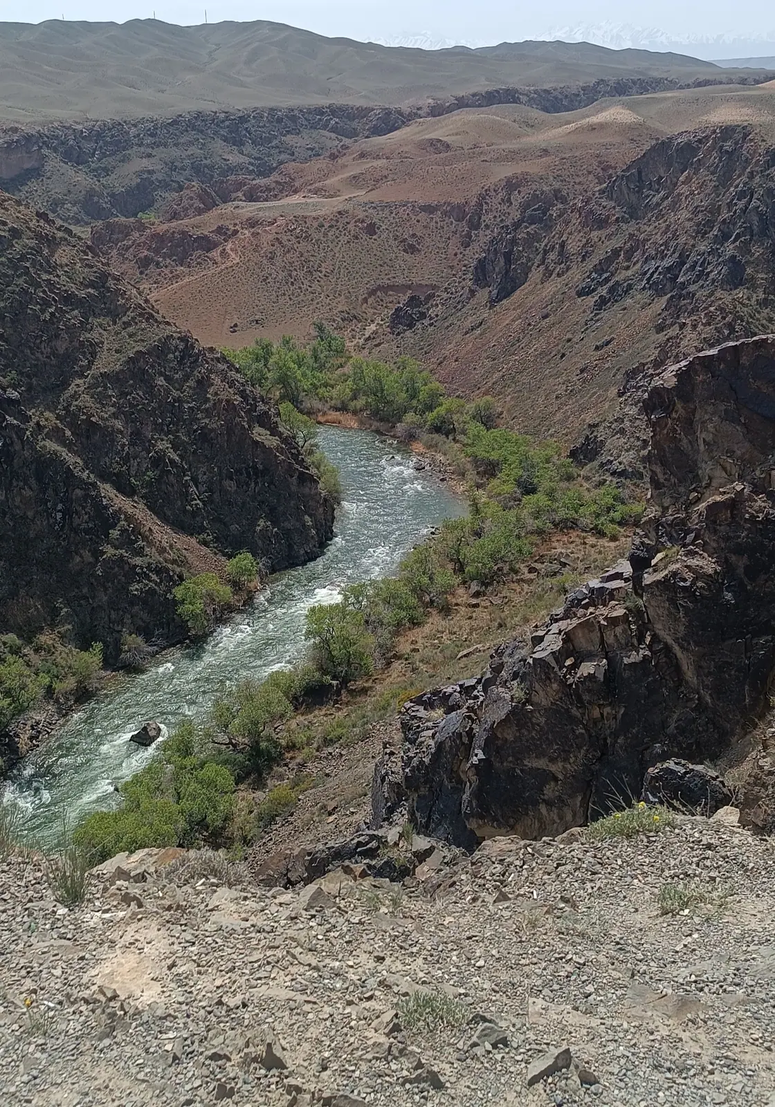
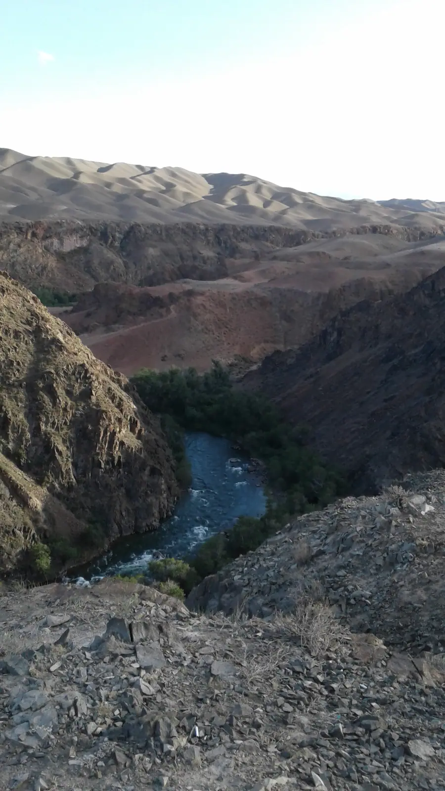
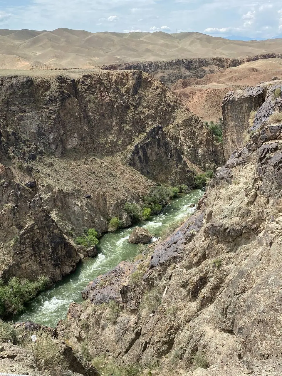
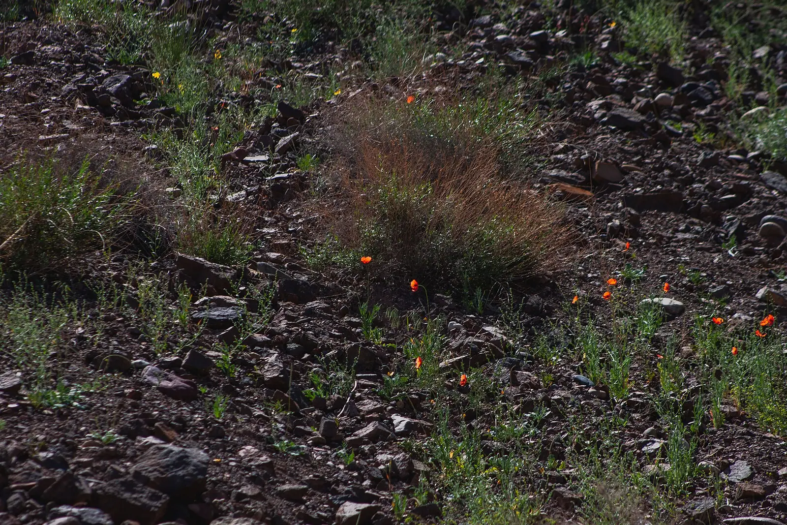
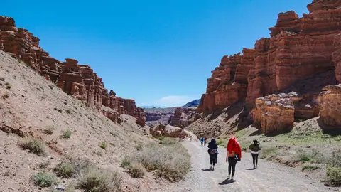
Real photos by travellers (Pexels, Unsplash, Wikimedia Commons); author and licence are given in each caption.
The Black Canyon is a stretch of the Charyn River valley with dark, sheer walls, and most travellers see it from a roadside viewpoint on the way from Almaty to the Kolsai Lakes. It is a stop of about half an hour, not a hike: an ordinary car gets you there, and you look into the canyon from the rim. Wikipedia describes this stretch of the river as the Aktogay Canyon. Another little-visited part of the system is Moon Canyon.
What the Black Canyon is, and where it sits
The Black Canyon is part of the Charyn canyon system, but not the part on most postcards. The viewpoint is in Kegen District of Almaty Region, about 20 km in a straight line southwest of the Valley of Castles. A blogger who visited in April 2025 describes a narrow, deep cleft in the steppe, with the river far below and rocks of many colours. He could not find out why it is called black; AIR Press (October 2026) writes of “dark sheer walls above the river”.
The name changes from source to source. OpenStreetMap labels the viewpoint Black canyon, while the coordinates of the Wikipedia article on the Aktogay Canyon lie 4.4 km from it. In 2024 the TV channel 24.kz called the place “Qara shatqal” (Black Gorge) and said locals know it as Kortogay. We could not confirm whether this is the same as the Kurtogay area on our page about the other Charyn canyons.
Key figures:
| Parameter | Value |
|---|---|
| Where | Kegen District, Almaty Region, Charyn River |
| From Almaty | about 163 km in a straight line east (by the viewpoint’s coordinates) |
| From the Valley of Castles | about 20 km in a straight line southwest |
| Width | up to 3 km (English Wikipedia); 300–535 m near the Aktogay area (Silk Road Adventures) |
| Depth | 200–300 m (English Wikipedia); 98 m from rim to riverbed near the Aktogay area (Silk Road Adventures) |
| Elevation of the Aktogay area | 1,195–1,201 m above sea level |
| Status | part of Charyn National Park, according to Wikipedia |
The river that cut it: nature and history
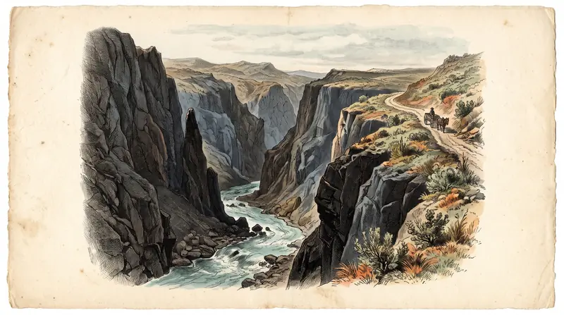
In its upper reaches the Charyn is called the Kegen. According to Russian Wikipedia, below the mouth of its left tributary, the Karkara, the river enters a narrow valley, the Aktogay Canyon, and from there flows on as the Charyn through the Kurtogay and Sarytogay canyons before reaching the Ili valley. In the Zhalanash valley the canyon takes on a trapezoid profile.
The first scientific account of the Charyn valley, Wikipedia says, came from Pyotr Semyonov-Tyan-Shansky after his journey of 1856–1857. He wrote of three Merke streams that had cut up to 200 m into the plateau, and of the Charyn’s stormy, cascading flow known as Aktogoy, the “white stream”, where the water turns into foam and spray. That is the usual origin given for the name Aktogay, although Silk Road Adventures translates it as “white forest”.
Wikipedia places the Aktogay Canyon in Charyn State National Nature Park, founded in 2004; our Charyn Canyon overview covers the park as a whole. It spans 127,050 hectares, and in June 2026 the Forestry and Wildlife Committee noted that it belongs to the UNESCO World Network of Biosphere Reserves. The committee lists 34 species of mammals, 18 of reptiles, 4 of amphibians and about 246 of birds, with Red Book species including the goitered gazelle, the Turkestan lynx, the Pallas’s cat and the Central Asian otter. At a busy roadside viewpoint with a café your chances of seeing them are slim, though binoculars in the car cost nothing.
Some sources place the canyon in Raiymbek District, others in Kegen District. Kegen District was re-established on 2 April 2018, carved out of Raiymbek District (Wikipedia), so older texts still use the former name. The English article on the Aktogay Canyon lists three districts at once, Uygur, Raiymbek and Enbekshikazakh, which are the districts the national park lies in. For navigation none of this matters: follow the road to Saty and Kolsai.
Getting there from Almaty: the Kolsai road
You reach the Black Canyon by car, usually on the way to the Kolsai Lakes: according to 24.kz and the blogger, the viewpoint is right beside the road, though not on the shortest route to Saty. We found no regular public transport to the canyon, so plan to travel by car. This is the route by Kolesa.kz’s odometer (2020), starting from the beginning of Pervomayka in Almaty:
| Stage | Odometer reading | Road |
|---|---|---|
| Turn onto the Almaty–Khorgos highway | 10.2 km | toll motorway |
| Shelek interchange: right, towards Narynkol | 122.8 km | asphalt |
| Start of the Kokpek gorge | 150.2 km | old asphalt |
| Fork: straight on (left goes to Chundzha) | 170.1 km | asphalt |
| Crossroads: right, towards Zhalanash | 198 km | asphalt |
| Saty village (base for Kolsai) | 263.4 km | asphalt |
The canyon is not on this road to Saty: by OpenStreetMap coordinates the viewpoint (the point labelled Black canyon) is about 44 km in a straight line east-northeast of Saty and 36 km northwest of Kegen. It is a detour, so set your navigation app to that point. Fill up in Almaty: Kolesa.kz describes the petrol station at km 4.2 as the last proper one on the whole route.
The rest of the drive is covered on our pages about the Kolsai Lakes and Lake Kaindy; the road to the Valley of Castles is in how to get to Charyn Canyon.
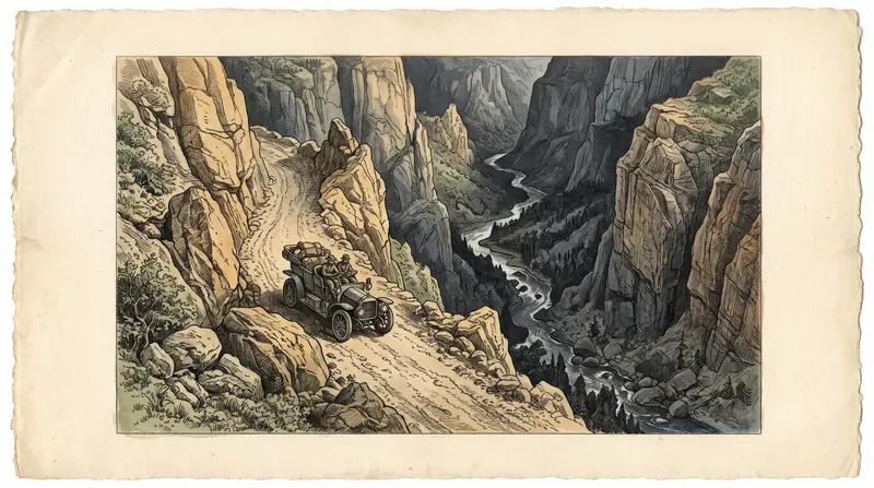
No 4x4 needed for the main viewpoint
A regular car is enough for the main viewpoint: the blogger (April 2025) says the road passes right next to it and pulling into the car park is easy. Kolesa.kz describes the road to Saty as asphalt of varying quality.
The more distant panoramic points are a different case. Silk Road Adventures writes of about four of them, reached by dirt tracks of 600 m to 2 km from the Kegen–Saty road to the north. We could not confirm their condition in 2026. If the Aktogay Canyon is inside Charyn National Park, the park rule applies: drive only on public roads and the roads of excursion routes, never off into the steppe (see the visitor rules).
What you see in half an hour at the rim
The point of stopping is the view from above: a deep cleft, the river at the bottom and, as the blogger describes it, snowy peaks on the horizon. He mentions a café, picnic spots and benches at the tourist area, and about 30 minutes is usually enough.
The site is changing. In November 2024, 24.kz reported that electricity had been brought to the canyon from the local budget, and that an investor planned a glass suspension bridge, a tent camp, three cottages, three restaurants and glamping on 5.5 ha, with work due to finish in Q4 2025. The same report says about 400,000 tourists visited Kolsai and Kaindy in the first nine months of 2024, and many of them stopped at the canyon, so expect company at the rim.
Most people treat the canyon as a break on the way to the lakes: Saty, the base for both Kolsai and Kaindy, is about 44 km in a straight line west-southwest of the viewpoint. A two- or three-day route combining Charyn, Kolsai and Kaindy is laid out in what to see near Charyn.
When to go: spring and early autumn
April to June and August to October are the periods Russian Wikipedia recommends for the Aktogay Canyon, and it adds that the canyon looks most striking in daylight. Plan the stop for the daytime leg of your drive rather than an evening arrival. The nearest weather station with published climate normals is Zhalanash, at 1,698 m, about 30 km in a straight line southwest of the viewpoint.
Day high, °C / Night low, °C · Rain/snow, mm
The station is at 1,698 m, about 30 km southwest of the viewpoint; the Aktogay area lies at about 1,200 m, some 500 m lower, so the canyon is usually warmer. We found no source for an exact correction.
Monthly figures
| Month | Day high, °C | Night low, °C | Rain/snow, mm |
|---|---|---|---|
| Jan | -1.1 | -10.9 | 14.6 |
| Feb | 0.3 | -9.4 | 18.4 |
| Mar | 5.9 | -3.7 | 33.4 |
| Apr | 13 | 2.4 | 58.5 |
| May | 17.6 | 6.6 | 77.6 |
| Jun | 21.8 | 10.4 | 74.7 |
| Jul | 24.3 | 12.2 | 69.5 |
| Aug | 23.8 | 11.3 | 55.7 |
| Sep | 19.2 | 7.3 | 39.1 |
| Oct | 12.3 | 1.6 | 43.9 |
| Nov | 5.5 | -4.1 | 33.3 |
| Dec | 0.8 | -8.9 | 20.6 |
Source: WMO Climate Normals 1991–2020: Zhalanash (36899) — NOAA NCEI
Silk Road Adventures puts the Aktogay area at about 1,200 m, some 500 m below the station, so the canyon is usually warmer than the Zhalanash figures suggest; no source gives an exact correction. The wettest months at the station are May to July.
The rim is the main danger
You look at the canyon from the edge of a sheer wall, and the edge itself is the hazard. The blogger notes that a few years ago people crowded the drop for photos, and that by 2025 the tourist area had been ringed with a high fence.
- Do not climb round the fence for a photo, and keep away from the rim at informal parking spots where there is no fence.
- Hold children’s hands: with a café and crowds at the viewpoint, attention wanders easily.
- Do not scramble down to the river off-trail: according to Silk Road Adventures the Charyn here has high-grade rapids.
- Do not light fires outside designated places: the visitor rules ban this in Charyn National Park.
Fees: unclear, so keep a receipt
We found no separate fee for the Black Canyon. Wikipedia places the Aktogay Canyon inside Charyn National Park, where fees are set as fractions of the MCI: 0.2 MCI per person per day, plus a separate charge for bringing in a car (breakdown and calculator on our Charyn prices page). Yet in June 2026 the Forestry and Wildlife Committee listed the park’s four tourist routes, “Charyn Ash Grove”, “Charyn Canyon – Valley of Castles”, “Burial grounds and kurgans” and “Temirlik – Small Canyon”, and the Black Canyon is not among them. If someone asks you to pay at the viewpoint, ask who is collecting the money and on what basis, and keep the receipt.
What else is nearby
- Charyn Canyon and the Valley of Castles: about 20 km in a straight line.
- Temirlik, Bestamak and the other Charyn canyons.
- The Sarytogay ash grove.
- The Kolsai Lakes and Lake Kaindy: further along the same road.
The Black Canyon on the Charyn River (Aktogay): tips before you go
- Fill up in Almaty: Kolesa.kz says the last proper petrol station is on the way out of the city.
- Do not climb round the fence for a photo, and keep hold of children near the edge.
- Combine the stop with Kolsai and Kaindy: Saty is further along the same road.
More to see nearby


Frequently asked questions
Where is the Black Canyon?
How do I get to the Black Canyon from Almaty?
Do I need a 4x4 to reach the Black Canyon?
How deep is the Black Canyon?
Is there an entry fee for the Black Canyon?
When is the best time to visit the Black Canyon?
Are the Black Canyon and Charyn Canyon the same thing?
Sources
- OpenStreetMap: Kegen, way 38804393
- OpenStreetMap: Saty, way 38804464
- Aktogay Canyon — Wikipedia
- Каньон Актогай — Википедия
- Чарын (река) — Википедия
- Charyn National Park — Wikipedia
- Кегенский район — Википедия
- Урочище Актогай на реке Чарын — Silk Road Adventures
- Black canyon (viewpoint) — OpenStreetMap, node 1328316042
- Алматы облысында әйнектен көпір салынады — 24.kz, 04.11.2024
- Маршрут выходного дня: Кольсай и Каинды — Kolesa.kz, 26.06.2020
- Чарынский каньон: как добраться, что посмотреть и сколько стоит поездка в 2026 году — AIR Press, 18.10.2026
- Казахстан: Чёрный каньон — moonwalker004 blog (LiveJournal), 22.04.2025
- Шарын — удивительное творение природы и времени — Forestry and Wildlife Committee, Ministry of Ecology of Kazakhstan, 18.06.2026
- WMO Climate Normals 1991–2020: Zhalanash (36899) — NOAA NCEI