Verified: 2026-10
Big Almaty Peak: when to go, month by month
- January: off season
- February: off season
- March: off season
- April: off season
- May: off season
- June: good
- July: good
- August: good
- September: best time
- October: good
- November: possible
- December: off season
July–August brings storms and rockfall after rain; September–October is quieter but frosty at night. Winter is for the experienced only.
Big Almaty Peak: why go
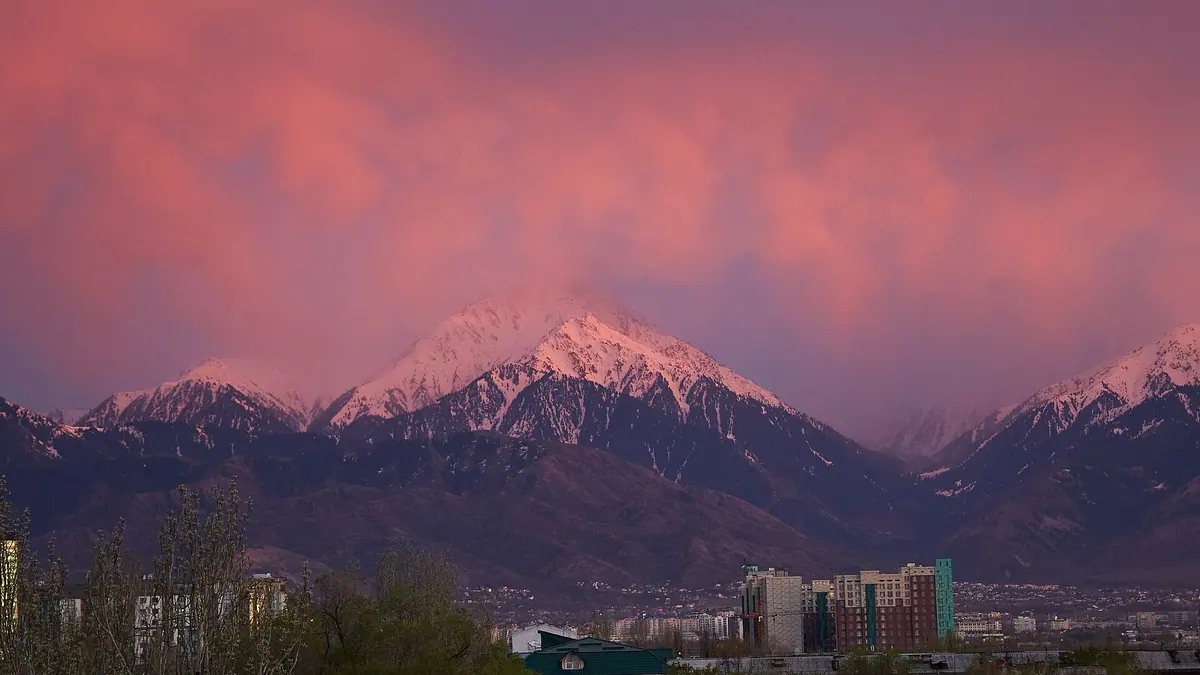
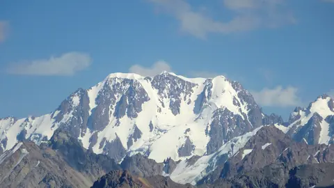
The Big Almaty Peak pyramid
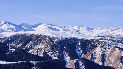
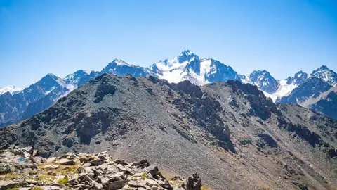
A 3,680 m summit 15 km from Almaty, scree below and rock above; on clear days it shows from almost anywhere in the city.
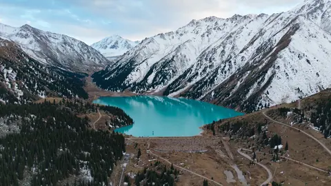
Big Almaty Lake from the peak
The route passes Big Almaty Lake at 2,511 m; from the top you see its turquoise bowl, Prokhodnoy Pass and Tourist Peak.
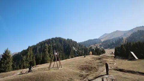
Observatory and Kosmostantsiya
The Tien Shan Observatory sits on the slopes at about 2,735 m, Kosmostantsiya at Zhosalykezen Pass at 3,200–3,300 m; both are restricted.
Big Almaty Peak without ropes
In summer there is no technical climbing, but steep scree and hands-on sections call for fitness and experience on rocky ground.
Big Almaty Peak in photos
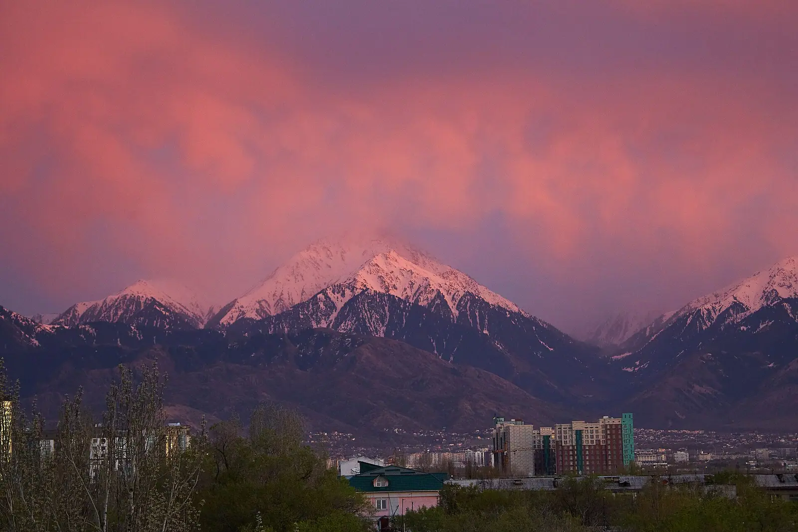
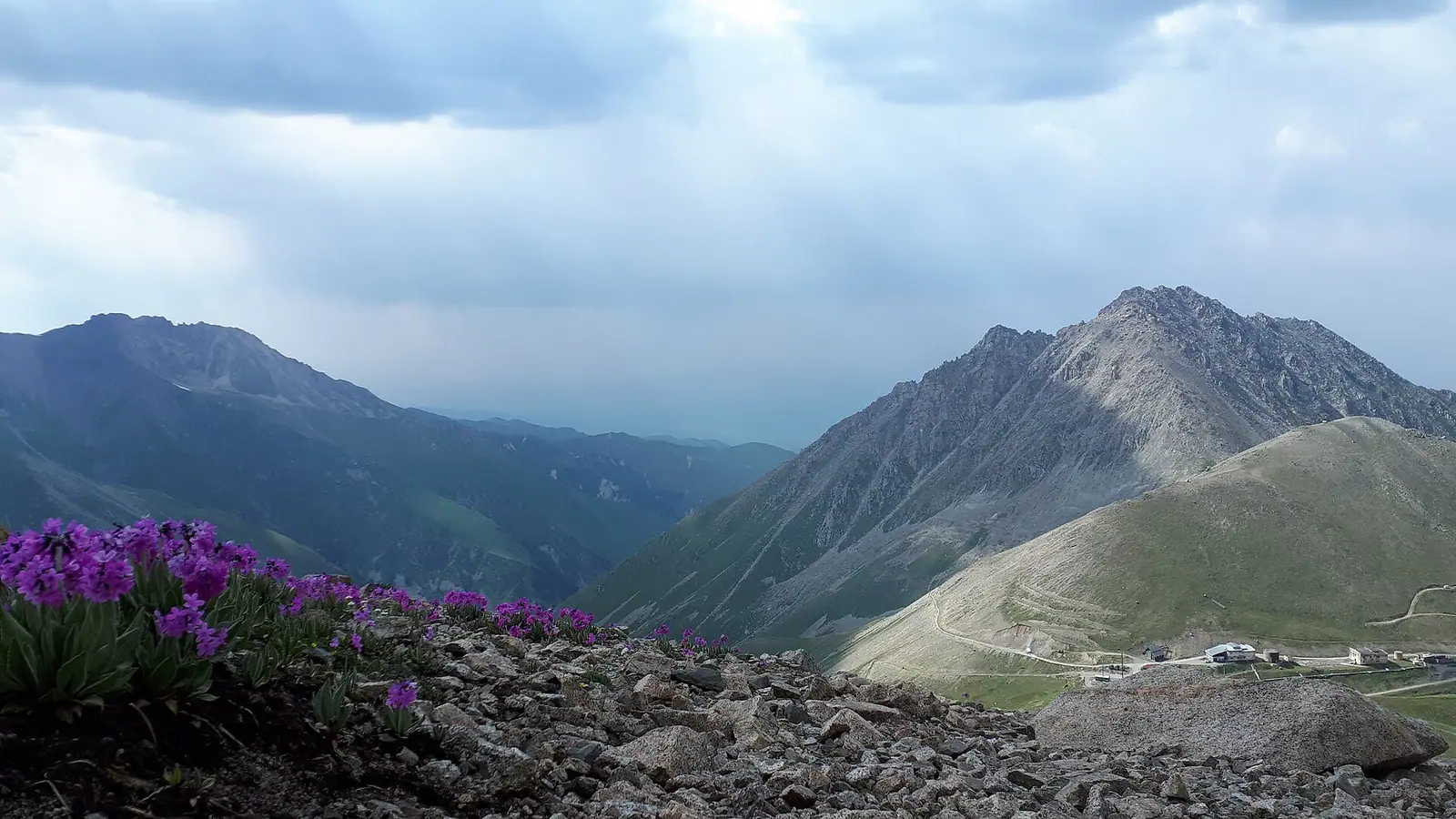
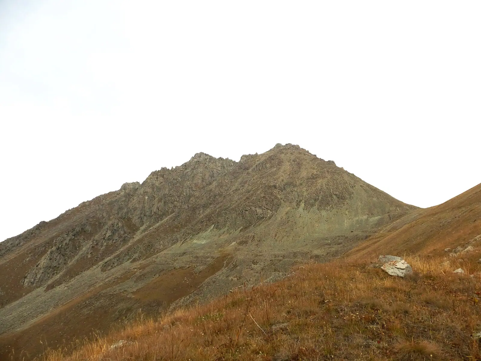
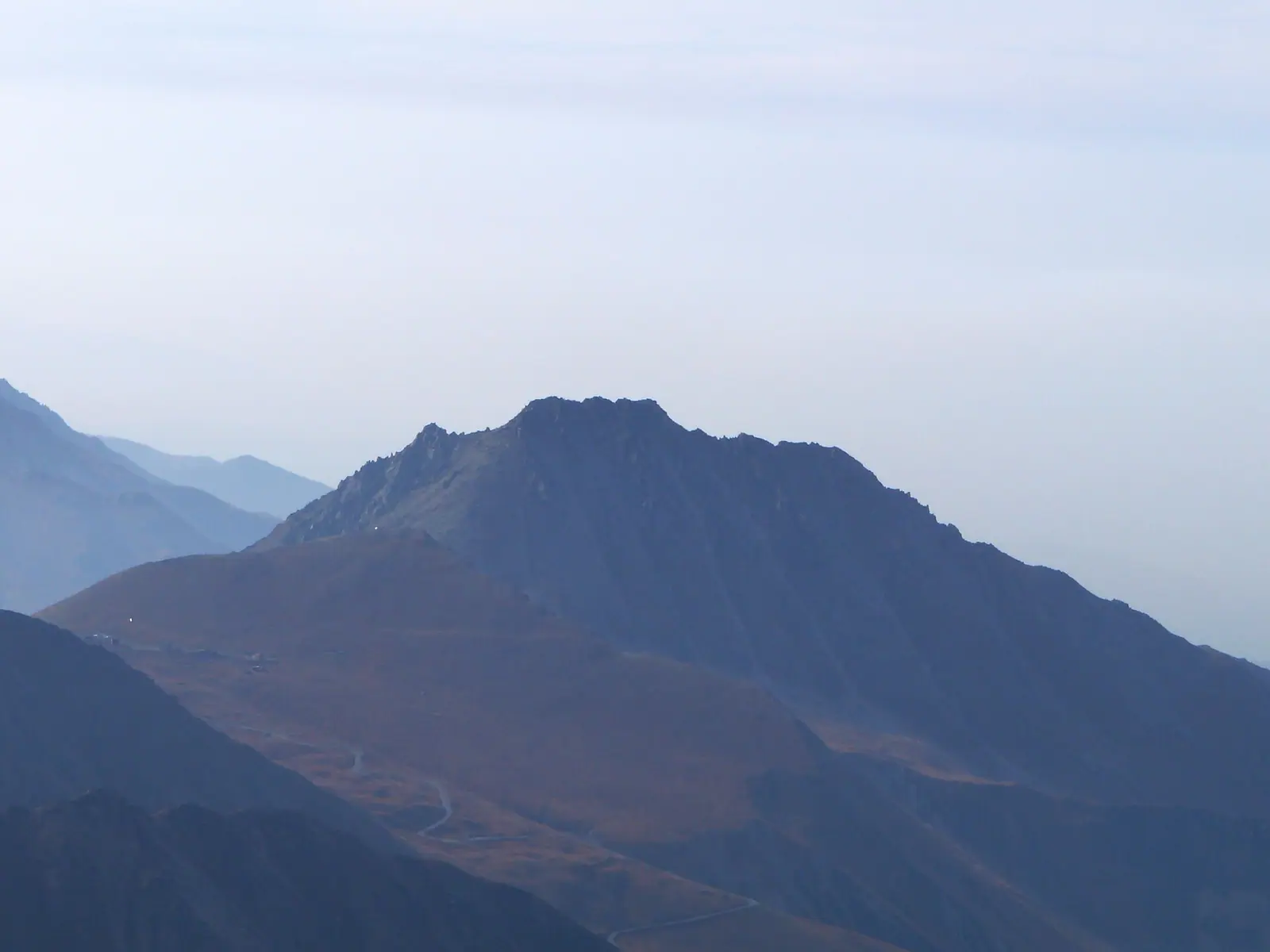
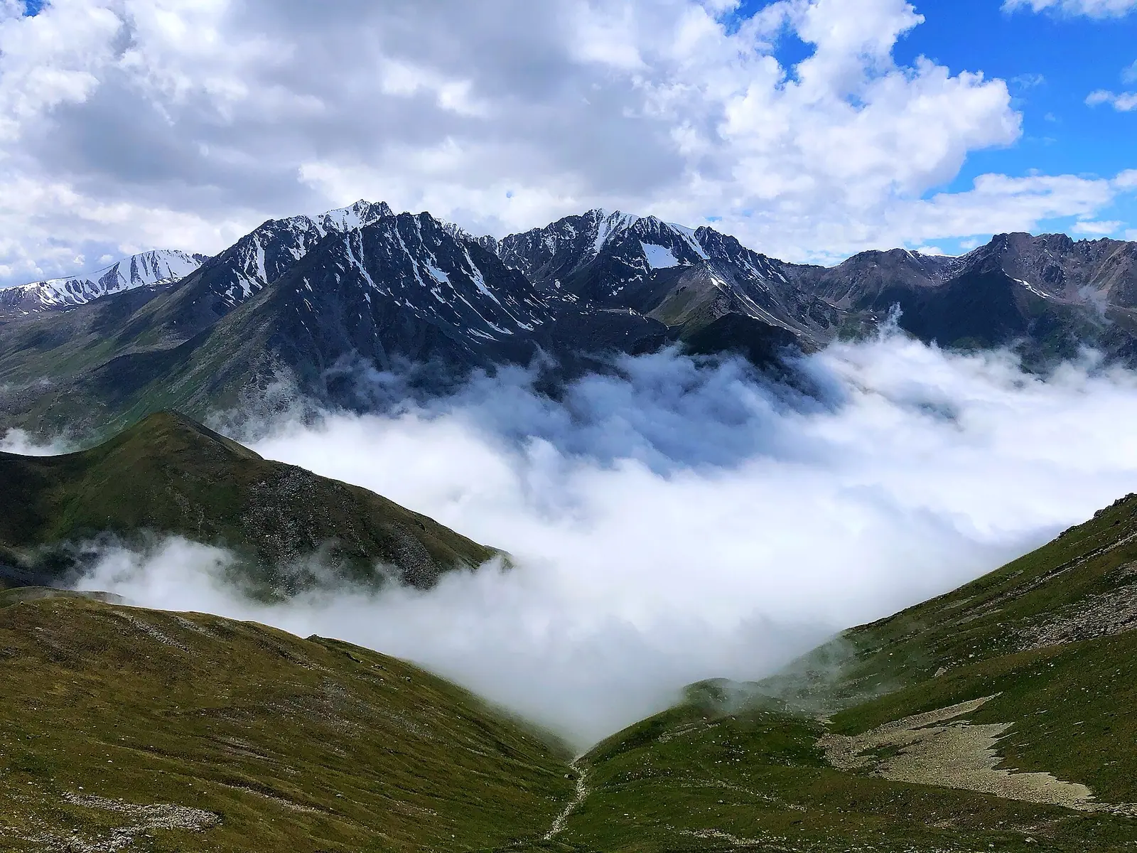
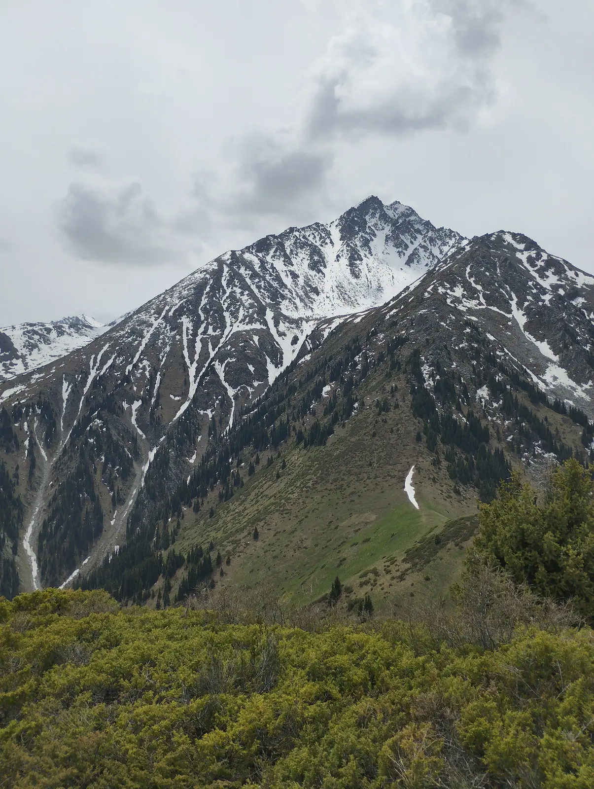
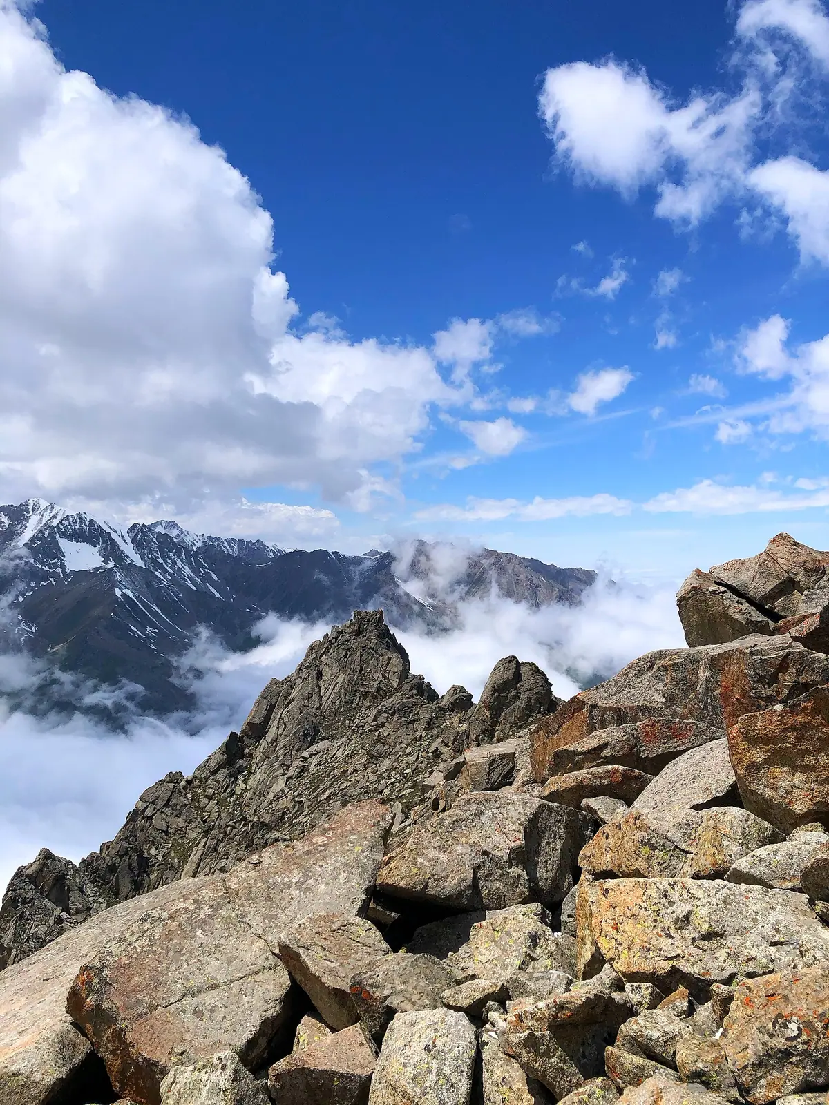
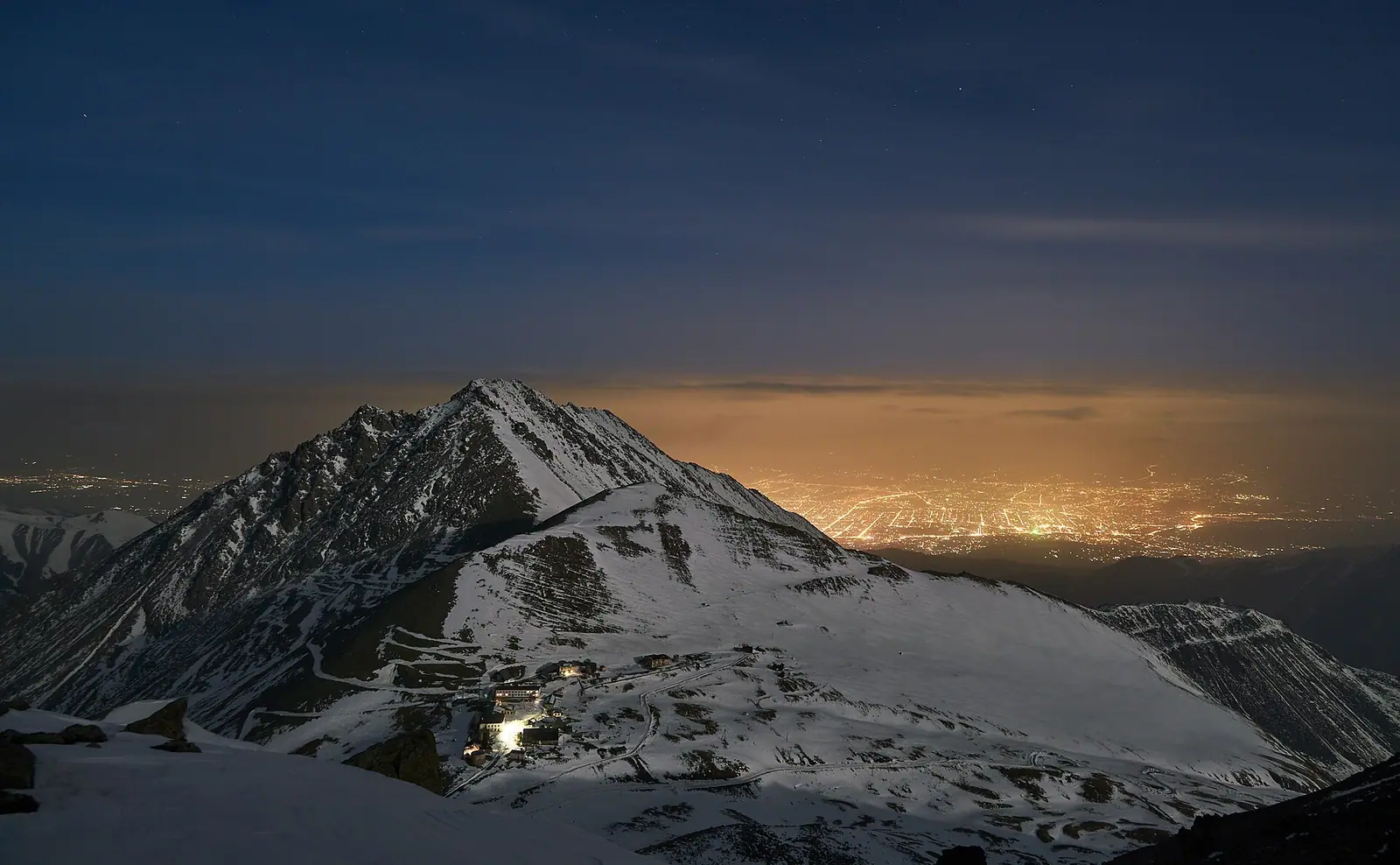
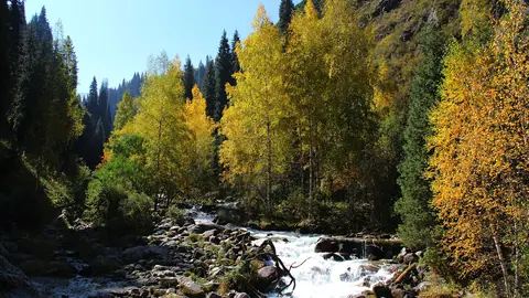
Real photos by travellers (Pexels, Unsplash, Wikimedia Commons); author and licence are given in each caption.
Big Almaty Peak, known locally as BAP, is a 3,680 m pyramid above Big Almaty Lake, about 15 km from Almaty, and on a clear day you can see it from almost anywhere in the city. The summer route needs no ropes or technical climbing, but it is a hard day. The road to the lake has been closed to private vehicles since 2020, so the round trip from the lower checkpoint takes 12–15 hours on foot with more than 1.6 km of ascent.
Who it suits:
- Fit hikers can do the summer ascent on trail, scree and rock without ropes.
- Mountaineers and experienced hikers can try winter ascents or extend the route to the neighbouring Turist and Sovetov peaks.
- Anyone not ready for a 12-hour day can enjoy the peak from the road to the lake and from the city.
A scree-and-rock pyramid on the edge of Almaty
Big Almaty Peak stands on the northern slope of the Trans-Ili Alatau (also spelled Zailiysky Alatau). According to Wikipedia, it closes off its spur of the range. Big Almaty Lake lies below it to the east. To the west is the Prokhodnaya gorge, home to the Alma-Arasan hot springs. The lower part of the ridge is scree and the upper part is rock, and that shapes the whole climb.
The table gives the key numbers to plan around.
| Parameter | Value |
|---|---|
| Height | 3,680 m (Russian and English Wikipedia) |
| Distance from Almaty | about 15 km |
| Shape | pyramid: scree below, rock above |
| Neighbouring summit | Turist Peak, 3,954 m, to the south |
| Lake below the peak | Big Almaty Lake (BAO), about 2,511 m |
| Observatory on the slopes | Tien Shan Astronomical Observatory, about 2,735 m (Tengrinews) |
| Kosmostantsiya | Zhosalykezen Pass, 3,200 m (Sxodim) or 3,300 m (Sputnik8) |
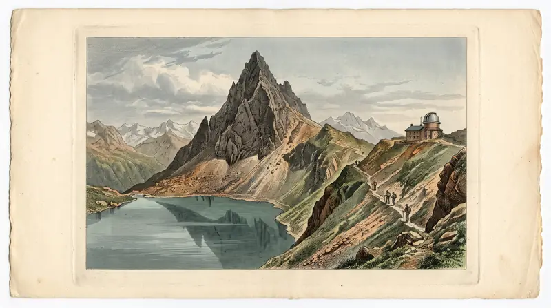
The Tien Shan Astronomical Observatory was built on the slopes of the peak. South of the summit, on Zhosalykezen Pass, are a weather post and a high-altitude cosmic-ray station. Locals call the station the Kosmostantsiya. Sources disagree on its altitude by about 100 m.
What changed in 2026: no more driving to the Kosmostantsiya
The short version of the climb is gone for independent travellers. Groups used to be driven up to the Kosmostantsiya, and from there the summit was just over three hours away. A 2022 hike programme on Sxodim shows how short that day was:
- 09:45: leave the Kosmostantsiya
- 13:00: reach the summit
- around 16:30: back at the car
In 2026 you should plan for a full day on foot instead. The table shows how the access rules tightened step by step.
| When | What happened |
|---|---|
| 4 August 2025 | temporary ban on all vehicles, including bicycles, on the road to the lake because of extreme fire danger (Tengrinews) |
| 30 April 2026 | the Medeu branch of Ile-Alatau National Park closed the road to private cars, motorcycles, e-scooters and e-bikes (Kursiv) |
| October 2026 | only service vehicles use the road: the park, border guards, meteorologists, research stations. Driving in without permission can lead to a fine (AIR Press) |
| late November–December 2026 (planned) | opening of a new 5.3 km footpath to the lake (AIR Press) |
For full details of the road rules, see the Big Almaty Lake page.
The summer route: checkpoint, lake, Kosmostantsiya, summit
The standard summer route in 2026 starts at the Edelweiss checkpoint, at about 2,000 m. It climbs past the lake and the Kosmostantsiya to the summit, according to Zabugorshiki. The section times below come from people who walk it as a day hike. Add them up before you commit: the descent alone takes 4–5 hours.
| Section | Time | What’s on the way |
|---|---|---|
| Edelweiss checkpoint → lake, on the trail along the water pipeline | 1.5–2 h | short, steep path, dry weather only |
| Lake → Kosmostantsiya | 2–2.5 h | climb above the lake, border post |
| Kosmostantsiya → summit | 2–3 h | scree ridge, then rock higher up where you use your hands |
| Descent to the checkpoint | 4–5 h | the same way |
| Total | 12–15 h | 22–26 km round trip; about 1,680 m of ascent, or 2,316 m by another figure on the same page |
The Zabugorshiki figures do not agree with each other. The hike summary gives 33.5 km and 2,316 m of ascent. The description gives 11–13 km one way and about 1,680 m. We show both because we could not confirm which is right.
For comparison, AIR Press says the road from the lower part of the gorge to the lake is about 15 km, or 4–6 hours uphill. The pipeline trail is shorter, about 10 km.
From the summit you see Prokhodnoy Pass and Turist Peak (Wikipedia), with the turquoise bowl of the lake below.
Getting to the trailhead from Almaty
You reach the start of the walk by city bus or taxi, because cars are not allowed beyond that point.
| How | To where |
|---|---|
| Bus No. 28 | Kokshoky terminus (AIR Press) |
| Taxi | GES-2 junction or the lower national park checkpoint (AIR Press) |
| On foot | Edelweiss checkpoint, about 2,000 m: start of the trail along the water pipeline (Zabugorshiki) |
Bus 28 leaves from the First President’s Park area. AIR Press advises checking the current timetable in 2GIS or the city transport app. Take an early bus, because the route needs a full day of daylight.
Carry your passport, since there is a border post between the lake and the Kosmostantsiya. According to Zabugorshiki, no separate border-zone pass is needed for this peak. For more on the rules, see our article on the border zone.
When to climb: June to October for most hikers
The practical season runs from June to October. AIR Press describes the seasons at the lake like this:
- May–June: snow still lies on the slopes.
- July–August: warm, but thunderstorms and rockfall can follow rain.
- September–October: fewer people, but frosty nights.
- November–April: the road is under snow and avalanche danger is high.
Welcome.kz gives June to November as the best period. Zabugorshiki says a winter ascent is possible but noticeably harder and only for experienced climbers.
The nearest station with an open climate table is Almaty, at about 850 m. The summit is almost 2.8 km higher, so treat the figures below as a guide to how the seasons run, not as the weather on the ridge. Expect it to be colder up high than these numbers suggest.
Day high, °C / Night low, °C · Rain/snow, mm
The station is in the city at 847 m; the summit is at 3,680 m, almost 2.8 km higher. We found no source for an altitude correction: the ridge is much colder, so use the figures only for the run of the seasons.
Monthly figures
| Month | Day high, °C | Night low, °C | Rain/snow, mm |
|---|---|---|---|
| Jan | 0.5 | -8.1 | 34.7 |
| Feb | 2.7 | -6.2 | 42.6 |
| Mar | 9.9 | -0.2 | 72.4 |
| Apr | 17.8 | 6.8 | 112.4 |
| May | 22.9 | 11.5 | 98.7 |
| Jun | 27.9 | 16.4 | 59 |
| Jul | 30.5 | 18.6 | 42.9 |
| Aug | 29.7 | 17.3 | 33.5 |
| Sep | 24.5 | 12 | 27.8 |
| Oct | 16.9 | 5.3 | 49.8 |
| Nov | 8.1 | -1 | 55.3 |
| Dec | 2 | -6.1 | 44.3 |
Source: Almaty — Wikipedia (Climate data for Almaty, 1991–2020; Pogoda.ru.net, NOAA)
How hard it is, and who should try something else
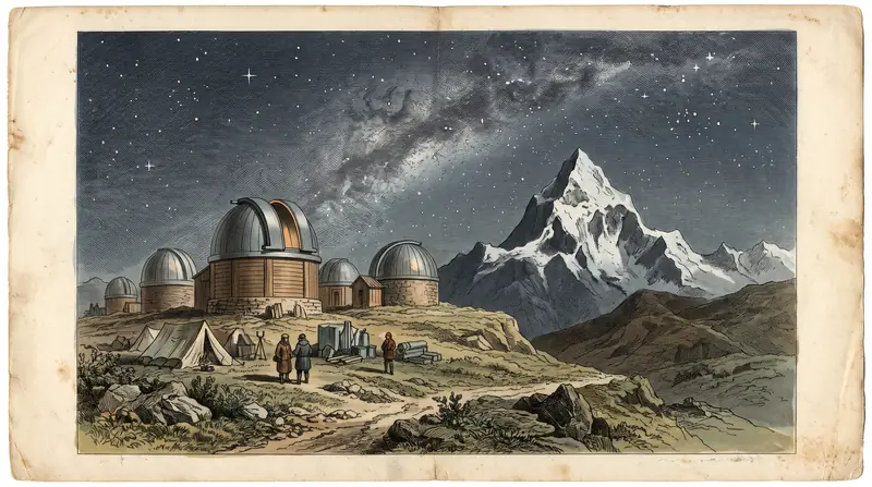
For hikers. In summer there is no technical climbing and no mountaineering gear is required (Zabugorshiki; Welcome.kz). It is still not a walk. Zabugorshiki calls it the toughest day hike in its range around Almaty: you must be steady on steep, loose scree and use your hands in places. Welcome.kz asks for good fitness and experience on steep, rocky slopes. If you have never spent 12 hours walking in the mountains, start with a hike to Big Almaty Lake.
If the climb is not for you. According to Wikipedia, on a clear day the pyramid is visible from almost anywhere in Almaty. The walk to the lake brings you closest, with the ridge rising above the water. AIR Press says the lake may only be viewed from the viewpoints by the road. West of the peak, the Prokhodnaya gorge with the Alma-Arasan hot springs is served by the same bus 28. The shortest option near the Kokshoky terminus is Ayusai Gorge, where a 1.9 km trail runs from the visitor centre to three waterfalls.
For mountaineers and experienced hikers. In winter the ascent is noticeably harder and suits experienced climbers only (Zabugorshiki). In summer the same source describes a two-day option: a night near the Kosmostantsiya, then a second day on Turist Peak (3,954 m). Higher still is Sovetov Peak (4,317 m), about 9 km one way from the lake with about 1,800 m of ascent. Sxodim warns plainly that this route is not for beginners.
Fees and documents: a park fee, no summit fee
There is no separate fee for the summit. The route crosses Ile-Alatau National Park, which charges walkers under Order No. 232:
- Rate: 0.15 MCI per pedestrian. MCI stands for Monthly Calculation Index.
- Amount: the fee calculator works it out for the current year.
- Payment: at the checkpoint or through banking apps, according to AIR Press.
- Documents: an ID card or passport, and a birth certificate for children.
We do not quote prices for organised hikes. We found no dated 2026 prices in open sources.
The real risks: weather, loose rock and a long descent
The main dangers here are the weather, the rocks and fatigue on the way down, not the altitude.
- Weather. Zabugorshiki says cloud here turns to “milk” within minutes, and the southern ridge has exposed sections. Stone cairns are hard to spot in cloud, so without an offline track it is easy to lose the trail.
- Gear and supplies. Organisers (Sxodim, 2022) ask for trekking boots and warm layers. We found no shops or cafés on the way to the lake, so carry water and food for the whole day. Bring a warm jacket and a rain shell even in summer: July and August bring thunderstorms, and September and October have frosty nights (AIR Press).
- Scree. Loose stones are dangerous on the descent, especially when wet and when you are tired.
- Avoid the Ayusay gorge on the way down. Zabugorshiki warns that accidents have happened there.
- Timing. With 12–15 hours on the route, start as early as possible, or you will be descending at dusk.
- Restricted sites. The observatory and the Kosmostantsiya are restricted areas with no casual visits.
Our checklist what to check before you go covers the rest of your preparation.
Near Big Almaty Peak
- Big Almaty Lake: the route passes it, and it is a good goal for a first hike.
- Alma-Arasan: hot springs in the neighbouring Prokhodnaya gorge.
- Talgar Peak: the highest point of the Trans-Ili Alatau, strictly for mountaineers.
- Kok-Zhailau: a plateau for an easier day hike.
- Nature near Almaty: 15 day trips.
Big Almaty Peak: tips before you go
- Start as early as you can: from the Edelweiss gate to the summit and back takes 12–15 hours.
- Carry your ID: there is a border post between the lake and Kosmostantsiya.
- Don't descend via the Ayusay gorge, where accidents have happened; go back the way you came.
- Save an offline track: in cloud the stone cairns are hard to see.
More to see nearby


Frequently asked questions
How high is Big Almaty Peak?
How do you climb Big Almaty Peak?
How long does it take to reach the summit of Big Almaty Peak?
Can you drive to the Kosmostantsiya?
Do you need mountaineering gear for BAP?
How much does it cost to climb Big Almaty Peak?
When is the best time to climb Big Almaty Peak, and can you go in winter?
Sources
- Большой Алматинский пик — Википедия
- Big Almaty peak — Wikipedia
- Big Almaty Peak through the Terra Field / day hike — Zabugorshiki
- Big Almaty Peak Hiking Tour — Welcome.kz
- Тур над облаками: поход на БАП — Sxodim, 10.10.2022
- Большой Алматинский пик — Sputnik8
- На озеро БАО больше не пустят на личных авто и самокатах — Курсив, 30.04.2026
- Большое Алматинское озеро в 2026 году: как добраться до БАО и что изменилось — AIR Press, 18.10.2026
- National park explains renewed transport ban at Big Almaty Lake — Tengrinews, 21.08.2025
- Ближе к звёздам (Тянь-Шаньская обсерватория) — Tengrinews, 02.08.2017
- Восхождение на пик Советов (4317 метров) — Sxodim
- Приказ Министра экологии и природных ресурсов РК от 02.10.2024 № 232
Read also
 Almaty Zoo in Kazakhstan: opening hours and how to visit
 Ayusai Gorge, Almaty: visitor centre and waterfall trail
 Gorelnik Gorge above Medeu: waterfalls, trail and season
 Kamenskoe Plateau above Almaty: observatory and trails
 Pervomaiskie Ponds near Almaty: location, swimming, season
 Saty village: base for the Kolsai and Kaindy lakes