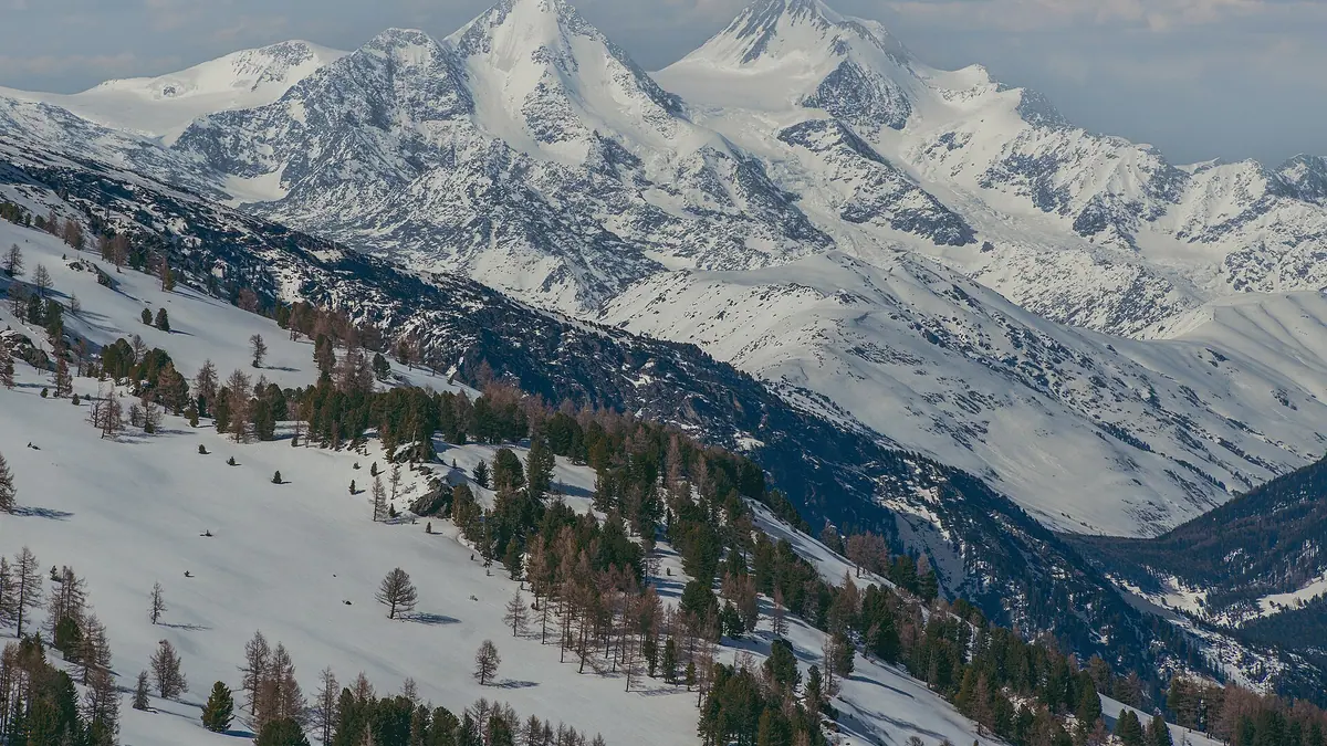
Belukha Mountain, the highest point of the Altai on the Kazakhstan–Russia border: when to go, month by month
- January: off season
- February: off season
- March: off season
- April: off season
- May: off season
- June: possible
- July: good
- August: good
- September: possible
- October: off season
- November: off season
- December: off season
We have no climate figures for the massif, so this rating reflects only its glaciated, 4,500 m high-mountain nature, where summer is the realistic window.
Belukha Mountain, the highest point of the Altai on the Kazakhstan–Russia border: why go
Belukha's summits
A multi-peaked massif whose highest points range from about 4,350 m to just over 4,500 m, the top of the Altai and the South Siberian Mountains.
Belukha's 1914 first ascent
The Tronov brothers reached the top in 1914, and most climbs of the eastern peak still follow the southern route they used.
A remote approach
About 284 km in a straight line from Oskemen and far more from Almaty; Wikipedia stresses that much time and planning are needed just to reach it.
Permanent ice on Belukha
The slopes carry permanent snow and ice, with Berel the largest glacier according to the Kazakh article, so conditions can be demanding.
Ice that stores 5,000 years
Ice cores drilled to bedrock on Belukha Glacier in 2001–2003 may hold 3,000–5,000 years of climate and environmental records, by tritium dating.
Belukha Mountain, the highest point of the Altai on the Kazakhstan–Russia border in photos
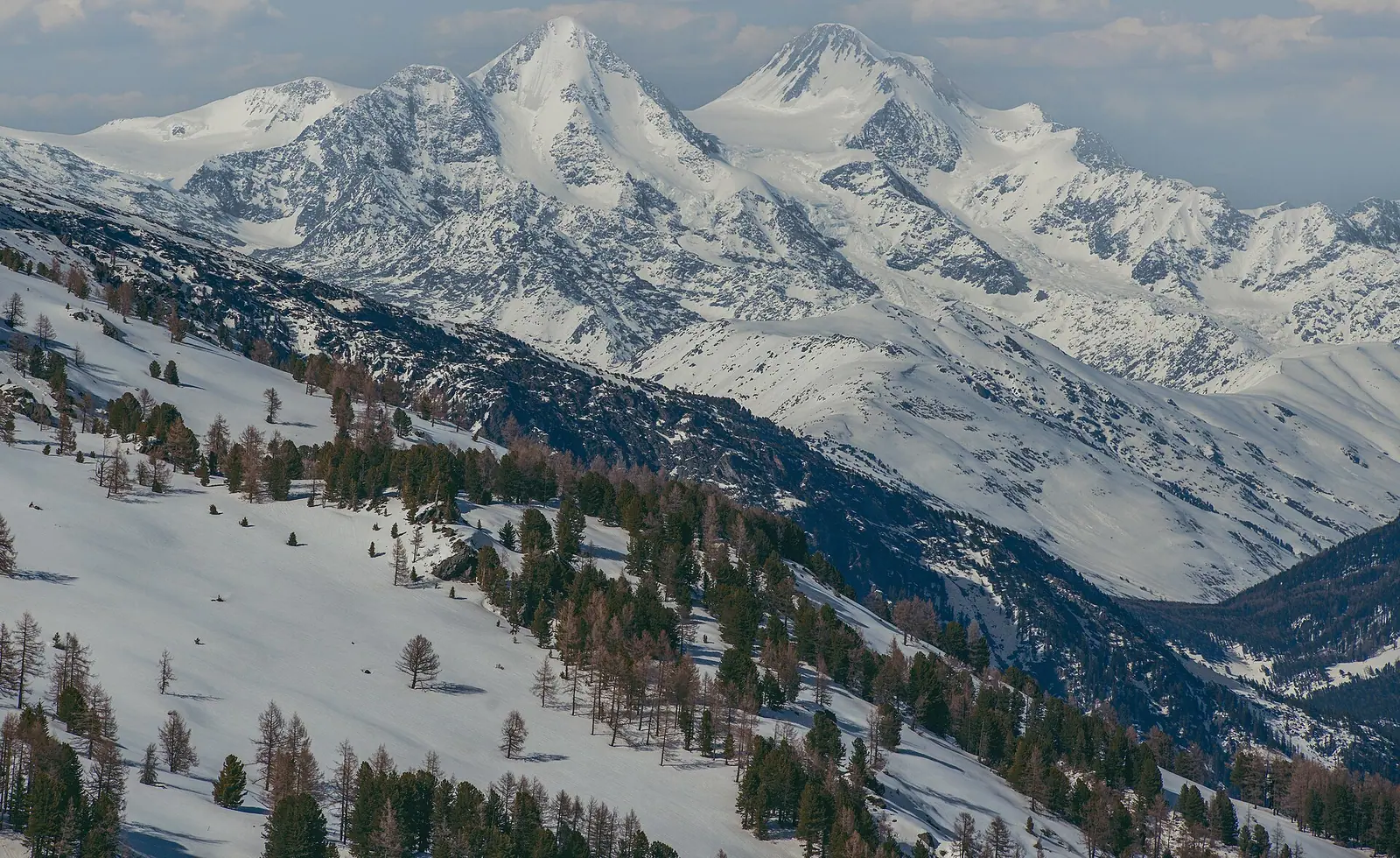
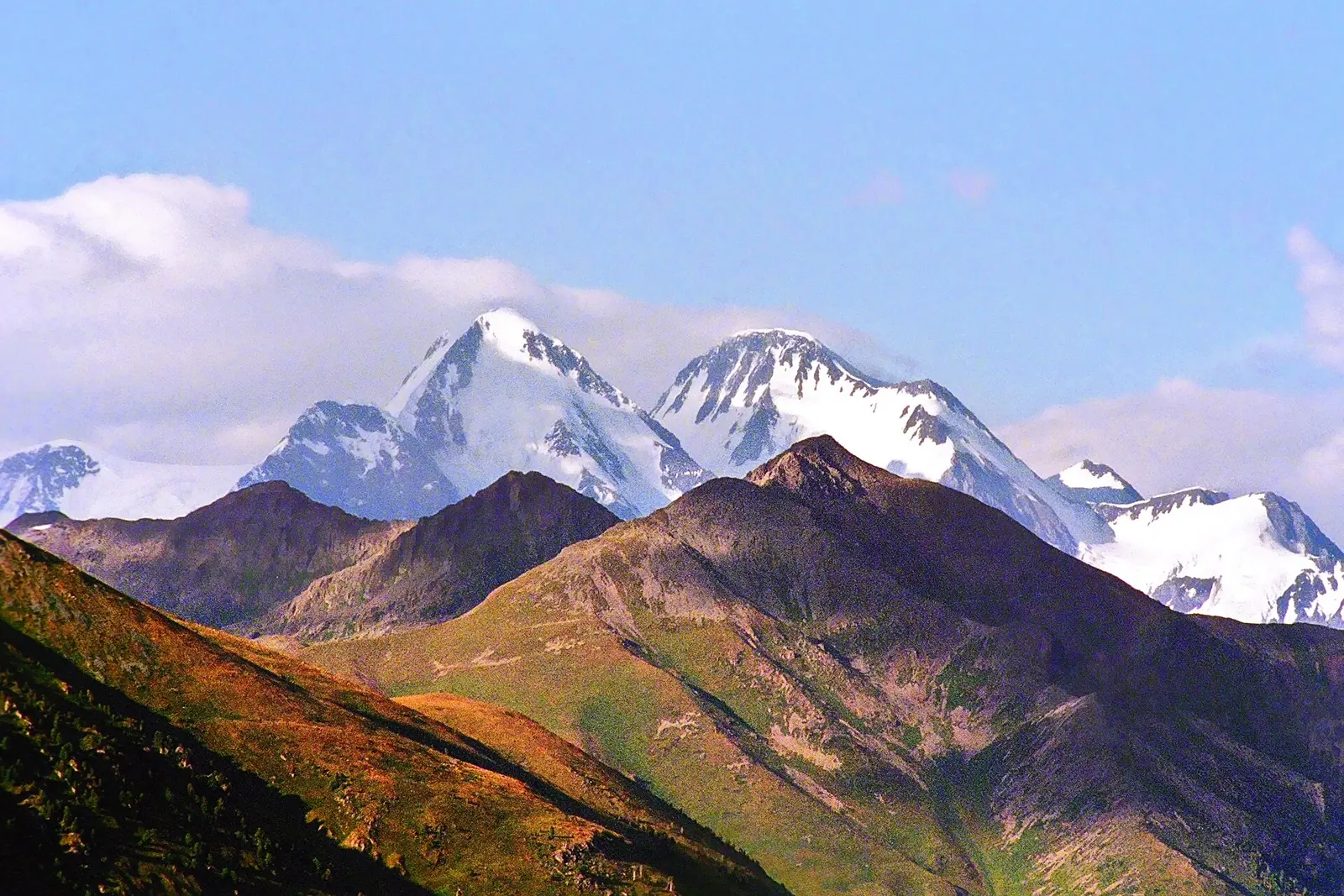
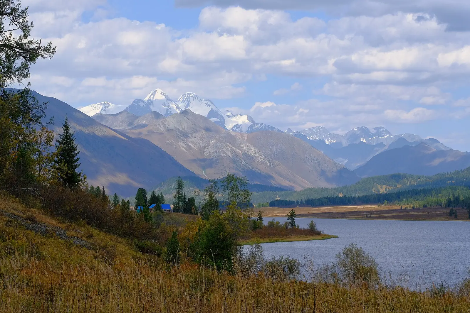
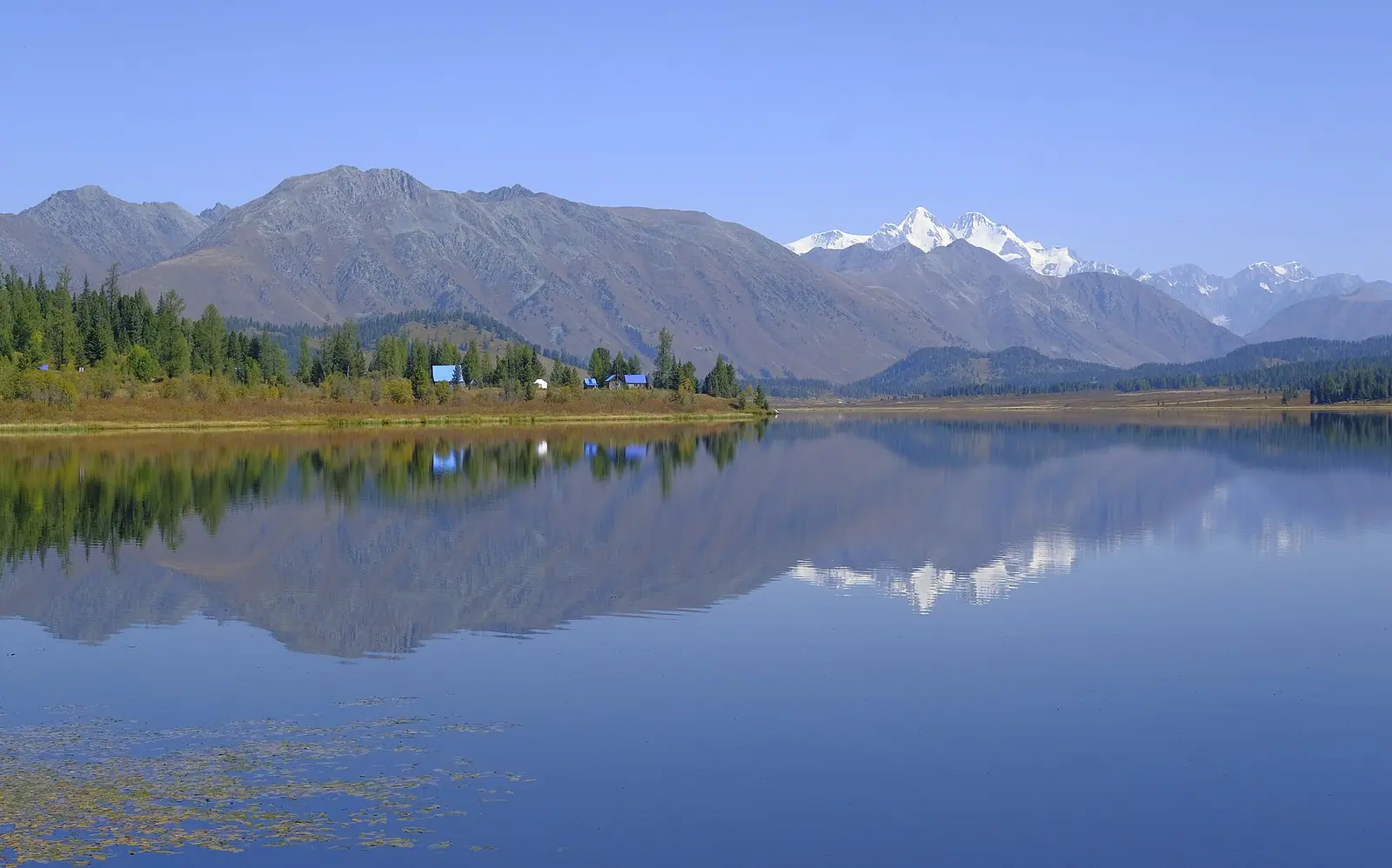
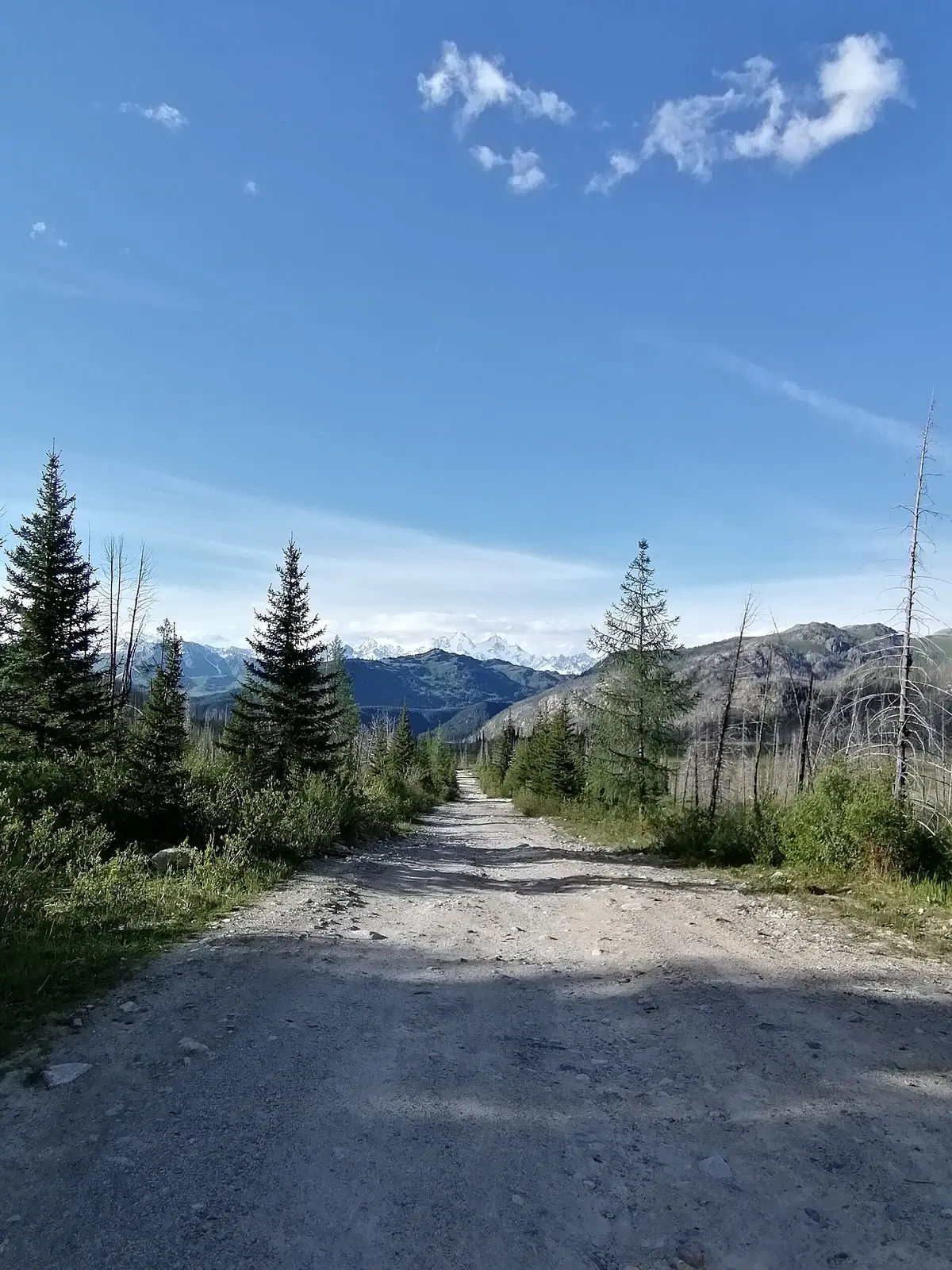
Real photos by travellers (Pexels, Unsplash, Wikimedia Commons); author and licence are given in each caption.
Belukha mountain is the highest point of the Altai Mountains, a multi-peaked massif reaching 4,506–4,509 m on the border between Kazakhstan’s East Kazakhstan Region and Russia’s Altai Republic. It lies in the far east of Kazakhstan, about 284 km in a straight line from Oskemen, and is part of the Golden Mountains of Altai World Heritage Site. English Wikipedia notes that the Altai is lower than other Asian mountain groups but very remote, so much time and planning are needed to approach it.
Where Belukha is, and what kind of trip it demands
Belukha sits at the eastern edge of Kazakhstan, a few dozen miles north of the point where China, Kazakhstan and Russia meet. The nearest city on this site’s distance list is Oskemen, about 284 km in a straight line; Semey is about 459 km. Taldykorgan is about 815 km away in a straight line, so treat Belukha as a separate expedition rather than an add-on to a trip around Almaty.
Straight-line figures understate the real distance. We could not confirm the road route, road condition or any public transport towards the massif, so check transport options before planning. The Kazakh name is Muztau; the Altai name Üç-Sümer means “the three peaks”.
Height, peaks and glaciers: what the sources say
The top of the massif is given as 4,509 m today and 4,506 m on a 1948 map, and English Wikipedia starts its range for the other high summits at about 4,350 m. The sources do not agree on how many summits there are, and the glacier figures in the Kazakh article lack clear units, so treat the details below with care.
| Point | English Wikipedia | Kazakh Wikipedia |
|---|---|---|
| Peaks | Multi-peaked massif; name means “three peaks” | Two peaks, the eastern one higher than the western |
| Height | High summits from about 4,350 m; the top is 4,506–4,509 m | No summit height given |
| Glaciers | Several small glaciers, including Belukha Glacier | Berel is the largest; Big Berel 10.3 and Small Berel 8.9 (units unclear) |
| Rivers | Not covered | Rivers flow towards the Katun (Altai Republic) and the Irtysh (East Kazakhstan) |
For the reader this means one thing: Belukha is an ice-covered high-mountain environment, and the Kazakh article notes permanent snow and ice on the slopes. Between 2001 and 2003 scientists drilled ice cores on Belukha Glacier down to bedrock; by tritium dating, the deeper cores may hold 3,000–5,000 years of climate records.
The first ascent and the usual route
Belukha was first climbed in 1914 by the Tronov brothers, named in the Kazakh article as B. V. and M. V. Tronov. Most ascents of the eastern peak still follow the southern route used on that first climb. Beyond this we could not confirm route grades, base camps or how long an ascent takes, so anyone planning to climb needs specialist mountaineering information that this page cannot give.
For comparison with a peak closer to Almaty, see Talgar Peak, the highest point of the Ile-Alatau range.
Permits are the main obstacle
The area is a border zone, and that shapes any visit. English Wikipedia says that since 2008 independent travellers, those not using an agency, must apply for a special border zone permit; foreigners should apply to the regional FSB border guard office two months before the planned date. The FSB is a Russian agency, so this rule concerns the Russian side of the massif.
| Question | What we could confirm |
|---|---|
| Permit on the Russian side | Required since 2008 for independent travel; apply two months ahead |
| Permit on the Kazakh side | Not confirmed |
| Fees, processing, documents | Not confirmed |
| Crossing the border on the mountain | Not confirmed |
Start permit enquiries early, since the source gives a two-month lead time.
When to go
We could not confirm climate figures for Belukha itself. The massif carries permanent snow and ice, so conditions outside summer are likely to be demanding. Ask local mountain guides or rescue services about the current season, snow conditions and glacier state before committing dates; the two-month permit lead time means you need to fix those dates early.
Combining Belukha with nearby places
The closest page on this site is Rakhmanov Springs, radon springs about 31 km in a straight line from the massif, in the same corner of the Altai. Everything else covered here, such as Charyn Canyon, lies more than 900 km away in a straight line in the Almaty region, so combining Belukha with the south of Kazakhstan means two separate trips.
- Permit rules and procedure for the Kazakh side of the massif
- Road route, road condition and any public transport from Oskemen
- Weather and snow conditions by month at the massif
- Whether crossing between the Kazakh and Russian sides on the mountain is allowed
- Route grades, base camps and time needed for an ascent
Belukha Mountain, the highest point of the Altai on the Kazakhstan–Russia border: tips before you go
- Start permit enquiries early: on the Russian side foreigners apply to the FSB border guard office two months before the trip.
- Use Oskemen as your reference city: it is the nearest on our list, about 284 km in a straight line, and road distance will be longer.
- Pair the trip with Rakhmanov Springs, about 31 km in a straight line from the massif, rather than with sights near Almaty.
- Climbing means glaciers and permanent ice: get route and conditions information from specialist mountaineering sources first.
More to see nearby


Frequently asked questions
How high is Belukha mountain?
Where is gora Belukha?
Who first climbed Belukha?
Do foreigners need a permit to visit Belukha?
Is Belukha a World Heritage Site?
Sources
Read also
 Berel Kurgans, the frozen burial mounds of the Kazakh Altai
 Lake Yazevoe in the Kazakh Altai: road, altitude and the permit question
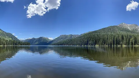 Rakhmanov Springs: radon hot springs in the Altai
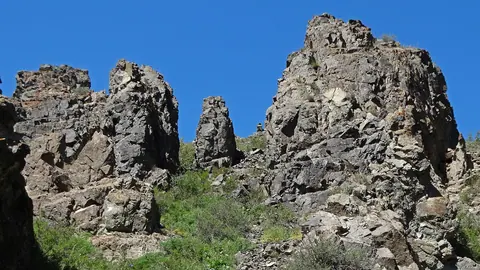 Tarbagatai
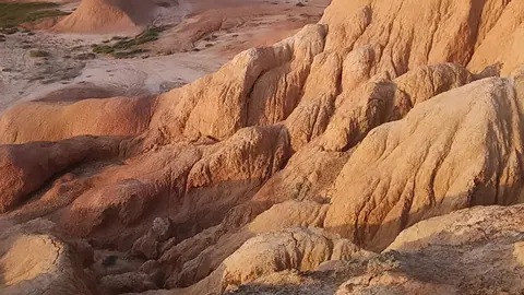 Kiin-Kerish, the Burning Cliffs near Lake Zaysan, and what a trip there takes
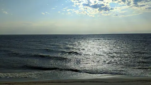 Lake Zaysan in Kazakhstan: an ancient lake on the Irtysh, now part of a reservoir