Bektau-Ata, a granite island in the steppe north of Lake Balkhash: when to go, month by month
- January: off season
- February: off season
- March: possible
- April: good
- May: best time
- June: good
- July: good
- August: good
- September: best time
- October: possible
- November: off season
- December: off season
May and September bring mild days around 21-22°C, midsummer is hot on bare rock, and from November to March highs stay near or below freezing.
Bektau-Ata, a granite island in the steppe north of Lake Balkhash: why go
Bektau-Ata granite peaks
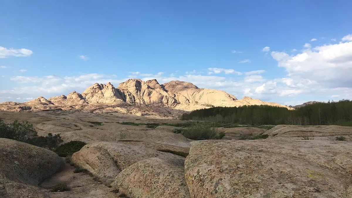
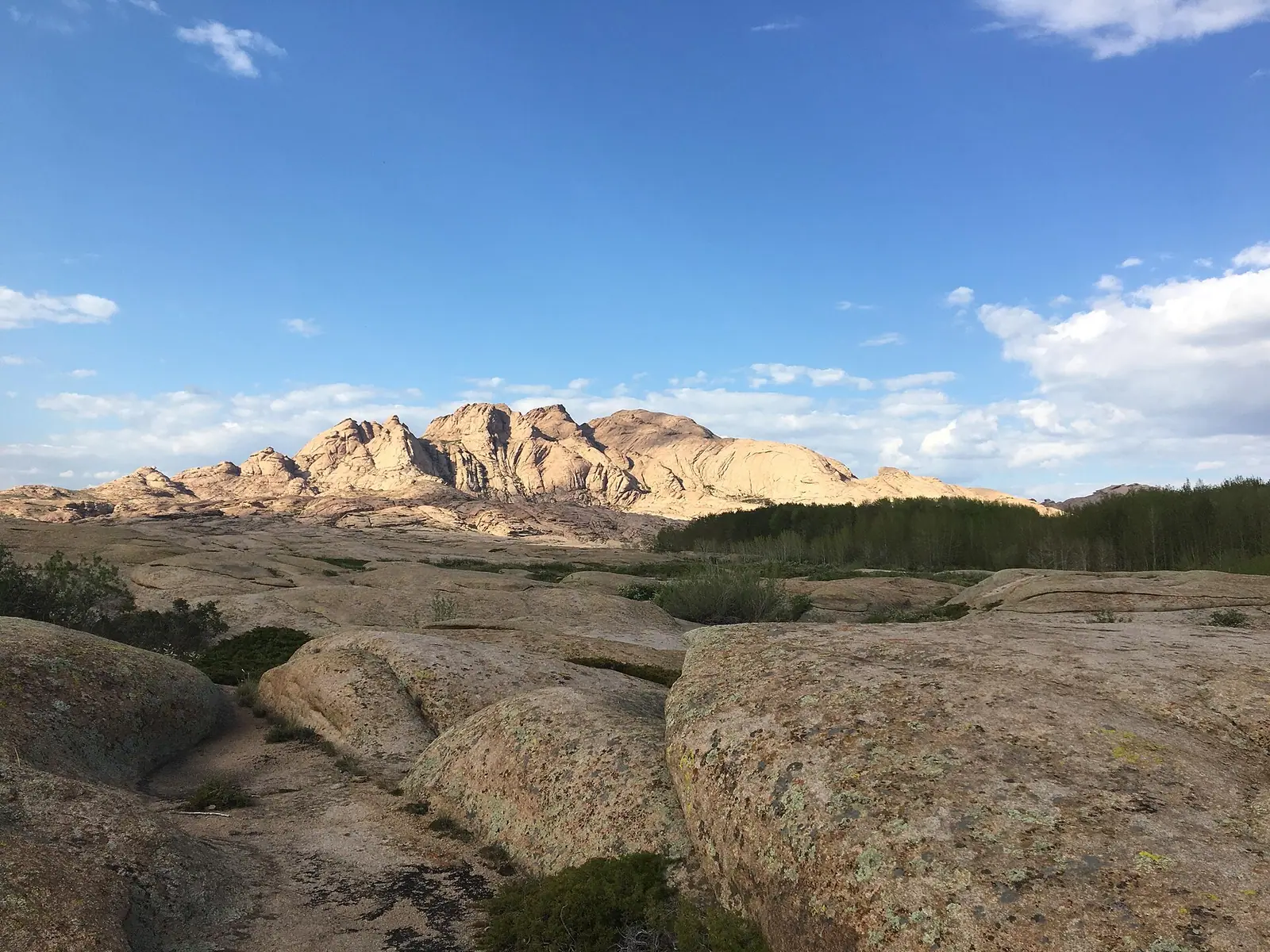
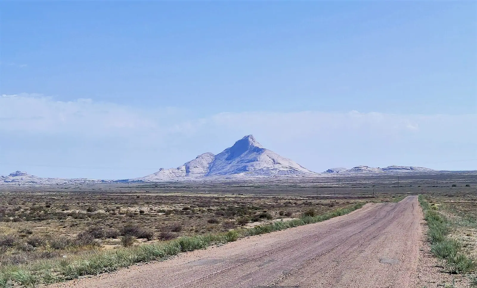
Six separate massifs of pink granite, led by Bektauata at about 1,213 m and Sarykulzha at 1,082 m, stand bare and steep above open steppe.
The saint's cave and Tasmola mounds
The largest cave is linked to the legend of Atabek, and an Iron Age Tasmola burial ground nearby yielded a granulated gold earring.
Getting to Bektau-Ata from Balkhash
Balkhash city, 60-70 km south, is the practical base, with its own airport. The M36 highway passes west of the range; we found no public transport.
Mild May and September
Reanalysis normals give highs near 22°C in May and 21°C in September, with nights near 9°C. July and August climb to 27-29°C on shadeless rock.
Aspen groves at Bektau-Ata
Aspen and willow grow in valleys and by rock pools in dry steppe, and 45 rare plant species are recorded here, 8 of them in the Red Book.
Bektau-Ata, a granite island in the steppe north of Lake Balkhash in photos
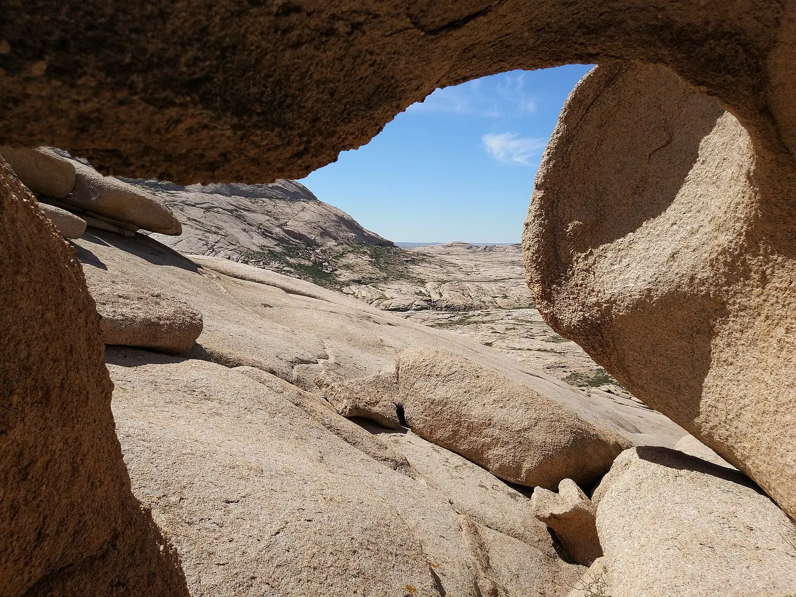
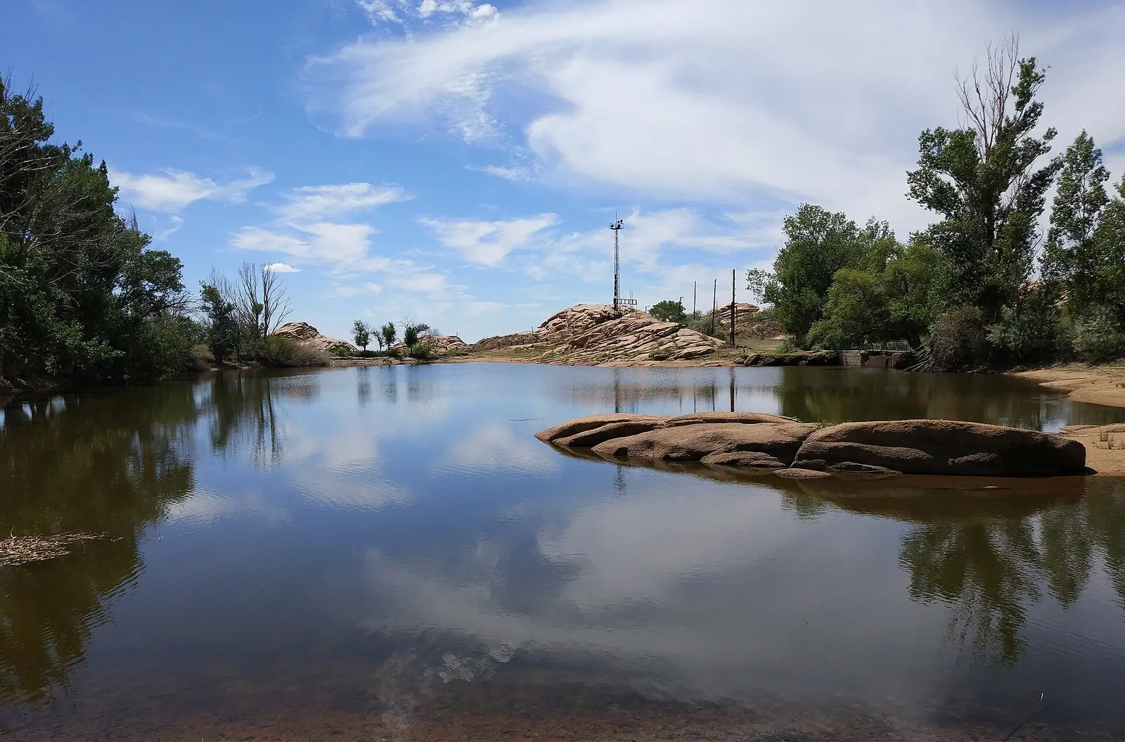
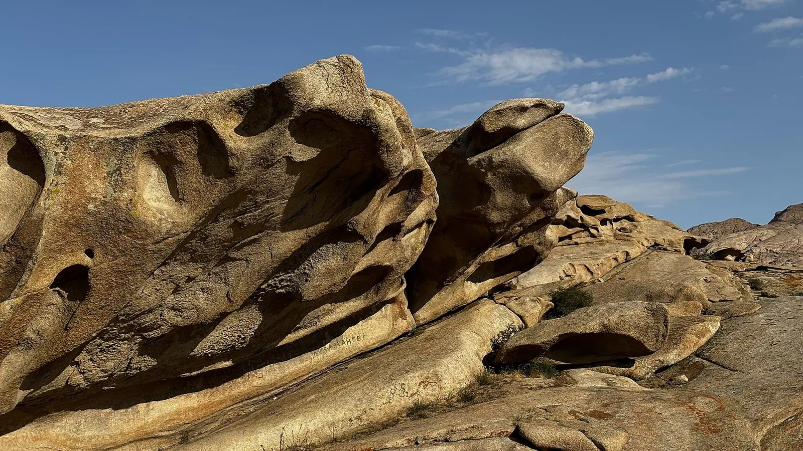
Real photos by travellers (Pexels, Unsplash, Wikimedia Commons); author and licence are given in each caption.
Bektau-Ata (Bektauata in Kazakh) is a small rocky mountain massif about 70 km north of Balkhash city, in the Aktogay District of Karaganda Region. It is a weathered granite outcrop that stands sharply above the surrounding steppe, with caves, rock pools and pockets of trees in its valleys. It suits travellers already heading to Lake Balkhash or crossing central Kazakhstan, not a day trip from Almaty or Astana.
Where Bektau-Ata is and what kind of trip it demands
Bektau-Ata lies at the southern edge of the Kazakh Upland (Saryarka), north of the city of Balkhash on the lake of the same name. Russian Wikipedia puts it 70 km north of Balkhash, Kazakh Wikipedia says 60 km, and English Wikipedia says less than 70 km. The M36 highway passes to the west of the range, and the nearest airport is Balkhash Airport.
The big cities are far. Karaganda is about 293 km in a straight line, Astana about 481 km, and Almaty-area sights such as Kok-Tobe and Medeu roughly 500 km, all in straight lines, so real road distances will be longer. In practice this means Balkhash is the base, and the trip makes most sense combined with a visit to Lake Balkhash.
For a visitor without a car or Russian, this is the hard part. We could not confirm any public transport to the massif, road conditions off the M36, or local guiding services, so plan for private transport arranged from Balkhash.
A granite massif of several separate peaks
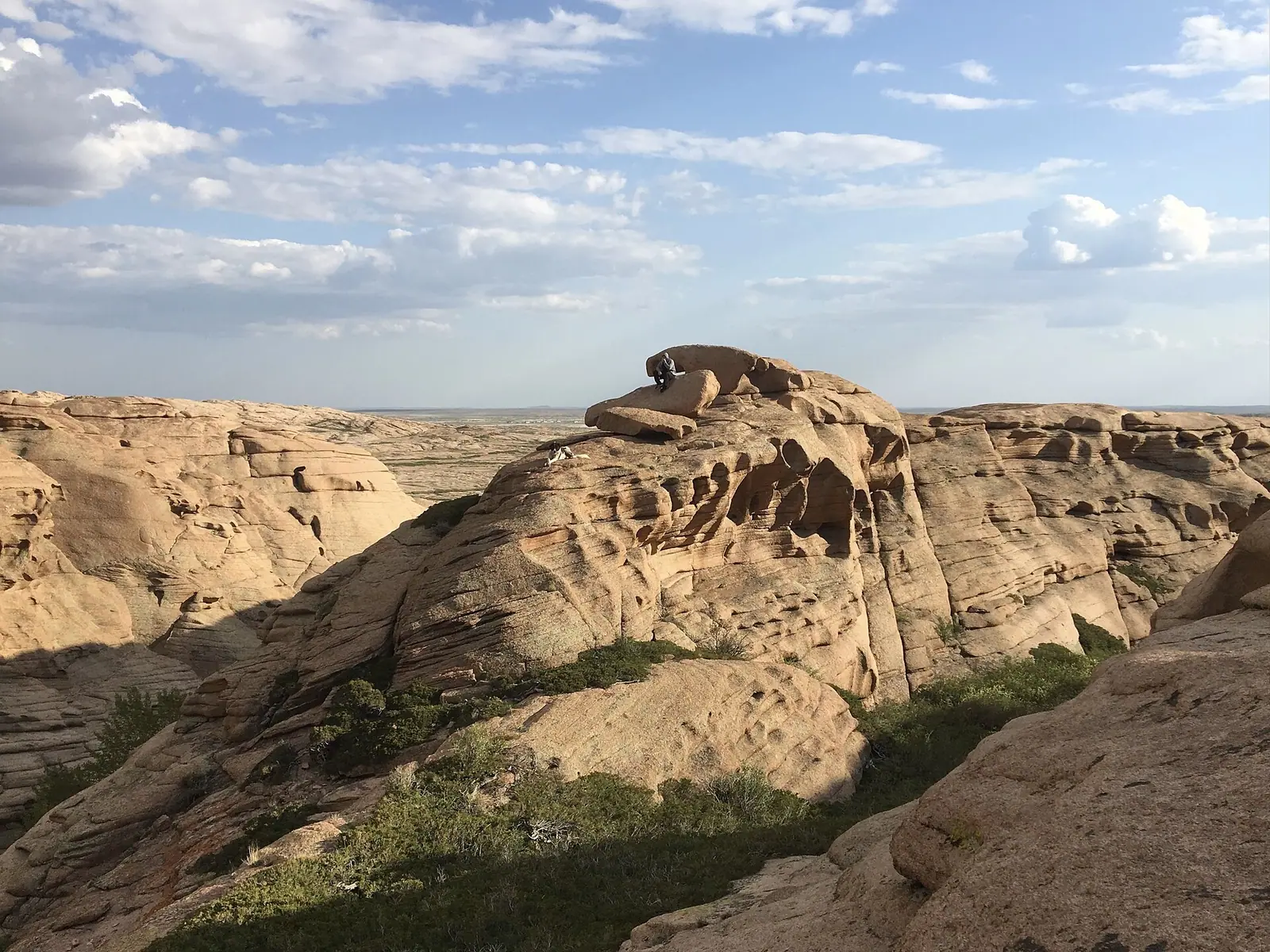
The range is not one mountain but a group of distinct granite massifs, the eroded remains of an intrusion of pink Carboniferous granite exposed after the softer rock around it wore away. Russian Wikipedia describes a hilly area about 5-7 km in radius; Kazakh Wikipedia gives 7 km from northeast to southwest and 3 km across. The slopes are steep, bare and smooth, with sharp tops.
The table below lists the main peaks. The two Wikipedia versions differ by about a metre on several heights, which makes no difference on the ground.
| Peak | Height (Russian Wikipedia) | Height (English Wikipedia) |
|---|---|---|
| Bektauata | 1,214.3 m | 1,213 m |
| Sarykulzha | 1,082.4 m | 1,082 m |
| Konyrkulzha (west) | 976.9 m | 976 m |
| Konyrkulzha (east) | 926.0 m | not listed |
| Karashoky | 893.9 m | 893 m |
| Zhaltas | 824.2 m | 824 m |
Bektauata is a small range of moderate altitude, topping out at about 1,213 m, so the scale is modest. What draws people is the contrast: bare rock towers, caves and rock pools in the middle of open steppe. The Kubyltaiozek valley separates Bektauata from Sarykulzha to the west.
The cave and the legend behind the name
The largest cave is 48 m long, and its inner part holds water to a depth of about 1.5 m, according to English Wikipedia. Kazakh Wikipedia links the caves to the place’s sacred status.
One legend in Kazakh Wikipedia tells of a holy man, Atabek, who lived in the era of wars with the Dzungars. Fleeing pursuers, he hid in the largest cave, high on a cliff rather than at the foot of the mountain, and a spring of fresh water opened at its back. The enemy never found him. Scholars offer other readings of the name: Alkey Margulan explained it as “Bek’s mountain”, and the toponymist Yerkebai Koishybaev as “sacred high mountain”.
The reverence is old. In 1868 the researcher N. I. Krasovsky wrote that people of nearby villages regarded the water-worn caves high in the granite as holy. Visitors should treat the cave as a place of pilgrimage, keep quiet and leave nothing behind.
There is also ancient history. The Bektauata burial ground is an early Iron Age site of the Tasmola culture, and a gold earring with a granulated cone-shaped pendant was found in one of its mounds.
Plants, animals and the sanctuary
The range is part of the Bektauata State Zoological Nature Sanctuary, an IUCN Category IV protected area. We could not confirm entry rules, fees or whether a permit is needed.
The flora differs sharply from the surrounding steppe. The slopes carry almost nothing but sparse shrubs and thin grass, while valleys and some rock pools hold aspen, willow and bushes. Kazakh Wikipedia counts 45 rare plant species here, 8 of them in the Red Book. Roe deer and argali occur occasionally.
English Wikipedia mentions a campsite in one of the valleys. We could not confirm its facilities or whether it operates every season.
When to go: late spring and early autumn
May, June and September are the most comfortable months. The figures below are computed ERA5 reanalysis normals for 2011-2020 at a grid point at 605 m, not readings from a weather station. The peaks rise to about 1,213 m, so the upper slopes will be cooler and windier than the table shows.
Day high, °C / Night low, °C · Rain/snow, mm
A computed reanalysis normal for these coordinates, not weather station records.
Monthly figures
| Month | Day high, °C | Night low, °C | Rain/snow, mm |
|---|---|---|---|
| Jan | -9.2 | -16.5 | 12.6 |
| Feb | -7.3 | -15.6 | 13.5 |
| Mar | 2.2 | -7.1 | 20.7 |
| Apr | 15.6 | 3.4 | 14.9 |
| May | 21.2 | 8.1 | 21.8 |
| Jun | 26.6 | 14.4 | 25.5 |
| Jul | 28.1 | 16.1 | 22.6 |
| Aug | 26.8 | 14.2 | 9.6 |
| Sep | 20.3 | 7.8 | 7.4 |
| Oct | 11.3 | 0.7 | 18 |
| Nov | 0.1 | -8.3 | 21.6 |
| Dec | -6.7 | -14.1 | 22.9 |
In May the grid point averages highs around 22°C and lows near 8°C; September is similar at about 20°C and 8°C. July and August reach 27-28°C by day, and the bare granite gives little shade. Winter is harsh: January highs stay near -9°C with nights around -17°C, so the massif is not a sensible trip from November to March. The climate is dry all year, with about 8-26 mm of precipitation a month, and August and September are the driest.
| Period | Daytime highs | What to expect |
|---|---|---|
| April | about 16°C | Cold nights near 3°C |
| May-June | 22-27°C | Best for walking and camping |
| July-August | 27-29°C | Hot on bare rock, start early |
| September | about 21°C | Dry and mild, a strong choice |
| October | about 11°C | Nights near freezing |
| November-March | 3°C or lower | Frost, not recommended |
- Road condition from the M36 to the massif and whether a standard car can reach it
- Any public transport or shared taxis from Balkhash
- Entry rules, fees or permits for the Bektauata State Zoological Nature Sanctuary
- Facilities and operating season of the campsite in the valley
- Safe access route to the main cave
Bektau-Ata, a granite island in the steppe north of Lake Balkhash: tips before you go
- Base yourself in Balkhash: it is the nearest city, 60-70 km south, and has the nearest airport.
- In July and August highs reach 27-29°C on bare granite with little shade, so climb early and carry ample water.
- The main cave holds water about 1.5 m deep inside; do not plan to wade in without local advice.
- The cave is a pilgrimage site revered since at least the 1860s: dress modestly and keep noise down.
More to see nearby

Frequently asked questions
How far is Bektau-Ata from Balkhash?
How high is Bektau-Ata?
What is inside the Bektau-Ata cave?
What is the weather like at Bektau-Ata?
Can you camp at Bektau-Ata?
Sources
Read also
 Almaty Zoo in Kazakhstan: opening hours and how to visit
 Ayusai Gorge, Almaty: visitor centre and waterfall trail
 Gorelnik Gorge above Medeu: waterfalls, trail and season
 Kamenskoe Plateau above Almaty: observatory and trails
 Pervomaiskie Ponds near Almaty: location, swimming, season
 Saty village: base for the Kolsai and Kaindy lakes