Bartogay Reservoir, a mountain irrigation lake on the Chilik River: when to go, month by month
- January: possible
- February: possible
- March: possible
- April: possible
- May: best time
- June: best time
- July: good
- August: good
- September: best time
- October: good
- November: possible
- December: off season
The irrigation release runs from June to September, and June and September combine it with milder highs than July, when highs average about 28 °C.
Bartogay Reservoir, a mountain irrigation lake on the Chilik River: why go
Bartogay Reservoir and its dam
A lake 6 km long and 3 km wide, held back by a 60 m dam on the Chilik River at about 1,067 m in the foothills east of Almaty.
Burial mounds of the Bartogay tract
Soil-covered kurgans, barely distinguishable from the ground, and traces of old ditches mark a tract described as sacred since ancient times.
The road along the Narynkol highway
Kazakh Wikipedia puts the lake about 200 km from Almaty via Shelek and Baiseit on the Almaty–Narynkol highway, 131 km in a straight line.
Summer release season at Bartogay
From June through September water leaves for irrigation at 100 cubic metres per second, and a fountain over 100 m high is described at the outlet.
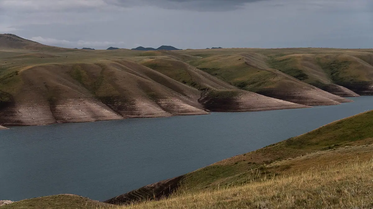
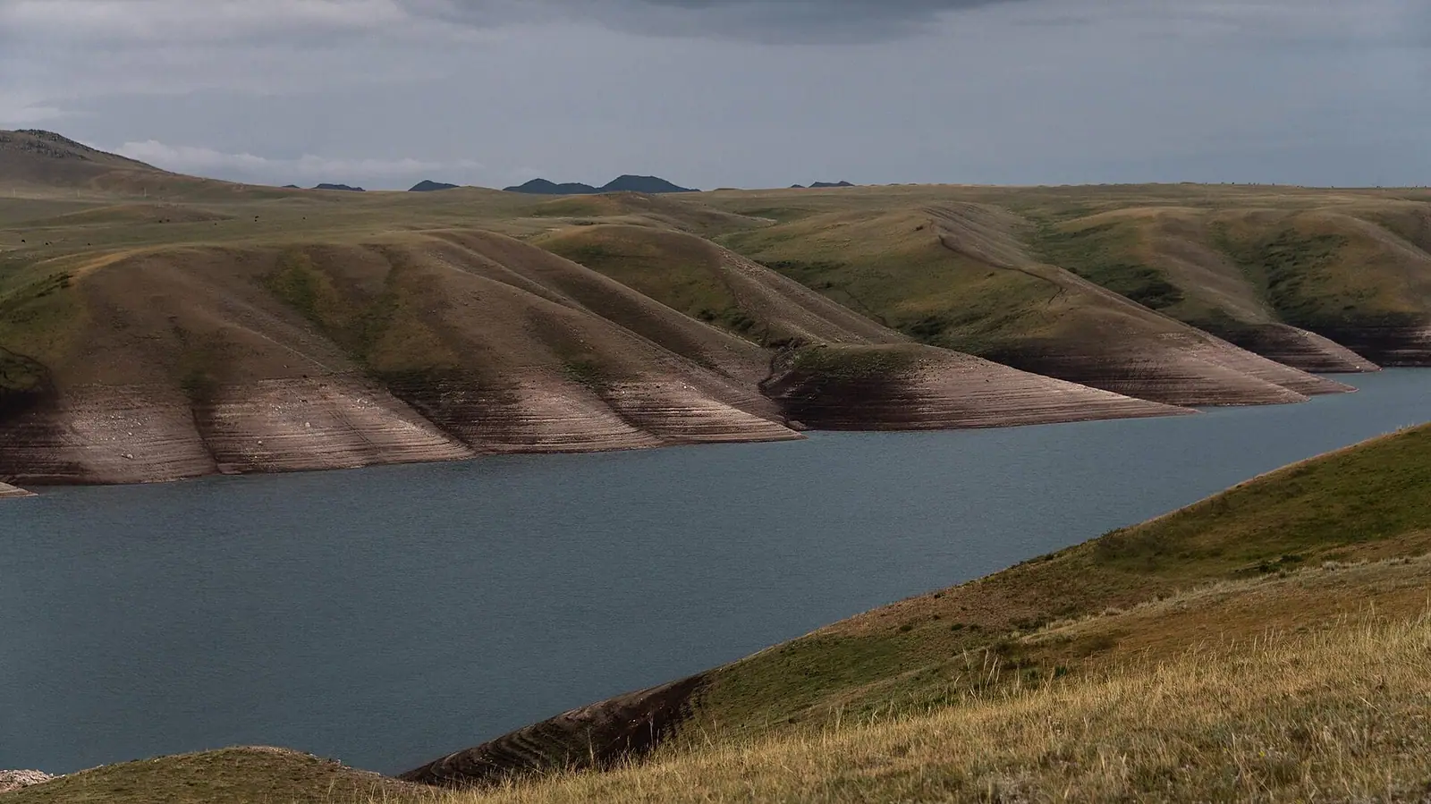
A lake that can shrink by more than half
The water level can swing by up to 25 m in a year, so the surface ranges from about 13 km² when full down to about 5.6 km².
Bartogay Reservoir, a mountain irrigation lake on the Chilik River in photos
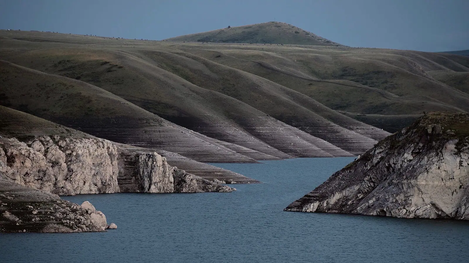
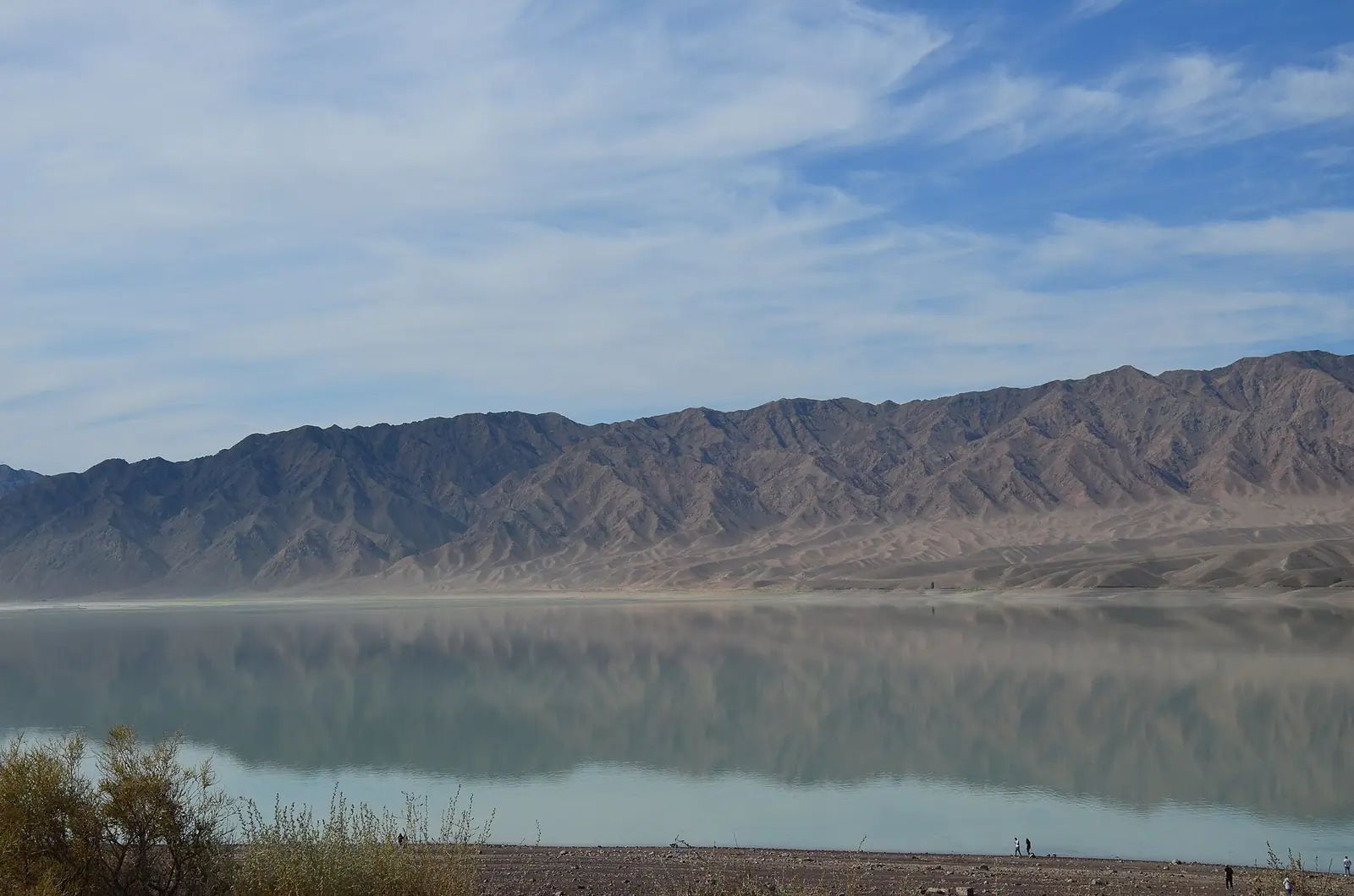
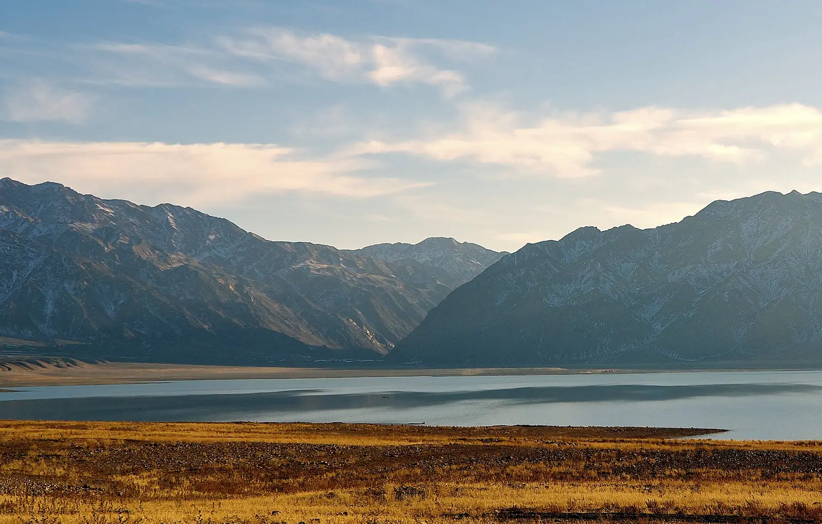
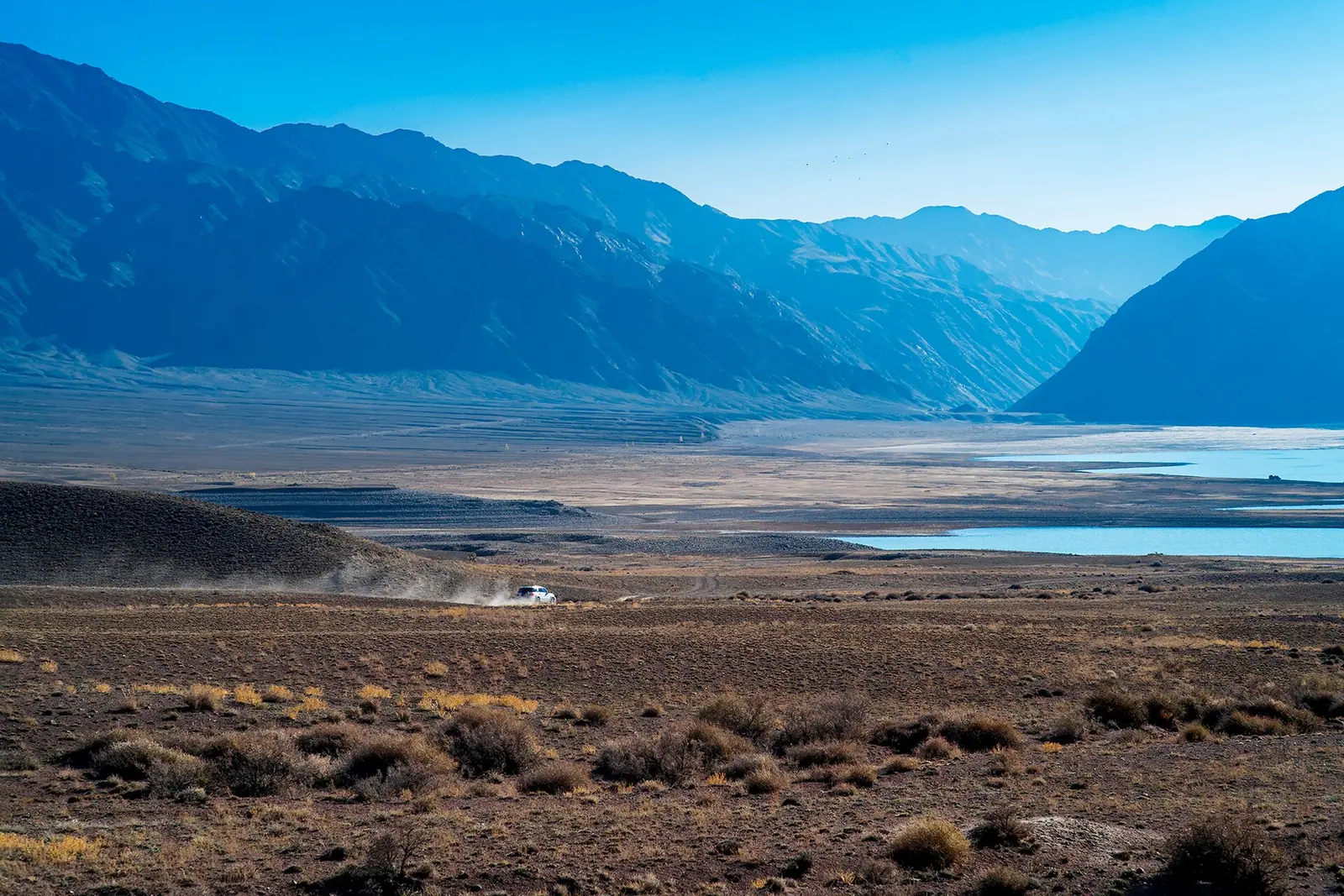
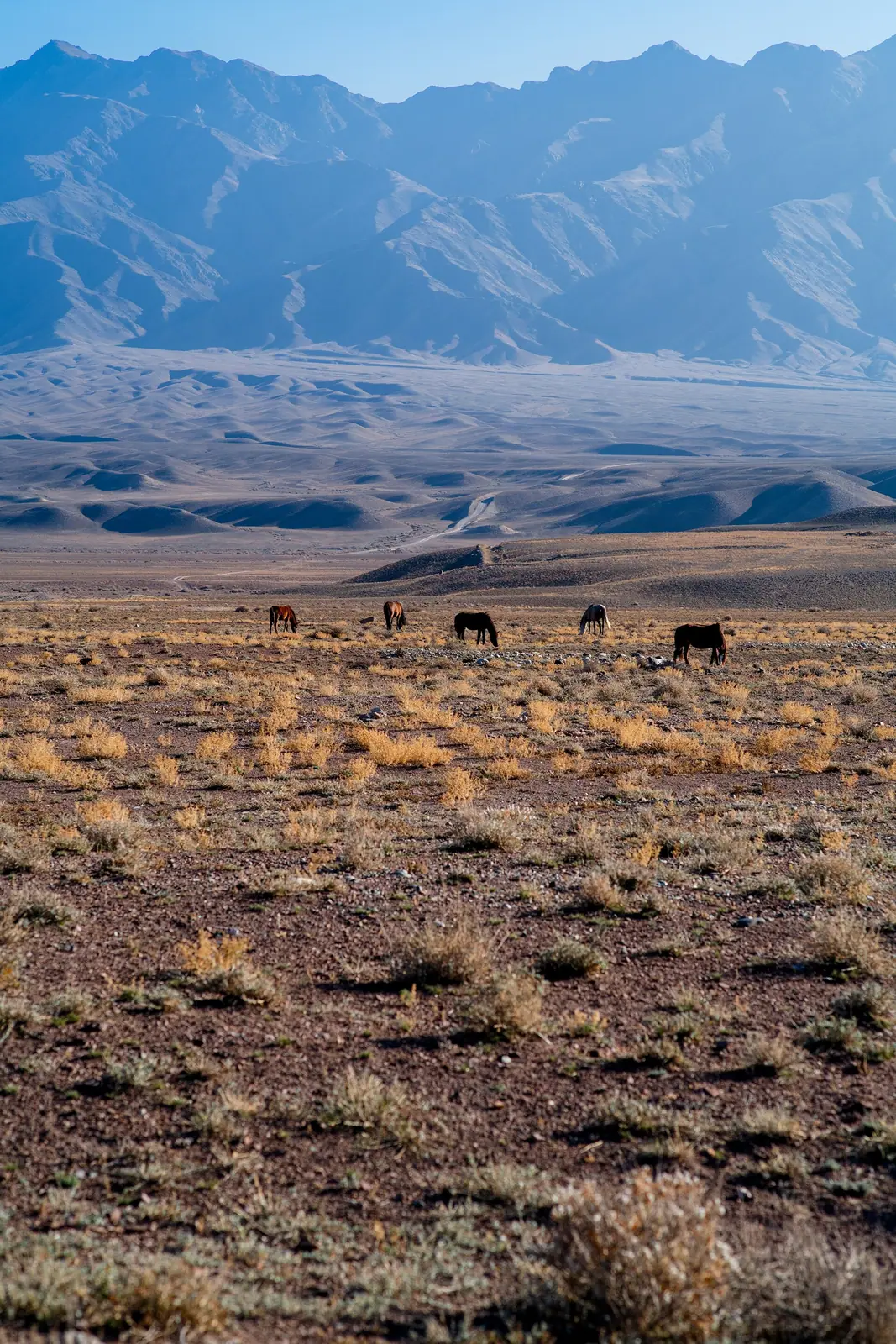
Real photos by travellers (Pexels, Unsplash, Wikimedia Commons); author and licence are given in each caption.
Bartogay Reservoir (Bartogai, Kazakh Bartoğai bögeni) is a man-made lake on the Chilik (Shelek) River in Almaty Region, about 131 km east of Almaty in a straight line. It was built in the 1980s to store water for farms at the foot of the Ile-Alatau range. Visitors come for the scenery, fishing and summer water releases. Charyn and Kaindy lie within about 50 km in a straight line.
What Bartogay is: a working dam, not a park
Bartogay is an irrigation reservoir first. The lake collects water in winter and releases it for irrigation from June through September. It is also where the Big Almaty Canal begins, which, according to Kazakh Wikipedia, runs about 170 km toward Almaty, watering the foothill farmland on the way.
The lake sits in the Enbekshikazakh district, about 10 km from the village of Asysaga, at the base of the Sogety Plateau (Syugaty Hills). English Wikipedia describes it as relatively pristine because it is far from any source of pollution.
| Key figure | Value |
|---|---|
| Length, north to south | 6 km |
| Width | 3 km |
| Average depth | 25 m |
| Maximum depth | 60 m |
| Surface area | 13 km² when full, down to about 5.6 km² |
| Volume | 320 million m³ (250 million m³ usable) |
| Elevation | about 1,067 m |
| Dam | 60 m high, 330 m long |
| Built | dam completed 1983, operational 1985 (English Wikipedia); fully commissioned 1986 (Russian and Kazakh Wikipedia) |
The most practical figure is the area range. The water level can change by up to 25 m in a year, so the lake you see may be far smaller than photos taken in a full season suggest. The sources also differ on the dam itself: English Wikipedia calls it a stone embankment, while Kazakh Wikipedia calls it reinforced concrete.
The summer release and the fountain at the outlet
The reason to time a visit is the irrigation release. From June through September, Kazakh Wikipedia says, the reservoir lets out 100 cubic metres of water per second. The same source describes a fountain over 100 m high at the outlet. It forms because the water is forced under pressure through a 3-metre tunnel cut through the mountain.
We could not confirm whether visitors can get close to the outlet, or whether the fountain is visible on every day of the release season. If this is your main reason to go, plan for summer and treat the fountain as possible rather than guaranteed.
An old sacred tract with burial mounds
The land around the lake is older than the dam. English Wikipedia describes Bartogay as an ancient tract enclosed by mountains that shelter it from the wind, with a wide clearing in the middle. The clearing was once farmed, and traces of old irrigation ditches survive.
There are many ancient burial mounds here. Their stones are covered with soil and barely stand out from the ground around them, so you may walk past one without noticing. The tract was long held to be sacred, a place for rites and celebrations. Treat the mounds as graves: do not climb on them or move stones.
The name means a wooded place or a place with groves in Kazakh. By Kazakh Wikipedia, the mountain-facing slope is wooded while the rest of the shore is rocky and bare.
Wildlife, fishing and rafting
The reservoir holds wild carp (sazan), crucian carp, common carp and trout. Recreational fishing in the lake and the outlet stream is permitted at certain times of year, but we could not confirm which months or what permit is needed.
On land, English Wikipedia mentions marmots. Kazakh Wikipedia adds deer, steppe snakes, foxes and wolves, along with rare plants listed in the Red Book. The same source says rafting is organised on the Shelek River, which gathers some 70 tributaries before reaching the reservoir. We could not confirm who runs trips or in which months.
Getting there from Almaty
Bartogay is a road trip, not a public transport outing. According to Kazakh Wikipedia it is about 200 km from Almaty, reached by the Almaty–Narynkol highway through the villages of Baiterek, Baidibek bi, Shelek and Baiseit. It is also about 15 km from the village of Kokpek. In a straight line it is about 131 km from Almaty and about 129 km from Konaev.
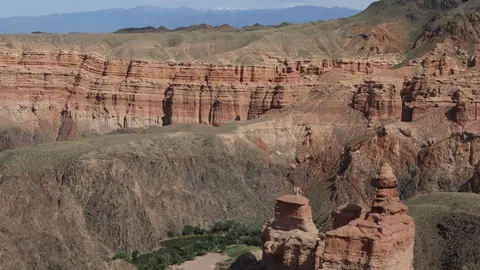
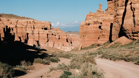
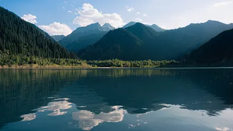
We could not find any bus route that reaches the lake, and the condition of the final stretch is unconfirmed. Without a car, a hired driver may be the practical option. Because the lake lies on the way east, it pairs well with Charyn Canyon, about 50 km away in a straight line, or with Kaindy Lake, about 41 km. For more options for a day out from the city, see nature near Almaty.
When to go to Bartogay
Late spring to early autumn is the window. The figures below are computed ERA5 reanalysis normals for 2011–2020 at a grid point at 1,064 m, almost the same height as the lake, not readings from a weather station.
Day high, °C / Night low, °C · Rain/snow, mm
A computed reanalysis normal for these coordinates, not weather station records.
Monthly figures
| Month | Day high, °C | Night low, °C | Rain/snow, mm |
|---|---|---|---|
| Jan | -1.8 | -11.1 | 14.3 |
| Feb | 0.6 | -8.6 | 16.7 |
| Mar | 10.2 | -1.3 | 30.8 |
| Apr | 18 | 5 | 56.3 |
| May | 22.8 | 9.6 | 46.2 |
| Jun | 27 | 14 | 31.8 |
| Jul | 29.7 | 16 | 19.4 |
| Aug | 28 | 14.2 | 28.8 |
| Sep | 22.7 | 9.2 | 30.2 |
| Oct | 14.8 | 2 | 37.5 |
| Nov | 5.4 | -4.4 | 33.8 |
| Dec | -0.4 | -9.2 | 18.3 |
July is the warmest month, with average highs of about 30 °C and nights near 16 °C. The grid point may partly cover the water, so summer heat on the open shore is likely to be stronger. Winter is cold: January highs stay just below freezing and nights average around −11 °C. April and May are the wettest months, at about 46–56 mm each. September brings highs around 23 °C, little rain and the tail of the release season.
| Period | Weather | At the lake |
|---|---|---|
| Dec–Feb | highs around 0 °C, nights −7 to −10 °C | reservoir filling, no release |
| Mar–May | highs 9–21 °C, wettest stretch | spring, roads may be muddy |
| Jun–Aug | highs 25–28 °C, drier | irrigation release under way |
| Sep–Oct | highs 14–21 °C | release ends in September |
If you want the outlet in full flow, go between June and September. June and September have milder highs than July, with the release still on.
- Whether any bus or shared taxi reaches the reservoir, and the condition of the last stretch of road.
- Fishing seasons and whether a permit is required.
- Whether visitors can approach the dam and outlet, and on which days the fountain is visible.
- Any entry rules, fees or access restrictions at the reservoir.
- Who organises rafting on the Shelek River and in which months.
Bartogay Reservoir, a mountain irrigation lake on the Chilik River: tips before you go
- Go between June and September if you want to see the irrigation release and the outlet in flow.
- Combine the trip with Charyn Canyon or Kaindy Lake, both within about 50 km in a straight line.
- Expect a smaller lake than in photos: the level can drop by up to 25 m and the area by more than half.
- Do not climb on or move stones of the burial mounds; the tract was long treated as sacred.
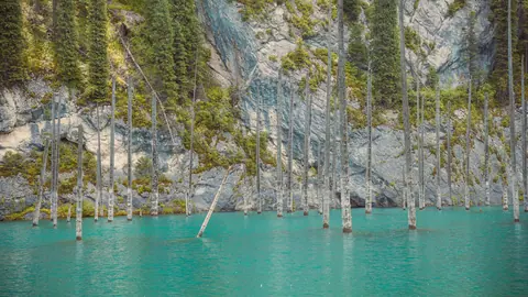
More to see nearby


Frequently asked questions
How far is Bartogay from Almaty?
Can you fish at Bartogay Reservoir?
When is water released from Bartogay?
When was the Bartogay dam built?
Is Bartogay close to Charyn Canyon?
Sources
Read also
 Almaty Zoo in Kazakhstan: opening hours and how to visit
 Ayusai Gorge, Almaty: visitor centre and waterfall trail
 Gorelnik Gorge above Medeu: waterfalls, trail and season
 Kamenskoe Plateau above Almaty: observatory and trails
 Pervomaiskie Ponds near Almaty: location, swimming, season
 Saty village: base for the Kolsai and Kaindy lakes