The Aral Sea in Kazakhstan: when to go, month by month
- January: off season
- February: off season
- March: possible
- April: good
- May: best time
- June: possible
- July: possible
- August: possible
- September: best time
- October: good
- November: possible
- December: off season
May and September have mild highs near 22–23 °C, while summer passes 30 °C and December to February stay below freezing.
The Aral Sea in Kazakhstan: why go
North Aral Sea, Kazakhstan
The part of the sea that refilled. Its water rose 12 m between 2003 and 2008, and many native fish have returned.
Aral Sea's lost fourth place
In the 1950s it was the world's fourth-largest lake, 426 km long and 68 m deep. By 2007 it had shrunk to about a tenth of that size.
Crossing the Aralkum seabed
There are no roads or road signs. Trips from Nukus take about 8 hours by jeep, carry four people and include a night of camping.
Spring and autumn at the Aral
May averages a 23.4 °C high and September 21.8 °C. January lows drop to about −7 °C, and July tops 30 °C.
Kerderi mausoleum on the seabed
The receding water uncovered a mausoleum from roughly the 11th–14th centuries. It had lain about 20 m under water.
The Aral Sea in Kazakhstan in photos
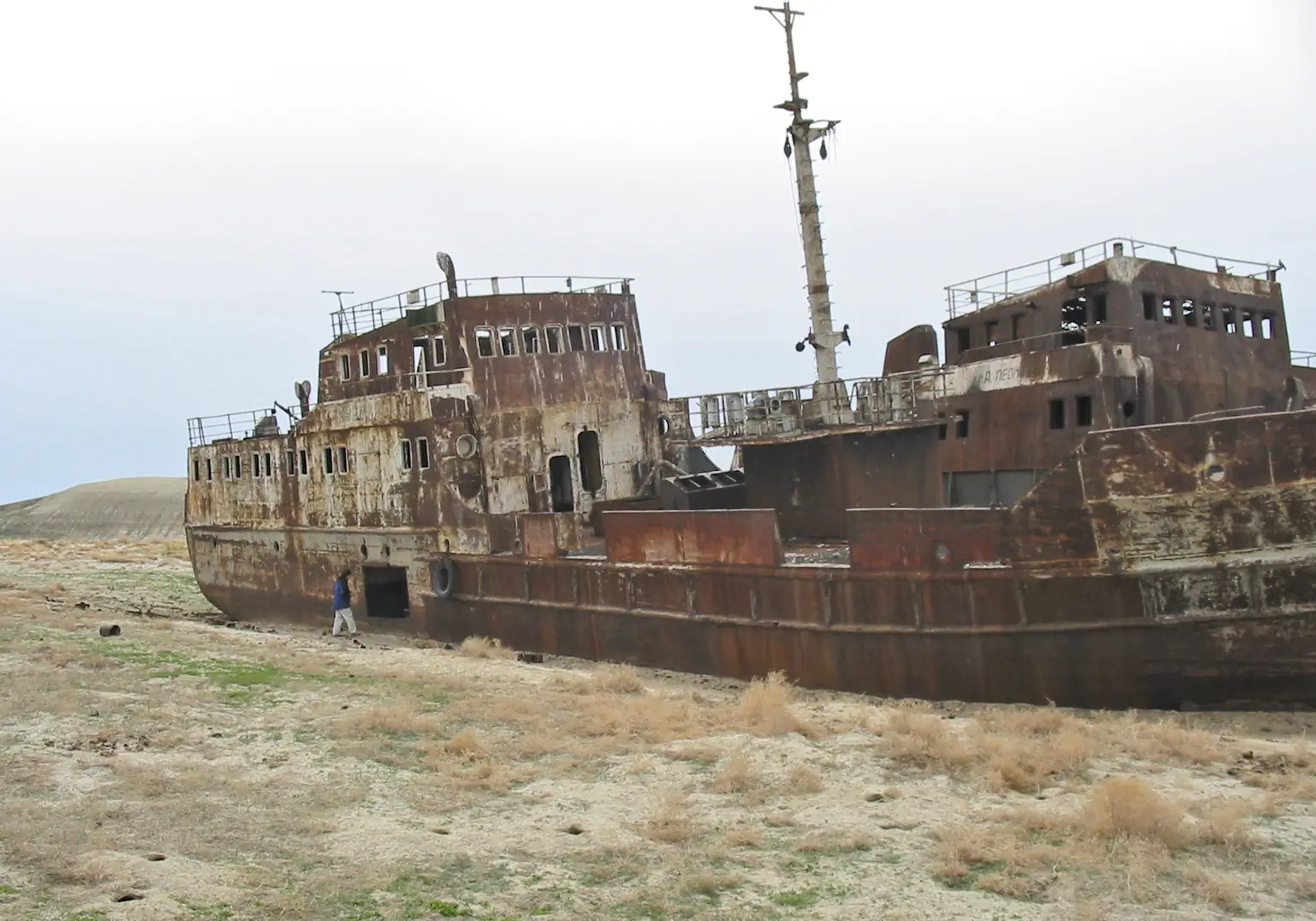
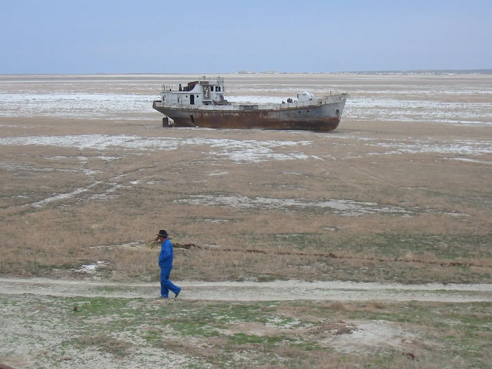
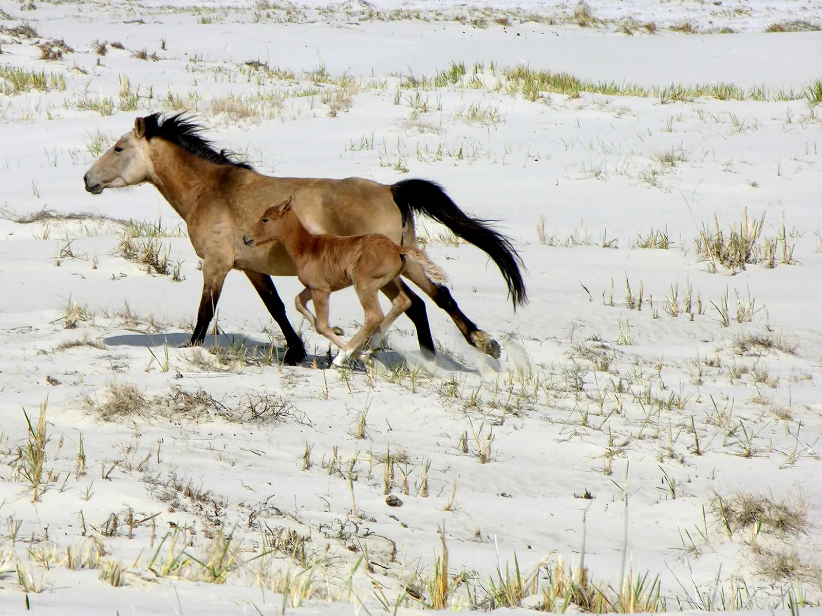
Real photos by travellers (Pexels, Unsplash, Wikimedia Commons); author and licence are given in each caption.
The Aral Sea lies on the border of Kazakhstan and Uzbekistan, in the far west of Central Asia. Kazakhstan holds the northern part and Uzbekistan the southern. It is a former salt lake that has shrunk to a fraction of its size since the 1960s. On the Kazakh side a dam has partly refilled the North Aral Sea. Elsewhere the old seabed has become a desert called the Aralkum, and reaching any of it means a long off-road trip.
Where the Aral Sea is, and which countries it borders
The Aral Sea sits between Kazakhstan to the north and Uzbekistan to the south. On the Kazakh side it lies in the Aktobe and Kyzylorda regions. On the Uzbek side it lies in the autonomous Republic of Karakalpakstan. It is a long way from Kazakhstan’s main cities. The point used on this page is about 463 km in a straight line from Kyzylorda and about 635 km from Aktobe. Almaty is roughly 1,400 km away in a straight line.
The lake had no outlet. It was fed by two rivers, the Amu Darya from the south and the Syr Darya from the east. In ancient times these were known as the Oxus and the Jaxartes. Its drainage basin is much wider than the lake itself. It covers Uzbekistan and parts of Afghanistan, Iran, Kazakhstan, Kyrgyzstan, Tajikistan and Turkmenistan.
The Kazakh base for trips is the town of Aral, also called Aralsk. Its fishing economy depended on the sea. On the Uzbek side the bases are Nukus and the former harbour town of Moynoq.
How the sea shrank: a timeline
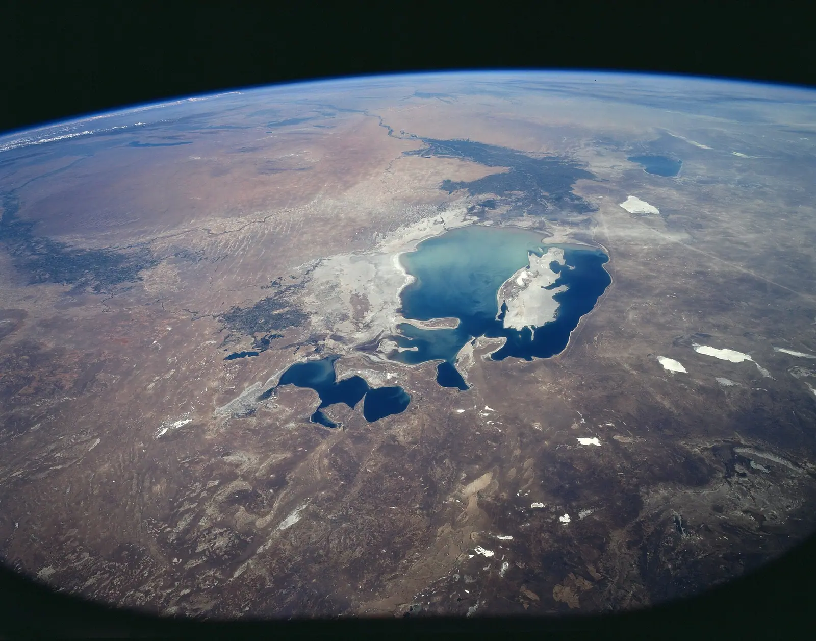
The sea began to fall in the early 1960s. Soviet irrigation schemes diverted both feeding rivers to grow cotton, melons, rice and cereals in the desert. In the 1950s the lake covered about 68,000 km². It was 426 km long and up to 68 m deep, according to Russian Wikipedia.
| Period | What happened |
|---|---|
| 1961–1970 | Level fell about 20 cm a year |
| 1970s | 50–60 cm a year |
| 1980s | 80–90 cm a year |
| 1986 or 1989 | Sea split into North (Small) and South (Large) Aral |
| 2001 | Vozrozhdeniya (Rebirth) Island joined the mainland |
| 2003–2005 | Kokaral dam built on the Kazakh side |
| 2007 | Down to about 10% of original size, in four water bodies |
| 2014 | Eastern basin of the South Aral dried out completely |
Sources disagree on the year of the split. Russian Wikipedia gives 1989 and Wikivoyage gives 1986. In 2014 the whole sea reached a low of 7,297 km². In spring 2015 it briefly spread to 10,780 km², then fell back to 8,303 km² by autumn.
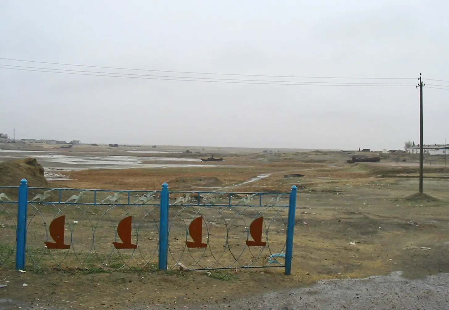
The practical point is simple. The shoreline you may see on an old map no longer exists. Former ports now stand far inland, and the water’s edge moves from year to year.
The Kokaral dam saved the North Aral Sea
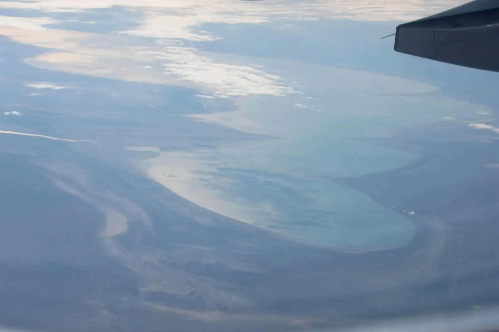
The North Aral Sea, the Kazakh part, has partly recovered because of a dam. The Kokaral dam runs from the Kokaral peninsula to the mouth of the Syr Darya. It was built in 2003–2005 and is 17 km long, 6 m high and 300 m wide. A sluice lets surplus water pass south to control the level.
By 2008 the water level had risen 12 m above the 2003 mark, to 42 m above sea level. Salinity dropped, and fish came back.
| North (Small) Aral | South (Large) Aral | |
|---|---|---|
| Country | Kazakhstan | Mainly Uzbekistan |
| Trend | Stabilised, partly refilled | Still receding, except in rare wet years |
| Water | Fresher since the dam | Salinity rose about tenfold |
| Life | Many native fish returned | Mostly brine shrimp, a few nematodes and rotifers |
| Fishing | Small-scale commercial fishing | Fishery lost, ports closed |
For a traveller, the table explains where to go. The Kazakh side is where you can see living water and working fishermen. The Uzbek side is where the scale of the loss is starkest. A second dam and a canal to the port of Aral were planned for 2010–2015. We could not confirm whether they were built.
Ship graveyards and Rebirth Island
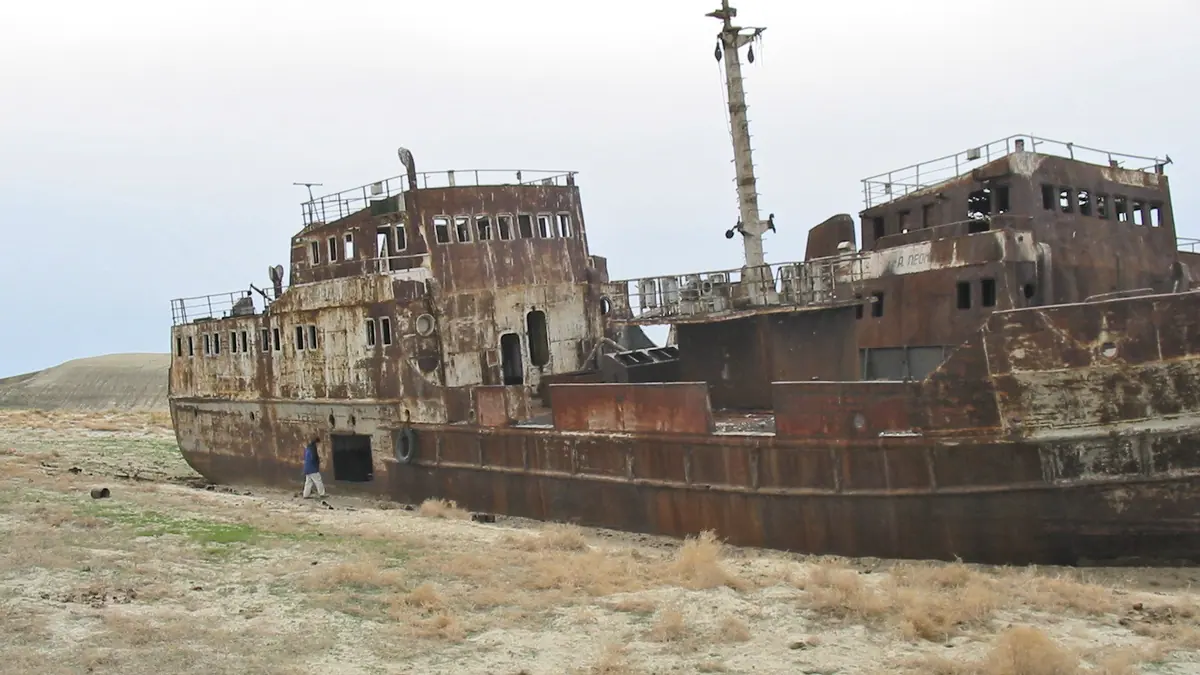
The rusting ships stranded on the old seabed are the region’s best-known image. Our sources say little about specific sites, though. Wikivoyage places a ship graveyard on the Uzbek side, mentioned alongside Nukus, about 200 km from the present water. It describes Moynoq as a former harbour town. We could not confirm the location or state of any ship graveyard on the Kazakh side near Aral.
Vozrozhdeniya, or Rebirth, Island lay in the Aral Sea. It joined the mainland in 2001. Until 1992 a Soviet military biochemical laboratory there tested biological agents on laboratory animals. These included anthrax, plague, tularaemia, brucellosis, typhus, smallpox and botulinum toxin. We have no information on whether the area can be visited, and it should not be treated as a sightseeing stop.
The retreat has also uncovered history. The remains of two settlements and mausoleums have been found on the dried bed. They include the Kerderi mausoleum, dated roughly to the 11th–14th centuries, which lay about 20 m under water for a long time. The 14th-century settlement of Aral-Asar has also been found.
Getting there takes a 4x4, a driver and a night in the desert
There is no simple way to reach the water. Wikivoyage advises arranging a 4x4 trip from Aral on the Kazakh side or from Nukus in Uzbekistan. It warns that there are no roads and no road signs on the old seabed. Going without a guide is not wise.
From Nukus the drive to the sea takes about 8 hours, and a jeep holds four people. The trip involves camping for a night. You can bring your own gear or rent it. Travellers usually cook their own food, and sharing it with the driver is customary.
Drivers speak Russian. If you have no car and no Russian, plan for a translator or a fixed arrangement made in advance. We could not confirm how the Kazakh trips from Aral work, how long they take or how often they run. If you are combining this with the rest of Kazakhstan, the nearest pages on this site are still far away. The Turkestan mausoleums are about 712 km in a straight line and Mangystau about 614 km.
When to go: spring and autumn
Spring and autumn are the sensible windows. Wikivoyage says summers are very hot and winters very cold, and it recommends March to May or September to November.
Day high, °C / Night low, °C · Rain/snow, mm
A computed reanalysis normal for these coordinates, not weather station records.
Monthly figures
| Month | Day high, °C | Night low, °C | Rain/snow, mm |
|---|---|---|---|
| Jan | -3.4 | -7 | 11.5 |
| Feb | -3.5 | -7.6 | 8.3 |
| Mar | 2.5 | -1.5 | 22.9 |
| Apr | 11.1 | 7.4 | 18.4 |
| May | 23.6 | 19 | 11.5 |
| Jun | 28.6 | 24.1 | 3.8 |
| Jul | 30.8 | 26.3 | 3 |
| Aug | 28.5 | 24.2 | 5 |
| Sep | 21.6 | 18 | 2.9 |
| Oct | 12.8 | 9.9 | 7.3 |
| Nov | 4.2 | 1.8 | 19 |
| Dec | -2.2 | -5.2 | 12.9 |
These figures are ERA5 reanalysis normals for 2011–2020 at a grid point 27 m above sea level. This is not a weather station. July nights stay unusually warm, with a mean low of 26.3 °C against a high of 30.8 °C.
May (23.6 °C high) and September (21.6 °C) are the most comfortable months. April and October are cooler, at 11.1 °C and 12.8 °C. December to February stay below freezing even by day, and January lows average −7 °C. Rain is scarce all year. June to September each get about 4 mm, so carry plenty of water for a camping trip in summer.
Dust, salt and the health question
The dried seabed is not a beach. Wikivoyage calls the region a disaster zone and says it is not a place for swimming or sunbathing.
Pesticide and other agrochemical residues from farm drainage appear in places on about 54,000 km² of salt-covered former seabed. Dust storms carry salt, dust and chemicals up to 500 km. Wikipedia reports serious public health problems in the region, including high child and maternal mortality.
The climate near the old shore has also become harsher. Within about 100 km of the former coastline, summers are drier and hotter and winters colder and longer. Expect strong wind and dust, and pack eye and mouth protection.
The year-by-year figures have their own page: Aral Sea before and after, with area, volume and the North Aral in 2026.
- How 4x4 trips from the town of Aral on the Kazakh side are run, and how long they take
- Whether a ship graveyard can be visited on the Kazakh side and where it is
- Whether the second-phase dam and canal to Aral planned for 2010–2015 were built
- Current access rules for the former Vozrozhdeniya (Rebirth) Island area
- Current water level and shoreline position of the North Aral Sea
The Aral Sea in Kazakhstan: tips before you go
- Arrange a 4x4 with a driver from Aral or Nukus. Wikivoyage warns there is no road and no road signs on the old seabed.
- Drivers speak Russian, so line up a translator or a fully arranged trip if you have no Russian.
- Bring food to cook and share. On trips from Nukus, travellers cook themselves and share meals with the driver.
- Protect your eyes and airways. Dust storms carry salt and pesticide residue up to 500 km from the dried seabed.
More to see nearby


Frequently asked questions
What countries surround the Aral Sea?
Is there fishing on the Aral Sea?
What is Rebirth Island in the Aral Sea?
Where was the Aral Sea, and is it gone?
What is the Aral Sea dam?
Sources
Read also
 Almaty Zoo in Kazakhstan: opening hours and how to visit
 Ayusai Gorge, Almaty: visitor centre and waterfall trail
 Gorelnik Gorge above Medeu: waterfalls, trail and season
 Kamenskoe Plateau above Almaty: observatory and trails
 Pervomaiskie Ponds near Almaty: location, swimming, season
 Saty village: base for the Kolsai and Kaindy lakes